 Hiking Alone in Capitol Reef National Park Utah

Kraig AdamsMar 2022 · Solo
- Days
- 2 days
- Direction
- Four day hikes: Capitol Reef on day 1, then about 3 hours' drive on…
- Cost
- about $420
- Lodging
- Hotels and guesthouses
North America · United States
Utah
Hikes / North America / Capitol Reef and Bryce Canyon
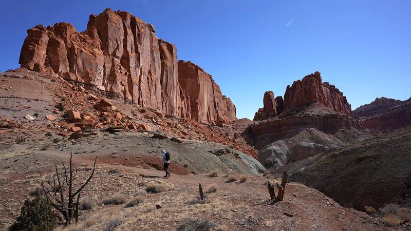
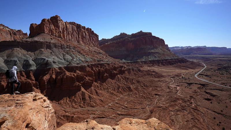
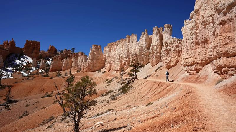
In late March 2022 I flew from New York to Las Vegas, rented a car and drove to southern Utah for three national parks in a row: Capitol Reef, Bryce Canyon, then Zion. This guide is the first two. On a Monday in Capitol Reef I hiked the Chimney Rock Loop in the morning, then Cohab Canyon, the Frying Pan Trail, Cassidy Arch and Grand Wash in the afternoon, one way to Utah 24. The next day in Bryce Canyon I walked the Rim Trail and the whole Fairyland Loop, then went down Queen's Garden and up the Navajo Loop in the afternoon. Four day hikes, about 26.7 miles (42.9 km) and 4,630 ft of climbing in two days by my GPS. It's the trip from my films Hiking Alone in Capitol Reef National Park Utah and Hiking the Fairyland Loop in Bryce Canyon National Park.
Kraig Adams
Effort at this pace: Hard · about 13 mi (21 km) and 2,316 ft (706 m) of climbing a day over 2 days, up to 8,156 ft (2,486 m). Our grade for the days given, worked out from distance, climbing and altitude a day; it isn't the trail's usual difficulty rating (under Basics) and doesn't rate exposure, terrain or weather.
From Kraig Adams's GPS recording and guide.
From Kraig Adams's GPS

Elevation5,230–8,156 ft26.7 mi
From Kraig Adams's GPS. Terrain: Mapzen Terrain Tiles (USGS 3DEP, SRTM) on AWS · Rivers & lakes © OpenStreetMap contributors
Kraig Adams's days
The film
 Hiking Alone in Capitol Reef National Park Utah
Before you go
From Kraig Adams's guide
From Kraig Adams's guide
From Kraig Adams's guide. For planning, not navigation: check before you go.
Their films and versions
1 creator so far: Kraig, 2 days, about $420, hotels.
Hiking Alone in Capitol Reef National Park Utah
Walked Capitol Reef and Bryce Canyon? Be the first to share your track: log it with your GPX.
Sign in and log a few hikes to see how long this one would take you.
Typical: 2 days (the hike's facts).
Planning questions about Capitol Reef and Bryce Canyon, answered only from this page's facts, the creators' versions and hikers' public tracks, with where each answer comes from. When the data doesn't say, the answer says "not given".
From hikers
Sign in to comment. Free; your hikes stay private unless you share them.
Answered from the data
Kraig Adams hiked it in 2 days.
From Kraig Adams's trip and guide.
For your budget (October 2026), four days from Las Vegas for two people, camping: about $420 each.
From Kraig Adams's trip and guide.
Late March, when I went. Cold nights and quiet trails. In Capitol Reef it was about 20 F at night, the fruit trees in Fruita had no leaves yet, and Torrey was half closed: "half of the things were open, half were not." At Bryce there were "little tiny pockets of snow, but I didn't need microspikes at all," and the streams weren't flowing.
From Kraig Adams's trip and guide.
Not for day hikes like these: the park pages list no permit. You pay the entrance fee at each park: in 2026, $20 a car at Capitol Reef and $35 at Bryce Canyon, or an $80 America the Beautiful pass for US residents.
From Kraig Adams's trip and guide.
Yes. From 2026, visitors who aren't US residents, aged 16 and over, pay a $100 nonresident fee on top of the entrance fee at Bryce Canyon and ten other parks. Capitol Reef isn't on the list.
From Kraig Adams's trip and guide.
8.0 miles and 1,900 ft of elevation change from Fairyland Point, by the Park Service. I started from Sunrise Point and walked the Rim Trail to Fairyland Point first: 9.5 miles by my GPS, in about 3.5 hours in late March.
From Kraig Adams's trip and guide.
From the Hickman Bridge trailhead on Utah 24, up Cohab Canyon, along the Frying Pan Trail to Cassidy Arch, down into Grand Wash and out to Utah 24: 8.4 miles one way by my GPS. It ends about 2 miles by road from where you start, so bring two cars or arrange a ride.
From Kraig Adams's trip and guide.
Yes. In late March 2022 I had pockets of snow but didn't need microspikes. The Park Service warns that March and April storms can bring heavy snow, recommends traction devices on icy trails, and the Navajo Loop's Wall Street side is closed in winter.
From Kraig Adams's trip and guide.
Scenic Byway 12 runs 123 miles from Torrey toward Bryce Canyon, about three hours of driving according to the Park Service.
From Kraig Adams's trip and guide.