Follow the Hiker
Find my next hikeGearSavedKraig Adams
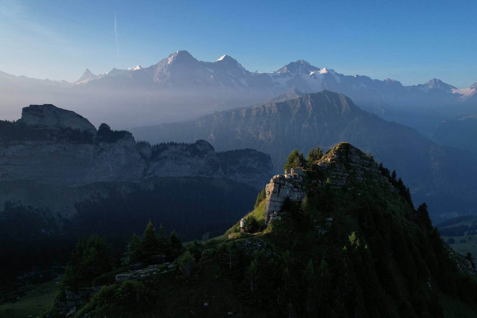
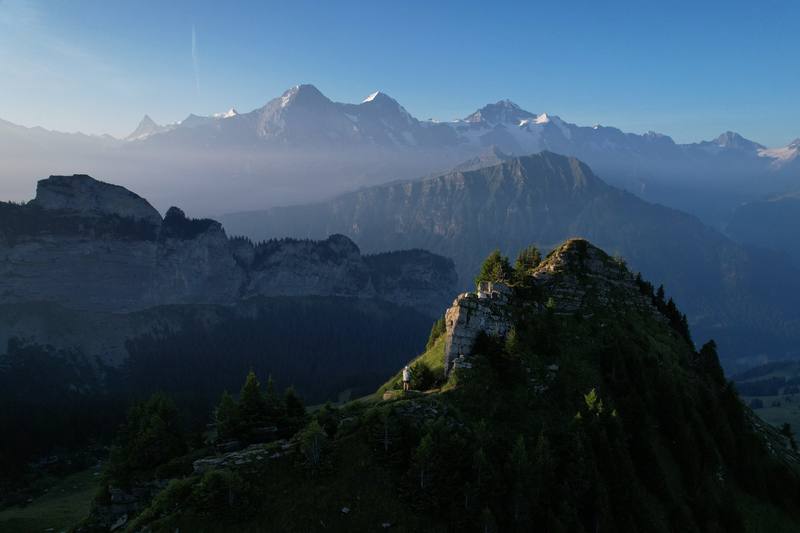
Sunrise above Schynige Platte on the morning of Day 2, with the Eiger, Mönch and Jungfrau behind.

Europe · Switzerland

Tour of the Jungfrau Region

Bernese Oberland, Switzerland

Distance
64.4 mi103.6 km
Days
4 days
Elevation gain
18,179 ft5,541 m
High point
8,796 ft2,681 m
Season
Summer
Lodging
Tent
Plan this hike

Hikes / Europe / Tour of the Jungfrau Region

In late July 2022 I spent four days hiking alone through the Swiss Alps around Grindelwald: a loop of about 64 miles from Wilderswil, just outside Interlaken, on sections of the Jungfrau Region's long-distance trails. I went up to Schynige Platte, over the Faulhorn to First and Grindelwald, along the Eiger Trail under the north face, down into the Lauterbrunnen valley, and back to Wilderswil from Mürren. I carried a tent, slept in it three nights, and ate at the mountain inns along the way.

Kraig Adams

Effort at this pace: Very hard · about 16 mi (26 km) and 4,545 ft (1,385 m) of climbing a day over 4 days, up to 8,796 ft (2,681 m). Our grade for the days given, worked out from distance, climbing and altitude a day; it isn't the trail's usual difficulty rating (under Basics) and doesn't rate exposure, terrain or weather.

Where these numbers come from

From Kraig Adams's GPS recording and guide.

Plan this hikeSave this hike

Plan: dates, gear, deadlines and stays in a private link. Save: keeps it on your account.

From Kraig Adams's GPS

The route, day by day

Relief map of the Tour of the Jungfrau Region route: 4 days drawn in red with numbered day starts, labelled Wilderswil, Faulhorn, Lauterbrunnen Valley, Grindelwald and Schynige Platte.

Elevation1,923–8,750 ft64.4 mi

From Kraig Adams's GPS. Terrain: Mapzen Terrain Tiles (EU-DEM, SRTM) on AWS · Glaciers, rivers & lakes © OpenStreetMap contributors

Tap a day for his map of it

  • Read day 1
  • Read day 2
  • Read day 3
  • Read day 4

The film

Watch it first

Hiking 60 miles Alone in Switzerland

Kraig Adams · Jul 23–26, 2022 · Solo

Sunrise above Schynige Platte on the morning of Day 2, with the Eiger, Mönch and Jungfrau behind.
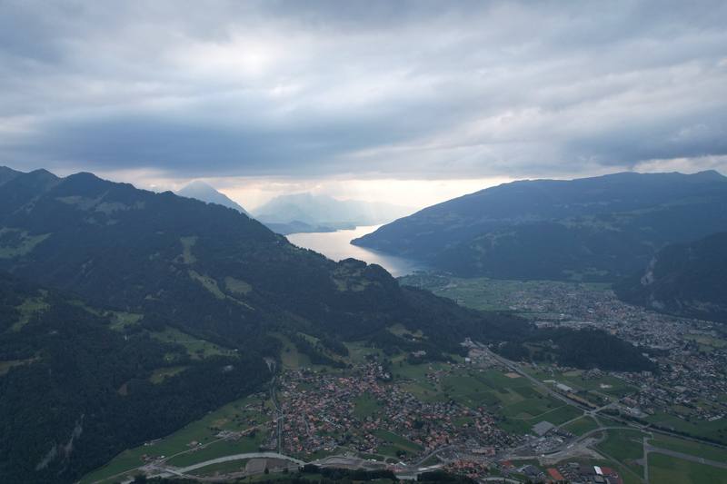
The view back over Interlaken from the climb to Schynige Platte, Day 1.
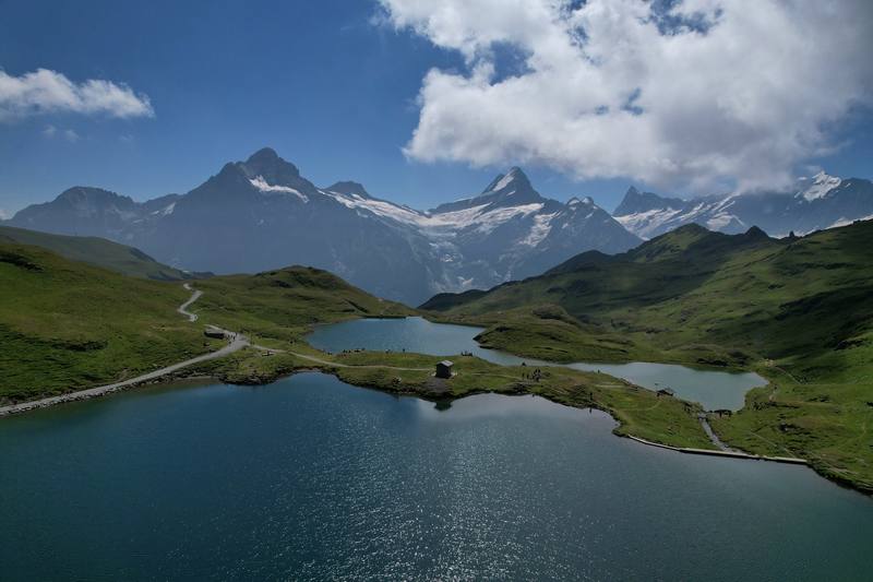
The Bachalpsee below the Faulhorn, Day 2.
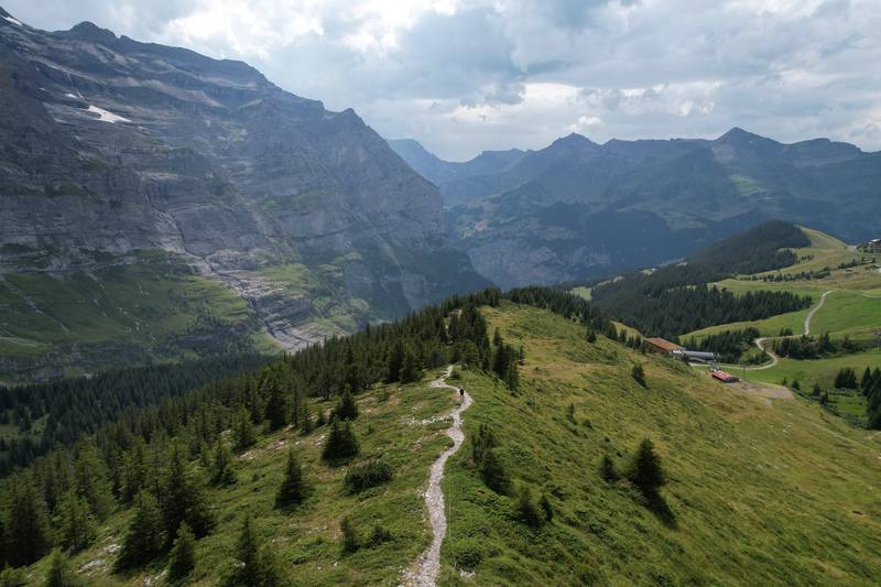
The path from Eigergletscher toward Wengernalp, with the Lauterbrunnen valley beyond, Day 3.
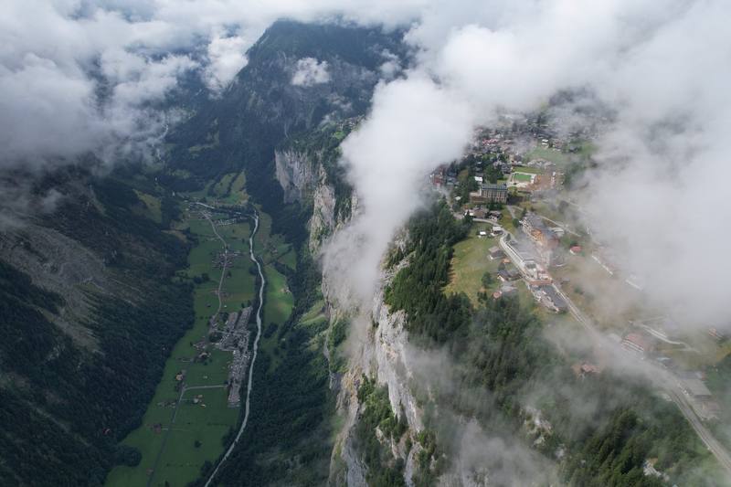
Cloud over the Lauterbrunnen valley from above Mürren, Day 4.

Before you go

The basics

Start
Wilderswil station, 5 minutes by train from Interlaken Ost
Finish
Wilderswil station, 5 minutes by train from Interlaken Ost
Direction
Loop from Wilderswil station, 5 minutes by train from Interlaken Ost
Usual difficulty
The paths are good and well signed, but my days were long. Day 2 was 24 miles, over 14 hours with stops, and Days 3 and 4 each finish with more than 5,000 ft (1,500 m) of descent. The high parts (the Schynige Platte ridge, the Faulhorn, the Eiger Trail) are rocky in places, with steep drops beside the path. Nothing needs climbing gear; the Eiger Trail has fixed ropes on its difficult sections. Try this at home: 15 miles with 4,000 ft of climbing and a pack, two days in a row. If that's too much, take the 7-day version in Other ways to do it, or use the lifts.
Best time
Summer; the high trail is usually open from mid-June
Permits
Nothing to book for the hike itself. The mountain inns are small, so book them ahead in July and August. Camping outside campsites is banned in Bönigen, Grindelwald and Lauterbrunnen, and in the Schwarzhorn hunting reserve around First (2026)
Getting there
I came from Zürich, where I'd stayed the night before. On the morning of July 23 I bought a Sunrise prepaid SIM, then took the train: CHF 51 from Zürich HB and CHF 28 from Bern to Interlaken Ost, 2nd class full fare (2022). At Interlaken Ost I left my big bag in a large locker for the four days and bought food at a supermarket. My recording starts at Wilderswil station at 5:15 p.m.
Nearest airport: Zürich or Geneva, then the train to Interlaken Ost
Lodging
Tent

From Kraig Adams's guide

Costs and gear

What Kraig carried

a green one-person tent · a hiking pack · trail runners · a hooded top, and an orange insulated jacket in camp · Hyperlite Mountain Gear Waypoint 35 · NEMO Hornet Elite OSMO 1P · Naturehike ZY20 Sleeping Bag Liner · Arc’teryx Beta AR Jacket and 17 more.

The full gear list

From Kraig Adams's guide

Safety

Rescue numbers

  • Call 1414 for Rega, the air rescue (+41 333 333 333 from a foreign phone), or 144 for an ambulance, 117 for the police and 112 for the European emergency number.

Phone signal

  • I bought a Sunrise prepaid SIM in Zürich on the first day (CHF 19.90, 2022).

Insurance

  • Rega's patronage (CHF 40 a year) is a donation, not insurance: Rega may waive or reduce costs for patrons at its discretion.
  • Get travel insurance that covers mountain rescue.

Bail-out points

  • Day 1, Wilderswil to Schynige Platte. Anywhere on the climb, go back down to Wilderswil. From Schynige Platte the railway runs down to Wilderswil until the evening; check the last train (see Trains, lifts and passes).
  • Day 2, Schynige Platte to Grindelwald. Before the Faulhorn, go back to Schynige Platte and the railway. From the Faulhorn on, head for First and the gondola down to Grindelwald (25 minutes). From Grosse Scheidegg, bus 128 runs down to Grindelwald station in about half an hour, hourly in summer (May 14 to October 18 in 2026), and it stops at Oberer Gletscher by Hotel Wetterhorn on the way. Pfingstegg has a cable car down to Grindelwald (April 25 to October 25 in 2026).
  • Day 3, Grindelwald to the Lauterbrunnen Valley. Before Alpiglen, go back to Grindelwald. Alpiglen and Eigergletscher are both stations on the Wengernalp and Jungfrau railways, and the Eiger Express gondola runs from Eigergletscher down to Grindelwald Terminal. Wengernalp has a station too, with trains down to Wengen and Lauterbrunnen or over to Kleine Scheidegg. Once you're below Mettlenalp, keep going down to the valley.
  • Day 4, Mürren to Wilderswil. From Mürren, the mountain railway runs to Grütschalp, and the cable car from Grütschalp goes down to Lauterbrunnen. From the Lobhornhütte a path goes down to Sulwald, where a small cable car drops to Isenfluh (every 15 minutes, 2026), with bus 142 on to Lauterbrunnen. After the Sulegg ridge, keep going down to Wilderswil; the other way down is Saxeten, which has only a few buses a day (line 111).

From Kraig Adams's guide. For planning, not navigation: check before you go.

Their films and versions

Creators who've done it

1 creator so far: Kraig, 4 days, tent.

Walked Tour of the Jungfrau Region? Be the first to share your track: log it with your GPX.

Your time

Sign in and log a few hikes to see how long this one would take you.

Typical: 4 days (the hike's facts).

Ask this hike

Planning questions about Tour of the Jungfrau Region, answered only from this page's facts, the creators' versions and hikers' public tracks, with where each answer comes from. When the data doesn't say, the answer says "not given".

    From hikers

    Comments

    Sign in to comment. Free; your hikes stay private unless you share them.

    Answered from the data

    Questions people ask

    How many days do you need for Tour of the Jungfrau Region?

    I did the loop in four days in July 2022, about 64 miles. With a bed every night it's a comfortable seven, and the trains and lifts let you cut almost any day short.

    From Kraig Adams's trip and guide.

    How much does Tour of the Jungfrau Region cost?

    My records for this trip are the receipts I photographed on the way. Prices are 2022, in Swiss francs.

    From Kraig Adams's trip and guide.

    When is the best time to hike Tour of the Jungfrau Region?

    Summer. The high trail over the Faulhorn is usually open from mid-June, and July to the end of September is the easiest window. I went July 23 to 26, 2022, and there was still a patch of snow below the Faulhorn summit.

    From Kraig Adams's trip and guide.

    Where do you sleep on the Tour of the Jungfrau Region?

    I camped at Camping Gletscherdorf in Grindelwald and Camping Breithorn in the Lauterbrunnen valley. There are mountain inns along the high part of the loop, like the Berghotel Faulhorn and Grosse Scheidegg. Wild camping is banned in Bönigen, Grindelwald and Lauterbrunnen.

    From Kraig Adams's trip and guide.

    How do you get to the start at Wilderswil?

    Take the train to Interlaken Ost: about 1 hour 55 minutes from Zürich, or about 3 hours from Geneva, changing in Bern. From Interlaken Ost the BOB train to Wilderswil takes 5 minutes. I left my big bag in a locker at Interlaken Ost.

    From Kraig Adams's trip and guide.

    Do you need to book anything?

    I didn't book anything for the hike itself. The mountain inns are small, so book those ahead in July and August. Camping Gletscherdorf takes bookings for its tent meadow online.

    From Kraig Adams's trip and guide.

    Plan this hikeThe route