 Hiking 80 miles Alone in Torres Del Paine Chile

Kraig AdamsMar 2020 · Solo
- Days
- 5 days
- Direction
- Counterclockwise
- Cost
- See his costs
- Lodging
- Huts and tent
South America · Chile
Patagonia, Chile
Hikes / South America / Torres del Paine O Circuit
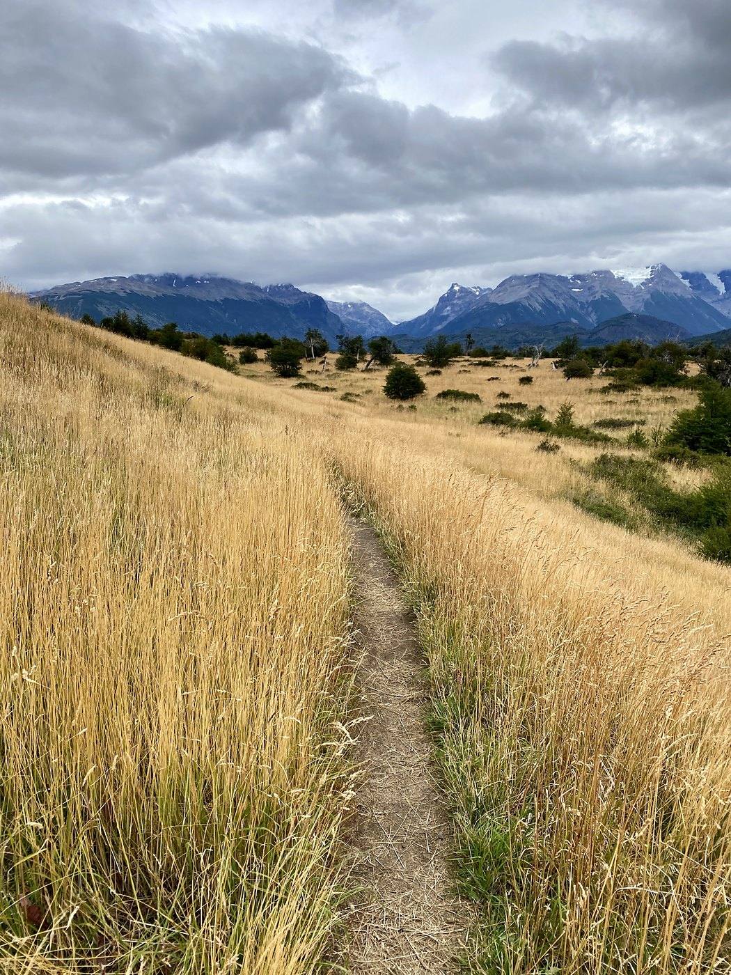
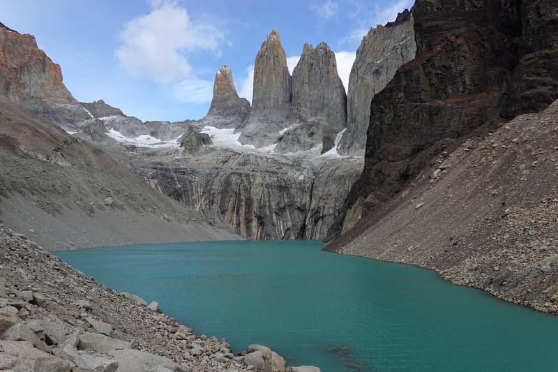
In March 2020 I flew to southern Chile and hiked Torres del Paine alone: the O circuit around the back of the Paine massif, then the W along its front, finishing at the foot of the three granite towers. I'd always wanted to hike in Patagonia, and Torres del Paine is one of the hikes you find the moment you research long treks. Most of the hiking world was still cold that March. Chile wasn't. I walked it in five days, about 85 miles by my GPS, with my own tent and food, and on the fourth day I let loose and walked 31 miles from Grey to Central.
Kraig Adams
Effort at this pace: Very hard · about 17 mi (27 km) and 2,917 ft (889 m) of climbing a day over 5 days, up to 3,963 ft (1,208 m). Our grade for the days given, worked out from distance, climbing and altitude a day; it isn't the trail's usual difficulty rating (under Basics) and doesn't rate exposure, terrain or weather.
From Kraig Adams's GPS recording and guide.
From Kraig Adams's GPS

Elevation102–3,927 ft85.3 mi
From Kraig Adams's GPS. Terrain: Mapzen Terrain Tiles (SRTM, GMTED) on AWS · Glaciers, rivers & lakes © OpenStreetMap contributors
Tap a day for his map of it
The film
 Hiking 80 miles Alone in Torres Del Paine Chile
Before you go
From Kraig Adams's guide
a black roll-top backpack · my own tent · a filter that screws onto my water bottle · a portable battery · sausage, cheese, crackers, nuts and dried fruit · NEMO Hornet Elite OSMO 1P · Therm-a-Rest NeoAir XLite NXT · Hyperlite Mountain Gear 20° Quilt and 16 more.
From Kraig Adams's guide
From Kraig Adams's guide. For planning, not navigation: check before you go.
Their films and versions
1 creator so far: Kraig, 5 days, huts and tent.
Hiking 80 miles Alone in Torres Del Paine Chile
Walked Torres del Paine O Circuit? Be the first to share your track: log it with your GPX.
Sign in and log a few hikes to see how long this one would take you.
Typical: 5 days (the hike's facts).
Planning questions about Torres del Paine O Circuit, answered only from this page's facts, the creators' versions and hikers' public tracks, with where each answer comes from. When the data doesn't say, the answer says "not given".
From hikers
Sign in to comment. Free; your hikes stay private unless you share them.
Answered from the data
I walked the O and the W in 5 days in March 2020, about 85 miles on my GPS, with two very long days. Most people take longer: the park suggests 8 to 10 days for the O and the operators about 8 to 9. Your camp bookings decide your days.
From Kraig Adams's trip and guide.
The park ticket for a foreign adult is CLP 48,500 for more than one day (2026). Camps in 2026-27 run from about US$11 a night with your own tent at Vertice's camps to US$50 or more at Las Torres. In 2020 I spent about $300 in pesos on the trek, plus about $1,000 for my flight.
From Kraig Adams's trip and guide.
Southern summer. The O opens about November to March, on dates CONAF sets each season. I walked March 10 to 14, 2020.
From Kraig Adams's trip and guide.
Yes. On the O and the W every night must be booked before you go in, with Vertice (Dickson, Los Perros, Grey, Paine Grande) or Las Torres (Serón, Francés, Los Cuernos, Central, Chileno). The rangers at Coirón check your O bookings. Day hikes like the Base Torres need only a park ticket, bought online at least 24 hours ahead.
From Kraig Adams's trip and guide.
Counterclockwise. The stretch from Serón over the John Gardner Pass to Paso is one-way, and you register at every ranger station and sign out at Los Perros and Paso.
From Kraig Adams's trip and guide.
Not in summer. On the W and the Base Torres guides stopped being required on September 16, 2026, after the winter rule, though microspikes and trekking poles were still required while snow and ice lasted. The O is closed in winter; on October 1, 2026 it was closed until October 31, pending the park's weather and safety review.
From Kraig Adams's trip and guide.
My GPS read 1,208 m (3,963 ft) at the pass; 1,200 m is the published figure. It is the one real climb of the circuit, about 2,100 ft up from Los Perros, and the windiest place on the route.
From Kraig Adams's trip and guide.