
Content made there
The film is at the top of this page.
Photos
Hikes / Timberline Trail / Kraig Adams's version
North America · United States
Jul 2023 · 2 days · about 40 miles · Solo · Tent

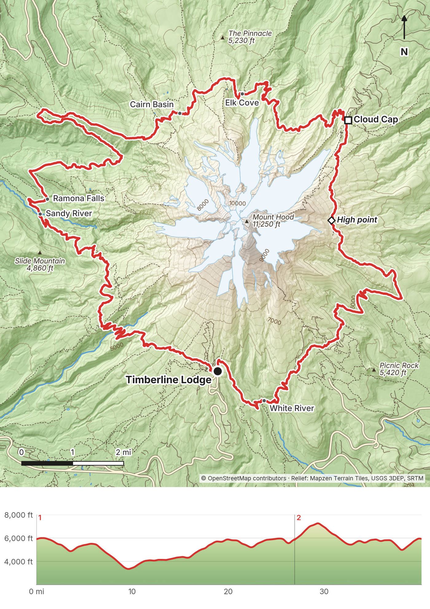
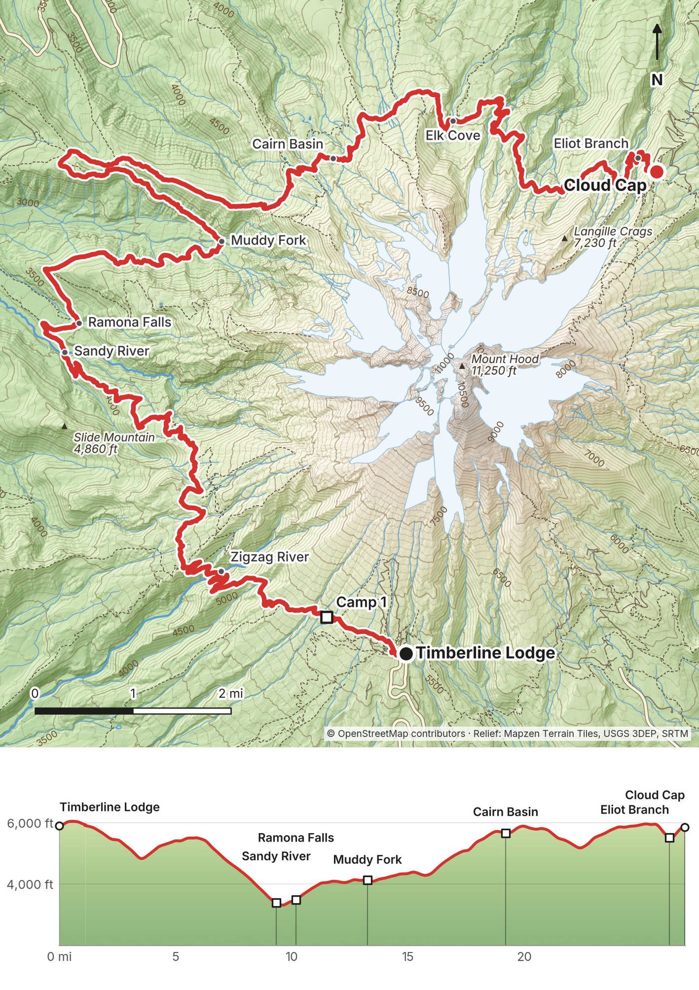
In July 2023 I hiked the Timberline Trail, the loop all the way around Mount Hood in Oregon, alone and in two days: about 40 miles clockwise from Timberline Lodge, past Zigzag Canyon, the Sandy River, Ramona Falls, Cairn Basin, Elk Cove and Cloud Cap, over the high point of the loop on the east side, through Mt. Hood Meadows and back across the White River to the lodge. It's the trip from my film Hiking 40 miles on the Timberline Loop in Oregon.
I'd been to Mount Hood a couple of times before, but I was really excited to finally do the loop all the way around. It's a loop, which is great if you're by yourself with one car. There are a bunch of entry and exit points, a few campsites, the falls and the stream crossings that make it interesting, and of course the lodge if you want an actual meal at the end.
| Quick facts | |
|---|---|
| Distance | 40.2 miles (64.7 km), a loop. The Forest Service calls it "approximately 40 miles" |
| Climbing | about 8,750 ft (2,670 m) up and 8,670 ft (2,640 m) down |
| Days | 2 days, plus a short walk-in the evening before. Most people take 3 or 4 |
| Start and finish | Timberline Lodge, about 6,000 ft, on the south side of the mountain, just over an hour's drive from Portland |
| High point | About 7,300 ft (2,227 m on my GPS), on the east side between Cooper Spur and Gnarl Ridge, Day 2 |
| Low point | The Sandy River ford, about 3,300 ft (1,000 m), Day 1 |
| When | July to October (Forest Service). I went July 21 to 23, 2023 |
| Difficulty | Long days, steep canyon walls, sandy trail, and glacial rivers with no bridges |
| Permit | Free, filled out at the trailhead box (2026). Summer parking at the lodge is free |
| Day | Route | Miles (km) | Up / down (ft) | Sleep |
|---|---|---|---|---|
| 1 | Timberline Lodge (1.1 miles the evening before), Zigzag Canyon, the Sandy River, Ramona Falls, Elk Cove and the Eliot Branch to Cloud Cap | 26.9 (43.3) | 5,327 / 5,350 | My tent a mile in, then Cloud Cap Saddle Campground |
| 2 | Over the high point, Newton Creek, Mt. Hood Meadows and the White River to Timberline Lodge | 13.3 (21.3) | 3,438 / 3,378 | Home |
The numbers are from my own GPS, smoothed the same way every day (see Using the GPX files). Day 1 counts from Timberline Lodge, so it includes the 1.1-mile walk-in the evening before; I walked the other 25.8 miles on the Saturday.
My way in. I'd just finished two hikes in British Columbia, the Howe Sound Crest Trail and Panorama Ridge. I immediately drove to the Vancouver airport, dropped off my rental car and jumped on a very quick flight down to Portland, Oregon: Air Canada, 5:05 p.m. to 6:19 p.m. on Friday, July 21. I was going boom, boom, boom with these hikes, so I needed to start the Timberline Loop that night. From the airport I got a new rental car, drove to REI and stocked up on some food and fuel, because you can't really fly with fuel: you have to get it at each new destination.
To Timberline Lodge. From Portland take US 26 east through Sandy, Welches and Government Camp, about 40 miles, then the Timberline Road 6 miles up to the lodge. The lodge calls it just over an hour from Portland; from the airport, plan on about an hour and a half. In winter, chains may be required.
Parking. Free in summer (2026), first come, first served, with separate areas for day use, overnight guests and buses. From November 1 to April 30 you need an Oregon Sno-Park permit ($4 a day, $9 for three days, $25 a year).
By bus. The Mt Hood Express runs every day between Sandy and Timberline Lodge, via Government Camp: $2 one way or $5 for a day pass (2026). Check the timetable on rideclackamas.org.
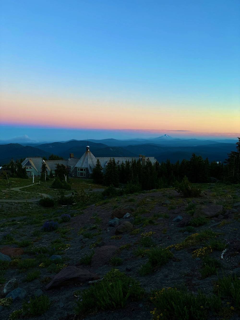
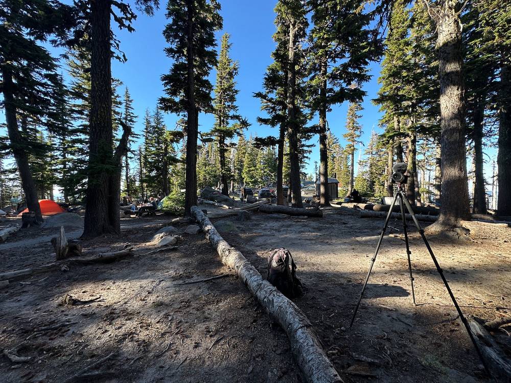
The night before. I parked at sunset and hiked in just enough to set up my tent to sleep. Once I felt like I was safe and quiet, out of the way, I set up my tent for the night. It's a lot cheaper than a hotel, and it meant I could start very early the next day. "Hiked in to camp for the night. Starting the Timberline Trail tomorrow," I posted. That walk was 1.1 miles from the parking lot, up past the lodge and west on the trail, from 8:41 to 9:35 p.m.
| Item | What I paid in 2023 |
|---|---|
| Flight, Vancouver to Portland (Air Canada, one way) | CA$374.04 |
| Wilderness permit | Free |
| Parking at Timberline Lodge | Free in summer |
| Night before Day 1 | Nothing: my tent beside the trail |
| Cloud Cap Saddle Campground | Not in my records |
| Rental car, food and fuel from REI | Not in my records |
For your budget (2026). The permit and summer parking at the lodge are free. Cloud Cap Saddle Campground is $20 a night, cash or check. Other trailheads on the loop need a Northwest Forest Pass ($5 a day or $30 a year) or an Interagency pass ($80 a year for US residents, $250 for nonresidents from 2026). The Mt Hood Express bus is $2 each way.
| Night | Where | Height (my GPS) |
|---|---|---|
| Before Day 1 | My tent beside the trail, 1.1 miles west of the lodge | about 5,910 ft (1,803 m) |
| 1 | Cloud Cap Saddle Campground (Day 1 mile 26.9) | about 5,850 ft (1,784 m) |
Cloud Cap Saddle Campground (2026): first come, first served, no reservations; $20 a night, $10 per extra vehicle, cash or check. Vault toilets, no drinking water. The road up, Forest Road 3512, is narrow and winding and may need high clearance or four-wheel drive. It was full when I got there. Whether I paid for a site isn't in my records.
Wild camps. There's no designated-site system on the trail. Camp off meadows, at least 100 feet from water, and away from the banned spots above.
I bought food and fuel at REI in Portland on the way from the airport. What I carried isn't in my records. There's nothing to buy on the trail; Timberline Lodge is the only place, at the start and finish. The lodge's restaurants are open to the public (2026): the Cascade Dining Room for brunch and dinner, the Ram's Head Bar from 11 a.m., and the Wy'East Store in the Day Lodge.
There's water almost every other mile, but much of it is glacial: gray with silt, which clogs filters fast. Clear side creeks are better for filling up. Treat or filter everything. There's no drinking water at Cloud Cap. The long, open, hot stretches are the high east side on Day 2 and the climb from the White River to the lodge; carry enough for those. I was a little dehydrated at the end.
Use the lodge before you start. On the trail, bury waste 6 inches deep, at least 100 feet from water, camps and trails, and pack out your toilet paper.
My records don't list my kit for this trip, so this is only what they show:
What this loop needs:
This really is day one of the hike: a full day, almost 28 miles, over 12 hours. I had nothing to do but walk. It was a good full day of hiking, hot at high noon but zero bugs. There were plenty of PCT hikers during the first section, which was nice to see, and a few dogs with hikers. I stayed hydrated and crushed some good miles.
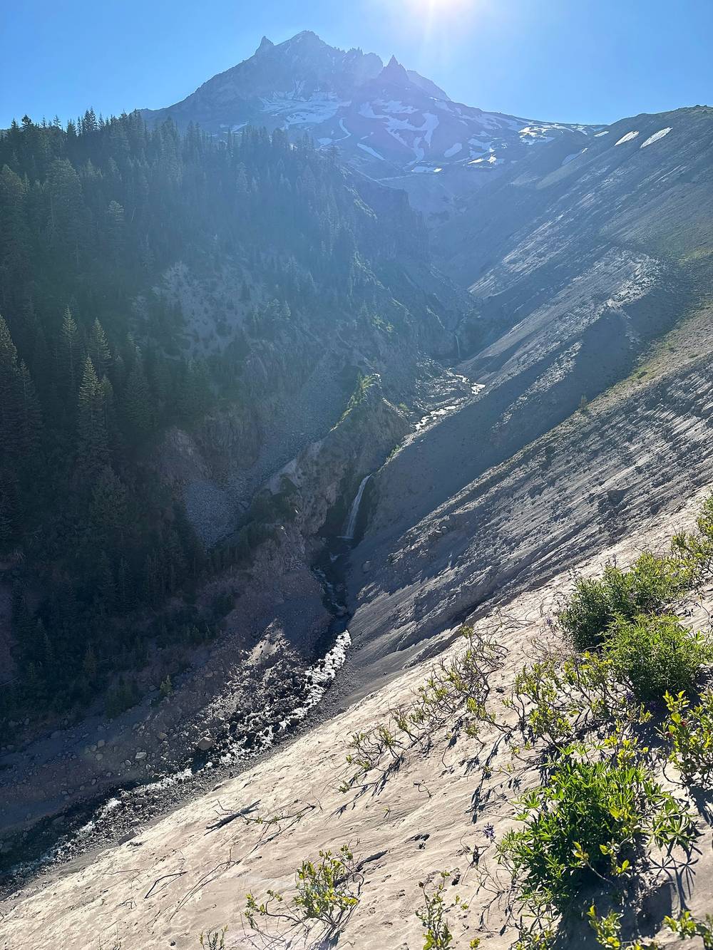
The section had a few burn scars from old wildfires, but wherever that happens there's such vibrant growth. The stream crossings were almost every other mile.
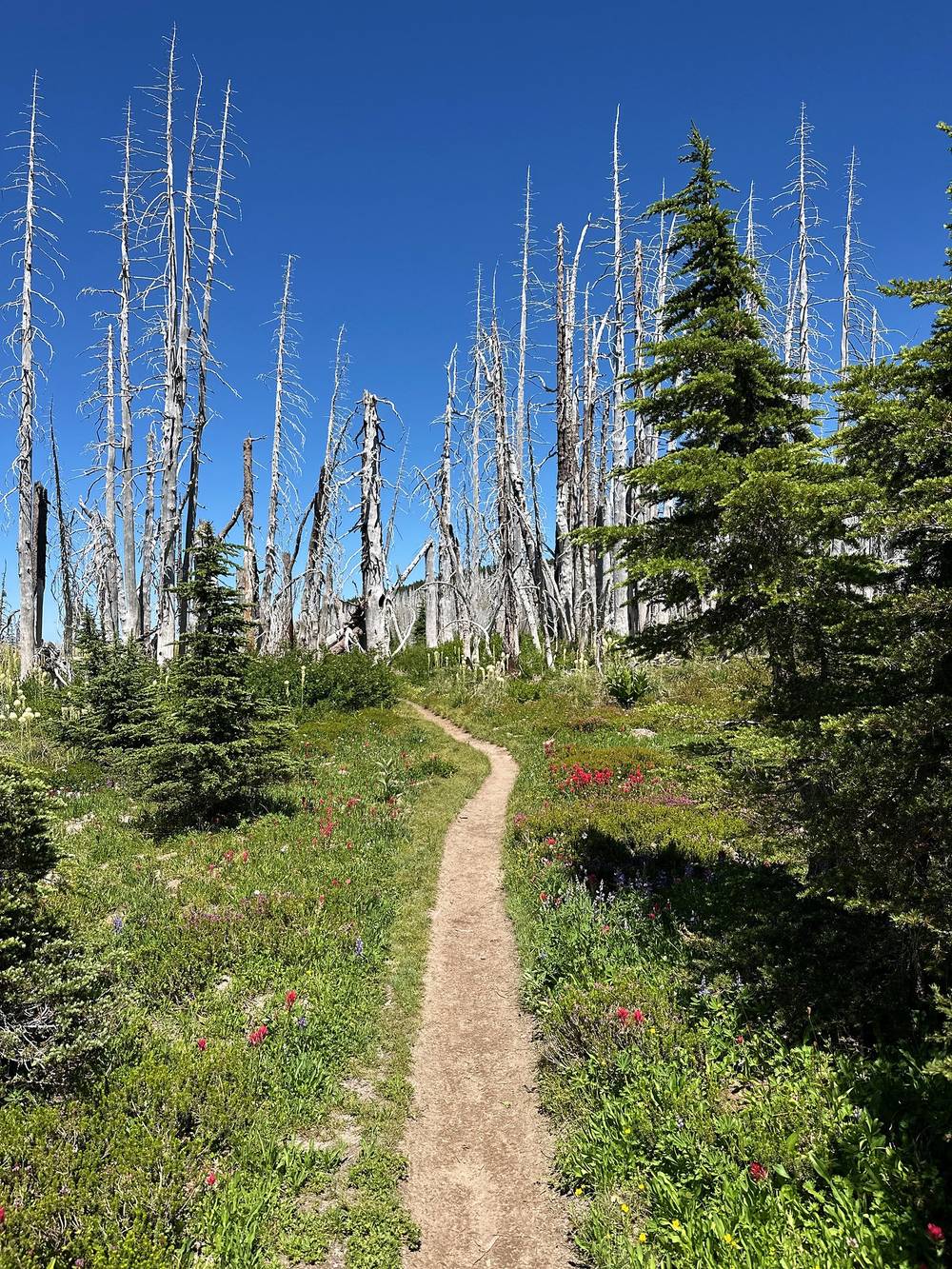
Compared to most hikes, this is a sandy trail. It's very dirty. You kind of hike and skirt the edge of the tree line, and it gets a little dusty.
I ended the day at Cloud Cap, which was pretty full. There were a lot of other people.
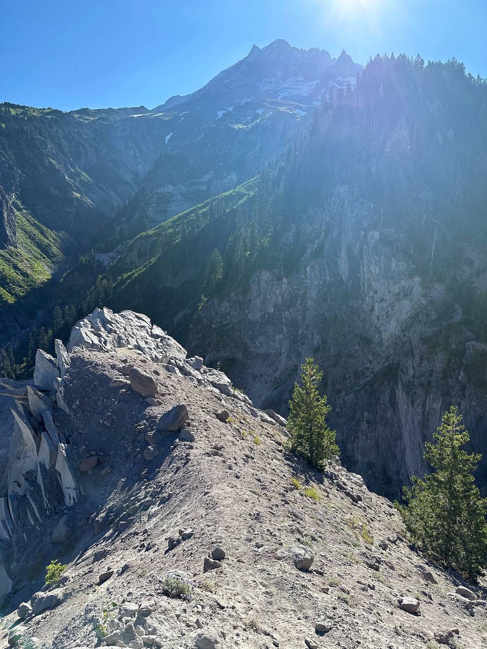
Zigzag Canyon. From my camp the trail runs west across Sand Canyon and the Little Zigzag, past the Zigzag Canyon rim viewpoint (mile 2.5), then switchbacks down to the Zigzag River (mile 3.5, about 4,790 ft) and back up the other side. This part is the Timberline Trail and the PCT together.
Below Paradise Park. Past Zigzag Canyon the Paradise Park Loop Trail #757 climbs into Paradise Park above the main trail and rejoins it farther on. I stayed on the main trail, the PCT, across Lady Creek, Lost Creek and Rushing Water Creek (mile 5.7). No campfires in Paradise Park.
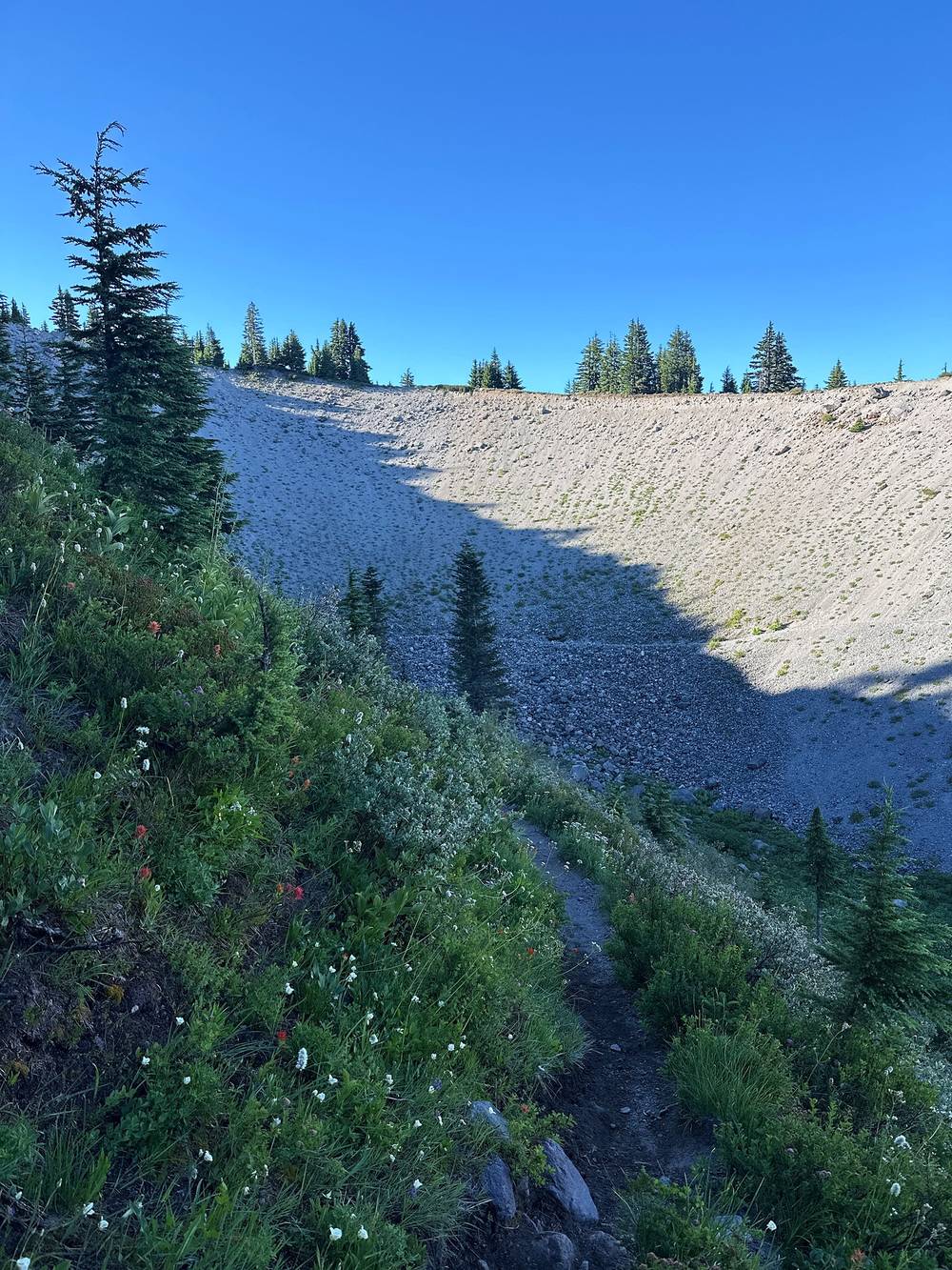
Down to the Sandy River. The trail drops about 2,200 ft along the ridge above the Sandy River canyon to the ford at mile 9.3 (about 3,380 ft). No bridge. Just past it, at mile 9.6, is the lowest point of the loop.
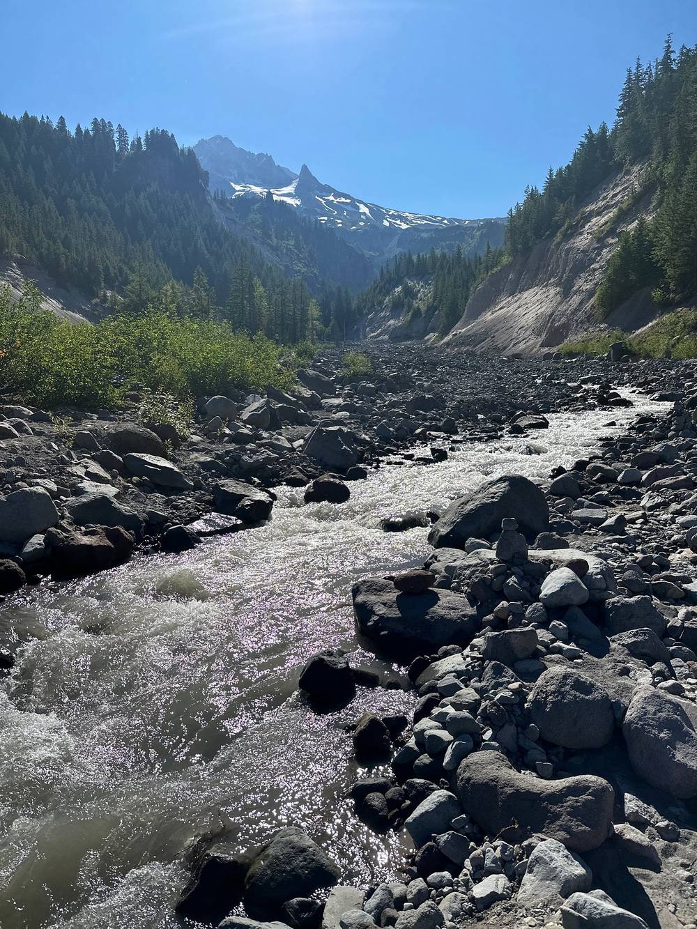
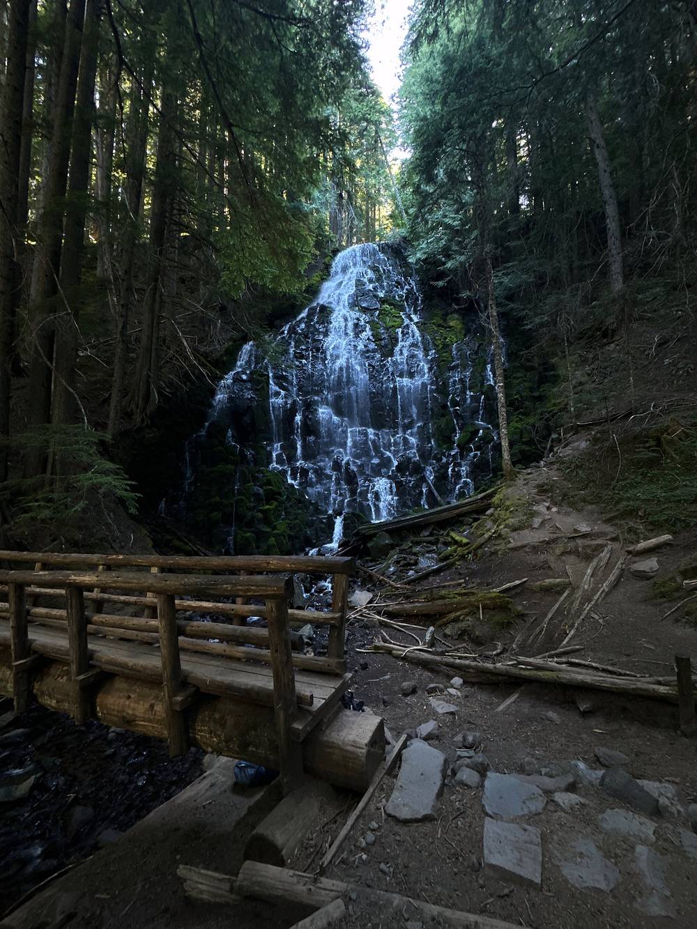
Ramona Falls. The Timberline Trail #600 leaves the PCT after the ford and climbs a little to Ramona Falls (mile 10.2, about 3,470 ft), a wide cascade over columns of rock with a footbridge in front. I stopped there for half an hour. No camping or campfires within 500 feet of the falls.
Ramona Falls to the Muddy Fork. From the falls I took the Timberline Trail north and east, through big old trees and blowdown, to the Muddy Fork (mile 13.3, about 4,150 ft), where you ford several branches. The Forest Service's Timberline Trail page (2026) warns of "a substantial wash-out on the trail about 2 miles north of Ramona Falls" and "significant blowdown between Muddy Fork and Yocum Ridge," and suggests bypassing this section on the PCT from Ramona Falls to Top Spur. See Other ways to do it.
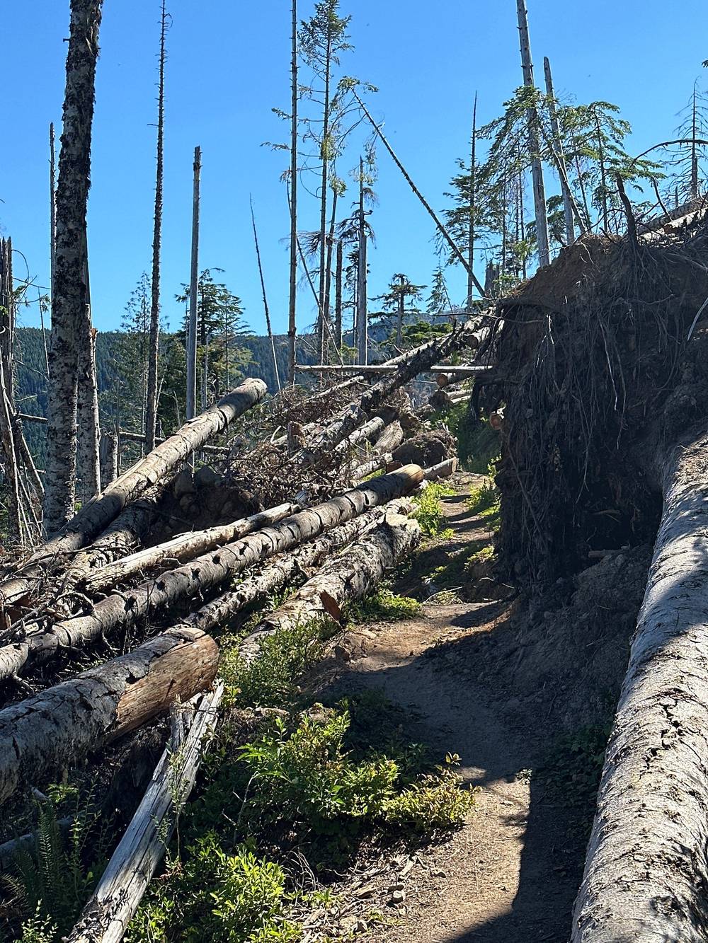
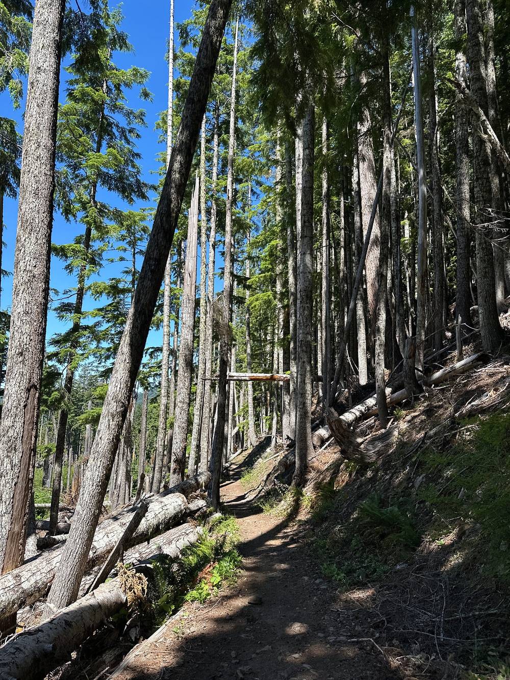
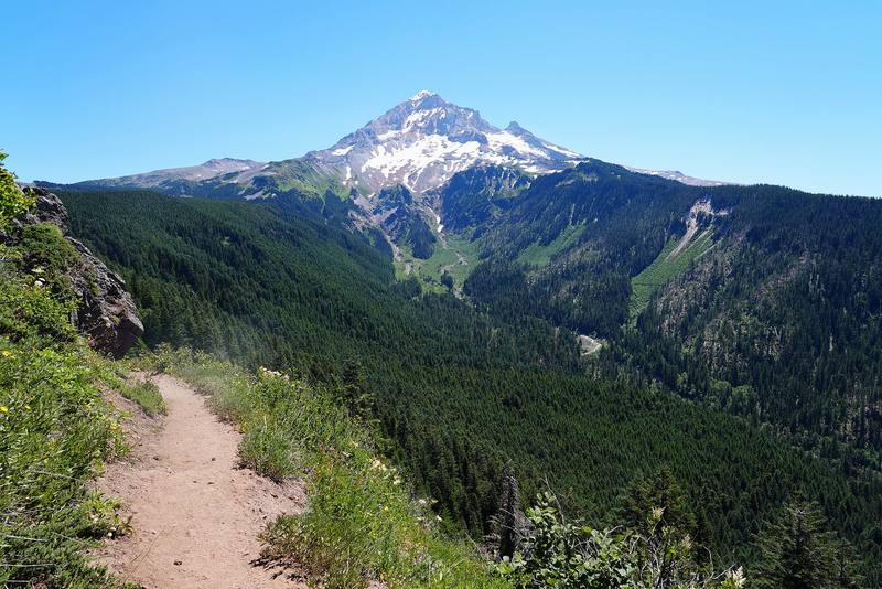
Bald Mountain to Cairn Basin. The trail climbs through forest past Bald Mountain (around mile 15.5), where it meets the PCT and the Top Spur trail again and opens up to the big view of Mount Hood. Then it's a long climb east up the north side, across McGee Creek and Glisan Creek, to the stone shelter at Cairn Basin (mile 19.2, about 5,660 ft) and Ladd Creek.
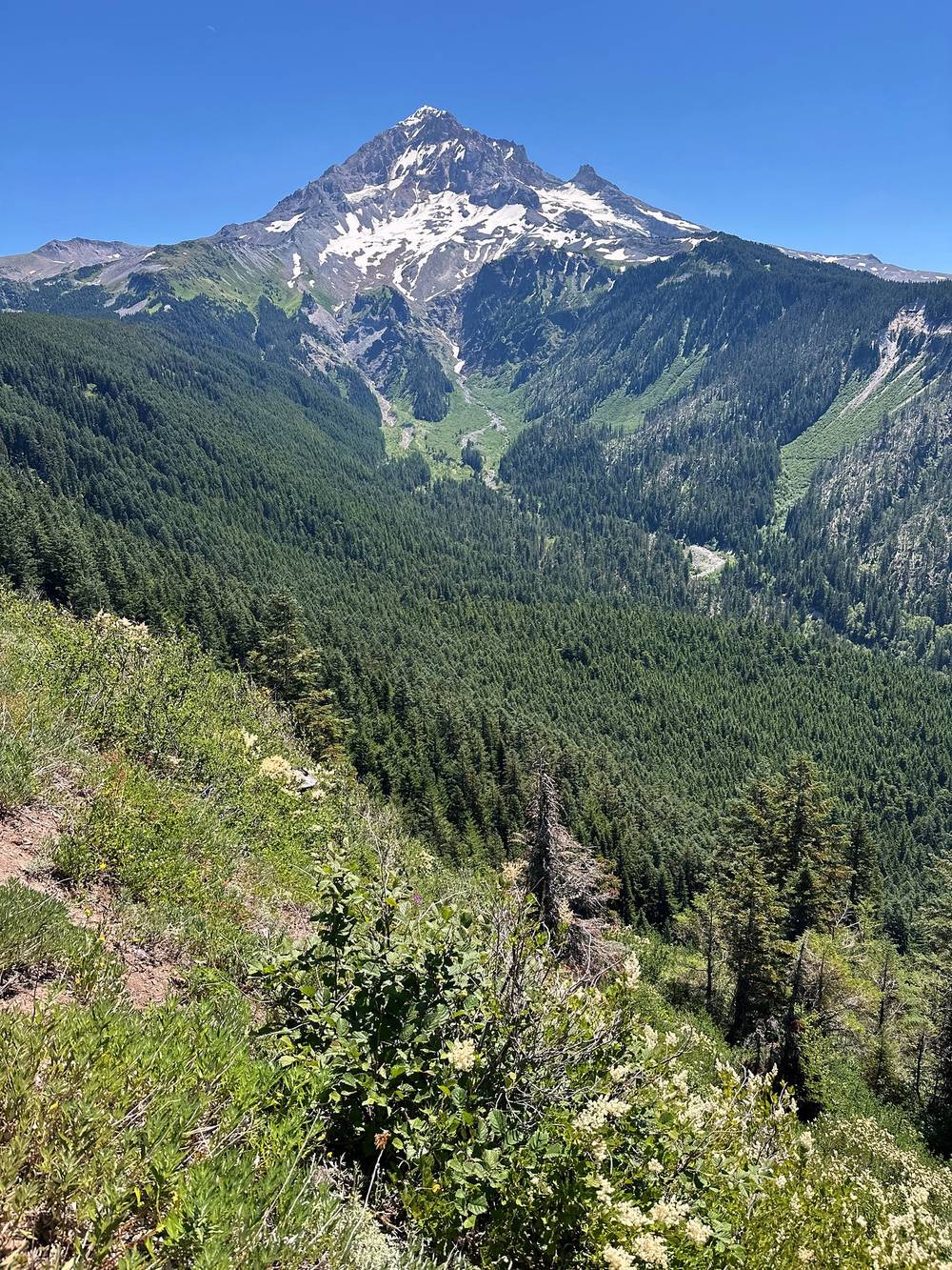
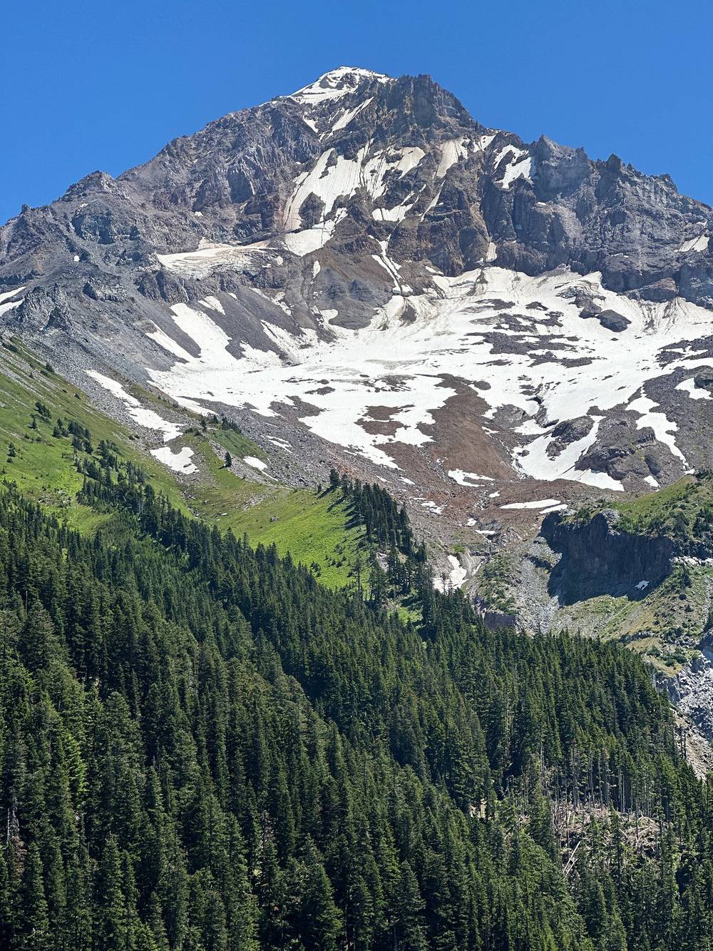
Elk Cove and the Coe Branch. Past Eden Park and the old burn (the 2011 Dollar Lake Fire), the trail crosses meadows to Elk Cove (mile 21.5, about 5,460 ft). No camping or fires in the tree island there. Then it drops to the Coe Branch (mile 22.4), a fast, muddy glacial stream, with a log across it when I was there.
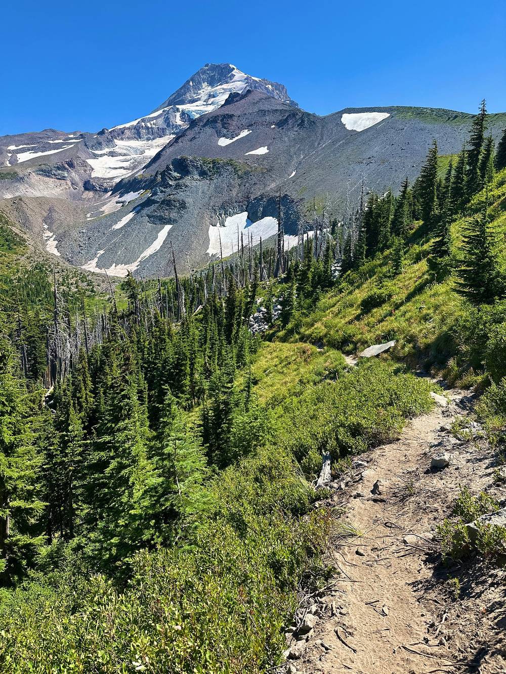
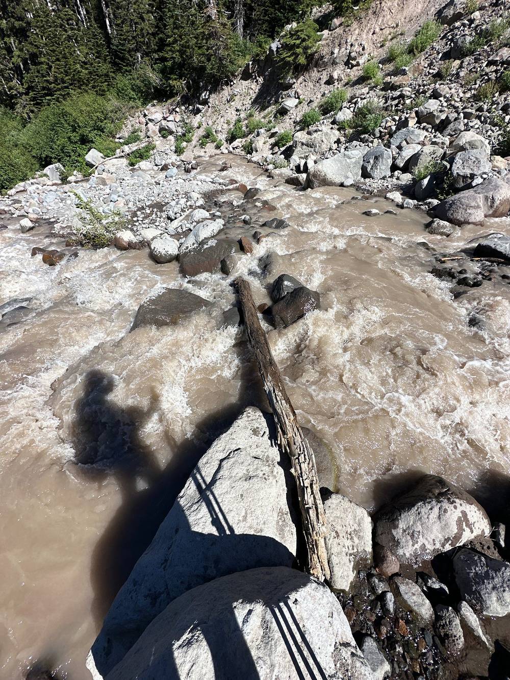
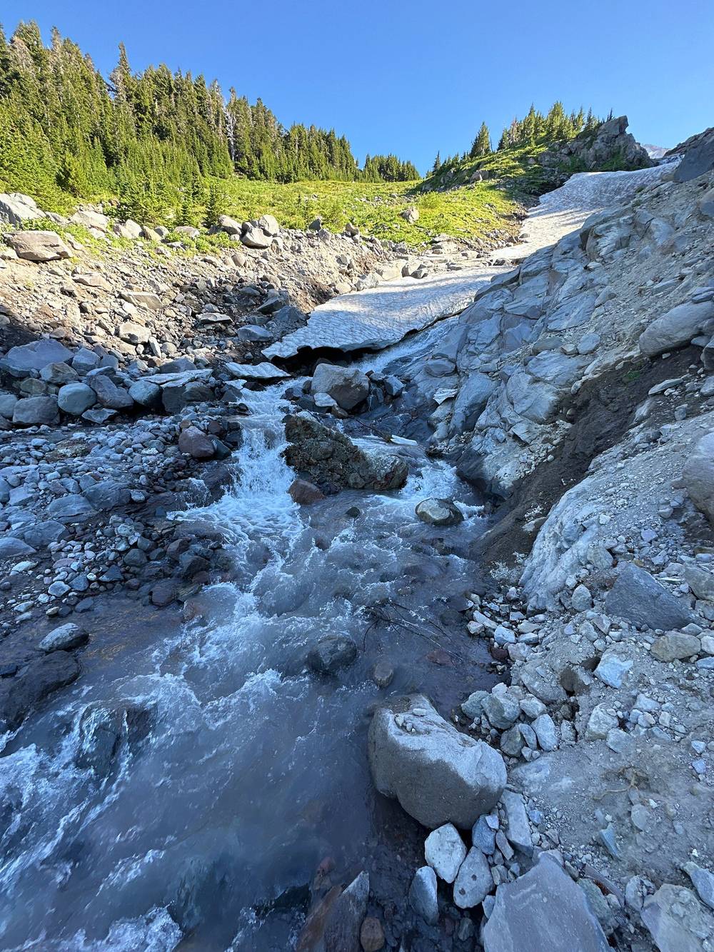
To the Eliot Branch and Cloud Cap. The trail climbs across Compass Creek and more glacial streams, with snow still lying in the gullies in late July, then drops into the Eliot Branch canyon (mile 26.2). After the ford it climbs to Cloud Cap Saddle Campground at mile 26.9, at the end of the Cloud Cap road.
The trail crosses other trails to trailheads all day. Near the start, Timberline Lodge is behind you. On the west side the PCT and the Ramona Falls Trail #797 lead down to the Ramona Falls trailhead (a rough road; high clearance recommended), and the Top Spur Trail #785 leaves near Bald Mountain for the Top Spur trailhead. On the north side, the Cairn Basin and Elk Cove areas have trails down to the Vista Ridge and Elk Cove trailheads. At the end of the day, Cloud Cap is on a road. All of these are long drives from Timberline Lodge.
Film, from Timberline Lodge · Film, Day 1 · How I did it (behind the scenes)
I camped at a full Cloud Cap. I started the cooler morning off with the big pass and listened to an audiobook for a few miles. There were lots of water crossings and, again, it was very hot at noon.
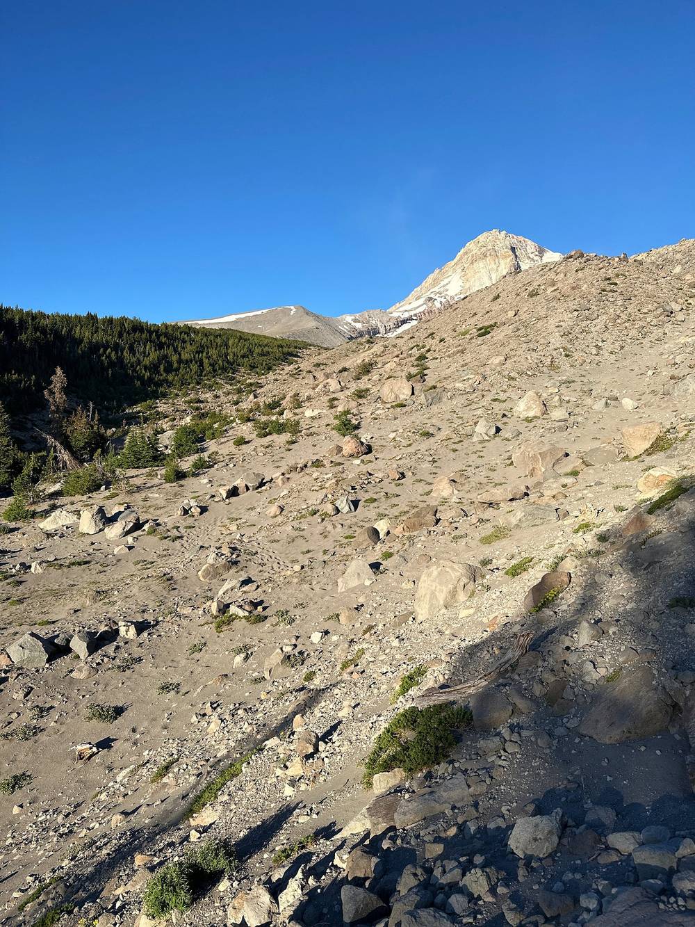
"One sandy dirty trail. Like walking on the beach," I posted from the east side that morning.
This final day was under seven hours, so technically a half day. I did almost 15 miles back to the car (13.3 on my GPS). It was pretty hot at the end, and I was a little dehydrated, and because I had the finish line coming up I just pushed it. I was definitely a bit tired when I got to the car. The last mile uphill to the lodge almost gave me heatstroke: I had to rest in my rental car with the air conditioning on, and I think I passed out for a moment. Happy at my pace, though.
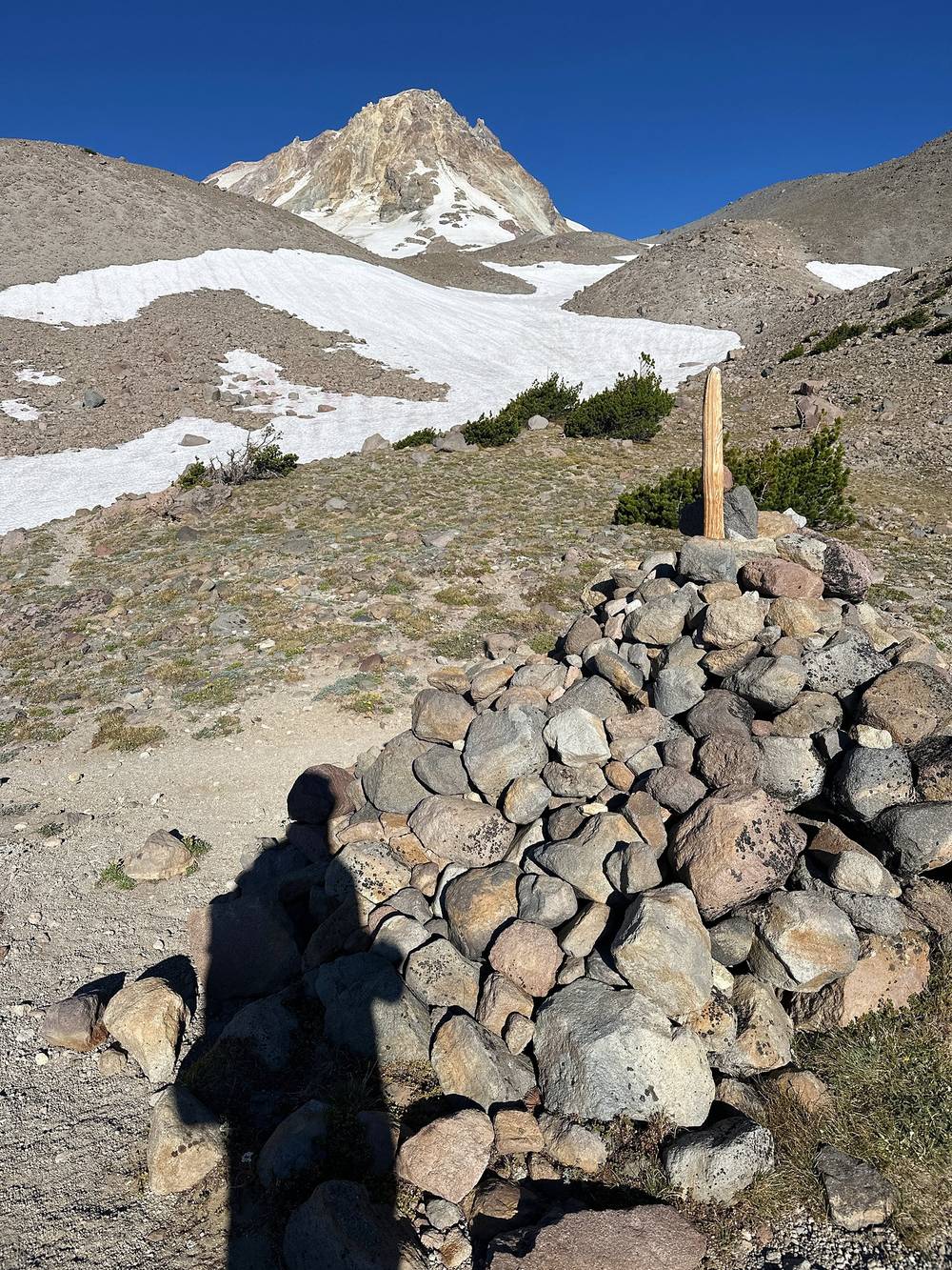
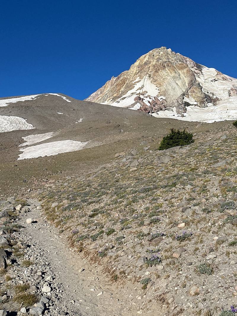
Up to the high point. From the campground the Timberline Trail climbs south, past the Cooper Spur trail junction, across open sand and scree above the tree line, to the high point of the whole loop at mile 2.5: 7,306 ft (2,227 m) on my GPS, on the open slope above Gnarl Ridge. This is where snow lasts longest; early in the season it can cover the trail. There's no shade.
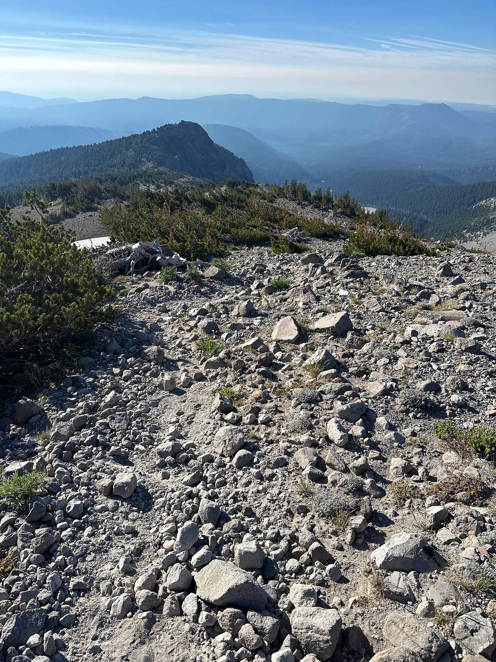
Gnarl Ridge and Newton Creek. The trail drops along Gnarl Ridge past the remains of an old stone shelter (mile 3.8), down to the Gnarl Ridge Trail #652 (mile 5.2), then west into the canyon of Newton Creek, a glacial ford (mile 6.0, about 5,410 ft).
Clark Creek to Mt. Hood Meadows. Across Clark Creek (mile 7.4), Heather Creek and the West Fork of Clark Creek, the trail runs through the Mt. Hood Meadows ski area, past the Umbrella Falls Trail #667 junction (mile 9.7) and across Mitchell Creek.
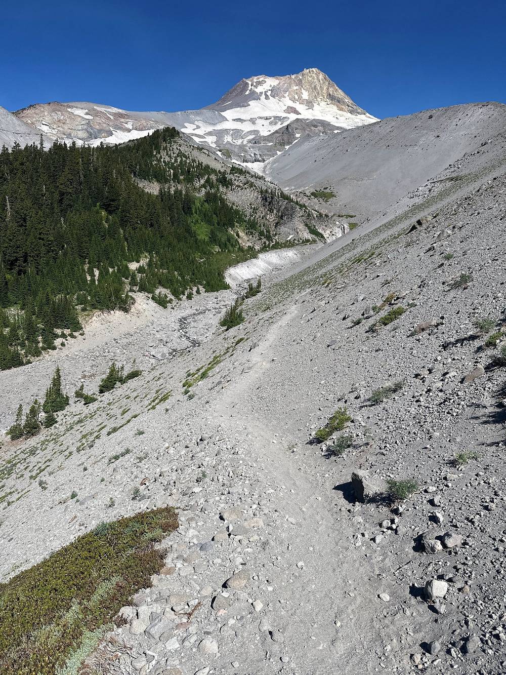
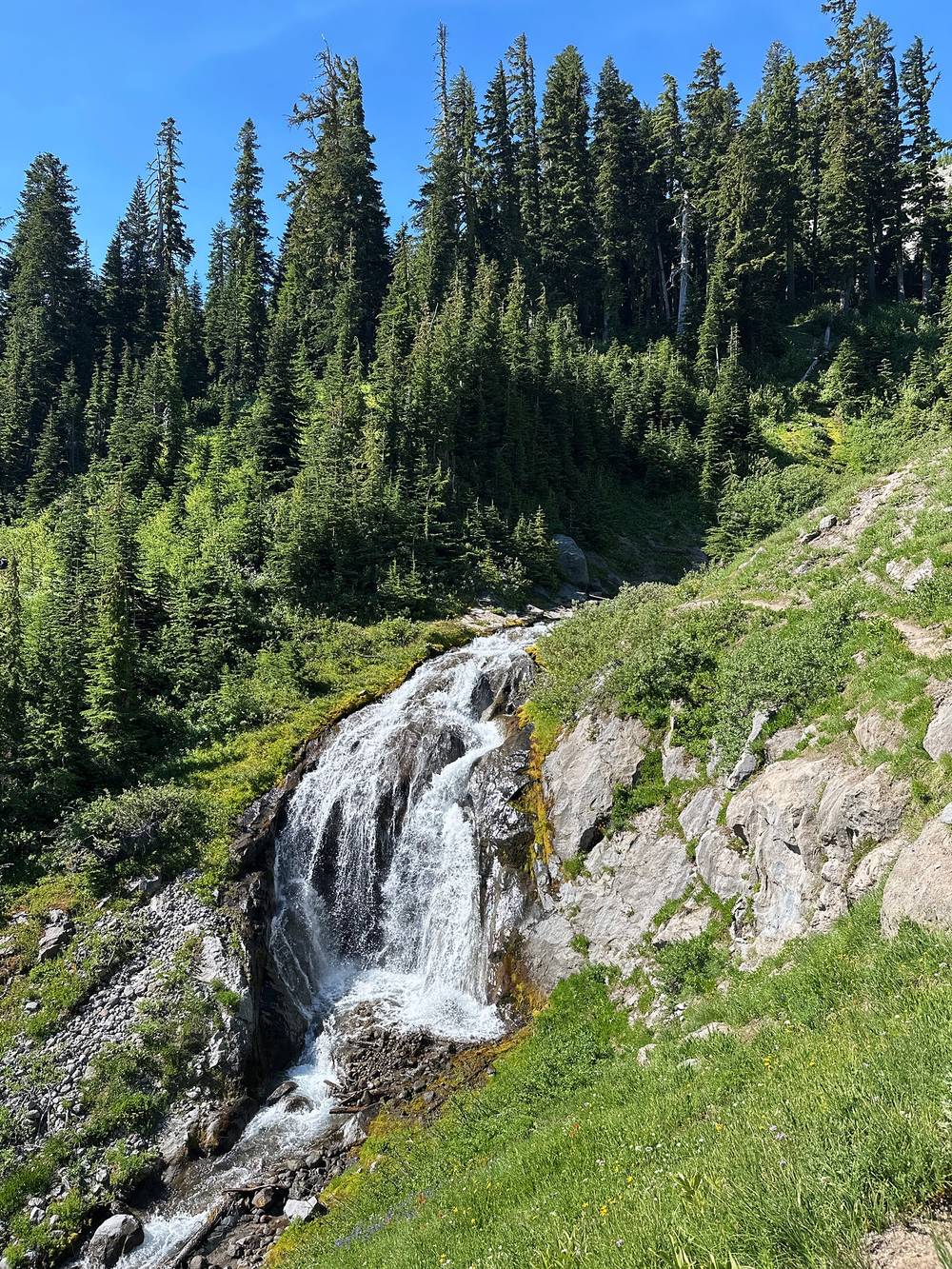
The White River. The trail drops to the White River (mile 11.3, about 4,920 ft), a wide, sandy glacial river in a canyon of gray rubble. Then it's the last climb: about 1,000 ft up the PCT, across the Salmon River's headwaters, back to Timberline Lodge at mile 13.3. It's open and sandy, and it's hot by midday.
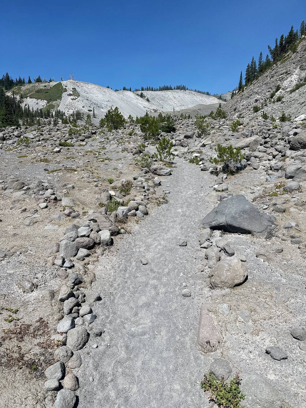
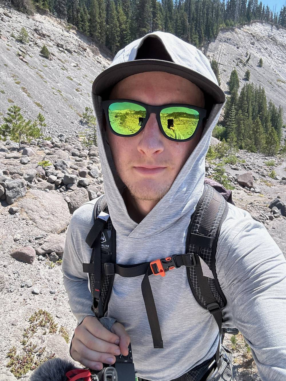
Cloud Cap and Cooper Spur are on the Cloud Cap road. Mt. Hood Meadows, at mile 9.7, is a ski area with roads to Highway 35. Otherwise keep going: the lodge is 3.6 miles past the Meadows.
Fire closures. In 2026 the Grasshopper Fire closure (order 06-06-01-26-18, to December 31, 2026) covers land east of Highway 35, not the Timberline Trail or the side trails here. The Timberline Trail reopened on September 4, 2026. Check the alerts.
Film, Day 2 · How I did it (behind the scenes)
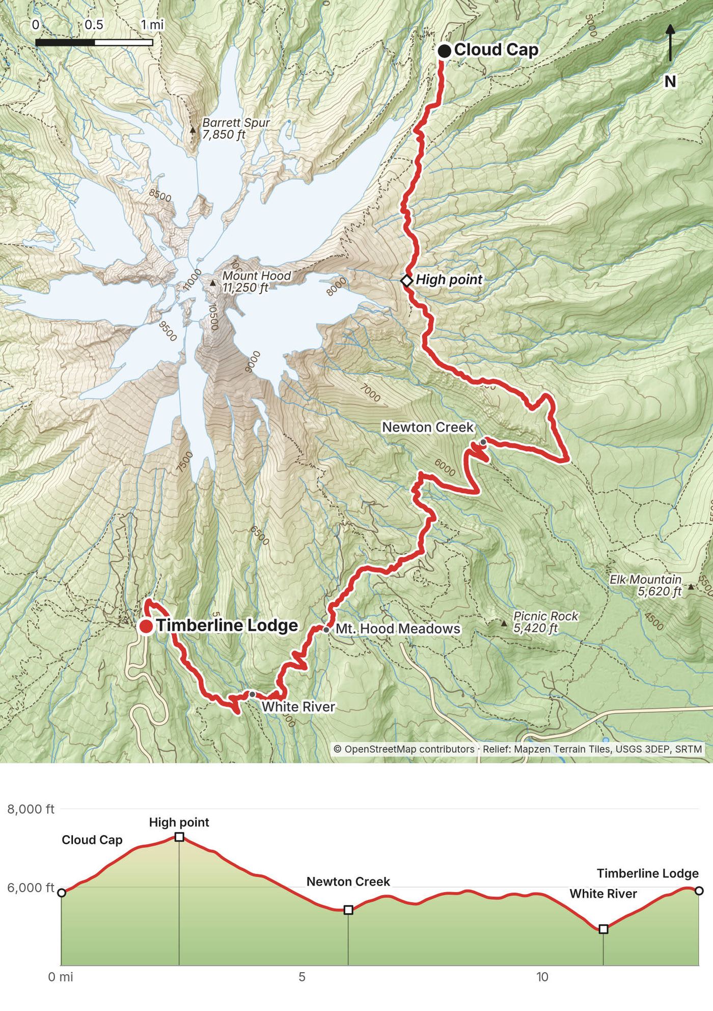
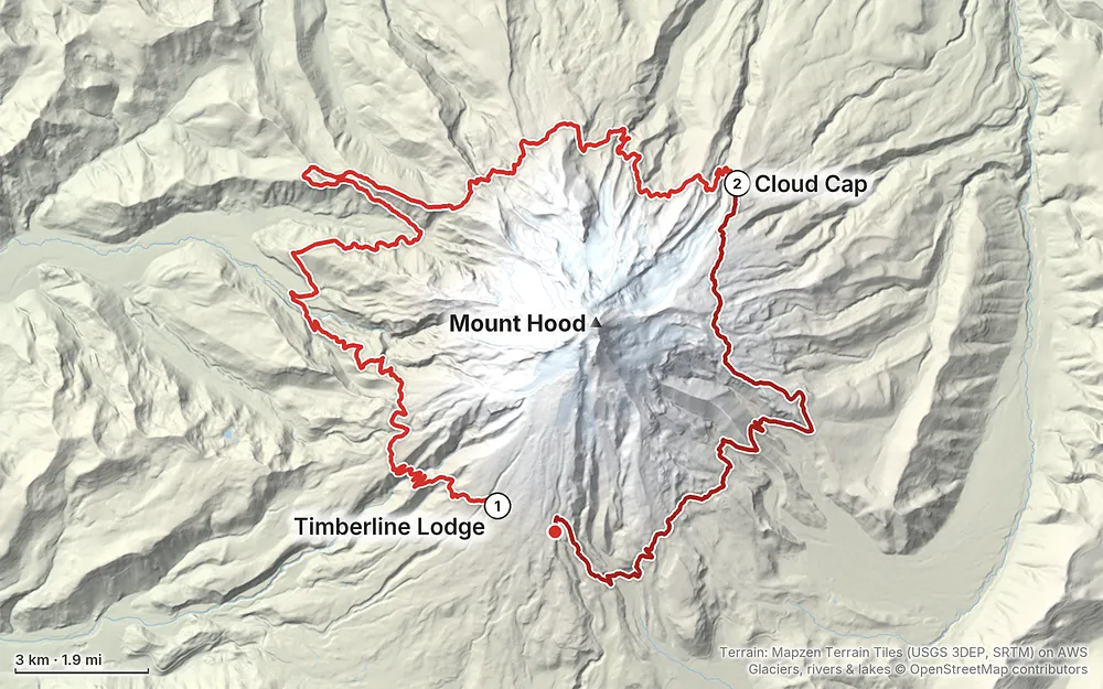
Terrain: Mapzen Terrain Tiles (USGS 3DEP, SRTM) on AWS · Glaciers, rivers & lakes © OpenStreetMap contributors
Tap a map to open it full size.
All of this was checked on the Forest Service's own pages on October 1, 2026.
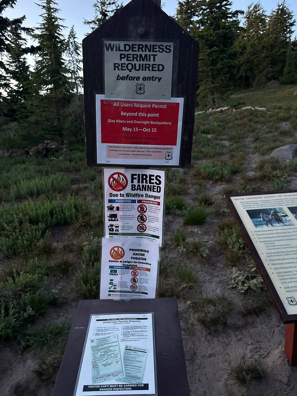
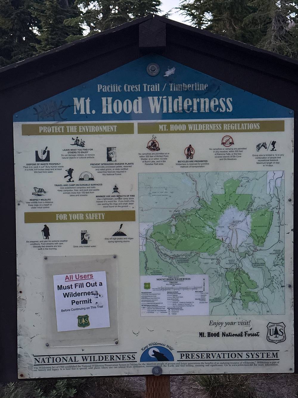
Wilderness permit. Free and self-issued. The Forest Service says it's required from May 15 to October 15 "when provided at a portal": fill one out at the trailhead box and carry your copy. In July 2023 the sign on the trail a mile west of the lodge said "All users require permit beyond this point (Day hikers and Overnight Backpackers) May 15 - Oct 15," with a $100 fine for not having one. A 2025 report says some boxes have been empty or gone; if there's a box, fill one out. There's no quota, reservation or limited-entry permit for the Mount Hood Wilderness (2026), and none announced for 2027. The limited-entry permits in Oregon are for the Central Cascades, not Mount Hood.
Climbing permit. Only above 9,500 ft. The trail tops out near 7,300 ft, so you don't need one.
Camping. No camping in any meadow, in the tree islands of Elk Cove and Elk Meadows, or within 500 feet of Ramona Falls. Camp at least 100 feet from streams, rivers and lakes. Stay at most 14 days in one spot and 28 days a year. There are no designated sites on the trail itself; Cloud Cap Saddle Campground is a small campground on a road.
Fires. Banned all year in Paradise Park, within 500 feet of Ramona Falls and McNeil Point, and in the tree islands at Elk Cove and Elk Meadows. In summer the forest usually bans campfires everywhere (July 1 to September 23 in 2026). Carry a stove.
Other rules. No bikes, carts, motors or drones in the wilderness. Bury waste 6 inches deep, at least 100 feet from water, and pack out toilet paper. The Forest Service's usual wilderness group limit is 12, people and animals together (I couldn't find it on a Mount Hood page, so check).
The season. The Forest Service gives July to October. Snow lingers into July on the high east side, past Cooper Spur, and on the snow bridges over Clark Creek. 2026 was a low-snow year: in mid-June the trail looked like late July.
What I got. July 21 to 23, 2023: clear and hot. On Day 1 it was hot at high noon but there were zero bugs. Day 2 was very hot at noon again. The trail skirts the edge of the tree line, so a lot of it is in the open sun.
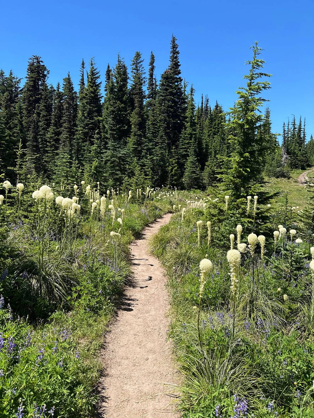
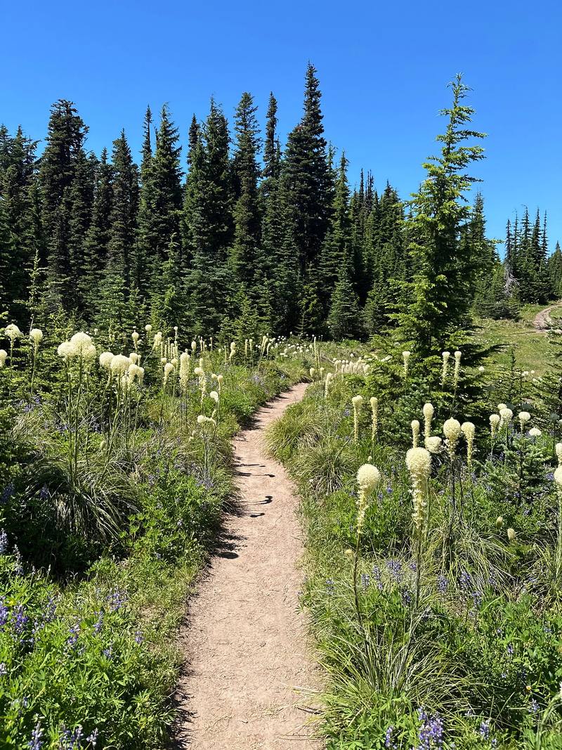
Wildflowers. Late July was full of them: beargrass, lupine and paintbrush, and plenty in the old burns.
Rivers. Glacial rivers run highest on hot afternoons, when the snow and ice above them are melting. The Forest Service advises crossing in the morning, when flows are lower. Early summer, with more snowmelt, can mean higher water.
Smoke and fire. Late summer is fire season on Mount Hood. In 2026 the lightning-caused Grasshopper Fire, east of Highway 35, burned about 94,000 acres from July 23. It closed part of the east side of the Timberline Trail in August; the Forest Service reopened the trail on September 4, 2026, and from what was reported it did not burn. A forest-wide campfire ban ran from July 1 to September 23, 2026. Check the forest's alerts and the air quality before you go.
These are the part of the Timberline Trail people worry about, and the part the Forest Service warns about most: "Most hikers find the fast moving river crossings to be the most challenging part of the trail. Newton, Coe, Muddy Fork, Sandy and White Rivers are typically the most challenging fords but are typically not more than knee deep."
For me the stream crossings were pretty intense on this hike, and that made it fun, to be honest. There were one or two where you just had to go through the water: no way to jump on the rocks or make a bridge.
| Crossing (clockwise) | My mile | What it is |
|---|---|---|
| Zigzag River | Day 1, 3.5 | Bottom of Zigzag Canyon. An easy crossing on rocks in June 2026 |
| Sandy River | Day 1, 9.3 | No bridge, and none planned. Calf-deep in June 2026. The low point of the loop |
| Muddy Fork | Day 1, 13.3 | Several branches; the north one needed wading in June 2026 |
| Coe Branch | Day 1, 22.4 | Glacial, muddy, fast. A log lay across it in 2023 |
| Eliot Branch | Day 1, 26.2 | Glacial, in a deep canyon; rerouted in 2016. See below |
| Newton Creek | Day 2, 6.0 | Glacial; low flow in June 2026 |
| Clark Creek | Day 2, 7.4 | Snow bridges early in the season can collapse |
| White River | Day 2, 11.3 | Wide, sandy and braided; the banks are eroding |
The 2026 notes are from trip reports, not the Forest Service; water changes by the day.
The Eliot Branch. A debris flow in 2006 washed out the Timberline Trail's crossing of the Eliot Branch, and for about ten years the loop was officially broken there. The Forest Service built a new 1.5-mile section across the Eliot Branch (decision signed January 2016) and the full loop reopened in fall 2016. It crosses lower down the canyon. There's still no bridge: it's a ford. When I crossed, about 6 p.m. at the end of my long day, it was a fast gray torrent between boulders. In late July 2026 hikers found it easy, with three ropes still in place. It's open in 2026, with no closure.
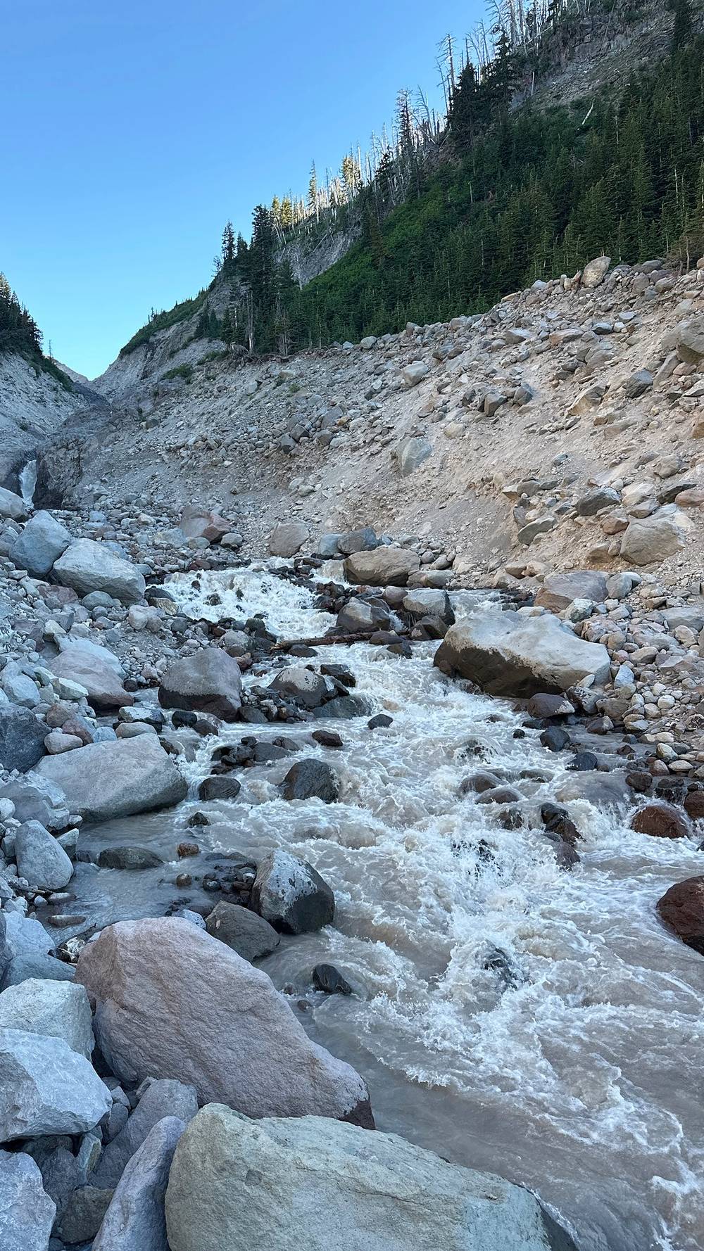
How to cross. The Forest Service advises crossing in the morning, when glacial rivers are lower than in the afternoon. Look up and down for the widest, shallowest place; unbuckle your hip belt; face upstream with poles; and if it looks too fast or deep, wait or turn back.
Emergencies. Call 911. Don't count on cell service on the loop. A satellite messenger is the real backup. Search and rescue on the west and south sides of the mountain is run by the Clackamas County Sheriff; on the north and east sides by the Hood River County Sheriff, with the Hood River Crag Rats.
River crossings. The biggest risk on this trail. Cross early in the day, unbuckle your pack, use poles, and turn back or wait if the water is too fast or deep. See The river crossings.
Heat. It was very hot at noon both days, and I came close to heatstroke on the last climb to the lodge. Much of the trail is open and sandy. Start early, carry more water than you think, and rest in the shade.
Snow. Snow lasts into July on the high east side between Cloud Cap and Gnarl Ridge, and snow bridges over creeks like Clark Creek can collapse. Early in the season, carry traction and know how to use it.
Thunderstorms. The high east side is exposed. If a storm builds, get off the ridges.
Fire and smoke. Check the Forest Service alerts for closures and the air quality before you go. Fires closed part of the trail in 2026.
Bears and cougars. Both live here, and attacks are rare. Oregon's wildlife department advises making noise and keeping dogs leashed with bears, and with a cougar standing your ground, making yourself look large, and fighting back if attacked. No canister rule on Mount Hood (2026), but store your food well.
Leave a plan with someone at home: your start, your route, your camps and when you'll be out.
How many days do I need? I did it in a day and a half: a short walk-in the evening I arrived, a full day of almost 28 miles to Cloud Cap, and a morning of almost 15 miles back to the car. You could definitely take more days than I did and not completely speed run it. The Forest Service says most trips take 3 to 4 days. See Other ways to do it.
How hard is it? The trail itself is good, but it's sandy and dusty, it drops in and out of deep canyons, and the river crossings were pretty intense. Day 2 starts with the big climb to the high point of the loop, about 7,300 ft. The hardest part for most people is the fords.
Are there bridges over the rivers? Not over the big glacial ones. There's no bridge over the Sandy River, and the Forest Service says none will be installed. The Eliot Branch, the Coe Branch, the Muddy Fork, Newton Creek and the White River are fords too. There were one or two where you just had to go through the water: no way to jump on the rocks. See The river crossings.
Do I need a permit? A free one you fill out yourself at the trailhead box, between May 15 and October 15. There's no quota or reservation (2026). See Permits and rules.
Where do I park? At Timberline Lodge. Summer parking is free; from November 1 to April 30 you need an Oregon Sno-Park permit.
Is there water? Lots: stream crossings almost every other mile, as I put it at the time. Many are glacial and silty. There's no drinking water at Cloud Cap Saddle Campground. Treat everything. See Where I slept, food and water.
Can I have a campfire? Bring a stove. Fires are banned all year in Paradise Park, within 500 feet of Ramona Falls and McNeil Point, and in the tree islands at Elk Cove and Elk Meadows, and in summer a forest-wide ban usually covers everything else. In July 2023 the sign on the trail above the lodge said "Fires banned due to wildfire danger."
Will I see other people? Plenty. Part of the loop is the Pacific Crest Trail, and I probably saw two or three dozen PCT hikers that first morning. Cloud Cap was full when I got there.
Which way should I go? I went clockwise from Timberline Lodge. That puts the Sandy River early on Day 1, the Eliot Branch at the end of a long day, and the big climb first thing on Day 2, when it's cool.
I did a day and a half. The Forest Service says most people take 3 to 4 days, and that's the better way to see it. Remember the rules when you pick camps: not in meadows, not in the tree islands of Elk Cove or Elk Meadows, not within 500 feet of Ramona Falls, and at least 100 feet from water. To plan your own days, here are the miles between the main places, clockwise from the lodge, on my GPS:
| Stretch | Miles (my GPS) |
|---|---|
| Timberline Lodge to the Sandy River | 9.3 |
| Sandy River to Ramona Falls | 0.9 |
| Ramona Falls to Cairn Basin | 9.0 |
| Cairn Basin to Elk Cove | 2.3 |
| Elk Cove to Cloud Cap | 5.4 |
| Cloud Cap to Mt. Hood Meadows | 9.7 |
| Mt. Hood Meadows to Timberline Lodge | 3.6 |
The Forest Service suggests the PCT from Ramona Falls to Top Spur instead of the Timberline Trail past the Muddy Fork, because of a washout about 2 miles north of the falls and blowdown up toward Yocum Ridge. I walked the Timberline Trail in 2023. Check the Forest Service's Timberline Trail page for the current state.
There are a bunch of entry and exit points. Cloud Cap, Ramona Falls and Top Spur are trailheads on the loop's roads. Unlike Timberline Lodge in summer, they need a Northwest Forest Pass ($5 a day or $30 a year in 2026) or an Interagency pass; without a pass, day use at Cloud Cap is $10 a vehicle. Their roads are rough.
Most of the loop is the same either way. Counterclockwise from the lodge you'd cross the White River first, climb to the high point from the south, and reach the Eliot Branch early on your second day.
These change every year. Everything else in this guide stays the same.
Rules and closures
Getting there
Conditions
Your stuff
The film is at the top of this page.
Planning questions about Timberline Trail, answered only from this page's facts, the creators' versions and hikers' public tracks, with where each answer comes from. When the data doesn't say, the answer says "not given".
From hikers
Sign in to comment. Free; your hikes stay private unless you share them.
Something wrong or missing on this page? Send feedback.