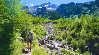
 Hiking 40 miles on the Timberline Loop in Oregon

Kraig AdamsJul 2023 · Solo
- Days
- 2 days
- Direction
- Loop from Timberline Lodge, about 6,000 ft, on the south side of the…
- Cost
- The permit and summer parking at the lodge are free
- Lodging
- Tent
North America · United States
Mount Hood, Oregon
Hikes / North America / Timberline Trail
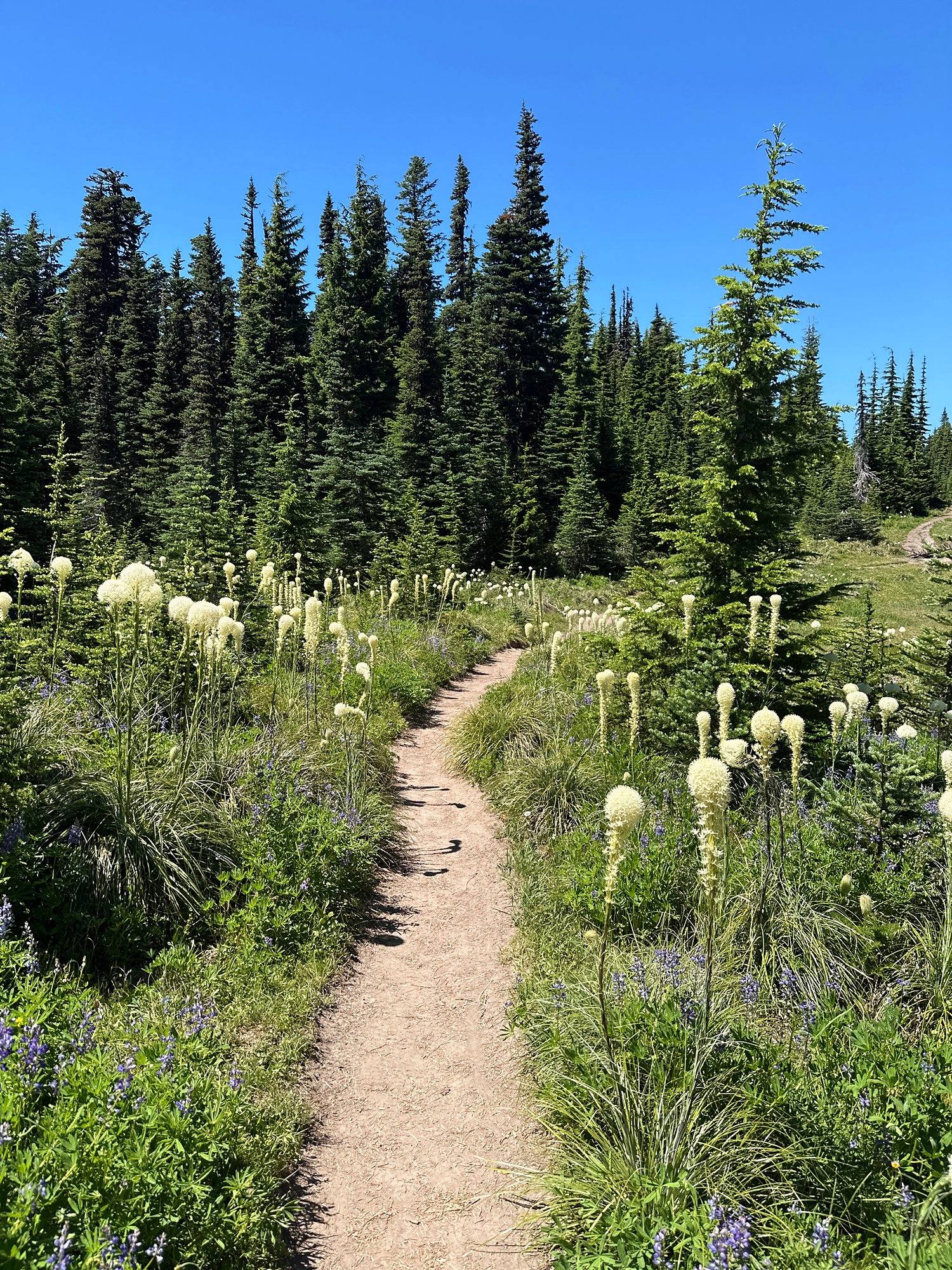
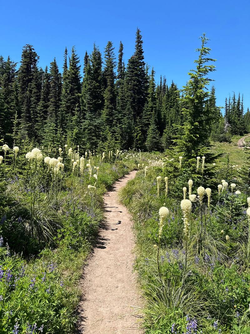
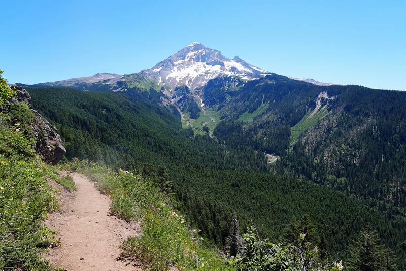
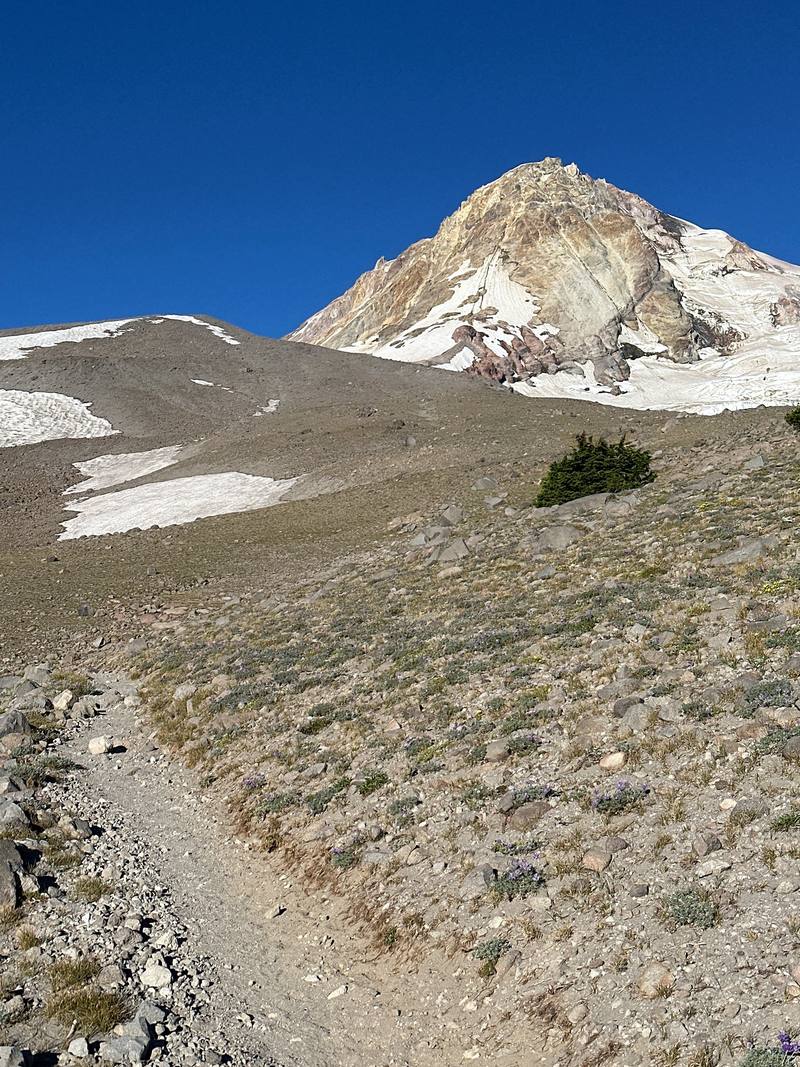
In July 2023 I hiked the Timberline Trail, the loop all the way around Mount Hood in Oregon, alone and in two days: about 40 miles clockwise from Timberline Lodge, past Zigzag Canyon, the Sandy River, Ramona Falls, Cairn Basin, Elk Cove and Cloud Cap, over the high point of the loop on the east side, through Mt. Hood Meadows and back across the White River to the lodge. It's the trip from my film Hiking 40 miles on the Timberline Loop in Oregon.
Kraig Adams
Effort at this pace: Very hard · about 20 mi (32 km) and 4,373 ft (1,333 m) of climbing a day over 2 days, up to 7,306 ft (2,227 m). Our grade for the days given, worked out from distance, climbing and altitude a day; it isn't the trail's usual difficulty rating (under Basics) and doesn't rate exposure, terrain or weather.
From Kraig Adams's GPS recording and guide.
Relief map

From Kraig Adams's GPS. Terrain: Mapzen Terrain Tiles (USGS 3DEP, SRTM) on AWS · Glaciers, rivers & lakes © OpenStreetMap contributors
Tap a day for his map of it
The film
 Hiking 40 miles on the Timberline Loop in Oregon
Before you go
From Kraig Adams's guide
From Kraig Adams's guide
From Kraig Adams's guide. For planning, not navigation: check before you go.
Their films and versions
1 creator so far: Kraig, 2 days, tent.
Hiking 40 miles on the Timberline Loop in Oregon
Walked Timberline Trail? Be the first to share your track: log it with your GPX.
Sign in and log a few hikes to see how long this one would take you.
Typical: 2 days (the hike's facts).
Planning questions about Timberline Trail, answered only from this page's facts, the creators' versions and hikers' public tracks, with where each answer comes from. When the data doesn't say, the answer says "not given".
From hikers
Sign in to comment. Free; your hikes stay private unless you share them.
Answered from the data
The Forest Service says most trips take 3 to 4 days. I did it in two in July 2023, after a short walk-in the evening before: almost 27 miles to Cloud Cap on Day 1 and 13 miles back to the lodge on Day 2.
From Kraig Adams's trip and guide.
The permit and summer parking at the lodge are free. Cloud Cap Saddle Campground is $20 a night, cash or check. Other trailheads on the loop need a Northwest Forest Pass ($5 a day or $30 a year) or an Interagency pass ($80 a year for US residents, $250 for nonresidents from 2026). The Mt Hood Express bus is $2 each way.
From Kraig Adams's trip and guide.
The Forest Service gives July to October. Snow lingers into July on the high east side. I went July 21 to 23, 2023, and it was clear and very hot. In August 2026 a wildfire closed part of the east side until September 4, so check the alerts.
From Kraig Adams's trip and guide.
A free wilderness permit you fill out yourself at the trailhead box, from May 15 to October 15. There's no quota or reservation in 2026. Summer parking at Timberline Lodge is free; from November 1 to April 30 you need an Oregon Sno-Park permit.
From Kraig Adams's trip and guide.
My loop around Mount Hood was 40.2 miles on my GPS, with about 8,750 ft of climbing, clockwise from Timberline Lodge. The Forest Service calls it an approximately 40-mile loop.
From Kraig Adams's trip and guide.
Yes. A debris flow washed out the old crossing in 2006, and the Forest Service rerouted the trail across the Eliot Branch in 2016, reopening the full loop. It's still a ford with no bridge, and it was open with no closure in 2026.
From Kraig Adams's trip and guide.
No. The Forest Service says there is no bridge and none will be installed. It's a ford, like the Muddy Fork, Coe Branch, Eliot Branch, Newton Creek and White River. Cross in the morning, when the glacial rivers are lower.
From Kraig Adams's trip and guide.