
Content made there

Photos
Hikes / Three Fingers Lookout / Kraig Adams's version
North America · United States
Oct 2023 · 2 days · Solo · Huts

In October 2023 I flew from New York to Seattle, borrowed a friend's mountain bike, and rode and hiked alone to the Three Fingers Lookout, a 1930s fire lookout bolted to the top of a rock spire in the North Cascades foothills. I spent the night inside it, the only person on the trail and the only one in the lookout, and came back down the same way the next morning. About 17.9 miles up and 16.6 back by my GPS, about 9 miles of each on the bike. It's the trip from my films Hiking to the Three Fingers Fire Lookout and Overnight Alone in the Three Fingers Lookout.
It was very unique, and everything worked out pretty perfectly: the weather, being alone, having the bike, fall colors.
| Quick facts | |
|---|---|
| Distance | 34.5 miles (55.5 km) round trip by my GPS: 17.9 up, 16.6 down. About 18 of it is Forest Road 41 by bike, about 16 on foot. The trail alone is about 15 miles round trip |
| Climbing | About 6,220 ft (1,896 m) up and 6,076 ft (1,852 m) down in all, by my GPS, almost all of it on Day 1 |
| Days | 2: a long day up, a morning down |
| Start and finish | The Canyon Creek bridge on Forest Road 41, where cars stop, about 1,630 ft (498 m) |
| Direction | Out and back on Forest Road 41 and the trail to the lookout |
| Trailhead | The end of Forest Road 41 at Tupso Pass, about 3,030 ft (923 m), 9.3 miles up the road by my GPS |
| High point | The lookout, 6,850 ft (2,088 m) by my GPS; 6,854 ft is the usual figure |
| Sleep | Inside the lookout: free, first come, first served, room for about 8 |
| Difficulty | Hard. A long, steep day with a rough forest trail, a snowfield, exposed rock and three ladders at the top |
| Water | Saddle Lake and streams below Goat Flats; little or none higher up. Carry what you need for the night |
| Permits (2026) | None, and no parking pass |
| Day | Route | Miles (km) | Up / down (ft) | Sleep |
|---|---|---|---|---|
| 1 | Canyon Creek bridge to the Three Fingers Lookout | 17.9 (28.8) | 5,700 / 497 | The lookout, 6,850 ft |
| 2 | The lookout back to the Canyon Creek bridge | 16.6 (26.7) | 520 / 5,579 |
My way in, 2023. I flew over to Seattle from home in New York City and rented a car at the airport, an SUV big enough for a mountain bike. Friends let me crash at their house north of Seattle, set me up in the guest room, cooked me breakfast really early the next morning, and lent me their mountain bike, which meant I didn't have to rent one. Then it was about an hour to an hour and a half's drive out of the city into the mountains, with views of the peaks at sunrise, up a little mountain road to the bridge. As I drove in, a construction crew was closing the road behind me, so I had the place entirely to myself. I set off from the bridge at 8:26 a.m.
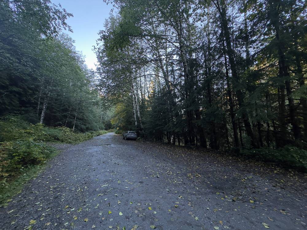
Flying in. Seattle-Tacoma (SEA) is about 2 hours from the bridge without traffic, and downtown Seattle about 1.5 to 1.75 hours (route estimates). Weekday traffic on I-5 can add 30 to 60 minutes.
The drive. I-5 north, then State Route 92 east to Granite Falls, the last town: fill up there, because there's no gas between Granite Falls and Darrington. Follow the Mountain Loop Highway east to about milepost 7, where Forest Road 41 turns off to the left (north) at the top of a hill, by two big telephone poles: it's the easternmost of three roads there. From the Verlot Public Service Center, it's 3.9 miles back west. Stay on the main road uphill, keeping left past the side roads, about 8 miles to the bridge over the South Fork of Canyon Creek. In 2026 trip reports called the road potholed but fine for any car. The bridge is at 48.1487, -121.7491.
Parking. A small lot and roadside parking at the bridge, about 1,630 ft by my GPS. No toilet, no water, no pass needed.
The bike. Bring your own, borrow one, or rent one, but read the rental terms: one Snohomish shop (Bicycle Centres, about $95 a day for a full-suspension mountain bike in 2026) bans using its bikes to reach hiking trails "such as the Three Fingers hike." A Seattle shop rented mountain bikes for about $130 a day, plus about $60 a day for a hitch rack, in 2026; check its terms too. A car with room for a bike, or a rack, is the easy way.
Verlot Public Service Center. About 11 miles east of Granite Falls on the Mountain Loop Highway, (360) 691-7791: maps and current conditions. It's seasonal: in fall 2026 it was open Friday to Monday, 8 a.m. to 4 p.m., until October 31, then Fridays and Saturdays until December 12; call ahead. As of November 2026, the Forest Service says it is open Fridays and Saturdays only, 8 a.m. to 12 p.m. and 12:30 to 4 p.m., and closed for the season after December 12. The Darrington Ranger Station, (360) 436-1155, manages the trail.
I didn't keep a list of what this trip cost me. I borrowed the bike and stayed with friends, which saved a lot.
For your budget (US dollars, as checked in October 2026):
| Item | Cost |
|---|---|
| The lookout, permit and parking | Free |
| An SUV from Sea-Tac, 2 days | About $120 to $300, plus 25 to 40% airport fees and taxes |
| Gas, Seattle to the bridge and back | About $35 to $60 (Washington averaged $5.53 a gallon in late September 2026) |
| A mountain bike, 2 days | About $190 to $260, if the shop allows it (see Getting there), plus a rack |
| A WAG bag | A few dollars |
That's about $350 to $650 for two days, before flights, a night in Seattle, and food; much less with your own car and bike.
| Night | Where | Height |
|---|---|---|
| Before | Friends' house north of Seattle | |
| 1 | The Three Fingers Lookout (Day 1 mile 17.9) | 6,850 ft (2,088 m) |
| After | Back to my friends' house |
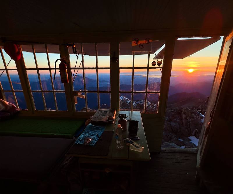
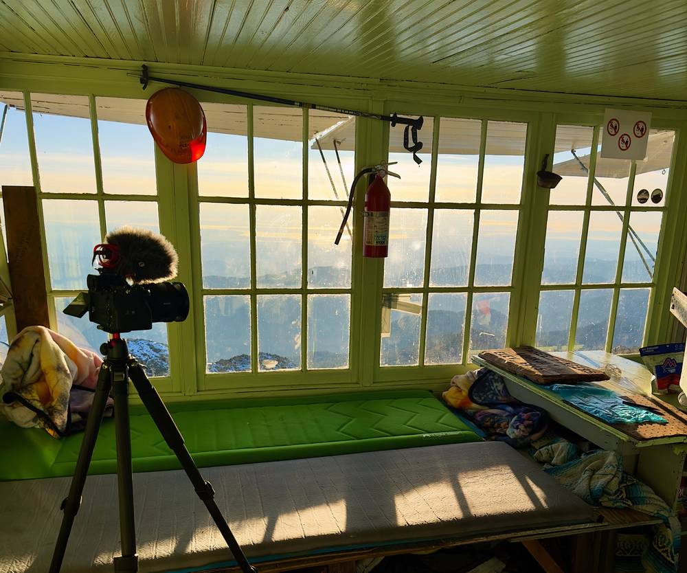
The lookout. A one-room cabin about 14 feet square, with windows all around and wooden shutters you prop open. It had a bunch of extra blankets and pads and a bed that could fit two pads easily. On the floor you could definitely have three, maybe four people, so six is probably the maximum you'd be comfortable with; visitors report a limit of 8. Mice have been reported: keep your food sealed and the place clean.
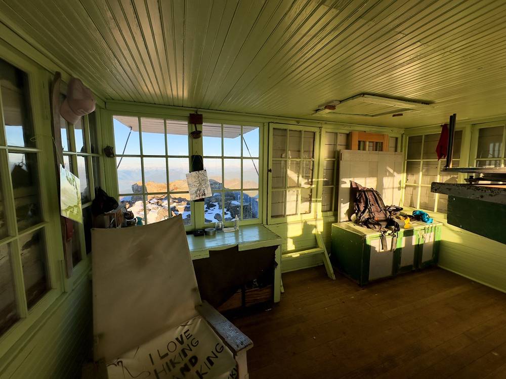
Always have a backup. You can't just depend on sleeping in the hut. In October it was very cold and windy at night, and it would have been a nightmare to be in a tent up there. It wouldn't be as windy down at Goat Flats, but be prepared: bring a tent and plan to arrive early enough to go back down if the lookout is full.
Food. Salt and vinegar pistachios, of course, and a hot meal cooked at the lookout.
Water. There wasn't much water up there: you'd have to hike down a little way to get snowmelt, and that changes throughout the season, so you can't depend on it. Pack up all the water you need for the night at the hut. Fill up at the stream past Saddle Lake or the ponds at Goat Flats; hikers in 2026 found no good water from Goat Flats to the gap, and snowmelt only below the last snowfield. Plan on 3 to 4 liters for the long day, plus what you need at the top. Filter or treat everything.
Paid links: I earn a commission if you buy through these links, at no extra cost to you. As an Amazon Associate I earn from qualifying purchases.
One night in the lookout, with a borrowed mountain bike for the road. Here's what I carried in 2023, what I'd take now and what I filmed with.
From my films and their description. I have no full gear list for this trip.
 Pack: Hyperlite Mountain Gear Southwest 2400 (Hyperlite)
 Sun hoodie: Amazon Essentials Quick-Dry Tech Hoodie (Amazon)
 Water: Katadyn BeFree AC · 1L (Amazon). There wasn't much water up at the lookout.
My current kit for what this hike needs.
 Sleeping bag: Hyperlite Mountain Gear 20° Mummy Bag (Hyperlite). It freezes at night from September.
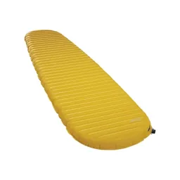 Sleeping pad: Therm-a-Rest NeoAir XLite NXT (Amazon)
 Tent: NEMO Hornet Elite OSMO 1P (Amazon). In case the lookout is full: it sleeps about six.
 Puffy: Arc’teryx Cerium Hoody (Arc’teryx). It was very cold and windy at night in October.
 Wind shell: PATH Projects Tensor Wind Shell (PATH Projects)
 Hat: PATH Projects Hoyt Merino Beanie (PATH Projects)
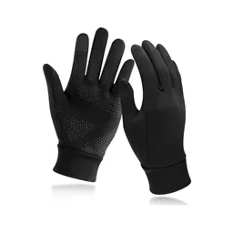 Gloves: Unigear Touchscreen Liner Gloves (Amazon)
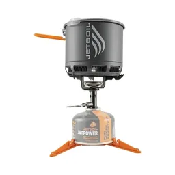 Stove: Jetboil Stash (Amazon). No fires from Saddle Lake up.
 Microspikes: Yatta Life Ice Spikes (Amazon). Early or late in the season, or after fresh snow.
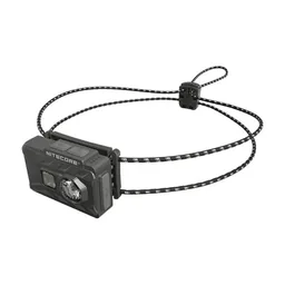 Headlamp: Nitecore NU20 Classic (Amazon)
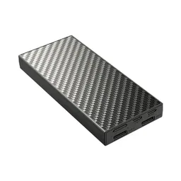 Power bank: Nitecore NB20000 (Amazon). No cell service from Verlot on.
From the film's description. My setup is smaller now (below). Drones aren't allowed in the Boulder River Wilderness: see Straight answers.
Since September 2026 I film with a smaller setup: the Pocket 4 and the Mic 3 on the trail, and the Mini 5 Pro in the air.
 Camera: DJI Osmo Pocket 4 (Amazon)
 Mic: DJI Mic 3 · 1 TX + 1 RX (Amazon). It pairs with the Pocket 4.
 Drone: DJI Mini 5 Pro (Amazon)
The bridge is where I'm saying my hike started: the parking lot for the car, trailhead number one, I guess. I rode the bike all the way up the road from there. It's a very overgrown small road, slightly paved, slightly dirt: I could picture a car getting through in places, definitely an SUV, but it was perfect for biking. Really pleasant, and there was no one up there.
The climb took a while, but it was really fun, and I liked it. I stopped for a salt and vinegar pistachio break, of course, steaming and sweating so much. I eventually made it to the actual walking trailhead later that morning, at about 11 a.m., found a nice, quiet, hidden spot to stash the bike, and started hiking.
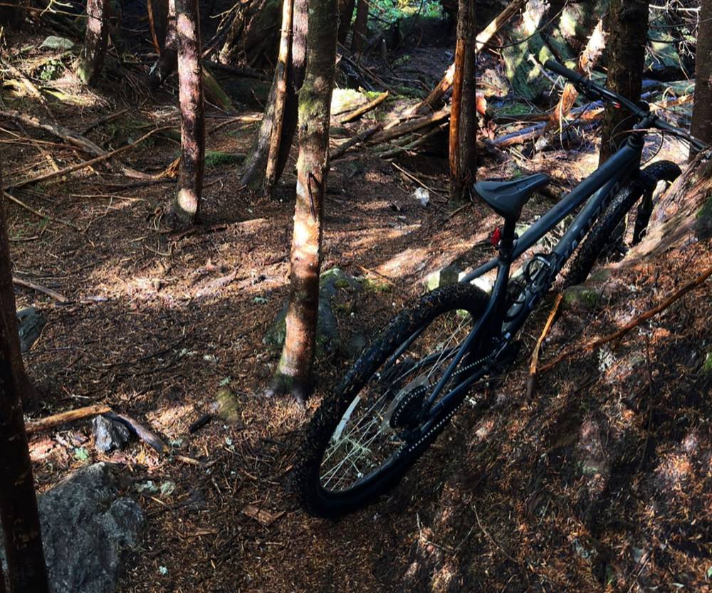
The trail is pretty overgrown and lush in this first area. Then the trails link up, and you get a really good view of the Three Fingers. It's really cool to be able to see the little speck of the lookout in the distance, and with each new vantage point the speck grows a little bigger. It just seems so far away and so steep, unattainable. But it is attainable.
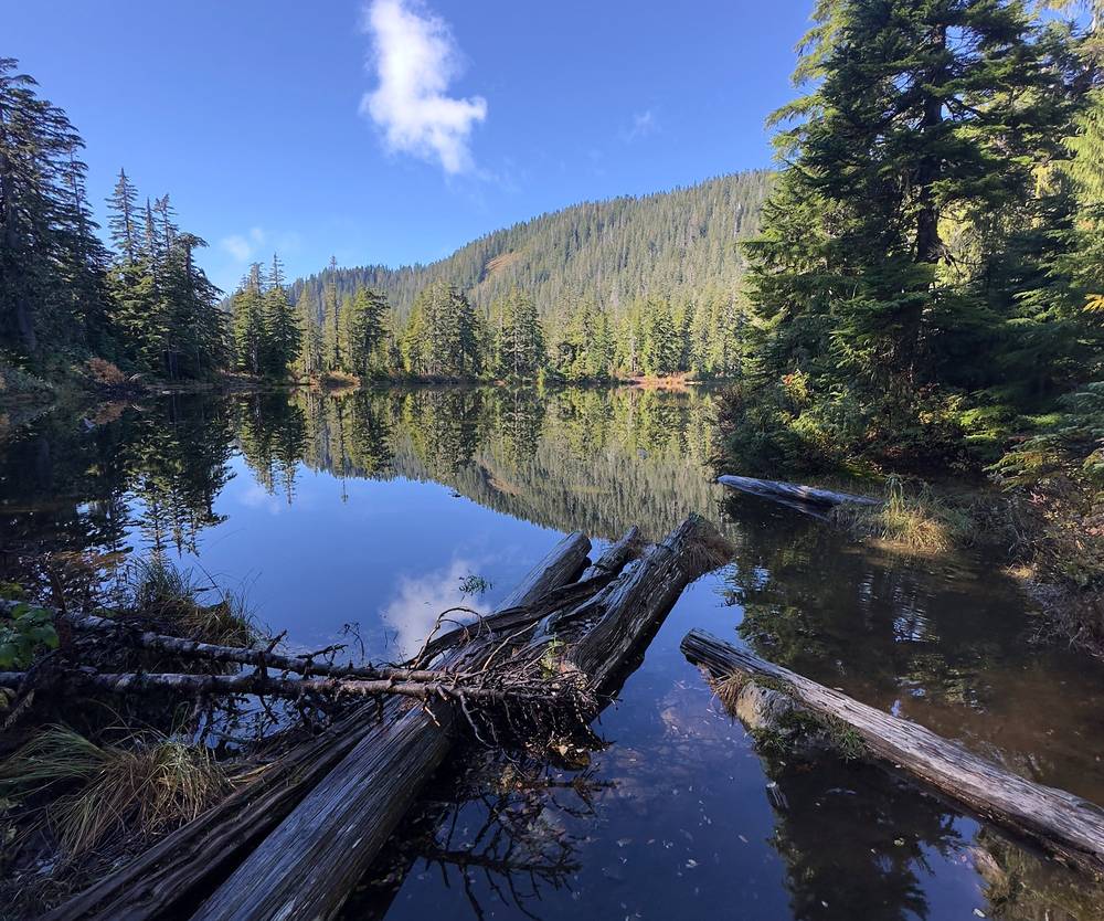
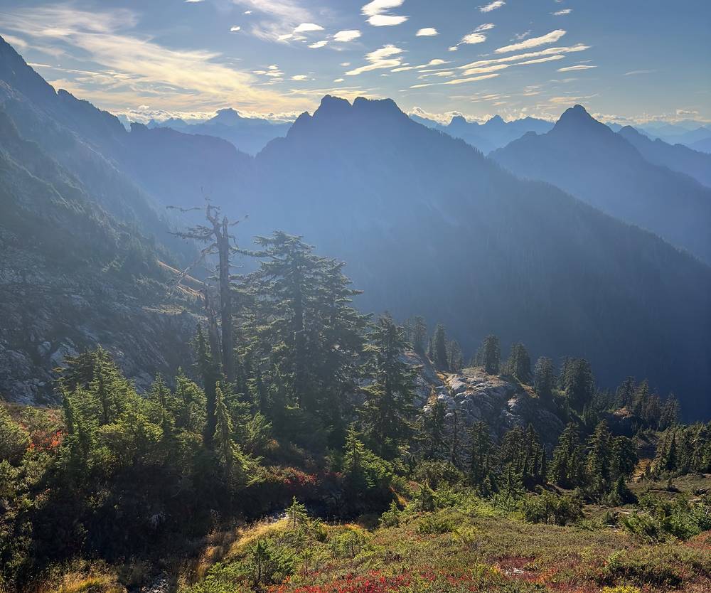
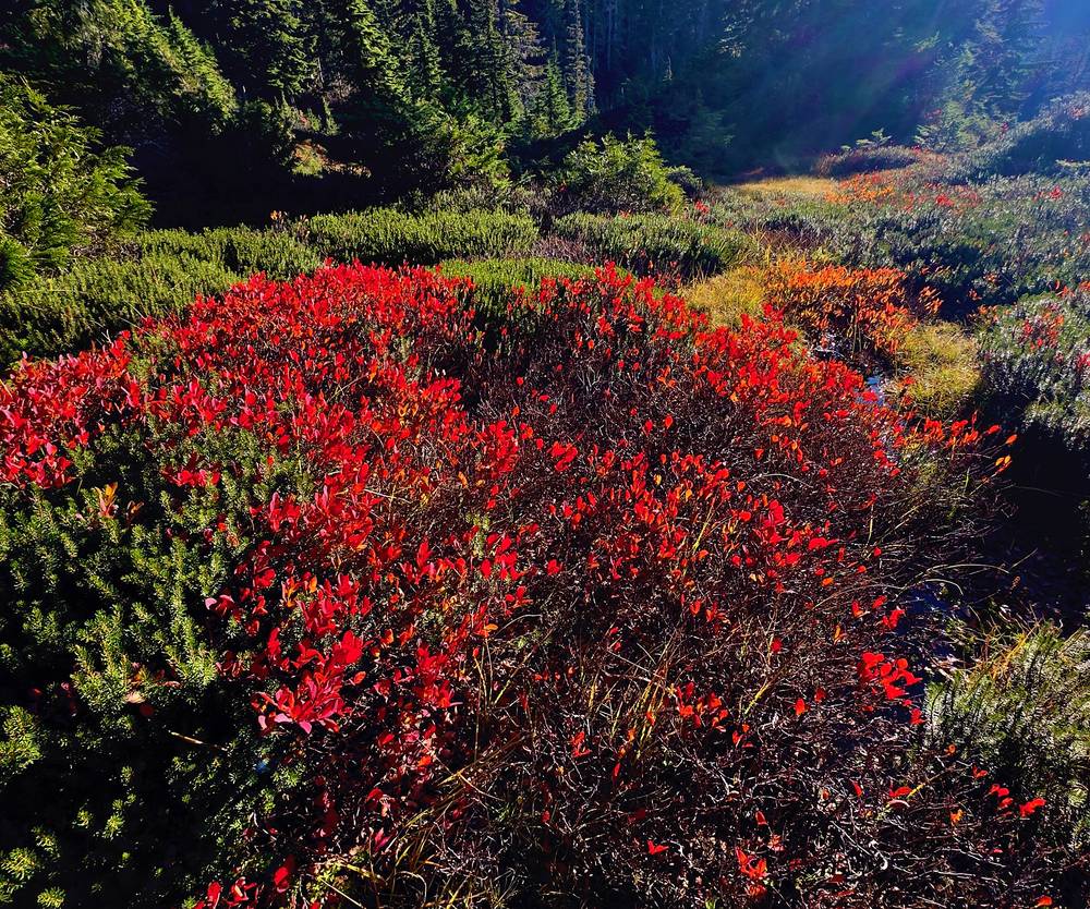
Around here you start to pop out of the trees and have more views. This slope was one of my favorites: really good fall colors, a little alpine slope meadow.
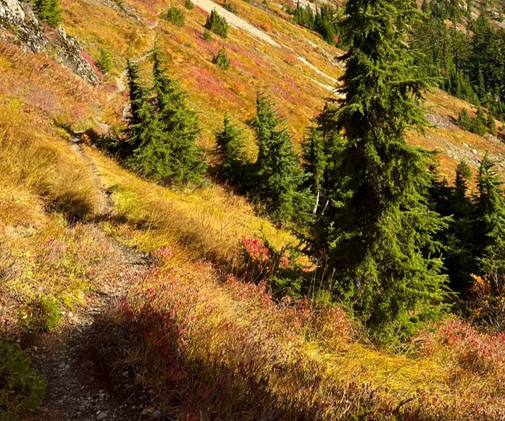
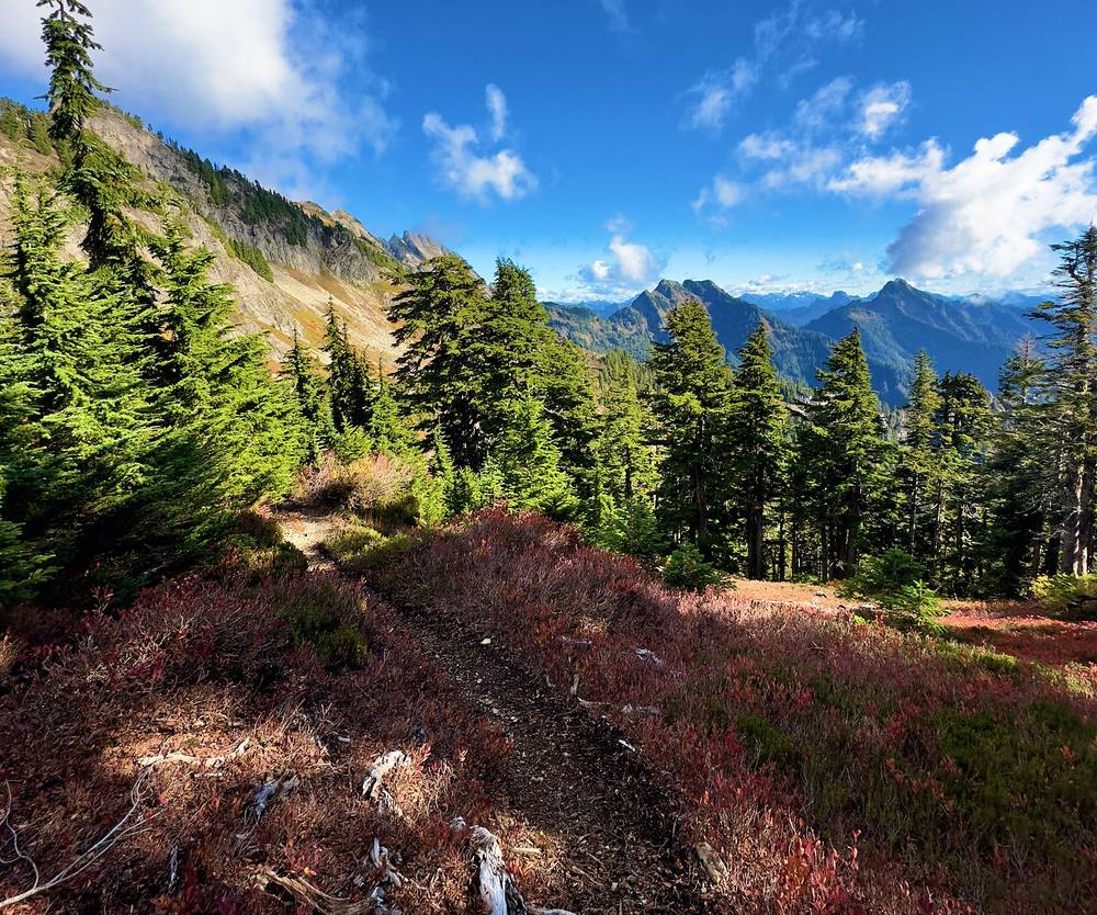
The saddle up here, Tin Can Gap, was a great view of the Three Fingers, and you also get views of the glacier: just a ton of snow and ice. There was a little dusting of snow on top, but the trail was pretty straightforward, with no exposure, and the switchbacks were good. (That was the trail up to Tin Can Gap. Past the gap there is real exposure above the glacier, a permanent snowfield and ladders: see The route below.) I was pretty happy with the maintenance of this trail: a lot of people take care of it. By the gap I knew it was a full day, and I had to push to get to the top before sunset. I did.
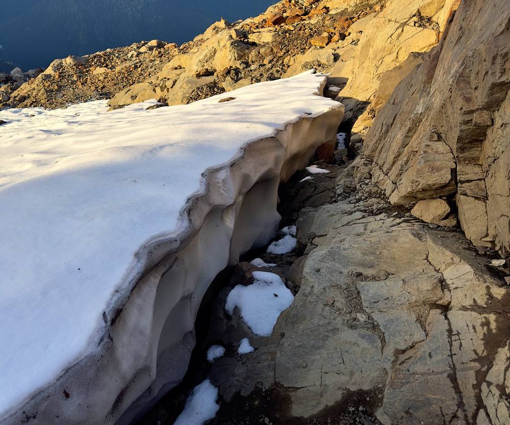
There was a snowfield near the top, and I did a little back and forth on it to get shots. I know some people go up and down the snowfield, but I skirted off to the side, because it's much easier for me to jump on the rocks instead. At one point I went up a little hill and turned back: you'll understand if you're up there. Just don't go anywhere with exposure, and stick to the easy route.
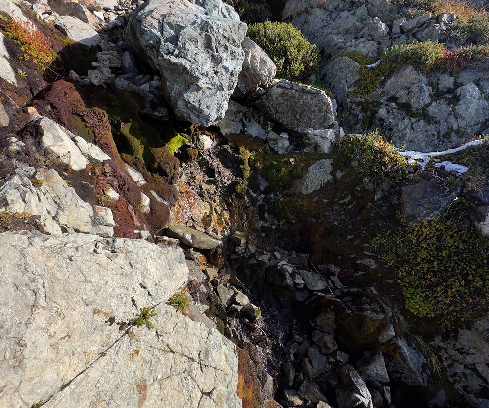
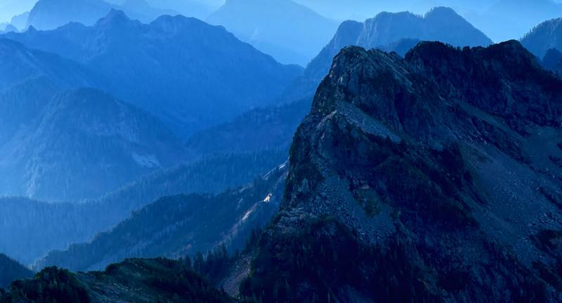
Then you reach the ladders. It was lovely going at my own speed, with no one else on the trail: very isolating, but very peaceful, to finally reach the hut, at about 5:30 p.m. I opened all the shutters, cooked a meal, and had 360-degree views of the mountains in the distance and the sunset. The volcanoes really stand out: I thought I saw Rainier, St. Helens and maybe Mount Hood. On a clear day Glacier Peak, Mount Baker and Rainier are plain to see, and Adams and St. Helens show faintly; Hood is probably hidden behind Rainier, by research for this guide.
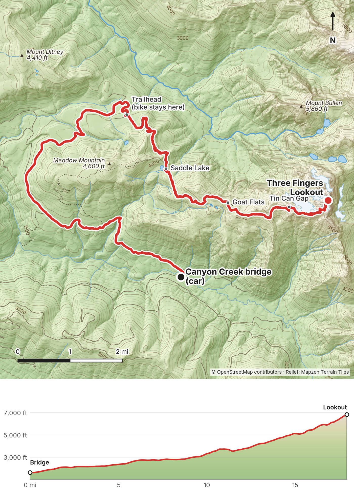
Forest Road 41, by bike (miles 0 to 9.3). From the bridge, about 1,630 ft, the old road climbs about 1,400 ft to the trailhead at Tupso Pass, about 3,030 ft, in long, mostly gentle grades, gravel and broken pavement with brush closing in. My first mile was slow, about 3 mph. Riders in 2026 took about 1 to 2 hours up. There's a turnoff partway up with a steep trail that cuts off a section of the road: if I were walking, I'd definitely take that. Leave the bike at the trailhead, out of sight: bikes aren't allowed in the wilderness, and nothing may be left unattended there for more than 48 hours.
The forest to Saddle Lake (miles 9.3 to 12.1). The trail climbs through dense forest, rough and rooty, often wet, with brush and downed trees in places in 2026. Saddle Lake, about 3,760 ft, is about 2.8 miles from the trailhead by my GPS (2.5 by the Forest Service). The trails link up near here: the route over Meadow Mountain joins from the west.
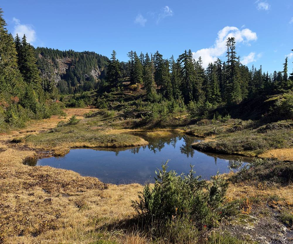
Up to Goat Flats (miles 12.1 to 14.4). Out of the trees into meadows, ponds and fall color. Goat Flats, about 4,870 ft by my GPS, is the camping area, with existing sites and a pit toilet. There's a stream about three quarters of a mile past Saddle Lake, and small ponds near Goat Flats that can dry up by late August.
Goat Flats to Tin Can Gap (miles 14.4 to 16.3). Better trail, open slopes, then steep switchbacks to the gap, about 5,740 ft. The Forest Service calls it Tin Pan Gap; most hikers say Tin Can. There's no good water on this stretch: fill up before. From the gap you see all three fingers, the glacier below them, and the lookout on the south one.
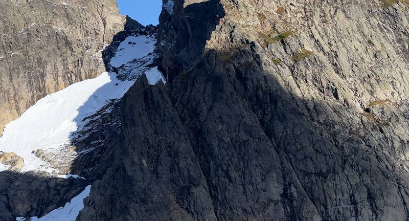
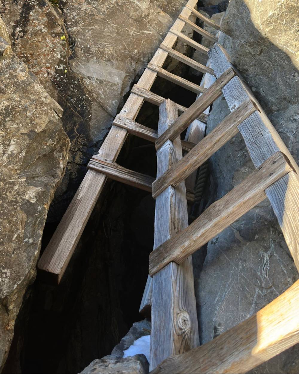
The gap to the lookout (miles 16.3 to 17.9). The hardest part. The route follows the ridge with a long drop to the glacier on one side in places, goes down a steep gully, and crosses a permanent snowfield, about 6,350 ft, where the path disappears: follow the cairns and your GPS. In recent years the glacier has shrunk, and late in the season a ledge or boot path goes around it. Then a steep rock scramble to three wooden ladders, with a rope between the second and third in 2026, as reported, and the last rock up to the lookout. The Forest Service calls this last half mile mountaineering, with real exposure, and says everyone has to judge for themselves whether the climb is safe.
At Tin Can Gap, if it's late, the weather is turning, or there's more snow or ice ahead than you're ready for. Past the gap there have been several search and rescue missions. Leave enough daylight to reach the top, or to get back to Goat Flats to camp if the lookout is full: plan to arrive early. If you're on the bike and short of time, the day is too long: camp at Goat Flats and go up to the lookout in the morning.
Day 1 in my film · Inside the lookout (from 5:04) · My guide video: the drive and Day 1 (from 1:13)
The next day was the same thing in reverse. It was very windy at the top, descending, but I quickly made it back down to the meadow and back to the bike.
The ride back down to the car was so fun. It was almost always downhill, and I was going pretty fast for some sections. But 10 miles downhill on a mountain bike is pretty exhausting, with the hand grips and constantly braking: it's surprising how tired I was without doing much pedaling, just standing there on the bike. I was back at the car at 11:43 a.m., put the bike in, drove back to my friends' house, and made sure to clean the bike before leaving it with them.
The same way back. On foot it's 7.6 miles from the lookout to the trailhead by my GPS, almost all downhill: take the ladders and the scramble slowly, facing in, and cross the snowfield with care in the morning, when it can be hard and icy. On the bike it's 8.9 miles back to the bridge, nearly all downhill: my ride took 44 minutes. Keep your speed down on the loose gravel and the broken pavement, and watch for hikers and other riders.
You're heading out, so the question is when to wait. If it's icy at the ladders or the snowfield, wait for the sun to soften it. If a storm comes in, stay in the lookout until it passes, away from the lightning rods and the metal. If someone is hurt, use your satellite messenger: there's no signal.
Day 2 in my film (from 8:23) · My guide video: Day 2 and my tips (from 10:05)
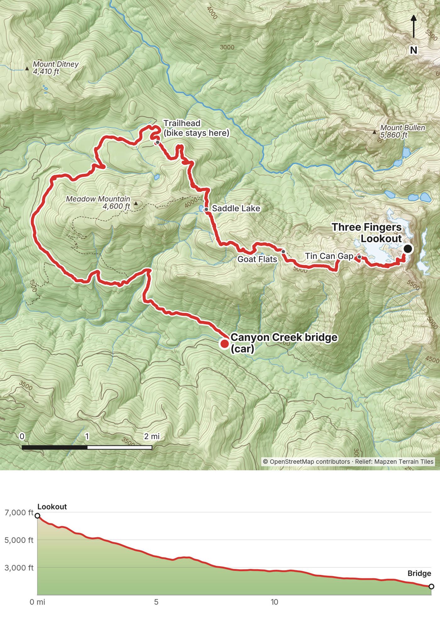
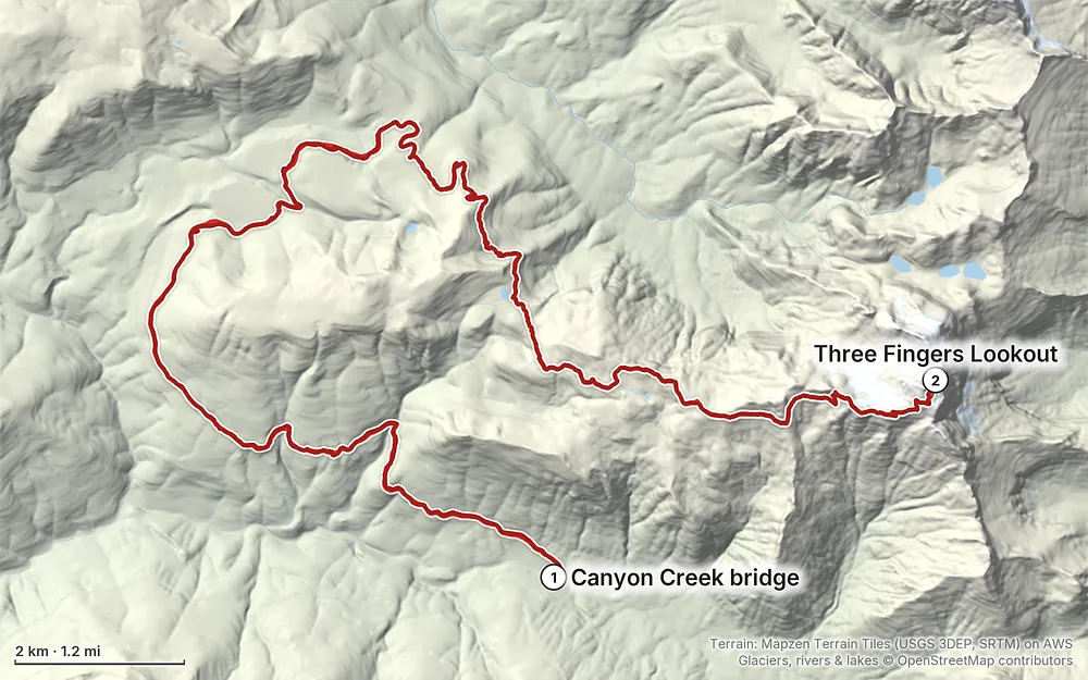
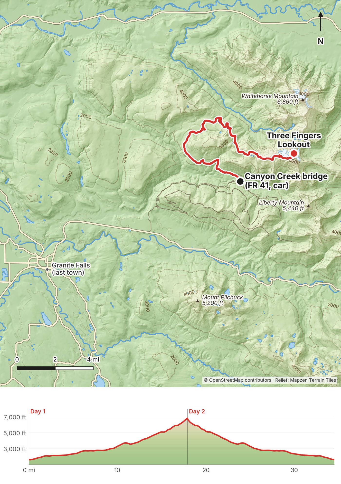
Elevation1,604–6,850 ft34.5 mi
Terrain: Mapzen Terrain Tiles (USGS 3DEP, SRTM) on AWS · Glaciers, rivers & lakes © OpenStreetMap contributors
Tap a map to open it full size.
Checked on the Forest Service's pages for the Mt. Baker-Snoqualmie National Forest (the Three Fingers Lookout and Trail 641 pages, the Forest Road 41 alert and closure order, the Boulder River Wilderness rules, and the lookouts page) and the Washington Trails Association's hike page, on October 3, 2026.
Closed for the rest of 2026. Forest Service order 06-05-26-21 closes Forest Road 41 from September 29 to December 31, 2026, unless it's lifted sooner, for the Tupso timber sale. It starts at the Forest Road 4110 junction, about a mile up from the Mountain Loop Highway, and runs to the Canyon Creek bridge. It bans being on the road at all, so walkers and bikes too, and the alert lists the lookout and Trail 641 as affected. The fine is up to $5,000.
2027. A Forest Service note, quoted in a Washington Trails Association trip report in September 2026, said the plan is to finish the sale in 2026 and then have "no interruptions" to Forest Road 41 next season. That's a plan, not a promise: check the alert before you go.
The bridge. In a normal year you drive about 8 miles up Forest Road 41 to the bridge over the South Fork of Canyon Creek and park. The road beyond washed out years ago and is closed to vehicles for good; walking and biking are allowed. The Forest Service is planning to remove the failed bridge and put in a footbridge (project 68475, no dates yet), so where you park and how you cross may change.
The lookout. Volunteers closed it for maintenance twice in summer 2026, for a week each time, and volunteers have recently replaced the ladders, as reported. Check for work-party closures before you go.
What to do. The week before you go, check the Forest Service alert for Forest Road 41 and the Three Fingers Lookout page, and read the latest trip reports on the Washington Trails Association's Three Fingers page for snow at the top.
These were checked on the Forest Service's pages for the Mt. Baker-Snoqualmie National Forest on October 3, 2026.
No permit, no fee. The Forest Service lists no fee for the lookout, and the Washington Trails Association lists no parking pass. I found no wilderness permit requirement for the Boulder River Wilderness. Sign a trail register if you find one.
The lookout. Built in 1930 to 1933 by blasting the top 10 to 15 feet off the South Peak, staffed in summers until 1942, and on the National Register of Historic Places. The Everett Mountaineers have looked after it since 1986, and the volunteer group Friends of Three Fingers Lookout does the hands-on work, with hand tools only. It's not rented: first come, first served, free. The Forest Service's rules for its lookouts: bring a tent in case it's full, stay no more than two nights (its recommendation), fill and light stoves outside, keep food in the rodent-proof containers, pack out all your garbage, and replace what you use. Volunteer work parties come first, with notice at the trailhead. When I got there I opened all the shutters, read the rules and followed them, and checked out all the stuff that's inside.
What was inside. A bunch of extra blankets and pads, and a bed that could fit two pads. Other visitors report a logbook and the original fire finder. What's left up there changes: bring your own sleeping bag and pad.
Camping. There's nowhere to camp at the top. Goat Flats has existing campsites and a pit toilet: use only the existing sites, because the meadow is fragile. No camping within 200 ft of Saddle Lake.
Fires. Banned from Saddle Lake to the lookout, within a quarter mile of the trail above Saddle Lake, and in the Goat Flats area. Bring a stove.
Human waste. There's no toilet at the trailhead or above Goat Flats. Carry a WAG bag for the alpine part.
The wilderness. The trail is in the Boulder River Wilderness from the trailhead up: no bikes, carts or other wheels past the trailhead, no drones, groups of 12 or fewer, and nothing left unattended for more than 48 hours. Keep food away from bears at Goat Flats.
Mid-October. I went on October 12 and 13, 2023, and had fall colors, a little dusting of snow up on the top, and no need for spikes or any equipment for snow. Mid-October was a great time to go. I'd say a week or so later, maybe October 20 to 30, the colors might be popping more, but then you're also risking snowfall or colder temperatures, so it's a little tricky to say the best time. I was happy with when I went.
The season. The Forest Service says its lookouts are usually snowbound until mid to late summer. In 2026, trip reports found about half the route above Goat Flats under snow, with ice at the ladders, in mid-June; very little snow by late August; and fresh snow and a little ice by the ladders in late September. Late July to late September is the usual window. The first real snow at the top usually comes in mid to late October, and about one year in four before mid-October.
Pick a weather window. I looked at mountain-forecast.com and waited for a good window of clear to partly cloudy skies with little to no chance of rain, and that's why I pulled the trigger to go. The National Weather Service's point forecast for the area is a good second check, but its grid sits at about 4,970 ft, so take off 6 or 7 °F for the lookout.
Weather at the lookout. Modeled averages at about 6,850 ft (ERA5 reanalysis, 2011 to 2025, research estimate):
| Month | High / low °F (°C) |
|---|---|
| July | 55 / 36 (13 / 2) |
| August | 56 / 37 (13 / 3) |
| September | 49 / 31 (9 / -1) |
| October | 38 / 23 (3 / -5) |
The Boulder River Wilderness gets more than 150 inches of rain and snow a year. In October it was very cold and windy at night.
Light. On October 12, 2023 the sun set at about 6:20 p.m. and rose at about 7:20 the next morning. In summer it sets around 9 p.m. (mid-July) to 8:20 (mid-August). From the lookout you get 360 degrees of mountains, and the sunset and the sunrise both.
Emergencies. Call 911 if you can get through, or text 911 when a call won't connect; plan on no cell service from Verlot on, so carry a satellite messenger. Snohomish County Sheriff's search and rescue covers the area, and rescues here have taken many hours, even a day or more. The nearest hospitals are Cascade Valley Hospital in Arlington and Providence Regional Medical Center in Everett (a trauma center), each about 30 minutes from Granite Falls. Leave your plan, your route and your return time with someone at home.
The climb to the lookout. Past Tin Can Gap there's a snowfield, exposed rock and three ladders. Go slow, keep three points of contact, hold on to stuff that doesn't move, and stay on the easy line: if it's exposed and sketchy, you're probably off route. Early and late in the season the snowfield and the rock by the ladders can be icy: bring microspikes and an ice axe and know how to use them. Wear a helmet if others are above you.
Lightning. The lookout sits on the highest point around and has lightning rods. Watch for thunderstorms in July and August, and don't be on the ridge or the ladders when one is building.
Cold and wind. Even after a sunny day it was very cold and windy at night in October. Expect freezing nights from September.
Navigation. The forest trail is rough and brushy in places, and the path fades past the gap. Have the GPX on your phone.
Wildlife. Black bears visit Goat Flats: keep food away from them. Mountain goats, deer and cougars live here too. Mice live in the lookout: Washington's health guidance is to air the cabin out and never sweep up droppings dry (hantavirus).
The road. On the bike, the descent is fast, loose and long: keep your speed down and your brakes working.
How hard is it? Hard, and long. This is definitely a full day of hiking: I started driving to the trailhead before the sun was above the horizon and reached the lookout at about 5:30 p.m. The first 9 miles are on the bike, mostly uphill. Then it's about 8.6 miles on foot and 4,100 ft of climbing to the top, the last part over rock and snow and up ladders. The trail itself was pretty straightforward, with good switchbacks: if you get to a spot where there's exposure and it's sketchy, you're probably off the trail.
Do I need a bike? No, you could walk the road, but I would never do this hike without the biking section. Walking it would be a nightmare, super boring. It was the first time I'd ridden a mountain bike with a pack on my back, and it was great. A mountain bike or a sturdy gravel bike works; a road bike doesn't. E-bikes count as motor vehicles to the Forest Service, so they're very likely not allowed past the bridge.
How far is it? By my GPS, 17.9 miles up (9.3 on the bike, 8.6 on foot) and 16.6 back (7.7 on foot, 8.9 on the bike), about 34.5 miles. In my films I say 18 up and 17 down, with 10 of each on the bike. The trail alone is about 15 miles round trip, by the Washington Trails Association.
Can I sleep in the lookout? Yes, if there's room: it's free, first come, first served, with no reservations, and it holds about 8 people, by visitors' reports. It had a bed that could fit two pads easily, and room on the floor for three, maybe four more. It was full even midweek in August 2026, as reported. You don't know who's up there, so always bring a tent and a backup plan: Goat Flats, about 3 miles back down by my GPS, is the place to camp.
Do I need a permit? No permit and no parking pass. The rules of the Boulder River Wilderness apply from the trailhead up (see The rules and staying in the lookout).
Is it scary? The ladders are intimidating at first, but they're really nothing too crazy: go slow and always keep three points of contact. Past Tin Can Gap the route runs above real drops in places. I stuck to the easy line and kept away from anywhere with exposure.
Is there water? Low down, yes: Saddle Lake and streams below Goat Flats. Up high there wasn't much: I'd have had to hike down a bit to get snowmelt, and that changes through the season. Carry all the water you need for the night at the lookout.
Can I fly a drone? No. Drones aren't allowed in the Boulder River Wilderness, which includes the trail and the lookout.
Can I have a campfire? No. Fires are banned from Saddle Lake to the lookout and at Goat Flats. Bring a stove.
Is there a phone signal? Plan on none from Verlot on. Carry a satellite messenger, or a phone with satellite texting, and leave your plan with someone.
The easier plan, and the safe one when the lookout is full: bike and hike to Goat Flats (about 14.4 miles from the bridge by my GPS), camp there, go up to the lookout and back without your big pack, and head out. A third day makes it relaxed.
Walk the road: about 34 miles round trip, so three days is better than two. I wouldn't do it, but people do.
A trail leaves Forest Road 41 near Saddle Creek, about 2.3 miles above the bridge, and climbs over Meadow Mountain to join the main trail near Saddle Lake, as reported: about 9.7 miles from the bridge to Goat Flats, with more climbing than the road. It's the walker's route, and shorter on foot than the road.
There's a steep, flagged route up from another forest road, for experienced navigators only, as reported. I don't describe it here.
These change every year. Everything else in this guide stays the same.
Is it open?
Getting there
Your stuff
Planning questions about Three Fingers Lookout, answered only from this page's facts, the creators' versions and hikers' public tracks, with where each answer comes from. When the data doesn't say, the answer says "not given".
From hikers
Sign in to comment. Free; your hikes stay private unless you share them.
Something wrong or missing on this page? Send feedback.