 Hiking to the Three Fingers Fire Lookout

Kraig AdamsOct 2023 · Solo
- Days
- 2 days
- Direction
- Out and back on Forest Road 41 and the trail to the lookout
- Cost
- See his costs
- Lodging
- Huts
North America · United States
Boulder River Wilderness, Washington
Hikes / North America / Three Fingers Lookout
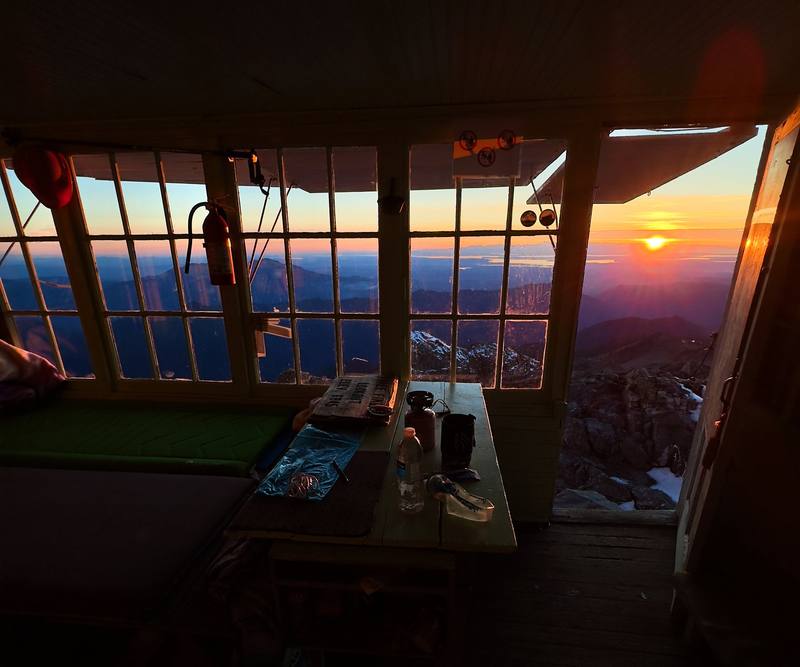
In October 2023 I flew from New York to Seattle, borrowed a friend's mountain bike, and rode and hiked alone to the Three Fingers Lookout, a 1930s fire lookout bolted to the top of a rock spire in the North Cascades foothills. I spent the night inside it, the only person on the trail and the only one in the lookout, and came back down the same way the next morning. About 17.9 miles up and 16.6 back by my GPS, about 9 miles of each on the bike. It's the trip from my films Hiking to the Three Fingers Fire Lookout and Overnight Alone in the Three Fingers Lookout.
Kraig Adams
Effort at this pace: Very hard · about 17 mi (28 km) and 3,110 ft (948 m) of climbing a day over 2 days, up to 6,850 ft (2,088 m). Our grade for the days given, worked out from distance, climbing and altitude a day; it isn't the trail's usual difficulty rating (under Basics) and doesn't rate exposure, terrain or weather.
From Kraig Adams's GPS recording and guide.
From Kraig Adams's GPS

Elevation1,604–6,850 ft34.5 mi
From Kraig Adams's GPS. Terrain: Mapzen Terrain Tiles (USGS 3DEP, SRTM) on AWS · Glaciers, rivers & lakes © OpenStreetMap contributors
Tap a day for his map of it
The film
 Hiking to the Three Fingers Fire Lookout
Before you go
From Kraig Adams's guide
a borrowed mountain bike · Hyperlite Mountain Gear Southwest 2400 · Amazon Essentials Quick-Dry Tech Hoodie · Salomon Speedcross · Katadyn BeFree AC · 1L · Noka smoothie packets · the AllTrails app · Hyperlite Mountain Gear 20° Mummy Bag and 19 more.
From Kraig Adams's guide
From Kraig Adams's guide. For planning, not navigation: check before you go.
Their films and versions
1 creator so far: Kraig, 2 days, huts.
Hiking to the Three Fingers Fire Lookout
Walked Three Fingers Lookout? Be the first to share your track: log it with your GPX.
Sign in and log a few hikes to see how long this one would take you.
Typical: 2 days (the hike's facts).
Planning questions about Three Fingers Lookout, answered only from this page's facts, the creators' versions and hikers' public tracks, with where each answer comes from. When the data doesn't say, the answer says "not given".
From hikers
Sign in to comment. Free; your hikes stay private unless you share them.
Answered from the data
Kraig Adams hiked it in 2 days.
From Kraig Adams's trip and guide.
I didn't keep a list of what this trip cost me. I borrowed the bike and stayed with friends, which saved a lot.
From Kraig Adams's trip and guide.
Late July to late September is the usual snow-light window; I went in mid-October 2023 with fall colors and only a dusting of snow. Early and late in the season expect snow and ice near the top, and bring microspikes and an ice axe.
From Kraig Adams's trip and guide.
No permit and no parking pass. The Boulder River Wilderness rules apply: no fires from Saddle Lake up, no bikes or drones in the wilderness, groups of 12 or fewer.
From Kraig Adams's trip and guide.
About 34.5 miles round trip by my GPS from the Canyon Creek bridge, where cars stop on Forest Road 41: about 18 of it on the closed road, which most people bike, and about 16 on the trail. The trail alone, from the trailhead at Tupso Pass, is about 15 miles round trip with about 4,200 ft of climbing.
From Kraig Adams's trip and guide.
Not in late 2026: a Forest Service order closes it to everyone, walkers and bikes too, from September 29 to December 31, 2026, for a timber sale, and the Forest Service hopes to reopen it for 2027. In a normal year cars stop at the Canyon Creek bridge, about 9 miles below the trailhead, and you bike or walk the rest.
From Kraig Adams's trip and guide.
Yes: it's free, first come, first served, with no reservations, and holds about 8 people. It fills up even midweek in summer, so bring a tent and plan to camp at Goat Flats if it's full.
From Kraig Adams's trip and guide.
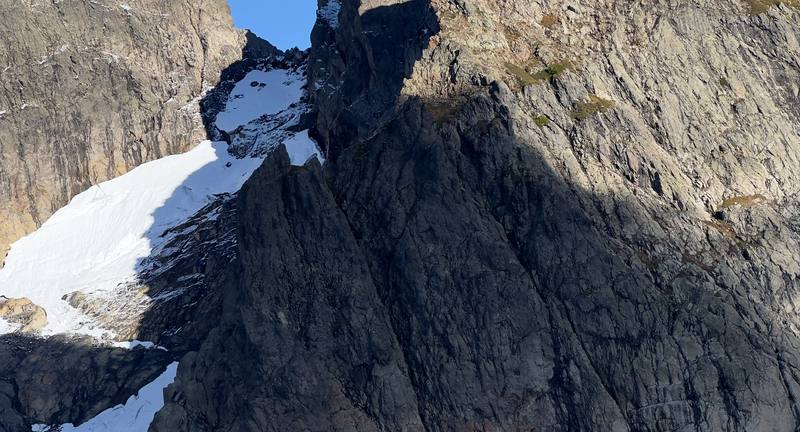
The last half mile crosses a snowfield and exposed rock and climbs three ladders to the lookout, and there have been several rescues past Tin Can Gap. Go slow, keep three points of contact, and turn back at the gap if it's late, icy or stormy.
From Kraig Adams's trip and guide.