
Content made there
The film is at the top of this page.
Photos
Hikes / Teton Crest Trail / Kraig Adams's version
North America · United States
Sep 3–4, 2020 · 2 days · 50 miles · Solo · Tent

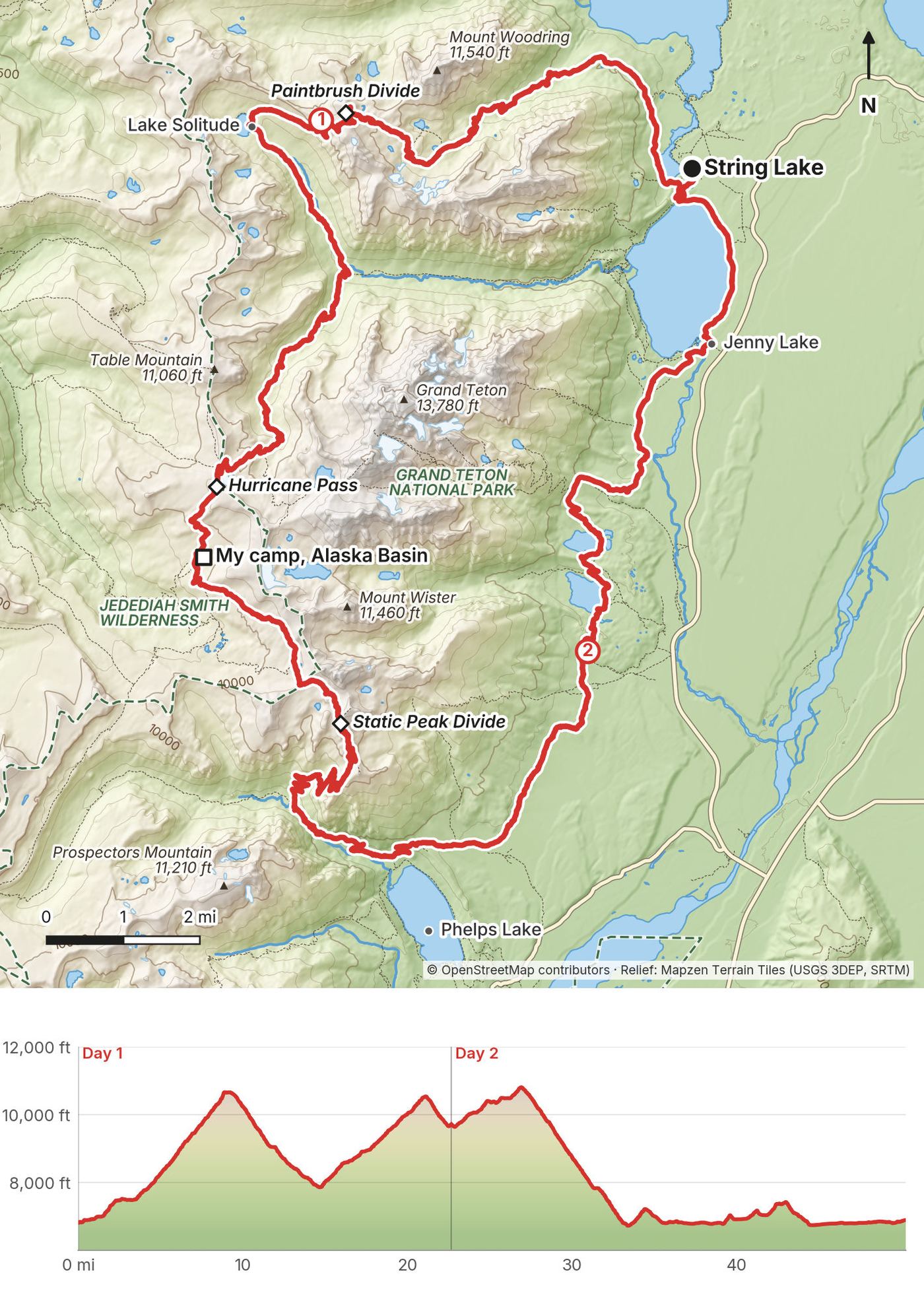
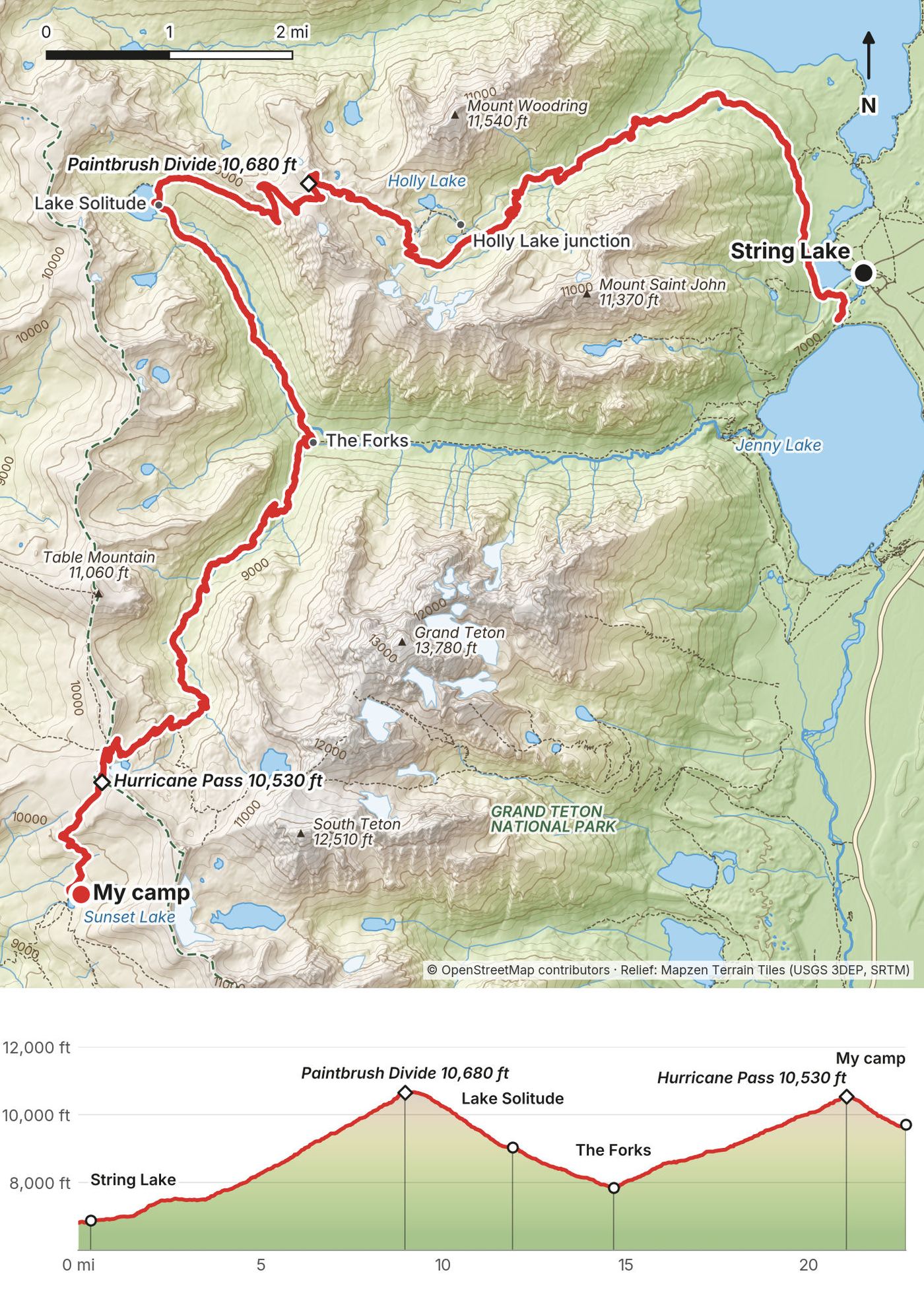
In September 2020 I hiked a 50-mile loop through Grand Teton National Park in Wyoming, alone, in two days. I started and finished at String Lake, climbed Paintbrush Canyon, went over Paintbrush Divide, past Lake Solitude and down the North Fork of Cascade Canyon, up the South Fork and over Hurricane Pass, and camped in Alaska Basin, just outside the park. The next day I crossed Buck Mountain Pass and Static Peak Divide, went down Death Canyon and walked back north along the foot of the range past Taggart, Bradley and Jenny lakes.
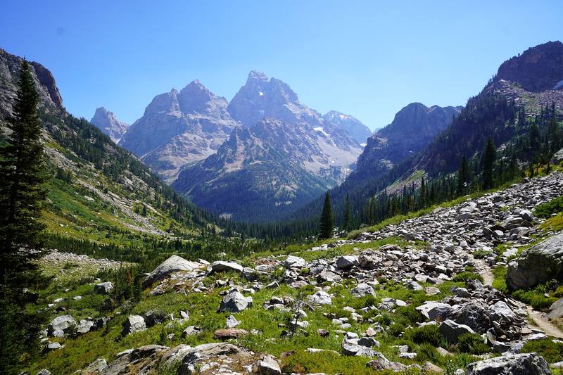
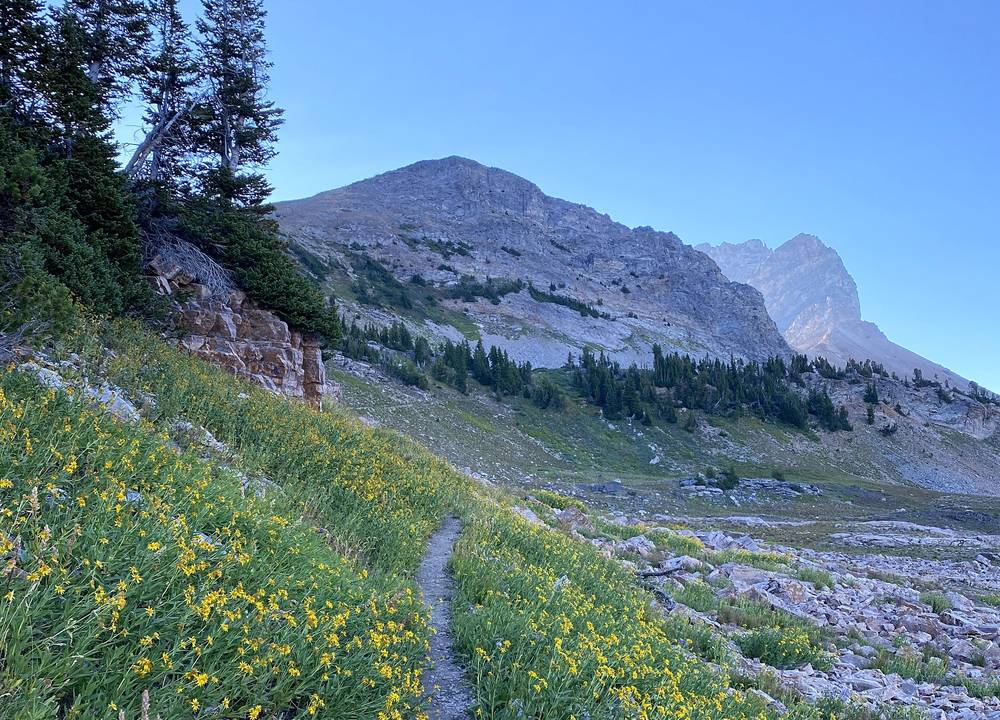
This trail was amazing. You just have constant views the entire way, you're in alpine zones for a lot of it, and the three Tetons, with the Grand Teton the highest and most spectacular, are almost constantly in view. You go around it on this loop.
| Quick facts | |
|---|---|
| Distance | 50.3 miles (80.9 km) by my GPS, a loop |
| Climbing | about 9,460 ft (2,880 m) up and the same down |
| Days | 2 for me. 4 or 5 with a park permit is the gentler plan |
| Start and finish | String Lake Trailhead, Grand Teton National Park, 6,880 ft (2,100 m) |
| Highest point | Static Peak Divide, 10,830 ft (3,301 m) by my GPS, Day 2 |
| Passes | Four: Paintbrush Divide, Hurricane Pass, Buck Mountain Pass, Static Peak Divide |
| Permit | Every night inside the park needs a park backcountry permit. My one night was in Alaska Basin, on national forest land, where no permit is needed, but overnight parking at String Lake needs a park permit: see Camping |
| 2026 closures | The old Death Canyon Trailhead on Day 2 is closed to all use during construction (to June 2027). See The 2026 closures |
| Nearest airport | Jackson Hole (JAC), inside the park |
| Nearest town | Jackson, Wyoming |
| Trip date | September 3 and 4, 2020, solo |
| Day | Route | Miles (km) | Up / down (ft) | Sleep |
|---|---|---|---|---|
| 1 | String Lake to Alaska Basin | 22.7 (36.5) | 6,600 / 3,710 | My tent near Sunset Lake, Alaska Basin |
| 2 | Alaska Basin to String Lake | 27.6 (44.5) | 2,860 / 5,680 | Back at my car |
The numbers come from my own GPS recordings, smoothed the same way as in all my guides. In my film I called it a 45-mile loop with about ten thousand feet of elevation gain, "which is a ton for that distance." My GPS measured 50.3 miles and about 9,460 ft; the recording app's own totals were the same distance and about 9,880 ft of climbing.
What I did. I flew into Jackson Hole a few days before the hike. I'd been to the area before but had never been up in the mountains or hiked them. It was about time for me to renew my $80 annual parks pass, and I had a few days to poke around, do some car camping and sightseeing, and get a sense of what I wanted to capture. On the morning of the hike I woke up at the crack of dawn, 6 a.m., drove from the national forest area where I was car camping into the park, and was greeted by the sunrise hitting the tops of the crest, with the moon still out. At 7 a.m. I parked at String Lake, packed my things and started the hike.
The airport. Jackson Hole Airport is inside the park. Taxis, Uber and Lyft and hotel shuttles serve it. There is no park shuttle between trailheads; the park says you're responsible for your own transport, and hitchhiking is allowed with restrictions.
String Lake Trailhead. At String Lake, just north of Jenny Lake: a paved 226-car lot that fills early in the day in summer, and no roadside parking when it's full. Overnight parking is only allowed with a backcountry permit (2026). Jenny Lake (414 cars) and Lupine Meadows (106) have the same rule.
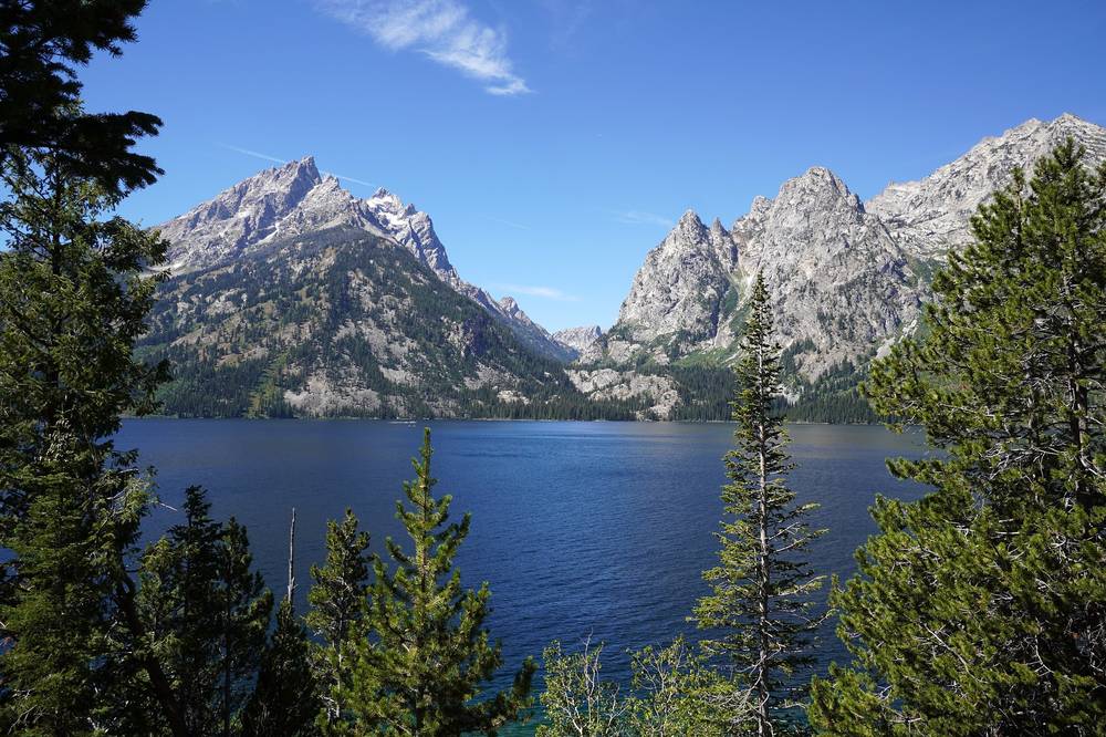
Jenny Lake. The Jenny Lake Visitor Center has information and a park store (May 15 to October 12 in 2026); the Jenny Lake General Store runs May 2 to October 4. The boat across Jenny Lake runs May 15 to September 30, every 10 to 15 minutes ($20 round trip or $15 one way for an adult in 2026, on the boat company's page). The best spot to park and step out to take a photo, I think, is the Jenny Lake Overlook.
Free camping. Car camping up in the national forest near the park is free, and a bunch of other people in RVs and vans were sleeping there as well. Choose a spot you're allowed to use and check the forest's stay limits.
My records for this trip are thin: no receipts survive from September 2020.
| Item | What I paid |
|---|---|
| Park entrance | My annual parks pass ($80), due for renewal on this trip |
| Backcountry permit | None: my one night was on Forest Service land |
| Camping in Alaska Basin | Free |
| Car camping in the national forest | Free |
| Food for the hike | Not in my records |
| Ice cream and Powerade at Jenny Lake | Not in my records |
| Flight to Jackson Hole and the car | Not in my records |
For your budget (2026 prices). A park permit: $20 plus $7 a person a night inside the park (Alaska Basin nights free). Entrance: $35 a vehicle for 7 days, or an America the Beautiful pass ($80 US residents, $250 nonresidents); non-US residents without an annual pass pay an extra $100 each. The Jenny Lake boat: $20 round trip, $15 one way. The Teton Village tram, for the classic start: from $67.
| Night | Where | Height |
|---|---|---|
| September 2 | Car camping in the national forest near the park | |
| September 3 | My tent near Sunset Lake, Alaska Basin, Jedediah Smith Wilderness | 9,720 ft (2,960 m) |
| September 4 | Not in my record |
Alaska Basin. My camp was on national forest land, about 0.7 miles west of the park boundary at Hurricane Pass and about 300 feet from Sunset Lake. The Forest Service's rules there: no permit, camp at least 200 feet from lakes and 100 feet from streams, no fires, store food properly. There's no water system and no toilets.
Inside the park. Only with a permit, in the camping zones or named sites (see Permits and rules): 200 feet from water and the trail, no campfires.
Free car camping. Car camping up in the national forest is free, and a bunch of other people in RVs and vans were sleeping there as well. If that fills up, if you get there late at like 9 p.m., there are other free spots in the national forest.
Food. I was very efficient with the food I brought for this hike: I think I brought exactly enough. I had a Mountain House meal, a rice side, potatoes, beef jerky, peanut butter, a Kind bar, breakfast biscuits, two oranges and cashews. There's nothing to buy on the trail until the Jenny Lake store near the end.
After the hike. The best spot to get a burger and a beer after a long hike is Dornan's in Moose, a little teepee lodge area with a grill (its Chuckwagon runs in summer). In Jackson, my spot for breakfast, coffee and laptop work was Picnic, a café that opened at 7 a.m. when I was there: good coffee, outlets and Wi-Fi. I edited this whole film there.
Water. Streams and lakes most of the way; my film shows me getting water from a stream at camp. The park says all drinking water must be treated. The Forest Service says there's no drinking water at Alaska Basin; treat what you take from its lakes and streams.
Food storage. A bear-resistant canister: required in the park (hanging food there is prohibited), and one of the allowed ways in Alaska Basin. The park lends canisters free with a permit.
Paid links: I earn a commission if you buy through these links, at no extra cost to you. As an Amazon Associate I earn from qualifying purchases.
What I carried in 2020, what I'd take now and what I filmed with.
My 2020 kit, as far as my record shows it.
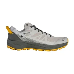 Shoes: Forsake Cascade. Forsake sponsored the film. I hiked 25-plus-mile days in them. Similar: Oboz Katabatic LT Low GTX (Amazon).
My current kit for what this trip needs.
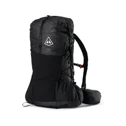 Pack: Hyperlite Mountain Gear Unbound 55 (Hyperlite)
 Tent: NEMO Hornet Elite OSMO 1P (Amazon)
 Sleeping bag: Hyperlite Mountain Gear 20° Mummy Bag (Hyperlite)
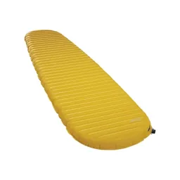 Sleeping pad: Therm-a-Rest NeoAir XLite NXT (Amazon)
 Puffy: Arc’teryx Cerium Hoody (Arc’teryx)
 Rain shell: Arc’teryx Beta AR Jacket (Arc’teryx). Afternoon thunderstorms are common in summer.
 Hat: PATH Projects Hoyt Merino Beanie (PATH Projects)
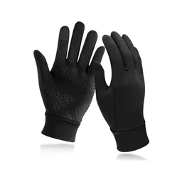 Gloves: Unigear Touchscreen Liner Gloves (Amazon)
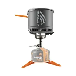 Stove: Jetboil Stash (Amazon)
 Water filter: Katadyn BeFree AC · 1L (Amazon)
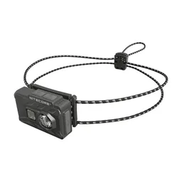 Headlamp: Nitecore NU20 Classic (Amazon)
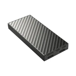 Power bank: Nitecore NB20000 (Amazon)
From my 2020 photos' camera data; see How I filmed it. Check the drone rules in Permits and rules before you fly.
Since September 2026 I film with a smaller setup: the Pocket 4 and the Mic 3 on the trail, and the Mini 5 Pro in the air.
 Camera: DJI Osmo Pocket 4 (Amazon)
 Mic: DJI Mic 3 · 1 TX + 1 RX (Amazon). It pairs with the Pocket 4.
 Drone: DJI Mini 5 Pro (Amazon)
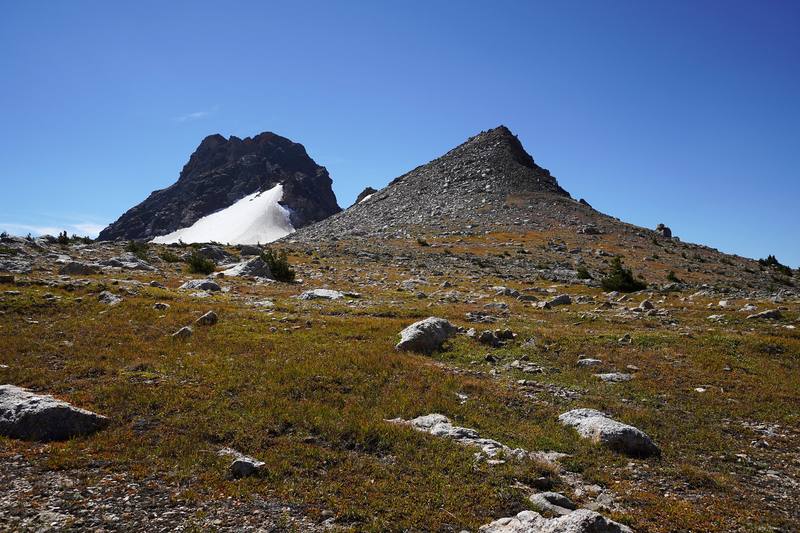
I started at String Lake at 7:47 in the morning and climbed Paintbrush Canyon in the early light. The canyon opens up into rock and scree near the top, and there was still a long snow patch to cross below the divide. I was on Paintbrush Divide at 11:32 and sat down for a long break at Lake Solitude, from about 12:50 to 1:38.
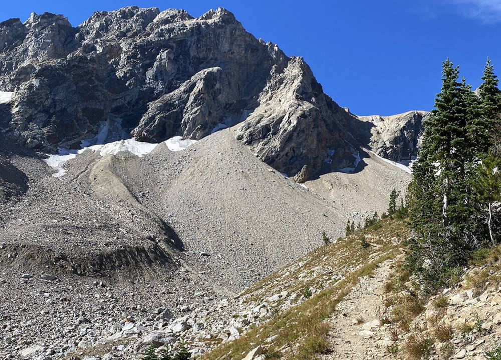
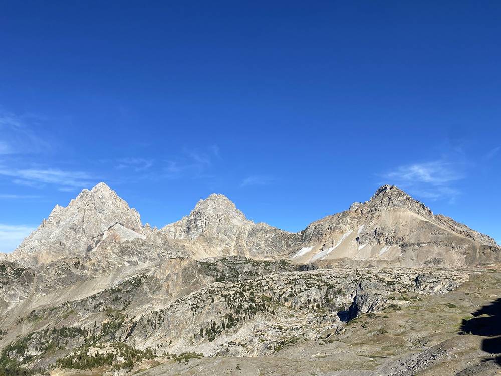
Then it's a long walk down the North Fork of Cascade Canyon with the Grand Teton straight ahead, past a waterfall to the Forks at 2:33, and back up the South Fork toward Hurricane Pass. Just below the pass I stopped for half an hour, then crossed Hurricane Pass at 6:15 with the Grand, Middle and South Teton right there on the other side of the valley. I came down into Alaska Basin and camped near Sunset Lake at 6:55, with a half dozen to a dozen other people camping in the basin.
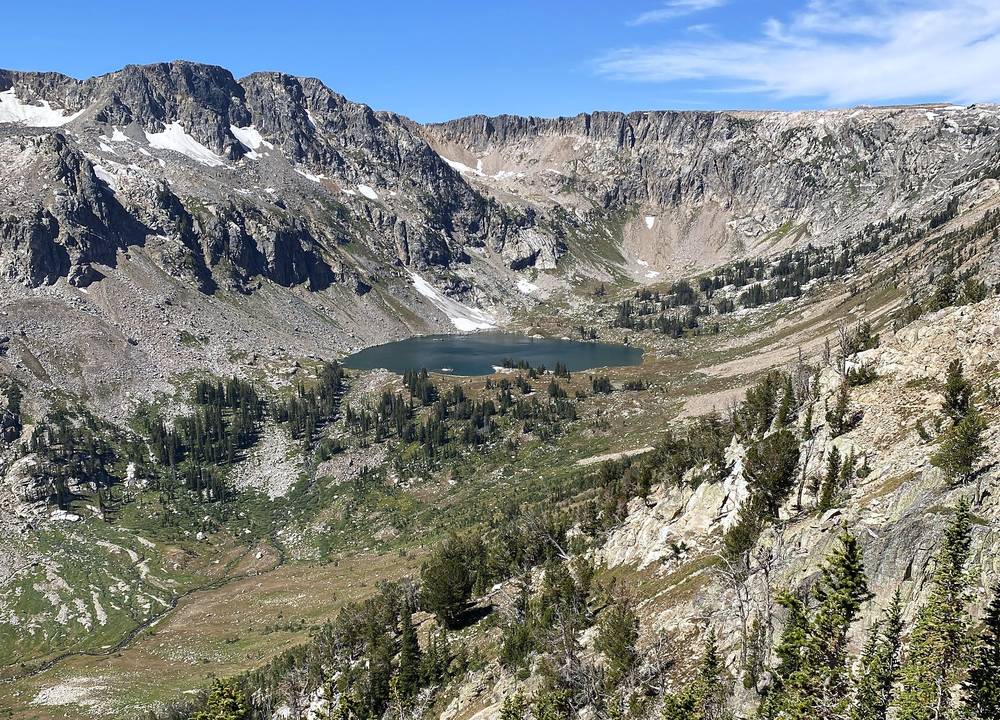
My times and heights are from my GPS.
String Lake to the Paintbrush Canyon junction: 1.7 miles, 7:47 to 8:19. From the south end of String Lake along the String Lake Loop Trail, over the outlet and along the west shore, to where the Paintbrush Canyon Trail turns up the canyon.
Up Paintbrush Canyon to the Holly Lake junction: 4.7 miles, 8:19 to 10:11. A steady climb from about 7,100 ft through forest and then open slopes to 9,130 ft. The Lower Paintbrush camping zone is on this stretch. The Holly Lake Trail splits off here and rejoins higher up; I stayed on the Paintbrush Canyon Trail.
To Paintbrush Divide: 2.5 miles, 10:11 to 11:32. Past the upper Holly Lake junction (7.5 miles, 9,720 ft) and the Upper Paintbrush zone, then switchbacks over scree to Paintbrush Divide, 10,680 ft by my GPS (the park says 10,700 ft), at 8.9 miles. Snow lingers below the divide into summer.
Down to Lake Solitude: 3.0 miles, 11:32 to about 12:50. Down the west side on the North Fork Cascade Canyon Trail to Lake Solitude, 9,035 ft on the park's map, at 11.9 miles. I stopped here for about 45 minutes.
Down the North Fork to the Forks: 2.8 miles, 1:38 to 2:33. Down the North Fork of Cascade Canyon, with the Grand Teton ahead, to the Forks at 7,850 ft (14.6 miles), where the North Fork and South Fork trails meet the main Cascade Canyon Trail. Turn up the South Fork. The Cascade Canyon Trail goes on down to Jenny Lake: that's the classic Teton Crest Trail finish.
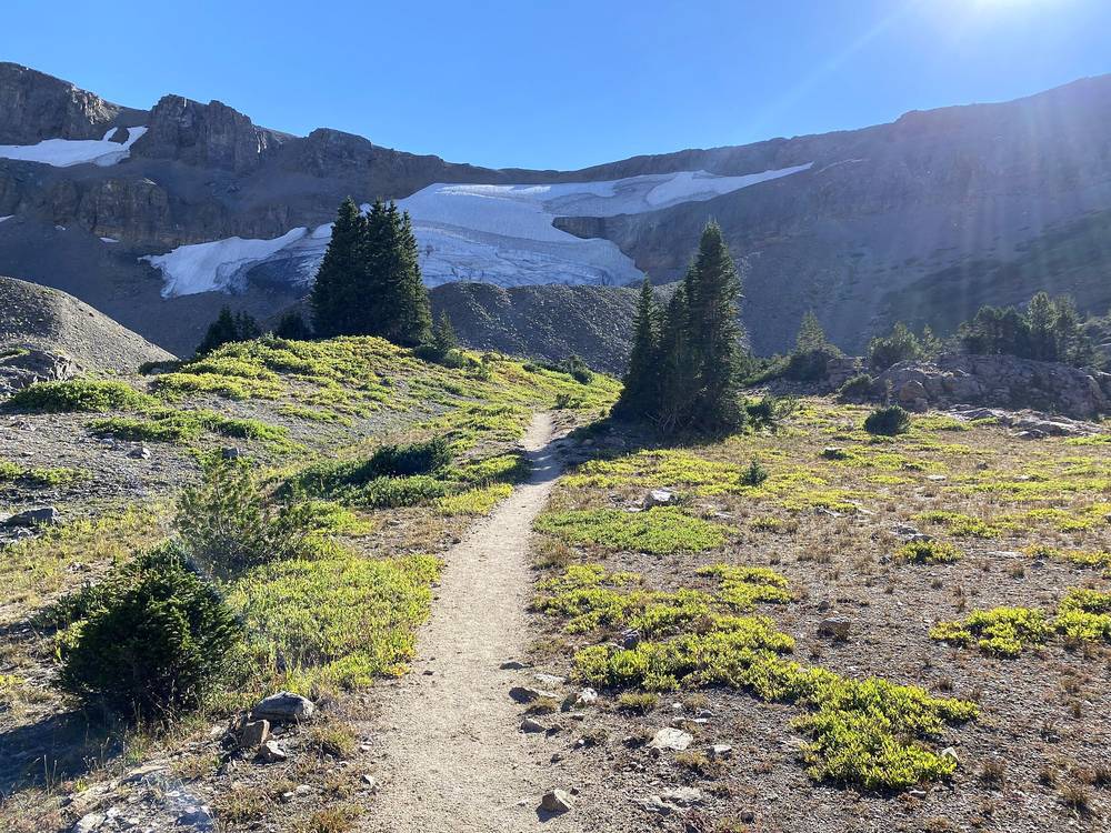
Up the South Fork to Hurricane Pass: 6.4 miles, 2:33 to 6:15. A long climb up the South Fork of Cascade Canyon, through the South Fork camping zone, past the Avalanche Divide Trail junction (19.1 miles, 9,620 ft; keep right) and up past snowfields and a glacier to the Teton Crest Trail junction just below the pass (20.6 miles). Hurricane Pass is at 21.0 miles, 10,530 ft by my GPS (the park says 10,400 ft). This is the park boundary.
Down into Alaska Basin: 1.6 miles, 6:15 to 6:55. On the Teton Crest Trail down into Alaska Basin to my camp near Sunset Lake at about 9,720 ft (22.7 miles), in the Jedediah Smith Wilderness. No camping within 200 feet of the lake, and no fires.
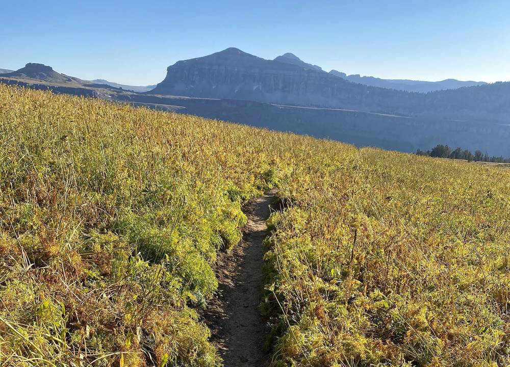
Back the way you came. From the Forks (mile 14.6), the Cascade Canyon Trail goes down the main canyon to Jenny Lake, to the west shore boat dock (in season) or around the lake on foot. From Alaska Basin, the Forest Service trail west down to Teton Canyon leads to Idaho, away from any car at String Lake.
Film, Day 1 · Starting at String Lake, in the talk part of my film
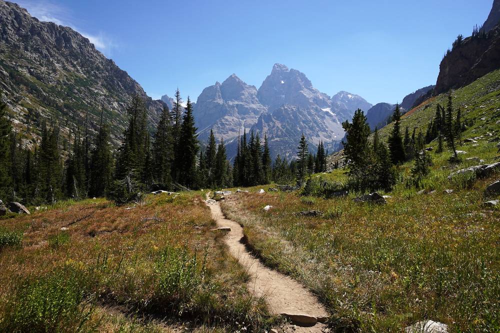
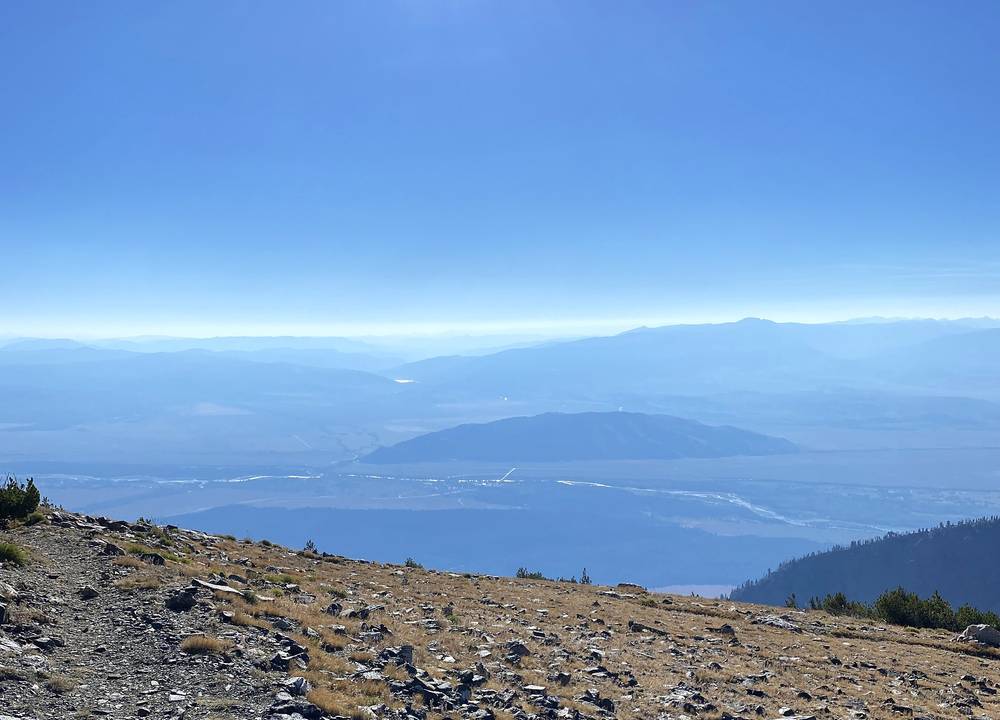
I left camp at 7:03 in the morning, walked through Alaska Basin past wildflowers and over Buck Mountain Pass at 8:41, and was on Static Peak Divide, the highest point of the loop, at 9:13, with all of Jackson Hole below. I stayed about half an hour.
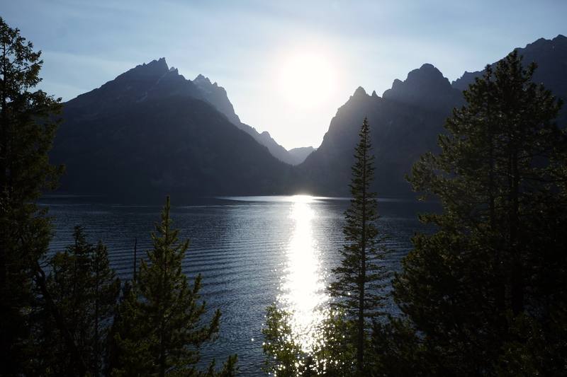
Then it's a long way down switchbacks into Death Canyon, past the patrol cabin, and out of the canyon above Phelps Lake. The last 10 miles of the Valley Trail were rough: flat, along the front of the range, and I was hungry and tired. My morale got boosted as soon as I got ice cream and a Powerade at the Jenny Lake visitor center store, which is a great little pit stop. Then Jenny Lake itself, which is beautiful, especially at sunset with the light coming right between that valley. There were people swimming, kayaking and just lounging, and I totally recommend you take a dip after a long hike. I was back at String Lake at 6:58 in the evening.
Alaska Basin to Buck Mountain Pass: 3.2 miles, 7:03 to 8:41. South on the Teton Crest Trail for 0.7 miles, then left (east) on the trail toward Buck Mountain Pass, across Alaska Basin and climbing to the pass at 10,500 ft by my GPS (the Forest Service says 10,480 ft).
Over Static Peak Divide: 1.1 miles, 8:41 to 9:13. Along the ridge to Static Peak Divide, 10,830 ft by my GPS (the park says 10,790 ft), at 4.3 miles. The park reported this divide "100% snow" as late as June 20, 2026, with an ice axe and crampons strongly advised.
Down into Death Canyon: 4.4 miles, 9:42 to 11:16. Long switchbacks down the Alaska Basin Trail to the Death Canyon Trail by the patrol cabin, 7,840 ft, at 8.7 miles. Turn left, down the canyon.
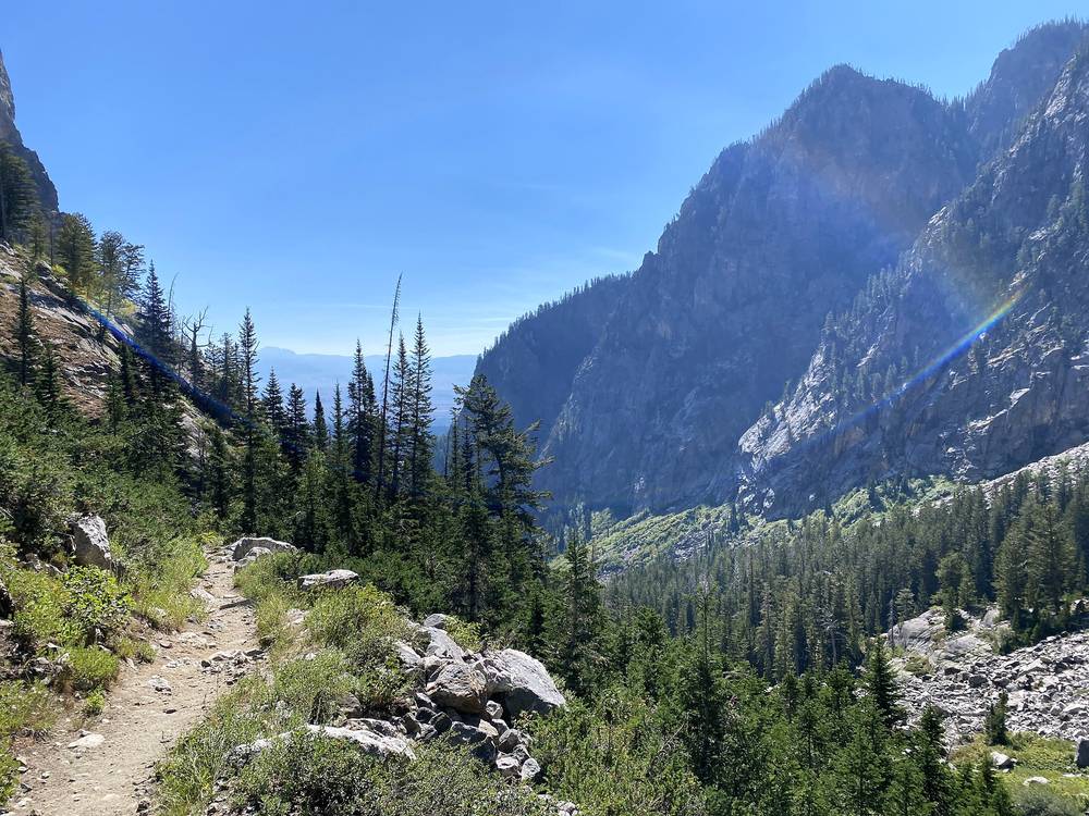
Death Canyon to the old Death Canyon Trailhead: 4.1 miles, 11:16 to 12:58. Down Death Canyon to the Valley Trail junction above Phelps Lake (11.1 miles; the low point of the loop, 6,710 ft, is just before it), then over the moraine past the Phelps Lake overlook and down to the old Death Canyon Trailhead at 12.8 miles. (Closed in 2026: the old trailhead is closed to all use during construction through June 2027. Ask a ranger which way to go north from Death Canyon: see The 2026 closures.)
North on the Valley Trail to Lupine Meadows: 9.3 miles, 12:58 to 4:54. The Valley Trail runs along the foot of the range through forest and meadows, past Taggart Lake (17.3 miles) and Bradley Lake (19.2 miles), past the Garnet Canyon junction (20.4 miles) and down to the Lupine Meadows Trailhead (22.1 miles). The north side of the Taggart Lake trail is closed during trail work in 2026.
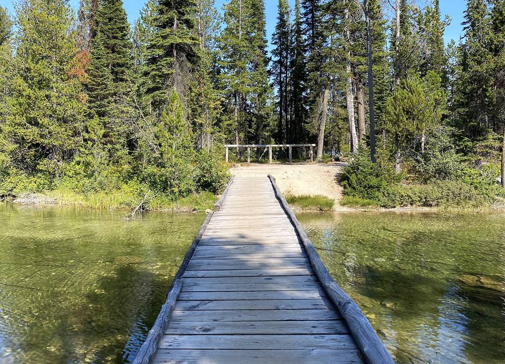
Lupine Meadows to String Lake: 5.5 miles, 4:54 to 6:58. To the Jenny Lake Visitor Center at South Jenny Lake (24.4 miles), then north along the east shore of Jenny Lake to the String Lake Trailhead at 27.6 miles.
From Alaska Basin, back over Hurricane Pass and down Cascade Canyon to Jenny Lake. Once you're down Death Canyon, the Valley Trail is the way out (while the old trailhead is closed, ask which way it's open: see The 2026 closures), and from Taggart Lake on there are trailheads every few miles (Bradley-Taggart, Lupine Meadows, South Jenny Lake).
Film, Day 2 · Jenny Lake and the final miles, in the talk part
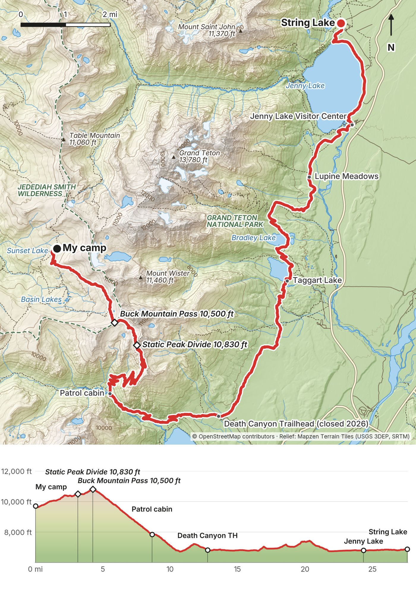
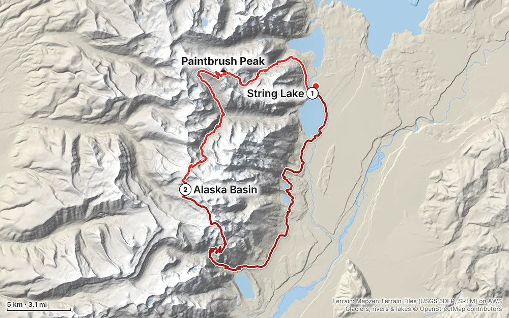
Elevation6,719–10,814 ft50.3 mi
Terrain: Mapzen Terrain Tiles (USGS 3DEP, SRTM) on AWS · Glaciers, rivers & lakes © OpenStreetMap contributors
Tap a map to open it full size.
From the park's backcountry pages and Recreation.gov, checked September 30, 2026.
From the Caribou-Targhee National Forest, checked September 30, 2026.
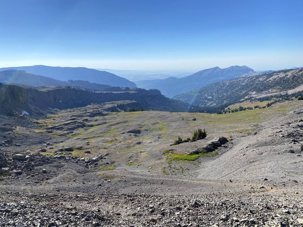
What I got. I hiked September 3 and 4, 2020, the Thursday and Friday before Labor Day: clear, cloudless skies both days, warm enough that I never needed my winter gear. There was still a long snow patch to cross below Paintbrush Divide.
The season. The park says backpacking the Tetons "is typically more enjoyable in August and September." Paintbrush Divide, Hurricane Pass and Static Peak Divide stay snowy into summer: the park says an ice axe, crampons and the ability to self-arrest are musts early in the season, and Recreation.gov says an ice axe may be needed "as late as August." In 2026 the park still reported snow patches on Paintbrush Divide on July 21 ("Ice axe and crampons advised").
Permits and services. The permit season runs May 1 to October 31. In 2026 the Jenny Lake Ranger Station closed September 7, the Jenny Lake boat stopped September 30, and the Craig Thomas Discovery and Visitor Center in Moose stays open to October 31. From November 1 the Teton Park Road is closed to cars from the Taggart Lake Trailhead to Signal Mountain Lodge, which cuts off String Lake and Jenny Lake until April 30.
Weather. The park: afternoon storms are common in summer, "snow and frost are possible any month," and September brings "sunny days and cold nights" with rain and occasional snowstorms. The passes are 4,000 ft above the valley, and the valley forecast doesn't fit them. The National Weather Service point forecast near Hurricane Pass: forecast.weather.gov (43.72, -110.85).
Fire. Stage 1 fire restrictions were in force in the park from July 22 to September 1, 2026. Campfires are never allowed in the park's mountain camping zones, and never in Alaska Basin.
Emergency: 911. Calls from the backcountry go to Teton Interagency Dispatch. For park information and ranger help, call 307-739-3399. Rescue is not a certainty, the park says, and cell coverage is spotty: carry a satellite messenger or a personal locator beacon.
Know yourself. "You just got to be prepared. You got to know yourself. If you can't do the mileage, don't try to do it. Always bring a little extra warmth ... extra food, and tell people where you are."
Passes and snow. Four passes above 10,000 ft. Early in the season expect steep snow on Paintbrush Divide, Hurricane Pass and Static Peak Divide; the park says an ice axe, crampons and self-arrest skills are musts then. I crossed a snow patch below Paintbrush Divide even in September.
Storms. Afternoon thunderstorms are common in summer. Be over the passes early, and stay off ridges and open ground in lightning.
Cold. Snow and frost are possible any month, the park says. I expected nights well into the 20s at 9,700 ft; in 2020 it was warmer than that, but don't count on it.
Bears. Black and grizzly bears live throughout the park. The park recommends carrying bear spray in all areas, where you can reach it, making noise, and staying 100 yards from bears. Store food in a canister.
Water. Treat all of it. Some high sections of the classic Teton Crest Trail (Fox Creek Pass, the Death Canyon Shelf) can be dry in late summer.
Going solo. I hiked alone. The park doesn't recommend it; if you do, leave your route and your return time with someone at home.
Is this the Teton Crest Trail? Its northern half. The classic trail comes up from Phillips Pass or the Teton Village tram in the south and meets my line in Alaska Basin; from there to String Lake, over Hurricane Pass and through Cascade Canyon, is the same country. My loop swaps the southern half for Paintbrush Canyon on the way in and Death Canyon and the Valley Trail on the way out. See Other ways to do it.
How many days do I need? I did it in two, and I pushed. I wouldn't recommend everyone do the exact route and itinerary I did, pushing all the way up into the wilderness and then looping back to the same point. It was a lot in two days, especially with that elevation gain. Four or five days with a park permit is the plan in Other ways to do it. The park itself advises against crossing more than one pass in a day, and I crossed two each day.
Is it hard? For two days, yes. A few months later I said the loop "was a bit ambitious to do in two days. I rushed that hike and I crushed miles because I was trying to get to the wilderness." It depends on how many hikes you've done and what kind of mileage you can do. If you can't do the mileage, don't try to do it. The hard parts are the four passes above 10,000 ft, and snow on them early in the season.
Do I need a permit? Every night you camp inside Grand Teton National Park needs a park backcountry permit ($20 a permit plus $7 a person a night in 2026). About a third can be reserved on Recreation.gov from early January; the rest are walk-up, in person, the day before. I wasn't able to get a backcountry permit to spend the night in the park. See Permits and rules.
So where did I sleep? In Alaska Basin, in the Jedediah Smith Wilderness, national forest land right next to the park. If you hike 20-plus miles up into that area, you can wild camp, follow their rules, and you don't need a permit, and the next morning you can hike right back through the park. Camping in the wilderness is definitely a game changer. In 2026 the park's pages still say a hiker camping only on Forest Service land needs no permit from either agency, but two things have to be sorted out first: the park lets you leave a car overnight at String Lake only with a backcountry permit, and the Recreation.gov permit page reads stricter than the park's own pages. See Camping.
Will it be crowded? There weren't too many people. Of course at the lakes there will almost always be people, like at Lake Solitude, and in Alaska Basin there were probably a half dozen to a dozen people camping there alongside me. The park says its camping zones on this route are full almost every night from late July through early September.
What was the weather like? I had clear, cloudless skies for both days. I was expecting the temperatures to drop well into the 20s at night, so I brought all my winter stuff, and ended up not needing it.
What's the worst part? The last 10 miles of the Valley Trail. It's kind of flat, going along the front of the range, and that was rough. I was hungry, I was tired and there weren't as many views, so my morale was down. It got boosted as soon as I got ice cream and a Powerade at the Jenny Lake visitor center store.
Is there phone signal? My record doesn't say. The park says cell coverage is spotty and unpredictable and suggests a satellite messenger.
Can I do it in 2026 or 2027? Yes, with two checks. The old Death Canyon Trailhead, which my Day 2 line passes, is closed to everyone, walkers included, during construction through June 2027, and the north side of the Taggart Lake trail is closed during trail work. Ask at a permit office which way the Valley Trail runs past them. See The 2026 closures.
What did it cost? Almost nothing on the trail: I had an annual parks pass, my night in Alaska Basin was free, and I car camped for free in the national forest. See What I paid.
I walked the two days in this guide. These are other ways to use it, and I didn't do them. The distances come from my GPS unless they're marked as the park's.
The same line, split at the park's camping zones:
For four days, finish from Alaska Basin to String Lake in one long day (27.6 miles, my Day 2). Book early: the zones on this route fill almost every night from late July to early September.
Two long day hikes through the park and one night on Forest Service land. As of September 2026 the park's pages still say you need no permit from either agency if all your nights are on Forest Service land. But the park only allows overnight parking at String Lake with a backcountry permit, and the Recreation.gov permit page says a permit is needed by anyone with overnight gear in the park's backcountry. Ask at a permit office before you plan it this way, and don't leave a car overnight at String Lake without a permit.
The park calls it a 39-mile point-to-point route, "starting outside the park at Phillips Pass and ending at String Lake," with over 9,000 ft of climbing (older park news releases say 45 miles). Many people start from the top of the Jackson Hole Aerial Tram at Teton Village instead (the park: 28.6 miles from the tram to String Lake; the tram runs May 16 to October 4 in 2026, from $67 a person). From the south it goes by Granite Canyon, Marion Lake, Fox Creek Pass, the Death Canyon Shelf and Mount Meek Pass into Alaska Basin, where it meets my line. From there it's my Day 1 backwards: over Hurricane Pass, down the South Fork to the Forks, and down Cascade Canyon to Jenny Lake or String Lake, or north over Paintbrush Divide and down Paintbrush Canyon. I haven't hiked the southern half. You need a way back from String Lake to your start: the park has no shuttle.
Checked September 30, 2026, on the park's current conditions, trail conditions and construction pages.
Death Canyon Trailhead. The park's conditions page (updated September 28, 2026) lists the Death Canyon Road and Trailhead as "Closed to all use." The construction page says the old trailhead "remains closed to all traffic, including pedestrians," for a project running from May 2026 to June 2027. The trailhead is moving about a mile, the old road will become an extension of the Valley Trail, and the park says hikes into Death Canyon "will be longer." My Day 2 line comes down Death Canyon, crosses the moraine above Phelps Lake and passes the old trailhead at mile 12.8 before heading north on the Valley Trail. The park's pages don't say whether that stretch of the Valley Trail is open while the work goes on. For backcountry trips the park points to Granite Canyon Trailhead or the Laurance S. Rockefeller Preserve instead.
Taggart Lake. The north part of the Taggart Lake Trail, from the first junction to the Bradley Lake Trail, is closed for trail work through November 15, 2026 (park news release). My line passes Taggart Lake on the Valley Trail at mile 17.3; ask which parts are open.
Moose-Wilson Road. Closed between the Laurance S. Rockefeller Preserve and Moose from September 8 to November 15, 2026. It isn't on the loop, but it's the road to the preserve and the Granite Canyon side.
What it means for you.
The hiking part of the film is silent: the sound is what the camera heard, with music. Most of the shots are on the tripod.
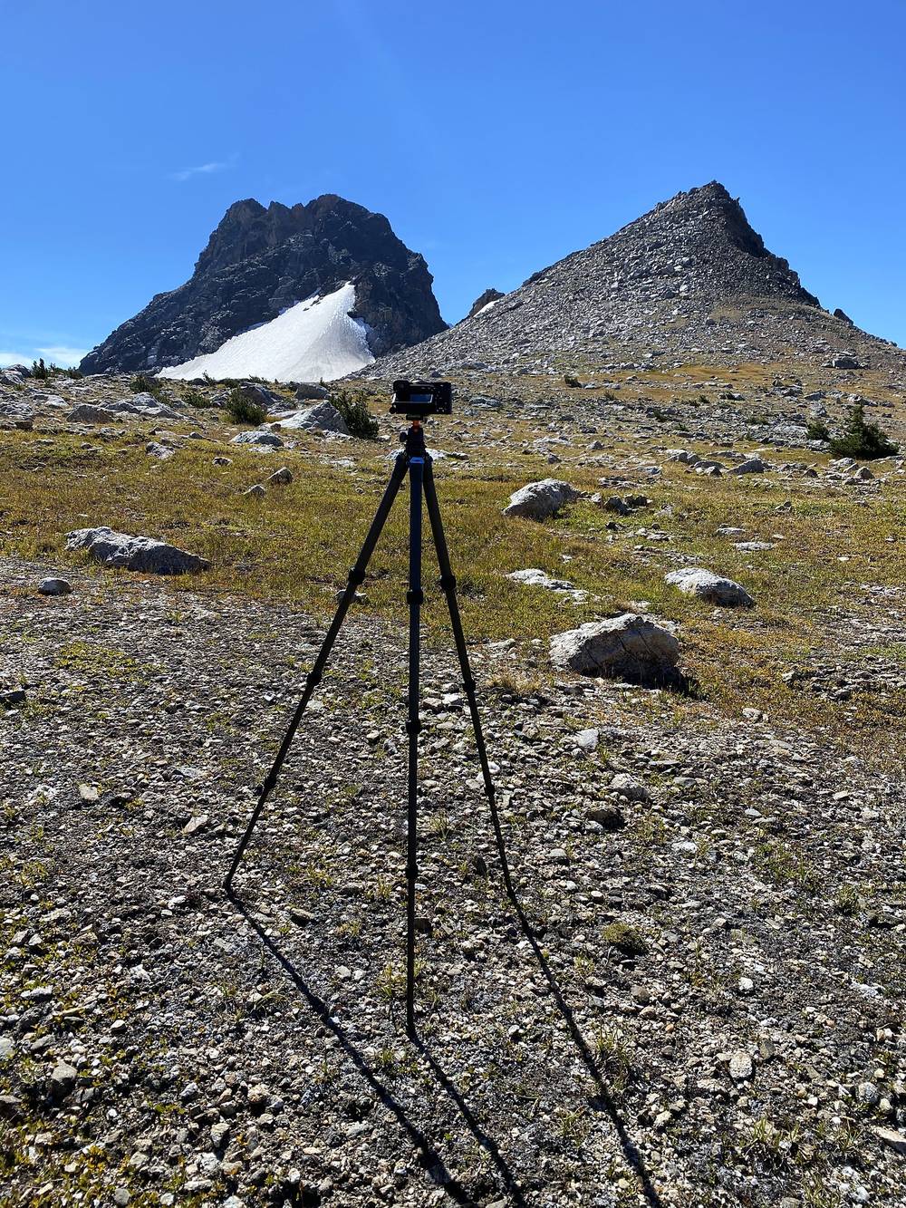
I didn't have a microphone on top for this one. I've been experimenting with the least amount of stuff I can use for these films, and ironically the onboard microphone on my Sony a6600 is very spatial: you can really tell where the sound is compared to the camera, which I think gives it a cool effect. The downside is the wind. There's no wind protection, and I had to practically mute almost half the clips in this film because the wind was just too much.
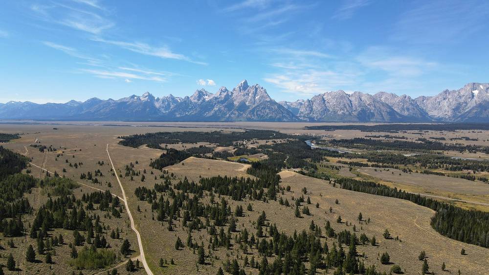
I had a couple of drone shots in the film, and all of them were legally outside the park, in the national forest, where it's okay to fly. Drones are not allowed anywhere in the park's backcountry. You're a little further from the mountain range out there, but it's still a good view.
I was snapping photos and writing down little notes as I went, and special thanks to anyone who stopped and said hi on the trail. It always makes my day.
These change every year. Everything else in this guide stays the same.
Permits and parking
Closures and trails
Season and weather
The film is at the top of this page.
When bookings open, from the sources named under each. Dates move: confirm on the official site.
About a third of permits can be reserved on recreation.gov from early January (January 7, 2026; January 10, 2024); the 2027 date wasn't announced. The rest are walk-up, in person, the day before.
Next: about Jan 7, 2027 (a typical date: confirm on the official site)
Book on recreation.gov.
Source: Kraig Adams's Teton Crest Trail guide: Permits and rules (checked Sept 30, 2026). Checked September 2026.
Planning questions about Teton Crest Trail, answered only from this page's facts, the creators' versions and hikers' public tracks, with where each answer comes from. When the data doesn't say, the answer says "not given".
From hikers
Sign in to comment. Free; your hikes stay private unless you share them.
Something wrong or missing on this page? Send feedback.