 Hiking Alone in the Grand Tetons

Kraig AdamsSep 3–4, 2020 · Solo
- Days
- 2 days
- Direction
- Loop from String Lake Trailhead, Grand Teton National Park, 6,880 ft
- Cost
- A park permit: $20 plus $7 a person a night inside the park
- Lodging
- Tent
North America · United States
Grand Teton National Park, Wyoming
Hikes / North America / Teton Crest Trail
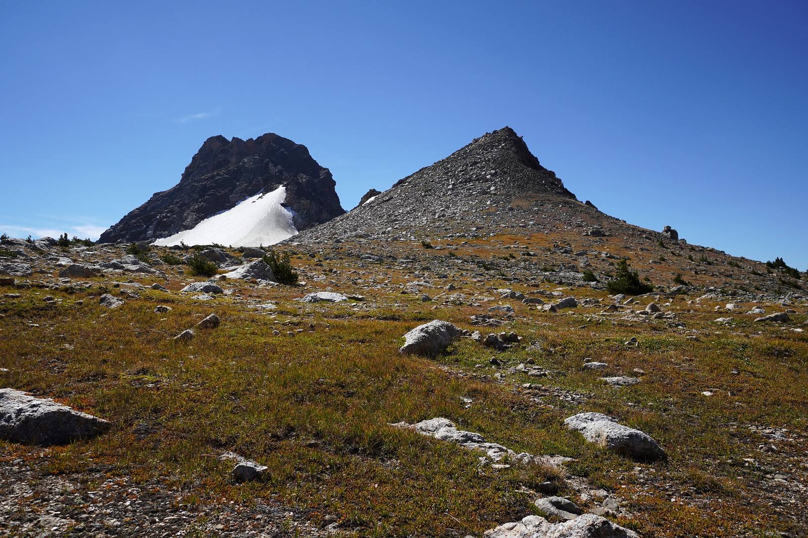
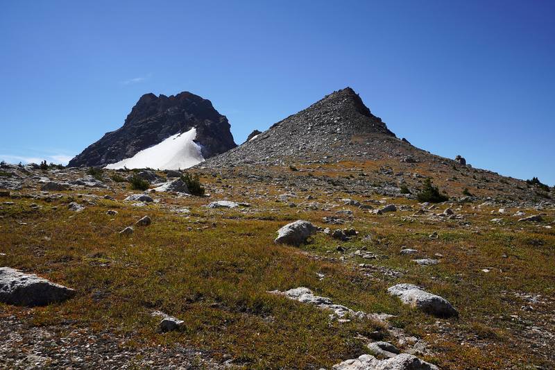
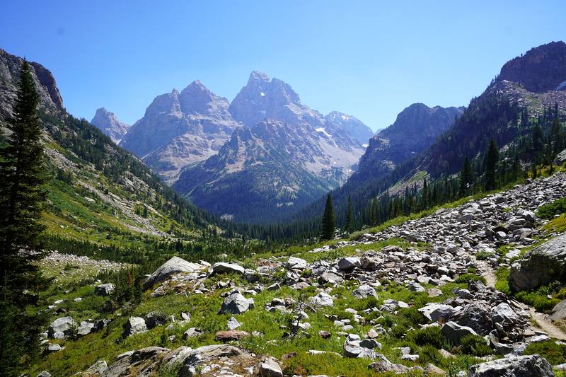
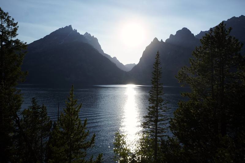
In September 2020 I hiked a 50-mile loop through Grand Teton National Park in Wyoming, alone, in two days. I started and finished at String Lake, climbed Paintbrush Canyon, went over Paintbrush Divide, past Lake Solitude and down the North Fork of Cascade Canyon, up the South Fork and over Hurricane Pass, and camped in Alaska Basin, just outside the park. The next day I crossed Buck Mountain Pass and Static Peak Divide, went down Death Canyon and walked back north along the foot of the range past Taggart, Bradley and Jenny lakes.
Kraig Adams
Effort at this pace: Very hard · about 25 mi (40 km) and 4,729 ft (1,442 m) of climbing a day over 2 days, up to 10,830 ft (3,301 m). Our grade for the days given, worked out from distance, climbing and altitude a day; it isn't the trail's usual difficulty rating (under Basics) and doesn't rate exposure, terrain or weather.
From Kraig Adams's GPS recording and guide.
From Kraig Adams's GPS

Elevation6,719–10,814 ft50.3 mi
From Kraig Adams's GPS. Terrain: Mapzen Terrain Tiles (USGS 3DEP, SRTM) on AWS · Glaciers, rivers & lakes © OpenStreetMap contributors
Tap a day for his map of it
The film
 Hiking Alone in the Grand Tetons
Before you go
From Kraig Adams's guide
Forsake Cascade · all my winter stuff, with an orange puffy jacket · a green backpacking tent · a Mountain House meal, a rice side, potatoes, beef jerky, peanut butter, a Kind bar, breakfast biscuits, two oranges and cashews · the AllTrails app · Hyperlite Mountain Gear Unbound 55 · NEMO Hornet Elite OSMO 1P · Hyperlite Mountain Gear 20° Mummy Bag and 18 more.
When bookings open, from the sources named under each. Dates move: confirm on the official site.
About a third of permits can be reserved on recreation.gov from early January (January 7, 2026; January 10, 2024); the 2027 date wasn't announced. The rest are walk-up, in person, the day before.
Next: about Jan 7, 2027 (a typical date: confirm on the official site)
Book on recreation.gov.
Source: Kraig Adams's Teton Crest Trail guide: Permits and rules (checked Sept 30, 2026). Checked September 2026.
From Kraig Adams's guide
From Kraig Adams's guide. For planning, not navigation: check before you go.
Their films and versions
1 creator so far: Kraig, 2 days, tent.
Hiking Alone in the Grand Tetons
Walked Teton Crest Trail? Be the first to share your track: log it with your GPX.
Sign in and log a few hikes to see how long this one would take you.
Typical: 2 days (the hike's facts).
Planning questions about Teton Crest Trail, answered only from this page's facts, the creators' versions and hikers' public tracks, with where each answer comes from. When the data doesn't say, the answer says "not given".
From hikers
Sign in to comment. Free; your hikes stay private unless you share them.
Answered from the data
I did the 50.3-mile loop in two days, and I pushed: it was a lot with that elevation gain. Four or five days with a park permit is the gentler plan. The park advises against crossing more than one pass in a day, and I crossed two each day.
From Kraig Adams's trip and guide.
Almost nothing on the trail: I had an annual parks pass, my night in Alaska Basin was free, and I car camped for free in the national forest. See what I paid.
From Kraig Adams's trip and guide.
The park says backpacking the Tetons is typically more enjoyable in August and September. Paintbrush Divide, Hurricane Pass and Static Peak Divide stay snowy into summer, and early in the season an ice axe and crampons are musts. I hiked September 3 and 4, 2020, and had clear skies both days.
From Kraig Adams's trip and guide.
Every night you camp inside Grand Teton National Park needs a backcountry permit, $20 a permit plus $7 a person a night in 2026. About a third can be reserved on Recreation.gov from early January; the rest are walk-up, in person, the day before. My one night was in Alaska Basin on national forest land, where no permit is needed, but the park only allows overnight parking at String Lake with a backcountry permit, so ask at a permit office first.
From Kraig Adams's trip and guide.
No, its northern half. My loop goes from String Lake over Paintbrush Divide and Hurricane Pass to Alaska Basin, then leaves the trail and comes back down Death Canyon and the Valley Trail. The full trail runs about 39 miles (the park's figure) from Phillips Pass to String Lake, and I haven't hiked the southern half.
From Kraig Adams's trip and guide.
Yes. The old Death Canyon Trailhead, which my Day 2 line passes at mile 12.8, is closed to all use, walkers included, during construction from May 2026 to June 2027. Day 1 isn't affected; ask at a permit office which way you can walk north from Death Canyon on the Valley Trail.
From Kraig Adams's trip and guide.