Follow the Hiker
Find my next hikeGearSavedKraig Adams
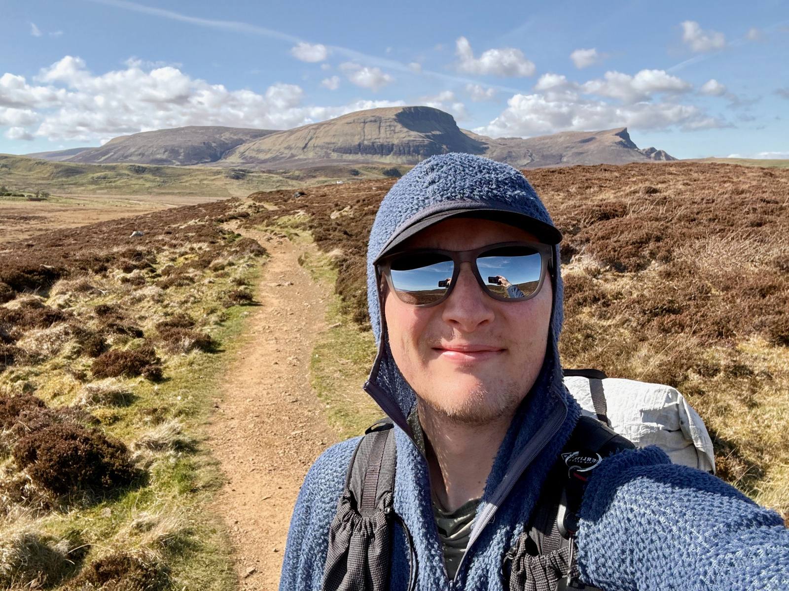
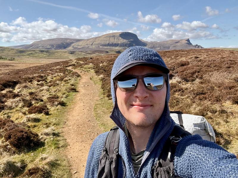
Me on Day 1, on the way out to Rubha Hunish.

Europe · United Kingdom

Skye Trail

Isle of Skye, Scotland

Distance
81.9 mi131.8 km
Days
4 days
Elevation gain
10,630 ft3,240 m
High point
2,093 ft638 m
Season
Late April to May, before the midges
Lodging
Tent
Plan this hike

Hikes / Europe / Skye Trail

I hiked about 80 miles alone on the Skye Trail in Scotland, from April 28 to May 1, 2026. I started near Rubha Hunish at the northern tip of the Isle of Skye, walked the whole Trotternish ridge past the Old Man of Storr, came down to Portree, went through Glen Sligachan below the Cuillin, and finished in Broadford. I wild camped three nights: above Flodigarry, on a ridge north of Portree, and on a beach near Elgol.

Kraig Adams

Effort at this pace: Very hard · about 20 mi (33 km) and 2,657 ft (810 m) of climbing a day over 4 days, up to 2,093 ft (638 m). Our grade for the days given, worked out from distance, climbing and altitude a day; it isn't the trail's usual difficulty rating (under Basics) and doesn't rate exposure, terrain or weather.

Where these numbers come from

From Kraig Adams's GPS recording and guide.

Plan this hikeSave this hike

Plan: dates, gear, deadlines and stays in a private link. Save: keeps it on your account.

From Kraig Adams's GPS

The route, day by day

Relief map of the Skye Trail route: 4 days drawn in red with numbered day starts, labelled Shulista, Broadford, Flodigarry, The Storr, Portree and Elgol.

Elevation0–2,106 ft81.9 mi

From Kraig Adams's GPS. Terrain: Mapzen Terrain Tiles (EU-DEM, SRTM) on AWS · Rivers & lakes © OpenStreetMap contributors

Tap a day for his map of it

  • Read day 1
  • Read day 2
  • Read day 3
  • Read day 4

The film

Watch it first

Hiking 80 Miles Alone on the Skye Trail in Scotland

Kraig Adams · Apr 28 – May 1, 2026 · Solo

Me on Day 1, on the way out to Rubha Hunish.
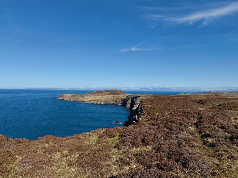
The cliffs above Rubha Hunish from near the Lookout.
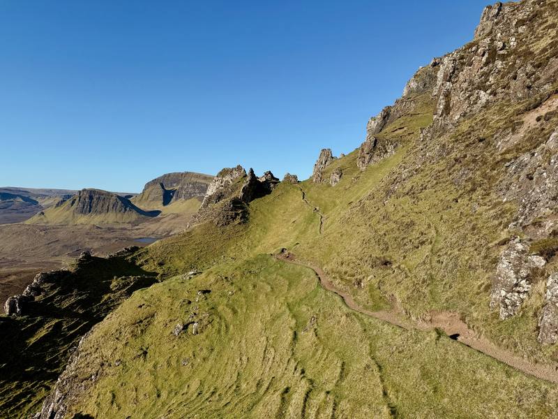
The Quiraing on the morning of Day 2.
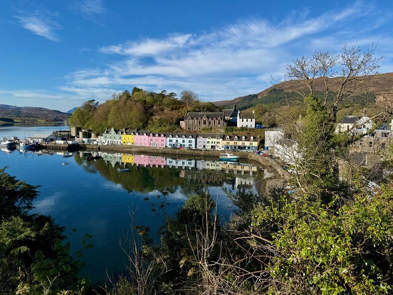
Portree harbor in the morning.
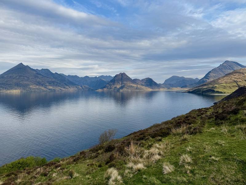
Loch Scavaig and the Cuillin on the way to Elgol.

Before you go

The basics

Start
Shulista road end parking near Duntulm, a short walk from Rubha Hunish
Finish
Broadford
Usual difficulty
Cicerone calls it a challenging backpacking route. It has no waymarks, a long high ridge with little water, remote glens, road walking and fast-changing weather
Best time
Late April to May, before the midges (late May to early September). June to September also work, with midges
Permits
Scotland's access rights let you walk and wild camp on most land if you act responsibly: a lightweight tent, small numbers, no more than two or three nights in one place. Byelaws restrict camping in some areas (as of Nov 2026)
Getting there
I flew into Inverness and rented a car for the whole trip. It cost $160 total. Being in the UK, I had to drive on the left-hand side and remind myself every single time I touched the steering wheel. It wasn't my first time driving on the opposite side, so it wasn't an issue. You just have to slow down and be more defensive.
Nearest airport: Inverness (INV)
Lodging
Tent

From Kraig Adams's guide

Costs and gear

What Kraig carried

Not given

The full gear list

From Kraig Adams's guide

Safety

Rescue numbers

  • Emergency texts. If your signal is too weak to call, you can text 999, but only if you've registered first. To register, text the word register to 999 and follow the instructions in the reply. It takes two minutes. Do it before you go.

Phone signal

  • Sometimes.
  • People were messaging me on Instagram during the hike, but mobile reception in the Highlands is often patchy or non-existent.

Insurance

  • NHS Scotland can charge overseas visitors for hospital treatment.
  • Get health travel insurance that covers your whole stay, and repatriation.

Bail-out points

  • Day 1, Shulista road end to Flodigarry. The whole day stays close to the A855 road, which the 57A and 57C buses use. You can walk inland to the road almost anywhere and catch a bus back to Portree, or stay at Flodigarry.
  • Day 2, The Trotternish ridge and the Storr. The A855 runs parallel to the ridge, below it on the east side. The road crossing near the Quiraing is the clear exit early on. Further south, dropping east means steep ground and cliffs in places, so study your map before you commit, and only come down where it's clearly safe. The Old Man of Storr car park is on the road and the 57A and 57C buses stop there.
  • Day 3, Portree, Sligachan and Glen Sligachan. Portree has buses in every direction. Sligachan is on the main road, where Citylink 917 stops outside the hotel. Once you're in Glen Sligachan, you're committed: it's a long walk forward or back. From Camasunary a track leads east over the hill to the Elgol road at Kilmarie.
  • Day 4, Elgol and Torrin to Broadford. Stagecoach bus 55 runs between Elgol, Torrin and Broadford, Monday to Friday only. In September 2026 it left Elgol for Broadford at 8:07, 13:12 and 16:31. From Torrin you can also just walk the road to Broadford like I did.

From Kraig Adams's guide. For planning, not navigation: check before you go.

Their films and versions

Creators who've done it

1 creator so far: Kraig, 4 days, tent.

Walked Skye Trail? Be the first to share your track: log it with your GPX.

Your time

Sign in and log a few hikes to see how long this one would take you.

Typical: 4 days (the hike's facts).

Ask this hike

Planning questions about Skye Trail, answered only from this page's facts, the creators' versions and hikers' public tracks, with where each answer comes from. When the data doesn't say, the answer says "not given".

    From hikers

    Comments

    Sign in to comment. Free; your hikes stay private unless you share them.

    Answered from the data

    Questions people ask

    How many days do you need for Skye Trail?

    I did it in four, and the first was really a half day. Most people take about a week: the Cicerone guidebook splits the Skye Trail into seven stages.

    From Kraig Adams's trip and guide.

    How much does Skye Trail cost?

    These are the costs I mentioned in the film. I didn't track the rest.

    From Kraig Adams's trip and guide.

    When is the best time to hike Skye Trail?

    Late April to May, before the midges come out from late May to early September. I went April 28 to May 1, 2026 and had dry weather, but it's usually a wet hike with rain and fog.

    From Kraig Adams's trip and guide.

    Where do you sleep on the Skye Trail?

    Mostly in a tent. Scotland allows responsible wild camping under the Scottish Outdoor Access Code, and I camped three nights. There are beds in Portree, a campsite and hotel at Sligachan, more in Broadford, and two free bothies on the route.

    From Kraig Adams's trip and guide.

    Can you hike the Skye Trail without a car?

    Yes. Citylink bus 917 runs from Inverness to Portree, and Stagecoach buses 57A and 57C loop around the north of Skye past the start at the Shulista road end. From Broadford, the 917 goes back to Portree and Inverness.

    From Kraig Adams's trip and guide.

    Is the Skye Trail waymarked?

    No. It's an unofficial route with no signs or waymarks of its own. You follow paths, open ridge and glen, and roads, so carry GPX files, offline maps and a paper map and compass.

    From Kraig Adams's trip and guide.

    Plan this hikeThe route