 Hiking to Saxer Lücke in Switzerland

Kraig AdamsSep 2024 · Solo
- Days
- 2 days
- Cost
- Train from St
- Lodging
- Huts
Europe · Switzerland
Appenzell, Switzerland
Hikes / Europe / Alpstein and the Saxer Lücke
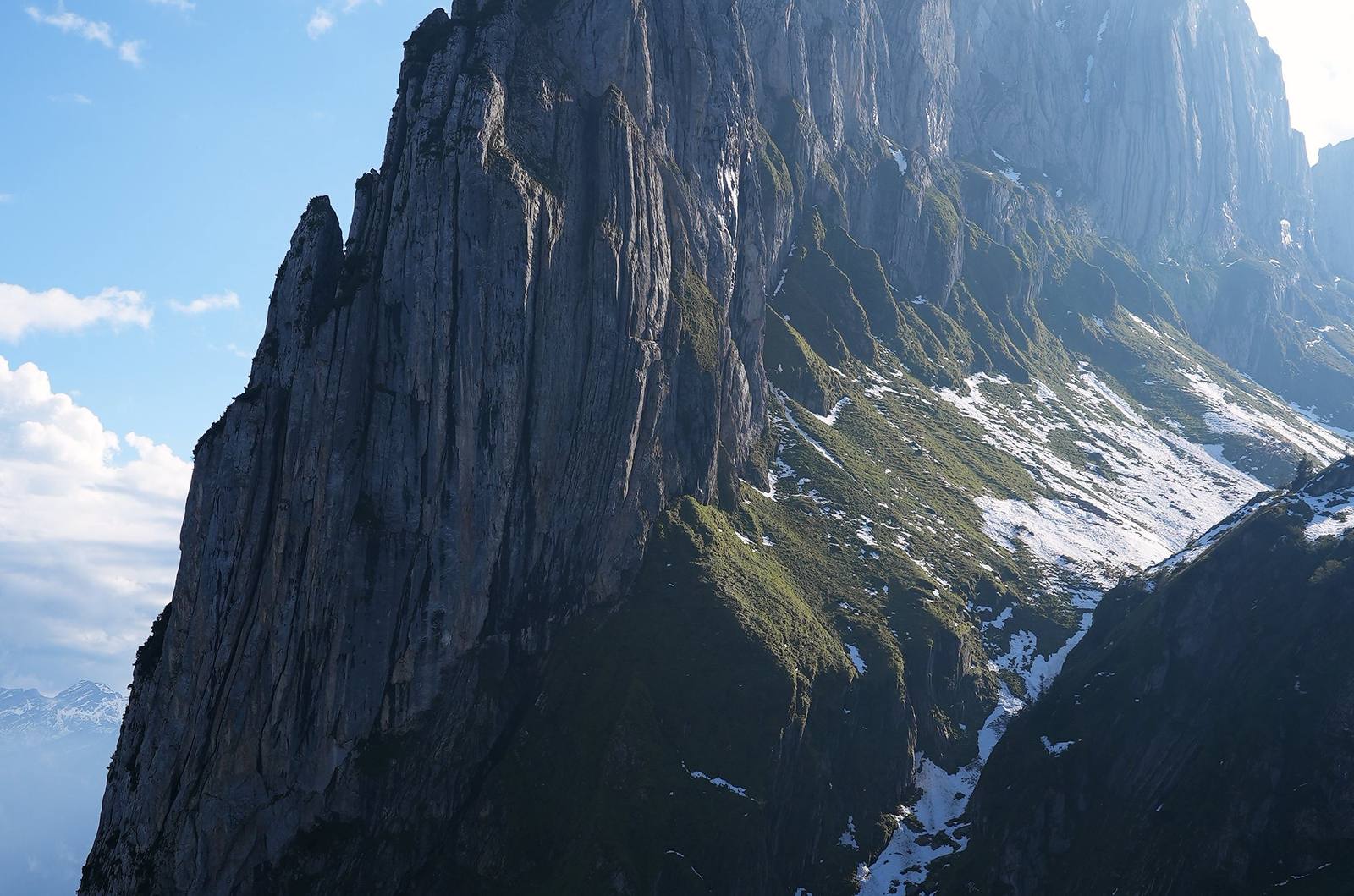
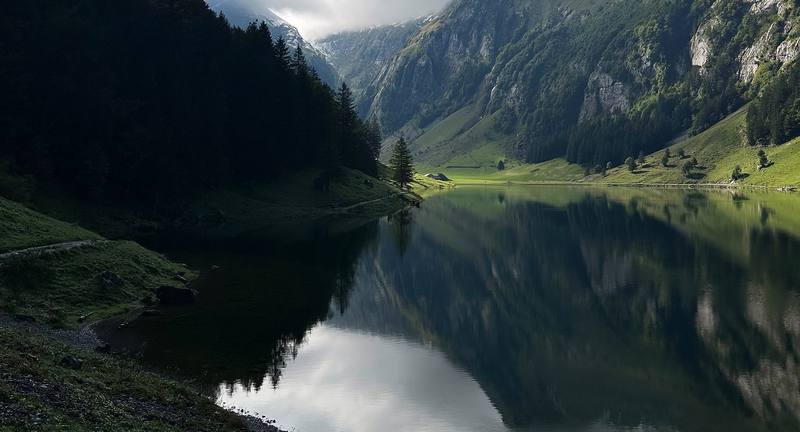
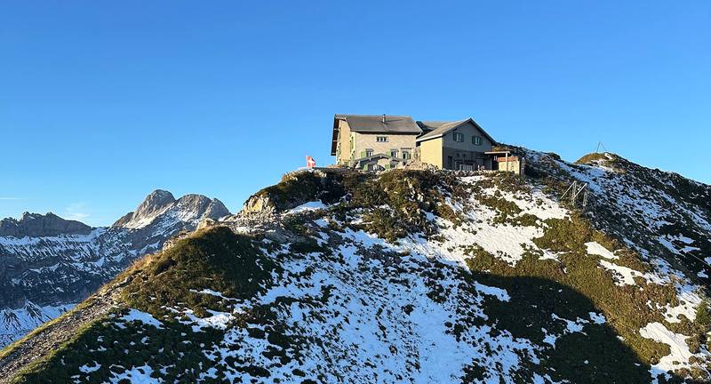
In September 2024 I spent two days hiking in the Alpstein, the mountains of Appenzell in northeast Switzerland. I went up from Wasserauen past the Seealpsee and the Aescher, the inn built into the cliff, to a night at the Berggasthaus Schäfler on its ridge. The next day I walked past Mesmer, the Seealpsee again and Meglisalp, over the Widderalpsattel to Bollenwees on the Fälensee, up to the Saxer Lücke, and along the Stauberen ridge to the cable car at Staubern. Two days, about 20 miles by my GPS. It's the trip from my film Hiking to Saxer Lücke in Switzerland.
Kraig Adams
Effort at this pace: Hard · about 10 mi (16 km) and 3,868 ft (1,179 m) of climbing a day over 2 days, up to 6,188 ft (1,886 m). Our grade for the days given, worked out from distance, climbing and altitude a day; it isn't the trail's usual difficulty rating (under Basics) and doesn't rate exposure, terrain or weather.
From Kraig Adams's GPS recording and guide.
From Kraig Adams's GPS

Elevation2,848–6,188 ft19.7 mi
From Kraig Adams's GPS. Terrain: Mapzen Terrain Tiles (EU-DEM, SRTM) on AWS · Glaciers, rivers & lakes © OpenStreetMap contributors
Tap a day for his map of it
The film
 Hiking to Saxer Lücke in Switzerland
Before you go
From Kraig Adams's guide
my backpack · Arc’teryx Cerium Hoody · Crocs Classic Clog · my tent and sleeping gear · Holafly eSIM · Naturehike ZY20 Sleeping Bag Liner · Hyperlite Mountain Gear Waypoint 35 · Black Diamond Alpine Carbon Z Poles and 16 more.
From Kraig Adams's guide
From Kraig Adams's guide. For planning, not navigation: check before you go.
Their films and versions
1 creator so far: Kraig, 2 days, huts.
Hiking to Saxer Lücke in Switzerland
Walked Alpstein and the Saxer Lücke? Be the first to share your track: log it with your GPX.
Sign in and log a few hikes to see how long this one would take you.
Typical: 2 days (the hike's facts).
Planning questions about Alpstein and the Saxer Lücke, answered only from this page's facts, the creators' versions and hikers' public tracks, with where each answer comes from. When the data doesn't say, the answer says "not given".
From hikers
Sign in to comment. Free; your hikes stay private unless you share them.
Answered from the data
I did it in two, with one night at the Schäfler. If you don't want to go back down to the Seealpsee as I did, you can do it in two shorter days, or spread it over three with a night at Bollenwees or Meglisalp. See Other ways to do it.
From Kraig Adams's trip and guide.
Train from St. Gallen to Wasserauen CHF 12.60; from Zürich CHF 41 (Supersaver from CHF 30.80). The Ebenalp cable car CHF 24 one way. The Staubern cable car CHF 20 one way. Meglisalp's dorm with half board CHF 90; Bollenwees's dorm CHF 50 to 60, with breakfast. Tourist tax CHF 2.50 a night. Parking at Wasserauen up to CHF 15.75 for 24 hours.
From Kraig Adams's trip and guide.
The high trails have their season from about the end of June to October, and the inns open from about May to early November. I went in mid-September, a few days after an early snowstorm left snow on the high passes. Summer has the most rain and thunderstorms; September and October are drier.
From Kraig Adams's trip and guide.
No. You pay for the cable cars and book the inns.
From Kraig Adams's trip and guide.
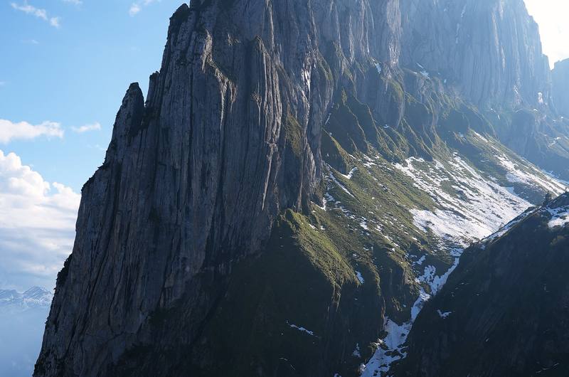
The Saxer Lücke is a gap in the Alpstein ridge above the Fälensee, on the border between Appenzell Innerrhoden and St. Gallen. I reached it on the second day of a 2-day hike from Wasserauen, up from Berggasthaus Bollenwees at the east end of the Fälensee: 26 minutes and about 590 ft of climbing (the signpost says 35 minutes). From the gap a ridge trail runs northeast to Staubern, where a cable car goes down to Frümsen in the Rhine valley.
From Kraig Adams's trip and guide.
My route was 19.7 miles (31.7 km) over two days, with about 7,740 ft of climbing: 7.1 miles on Day 1 from Wasserauen past the Seealpsee, the Aescher and Ebenalp to the Berggasthaus Schäfler, and 12.6 miles on Day 2 past Mesmer, the Seealpsee again and Meglisalp, over the Widderalpsattel to Bollenwees, the Saxer Lücke and Staubern.
From Kraig Adams's trip and guide.
Yes. In October 2026 the official Swiss closures map showed nothing on the route, and Appenzell tourism's trail report said the trails were in very good condition. A rockfall warning was posted above the Seealpsee in September 2026. Most of the mountain inns are open from May to about November 1.
From Kraig Adams's trip and guide.
No. Appenzell tourism says wild camping isn't allowed in the Alpstein, the canton is drafting a law that would allow a bivouac only with the landowner's permission, and the St. Gallen side says wild camping up high isn't wanted. Sleep in one of the mountain inns, such as Bollenwees, Meglisalp or Staubern.
From Kraig Adams's trip and guide.
Walk northeast along the ridge to the Berggasthaus Staubern and take the Staubern cable car down to Frümsen; in 2026 it ran daily until 10 p.m. from May to October, CHF 20 one way. Bus 411 runs hourly from Frümsen to the trains, about 1.5 hours to St. Gallen. Or walk back down to Bollenwees and on to Brülisau.
From Kraig Adams's trip and guide.