Content made there

Photos
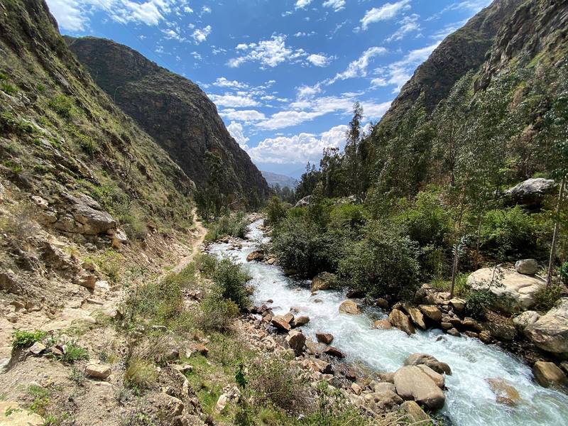
Hikes / Santa Cruz Trek / Kraig Adams's version
South America · Peru
Nov 2019 · 3 days · about 30 miles · Solo · Tent

In November 2019 I flew to Peru and hiked the Santa Cruz Trek alone: three days and about 30 miles through the Cordillera Blanca, from Vaquería over the Punta Unión pass to Cashapampa, with a tent and no stove. It's the trip from my film Hiking 30 miles on the Santa Cruz Trek in Peru.
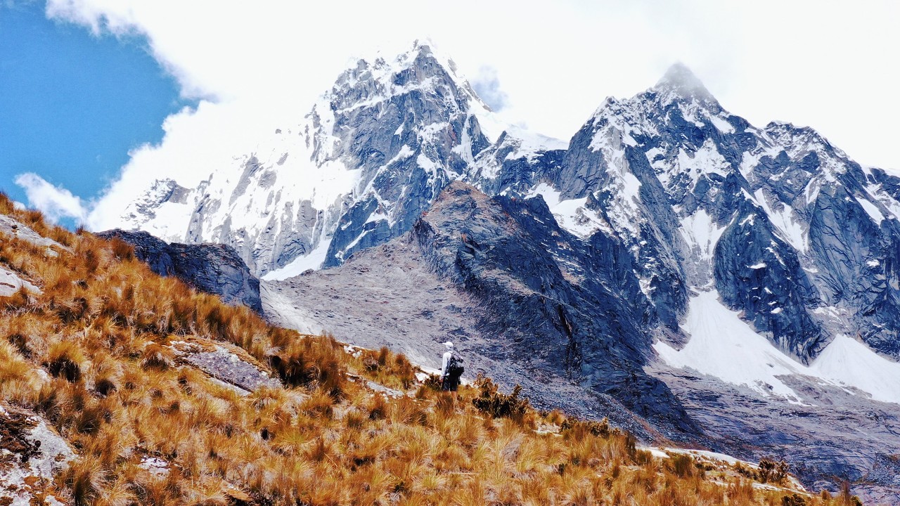
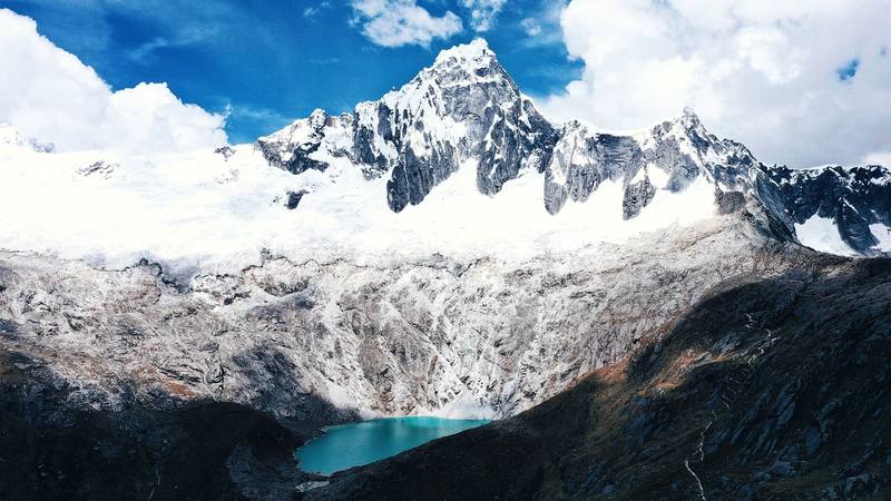
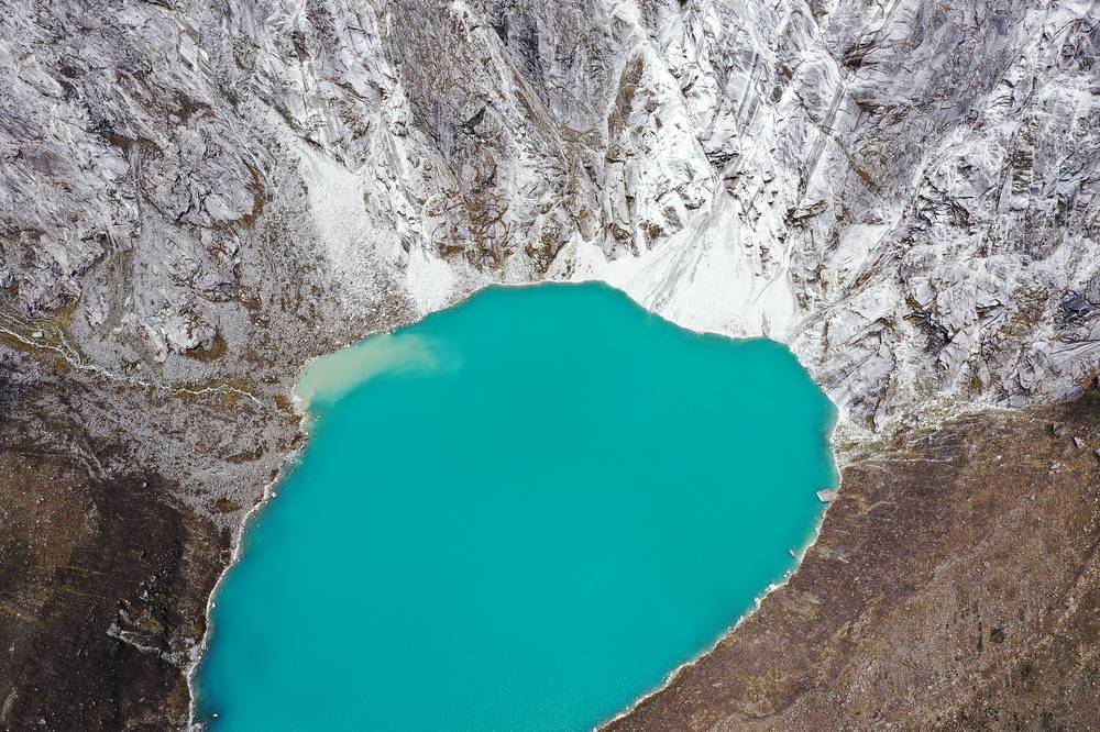
The reason to come is the pass. Coming over Punta Unión, you look down on a turquoise glacier lake with white snowy mountains all around you. It's an amazing, once-in-a-lifetime view. Stay up there as long as you can, and pray for good weather like I had.
| Quick facts | |
|---|---|
| Distance | 31.0 miles (49.9 km) over 3 days, one way |
| Climbing | about 5,500 ft (1,680 m) up and 7,870 ft (2,400 m) down |
| Days | 3 walking days, 2 nights in my tent. The park calls it 3 to 4 days |
| Start | Vaquería, on the road from Yungay to Yanama, 12,060 ft (3,676 m) |
| Finish | Cashapampa, at the end of the road from Caraz, 9,630 ft (2,935 m) |
| High point | Punta Unión, usually given as 15,580 ft (4,750 m); my GPS read 15,535 ft (4,735 m), Day 2 |
| When | The dry season, May to October. I walked November 12 to 14, 2019 |
| Difficulty | A clear path, but high: two nights above 12,000 ft and a pass near 15,600 ft |
| Base | Huaraz, about 10,000 ft (3,050 m), 7 to 8 hours by bus from Lima |
| Ticket (2026) | S/60 valid 2 to 3 days, S/150 valid 4 to 30 days (general rate) |
| Trip | Solo, no guide, no mules, no stove |
| Day | Route | Miles (km) | Up / down (ft) | Sleep |
|---|---|---|---|---|
| 1 | Vaquería to Huaripampa | 4.4 (7.0) | 909 / 861 | Campsite above the Huaripampa control post, 12,070 ft |
| 2 | Huaripampa over Punta Unión to Taullipampa | 11.2 (18.0) | 3,606 / 1,956 | Taullipampa, 13,730 ft |
| 3 | Taullipampa to Cashapampa | 15.5 (24.9) | 990 / 5,057 | Huaraz |
The numbers come from my own GPS recordings, smoothed the same way for every day. In the film and its description I called it 30 miles, with 5 miles on Day 1 and 16 on Day 3; my GPS says 31.0 miles in all. Apps count climbing differently: AllTrails shows about 6,500 ft for my three days.
What I did. I flew from New York to Lima. One thing to know: you may need a confirmed return. Before I could board, the airline asked for that information. I'd booked a one-way to Peru, so right before I got to the check-in desk, I bought a refundable one-way ticket from Lima to somewhere. I arrived in Lima super late and took a taxi to a hostel I'd stayed at before.
I woke up early and headed north to Huaraz, a 7-hour bus ride. I think I paid about $10 for a luxury bus seat that reclines, with hot food, right up in the front. That side of Peru is very desert-like, which is interesting.
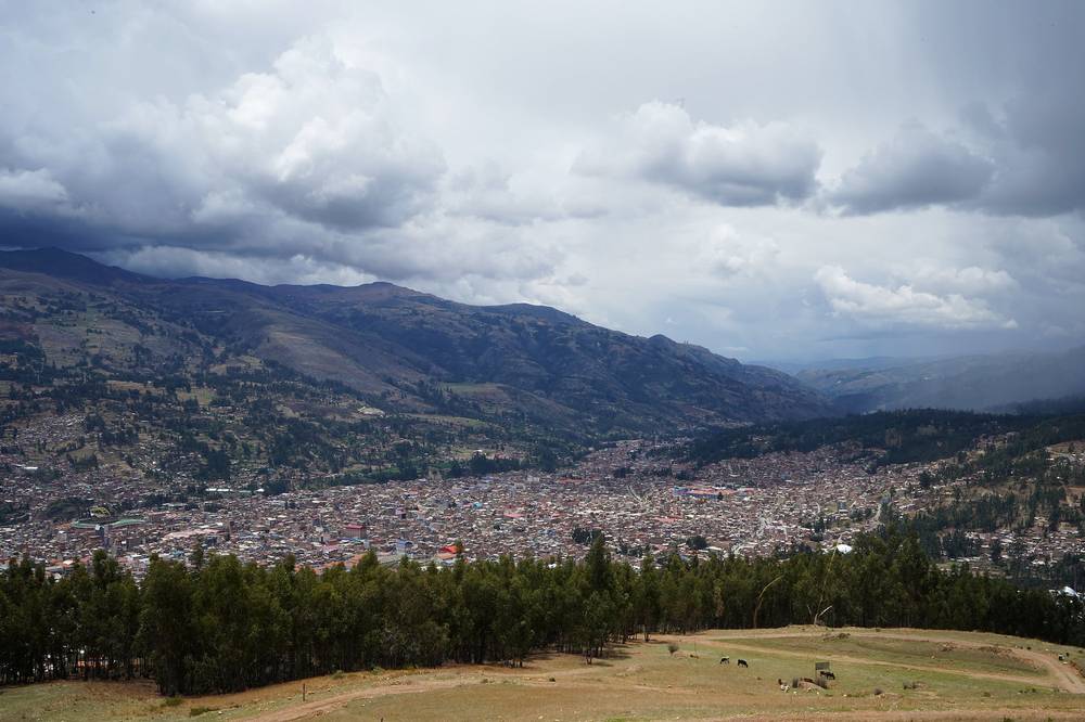
Huaraz is known as the trekking capital of Peru. I spent a couple of days there getting used to the altitude: food, tea, coffee, a walk on the hills above town, and groceries at the market, where everything is super cheap. Then I took a colectivo, pretty much a bus with a bunch of people smooshed into it, about an hour and a half to Yungay. It was very cheap. Yungay is a very small town, but it had hostels, restaurants and a market for groceries. I stopped at a hostel there because I had an extra bag with clothes, my laptop and things I didn't want on the hike. I tipped them a couple of dollars and they were happy to store it for me.
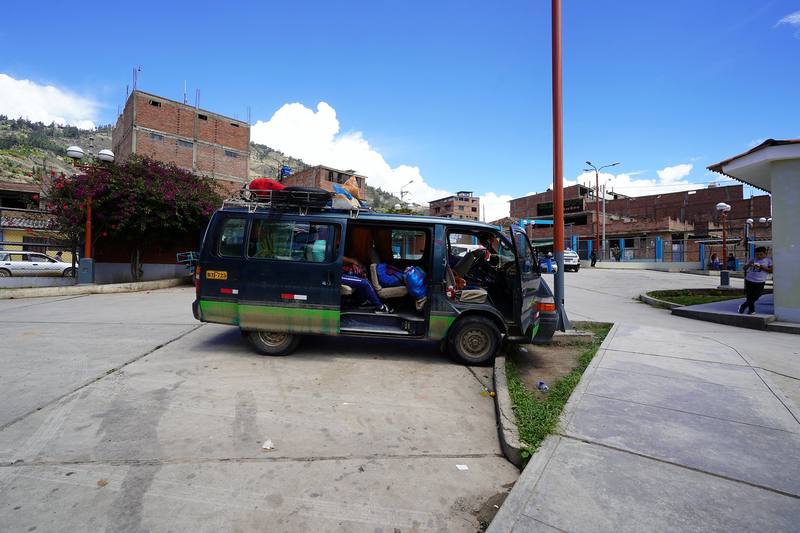
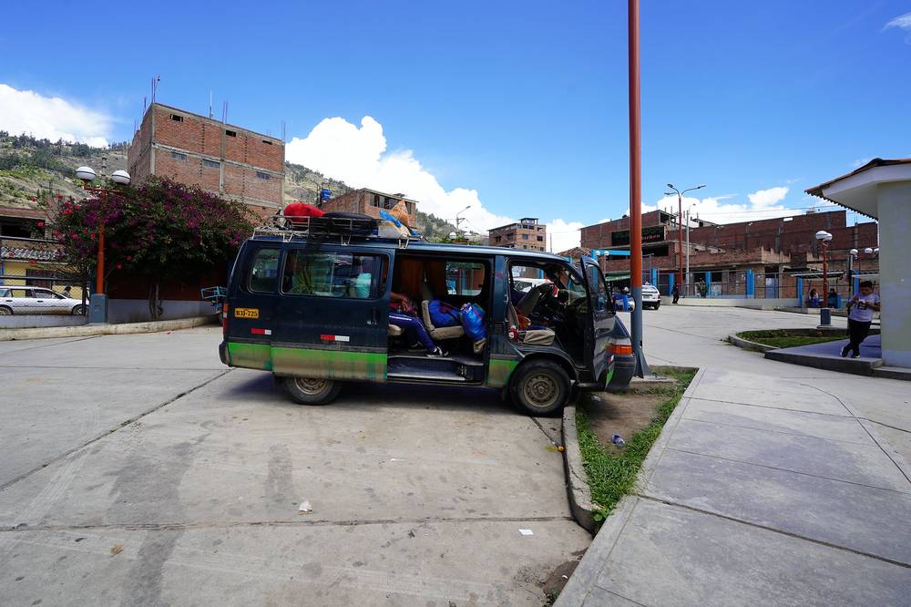
From the bus terminal in Yungay, two shuttles went up to the trailhead each day. Again very cheap, though I think I paid a little extra because they knew I was a tourist. It was a 2-hour ride, packed, with stuff on my lap from the people next to me, zigzagging up and around tiny mountain roads. A bit scary and a bit chaotic. Eventually I made it to the trailhead at Vaquería. It's very small, but it had a hostel, a restaurant and supplies if you want to buy groceries right there.
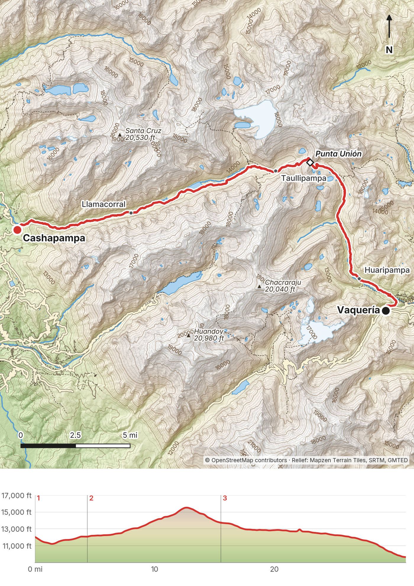
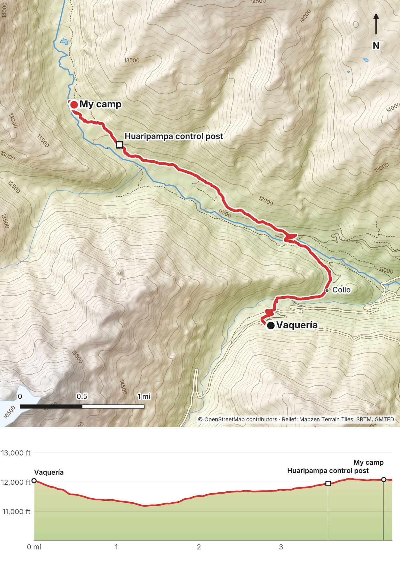
The route today.
Bus companies and fares for the last two legs weren't on any official site I could check; what's above for them is what I did in 2019. If you go with an agency, it will drive you to Vaquería.
Entering Peru. In 2026 the US State Department says your passport must be valid for at least six months from the day you enter. It doesn't mention an onward ticket, but my airline asked for one: check with yours.
What I did. At Cashapampa there were taxis waiting. I hopped in one and made the hour-and-15-minute drive back to Yungay, grabbed my bag, and made it back to Huaraz that evening. So, a lot of bus riding on this trip. Two days later I took the bus back to Lima.
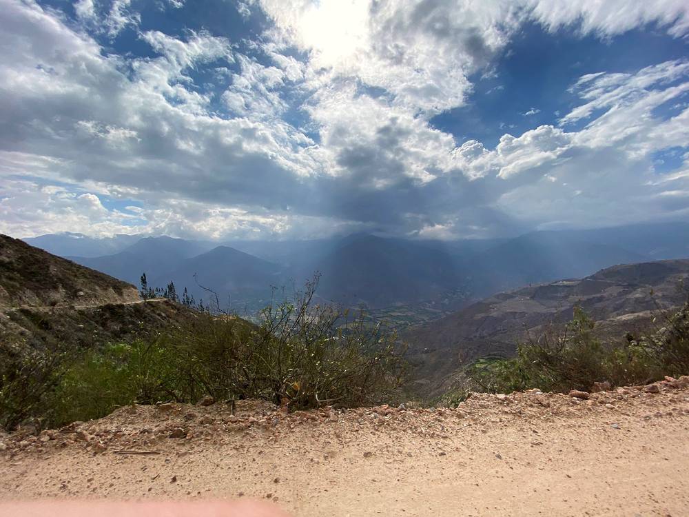
The way back today. From Cashapampa, cars and colectivos go down to Caraz, and colectivos run from Caraz up the valley through Yungay to Huaraz. None of this is timetabled on an official site; ask at Cashapampa. Leave a spare day before your bus to Lima: Cruz del Sur, for one, runs Huaraz to Lima from 11 a.m. to 10:30 p.m. (2026).
My records for this trip are what I said in the film. I have no receipts.
| Item | What I paid in 2019 |
|---|---|
| Bus, Lima to Huaraz (about 7 hours) | About $10 |
| Colectivo, Huaraz to Yungay | Very cheap; the amount isn't in my records |
| Bag storage at a hostel in Yungay | A tip of a couple of dollars |
| Shuttle, Yungay to Vaquería (2 hours) | Very cheap, a little more for a tourist |
| Park ticket | In the film I remembered it as "65 US"; the park's prices are in soles |
| Taxi, Cashapampa to Yungay (1 hour 15 minutes) | Not in my records |
| Food | Groceries in Huaraz and fruit in Yungay; super cheap |
For your budget (2026). The park ticket: S/60 for 2 to 3 days, S/150 for 4 to 30 days. Lima to Huaraz by bus from S/87 (Cruz del Sur). Colectivos, taxis and campsites are cash in soles; I couldn't check 2026 prices for them on any official site. An agency trip costs more and includes transport, food and pack animals.
| Night | Where |
|---|---|
| Nov 10 and 11 | Huaraz |
| Nov 12 | My tent at a campsite 0.8 mi above the Huaripampa control post, 12,070 ft (3,680 m) |
| Nov 13 | My tent at Taullipampa, 13,730 ft (4,185 m) |
| Nov 14 and 15 | Huaraz |
From OpenStreetMap, each within 20 m of my track. Heights are from my GPS.
| Campsite | Day, mile | Height |
|---|---|---|
| Huaripampa (by the control post) | Day 1, 3.6 | 11,950 ft (3,643 m) |
| The one I used | Day 1, 4.4 | 12,070 ft (3,680 m) |
| Paria | Day 2, 2.9 | 12,490 ft (3,807 m) |
| Taullipampa | Day 2, 11.2 | 13,730 ft (4,185 m) |
| Llamacorral | Day 3, 8.6 | 12,420 ft (3,786 m) |
| Cashapampa (village) | Day 3, 15.5 | 9,630 ft (2,935 m) |
OpenStreetMap also shows smaller campsites between these. The park doesn't publish a list of campsites or their fees, so what's there can change.
The trail follows a river or stream almost all the way, except the last climb to the pass and the first mile down from it. I carried a bottle and a water filter. There are villages, cattle and horses in the valleys: filter or treat everything.
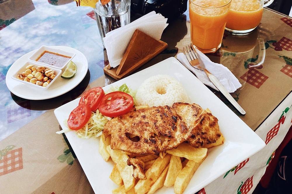
Carry all your food from Huaraz or Yungay. I didn't bring a stove, to save space. It would have been nice to have hot tea and coffee, but it was a quick hike, and I was fine with snacks and cold food: Epic bars, snacks, and a couple of bananas, oranges and apples from the market right before the trailhead. The park doesn't allow open fires.
Paid links: I earn a commission if you buy through these links, at no extra cost to you. As an Amazon Associate I earn from qualifying purchases.
I carried everything myself, with no mule, in November 2019. Here's my kit from the film's gear list, what I'd take now, and what I filmed with. I left an extra bag with clothes and my laptop at a hostel in Yungay.
From my film's original gear list.
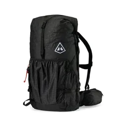 Pack: Hyperlite Mountain Gear Southwest (Hyperlite)
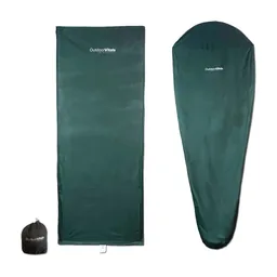 Liner: Outdoor Vitals Sleeping Bag Liner (Amazon)
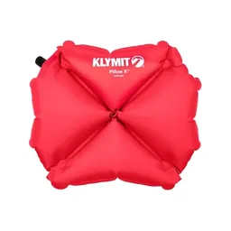 Pillow: Klymit Pillow X (Amazon)
 Sunglasses: Warby Parker Barkley sunglasses. Similar: Goodr OG Sunglasses (Amazon).
 Shirt: Amazon Essentials Quick-Dry Tech Hoodie (Amazon)
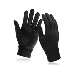 Gloves: Unigear Touchscreen Liner Gloves (Amazon)
What I'd add for this trek from my current kit.
 Rain shell: Arc’teryx Beta AR Jacket (Arc’teryx). Afternoon showers and hail are normal, even in the dry season.
 Puffy: Arc’teryx Cerium Hoody (Arc’teryx). For the pass and the nights above 12,000 ft.
 Beanie: PATH Projects Hoyt Merino Beanie (PATH Projects). Cold mornings in the shade.
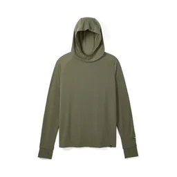 Sun hoodie: PATH Projects Pyrenees T19 Hoodie (PATH Projects). The sun is strong at this height.
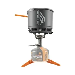 Stove: Jetboil Stash (Amazon). If you want hot meals. I went without.
 Poles: Black Diamond Alpine Carbon Z Poles (Amazon). For the climb to Punta Unión: 3,606 ft up on Day 2.
What I filmed this trip with in 2019. My setup is much smaller now (below). If you want to fly a drone, ask the park office first: see Before you go, check these.
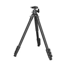 Tripod: Peak Design Carbon Fiber Travel Tripod. I slung it on my hip. Similar: SmallRig Carbon Fiber Tripod (Amazon).
 Wrist strap: Peak Design Cuff Wrist Strap (Amazon)
 Drone: DJI Mavic 2 Pro. Similar: DJI Mini 5 Pro (Amazon).
Since September 2026 I film with a smaller setup: the Pocket 4 and the Mic 3 on the trail, and the Mini 5 Pro in the air.
 Camera: DJI Osmo Pocket 4 (Amazon)
 Mic: DJI Mic 3 · 1 TX + 1 RX (Amazon). It pairs with the Pocket 4.Drone: DJI Mini 5 Pro (Amazon)Tripod: SmallRig Carbon Fiber Tripod (Amazon)
It was about 5 p.m. when I started. This was only going to be half a day, so I just had to rush down and get to camp, and hope it wasn't raining the next day. I passed the park's sign for the Huaripampa to Santa Cruz circuit at the control post at a quarter past six, and I was at my camp at 7.
From Vaquería the path drops off the road and goes down through the hamlet of Collo (mile 0.9) to Huaripampa village (mile 1.4), the lowest point of the day at 3,407 m. From there it turns up the Huaripampa valley, a gentle climb on the valley floor. The park's Huaripampa control post and a campsite are at mile 3.6. I kept going 0.8 mile to another campsite at 3,680 m.
Where to stop. If you start as late as I did, the Huaripampa campsite by the control post is the natural first night. With a whole day, you can go on to Paria, 2.9 miles past my camp. See Other ways to do it.
Walk back down the valley to Huaripampa village and up to the road at Vaquería. The park's control post is on the way, at mile 3.6.
Film, Day 1 · The trailhead and the ticket
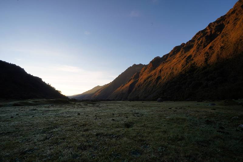
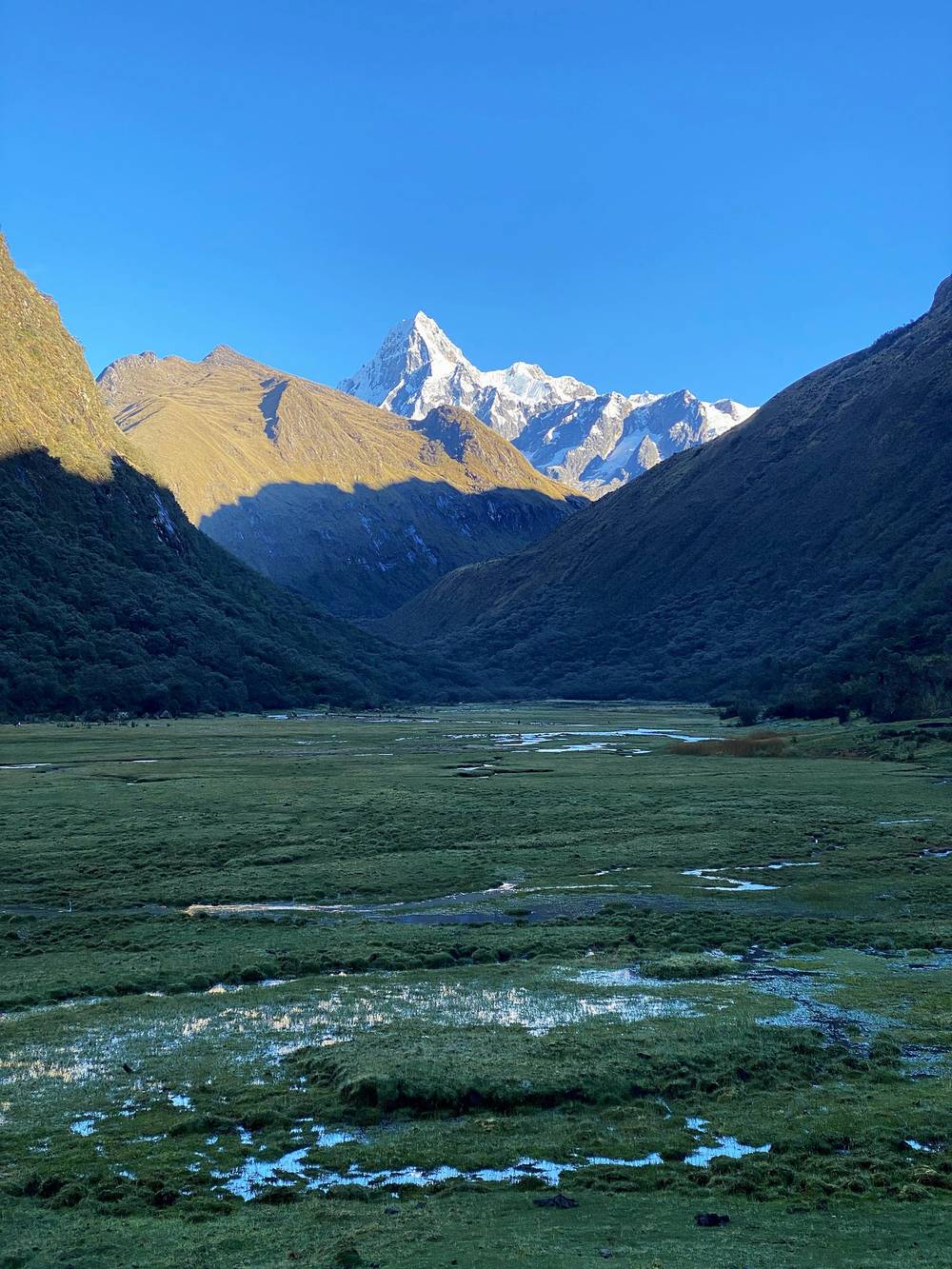
It was cold in the morning, just because I was in the shade, but I knew it was going to be hot as soon as I was in direct sunlight, hiking uphill. I was going to be sweating. And walking back to get the camera a million times. This is my life.
The altitude made me go slower and get out of breath on the way up. I reached Punta Unión, the highest point of my hike, a little after noon. I was up there with a couple of other hikers, and a cute little dog just showed up. So we hung out, ate snacks and chilled there for a little bit. This is why you come on this hike: you come over the pass and there's a turquoise glacier lake below you, with white snowy mountains all around. By the time I got to Taullipampa at 3 p.m., the clouds had come in over the peaks.
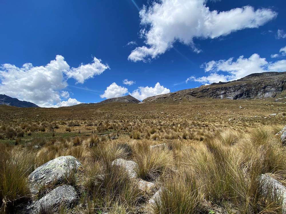
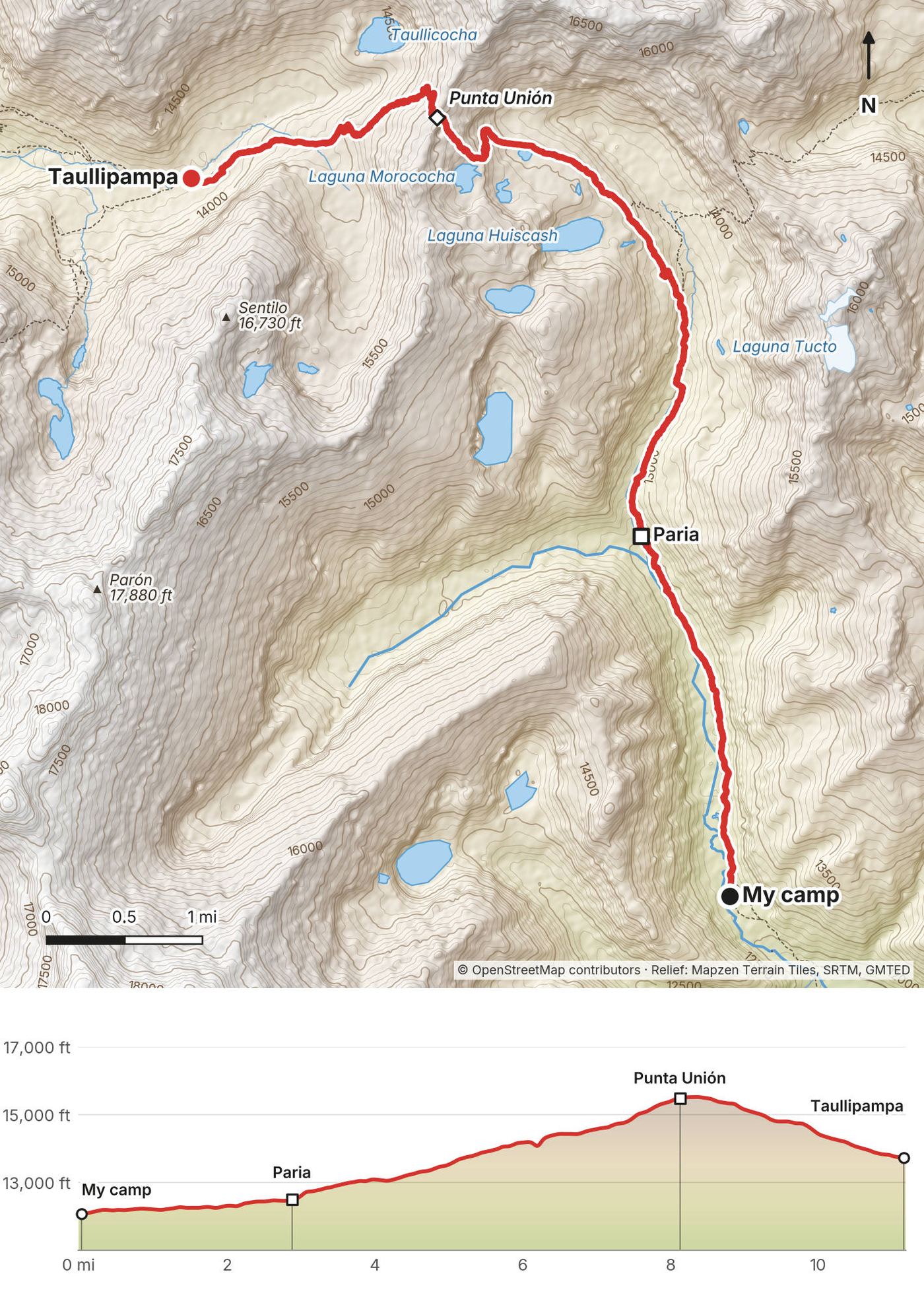
The path follows the Huaripampa valley north, with the river beside it, past the Paria campsite at mile 2.9 (3,807 m). From about mile 4 it climbs more steadily, past small lakes below the path (Laguna Tucto, Laguna Huiscash and, near the top, Laguna Morococha), and the snow peaks come into view ahead.
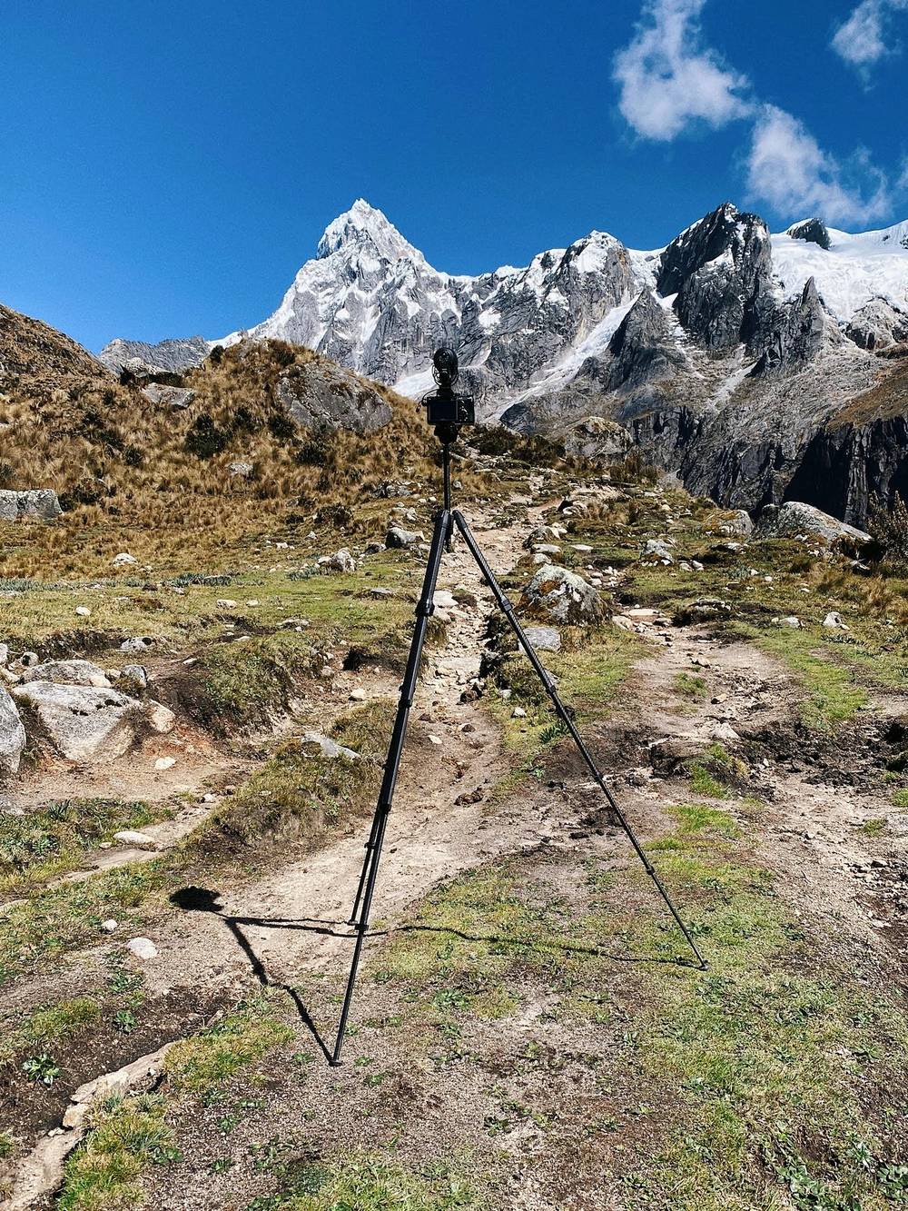
The last mile to Punta Unión is the steepest part of the day, about 900 ft of climbing over rock slabs to a notch in the ridge at mile 8.1. My GPS read 4,720 m at the notch and 4,735 m at its highest; the usual figure is 4,750 m (15,580 ft). On the west side the Taullicocha lake sits just north of the path, under Taulliraju. From the pass it's about 3 miles and 1,750 ft down to the grassy valley floor at Taullipampa (mile 11.2) and its campsite.
Start early. Clouds and afternoon showers come in over the pass. I left at 6:35 and was over it by early afternoon.
Before the pass, go back down the Huaripampa valley to the control post and Vaquería. After the pass, keep going down: Taullipampa, then the Santa Cruz valley to Cashapampa. If you feel really unwell with the altitude, go down, whichever side is closer.
Film, Day 2 · The pass and the dog
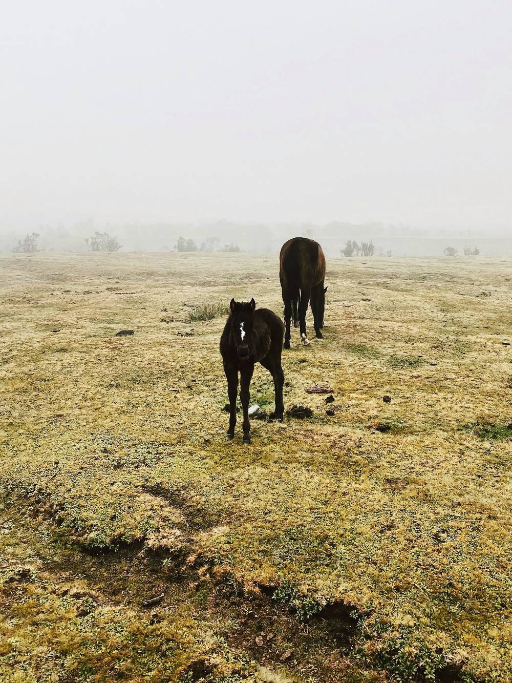
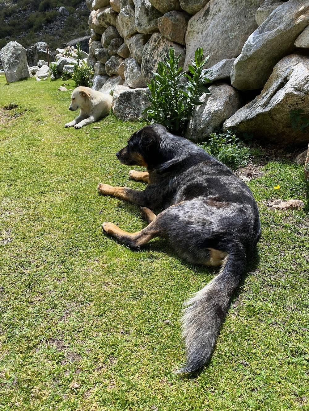
I woke up to thick fog at Taullipampa, with horses grazing near camp. I made it all the way to the end on this day. It was a long 15-mile stretch, but mostly downhill. At Llamacorral there were dogs to say hi to.
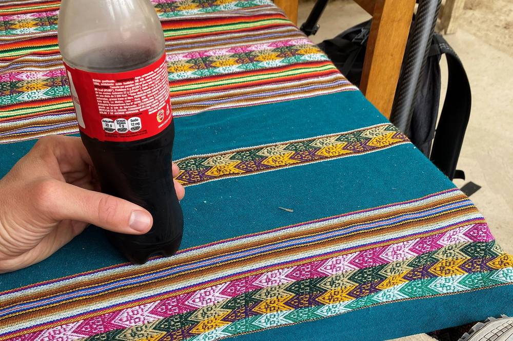
At the end of the trail there was a campsite, a hostel, a restaurant and taxis waiting. I had a cold Coke, hopped in a taxi and went back to Yungay for my bag.
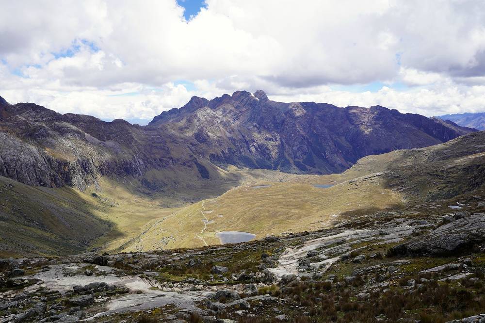
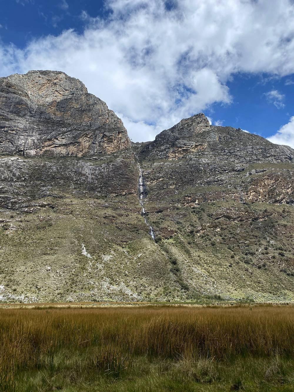
From Taullipampa the path heads west down the Santa Cruz valley. The valley floor is long and gently downhill: past Laguna Jatuncocha (mile 4.9) and Laguna Ichiccocha (mile 6.6), the two big lakes in the valley, and on to the Llamacorral campsite at mile 8.6 (3,786 m). Big rock walls stand on both sides.
Below Llamacorral the valley narrows into a gorge, and the path drops steadily beside the river: about 850 m (2,790 ft) in the last 6.9 miles, the steepest part in the last 2 miles. The park sign at mile 15.1 is just above Cashapampa, where the road starts.
The Alpamayo viewpoint. OpenStreetMap shows the Mirador Alpamayo about 600 m off the path near mile 1.7, and the Arhuaycocha lake and Alpamayo base camp up a side valley to the north. I didn't go.
Keep going down: Cashapampa and the road are the way out. Llamacorral is the last big campsite if you need to stop.
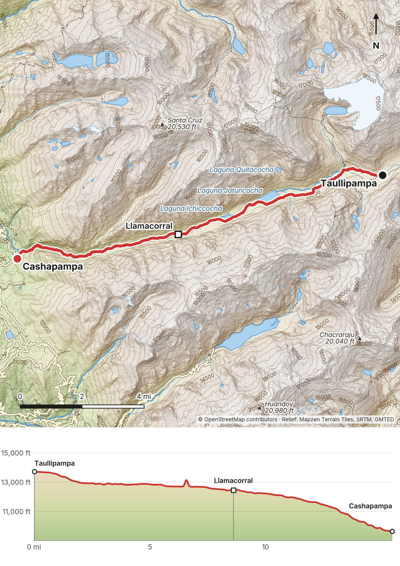
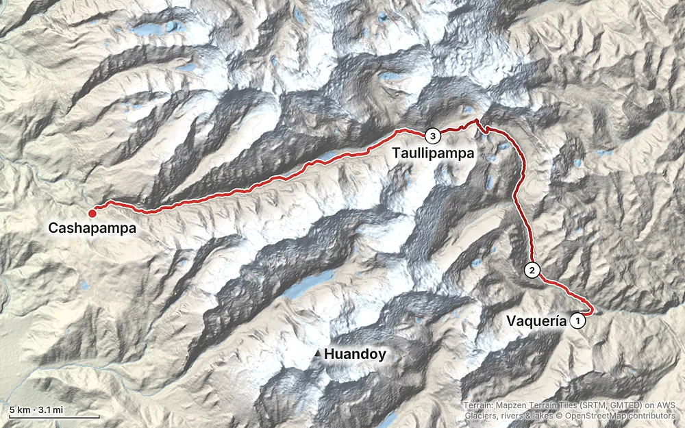
Elevation9,629–15,528 ft31.0 mi
Terrain: Mapzen Terrain Tiles (SRTM, GMTED) on AWS · Glaciers, rivers & lakes © OpenStreetMap contributors
Tap a map to open it full size.
The whole trek is in Huascarán National Park (Parque Nacional Huascarán), run by SERNANP, Peru's national parks service. The park calls this route the Santa Cruz to Huaripampa circuit.
Tickets (2026). For foreign visitors (the general rate): S/30 valid 1 day, S/60 valid 2 to 3 days, S/150 valid 4 to 30 days. Peruvian adults S/12, S/30 and S/75. Children under 5 enter free. A three-day trip like mine needs the 2 to 3 day ticket; four days needs the 4 to 30 day one. Bring cash in soles. The park's site also has an online ticket page; I couldn't check whether it sells this route.
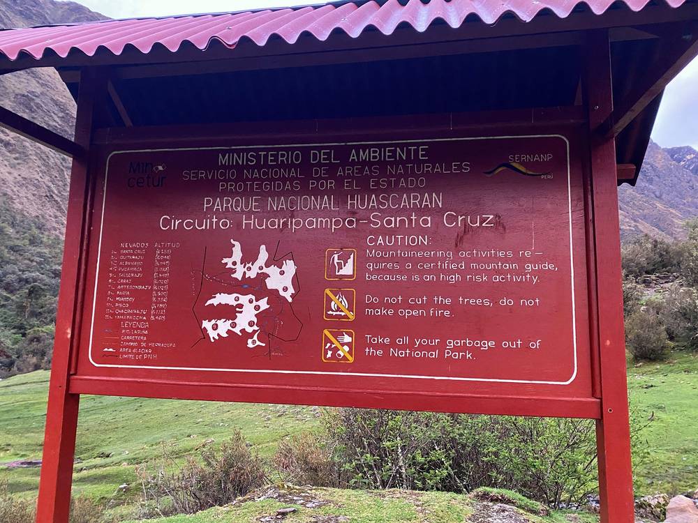
Where you pay. At the trailhead in Vaquería they'll ask you to pay for the ticket, and if you don't buy it there, they'll ask at the end of the trail. The park's control post on this side is at Huaripampa, 3.6 miles into Day 1, where I passed the park sign that evening. SERNANP asks every visitor to register at a control post or at the park office.
Guides and agencies (2026). I walked it alone with no agency in 2019. In September 2026 SERNANP's visitor page for the park says that visits must use tour operators authorized by SERNANP. In January 2026 the park moved Laguna 69 (from February 9) and Nevado Pisco (from April 1) to authorized agencies only, and said that entry to its other routes would continue by direct sale to visitors, at the control posts or the park office. I found no rule that names the Santa Cruz trek either way, and trekking sites still describe people walking it on their own in 2026. Ask at the park office in Huaraz, or email pnhuascaran@sernanp.gob.pe, before you plan it without an operator.
Is it open? In March 2026 the Santa Cruz route through the Huaripampa and Cashapampa valleys was on the list of the park's open routes for 2026. I found no 2026 closure of it. Several peaks and Laguna Parón were restricted that year.
The rules (SERNANP, 2026, and the park sign at Huaripampa):
The dry season. The park recommends May to October; October to April is the rainy season. Early November, when I went, is the start of the rains.
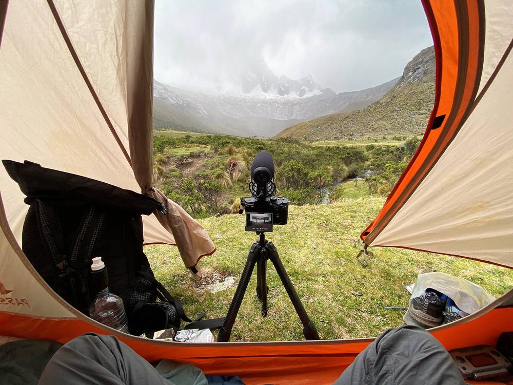
What I got. I did this hike in early November, and the weather was great. It didn't get too cold at night: I was more than happy wearing my clothes and being in my 45-degree sleeping bag. It did rain a bit and hail a little, especially at night. Afternoon thunder showers are just what it does. The morning of Day 2 was cold in the shade, and hot as soon as I was in the sun, hiking uphill. On Day 3 I woke up at Taullipampa in thick fog.
Cold. Punta Unión is near 15,600 ft and Taullipampa, where I slept the second night, is 13,730 ft. The park gives temperatures of -2 to 15 °C (28 to 59 °F), so nights up there can go below freezing. A 45-degree bag was enough for me in November, but I was sleeping in my clothes. Bring warm layers for the pass and the nights, and rain gear for the afternoons.
This is the part to take seriously. Huaraz is at about 10,000 ft (3,050 m). My camps were at 12,070 ft and 13,730 ft, and the pass is near 15,600 ft.
The altitude definitely made me go slower and get out of breath going uphill. You get the altitude headache, you feel dehydrated even if you're not, and you just feel lousy: it's tougher to use your muscles and to get your breath. At least for me. I was struggling a little bit. You do need to acclimatize if you're coming from sea level, which is what I did. I had a couple of days in Huaraz: I was feeling it a little the first evening, but I felt great.
| Where | Height (my GPS) |
|---|---|
| Huaraz | about 10,000 ft (3,050 m) |
| Vaquería, the start | 12,060 ft (3,676 m) |
| Huaripampa village, the low point of Day 1 | 11,178 ft (3,407 m) |
| My Day 1 camp, above the Huaripampa control post | 12,070 ft (3,680 m) |
| Paria campsite | 12,490 ft (3,807 m) |
| Punta Unión | 15,535 ft (4,735 m); usually given as 4,750 m |
| Taullipampa, my Day 2 camp | 13,730 ft (4,185 m) |
| Llamacorral campsite | 12,420 ft (3,786 m) |
| Cashapampa, the finish | 9,630 ft (2,935 m) |
The rules of thumb. The US CDC's current guidance (Yellow Book, April 2025): once above 3,000 m (9,850 ft), don't raise your sleeping height by more than 500 m (1,650 ft) a night, and allow an extra night for every 1,000 m (3,300 ft) you gain. From Huaraz to my first camp is about 630 m, a little over that, and from there to Taullipampa about 505 m. That's why two or three nights in Huaraz, with a day hike up high, come before the trek.
Acclimatization hikes. People do Laguna Churup, Laguna Llaca or Laguna 69 from Huaraz. Since February 9, 2026, Laguna 69 can only be visited with an authorized agency.
Going down helps. If you feel really unwell, the best treatment is to go lower. On Day 1 and early Day 2 that means back to Vaquería; after the pass, down the valley toward Cashapampa.
Emergency numbers (2026). Police 105, fire service 116, SAMU ambulance 106 (listed for Ancash). Mountain rescue (police), from the park's visitor page: 966 831 206 or 984 382 234. The Casa de Guías in Huaraz (the mountain guides' association): 043-427545 or 043-421811. Don't count on phone signal on the trail; a satellite messenger is the real backup.
Rescue. In September 2026 a trekker with hypothermia in the nearby Huayhuash range was carried out overland to Huaraz by Socorro Andino Peruano and the police high-mountain unit, after a helicopter couldn't land in cloud and wind. That month rescuers were also searching Huayhuash for a hiker who had set off alone. Plan to walk out, and get travel insurance that covers trekking at this height, rescue and medical evacuation: the US State Department says first responders can't reach areas outside the big cities.
Leave a plan with someone at home and at your hostel in Huaraz, with your dates.
The US advisory (2026). The US State Department rates Peru Level 2 (exercise increased caution). Its Level 4 areas are far from the Cordillera Blanca. It warns that demonstrations can shut roads without warning, which is one more reason for a spare day.
Where to be careful:
Going solo. I hiked alone and saw only a few people. If you go alone, leave a plan, carry a way to call for help, and don't cross the pass in bad weather.
How many days do I need? I did it in three: a short first afternoon, the pass on Day 2 and a long walk out on Day 3. In the film I even called it "a two-day hike," because I started late on the first day and finished early on the last. The park calls it 3 to 4 days, and four is the easier plan. Add at least two days in Huaraz before it to acclimatize. See Other ways to do it.
How hard is it? The path is clear and the climbing isn't huge: about 3,600 ft on the pass day. What makes it hard is the altitude: for me it was the biggest thing that was difficult on this hike. You're at 14,000 and 15,000 ft for long stretches, and I think that's going to affect anyone. See Altitude.
Do I need a guide or an agency? I didn't use one in 2019. In September 2026 the park's own visitor page says visits must use tour operators authorized by SERNANP, the park service, while its January 2026 notice kept direct ticket sales at the control posts on every route except Laguna 69 and Nevado Pisco. Ask the park office in Huaraz before you plan it on your own. See The park.
What does the ticket cost? In 2026, S/60 valid for 2 to 3 days, or S/150 for 4 to 30 days (the general rate for foreign visitors). They'll ask you to pay for a ticket to enter the national park, and if you don't buy it at the start, they'll ask you for it at the end of the trail.
Which way should I walk it? I went from Vaquería to Cashapampa, so my long last day was mostly downhill. The other way starts with a climb of about 5,000 ft from Cashapampa.
Will I see other people? A few. I met a couple of other hikers at the pass. Once you're up in the mountains, you're kind of alone. Not too many people up there, and you definitely have some privacy.
Can I buy food on the trail? Plan on carrying all of it. In 2019 Vaquería had a hostel, a restaurant and supplies, and Cashapampa a hostel and a restaurant; I carried everything in between. I had no stove: snacks, bars and fruit from the market in Yungay.
Is there phone signal? Don't count on it. Download everything before you leave Huaraz, and consider a satellite messenger.
I walked the three days in this guide. These are other ways to use it, and I didn't do them.
The park calls it 3 to 4 days, and four is the easier way to do it. Using the campsites on my line (distances from my GPS):
Paria is about 760 m above Huaraz, more than the CDC's 500 m a night, so the days in Huaraz before it matter.
You can start at Cashapampa and finish at Vaquería. Then my Day 3 becomes a long climb, about 1,540 m (5,060 ft) from Cashapampa to Taullipampa, and the pass comes on Day 3 or 4. Ask how you'll get a ride out of Vaquería before you set off: it's a small place on a quiet road.
Many people do it with a Huaraz agency: transport to Vaquería and back from Cashapampa, a guide, a cook, and donkeys or mules for the gear. If the park's operator rule applies to you, it's the way to go. See The park.
These change every year. Everything else in this guide stays the same.
The park
Getting there
Conditions and your stuff
Planning questions about Santa Cruz Trek, answered only from this page's facts, the creators' versions and hikers' public tracks, with where each answer comes from. When the data doesn't say, the answer says "not given".
From hikers
Sign in to comment. Free; your hikes stay private unless you share them.
Something wrong or missing on this page? Send feedback.