Follow the Hiker
Find my next hikeGearSavedKraig Adams
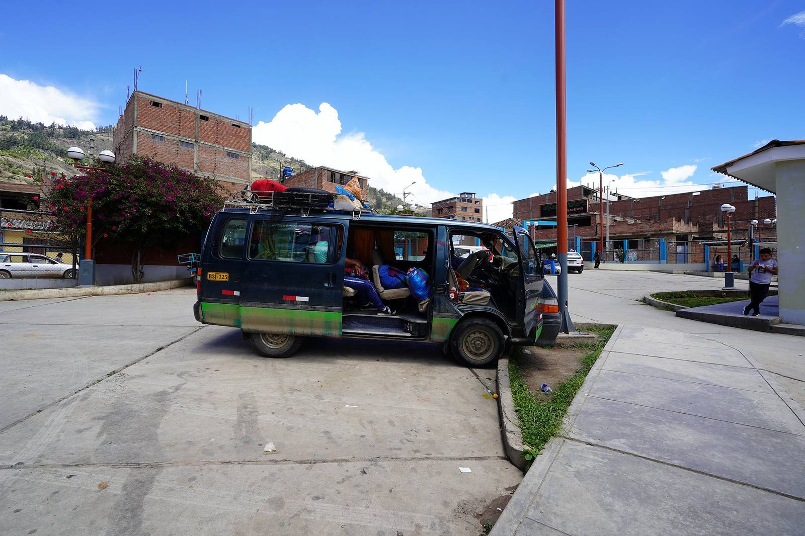
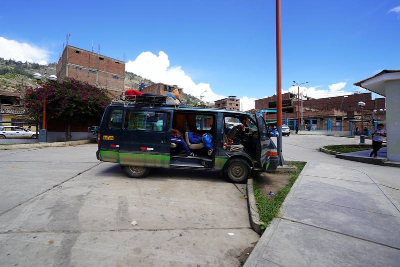
A minibus in Yungay on Day 1, where I caught the ride up to Vaquería.

South America · Peru

Santa Cruz Trek

Cordillera Blanca, Peru

Distance
31 mi49.9 km
Days
3 days
Elevation gain
5,505 ft1,678 m
High point
15,584 ft4,750 m
Season
The dry season, May to October
Lodging
Tent
Plan this hike

Hikes / South America / Santa Cruz Trek

In November 2019 I flew to Peru and hiked the Santa Cruz Trek alone: three days and about 30 miles through the Cordillera Blanca, from Vaquería over the Punta Unión pass to Cashapampa, with a tent and no stove. It's the trip from my film Hiking 30 miles on the Santa Cruz Trek in Peru.

Kraig Adams

Effort at this pace: Hard · about 10 mi (17 km) and 1,835 ft (559 m) of climbing a day over 3 days, up to 15,584 ft (4,750 m). Our grade for the days given, worked out from distance, climbing and altitude a day; it isn't the trail's usual difficulty rating (under Basics) and doesn't rate exposure, terrain or weather.

Where these numbers come from

From Kraig Adams's GPS recording and guide.

Plan this hikeSave this hike

Plan: dates, gear, deadlines and stays in a private link. Save: keeps it on your account.

From Kraig Adams's GPS

The route, day by day

Relief map of the Santa Cruz Trek route: 3 days drawn in red with numbered day starts, labelled Vaquería, Cashapampa, Huandoy and Taullipampa.

Elevation9,629–15,528 ft31.0 mi

From Kraig Adams's GPS. Terrain: Mapzen Terrain Tiles (SRTM, GMTED) on AWS · Glaciers, rivers & lakes © OpenStreetMap contributors

Tap a day for his map of it

  • Read day 1
  • Read day 2
  • Read day 3

The film

Watch it first

Hiking 30 miles on the Santa Cruz Trek in Peru

Kraig Adams · Nov 2019 · Solo

A minibus in Yungay on Day 1, where I caught the ride up to Vaquería.
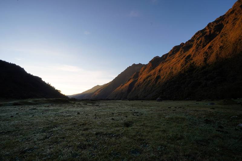
First light in the Huaripampa valley at my Day 1 camp, the next morning.
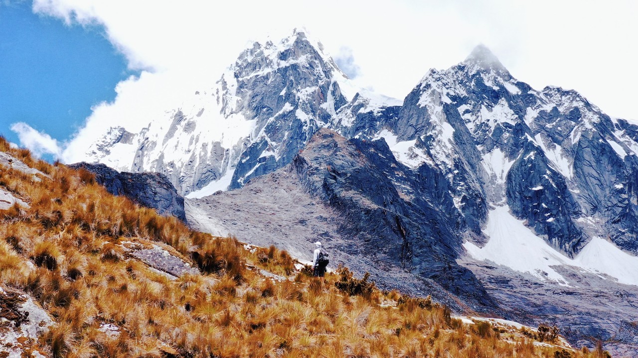
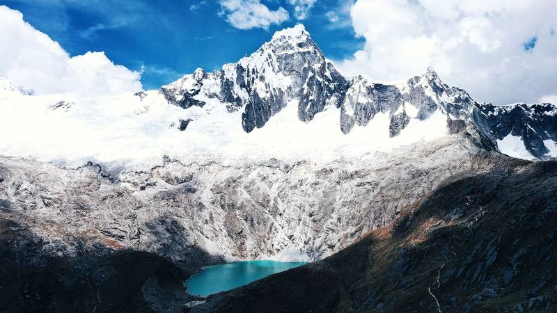
Taulliraju and the Taullicocha lake, just west of Punta Unión, Day 2.
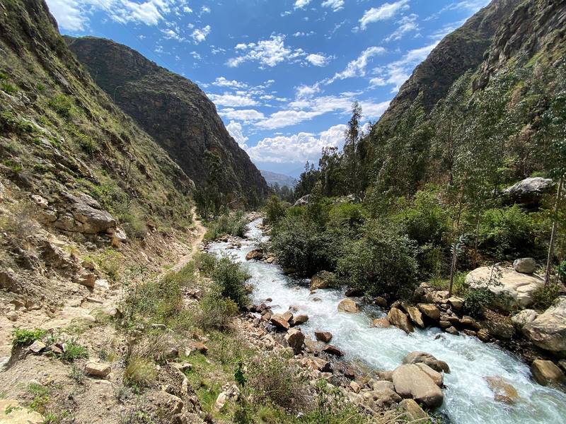
The Santa Cruz gorge above Cashapampa, near the end of Day 3.

Before you go

The basics

Start
Vaquería, on the road from Yungay to Yanama, 12,060 ft (3,676 m)
Finish
Cashapampa, at the end of the road from Caraz, 9,630 ft (2,935 m)
Usual difficulty
A clear path, but high: two nights above 12,000 ft and a pass near 15,600 ft
Best time
The dry season, May to October. I walked November 12 to 14, 2019
Permits
Huascarán National Park ticket: S/60 for 2 to 3 days, S/150 for 4 to 30 days (2026, foreign visitors)
Getting there
What I did. I flew from New York to Lima. One thing to know: you may need a confirmed return. Before I could board, the airline asked for that information. I'd booked a one-way to Peru, so right before I got to the check-in desk, I bought a refundable one-way ticket from Lima to somewhere. I arrived in Lima super late and took a taxi to a hostel I'd stayed at before.
Lodging
Tent

From Kraig Adams's guide

Costs and gear

What it cost

The park ticket: S/60 for 2 to 3 days, S/150 for 4 to 30 days

His costs, line by line

What Kraig carried

Hyperlite Mountain Gear Southwest · ALPS Mountaineering Lynx 1 tent · NEMO Siren 45 sleeping bag · Outdoor Vitals Sleeping Bag Liner · OutdoorsmanLab Ultralight Sleeping Pad · Klymit Pillow X · Platypus Platy 2L bottle · Sawyer Squeeze filter and 29 more.

The full gear list

From Kraig Adams's guide

Safety

Rescue numbers

  • Emergency numbers (2026). Police 105, fire service 116, SAMU ambulance 106 (listed for Ancash). Mountain rescue (police), from the park's visitor page: 966 831 206 or 984 382 234. The Casa de Guías in Huaraz (the mountain guides' association): 043-427545 or 043-421811. Don't count on phone signal on the trail; a satellite messenger is the real backup.

Phone signal

  • Don't count on it.
  • Download everything before you leave Huaraz, and consider a satellite messenger.

Insurance

  • Plan to walk out, and get travel insurance that covers trekking at this height, rescue and medical evacuation: the US State Department says first responders can't reach areas outside the big cities.

Bail-out points

  • Day 1, Vaquería to Huaripampa. Walk back down the valley to Huaripampa village and up to the road at Vaquería. The park's control post is on the way, at mile 3.6.
  • Day 2, Huaripampa over Punta Unión to Taullipampa. Before the pass, go back down the Huaripampa valley to the control post and Vaquería. After the pass, keep going down: Taullipampa, then the Santa Cruz valley to Cashapampa. If you feel really unwell with the altitude, go down, whichever side is closer.
  • Day 3, Taullipampa to Cashapampa. Keep going down: Cashapampa and the road are the way out. Llamacorral is the last big campsite if you need to stop.

From Kraig Adams's guide. For planning, not navigation: check before you go.

Their films and versions

Creators who've done it

1 creator so far: Kraig, 3 days, tent.

Walked Santa Cruz Trek? Be the first to share your track: log it with your GPX.

Your time

Sign in and log a few hikes to see how long this one would take you.

Typical: 3 days (the hike's facts).

Ask this hike

Planning questions about Santa Cruz Trek, answered only from this page's facts, the creators' versions and hikers' public tracks, with where each answer comes from. When the data doesn't say, the answer says "not given".

    From hikers

    Comments

    Sign in to comment. Free; your hikes stay private unless you share them.

    Answered from the data

    Questions people ask

    How many days do you need for Santa Cruz Trek?

    I did it alone in 3 days, 31 miles from Vaquería to Cashapampa, with 2 nights in my tent. The park calls it 3 to 4 days, and four is the easier plan. Add at least two days in Huaraz first to acclimatize.

    From Kraig Adams's trip and guide.

    How much does Santa Cruz Trek cost?

    In 2026 the general rate is S/60 for a ticket valid 2 to 3 days and S/150 for 4 to 30 days. You can pay at the start or the end of the trail. Bring cash in soles.

    From Kraig Adams's trip and guide.

    When is the best time to hike Santa Cruz Trek?

    The dry season, May to October; the park lists October to April as the rainy season. I went November 12 to 14, 2019, and the weather was great, with some rain and hail at night.

    From Kraig Adams's trip and guide.

    How high is the Santa Cruz Trek?

    The high point is the Punta Unión pass, usually given as 4,750 m (15,580 ft); my GPS read 4,735 m. My camps were at 3,680 m and 4,185 m (13,730 ft), and Huaraz, where you start from, is at about 3,050 m.

    From Kraig Adams's trip and guide.

    Do you need a guide for the Santa Cruz Trek?

    I walked it alone with no agency in 2019. In 2026 the park's visitor page says visits must use SERNANP-authorized operators, while its January 2026 notice kept direct ticket sales at the control posts except at Laguna 69 and Nevado Pisco. Ask the park office in Huaraz before you plan it on your own.

    From Kraig Adams's trip and guide.

    How do you get to the start of the Santa Cruz Trek?

    Bus from Lima to Huaraz (7 to 8 hours), a colectivo to Yungay (about an hour and a half), then a minibus toward Yanama to Vaquería (my ride took 2 hours). From Cashapampa at the end, taxis and colectivos go down to Caraz and back to Huaraz.

    From Kraig Adams's trip and guide.

    Plan this hikeThe route