 Hiking 35 miles in Colorado's San Juan Mountains

Kraig AdamsJun 2020 · With friends
- Days
- 2 days
- Direction
- Out and back each time: Uncompahgre and Wetterhorn from Capitol City,…
- Cost
- about $175
- Lodging
- Tent
North America · United States
San Juan Mountains, Colorado
Hikes / North America / San Juan Mountains
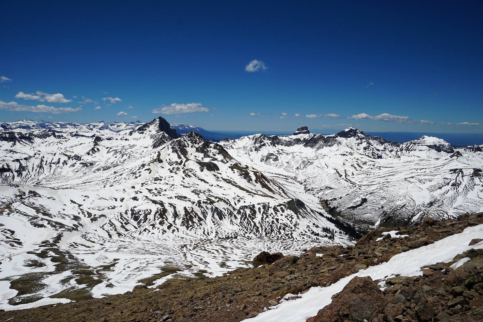
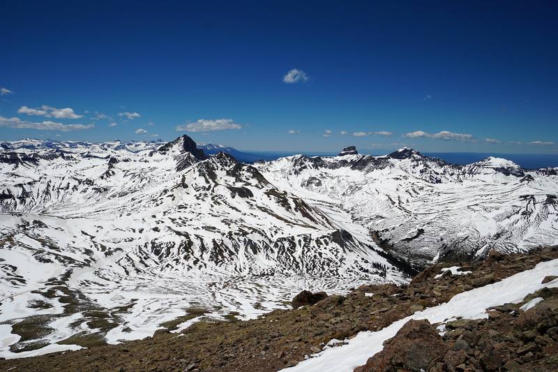
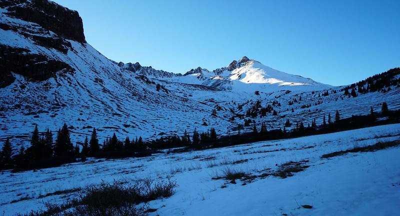
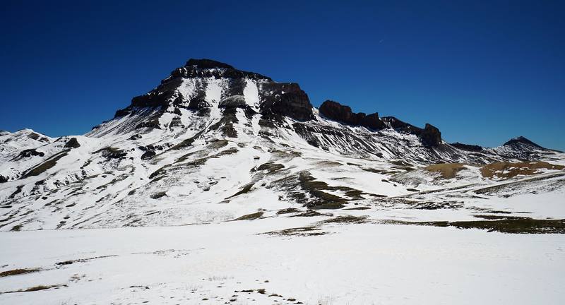
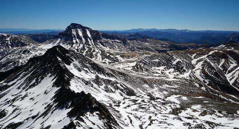
In June 2020 my younger brother Kurtis and I climbed Uncompahgre and Handies, and climbed toward Wetterhorn, in the San Juan Mountains above Lake City, Colorado. We parked at Capitol City on Henson Creek Road, walked up the North Fork in the evening to a snowy camp below Matterhorn Peak, climbed Uncompahgre Peak the next day, climbed toward Wetterhorn Peak the morning after, hiked out to the car, and that same evening drove around to the Cinnamon Pass road and climbed Handies Peak, coming down by headlamp. About 32.7 miles (52.7 km) and 10,650 ft of climbing in three days by my GPS. It's the trip from my film Hiking 35 miles in Colorado's San Juan Mountains.
Kraig Adams
Effort at this pace: Very hard · about 16 mi (26 km) and 5,326 ft (1,624 m) of climbing a day over 2 days, up to 14,314 ft (4,363 m). Our grade for the days given, worked out from distance, climbing and altitude a day; it isn't the trail's usual difficulty rating (under Basics) and doesn't rate exposure, terrain or weather.
From Kraig Adams's GPS recording and guide.
From Kraig Adams's GPS

Elevation9,711–14,311 ft32.7 mi
From Kraig Adams's GPS. Terrain: Mapzen Terrain Tiles (USGS 3DEP, SRTM) on AWS · Rivers & lakes © OpenStreetMap contributors
Tap a day for his map of it
The film
 Hiking 35 miles in Colorado's San Juan Mountains
Before you go
From Kraig Adams's guide
a green tent, a sleeping bag and a pad · an ice axe · a squeeze filter · a stove and a pot · a headlamp · jackets · sunscreen · the AllTrails app and 17 more.
From Kraig Adams's guide
From Kraig Adams's guide. For planning, not navigation: check before you go.
Their films and versions
1 creator so far: Kraig, 2 days, about $175, tent.
Hiking 35 miles in Colorado's San Juan Mountains
Walked San Juan Mountains? Be the first to share your track: log it with your GPX.
Sign in and log a few hikes to see how long this one would take you.
Typical: 2 days (the hike's facts).
Planning questions about San Juan Mountains, answered only from this page's facts, the creators' versions and hikers' public tracks, with where each answer comes from. When the data doesn't say, the answer says "not given".
From hikers
Sign in to comment. Free; your hikes stay private unless you share them.
Answered from the data
By my GPS, 4.5 miles from Capitol City to a camp below Matterhorn Peak, 11.4 miles round trip to Uncompahgre from there, 4.5 miles toward Wetterhorn and 4.2 miles back out. With Handies, 32.7 miles and about 10,650 ft of climbing in three days.
From Kraig Adams's trip and guide.
A 4-day trip from Denver for two people, in your own car, comes to about $350, or about $175 each:
From Kraig Adams's trip and guide.
July to September, when the trails are mostly dry and the roads open. Afternoon storms are almost daily from mid-July to late August, so start before dawn and be off the summits by noon. In June expect snow.
From Kraig Adams's trip and guide.
No. In 2026 there was no permit, quota or trailhead fee for any of the three. The Uncompahgre Wilderness order limits groups to 15 and bans campfires above tree line, and drones are prohibited in Wilderness.
From Kraig Adams's trip and guide.
Yes, by September 2026. The Gold Mountain and Elk fires closed much of the Uncompahgre Wilderness that summer; the Uncompahgre trail reopened July 29 and Wetterhorn August 24, and local news reported the last Elk Fire closures lifted September 15. Check the GMUG alerts page before you go.
From Kraig Adams's trip and guide.
No. Any car can reach Capitol City in summer, where we parked and walked. Only the last 0.7 mile to the upper Matterhorn Creek trailhead needs high-clearance 4WD. For Handies, careful 2WD drivers usually reach the Silver Creek / Grizzly Gulch trailhead in summer (as reported).
From Kraig Adams's trip and guide.
Harder than Uncompahgre or Handies: a class 3 scramble on an exposed ridge with loose rock near the top, where a helmet makes sense. In early June we found a steep snow gully and carried an ice axe.
From Kraig Adams's trip and guide.