
Content made there
The film is at the top of this page.
Photos
Hikes / Reflection Canyon / Kraig Adams's version
North America · United States
Nov 2020 · about 17 miles · With friends · Tent

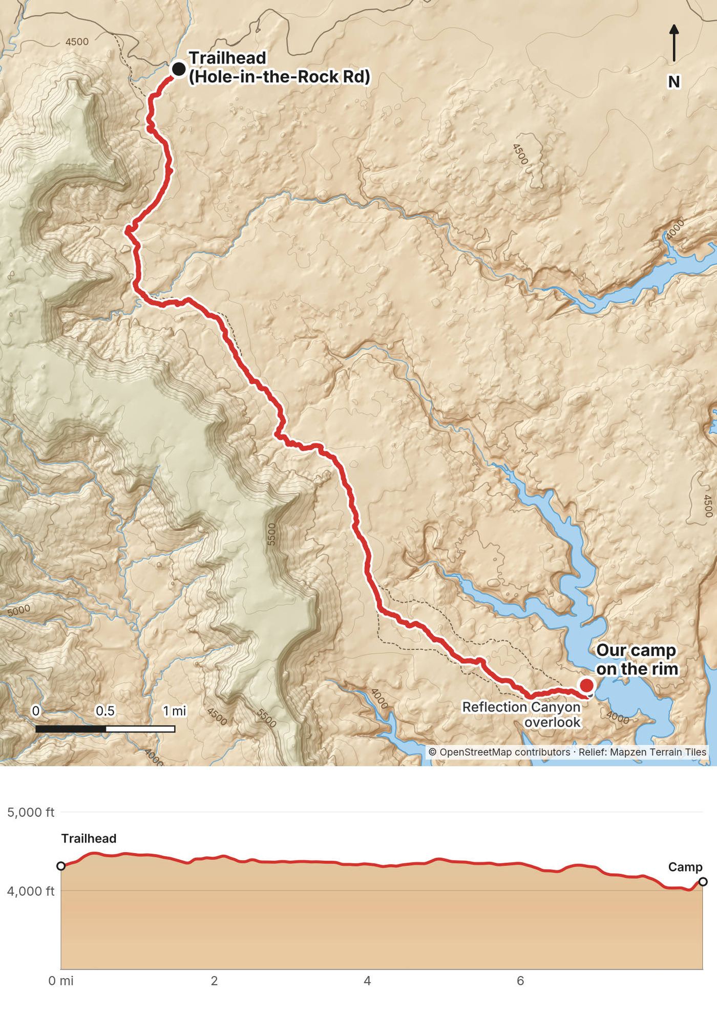
In November 2020 my brother Kurtis and I hiked out to Reflection Canyon, the famous view of Lake Powell's meanders in southern Utah, and camped on the rim. We drove down Hole-in-the-Rock Road from Escalante in a rented Jeep, walked about 8.4 miles across the desert and the slickrock to the rim in an afternoon, camped there for the sunrise, and walked the same way back the next morning. About 17.1 miles round trip by my GPS: 8.4 out and 8.7 back. It's the trip from my film Hiking 20 Miles to Reflection Canyon Utah.
It's isolated. There's no water, no cell service and barely anyone out there, and for a good part of it there's no trail you can see. You won't see the canyon until the last second.
| Quick facts | |
|---|---|
| Distance | 17.1 miles (27.5 km) round trip by my GPS: 8.4 out, 8.7 back. Other sources give 15.6 to 18 miles, depending on the line you take |
| Climbing | About 1,480 ft (450 m) up and 1,320 ft (400 m) down in all, by my GPS. It's mostly flat, with gullies to cross |
| Days | 2: an afternoon out, a morning back |
| Start and finish | An unsigned pullout on Hole-in-the-Rock Road, about mile 50 from Highway 12, about 4,310 ft (1,315 m) |
| Direction | Out and back along the same benches and slickrock |
| High point | About 4,480 ft (1,365 m) by my GPS, early on the benches |
| Sleep | Our tents on the slickrock rim above Reflection Canyon, about 4,110 ft (1,254 m) |
| Difficulty | Not steep, but long, hot and off trail: much of it is cairned slickrock with no path. GPS needed |
| Water | None on the route. Carry all of it |
| Permits (2026) | A free backcountry permit to camp; Glen Canyon's entrance fee |
| Day | Route | Miles (km) | Up / down (ft) | Sleep |
|---|---|---|---|---|
| 1 | Trailhead to the Reflection Canyon rim | 8.4 (13.5) | 544 / 758 | Our tents on the rim, about 4,110 ft |
| 2 | The rim back to the trailhead | 8.7 (14.0) | 937 / 561 |
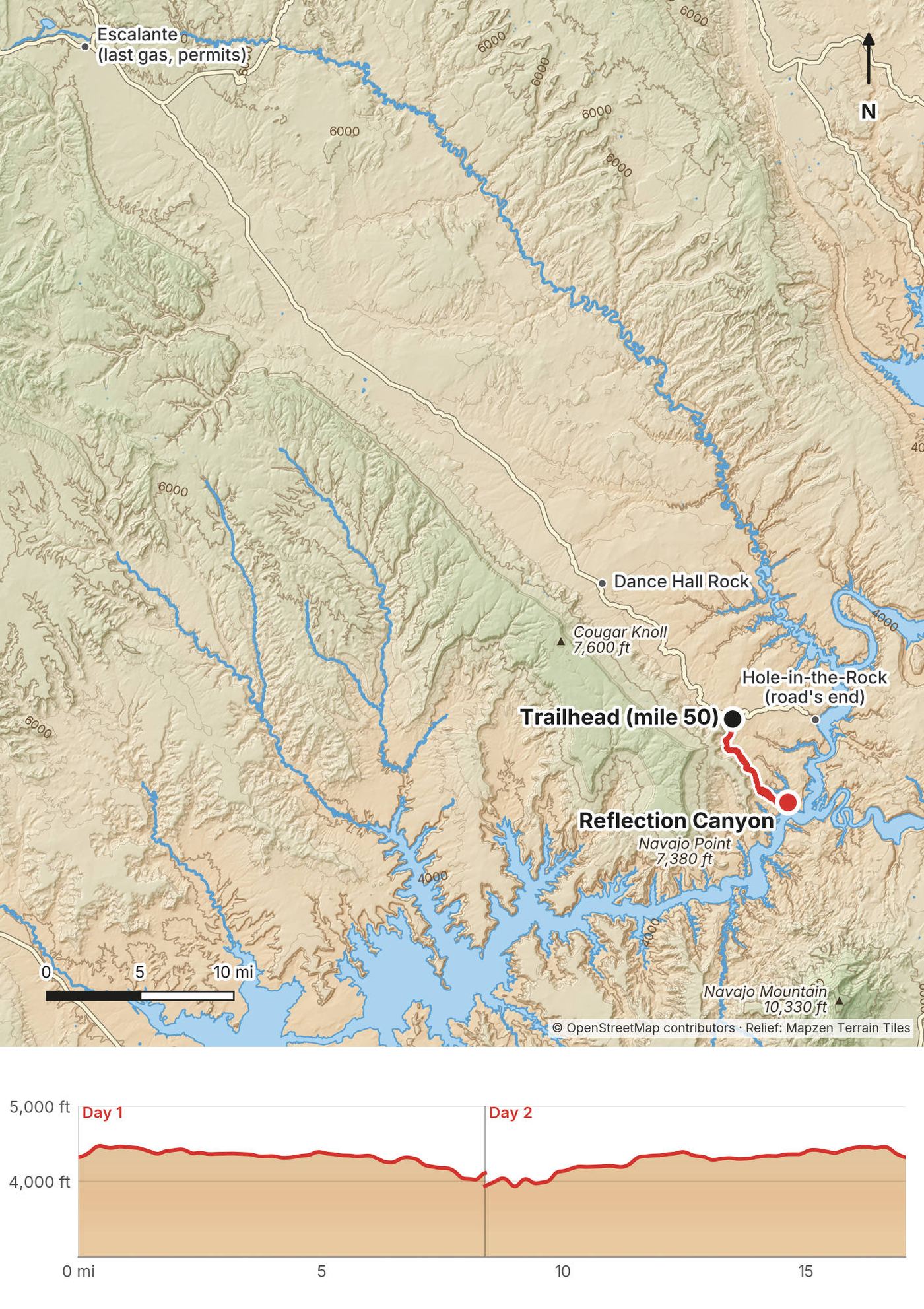
My way in, 2020. This was the second hike of a trip through the Southwest, after the Grand Canyon. My brother was driving his Honda Fit, so we rented a Jeep with off-road four-wheel drive in Escalante and drove from there along the ridge all the way to the trailhead. It took forever, about three and a half hours by my count, and it was very bumpy. We set off on foot at 1:42 p.m.
Escalante. The town on Highway 12 is the last gas, food and water. The visitor center is there for permits and road conditions. Escalante Outfitters (310 West Main Street) sells maps and gear and has a café; Griffin Grocery is the grocery store and is closed on Sundays, as reported.
Flying in. Las Vegas is about 4 hours 40 minutes from Escalante and Salt Lake City about 4 hours 45 minutes. Cedar City has the nearest airport with scheduled flights, about 2.5 to 3 hours away (estimated). From Page, Arizona, take the paved road through Kanab, about 3.5 hours (estimated); mapping apps may send you down dirt roads that were impassable in September 2026. Arizona doesn't change its clocks, so from March to early November Page is an hour behind Utah.
Hole-in-the-Rock Road. Leave Highway 12 about 5 miles east of Escalante and drive south. The road runs 62 miles to Hole-in-the-Rock above Lake Powell; the trailhead is an unsigned pullout at about mile 50 by my GPS (others give 50.5 to 50.7), at 37.2522, -110.9734. There's no gas, no water and no cell service anywhere on the road. Most people take about 2 to 3 hours from town; we took longer. Don't drive it when it's wet or storms are coming.
The car. High clearance at the very least, and four-wheel drive is the safe choice. Epic Jeep Rentals in Escalante rented lifted four-door Wranglers in 2026 for $345 a day (8:30 a.m. to 6:30 p.m.), from April to October only, with a $500 deposit and multi-day rentals allowed. Its terms don't say whether you can keep one overnight at a trailhead: ask before you book. In November you'd need your own high-clearance car or another rental. Standard rental contracts ban unpaved roads, so a tow or a repair would be yours to pay, and reports put a tow off this road at $500 to well over $1,000.
I didn't keep a list of what this trip cost me.
For your budget (US dollars, as checked in October 2026). The permit is free; it comes to about $100 to $200 for two people with your own high-clearance 4WD, or about $800 to $1,100 with a rented Jeep:
| Item | Cost |
|---|---|
| Backcountry permit | Free |
| Glen Canyon entrance | $30 a vehicle for 7 days, or free with an America the Beautiful pass ($80 for US residents, $250 for non-residents in 2026) or a Glen Canyon annual pass ($55). Cashless |
| A Jeep from Escalante, 2 days | About $690, plus a $500 deposit, if they'll rent it overnight (Epic Jeep Rentals, $345 a day, April to October) |
| Gas on Hole-in-the-Rock Road and back | About $25 to $50 (estimate) |
| A night in Escalante | From about $30 for a tent site in Escalante Petrified Forest State Park to $120 to $140 for a motel |
| A WAG bag | A few dollars each |
That's about $100 to $200 for two people with your own high-clearance 4WD and a park pass, or about $800 to $1,100 with a rented Jeep, a motel and meals out, before flights or the drive to Escalante.
These were checked on the Park Service's Glen Canyon pages and its 2026 Superintendent's Compendium on October 3, 2026.
The permit. Backcountry permits are required for all overnight stays in the Escalante District of Glen Canyon. They're free and there's no quota. Get one at the Escalante Interagency Visitor Center (755 West Main Street, Escalante, 435-826-5499; its published summer hours are Tuesday to Saturday, 9 a.m. to 4 p.m., closed Sunday and Monday; it lists no fall or winter hours, so call ahead), or self-register at a trailhead. Any Grand Staircase-Escalante visitor center can issue it: the ones in Kanab (745 East Highway 89) and Big Water (20 Revolution Way) were open daily, 8 a.m. to 4 p.m., in 2026, which helps if you arrive on a Sunday or Monday. It's not on Recreation.gov. The start of the route is on BLM land in Grand Staircase-Escalante National Monument, where the BLM encourages a free permit too, for search and rescue.
Where to camp. Anywhere in the backcountry away from roads, trailheads and developed areas. There are no campsites at Reflection Canyon. People camp on the flat spots of slickrock on the rim, as we did; hikers report only a few small flat spots near the classic view, and the rim is exposed to wind.
Groups. At most 12 people and 3 vehicles. Bigger groups split up and camp at least half a mile apart.
Human waste. Every overnight group must carry a WAG bag or a portable toilet. Pack out all toilet paper; burning it is banned. Within a quarter mile of Lake Powell's shore, solid waste must be packed out, and on bare slickrock you can't dig a hole anyway: pack it all out.
Other rules. No campfires: bring a stove (Glen Canyon's ban covers the Escalante drainages, and fire restrictions can come at any time). No drones anywhere in Glen Canyon. Dogs on a leash of 6 feet or less. Store food and trash where ravens and rodents can't get it. Don't build cairns: the Park Service asks you to rely on your map and your GPS. Take nothing, and carry out all your trash.
| Night | Where | Height |
|---|---|---|
| Before | Escalante | |
| 1 | Our tents on the rim above Reflection Canyon (Day 1 mile 8.4) | about 4,110 ft (1,254 m) |
| After | We drove back to Escalante |
Our camp. A spot on the slickrock rim with the best view of the whole canyon we could find, a short walk past the overlook. It's bare rock, so bring a tent you can pitch with rocks or a free-standing one, and expect wind. Stay well back from the edge, especially in the dark.
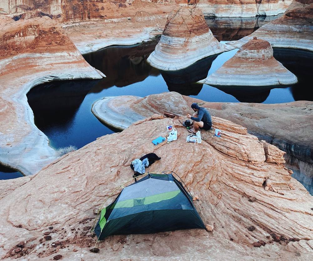
Food. We didn't stop to eat on the way out: we were booking it. We ate on the rim. Afterward we had tacos in Escalante.
Water. We carried four or five liters each for the overnight in November, with cool weather, and didn't use it all. The Park Service says at least a gallon (4 liters) a person a day; hikers commonly carry 6 to 8 liters each for the overnight in spring and fall, and more in warm weather. Leave extra water in the car for the drive back. There's no water on the route and no way down to the lake from the rim.
From my film and photos (I have no full gear list for this trip):
What this hike needs:
We arrived at the parking area and set off on foot at 1:42 p.m., in the sunlight. It was pretty hot. We brought a lot of water, because we didn't expect any refills.
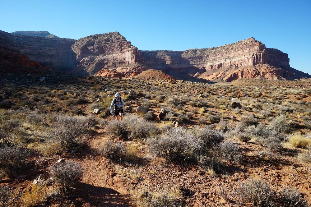
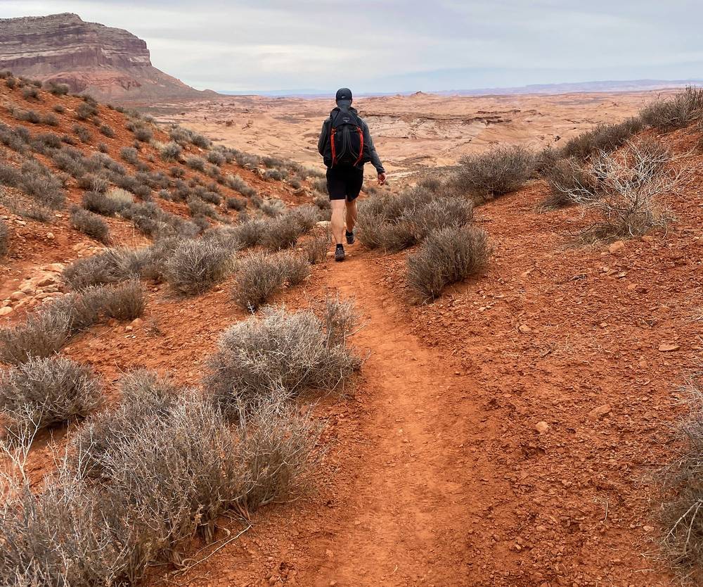
The first few miles follow a path along one side of the canyon, across a couple of gullies. You can see where you're supposed to hike. We were definitely booking it: no food breaks, just quick stops to film and drink.
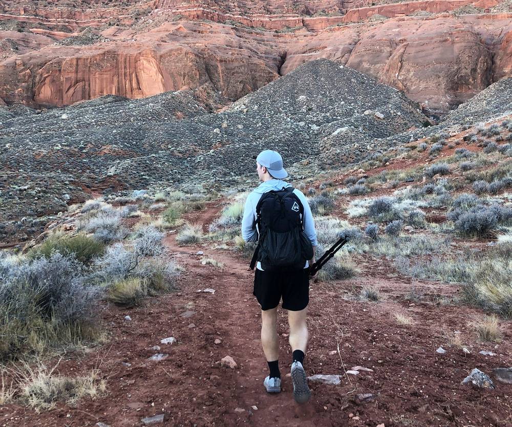
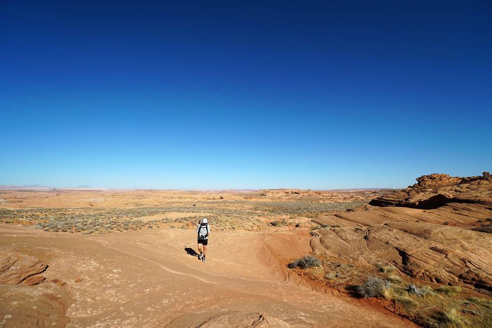
Then the dirt runs out. Past this point it's bare white rock and dryness, and the trail is hard to see, so you follow cairns. This part was fun, running up and down really smooth rock faces and finding the best way across. You can get a little lost, so keep checking your GPS.
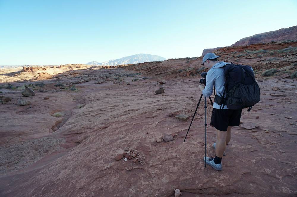
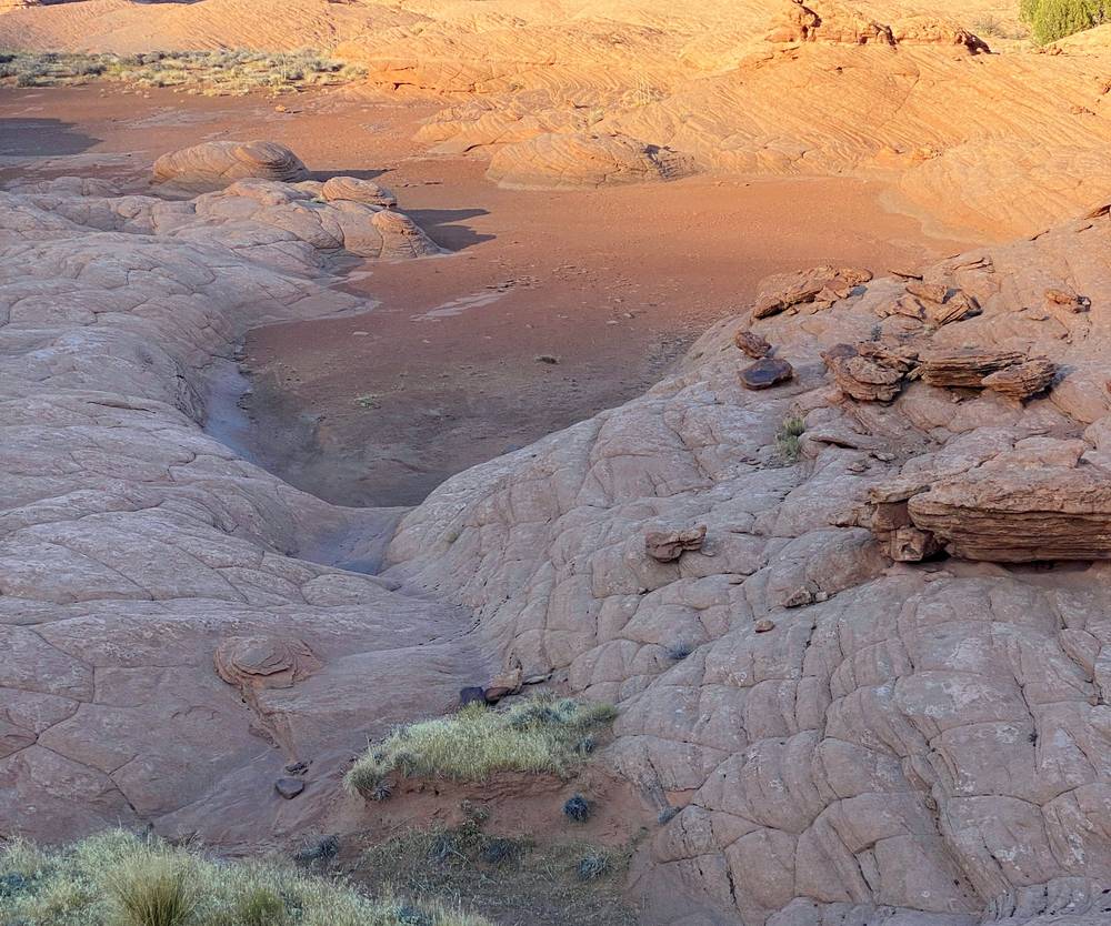
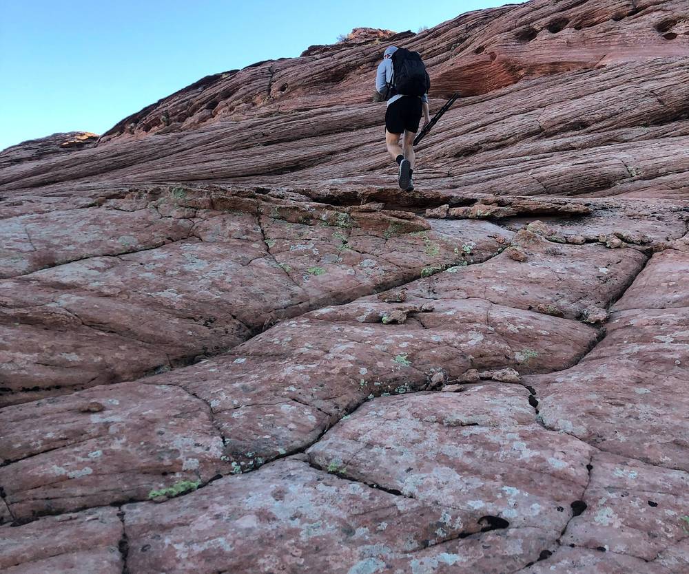
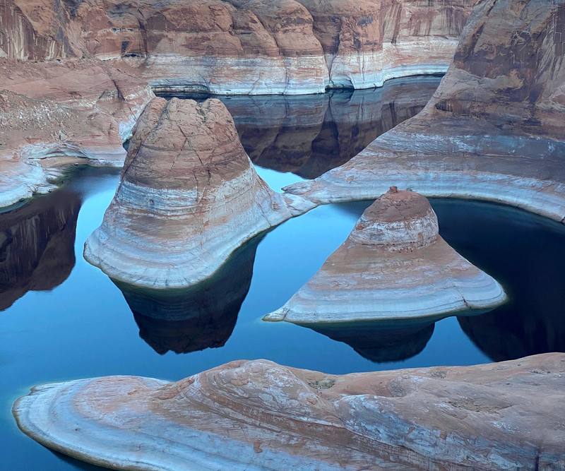
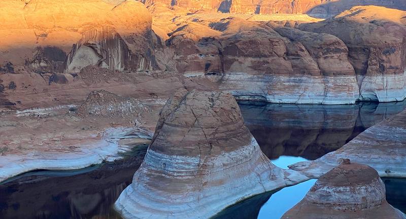
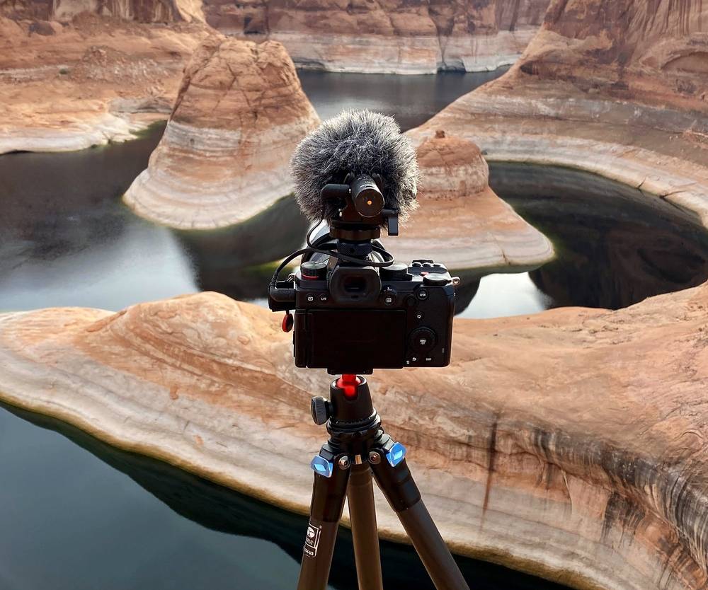
Eventually you come up a hill, and you don't see it until the last second: Reflection Canyon. The water is very still, because it's a reservoir. The hills pop out of it, the rock is really white near the water, and then stratified in different colors above. It really is a beautiful and unique place. We got there at about 4:40 p.m., about three hours from the car. The sun had already left the water.
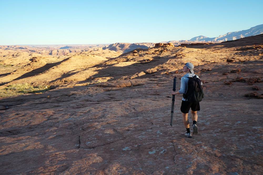
We camped on the rim with our tents, at the spot we found had the best view of the whole area. By the time we got up higher for more shots, everything below was in shadow.
The benches. From the pullout the route heads south along the foot of the cliffs, on a path through sagebrush and sand, and crosses the heads of a couple of gullies. It's high, about 4,300 to 4,480 ft, and gently up and down. This is where we had shade from the ridge in the afternoon.
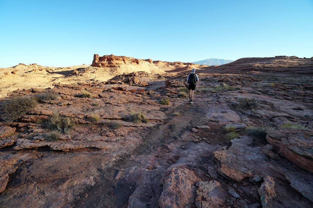
The slickrock. From about mile 5.8 by my GPS the dirt ends and you're on bare sandstone: smooth white and pink rock, with dips and gullies to cross and no trail you can see. There are cairns in places; other hikers report anything from occasional cairns to none for miles. This is where people get lost. Follow your GPS line rather than the cairns, and don't build new ones.
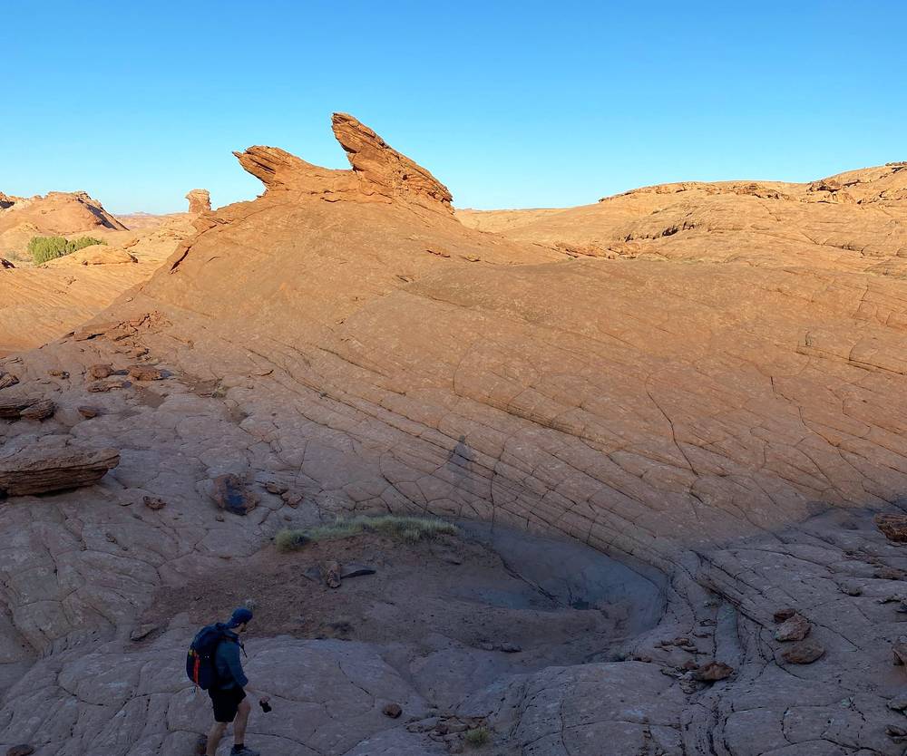
The rim. The ground drops gently toward the lake, and the canyon appears only at the edge, at about mile 8.2 by my GPS, about 3,970 ft (1,211 m). The walls drop sheer to the water. Our camp was a little higher, about 0.15 miles on, about 4,110 ft (1,254 m). You can walk farther along the rim to other high points for a completely different view.
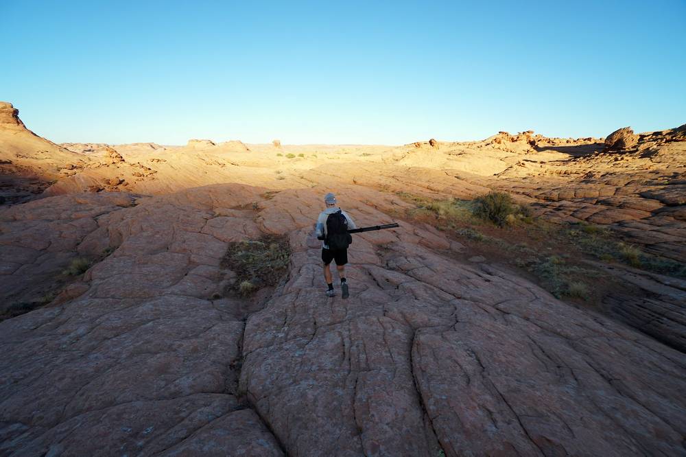
There's only one way: back the way you came. Turn back if you're behind your plan when you reach the slickrock, if you've already drunk half your water, if storms are building (the road is the bigger danger), or if you've lost the line and can't find it again on your GPS. Arriving in the dark on slickrock near a cliff edge is a bad idea: leave time to reach the rim in daylight.
Day 1 · The drive and the route on the map (from 7:58)
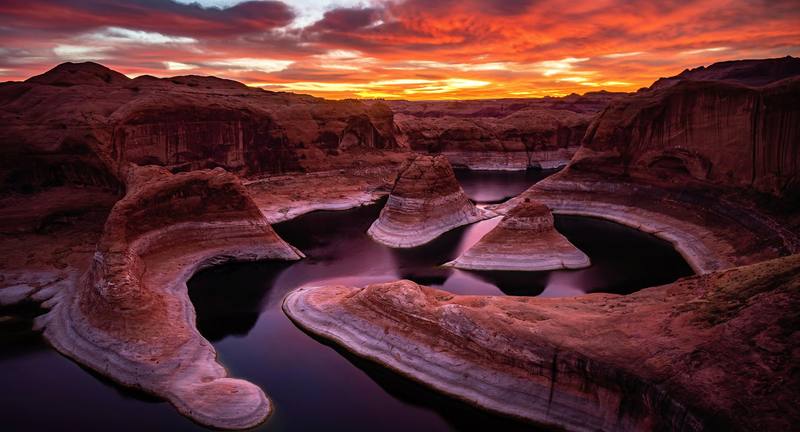
The next morning had some cloud cover, and the sun rising gave a lot of color to the clouds: red, orange and yellow. We took our time getting up, getting sunrise shots and wandering around the rim a little.
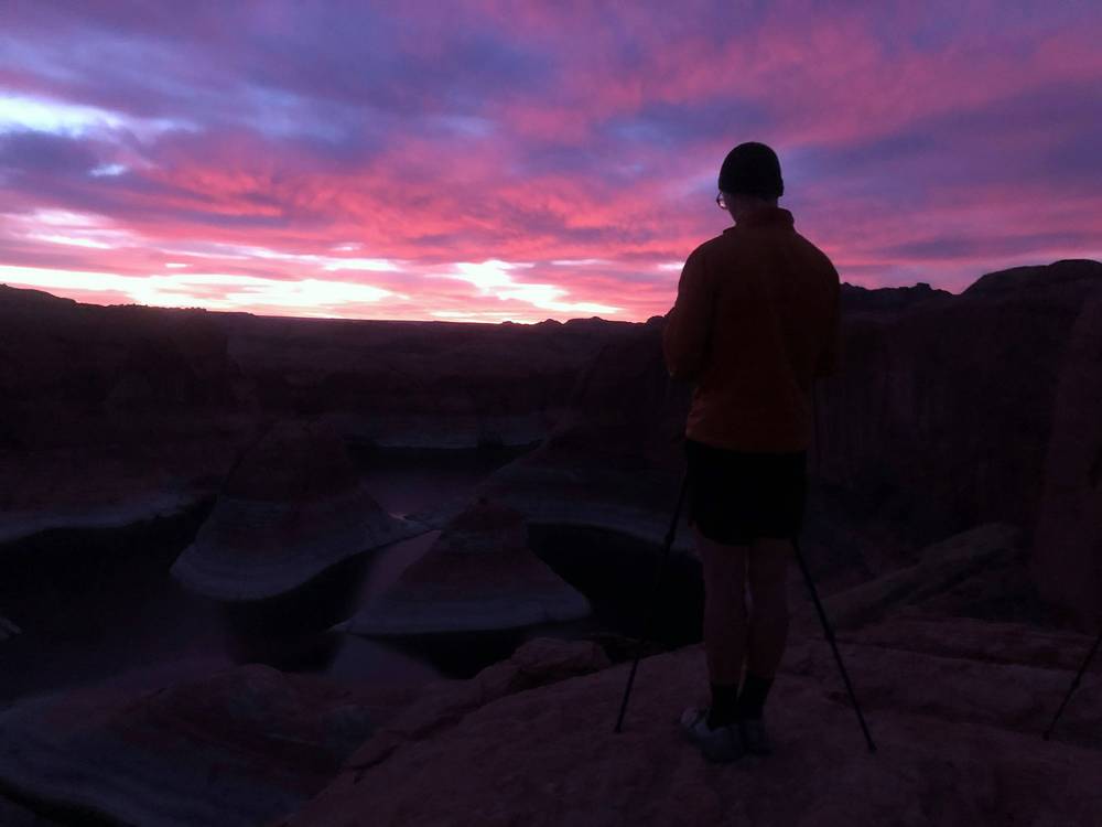
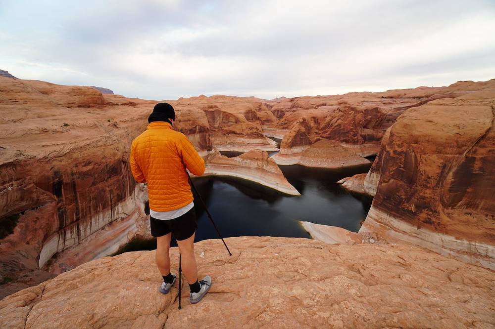
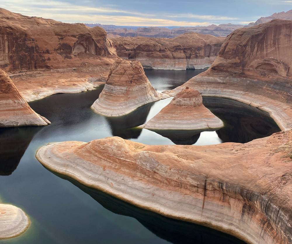
We left at 8:32 a.m. and made our way back the same way. It went quicker: we'd already seen all of it, so we stopped less, filmed less and just booked it back, about two and a half hours of walking. Going back there's a little more climbing, but it's pretty flat for most of the hike. It was overcast, so the temperature wasn't an issue.
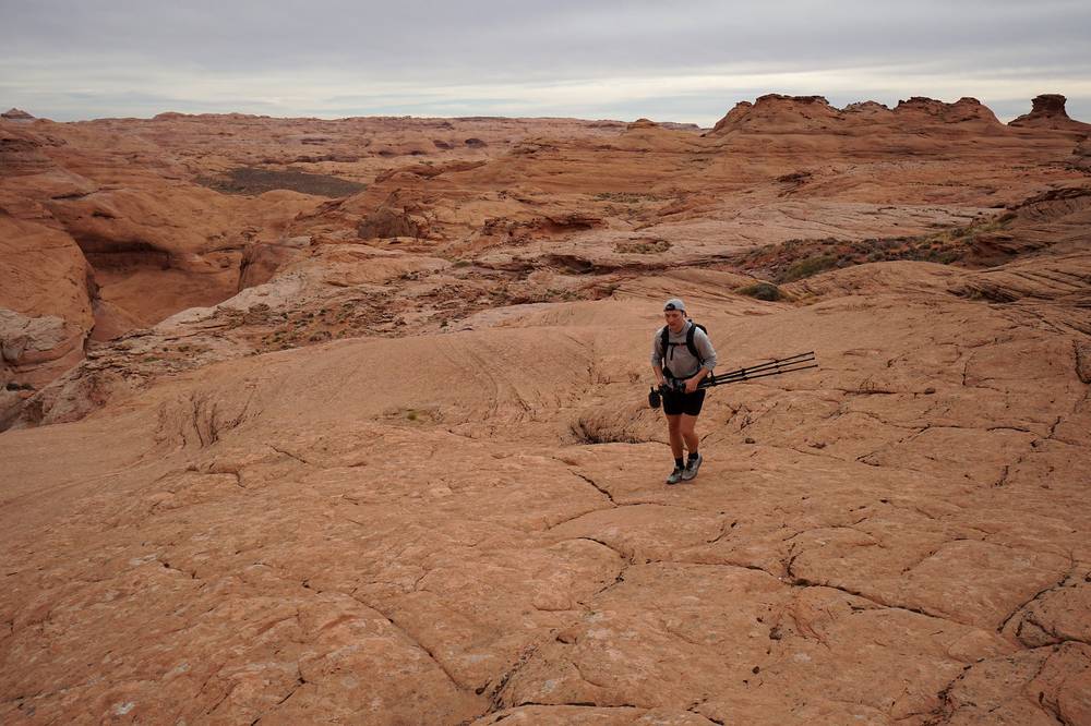
We were back at the car at 11:26 a.m. There were a couple of other people in the parking area; other than that we didn't see anybody. Then we made the long four-wheel drive back to Escalante and had tacos at a taco stand in town (it has since closed; Escalante's taco place in 2026 is Chihuahua Garcia Mexican Grill on Main Street, as reported).
The same line in reverse: the slickrock from the rim for about the first 2.9 miles by my GPS, then the path along the benches. The climbing is a little more than on the way out, about 940 ft by my GPS, most of it gentle, as the ground rises from the lake back up to the road. Watch for where your Day 1 line leaves the slickrock: if you miss it you'll end up on the wrong side of a gully.
You're heading out, so the question is when to wait instead. If a storm hits, wait it out on high ground away from the washes and the rim edge. If you run out of water or someone is in trouble, use your satellite messenger: there's no signal anywhere.
Day 2 · Water, safety and the sunrise (from 10:45)
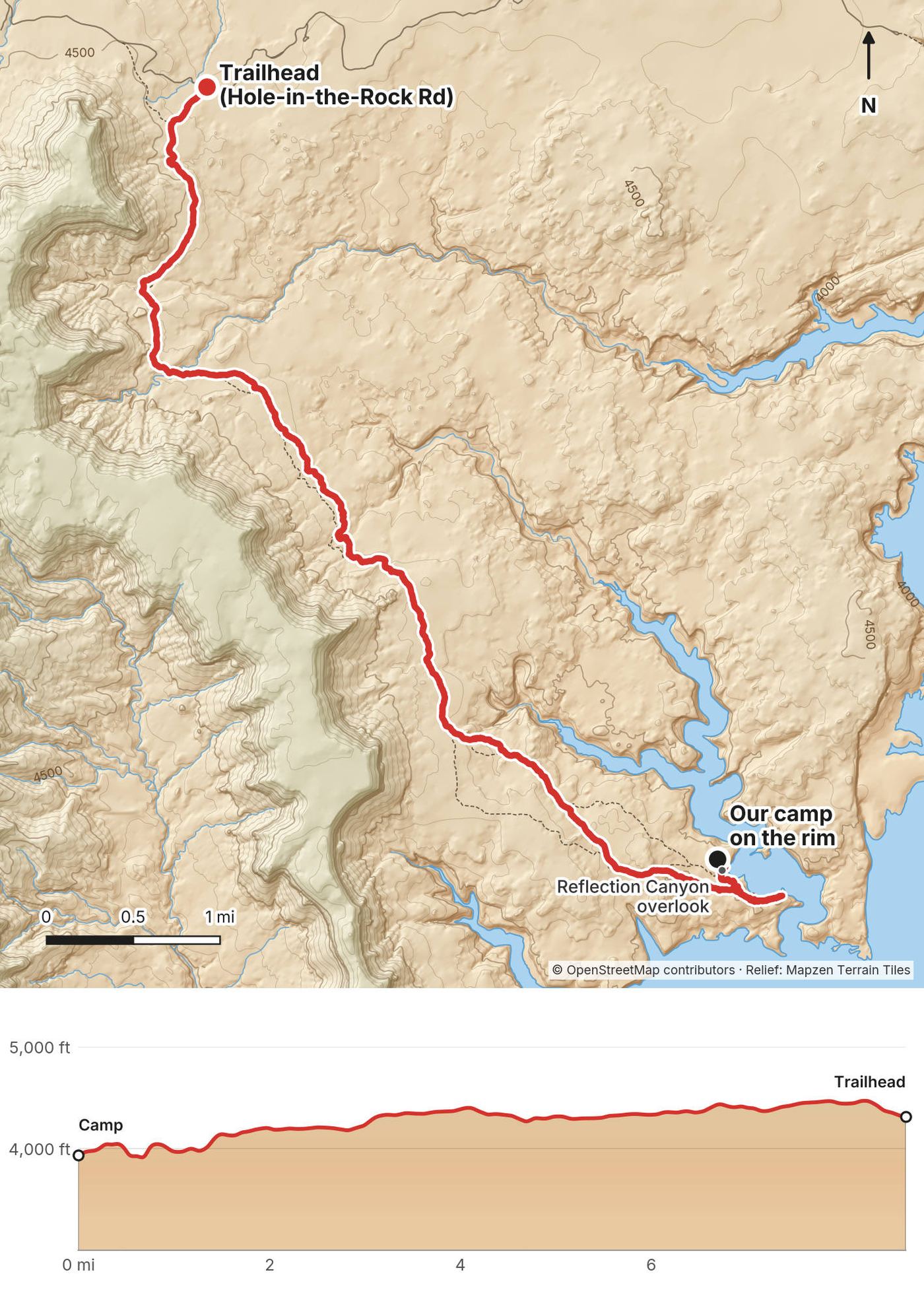
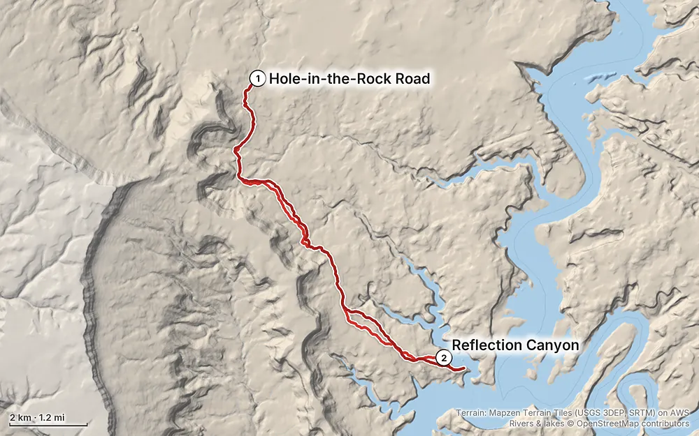
Elevation3,881–4,478 ft17.1 mi
Terrain: Mapzen Terrain Tiles (USGS 3DEP, SRTM) on AWS · Rivers & lakes © OpenStreetMap contributors
Tap a map to open it full size.
Checked on the National Park Service's pages for Glen Canyon National Recreation Area (permits, camping, hiking, fees, alerts and the 2026 Superintendent's Compendium) and the Bureau of Land Management's road report for Grand Staircase-Escalante National Monument, on October 3, 2026.
Open. Glen Canyon's three current alerts (a Lake Powell water advisory, launch ramps and a campground at Lees Ferry) don't touch Hole-in-the-Rock Road or the Escalante District. Reflection Canyon isn't a maintained trail, so the Park Service doesn't list its condition.
The road. The BLM's road report of September 18, 2026 rates Hole-in-the-Rock Road "2WD High Clearance," with flooded areas in places, heavy washboard to Dry Fork, and high-clearance 4WD recommended for the last 7 miles (the trailhead is about 12 miles before the end, so most of that stretch is past it; hikers still advise high clearance and 4WD for the last miles to the trailhead). The BLM also says it isn't updating the report as often as it would like, so call the visitor center for the latest. Garfield County chip-sealed about the first 10 miles of the road in spring 2026, as reported; the rest is gravel and dirt.
Lake Powell is at a record low. The lake was at 3,518 ft on September 30, 2026, by the Park Service's count, after a modern record low in mid-September. The view is still there, but the water in the meanders is lower and narrower than in my November 2020 photos, with more bleached "bathtub ring" on the walls. Check the lake level on the Park Service's Lake Powell page before you go.
What to do. The week before you go, check the BLM road report and the Glen Canyon alerts page, and look at the forecast: rain makes the road impassable.
Early November. We went on November 5 and 6, 2020. The walk out started hot and sunny, but we got lucky with the shade: the sun was behind the ridge for a good part of the afternoon. The next morning had cloud cover, and the walk back was overcast, so the heat was no problem.
The best months. Spring (late March to April) and fall (October to early November). From May to mid-October it's very hot, with no shade anywhere on the route. Glen Canyon reaches 110 °F (43 °C) in summer.
Monsoon and floods. Thunderstorms are most likely from mid-July to September, but they can come at any time. Rain turns parts of Hole-in-the-Rock Road to impassable mud and can strand cars for days. Don't camp in a wash.
Winter. Short days and freezing nights, and snow or rain can close the road.
Weather. Normals for Bullfrog, 4,167 ft (1,270 m), on Lake Powell, about the height of the route (NOAA, 1991 to 2020, as published on Wikipedia):
| Month | High / low °F (°C) |
|---|---|
| March | 63 / 36 (17 / 2) |
| April | 72 / 44 (22 / 7) |
| May | 82 / 53 (28 / 12) |
| September | 88 / 60 (31 / 16) |
| October | 74 / 46 (23 / 8) |
| November | 58 / 34 (14 / 1) |
July averages 100 °F (38 °C). Escalante, at about 5,800 ft, is roughly 7 to 10 °F cooler than the trailhead.
Light. We showed up to the canyon just a little late, at about 4:40 p.m. If we'd been there 30 minutes earlier, the sun would still have been on the water, which is what you want. In early November 2020 the sun set at about 5:20 p.m. there (standard time; before the clocks change in early November it's about 6:20 p.m.), and the canyon walls put the water in shade well before that. The next morning the sun rising behind the clouds gave them a lot of red, orange and yellow. Camp on the rim and you get both.
Emergencies. Call 911 if you can get through; there's no cell service on the road or the route, so carry a satellite messenger. County sheriffs run search and rescue on Hole-in-the-Rock Road, with the BLM and the Park Service. Leave your plan, your route and your return time with someone at home.
Heat. Summers reach 110 °F (43 °C), and there's no shade at all. Hike in spring or fall, start early, and rest in the heat of the day. For dizziness, nausea or a headache, get out of the sun, drink, and wet your clothes.
Water. The rule: carry it all, and more than you think. One hiker carried three gallons a day in September and still ran out a mile from the car, as reported.
Navigation. There's no official trail. The Park Service doesn't maintain or describe the route, and much of it is slickrock where footprints don't show. Have the GPX on your phone and check it often, especially on the slickrock.
The rim. The canyon walls are sheer and very high. Stay back from the edge, especially in the wind, the dark or the morning dew.
Flash floods and the road. A storm miles away can send water down the washes you cross. The bigger risk is Hole-in-the-Rock Road: rain can turn it to mud and strand cars for days. Check the forecast before you drive in.
Wildlife. Rattlesnakes, scorpions and black widows live here. A scorpion sting is usually like a strong bee sting; a rattlesnake or black widow bite needs a doctor right away. Watch where you put your hands.
How hard is it? Not steep, but it's long and hot, and the navigation is the hard part. We were definitely booking it: about three hours out and two and a half back, with only water breaks and stops to film. The first part follows a path through the sagebrush. Past that it's bare white slickrock with no trail you can see, just cairns, and it's easy to get a little lost. That part was kind of fun: it's like running up and down really smooth rock faces, finding the best way across.
How far is it? 8.4 miles out and 8.7 back by my GPS, about 17.1 miles. My film title says 20 miles, and in the film I say eight and a half each way. Other sources give 15.6 to 18 miles for the round trip.
Do I need a permit? Yes, to camp: a free backcountry permit for any overnight stay in Glen Canyon's Escalante District, from the Escalante Interagency Visitor Center (closed Sundays and Mondays), the BLM visitor centers in Kanab or Big Water, or by self-registering at a trailhead (no source confirms a registration box at the Reflection Canyon pullout, so get it in town). There's no quota. A day hike needs no permit. Glen Canyon's entrance fee applies too, and there's no fee station on the road: carry an America the Beautiful or Glen Canyon pass, or buy a 7-day pass online (see What it costs).
Do I need four-wheel drive? We did. My brother's Honda Fit was definitely not an all-terrain vehicle, so we rented a Jeep with real off-road four-wheel drive in Escalante, and we absolutely would not have made it in his car. The road was very bumpy, with a lot of dips through little gullies and big rocks. In September 2026 the BLM rated it passable to high-clearance two-wheel drive, with 4WD recommended for the last 7 miles. Normal rental car contracts don't allow unpaved roads.
Is there water? No. Not on the route, and not from the rim: the canyon walls are massive, smooth and sheer, and there's no way down to the lake. We looked all around. We each carried four or five liters and didn't use it all, but it was November, and the morning walk out was overcast.
Can I fly a drone? No. Drones are banned in Glen Canyon National Recreation Area, which includes the rim. I wish I could have flown one there.
Can I have a campfire? Don't. Glen Canyon bans fires in the Escalante drainages, hikers report fires aren't allowed here, and there's no wood anyway. Bring a stove.
Can I bring my dog? Dogs are allowed in Glen Canyon on a 6-foot leash, but there's no water and no shade, and slickrock and sand get very hot. It's not a good hike for most dogs.
Is there a phone signal? No. Not on the road and not on the route. Carry a satellite messenger and leave your plan with someone.
Start in the morning, not after lunch like we did, and you're on the rim with time to spare for the afternoon light on the water. In warm months, start at first light, rest through the heat, and walk the last stretch in the evening.
It's possible: about 17 miles with no water, no shade and the hardest navigation in the middle. You'd miss the sunset and the sunrise, which is most of the point. The permit isn't needed for a day hike, but sign a trail register if you find one.
With enough water, a second night on the rim gives you two sunsets and two sunrises. Water is the limit: plan at least a gallon (4 liters) a person a day, more in warm weather.
Reflection Canyon is a side canyon of Lake Powell, about lake mile 57. In September 2026 the Halls Crossing ramp was closed and the Bullfrog ramps were limited by the low water, and from the water you don't get the view down onto the meanders. The rim is the way to see it.
These change every year. Everything else in this guide stays the same.
Is it open?
Getting there
Your stuff
The film is at the top of this page.
Planning questions about Reflection Canyon, answered only from this page's facts, the creators' versions and hikers' public tracks, with where each answer comes from. When the data doesn't say, the answer says "not given".
From hikers
Sign in to comment. Free; your hikes stay private unless you share them.
Something wrong or missing on this page? Send feedback.