 Hiking 20 Miles to Reflection Canyon Utah

Kraig AdamsNov 2020 · With friends
- Days
- 2 days
- Direction
- Out and back along the same benches and slickrock
- Cost
- The permit is free
- Lodging
- Tent
North America · United States
Glen Canyon, Utah
Hikes / North America / Reflection Canyon
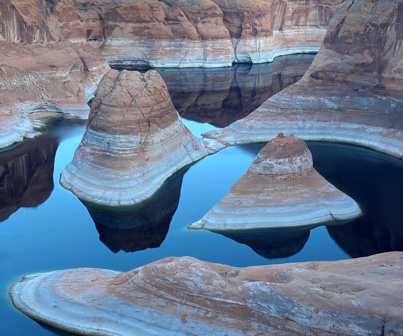
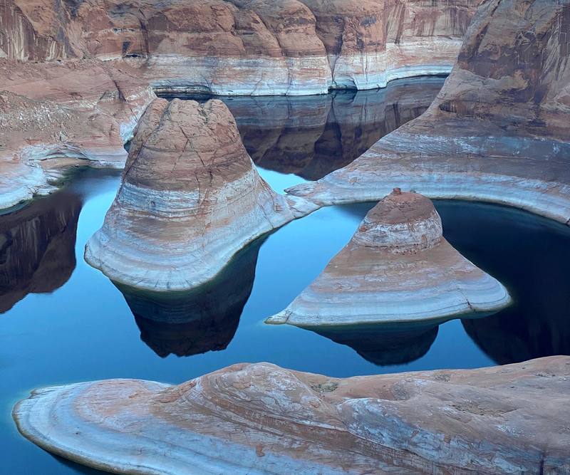
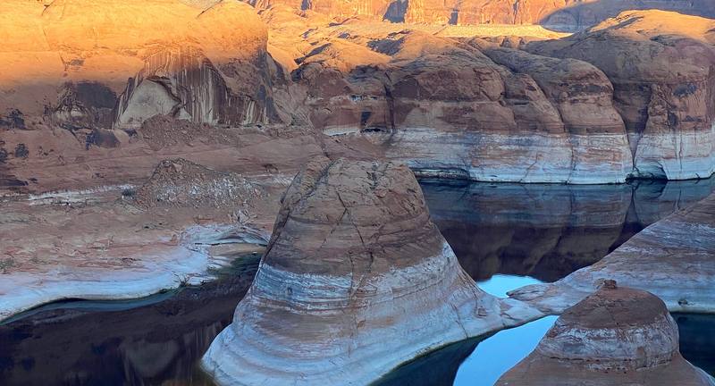
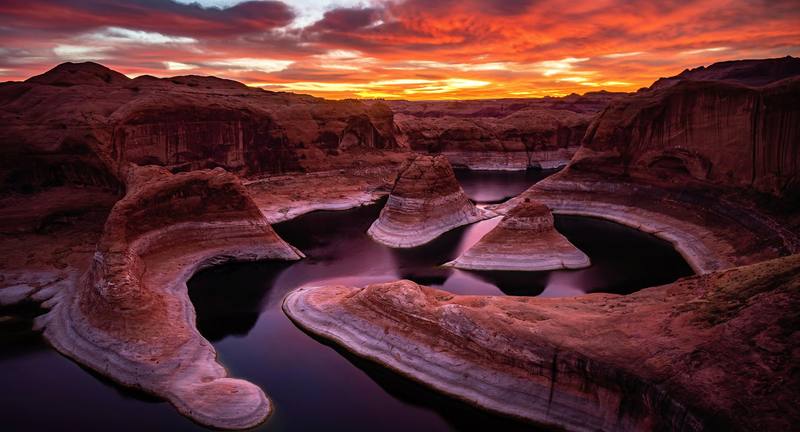
In November 2020 my brother Kurtis and I hiked out to Reflection Canyon, the famous view of Lake Powell's meanders in southern Utah, and camped on the rim. We drove down Hole-in-the-Rock Road from Escalante in a rented Jeep, walked about 8.4 miles across the desert and the slickrock to the rim in an afternoon, camped there for the sunrise, and walked the same way back the next morning. About 17.1 miles round trip by my GPS: 8.4 out and 8.7 back. It's the trip from my film Hiking 20 Miles to Reflection Canyon Utah.
Kraig Adams
Effort at this pace: Moderate · about 9 mi (14 km) and 741 ft (226 m) of climbing a day over 2 days, up to 4,478 ft (1,365 m). Our grade for the days given, worked out from distance, climbing and altitude a day; it isn't the trail's usual difficulty rating (under Basics) and doesn't rate exposure, terrain or weather.
From Kraig Adams's GPS recording and guide.
From Kraig Adams's GPS

Elevation3,881–4,478 ft17.1 mi
From Kraig Adams's GPS. Terrain: Mapzen Terrain Tiles (USGS 3DEP, SRTM) on AWS · Rivers & lakes © OpenStreetMap contributors
Tap a day for his map of it
The film
 Hiking 20 Miles to Reflection Canyon Utah
Before you go
From Kraig Adams's guide
From Kraig Adams's guide
From Kraig Adams's guide. For planning, not navigation: check before you go.
Their films and versions
1 creator so far: Kraig, 2 days, tent.
Hiking 20 Miles to Reflection Canyon Utah
Walked Reflection Canyon? Be the first to share your track: log it with your GPX.
Sign in and log a few hikes to see how long this one would take you.
Typical: 2: an afternoon out, a morning back (the hike's facts).
Planning questions about Reflection Canyon, answered only from this page's facts, the creators' versions and hikers' public tracks, with where each answer comes from. When the data doesn't say, the answer says "not given".
From hikers
Sign in to comment. Free; your hikes stay private unless you share them.
Answered from the data
Kraig Adams hiked it in 2: an afternoon out, a morning back, about 17 miles.
From Kraig Adams's trip and guide.
The permit is free; it comes to about $100 to $200 for two people with your own high-clearance 4WD, or about $800 to $1,100 with a rented Jeep:
From Kraig Adams's trip and guide.
Spring (late March to April) and fall (October to early November). Summer is very hot with no shade, and monsoon storms from mid-July to September can flood the road.
From Kraig Adams's trip and guide.
To camp, yes: a free backcountry permit for any overnight stay in Glen Canyon's Escalante District, from the Escalante Interagency Visitor Center. There's no quota, and a day hike needs none. Glen Canyon's entrance fee ($30 a vehicle in 2026) applies too.
From Kraig Adams's trip and guide.
About 17 miles round trip by my GPS: 8.4 miles out and 8.7 back, from an unsigned pullout at about mile 50 of Hole-in-the-Rock Road. Other sources give 15.6 to 18 miles, depending on the line you take across the slickrock.
From Kraig Adams's trip and guide.
High clearance at least. In September 2026 the BLM rated the road high-clearance 2WD, with 4WD recommended for the last 7 miles; it's impassable when wet. We rented a 4WD Jeep in Escalante, and our small car would never have made it.
From Kraig Adams's trip and guide.
No. There's no water on the route and no way down to the lake from the rim. The Park Service says at least a gallon a person a day; hikers commonly carry 6 to 8 liters each for the overnight in spring and fall.
From Kraig Adams's trip and guide.
No. Drones are banned in Glen Canyon National Recreation Area, which includes the rim.
From Kraig Adams's trip and guide.