Follow the Hiker
Find my next hikeGearSavedKraig Adams
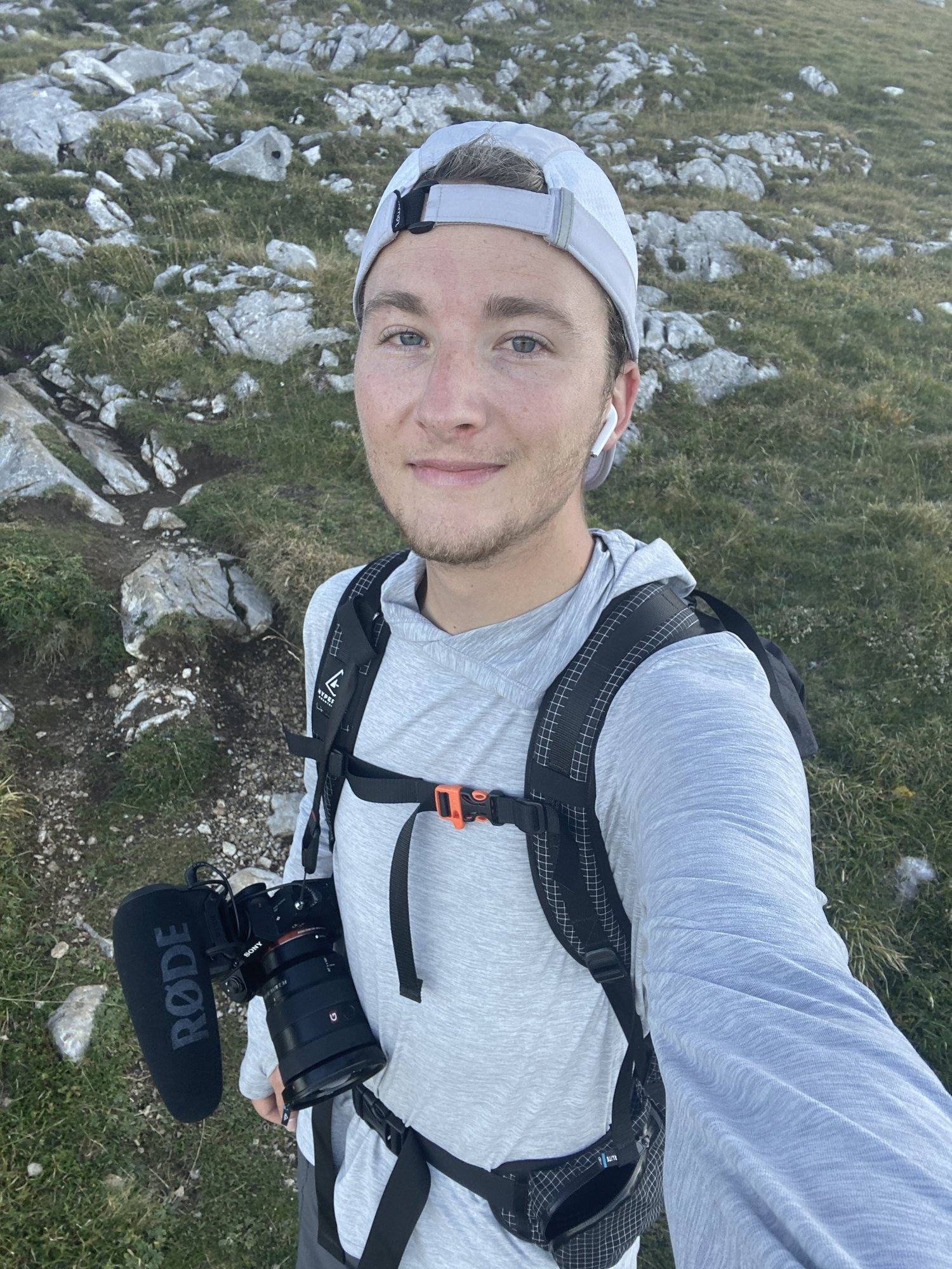
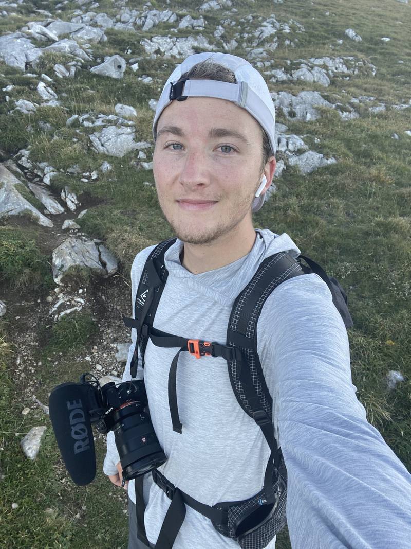
Me on Day 2, coming down from the high ground past Urriellu.
Distance
94.6 mi152.2 km
Days
7 days
Elevation gain
31,621 ft9,638 m
High point
7,457 ft2,273 m
Season
Summer and early autumn
Lodging
Huts and tent
Plan this hike

Hikes / Europe / Picos de Europa

In early October 2019 I hiked alone for seven days through the Picos de Europa National Park in northern Spain: about 90 miles through limestone peaks, deep river gorges, quiet mountain villages and high pastures. I didn't know much about the area before I showed up. A friend planned the trip and convinced me to come, then got hurt on the first morning, so I did it by myself. It was a very difficult trail, but I loved it. In 2020 I called it my favorite hike to that day, and the film is the one I go back and watch by myself.

Kraig Adams

Effort at this pace: Very hard · about 14 mi (22 km) and 4,517 ft (1,377 m) of climbing a day over 7 days, up to 7,457 ft (2,273 m). Our grade for the days given, worked out from distance, climbing and altitude a day; it isn't the trail's usual difficulty rating (under Basics) and doesn't rate exposure, terrain or weather.

Where these numbers come from

From Kraig Adams's GPS recording and guide.

Plan this hikeSave this hike

Plan: dates, gear, deadlines and stays in a private link. Save: keeps it on your account.

From Kraig Adams's GPS

The route, day by day

Relief map of the Picos de Europa route: 7 days drawn in red with numbered day starts, labelled Fuente Dé, Torre de las Minas de Carbón, Refugio de Vegabaño, Sotres and Pico Conjurtao.

Elevation814–7,421 ft94.6 mi

From Kraig Adams's GPS. Terrain: Mapzen Terrain Tiles (EU-DEM, SRTM) on AWS · Glaciers, rivers & lakes © OpenStreetMap contributors

Tap a day for his map of it

  • Read day 1
  • Read day 2
  • Read day 3
  • Read day 4
  • Read day 5
  • Read day 6
  • Read day 7

The film

Watch it first

Hiking 90 miles Alone in Spain

Kraig Adams · Oct 2–8, 2019 · Solo

Me on Day 2, coming down from the high ground past Urriellu.
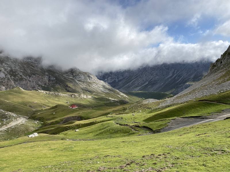
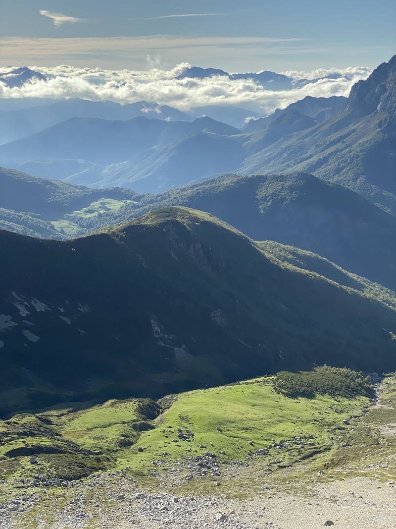
The meadows below Áliva on the morning of Day 1, looking down the Duje valley.
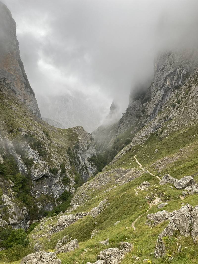
The gorge below Bulnes in the morning mist, on the way down to Poncebos, Day 3.
Late afternoon over the valleys, on the way down toward Vegabaño, Day 5.
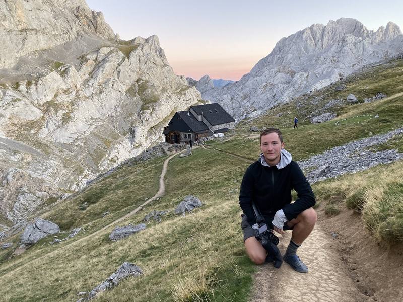
Me below the Refugio Collado Jermoso on the evening before Day 7.

Before you go

The basics

Start
The top station of the Fuente Dé cable car, Cantabria
Finish
The top station of the Fuente Dé cable car, Cantabria
Direction
Loop from The top station of the Fuente Dé cable car, Cantabria
Usual difficulty
In my words: a very difficult trail, even though you pass three towns and plenty of refuges
Best time
Summer and early autumn. I went in early October, at the end of the season
Permits
No permit; I didn't book anything in October, but book the refuges ahead in summer (most use reservarefugios.com). Free camping isn't allowed in the park: a bivouac only above 1,800 m, without a tent except in bad weather, dusk to dawn (2026 rules)
Getting there
I flew into Madrid. My friend rented a car, picked me up at the airport and drove us all the way up. It's a pretty quick drive. I remember at one point being able to see the peaks, and it was really exciting because they were much higher than I expected. We arrived pretty late and ate in Potes or on the way. Spain's timing for lunch and dinner takes some getting used to, so do your own research. We camped at Camping El Redondo, right by the cable car at Fuente Dé. It was cheap and a fantastic choice, because the trail starts right there.
Nearest airport: Asturias or Santander are closest. I flew into Madrid
Lodging
Huts and tent

From Kraig Adams's guide

Costs and gear

What Kraig carried

Hyperlite Mountain Gear Southwest 2400 · REI Passage 1 · Nemo quilt · a washable liner, an inflatable mat and a pillow · a sun hoodie, a white cap, REI zip-off hiking pants and a long-sleeve wool layer · Uniqlo light rain jacket · a hat, scarf and gloves · two pairs of thin wool socks and 20 more.

The full gear list

From Kraig Adams's guide

Safety

Rescue numbers

  • Call 112.

Phone signal

  • Often not.
  • The park says coverage is limited and that 112 calls get through more reliably than normal calls.

Insurance

  • Get travel insurance that covers mountain rescue.

Bail-out points

  • Day 1, Fuente Dé to Sotres. Before the Duje valley, go back up to the cable car. In the valley, follow the track north to Sotres: it's the easy way and saves the whole climb. After the Collado de Valdominguero, keep going down to Sotres.
  • Day 2, Sotres to Cantu Collugos. Before Urriellu, go back down to Pandébano and Sotres. From Urriellu, the busy path down to Pandébano is the way out. After the Horcada Arenera, keep going: the way down to Bulnes is the nearest village.
  • Day 3, Cantu Collugos to Caín. Bulnes has the funicular down to Poncebos. Poncebos has a road down to Arenas de Cabrales, with a shuttle bus in summer (June 1 to October 12 in 2026). In the gorge, go on to Caín or back to Poncebos. Caín has beds, and a road up the Valdeón valley to Posada de Valdeón.
  • Day 4, Caín to Pico Conjurtao. Before the Collado Las Cruces, go back down to Caín. From Vega de Ario, a well-used path runs west to the Lagos de Covadonga. The lakes road is closed to private cars on busy dates (in 2026: Easter, May weekends, every day from June 1 to October 18, and a few late-autumn holidays). On those dates a bus runs between the lakes and Cangas de Onís (2026: EUR 9 return, buslagoscovadonga.es).
  • Day 5, Pico Conjurtao to Refugio de Vegabaño. From Vegarredonda, a well-used path goes down to the Lagos de Covadonga. After the Collada del Frade, keep going to Vegabaño: from there it's about 50 minutes' easy walk down to the village of Soto de Sajambre.
  • Day 6, Refugio de Vegabaño to Collado Jermoso. Posada de Valdeón has beds, food, taxis and a road out. In 2026 the ALSA bus from León and Riaño to Caín and Posada de Valdeón ran on weekends and holidays only, until August 24; outside that, use a taxi. On the climb, go back down to Cordiñanes.
  • Day 7, Collado Jermoso to Fuente Dé. There's no easy way off in the middle. Turn back to the refuge if the weather turns bad early on.

From Kraig Adams's guide. For planning, not navigation: check before you go.

Their films and versions

Creators who've done it

1 creator so far: Kraig, 7 days, huts and tent.

Walked Picos de Europa? Be the first to share your track: log it with your GPX.

Your time

Sign in and log a few hikes to see how long this one would take you.

Typical: 7 days (the hike's facts).

Ask this hike

Planning questions about Picos de Europa, answered only from this page's facts, the creators' versions and hikers' public tracks, with where each answer comes from. When the data doesn't say, the answer says "not given".

    From hikers

    Comments

    Sign in to comment. Free; your hikes stay private unless you share them.

    Answered from the data

    Questions people ask

    How many days do you need for Picos de Europa?

    I did the loop in seven long days in October 2019, hiking from morning until dark, about 90 miles. The refuge version, with a bed every night and shorter stages, takes nine days.

    From Kraig Adams's trip and guide.

    How much does Picos de Europa cost?

    I spent very little on the trail: a cheap hostel, two refuge nights and food. The cable car is EUR 13 one way in October (2026). See what I paid.

    From Kraig Adams's trip and guide.

    When is the best time to hike Picos de Europa?

    June to September is the easiest time, and late June to September is also the busiest. I went October 2 to 8 and had good weather, but it's the very end of the season, when some refuges close and the summer buses stop.

    From Kraig Adams's trip and guide.

    Where do you sleep in the Picos de Europa?

    In staffed refuges and village hostels. Most refuges book through reservarefugios.com. Free camping isn't allowed in the park, and since 2026 a bivouac is only allowed without a tent above 1,800 m, so don't copy my three wild camps.

    From Kraig Adams's trip and guide.

    Do you need to book refuges in the Picos de Europa?

    I didn't. I just showed up in October and there was always space. In summer, book the refuges ahead, and in autumn check each refuge's closing day.

    From Kraig Adams's trip and guide.

    How do you get to Fuente Dé?

    Asturias and Santander are the closest airports; I flew into Madrid and a friend drove. Buses run from Santander to Potes, and in summer on to Fuente Dé. In 2026 the cable car is EUR 13 one way in low season and EUR 17 in high season.

    From Kraig Adams's trip and guide.

    Plan this hikeThe route