Follow the Hiker
Find my next hikeGearSavedKraig Adams
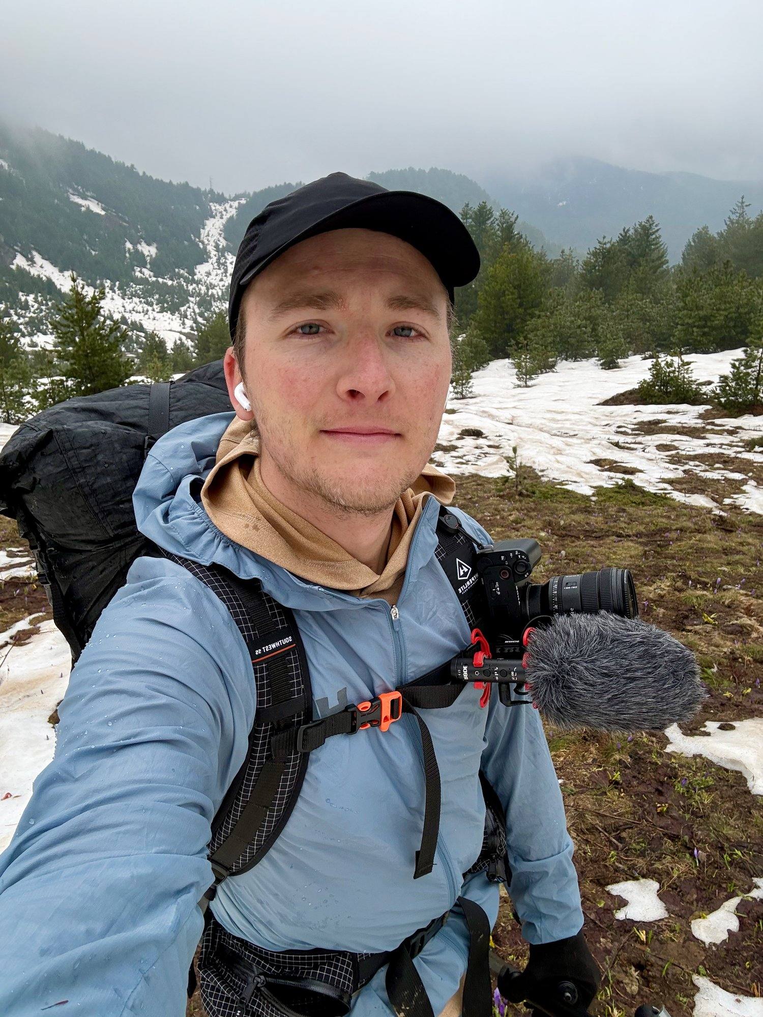
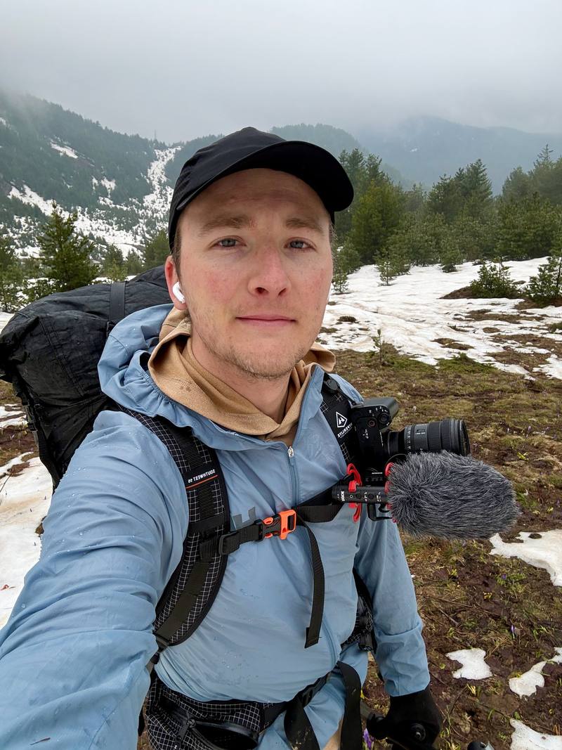
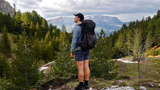
Me on the way up to the ridge above Vusanje on Day 3.

Europe · Kosovo, Montenegro, Albania

Peaks of the Balkans

Kosovo, Montenegro and Albania

Distance
115 mi185.7 km
Days
6 days
Elevation gain
29,892 ft9,111 m
High point
7,448 ft2,270 m
Season
Guesthouse season is summer
Lodging
Huts and tent
Plan this hike

Hikes / Europe / Peaks of the Balkans

In late May 2026 I spent six days hiking the Peaks of the Balkans trail, a loop through the mountains where Kosovo, Montenegro and Albania meet. I started in the Rugova valley in Kosovo, crossed into Montenegro, then into Albania over to Theth and Valbona, and ended at Babino Polje in Montenegro, where snow turned me off the loop. My GPS says 115.4 miles in six days.

Kraig Adams

Effort at this pace: Very hard · about 19 mi (31 km) and 4,982 ft (1,519 m) of climbing a day over 6 days, up to 7,448 ft (2,270 m). Our grade for the days given, worked out from distance, climbing and altitude a day; it isn't the trail's usual difficulty rating (under Basics) and doesn't rate exposure, terrain or weather.

Where these numbers come from

From Kraig Adams's GPS recording and guide.

Plan this hikeSave this hike

Plan: dates, gear, deadlines and stays in a private link. Save: keeps it on your account.

From Kraig Adams's GPS

The route, day by day

Relief map of the Peaks of the Balkans route: 6 days drawn in red with numbered day starts, labelled Shtupeq, Babino Polje and Valbona.

Elevation2,238–7,428 ft115 mi

From Kraig Adams's GPS. Terrain: Mapzen Terrain Tiles (EU-DEM, SRTM) on AWS · Glaciers, rivers & lakes © OpenStreetMap contributors

Tap a day for his map of it

  • Read day 1
  • Read day 2
  • Read day 3
  • Read day 4
  • Read day 5
  • Read day 6

The film

Watch it first

Hiking 100 miles Alone in the Balkans

Kraig Adams · May 20–25, 2026 · Solo

Me on the way up to the ridge above Vusanje on Day 3.
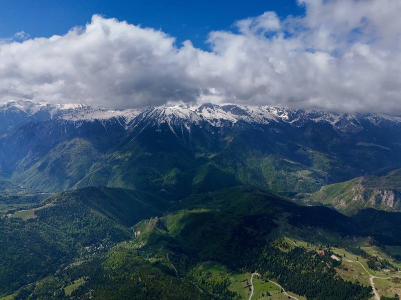
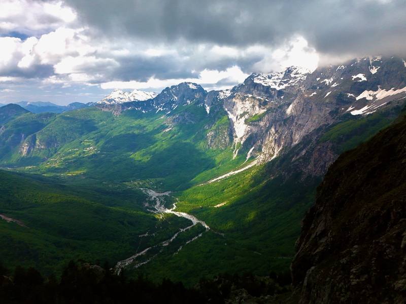
The view from my first high point on Day 1, near Llutovë.
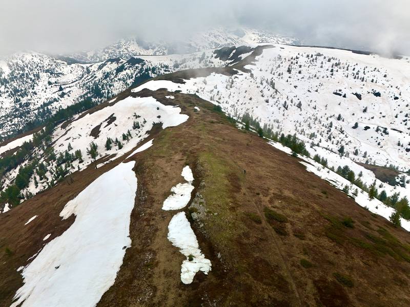
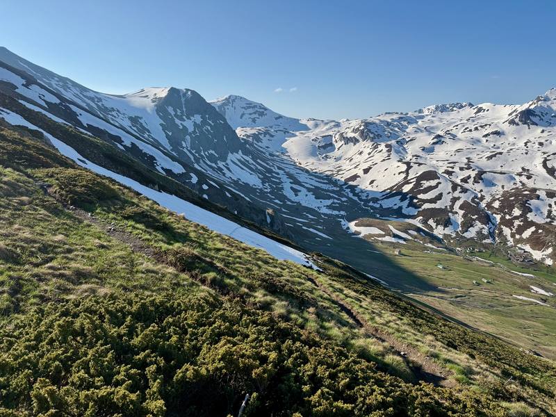
The snowy ridge above Vusanje on Day 3.
The Theth valley from Qafa e Pejës on Day 4.
The icy slopes near where I turned back on Day 6.

Before you go

The basics

Start
Shtupeq i Madh, Rugova valley, Kosovo
Finish
Babino Polje, Montenegro (I left the loop here because of snow)
Usual difficulty
Hard in May: long days, steep snow without a trail to follow, and storms
Best time
Guesthouse season is summer. I went in late May, with a lot of snow
Permits
Yes, to cross the borders on the trail. It's free in Albania and Kosovo, and Montenegro charges EUR 6 per application plus EUR 3 per person (2026). Apply at least two weeks ahead, or pay a local operator to do it.
Getting there
What I did. I met my friends in Istanbul, and we flew from there to Pristina airport in Kosovo. We got our first views of the mountains at sunset on the drive to Hotel Melishta in the Rugova valley, about two hours by road. I packed my hiking gear there and left my roller duffel at the hotel to pick up at the end.
Nearest airport: Pristina (Kosovo), Podgorica (Montenegro), Tirana (Albania)
Lodging
Huts and tent

From Kraig Adams's guide

Costs and gear

What it cost

local operators listed guesthouses at €40 to €55 a person a night with…

His costs, line by line

What Kraig carried

Not given

The full gear list

From Kraig Adams's guide

Safety

Rescue numbers

  • Emergency numbers. 112 works in all three countries. The direct numbers: Albania police 129, ambulance 127; Kosovo police 192, ambulance 194; Montenegro police 122, ambulance 124. Kosovo's Mountain Search and Rescue Service lists 0800 80008 (24 hours). In Montenegro, call 112 for mountain rescue; the Mountain Rescue Service's office number is +382 40 256 084. There's no signal on much of the high ground, so tell someone your plan and carry offline maps.

Phone signal

  • In the villages, mostly.
  • I used a regional eSIM.

Insurance

  • Make sure your travel insurance covers local treatment, evacuation by air ambulance and repatriation.

Bail-out points

  • Day 1, Shtupeq to Lake Drelaj. You're never far from a road today. Drelaj, Kuqishtë and Guri i Kuq are all on roads up from the Rugova valley and Peja.
  • Day 2, Lake Drelaj to Plav. Before the pass, go back down to Lake Drelaj and the Rugova valley. After it, keep going to Babino Polje, where a road runs down to Plav. That road is the shortcut my friends took: from the river crossing they road-walked all the way to Plav and skipped the Hrid lake climb.
  • Day 3, Plav to a camp below Qafa e Pejës. Before the ridge, turn back to Plav. After it, Vusanje is on a road to Gusinje and Plav. Once you're up the Ropojana valley, the nearest beds are back in Vusanje or over the pass in Theth.
  • Day 4, Qafa e Pejës to Valbona. Theth is on a paved road to Shkodër. At the Valbona end, jeeps and vans wait below the pass, and Valbona has a road to Bajram Curri and the Komani lake ferry.
  • Day 5, Valbona to Dobërdol. Before the border ridge, go back to Çerem and down to Valbona. After it, carry on to Dobërdol: there's nothing in between.
  • Day 6, Dobërdol to Babino Polje. This day was my way off. From Babino Polje there's a road to Plav (45 minutes by car).

From Kraig Adams's guide. For planning, not navigation: check before you go.

Their films and versions

Creators who've done it

1 creator so far: Kraig, 6 days, huts and tent.

Walked Peaks of the Balkans? Be the first to share your track: log it with your GPX.

Your time

Sign in and log a few hikes to see how long this one would take you.

Typical: 6 days (the hike's facts).

Ask this hike

Planning questions about Peaks of the Balkans, answered only from this page's facts, the creators' versions and hikers' public tracks, with where each answer comes from. When the data doesn't say, the answer says "not given".

    From hikers

    Comments

    Sign in to comment. Free; your hikes stay private unless you share them.

    Answered from the data

    Questions people ask

    How many days do you need for Peaks of the Balkans?

    Most people take 10 to 12 days, a stage a day, with a guesthouse every night. I walked 115 miles in six days, which meant long days of 17 to 25 miles.

    From Kraig Adams's trip and guide.

    How much does Peaks of the Balkans cost?

    Local operators listed guesthouses at €40 to €55 a person a night with dinner, breakfast and a packed lunch in 2026. My Dobërdol night came to about $50 each with dinner and breakfast. Add permits (free in Albania and Kosovo; €6 plus €3 a person in Montenegro, or €5 a person per crossing through an operator), the Prokletije park ticket in Montenegro (€3 a day), buses and taxis, and a day or two of spare cash for weather.

    From Kraig Adams's trip and guide.

    When is the best time to hike Peaks of the Balkans?

    Roughly mid-June to mid-September, when the guesthouses are open and the snow is gone. I went in late May 2026. The trails were empty, but the high passes were buried in snow and I didn't finish the loop.

    From Kraig Adams's trip and guide.

    Do you need a permit for Peaks of the Balkans?

    Yes, to cross the borders on the trail. It's free in Albania and Kosovo, and Montenegro charges EUR 6 per application plus EUR 3 per person (2026). Apply at least two weeks ahead, or pay a local operator to do it.

    From Kraig Adams's trip and guide.

    Where do you sleep on the Peaks of the Balkans?

    In guesthouses. Families in the villages rent beds and cook dinner and breakfast, and many pack lunch. I also camped twice when there was nowhere else to sleep that high up.

    From Kraig Adams's trip and guide.

    How do you get to the Peaks of the Balkans trail?

    There's a way in from each country: buses from Pristina to Peja and the Rugova valley, from Podgorica to Plav, or minibuses from Shkodër to Theth and the Komani ferry toward Valbona. I flew into Pristina and started in Rugova.

    From Kraig Adams's trip and guide.

    Plan this hikeThe route