 Hiking 100 miles on the Manaslu Circuit Trek in Nepal

Kraig AdamsNov 2022 · Group trip
- Days
- 10 days on foot
- Cost
- Not given
- Lodging
- Teahouses
Asia · Nepal
Himalaya, Nepal
Hikes / Asia / Manaslu Circuit
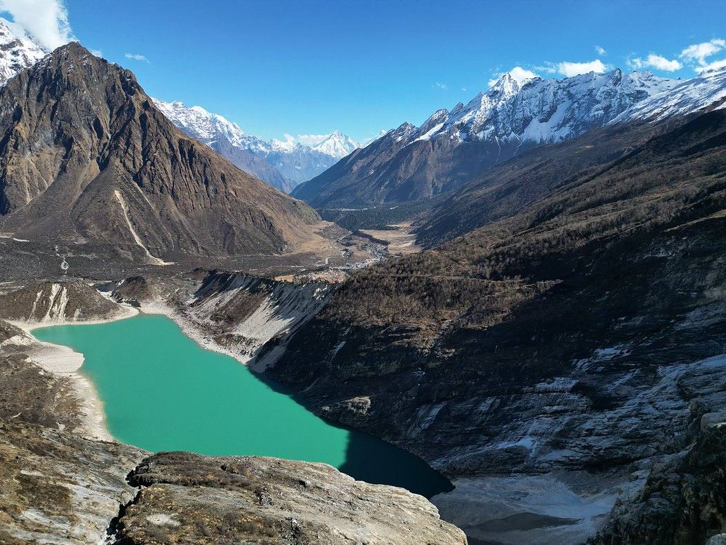
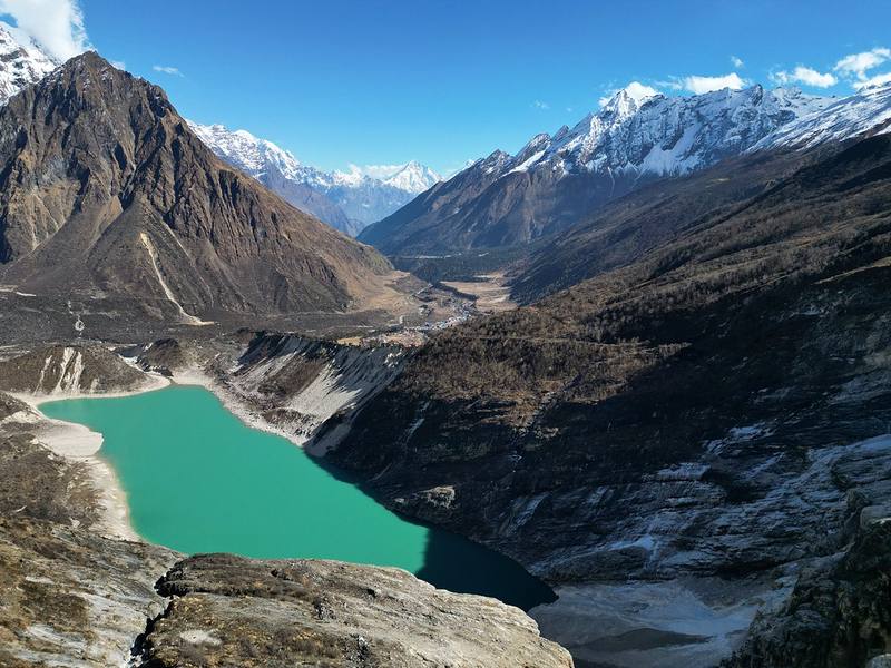
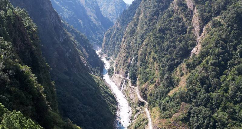
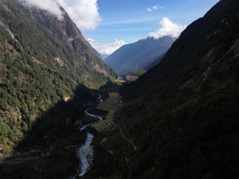
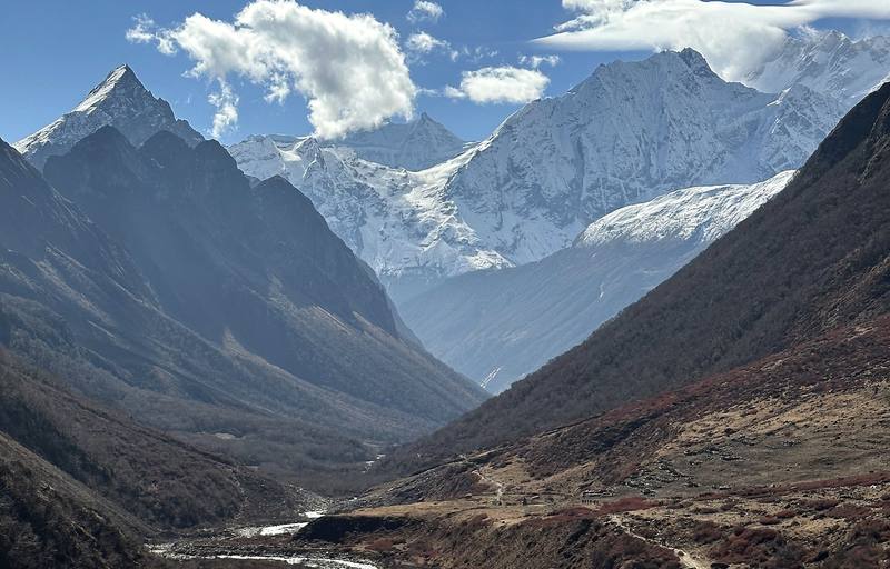
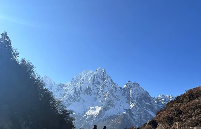
In early November 2022 I hiked the Manaslu Circuit in Nepal: about 100 miles in ten days around the eighth highest mountain in the world, up the Budhi Gandaki valley, over Larkya La and down to Dharapani. It was my third trip to Nepal in three years, after Mardi Himal and Everest Base Camp, and a different area above Kathmandu each time. I love Nepal, and I'll definitely go again.
Kraig Adams
Effort at this pace: Very hard · about 9 mi (15 km) and 3,101 ft (945 m) of climbing a day over 10 days, up to 16,752 ft (5,106 m). Our grade for the days given, worked out from distance, climbing and altitude a day; it isn't the trail's usual difficulty rating (under Basics) and doesn't rate exposure, terrain or weather.
From Kraig Adams's GPS recording and guide.
From Kraig Adams's GPS

Elevation2,641–16,900 ft93.4 mi
From Kraig Adams's GPS. Terrain: Mapzen Terrain Tiles (SRTM, GMTED) on AWS · Glaciers, rivers & lakes © OpenStreetMap contributors
Tap a day for his map of it
The film
 Hiking 100 miles on the Manaslu Circuit Trek in Nepal
Before you go
From Kraig Adams's guide
a day pack · a duffel · The North Face Summit Series Breithorn Hoodie · The North Face ThermoBall Traction Booties · a super lightweight shell · Waterdrop Microlyte cubes · wet wipes and a roll of toilet paper · a mini magnetic chess board and 20 more.
From Kraig Adams's guide
From Kraig Adams's guide. For planning, not navigation: check before you go.
Their films and versions
1 creator so far: Kraig, 10 days, teahouses.
Hiking 100 miles on the Manaslu Circuit Trek in Nepal
Walked Manaslu Circuit? Be the first to share your track: log it with your GPX.
Sign in and log a few hikes to see how long this one would take you.
Typical: 10 days on foot (the hike's facts).
Planning questions about Manaslu Circuit, answered only from this page's facts, the creators' versions and hikers' public tracks, with where each answer comes from. When the data doesn't say, the answer says "not given".
From hikers
Sign in to comment. Free; your hikes stay private unless you share them.
Answered from the data
I walked ten days from Machha Khola to Dharapani, one of them a round trip from Samagaon to Manaslu Base Camp to help with the altitude. Add a day in Kathmandu and a long drive each way, and plan on about two weeks in Nepal.
From Kraig Adams's trip and guide.
March to May or September to November. June to September is the monsoon, and in winter snow can make Larkya La hard or impossible to cross. I walked November 4 to 13, 2022, and it was pretty dry, with blue skies most days.
From Kraig Adams's trip and guide.
The Manaslu restricted area permit, US$100 a person for the first week and US$15 a day after that from September to November in 2026, plus the Manaslu and Annapurna conservation area permits, NPR 3,000 each. Your agency gets the restricted area permit for you.
From Kraig Adams's trip and guide.
Yes. It's a restricted area, and the permit is issued only through a registered trekking agency, with a licensed guide going with you. Since March 2026 a single trekker can get the permit, but still only through an agency and with a guide.
From Kraig Adams's trip and guide.
We drove about nine hours from Kathmandu to Machha Khola, where the trek starts. At the end we drove about five hours from Dharapani to Besisahar and then back to Kathmandu. Ask your agency where the road ends on your dates.
From Kraig Adams's trip and guide.