 Hiking the Laugavegur Trail in Iceland

Kraig AdamsJul 2022 · Solo
- Days
- 12 days, 3 on the Laugavegur
- Cost
- See his costs
- Lodging
- Huts and tent
Europe · Iceland
Southern Iceland
Hikes / Europe / Southern Iceland: the Laugavegur and a group trip
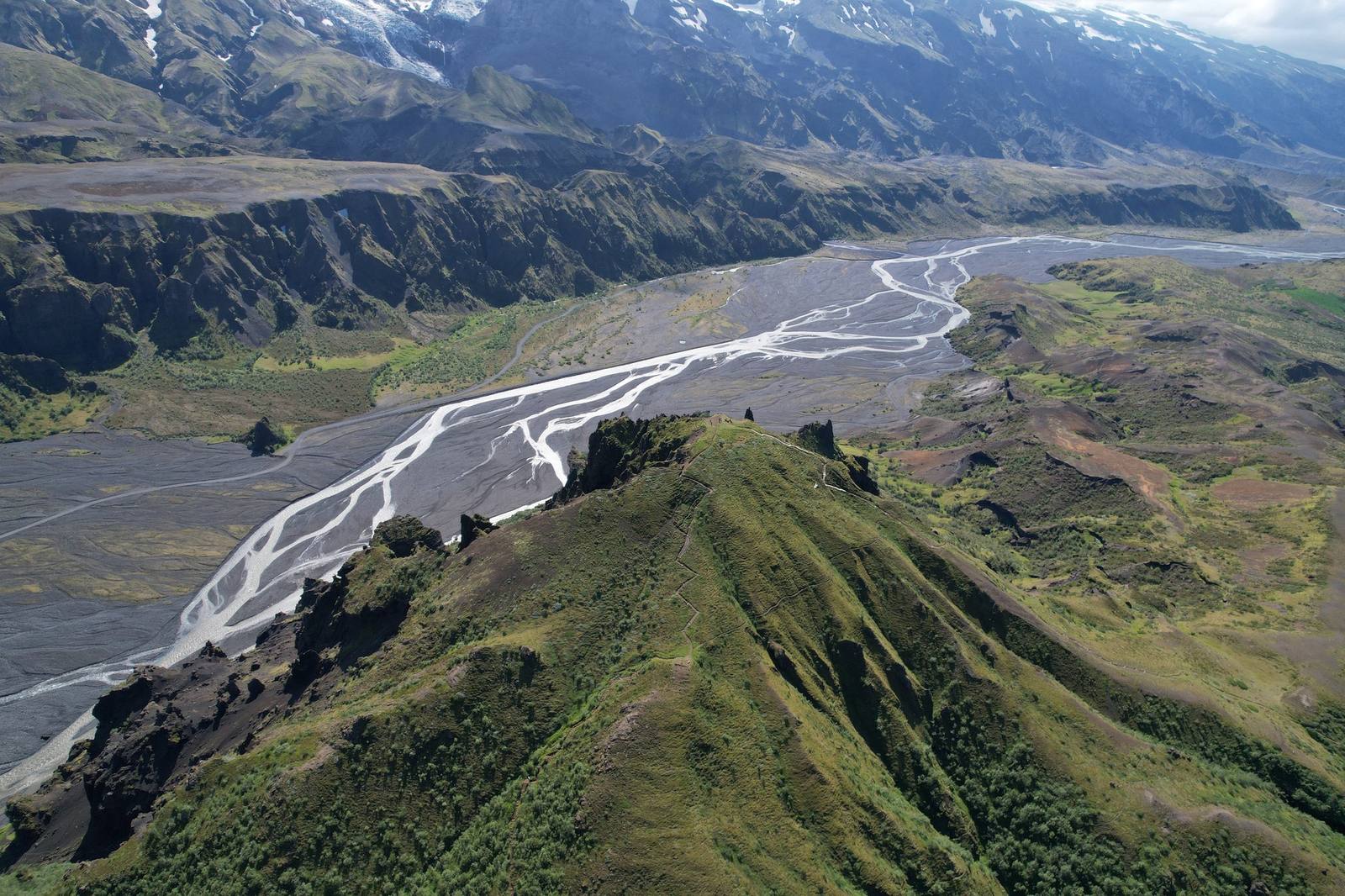
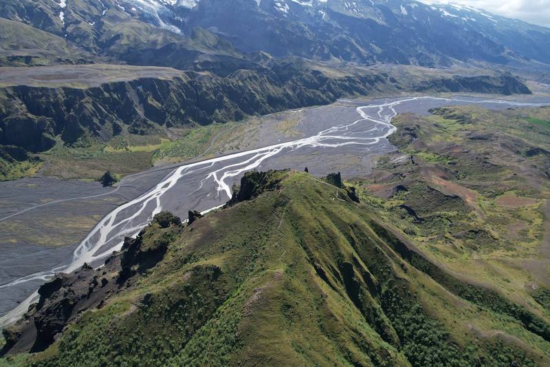
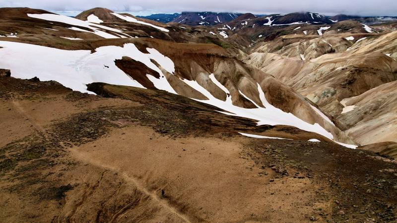
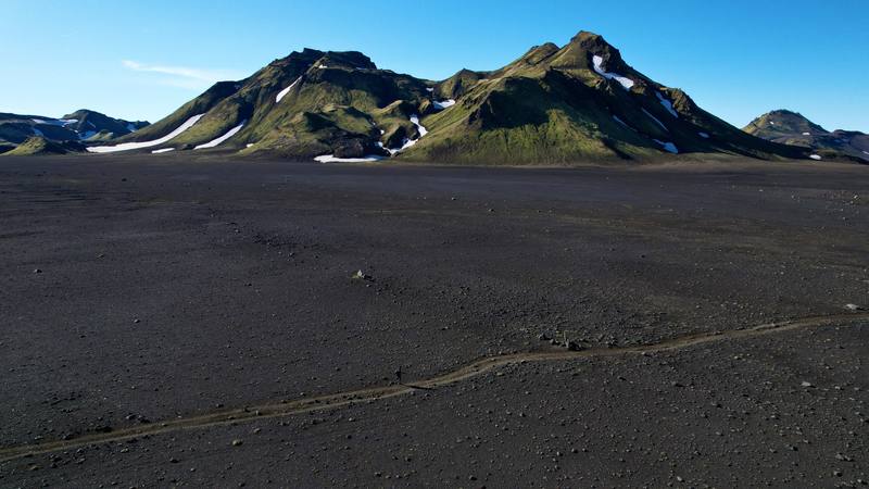
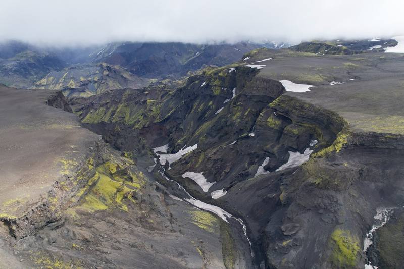
In July 2022 I hiked alone across the highlands of southern Iceland in three days. I started at Landmannalaugar, walked the Laugavegur through the coloured rhyolite hills, the snowfields and the black-sand deserts to Þórsmörk, and then crossed the Fimmvörðuháls pass between two glaciers and followed the Skógá down past waterfall after waterfall to Skógafoss. Technically it's two hikes put together. It came to about 59 miles by my GPS. I camped at the huts and took the highland bus from Reykjavík.
Kraig Adams
Effort at this pace: Easy · about 5 mi (8 km) and 740 ft (226 m) of climbing a day over 12 days, up to 3,442 ft (1,049 m). Our grade for the days given, worked out from distance, climbing and altitude a day; it isn't the trail's usual difficulty rating (under Basics) and doesn't rate exposure, terrain or weather.
From Kraig Adams's GPS recording and guide.
From Kraig Adams's GPS

Elevation33–3,438 ft58.7 mi
From Kraig Adams's GPS. Terrain: Mapzen Terrain Tiles (EU-DEM) on AWS · Glaciers, rivers & lakes © OpenStreetMap contributors
Tap a day for his map of it
The film
 Hiking the Laugavegur Trail in Iceland
Before you go
From Kraig Adams's guide
my Hyperlite pack · a small green NEMO tent · a small gas stove · trail runners · blue and orange camp shoes · a dark rain jacket, an orange insulated jacket and a beanie · Hyperlite Mountain Gear Southwest 2400 · NEMO Hornet Elite OSMO 1P and 22 more.
From Kraig Adams's guide
From Kraig Adams's guide. For planning, not navigation: check before you go.
Their films and versions
1 creator so far: Kraig, 12 days, huts and tent.
Hiking the Laugavegur Trail in Iceland
Walked Southern Iceland: the Laugavegur and a group trip? Be the first to share your track: log it with your GPX.
Sign in and log a few hikes to see how long this one would take you.
Typical: 12 days, 3 on the Laugavegur (the hike's facts).
Planning questions about Southern Iceland: the Laugavegur and a group trip, answered only from this page's facts, the creators' versions and hikers' public tracks, with where each answer comes from. When the data doesn't say, the answer says "not given".
From hikers
Sign in to comment. Free; your hikes stay private unless you share them.
Answered from the data
Most people walk the Laugavegur in four days, sleeping in the huts, and add Fimmvörðuháls as a fifth. I did it in three in July 2022, about 20 miles a day: two days from Landmannalaugar to Þórsmörk and one over Fimmvörðuháls to Skógafoss, 58.7 miles on my GPS.
From Kraig Adams's trip and guide.
Iceland is expensive in general, and this hike doesn't escape that. Any time you buy food it's more expensive than even in New York City. In 2027 an FÍ hut bed is 18,000 ISK a night (about $150) and a campsite 3,600 ISK. See what I paid.
From Kraig Adams's trip and guide.
FÍ says the trail is open on average from June 25 to September 15, and that July and August are the most reliable. In 2026 it opened on July 2, with considerable snow between Landmannalaugar and Álftavatn. I went July 12 to 14, 2022, and walked in snow on the high section and on the pass.
From Kraig Adams's trip and guide.
It's low and not technical: you just have to do the miles. The river crossings are the hardest part; I had cold water up to my waist at one point. The other thing is the weather: wind, rain and sometimes snow and hail. Pick a good forecast window.
From Kraig Adams's trip and guide.
No. The trail crosses protected land where overnight stays are only allowed in huts and at designated campsites, so you camp at the huts and pay per person. I camped at Hvanngil and at the Volcano Huts in Þórsmörk. In 2027 an FÍ campsite is 3,600 ISK a person and a hut bed 18,000 ISK.
From Kraig Adams's trip and guide.
Yes. FÍ, the Iceland Touring Association, expects hikers to have confirmed hut or campsite bookings before they start, and it only books the huts north to south, from Landmannalaugar toward Þórsmörk. Book and pay online at fi.is.
From Kraig Adams's trip and guide.
Check before you go. In late August 2026 FÍ, Útivist and the local rescue team warned against hiking Fimmvörðuháls because glacier retreat had opened ravines and crevasses between the two huts on the pass, and FÍ then marked a detour. There's also no water on the glacial pass, so fill up before the climb.
From Kraig Adams's trip and guide.