 Hiking in Hong Kong

Kraig AdamsJan 2025 · With friends
- Days
- 4 days
- Cost
- See his costs
- Lodging
- Tent
Asia · Hong Kong
Hong Kong
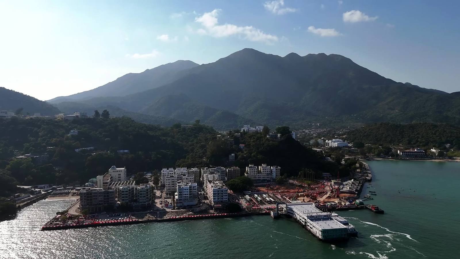
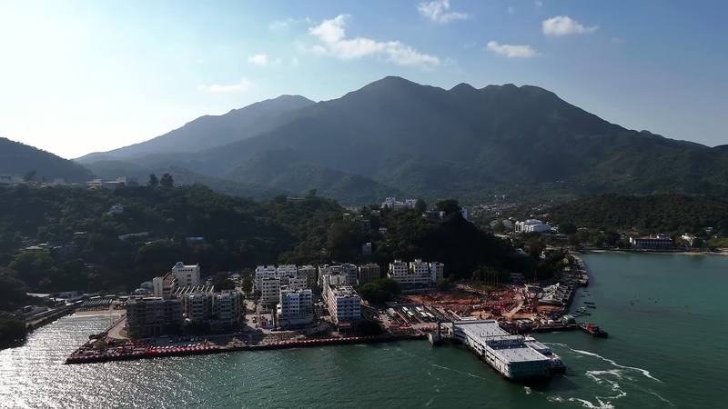
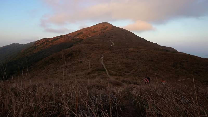
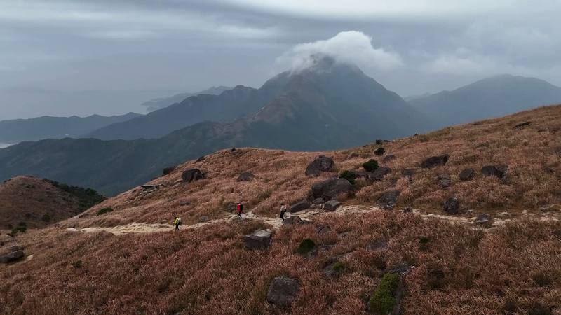
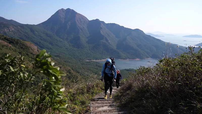
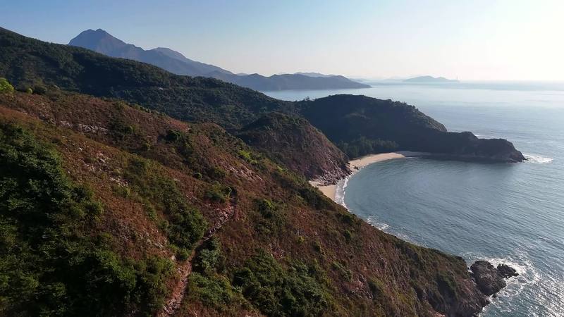
I love visiting Hong Kong. Five years before this trip, my friend Ryan and I hiked the MacLehose Trail across the New Territories, and on the way out we noticed there was one other long-distance trail in Hong Kong, near the airport. We vowed to come back and hike it. In January 2025 we did, with my friend Renee: the Lantau Trail on Lantau Island, the big mountainous island the airport sits next to.
Kraig Adams
Effort at this pace: Moderate · about 8 mi (12 km) and 1,632 ft (498 m) of climbing a day over 4 days, up to 3,064 ft (934 m). Our grade for the days given, worked out from distance, climbing and altitude a day; it isn't the trail's usual difficulty rating (under Basics) and doesn't rate exposure, terrain or weather.
From Kraig Adams's GPS recording and guide.
From Kraig Adams's GPS

Elevation3–2,923 ft29.9 mi
From Kraig Adams's GPS. Terrain: Mapzen Terrain Tiles (SRTM, GMTED) on AWS · Rivers & lakes © OpenStreetMap contributors
Tap a day for his map of it
The film
 Hiking in Hong Kong
Before you go
From Kraig Adams's guide
From Kraig Adams's guide
From Kraig Adams's guide. For planning, not navigation: check before you go.
Their films and versions
1 creator so far: Kraig, 4 days, tent.
Hiking in Hong Kong
Walked Lantau Trail? Be the first to share your track: log it with your GPX.
Sign in and log a few hikes to see how long this one would take you.
Typical: 4 days (the hike's facts).
Planning questions about Lantau Trail, answered only from this page's facts, the creators' versions and hikers' public tracks, with where each answer comes from. When the data doesn't say, the answer says "not given".
From hikers
Sign in to comment. Free; your hikes stay private unless you share them.
Answered from the data
We took four days and three nights for Sections 1 to 8, with a short first afternoon, a half day lost to rain, and long stops in Ngong Ping and Tai O. In the film I say three days; my GPS and my notes say four. AFCD's walking times for Mui Wo to Tai O add up to about 12 hours, so it can be done in two long days.
From Kraig Adams's trip and guide.
I didn't keep a list of what this trip cost me.
From Kraig Adams's trip and guide.
October to March, the cool, dry season. The Hong Kong Observatory says November and December are many people's favorite months. Summer is hot and wet, with typhoons possible from May to November.
From Kraig Adams's trip and guide.
None to hike or to camp at the campsites.
From Kraig Adams's trip and guide.
Mostly, in October 2026. Sections 1 to 6 and 8 are open. Part of Section 7, from south of Kan Tau Au past Tsin Yue Wan to Fan Lau, and Tsin Yue Wan Campsite have been closed since October 10, 2025, after typhoon landslides. Check AFCD's notices at hiking.gov.hk before you go.
From Kraig Adams's trip and guide.
The whole loop is 70 km (43.5 miles) in 12 sections, starting and ending at Mui Wo. I walked Sections 1 to 8, Mui Wo to Shek Pik, which AFCD gives as 43.5 km; my GPS recorded 30.4 miles (48.9 km) over four days, including wandering in Ngong Ping and Tai O.
From Kraig Adams's trip and guide.
Yes, but only at designated campsites: Hong Kong law bans camping elsewhere in country parks. They're free and first come, first served. On or near Sections 1 to 8 they include Nam Shan, Ngong Ping, Man Cheung Po, Kau Ling Chung and Shek Pik. There's no campsite on Sunset Peak.
From Kraig Adams's trip and guide.
Not on the mountains: there's none between Nam Shan and Ngong Ping, over Sunset Peak and Lantau Peak. Fill up in Mui Wo or at Nam Shan, then in Ngong Ping and Tai O. Campsite streams are seasonal.
From Kraig Adams's trip and guide.
Take the ferry from Central Pier 6 to Mui Wo: about 35 to 40 minutes, all fast ferries, HK$33.50 Monday to Saturday and HK$48.50 on Sundays and holidays (2026). The trail starts at the pier.
From Kraig Adams's trip and guide.