
Content made there
The film is at the top of this page.
Photos
Hikes / Kesugi Ridge / Kraig Adams's version
North America · United States
Jun 2020 · about 30 miles · Solo · Tent

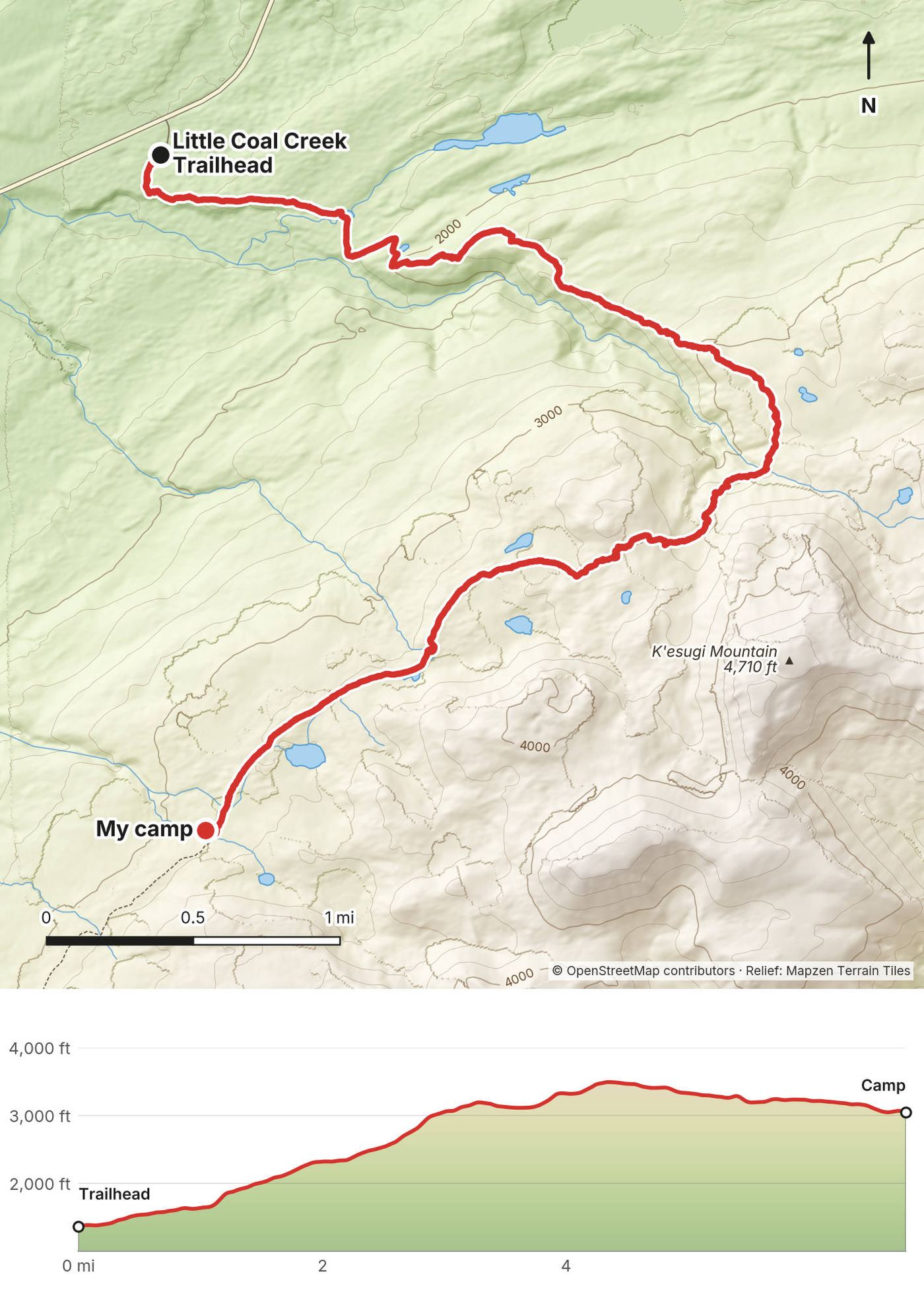
In early June 2020 I hiked the Kesugi Ridge Trail alone in Denali State Park, Alaska. I started at the Little Coal Creek Trailhead on the Parks Highway in the evening, climbed onto the ridge and pitched my tent on the open tundra. The next day I walked the whole ridge south and west and came down to Byers Lake just after midnight. About 32.8 miles (52.7 km) and 5,450 ft (1,660 m) of climbing in two days by my GPS. It's the trip from my film Hiking the Kesugi Ridge Trail in Alaska.
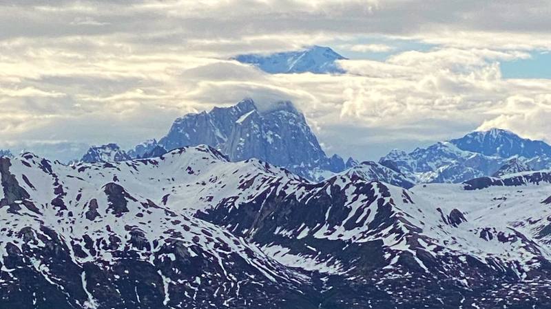
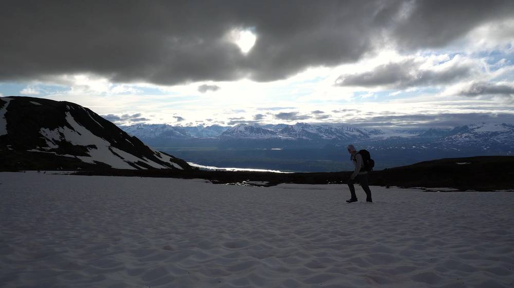
It was before the season. There was deep snow on the ridge, some trees were down across the trail, and I didn't see anyone else. In the film I say it was "definitely way before the normal hiking season." Every now and then the clouds opened and Denali showed above the Alaska Range.
| Quick facts | |
|---|---|
| Distance | 32.8 miles (52.7 km) over 2 days by my GPS. State Parks: 28.9 miles (46.5 km) one way |
| Climbing | About 5,450 ft (1,660 m) up and 6,050 ft (1,844 m) down, by my GPS |
| Days | 2 for me: a short evening climb onto the ridge, then a 26-mile day. Most people take 3 |
| Start | Little Coal Creek Trailhead, Parks Highway mile 163.9, about 1,360 ft (415 m) |
| Finish | Byers Lake Campground, Parks Highway mile 147, about 780 ft (238 m). The trailheads are about 17 road miles apart |
| High point | The north end of the ridge, 3,550 ft (1,082 m) by State Parks; 3,501 ft (1,067 m) by my GPS |
| Terrain | Open alpine tundra, rock and boulders, cairns where the trail is faint; brush and forest at both ends |
| Camp | Anywhere sensible on the ridge; Skinny Lake has the only designated campsite and toilet on the route |
| Water | Streams, ponds and, in early June, snow. Treat it |
| Rules (2026) | $5 to park at the trailheads; no open fires, stove only; dogs under voice control on the trail |
| Day | Route | Miles (km) | Up / down (ft) | Sleep |
|---|---|---|---|---|
| 1 | Little Coal Creek Trailhead to a camp on the ridge | 6.8 (10.9) | 2,226 / 536 | Tent on the ridge, about 3,040 ft |
| 2 | Kesugi Ridge to Byers Lake | 26.0 (41.8) | 3,221 / 5,514 | Byers Lake |
From Anchorage. Drive north on the Parks Highway (Alaska Route 3). Byers Lake is 147 miles (237 km) north of Anchorage (State Parks), and Little Coal Creek about 17 miles beyond it. In the film I say it's "only a three-hour drive north from Anchorage," and my map showed 2 hours 54 minutes to Little Coal Creek. Fill up with gas before you leave the Wasilla area; there's none at the trailheads. There's no bus or train to the trailheads that I could confirm, so you need a car or a shuttle.
The trailheads (Parks Highway mileposts, State Parks).
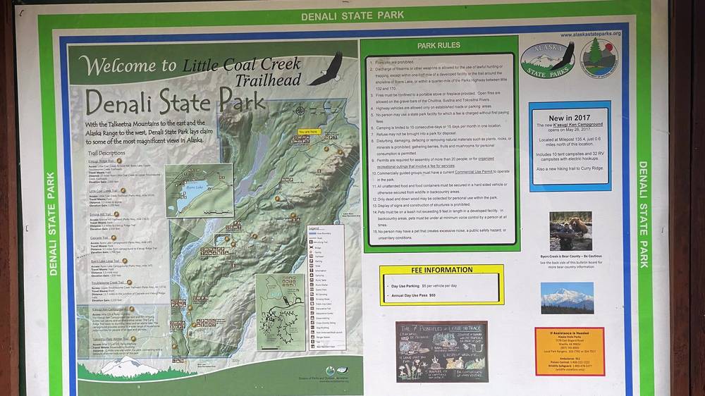
The car shuttle problem. State Parks says every trip on the ridge is one-way and you must arrange your pick-up or drop-off before you start. Your choices:
From Denali National Park. Byers Lake is about 90 miles south of the national park entrance (State Parks).
In the film I say the trip "doesn't cost that much money, if anything, to park your car, like five bucks a night, and then food and supplies for the hike itself." I didn't keep a list of what I spent.
For your budget (October 2026). A 3-day trip from Anchorage for one person with a rental car comes to about $725:
| Item | Cost |
|---|---|
| Rental car, 3 days at about $182 a day (summer 2026, as reported) | about $550 |
| Gas, about 330 miles round trip at 25 mpg and about $5 a gallon | about $65 |
| Parking at Little Coal Creek, about 3 days at $5 a day (check with State Parks) | about $15 |
| Bear spray, rented in Anchorage (as reported) | about $15 |
| Stove fuel, one 8 oz canister (as reported) | about $7 |
| Food, 3 days (a rough allowance) | about $75 |
| Total | about $725 |
Two people sharing the car pay about $400 each. Extras: a night at Byers Lake Campground, $20; a Byers Lake cabin, $80 plus the booking fee; the trailhead shuttle (no published price: call); bear spray to keep, about $52.50; a bear canister to keep, about $85 to $120 (as reported); a Talkeetna flight, about $304 to $558 (2026).
| Night | Where | Height |
|---|---|---|
| 1 | My tent on the open ridge, 6.8 miles from Little Coal Creek | about 3,040 ft (927 m) |
| 2 | Byers Lake | about 780 ft (238 m) |
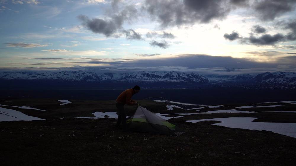
On the ridge. There are no marked campsites except at Skinny Lake. Pitch on durable ground, away from water and the trail. The ridge has no shelter, so pick a spot out of the worst wind and stake your tent well.
Byers Lake Campground. 73 sites, $20 a night, toilets and water, a 15-night limit (State Parks, 2026). State Parks' page says first come, first served, with no online reservations; a third-party site says some sites can be booked (as reported). Check before you go.
Byers Lake cabins. Three public-use cabins, $80 a night plus a $4.50 booking fee, for up to six people, five nights at most, booked online through Alaska State Parks.
Lakeshore sites. The park brochure shows six remote campsites across the lake, about two miles from the loop trailhead. Their fees and booking: check with the area office.
The night before. Denali View South campground (mile 135.2) and K'esugi Ken campground are also in the park. Talkeetna has inns: see Talkeetna.
Food. I carried everything. On the trip I had a Mountain House meal at camp, coffee and breakfast in the tent, an orange on the ridge and ramen in the trees, and one beer chilled in the snow. In the film I say I "did have some comforts as far as food." Buy your food in Anchorage. Talkeetna has a small general store.
Stove fuel. Fuel canisters can't go on a plane. Buy them in Anchorage. Alaska Mountaineering & Hiking sells them (as reported); a Talkeetna outfitter says it sells white gas but not canisters (as reported).
Water. In early June I melted snow at camp and filled my bottle from snowmelt streams. Later in the summer, hikers report many streams and ponds, but also a long stretch on the second half where water is hard to reach (as reported). Fill up whenever you can after Skinny Lake. Treat all of it.
From my film (I have no full gear list for this trip):
What this trail needs:
I packed at my car at the Little Coal Creek Trailhead on Monday, June 1, 2020, used the restroom and filled in the envelope at the fee station. I started walking at 6:43 p.m.
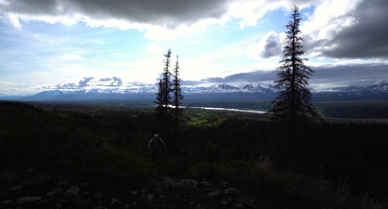
The trail climbs through brush and trees, then out onto open slopes with the Alaska Range across the valley. By my GPS I climbed from 1,360 ft to about 3,460 ft in the first 4.5 miles.
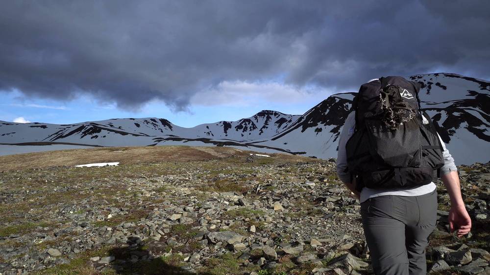
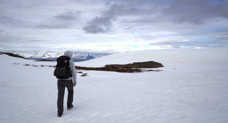
On top the ridge was wide and rocky, with patches of snow and a few long snow slopes. I walked past a still pool reflecting the clouds, touched some tiny pink flowers growing in the rocks, and crossed a stream on a snow bridge.
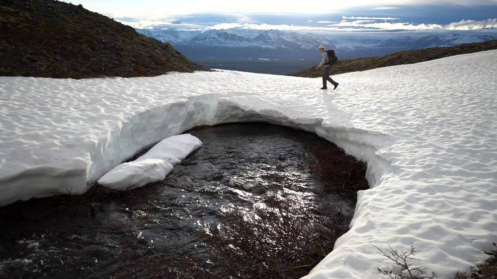
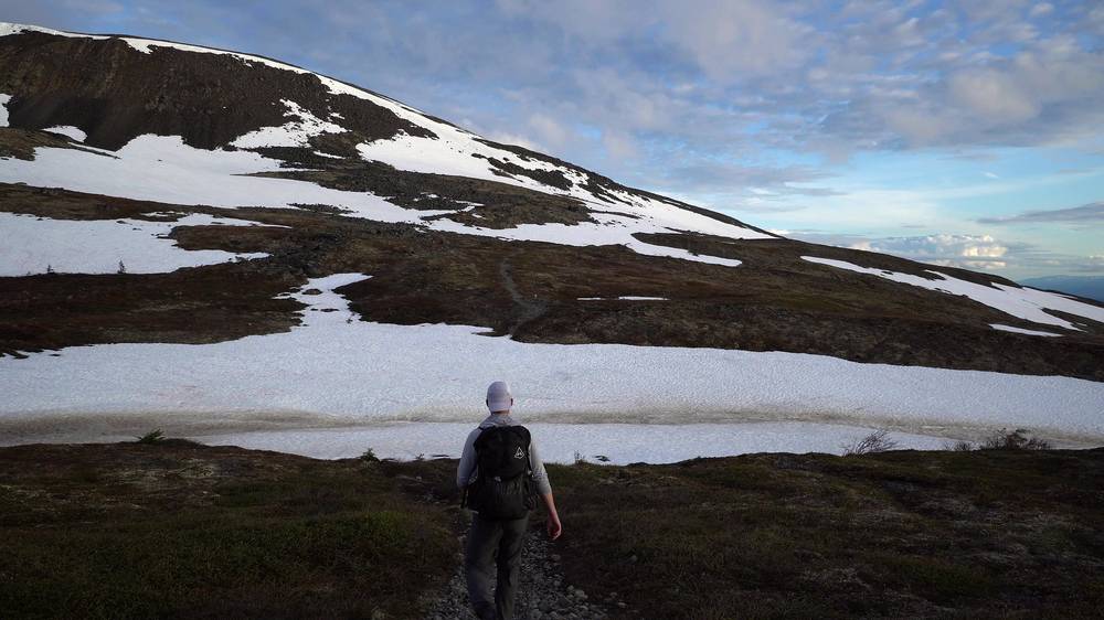
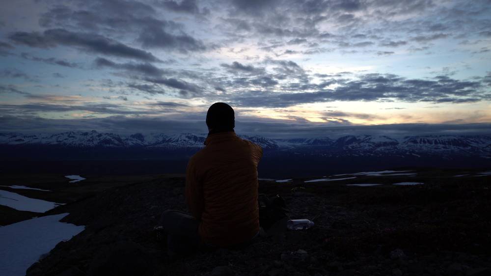
I stopped at 10:18 p.m., 6.8 miles from the car by my GPS, and pitched my green tent on the open ridge at dusk, with a yellow pad and a black sleeping bag. I pushed a can of beer into the snow to chill, lit my stove, melted snow for water and made a Mountain House meal. I ate it sitting on the tundra while the sun went down over the mountains. Later there was a thin crescent moon over the snow.
Little Coal Creek Trailhead. At mile 163.9 on the Parks Highway, about 1,360 ft. The trail leaves from the parking lot by the trail board.
The Little Coal Creek Trail. State Parks gives it as 3.3 miles (5.3 km) and 1,750 ft (533 m) of climbing to the north end of the Kesugi Ridge Trail. Its older park brochure says 2,200 ft. It's the steepest climb of the trip: brush and forest low down, then open slopes.
The north end of the ridge. State Parks calls it the high point of the trail, at 3,550 ft. From here the Kesugi Ridge Trail runs southwest along the ridge. The ground is open tundra and rock, with cairns where the trail is faint. In early June much of it was under snow.
My camp. About 3,040 ft, on open tundra a couple of miles past the high point. There are no marked sites up here: pick flat, durable ground away from water.
The top of the Little Coal Creek Trail. If clouds are down on the ridge, the wind is strong or you're running late, go back down: this is the shortest way off the north end. Once you're on the ridge, the next way off is the Ermine Hill Trail, about 9 miles past my camp.
Day 1, Little Coal Creek to a camp on the ridge (from 0:00)
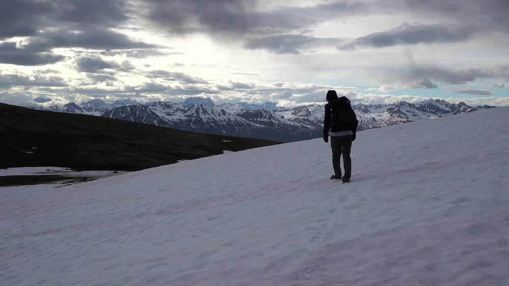
I had coffee and breakfast in my tent, packed up and left camp at 8:54 a.m. on Tuesday, June 2. The first hours were the snowiest of the trip: long snowfields of deep, soft snow. I filled my water bottle from a stream running through the snow, passed cairns on the rocky stretches and stopped on a rock to eat an orange. I reached my high point of the day, 3,366 ft, at 11:17 a.m., 4.5 miles from camp.
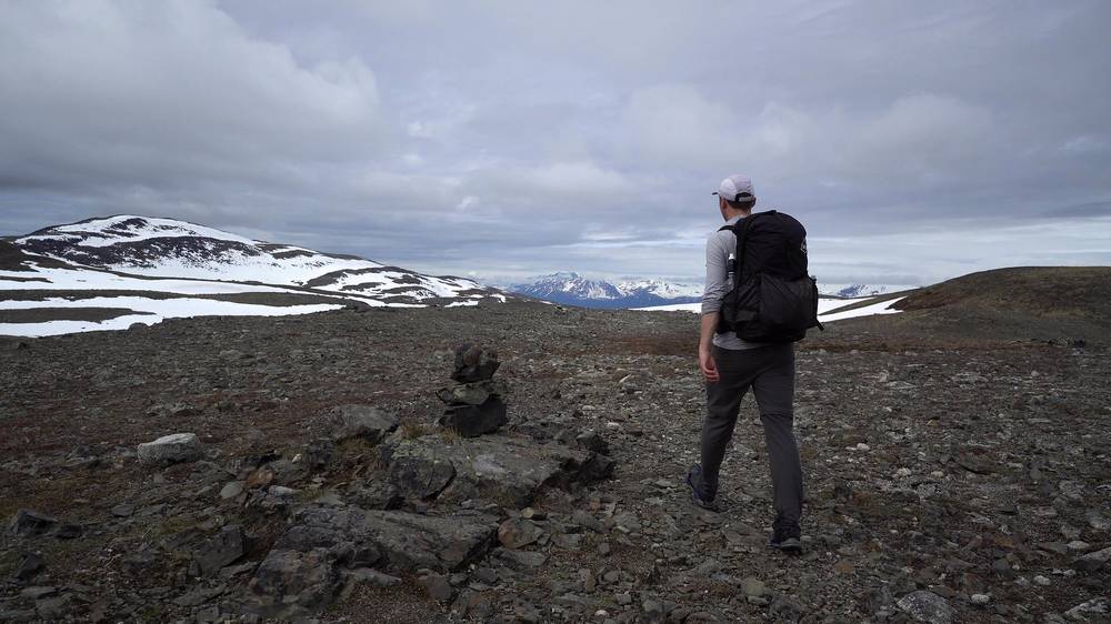
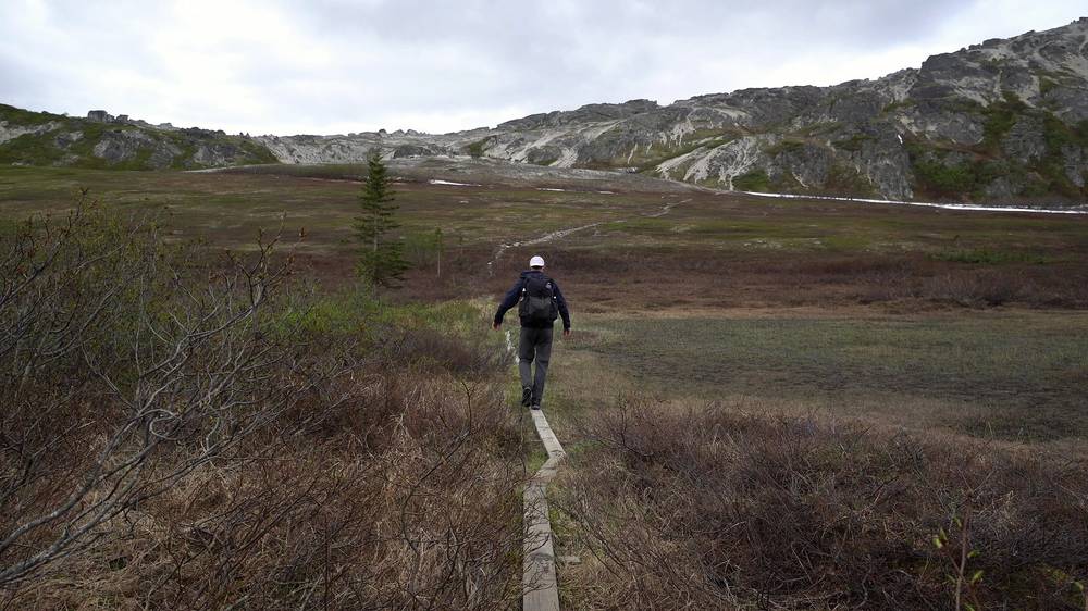
Past the high point the trail dropped across tundra and boulders, then over a boardwalk through a marsh and into a rocky valley with a small lake. By my GPS I passed the Ermine Hill junction about 9.2 miles from camp, then went down into the trees. There I made ramen and ate it sitting on a log. My longest stop of the day, 40 minutes, was at mile 10.8, about 1,600 ft up.
Then the trail climbed back out. At about 5 p.m., 13 miles into the day, I reached Skinny Lake, long and narrow and still partly frozen, then walked over smooth grey rock ridges. After that came more climbing, tundra lakes and cliff edges above the valley.
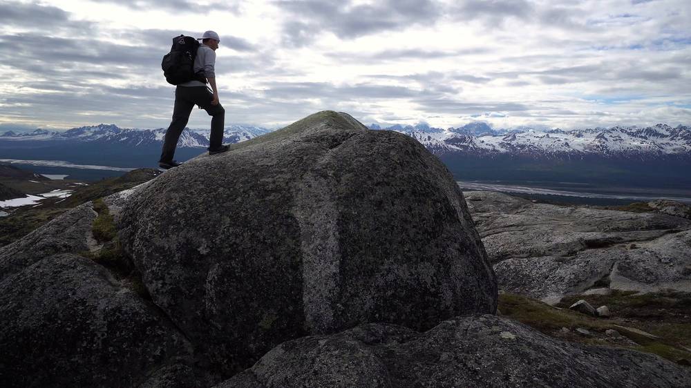
By 9:20 p.m. I was about 20 miles from camp. Later the sun went down over the river in the valley. I crossed a last steep snow slope, and in the dusk I could see Byers Lake below. I came down through the forest and reached Byers Lake at 12:06 a.m. In the film I describe it as "a really long day up and down all the way to the end by Byers Lake." I camped there that night.
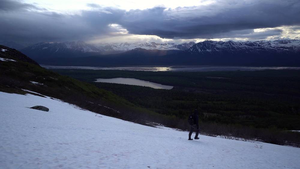
Along the ridge to Ermine Hill. State Parks gives the Kesugi Ridge Trail as 10.8 miles (17.4 km) from the Little Coal Creek junction to the Ermine Hill junction, with about 900 ft of climbing north to south. It rolls over open tundra, rock and boulder fields, with cairns where the trail is faint. In low cloud, this is where a map, compass and the GPX file earn their place.
The Ermine Hill junction. About 16 miles from Little Coal Creek by my GPS, at about 2,300 ft. The Ermine Hill Trail goes down 3.7 miles to the highway at mile 156.5. State Parks warns about Giardia in the creek on that trail.
Down and up to Skinny Lake. After the junction, State Parks says the trail drops about 900 ft, then climbs past Skinny Lake to the 2,970 ft rounded summit of Golog. My track went down to about 1,530 ft in the trees and reached Skinny Lake, at about 2,100 ft, about 19.8 miles from Little Coal Creek. Skinny Lake has the route's only designated campsite and toilet.
On to the Cascade junction. State Parks gives 11.2 miles (18.0 km) and about 2,000 ft of climbing from the Ermine Hill junction to the Cascade Trail junction, at the south end of the ridge. By my GPS it's about 28 miles from Little Coal Creek. Tarn Point, a 2,880 ft lookout, is about a mile on along the ridge trail from the junction.
The Cascade Trail. About 2 miles (3.2 km) and 1,800 ft (549 m) down, steep, past a waterfall, to the Byers Lake Loop at the east end of the lake. State Parks rates it difficult. Then the loop trail runs along the shore to the campground, about 1.6 miles by my track.
The Ermine Hill junction is the big decision point. If you're tired, the weather is turning, or it's later than you planned, take the Ermine Hill Trail down to the highway. Skinny Lake, a few miles further on, is the place to camp instead of pushing on. After the Cascade junction the quickest way off is down the Cascade Trail to Byers Lake.
Day 2, Kesugi Ridge to Byers Lake (from 3:53) · Behind the scenes: when to go and how I did it (from 9:31)
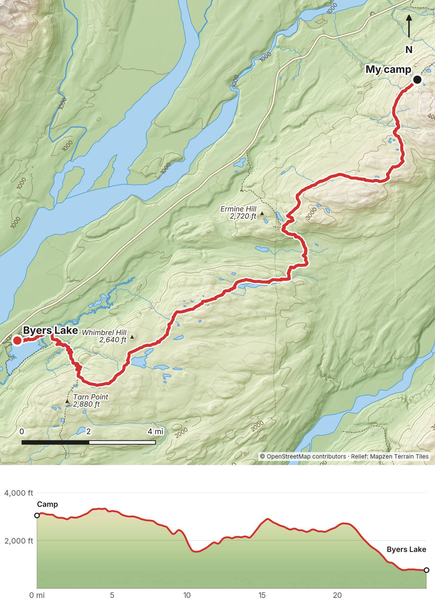
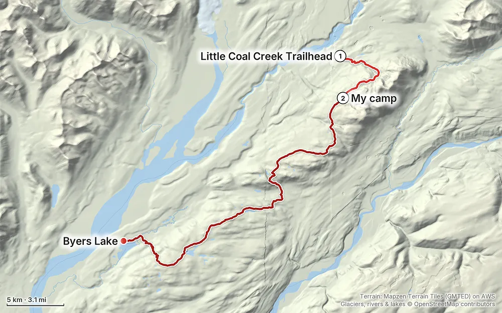
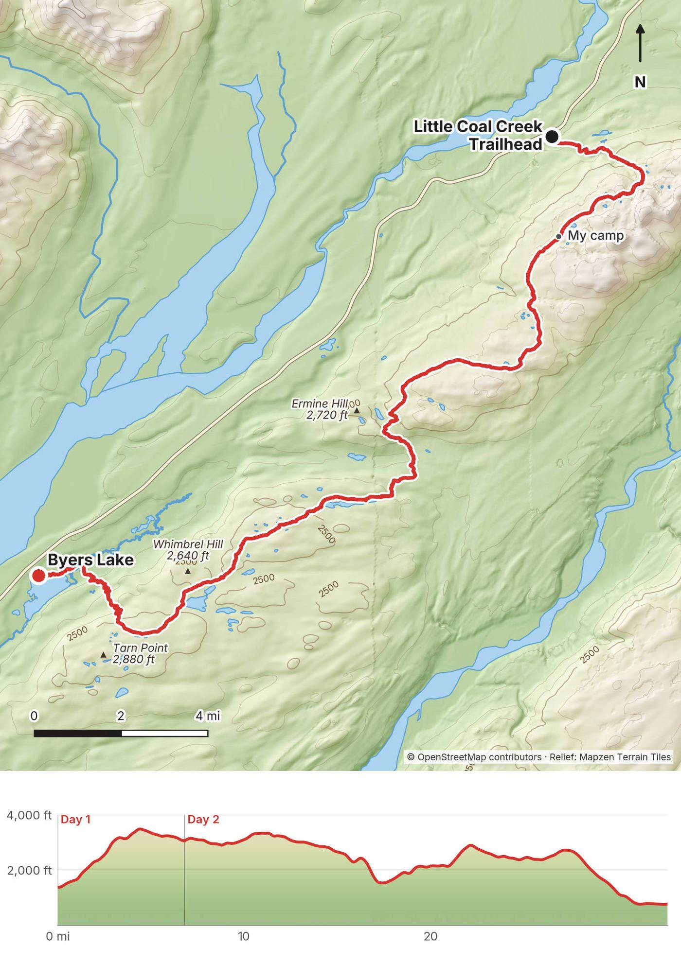
Elevation741–3,501 ft32.8 mi
Terrain: Mapzen Terrain Tiles (GMTED) on AWS · Glaciers, rivers & lakes © OpenStreetMap contributors
Tap a map to open it full size.
Checked on the Alaska Department of Natural Resources (DNR) State Parks pages on October 10, 2026.
Open, as far as I could find. State Parks' Denali State Park conditions report of October 9, 2026 lists the Kesugi Ridge, Little Coal Creek, Ermine Hill and Cascade trails with muddy sections, cooler temperatures and snow on top of the ridge, and no closures. Byers Lake Campground's loops and Denali View North close October 19, and so do the Little Coal Creek facilities; K'esugi Ken Campground was closed for the season (day-use and cabin parking still open). I found no 2025 or 2026 closure or fire on the Kesugi Ridge Trail itself, and a trail race from Little Coal Creek to Byers Lake was scheduled for August 8, 2026 (as reported). Check State Parks' trail condition reports before you go.
Bear closures. State Parks closes trails in the park when bears gather.
Upper Troublesome Creek. In its October 9, 2026 report State Parks calls the Upper Troublesome Creek Trail, the far south end of the trail system, a wilderness route where bushwhacking and wayfinding are critical, and says travel is not advised. It's not on this route.
The season. State Parks says the best time is late June to mid-September. From October there is snow on the ridge, the campgrounds and trailhead facilities close for the winter, and the Talkeetna flightseeing seasons have ended. For a 2027 trip, plan on late June to mid-September.
The road. The Parks Highway is paved. In winter, storms can make it difficult (as reported). Check 511.alaska.gov, the state's road report, before you drive.
Checked on the Alaska DNR State Parks pages and Denali State Park maps on October 10, 2026.
Where you are. The Kesugi Ridge Trail is in Denali State Park, run by Alaska State Parks (Mat-Su Area office, (907) 745-3975). It isn't in Denali National Park, whose entrance is about 90 miles north of Byers Lake.
Fees (2026). A $5 day-use fee, or an Alaska State Parks annual parking pass, to park at the Little Coal Creek, Ermine Hill and Byers Lake trailheads. $20 a night for a site at Byers Lake Campground. $80 a night for a Byers Lake public-use cabin, booked online. In 2020 I filled in an envelope at the fee station at Little Coal Creek. How overnight parking is paid now: check with the area office.
Fires. State Parks prohibits open fires. Use a camp stove on the ridge.
Camping. The only designated campsite and toilet on the route is at Skinny Lake. Elsewhere State Parks says the rolling ground "offers good camping." I found no group-size limit or backcountry permit; check with the area office if you're a large group.
Dogs. On a leash in the parking lots, under voice control on the trail.
Food. State Parks doesn't say that bear canisters are required here. It does say canisters may be available at the Veterans Memorial visitor center at mile 147 (summer only); call the area office first.
Hunting. The park is open to hunting and trapping. No shooting within half a mile of developed facilities and the Byers Lake trail, or within a quarter mile of the Parks Highway.
Byers Lake. The lake is closed to gasoline motors and aircraft.
Waste. Pack out all trash.
Early June. I hiked June 1 to 2, 2020. The ridge still had deep, soft snow, long snowfields, snow bridges over streams and a partly frozen lake, and trees were down on the trail. I didn't see anyone. In the film I say "it did get a little cold, so I definitely brought my winter set of gear." In the film I say it was "definitely way before the normal hiking season."
Later is better. In the film I say it would "probably be better to do this trail a little later where it's warmer, greener, there's no snow." State Parks says the best time is late June to mid-September.
Bugs. Hikers report heavy mosquitoes and flies early in the season and few by late September (as reported).
Blueberries and bears. In late summer there are blueberries on the ridge, and State Parks says bears are most likely to be seen in the August blueberry season. My line in the film: "if there's blueberries, there might be bears, so make sure to bring your bear spray."
Fall. Hikers who went in September describe fall colors on the tundra and clear views of Denali (as reported). The park is open to hunting, and fall hunting seasons overlap September hikes. Check the Alaska Department of Fish and Game for dates, and wear something bright.
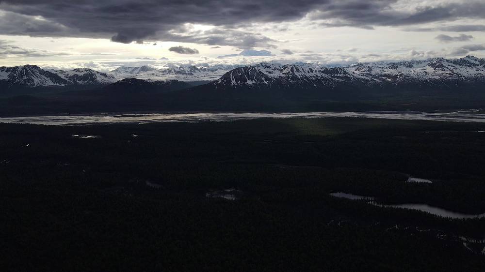
Denali. The mountain is often in cloud. I saw it only in glimpses: "ever so often the clouds would part and you would glimpse what seems like a mountain on top of a mountain." Don't plan the trip around seeing it.
Weather. State Parks says the weather on the ridge can change fast. Be ready to turn around or wait out bad weather, and carry warm, rainproof gear even in midsummer.
Emergencies. Call 911. Don't count on a phone signal on the ridge: a satellite messenger is your link out. State Parks: "Always tell someone where you're going and when you plan to return." The Mat-Su Area State Parks office is (907) 745-3975.
Bears. Denali State Park has black and brown bears. State Parks says to be bear aware and make noise so you don't surprise a bear, and it closes trails when bears gather. State Parks says black and grizzly bears are most likely to be seen during the August blueberry season and along salmon streams, like Troublesome Creek, in July and August (October 2026).
Weather and fog. State Parks says the weather can change fast and to be ready to turn around or hunker down. On the ridge there are no trees and no shelter. In low cloud the trail is easy to lose: follow the cairns, check the GPX track and your map, and stop if you can't see the next cairn.
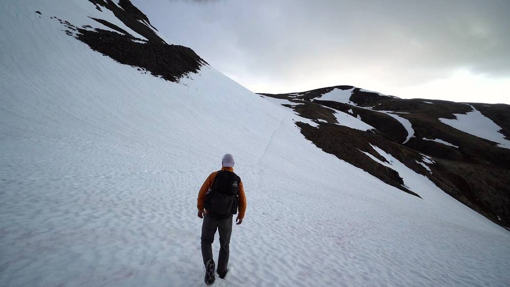
Snow. In early June I found deep, soft snow, long snowfields and snow bridges over streams. A snow bridge can give way under you. Cross where you can see the stream is shallow, or go around. Soft snow is slow, wet and tiring: it's a big part of why my second day took 15 hours.
Cold. Bring warm, rainproof gear: State Parks says you can get hypothermia even in midsummer. I brought my winter set of gear in June.
Water. State Parks says always to purify drinking water, to avoid Giardia.
Hunting season. The park is open to hunting. In fall, wear something bright.
Long days. If you plan two days like me, the second is 26 miles. I walked my last hours in the June dusk and reached Byers Lake after midnight. Know where the Ermine Hill exit is, and use it. I had light until late in early June; by September the days are much shorter, so a 26-mile day then means hours in the dark: carry a headlamp, or take three days.
Do I need a permit? I found no backcountry permit for this trail. You pay to park: State Parks charges a $5 day-use fee, or you can use an Alaska State Parks annual parking pass, at Little Coal Creek, Ermine Hill and Byers Lake (2026). In the film I call it "like five bucks a night," but the fee station I used at Little Coal Creek was signed for day use. To check how to pay for a car left for several days, call the Mat-Su Area State Parks office at (907) 745-3975.
How hard is it? In my film I say it's "a pretty easy hike for beginners." The walking itself is mostly open tundra and rock, with cairns where the trail is faint. But my second day was 26 miles and 15 hours, the first climb gains over 2,000 ft, and the ridge is exposed with no shelter from wind, rain or low cloud. State Parks says to carry a map and compass and know how to use them. Most people take three days. If you're new to backpacking, plan three days and know the Ermine Hill bail-out.
How far is it? By my GPS, 32.8 miles (52.7 km): 6.8 on the first evening and 26.0 the next day. State Parks gives 28.9 miles (46.5 km) one way, Little Coal Creek to Byers Lake Campground, though its own section lengths add up to 27.3 (43.9 km). A title card in the film says "30 mile hike." Plan for about 29 to 33 miles.
How many days? Two for me. Three is more usual and more comfortable: see Other ways to do it.
Which direction? North to south, as I did. State Parks says most people go this way because there's less total climbing. By my GPS I climbed about 5,450 ft and dropped about 6,050 ft.
How do I get back to my car? It's a one-way trail, and the two trailheads are about 17 miles apart on the highway. Leave a car at Byers Lake, book a shuttle, or do what I did and hitch. See Getting there.
Can I get off the ridge partway? Yes. The Ermine Hill Trail drops 3.7 miles (6.0 km) to the Parks Highway at mile 156.5. It meets the ridge about 9 miles past my camp by my GPS. You'll need a ride from there.
Is there water? In early June there was snow everywhere. I melted it on my stove at camp and filled my bottle at a snowmelt stream the next morning. Later in summer, people report plenty of streams, but some report a long dry stretch on the second half (as reported). Treat all water: State Parks warns about Giardia.
Can I bring my dog? Yes. Dogs must be on a leash in the trailhead parking lots and under voice control on the trail (State Parks).
Is there a phone signal? Don't count on one on the ridge. Carry a satellite messenger.
What about bears? There are black and brown bears in the park. Carry bear spray, make noise and store your food well. See Bears, weather and safety.
Most people take three days. Using my track, the trail splits evenly:
| Day | From, to | Miles by my GPS |
|---|---|---|
| 1 | Little Coal Creek to a camp on the ridge, past the high point | about 6.8 |
| 2 | The ridge to Skinny Lake | about 13.0 |
| 3 | Skinny Lake to Byers Lake | about 13.0 |
Skinny Lake has the only designated campsite and toilet on the route. Another option is a camp near the Ermine Hill junction, about 16 miles from Little Coal Creek, which leaves about 17 miles to Byers Lake.
The Ermine Hill Trail is the easiest way onto the ridge (State Parks): 3.7 miles (6.0 km) and 1,300 ft (396 m) of climbing from the trailhead at mile 156.5. Go up and back for a day hike, or walk one half of the ridge:
Either half can be walked in two days.
You can walk it from Byers Lake to Little Coal Creek. Expect more climbing: reversed, my track would gain about 6,050 ft instead of 5,450. The Cascade Trail climb of 1,800 ft comes first, and you finish on the steep descent of the Little Coal Creek Trail.
From Byers Lake Campground the Byers Lake Loop goes around the lake, 5.3 miles (8.5 km) (State Parks). In October 2026 State Parks reported the Outlet Bridge on the south side of the lake closed, so check before planning the full loop; the north shore, to the Cascade Trail, wasn't affected. For a taste of the ridge, follow the loop to the Cascade Trail, climb it to the ridge and walk about a mile to Tarn Point, a 2,880 ft lookout. That's about 10 miles round trip from the campground by State Parks' trail lengths, or about 11 by my track, with about 2,100 ft of climbing.
The ridge trail goes on past the Cascade junction to Upper Troublesome Creek: 37 miles (59.5 km) from Little Coal Creek (State Parks). In October 2026 State Parks said travel on the Upper Troublesome Creek Trail is not advised: it's a wilderness route with bushwhacking. State Parks also warns of bears there during the July and August salmon runs. Don't plan on it unless State Parks says it has been cleared.
Talkeetna is a small town on a spur road off the Parks Highway, on your way north from Anchorage. Byers Lake is about an hour's drive north of it (as reported). In the film I say: "I do recommend if you're heading up to check out Talkeetna." It's the base for flights around Denali, and, in my words, "They've got coffee, food, supplies, beer, hamburgers."
Flightseeing. Talkeetna Air Taxi and K2 Aviation fly around Denali. In 2026, flights ran from about $304 for an hour to about $558 for two hours with a glacier landing (as reported). The seasons end in mid to late September, and 2027 prices weren't out in October 2026.
These change every year. Everything else in this guide stays the same.
Is it open?
Rules and fees
Getting there
Your stuff
The film is at the top of this page.
Planning questions about Kesugi Ridge, answered only from this page's facts, the creators' versions and hikers' public tracks, with where each answer comes from. When the data doesn't say, the answer says "not given".
From hikers
Sign in to comment. Free; your hikes stay private unless you share them.
Something wrong or missing on this page? Send feedback.