Follow the Hiker
Find my next hikeGearSavedKraig Adams
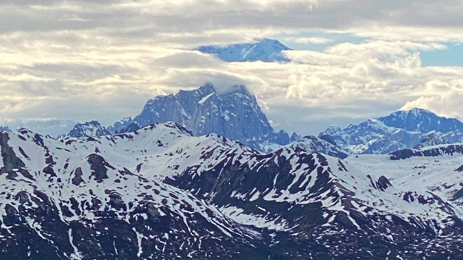
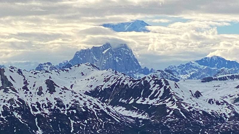
Denali through a gap in the clouds, from Kesugi Ridge, Day 2.

North America · United States

Kesugi Ridge

Denali State Park, Alaska

Distance
32.8 mi52.7 km
Days
2 days2 for me: a short evening climb onto the ridge, then a 26-mile day. Most people take 3
Elevation gain
5,446 ft1,660 m
High point
3,550 ft1,082 m
Season
Alaska State Parks says late June to…
Lodging
Tent
Plan this hike

Hikes / North America / Kesugi Ridge

In early June 2020 I hiked the Kesugi Ridge Trail alone in Denali State Park, Alaska. I started at the Little Coal Creek Trailhead on the Parks Highway in the evening, climbed onto the ridge and pitched my tent on the open tundra. The next day I walked the whole ridge south and west and came down to Byers Lake just after midnight. About 32.8 miles (52.7 km) and 5,450 ft (1,660 m) of climbing in two days by my GPS. It's the trip from my film Hiking the Kesugi Ridge Trail in Alaska.

Kraig Adams

Effort at this pace: Very hard · about 16 mi (26 km) and 2,723 ft (830 m) of climbing a day over 2 days, up to 3,550 ft (1,082 m). Our grade for the days given, worked out from distance, climbing and altitude a day; it isn't the trail's usual difficulty rating (under Basics) and doesn't rate exposure, terrain or weather.

Where these numbers come from

From Kraig Adams's GPS recording and guide.

Plan this hikeSave this hike

Plan: dates, gear, deadlines and stays in a private link. Save: keeps it on your account.

From Kraig Adams's GPS

The route, day by day

Relief map of the Kesugi Ridge route: 2 days drawn in red with numbered day starts, labelled Little Coal Creek Trailhead, Byers Lake and My camp.

Elevation741–3,501 ft32.8 mi

From Kraig Adams's GPS. Terrain: Mapzen Terrain Tiles (GMTED) on AWS · Glaciers, rivers & lakes © OpenStreetMap contributors

Tap a day for his map of it

  • Read day 1
  • Read day 2
Download GPX930 KB · free
Each day and variant (2 files)

The film

Watch it first

Hiking the Kesugi Ridge Trail in Alaska

Kraig Adams · Jun 2020 · Solo

Denali through a gap in the clouds, from Kesugi Ridge, Day 2.
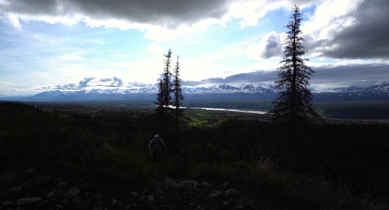
The Alaska Range from the climb onto the ridge, Day 1.
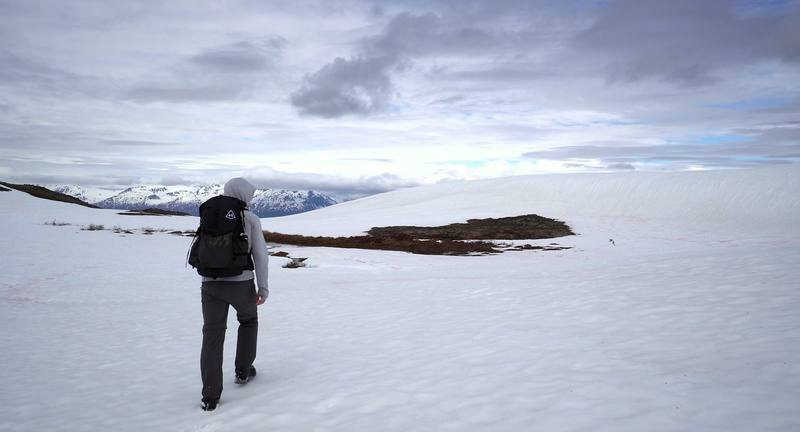
A snowfield on the ridge, Day 2.

Before you go

The basics

Start
Little Coal Creek Trailhead, Parks Highway mile 163.9, about 1,360 ft (415 m)
Finish
Byers Lake Campground, Parks Highway mile 147, about 780 ft (238 m). The trailheads are about 17 road miles apart
Usual difficulty
In my film I say it's "a pretty easy hike for beginners." The walking itself is mostly open tundra and rock, with cairns where the trail is faint. But my second day was 26 miles and 15 hours, the first climb gains over 2,000 ft, and the ridge is exposed with no shelter from wind, rain or low cloud. State Parks says to carry a map and compass and know how to use them. Most people take three days. If you're new to backpacking, plan three days and know the Ermine Hill bail-out.
Best time
Alaska State Parks says late June to mid-September. In early June, when I went, there was still deep snow, snow bridges over streams and trees down across the trail. Expect mosquitoes early in the season and blueberries, and bears, in late summer.
Permits
$5 to park at the trailheads; no open fires, stove only; dogs under voice control on the trail
Getting there
From Anchorage. Drive north on the Parks Highway (Alaska Route 3). Byers Lake is 147 miles (237 km) north of Anchorage (State Parks), and Little Coal Creek about 17 miles beyond it. In the film I say it's "only a three-hour drive north from Anchorage," and my map showed 2 hours 54 minutes to Little Coal Creek. Fill up with gas before you leave the Wasilla area; there's none at the trailheads. There's no bus or train to the trailheads that I could confirm, so you need a car or a shuttle.
Lodging
Tent

From Kraig Adams's guide

Costs and gear

What it cost

about $725

His costs, line by line

What Kraig carried

Not given

The full gear list

From Kraig Adams's guide

Safety

Rescue numbers

  • Emergency: 911. Mat-Su Area State Parks (907) 745-3975. Don't count on a phone signal.

Phone signal

  • Don't count on one on the ridge.
  • Carry a satellite messenger.

Insurance

  • Medical treatment in the US is expensive, and some hospitals ask non-residents for a deposit.
  • Make sure your travel health insurance covers medical treatment and repatriation.

Bail-out points

  • Day 1, Little Coal Creek to a camp on the ridge. The top of the Little Coal Creek Trail. If clouds are down on the ridge, the wind is strong or you're running late, go back down: this is the shortest way off the north end. Once you're on the ridge, the next way off is the Ermine Hill Trail, about 9 miles past my camp.
  • Day 2, Kesugi Ridge to Byers Lake. The Ermine Hill junction is the big decision point. If you're tired, the weather is turning, or it's later than you planned, take the Ermine Hill Trail down to the highway. Skinny Lake, a few miles further on, is the place to camp instead of pushing on. After the Cascade junction the quickest way off is down the Cascade Trail to Byers Lake.

From Kraig Adams's guide. For planning, not navigation: check before you go.

Their films and versions

Creators who've done it

1 creator so far: Kraig, 2 days, about $725, tent.

Walked Kesugi Ridge? Be the first to share your track: log it with your GPX.

Your time

Sign in and log a few hikes to see how long this one would take you.

Typical: 2 for me: a short evening climb onto the ridge, then a 26-mile day. Most people take 3 (the hike's facts).

Ask this hike

Planning questions about Kesugi Ridge, answered only from this page's facts, the creators' versions and hikers' public tracks, with where each answer comes from. When the data doesn't say, the answer says "not given".

    From hikers

    Comments

    Sign in to comment. Free; your hikes stay private unless you share them.

    Answered from the data

    Questions people ask

    How many days do you need for Kesugi Ridge?

    Two for me. Three is more usual and more comfortable: see Other ways to do it.

    From Kraig Adams's trip and guide.

    How much does Kesugi Ridge cost?

    A 3-day trip from Anchorage for one person with a rental car comes to about $725:

    From Kraig Adams's trip and guide.

    When is the best time to hike Kesugi Ridge?

    Alaska State Parks says late June to mid-September. In early June, when I went, there was still deep snow, snow bridges over streams and trees down across the trail. Expect mosquitoes early in the season and blueberries, and bears, in late summer.

    From Kraig Adams's trip and guide.

    Do you need a permit for Kesugi Ridge?

    I found no backcountry permit for Kesugi Ridge in 2026. You pay to park: a $5 day-use fee or an annual parking pass at the Little Coal Creek, Ermine Hill and Byers Lake trailheads (Alaska State Parks). Skinny Lake has the route's only designated campsite and toilet; elsewhere you camp on durable ground on the ridge.

    From Kraig Adams's trip and guide.

    How long is the Kesugi Ridge Trail?

    Alaska State Parks gives 28.9 miles (46.5 km) one way from Little Coal Creek to Byers Lake Campground. My GPS recorded 32.8 miles (52.7 km) and about 5,450 ft of climbing over two days. Most people take three days.

    From Kraig Adams's trip and guide.

    How do you get back to your car after hiking Kesugi Ridge?

    It's one way, and the Little Coal Creek and Byers Lake trailheads are about 17 miles apart on the Parks Highway. Leave a second car at Byers Lake, book a shuttle from Talkeetna (Denali Southside River Guides), or hitch, which is what I did.

    From Kraig Adams's trip and guide.

    Can you leave Kesugi Ridge partway?

    Yes. The Ermine Hill Trail drops 3.7 miles (6.0 km) from the ridge to the Parks Highway at mile 156.5, roughly halfway along the traverse. You'll need a ride from there.

    From Kraig Adams's trip and guide.

    Are there bears on Kesugi Ridge?

    Yes, black and brown bears. State Parks closes trails when bears gather, especially near Troublesome Creek during the July and August salmon runs. Carry bear spray, cook and store food away from your tent, and check State Parks' trail conditions before you go.

    From Kraig Adams's trip and guide.

    Plan this hikeThe route