 5 Days in Mexico City - Roma Norte, Frida Kahlo Museum and Hiking Iztaccihuatl

Kraig AdamsMar 2023
- Days
- 2 days
- Direction
- Out and back from Paso de Cortés, the national park office, about…
- Cost
- Entrance MXN 125 per person per day
- Lodging
- Huts
North America · Mexico
Mexico City and Iztaccíhuatl, Mexico
Hikes / North America / Mexico City and Iztaccíhuatl
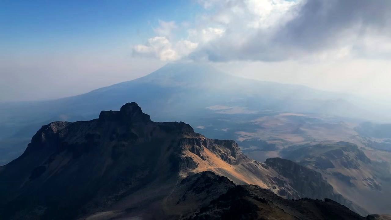
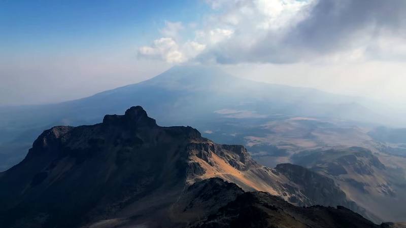
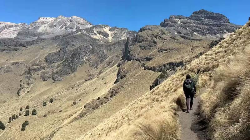
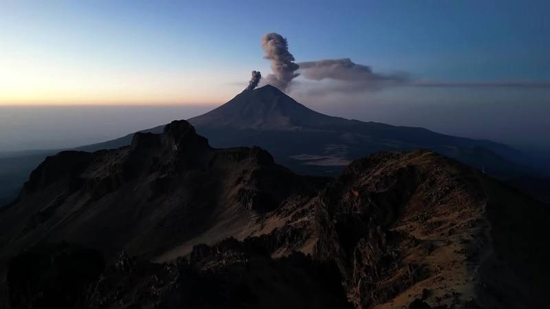
In March 2023 my wife and I spent a few days in Mexico City. When she flew home, I rented a little white car, drove out to the volcanoes and hiked up Iztaccíhuatl on my own. I started at Paso de Cortés, the pass between Iztaccíhuatl and Popocatépetl, walked about seven miles up to a small metal hut on the ridge with Popocatépetl erupting behind me, and spent the night there with a stray dog. The next morning I climbed by headlamp to the First Knee, about 16,500 ft (5,030 m) by my GPS, and turned around. It wasn't a true summit, but I'm still glad I did it. Two days, 14.4 miles by my GPS. It's the trip from my film 5 Days in Mexico City.
Kraig Adams
Effort at this pace: Hard · about 7 mi (12 km) and 2,927 ft (892 m) of climbing a day over 2 days, up to 16,496 ft (5,028 m). Our grade for the days given, worked out from distance, climbing and altitude a day; it isn't the trail's usual difficulty rating (under Basics) and doesn't rate exposure, terrain or weather.
From Kraig Adams's GPS recording and guide.
From Kraig Adams's GPS

Elevation12,051–16,490 ft14.4 mi
From Kraig Adams's GPS. Terrain: Mapzen Terrain Tiles (SRTM, GMTED) on AWS · Glaciers, rivers & lakes © OpenStreetMap contributors
Tap a day for his map of it
The film
 5 Days in Mexico City - Roma Norte, Frida Kahlo Museum and Hiking Iztaccihuatl
Before you go
From Kraig Adams's guide
From Kraig Adams's guide
From Kraig Adams's guide. For planning, not navigation: check before you go.
Their films and versions
1 creator so far: Kraig, 2 days, huts.
5 Days in Mexico City - Roma Norte, Frida Kahlo Museum and Hiking Iztaccihuatl
Walked Mexico City and Iztaccíhuatl? Be the first to share your track: log it with your GPX.
Sign in and log a few hikes to see how long this one would take you.
Typical: 2 days (the hike's facts).
Planning questions about Mexico City and Iztaccíhuatl, answered only from this page's facts, the creators' versions and hikers' public tracks, with where each answer comes from. When the data doesn't say, the answer says "not given".
From hikers
Sign in to comment. Free; your hikes stay private unless you share them.
Answered from the data
Two, with one night in the Grupo de los Cien hut, like me: up to the hut the first day, then the ridge early the next morning and down. Many people drive to La Joya and go to the hut and back in one day, which saves 4.6 miles each way. Add a day or two in Mexico City first for the altitude, and a spare day in case the park closes.
From Kraig Adams's trip and guide.
MXN 125 (about US$7) per person per day in 2026, paid at the park office at Paso de Cortés. Mexicans and foreign residents pay half. Driving up to La Joya also needs a reservation with CONANP. I paid about $1.50 in 2023.
From Kraig Adams's trip and guide.
I went March 7 and 8, 2023.
From Kraig Adams's trip and guide.
Yes, in October 2026: no closure of the Parque Nacional Iztaccíhuatl-Popocatépetl was reported that year. Popocatépetl, next door, is at Yellow Phase 2 on CENAPRED's alert; if it goes to Phase 3 the road to Paso de Cortés closes, as it did in May 2023. Fires, snow and cold fronts close it at short notice too, so check CENAPRED and CONANP the day before.
From Kraig Adams's trip and guide.
No. The park's rules say visitors may hire guides, preferably local ones, but don't require one, and I went alone. CONANP advises not hiking alone, and the summit ridge beyond the knees is a mountaineering route where a guide makes sense.
From Kraig Adams's trip and guide.
By my GPS, 6.8 miles (10.9 km) from Paso de Cortés with about 4,300 ft of climbing, or 2.2 miles and about 2,300 ft from La Joya. The hut is at about 15,500 ft (4,724 m) by my GPS; published figures are 4,730 to 4,780 m.
From Kraig Adams's trip and guide.
By car, about two hours via the México-Puebla toll road, Amecameca and the paved road up to Paso de Cortés. Without a car, take a Volcanes or Sur bus from the TAPO station to Amecameca, then a taxi to Paso de Cortés or La Joya (about MXN 250 to 450 one way, as reported).
From Kraig Adams's trip and guide.
No. It's a dry volcano hike with no water sources: carry all of it from Paso de Cortés. I brought about two liters for two days and was almost out by the second morning.
From Kraig Adams's trip and guide.