 Hiking the Howe Sound Crest Trail in Vancouver

Kraig AdamsJul 2023 · Solo
- Days
- a day and a half
- Cost
- See his costs
- Lodging
- Tent
North America · Canada
Coast Mountains, British Columbia
Hikes / North America / Howe Sound Crest Trail
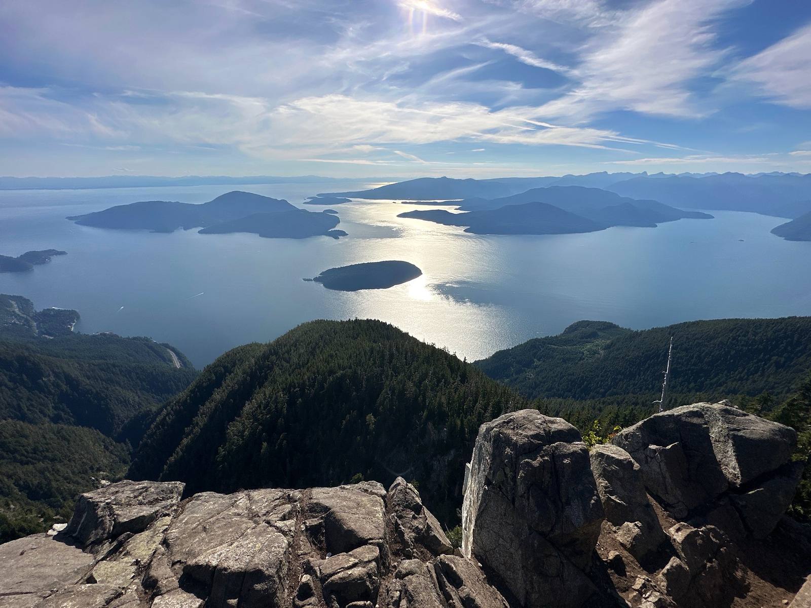
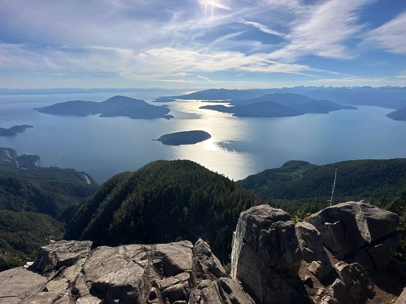
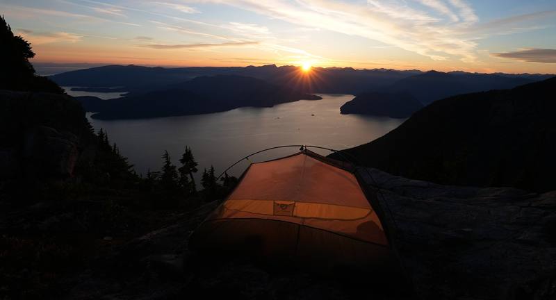
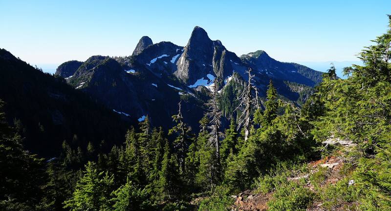
In July 2023 I hiked the Howe Sound Crest Trail, the ridge walk above Howe Sound just north of Vancouver, in a day and a half. It was my first time in Vancouver. I started in the afternoon at the Cypress Mountain ski area, climbed past St. Mark's Summit and over Unnecessary Mountain, and camped on the ridge below the West Lion, one of the two rock peaks the city calls the Lions. The next morning I went north along the crest over Thomas, James and David Peaks to Magnesia Meadows, Brunswick Lake and Deeks Lake, and down to Highway 99 by Porteau Cove. About 19.3 miles by my GPS: 6.3 on the first day and 13 on the second. It's the trip from my film Hiking the Howe Sound Crest Trail in Vancouver.
Kraig Adams
Effort at this pace: Very hard · about 13 mi (21 km) and 3,489 ft (1,063 m) of climbing a day over 2 days, up to 5,213 ft (1,589 m). Our grade for the days given, worked out from distance, climbing and altitude a day; it isn't the trail's usual difficulty rating (under Basics) and doesn't rate exposure, terrain or weather.
From Kraig Adams's GPS recording and guide.
From Kraig Adams's GPS

Elevation197–5,213 ft19.3 mi
From Kraig Adams's GPS. Terrain: Mapzen Terrain Tiles (USGS 3DEP, SRTM) on AWS · Rivers & lakes © OpenStreetMap contributors
Tap a day for his map of it
The film
 Hiking the Howe Sound Crest Trail in Vancouver
Before you go
From Kraig Adams's guide
From Kraig Adams's guide
From Kraig Adams's guide. For planning, not navigation: check before you go.
Their films and versions
1 creator so far: Kraig, 1.5 days, tent.
Hiking the Howe Sound Crest Trail in Vancouver
Walked Howe Sound Crest Trail? Be the first to share your track: log it with your GPX.
Sign in and log a few hikes to see how long this one would take you.
Typical: a day and a half (the hike's facts).
Planning questions about Howe Sound Crest Trail, answered only from this page's facts, the creators' versions and hikers' public tracks, with where each answer comes from. When the data doesn't say, the answer says "not given".
From hikers
Sign in to comment. Free; your hikes stay private unless you share them.
Answered from the data
I did it in a day and a half: an afternoon to the Lions and a full day to the highway. You could do it as a really big day hike, but sleeping up on the ridge with the sunset was the whole point for me. Most people take two days; a slower pace or a later start makes it three.
From Kraig Adams's trip and guide.
I didn't keep a list of what this trip cost me.
From Kraig Adams's trip and guide.
Mid-July. I hiked on July 18 and 19, 2023. Day 1 was hotter than expected, but with lots of tree cover. There were barely any snow patches, plenty of flowing water on the second half toward the lakes, and the bugs were crazy. They didn't bite, but they tried to go in your eyes, your ears and your nose.
From Kraig Adams's trip and guide.
No, in 2026: no permit, no reservation and no fee. You can camp anywhere along the trail north of Strachan Meadows; BC Parks names Magnesia Meadows, Brunswick Lake and Deeks Lake as the best areas.
From Kraig Adams's trip and guide.
Yes, in October 2026: BC Parks listed no closure. Construction started at Magnesia Meadows, Brunswick Lake and Deeks Lake on September 16, 2026. The trail is usually snow-free from about July to early October, and the section by the ski area is open to hikers June 1 to October 31.
From Kraig Adams's trip and guide.
BC Parks gives 29 km (18 miles) one way, from the Cypress Mountain ski area to Highway 99 just south of Porteau Cove. My GPS recorded 19.3 miles (31.1 km) over two days: 6.3 to my camp below the West Lion, then 13 to the highway.
From Kraig Adams's trip and guide.
Not reliably on the first half: BC Parks says there's no reliable water between Strachan Meadows and Magnesia Meadows. From Magnesia on there are tarns, streams and lakes. Treat all water.
From Kraig Adams's trip and guide.
Fast, strong hikers do, in about 12 to 14 hours. It's long and committing, with scrambles over James and David Peaks in the middle, and exhausted day hikers are a common rescue call.
From Kraig Adams's trip and guide.
Overnight parking at Cypress Mountain is free but only allowed in Lot 3B; cars left elsewhere are towed. The trail ends at the Porteau Road lot on Highway 99, with no public transit, so you need two cars or a ride.
From Kraig Adams's trip and guide.