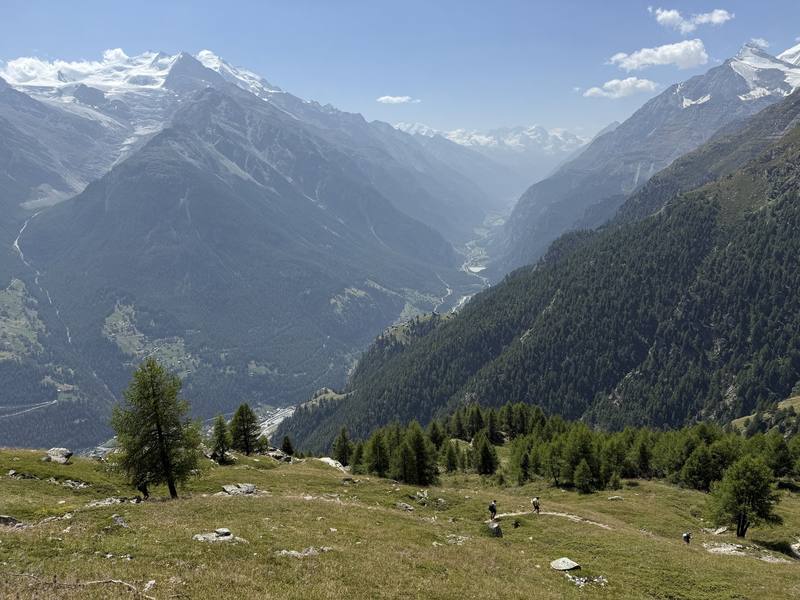
In August 2025 I hosted a group hiking trip on the Haute Route in the European Alps. We hiked hut to hut for nine days, from Chamonix, France, to Zermatt, Switzerland, over a pass or two almost every day, and finished beneath the Matterhorn. This trail was one of the best I had ever hiked.
Kraig Adams
Effort at this pace: Hard · about 9 mi (14 km) and 3,072 ft (936 m) of climbing a day over 9 days, up to 9,800 ft (2,987 m). Our grade for the days given, worked out from distance, climbing and altitude a day; it isn't the trail's usual difficulty rating (under Basics) and doesn't rate exposure, terrain or weather.
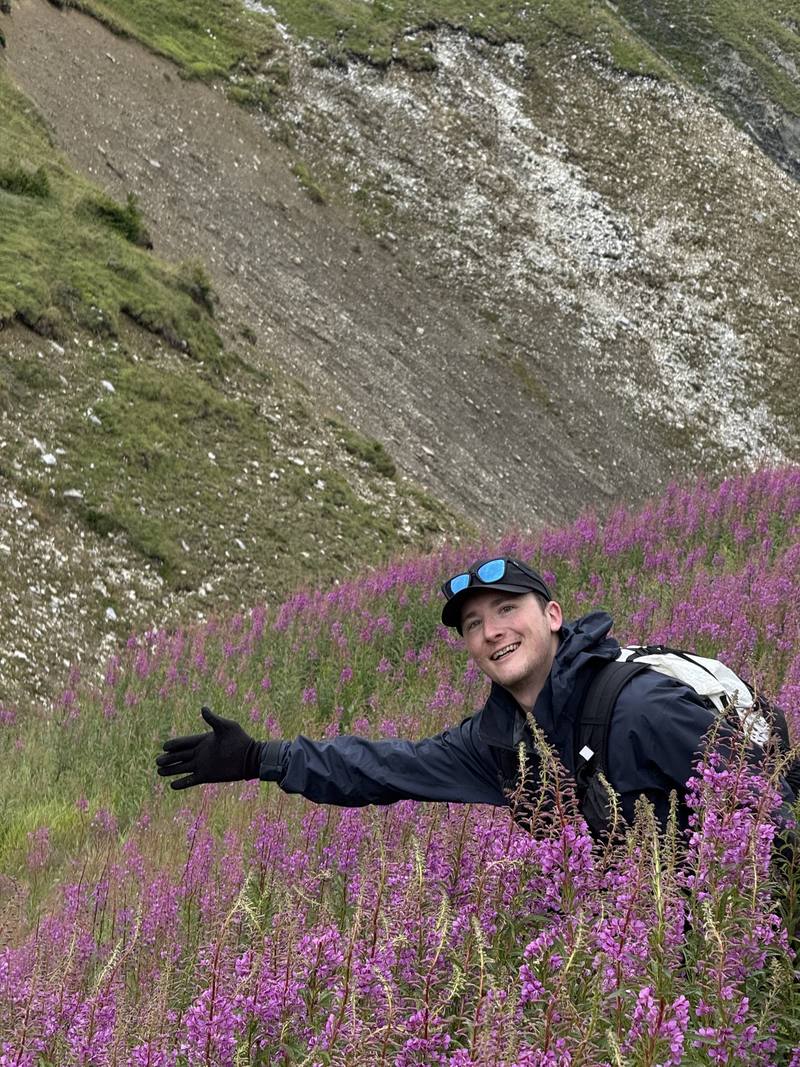
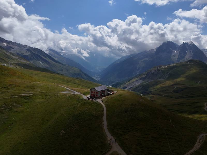
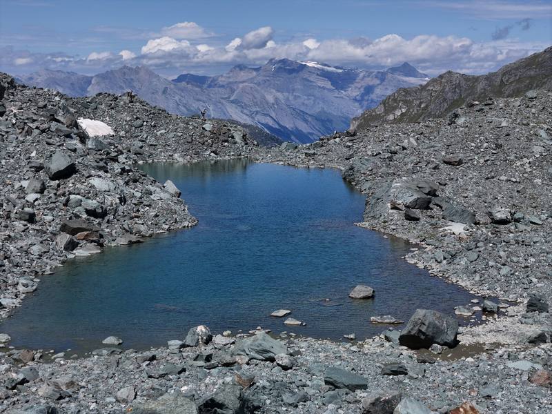
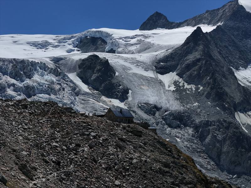
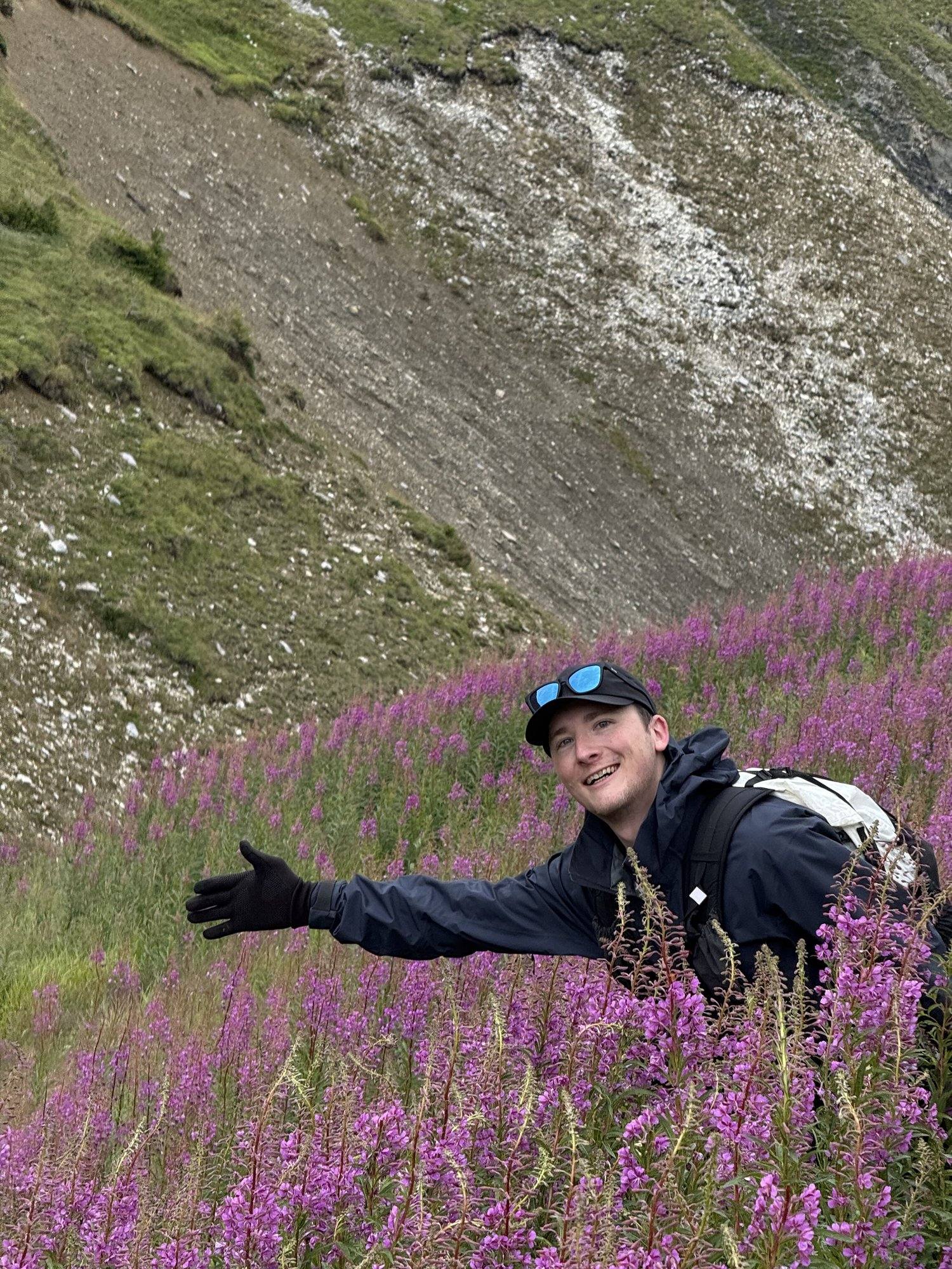
Me in the fireweed on the way down from the Col de Balme, Day 1.The Refuge du Col de Balme on the French-Swiss border, Day 1.A glacial lake in the Grand Désert, below the Col de Prafleuri, Day 4.The Moiry Glacier, with Cabane de Moiry on the rock at the right, where Day 6 ends.Looking down the Mattertal on the way to Jungen, Day 9.
Before you go
The basics
Start
Montroc, a short bus ride up the valley from Chamonix, France
Finish
Jungen above St. Niklaus, then a cable car and a train to Zermatt, Switzerland
Usual difficulty
In my words: most people could do this trail. There are some big passes and some big days
Best time
Summer. Most huts open from mid or late June to mid or late September. I went in early August
Permits
Book every hut and hotel ahead, online through the hut's own site or the Swiss Alpine Club system, months ahead for July and August. From 2027 SAC huts charge a CHF 10 reservation fee per person per night (not refunded if you cancel) and a solidarity contribution of CHF 3 a night for members, CHF 5 for non-members (2027 to 2029)
Getting there
I flew from New York City to Geneva, Switzerland, and took a scheduled shuttle bus from the airport to Chamonix. We stayed two nights at a hotel and spa with frog art and forest-themed rooms. Hotels that nice are a little overkill for me when I travel on my own dime. On the morning of Day 1 the group met in the hotel lobby, and it's always interesting finally seeing what people decided to carry. We took the bus up the valley toward Le Tour and started walking at Montroc. Nearest airport: Geneva, at both ends
When bookings open, from the sources named under each. Dates move: confirm on the official site.
Cabane de Moiry bookings for 2027
Cabane de Moiry opens 2027 bookings on February 10, 2027 (online only, half board). Most other huts book through their own sites or the Swiss Alpine Club system; for July and August, book as soon as each hut opens.
On the French side (Day 1, up to the Col de Balme), call 112; Chamonix's guide also lists 18 for mountain rescue and 15 for medical emergencies.
Phone signal
Not everywhere.
Cabane de Louvie, for one, has no phone network or Wi-Fi (2026).
Insurance
Get travel insurance that covers mountain rescue and helicopter evacuation.
Bail-out points
Day 1, Montroc to Trient. Before the Col de Balme, go back down to Montroc or down from the Col des Posettes to Le Tour for the Chamonix bus. In summer the Charamillon gondola and the Autannes chairlift at Le Tour run up toward the Col de Balme, so you can also ride down. After the col, keep going to Trient.
Day 2, Trient to Relais d'Arpette. Before the steep climb, go back to Trient. In bad weather, skip the Fenêtre: from Trient, walk up to the Col de la Forclaz and take the Tour du Mont Blanc's lower route over the Bovine alp to Champex-Lac. After the pass, keep going down the Val d'Arpette.
Day 3, Les Ruinettes to Cabane de Louvie. Before the Col Termin, go back to Les Ruinettes and ride the gondolas down to Verbier (check the last lift). From Cabane de Louvie, a steep path goes down to Fionnay in the Val de Bagnes.
Day 4, Cabane de Louvie to Cabane de Prafleuri. Before the Col de Louvie, go back down to Louvie and Fionnay. After it, you're committed to Prafleuri. From Prafleuri a track goes down to the Grande Dixence dam, which has a summer bus to Sion (see Day 5).
Day 5, Cabane de Prafleuri to Arolla. From the north end of Lac des Dix, a track goes to the Grande Dixence dam (Le Chargeur). In 2026 bus 12.372 ran from there to Sion station four times a day from June 27 to October 25 (last bus 16:58). Past the lake, the only way is over the Col de Riedmatten to Arolla.
Day 6, Les Haudères to Cabane de Moiry. Before the Col du Tsaté, go back down to Les Haudères. After the col, head down to the reservoir, where a road runs down the valley to Grimentz.
Day 7, Cabane de Moiry to Grimentz. This is a day of walking downhill toward a road. From the dam, the road runs down to Grimentz.
Day 8, Cabane Bella Tola to Gruben. Before the summit, go back to Cabane Bella Tola and the St-Luc funicular. Gruben has a summer bus down the Turtmanntal.
Day 9, Gruben to Jungen. Before the pass, go back to Gruben. After the pass, keep going to Jungen. If the cable car isn't running, a steep path goes down from Jungen to St. Niklaus.
From Kraig Adams's guide. For planning, not navigation: check before you go.
Walked Haute Route, Chamonix to Zermatt? Be the first to share your track: log it with your GPX.
Your time
Sign in and log a few hikes to see how long this one would take you.
Typical: 9 days on foot (the hike's facts).
Ask this hike
Planning questions about Haute Route, Chamonix to Zermatt, answered only from this page's facts, the creators' versions and hikers' public tracks, with where each answer comes from. When the data doesn't say, the answer says "not given".
From hikers
Comments
Sign in to comment. Free; your hikes stay private unless you share them.
Answered from the data
Questions people ask
How many days do you need for Haute Route, Chamonix to Zermatt?
I walked 9 days, plus a day in Chamonix before the start. Our days were short, 6.5 to 11.2 miles and 4 to 8 hours with stops, and we used buses and lifts to link some of them.
From Kraig Adams's trip and guide.
How much does Haute Route, Chamonix to Zermatt cost?
On your own, a hut night with dinner and breakfast is about CHF 80 to 110 (2026). From 2027, SAC huts like Moiry also charge a CHF 10 reservation fee per person per night.
From Kraig Adams's trip and guide.
When is the best time to hike Haute Route, Chamonix to Zermatt?
Summer. Most huts open from mid or late June to mid or late September. I went August 2 to 10, 2025, and still crossed small patches of snow on Day 4.
From Kraig Adams's trip and guide.
Where do you sleep on the Haute Route?
In mountain huts with dorms and half board, village inns and hotels. There's no camping in this guide, so you don't need a tent or sleeping bag, but most huts require a sleeping-bag liner. Cabane de Louvie is closed in 2027; use Cabane du Mont Fort.
From Kraig Adams's trip and guide.
How do you get to the start and back from the Haute Route?
Fly into Geneva, take a shuttle to Chamonix, then bus line 2 or the Mont-Blanc Express to Montroc. At the end, the Jungen cable car and a train take you to Zermatt, and Geneva Airport is about 4 hours by train from there.
 Hiking 100 Miles on the Haute Route Chamonix to Zermatt


 Hiking 100 Miles on the Haute Route Chamonix to Zermatt