Follow the Hiker
Find my next hikeGearSavedKraig Adams
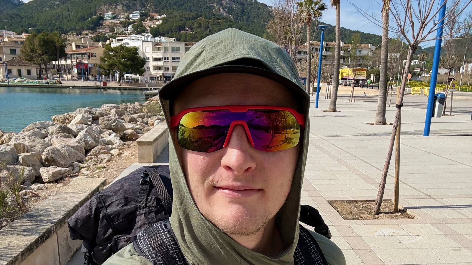
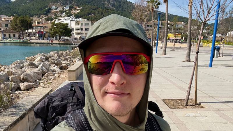
Me at Port d'Andratx on March 20, 2026, about to start walking.

Europe · Spain

GR221, the Dry Stone Route

Mallorca, Spain

Distance
88.1 mi141.8 km
Days
5 days
Elevation gain
18,340 ft5,590 m
High point
4,039 ft1,231 m
Season
Spring and autumn are the usual seasons
Lodging
Tent
Plan this hike

Hikes / Europe / GR221, the Dry Stone Route

I hiked 88 miles alone across Mallorca on the GR221, the Dry Stone Route, in March 2026. It took me five days, from the harbor at Port d'Andratx to the old town of Pollença in the north. It was early in the season and none of the huts were open yet, so I slept three nights in my tent and one night in a hotel to recharge batteries. I carried everything for the whole trip on my back.

Kraig Adams

Effort at this pace: Very hard · about 18 mi (28 km) and 3,668 ft (1,118 m) of climbing a day over 5 days, up to 4,039 ft (1,231 m). Our grade for the days given, worked out from distance, climbing and altitude a day; it isn't the trail's usual difficulty rating (under Basics) and doesn't rate exposure, terrain or weather.

Where these numbers come from

From Kraig Adams's GPS recording and guide.

Plan this hikeSave this hike

Plan: dates, gear, deadlines and stays in a private link. Save: keeps it on your account.

From Kraig Adams's GPS

The route, day by day

Relief map of the GR221 route: 5 days drawn in red with numbered day starts, labelled Port d'Andratx, Pollenca, Puig de Massanella, Banyalbufar and Deia.

Elevation7–4,029 ft88.1 mi

From Kraig Adams's GPS. Terrain: Mapzen Terrain Tiles (EU-DEM, SRTM) on AWS · Rivers & lakes © OpenStreetMap contributors

Tap a day for his map of it

  • Read day 1
  • Read day 2
  • Read day 3
  • Read day 4
  • Read day 5

The film

Watch it first

Hiking 80 miles on the Dry Stone Route in Mallorca

Kraig Adams · Mar 20–24, 2026 · Solo

Me at Port d'Andratx on March 20, 2026, about to start walking.
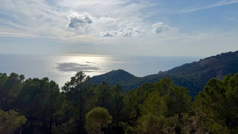
The sea from the trail between Port d'Andratx and Sant Elm.
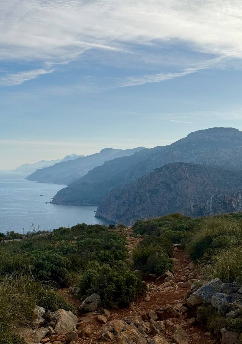
The trail and the west coast on the morning of Day 2.
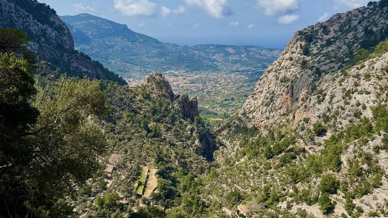
Looking back down the Barranc de Biniaraix toward Sóller.
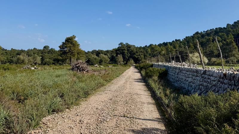
The wide track toward Pollença on Day 5.

Before you go

The basics

Start
Port d'Andratx, southwest Mallorca
Finish
Pollença town. The official route ends 4.2 miles (6.7 km) later at Port de Pollença. I took the bus.
Usual difficulty
Not a casual hike the way I did it: two 23-mile days and 8 to 12 hours of walking on the long days. The official stages are graded easy to difficult.
Best time
Spring and autumn are the usual seasons. I went March 20 to 24, 2026, with cold mornings and shorts in the day. Summer is hot and dry, and open fires are banned on forest land from May 1 to October 15.
Permits
Not to walk the signposted route. Refuge beds need a booking, and camping, fires and drones need authorization (below).
Getting there
I flew into Palma de Mallorca. It was my first time on the island. Technically I'd passed by on a cruise ship the year before. I took the bus from the airport into Palma and bought stove fuel, which was very easy. From there it was a 15-minute walk to the next bus, and within the hour I was at the trailhead in Port d'Andratx. I'd picked up groceries on the way: avocado, banana and some noodles and pasta.
Nearest airport: Palma de Mallorca (PMI)
Lodging
Tent

From Kraig Adams's guide

Costs and gear

What Kraig carried

Not given

The full gear list

From Kraig Adams's guide

Safety

Rescue numbers

  • Emergency: 112.

Phone signal

  • I had signal in the towns: I FaceTimed my family from town stops on Days 2 and 3.
  • Don't count on it in the mountains between towns.

Insurance

  • Get travel insurance that covers mountain rescue.

Bail-out points

  • Day 1, Port d'Andratx and Sant Elm. Sant Elm is the exit. TIB bus 121 runs from Sant Elm to Port d'Andratx and Andratx, where you can connect to bus 101 for Palma.
  • Day 2, On to Estellencs and Banyalbufar. Before the big climb, go back to Sant Elm. The route also meets the Ma-10 road near Coll de sa Gramola. After the climb, Estellencs and Banyalbufar are both on the Ma-10, with TIB bus 202 to Esporles and Palma all year, and from May to September bus 131 toward Andratx.
  • Day 3, Banyalbufar to Deià. Esporles has TIB bus 202 to Palma. Valldemossa and Deià are both on bus 203. Once you're on the ridge after Valldemossa, the way off is to keep going to Deià or go back.
  • Day 4, Deià over Coll des Prat. Sóller has TIB bus 204 to Palma all year, and from late March to October bus 231 toward Lluc and Pollença. Cúber is on the Ma-10 road, and from late March to October bus 231 stops there. After Cúber there's no road until Lluc: your choices are to go back to Cúber or drop to the Tossals Verds refuge. Decide at Cúber, and don't start the climb to Coll des Prat in bad weather.
  • Day 5, Down to Lluc and Pollença. Lluc has TIB bus 312 to Inca all year, and from late March to October bus 231 toward Sóller and toward Pollença. In Pollença, bus 301 runs to Port de Pollença and to Palma.

From Kraig Adams's guide. For planning, not navigation: check before you go.

Their films and versions

Creators who've done it

1 creator so far: Kraig, 5 days, tent.

Walked GR221, the Dry Stone Route? Be the first to share your track: log it with your GPX.

Your time

Sign in and log a few hikes to see how long this one would take you.

Typical: 5 days (the hike's facts).

Ask this hike

Planning questions about GR221, the Dry Stone Route, answered only from this page's facts, the creators' versions and hikers' public tracks, with where each answer comes from. When the data doesn't say, the answer says "not given".

    From hikers

    Comments

    Sign in to comment. Free; your hikes stay private unless you share them.

    Answered from the data

    Questions people ask

    How many days do you need for GR221, the Dry Stone Route?

    I did it in five: a short first afternoon and then four long days, about 88 miles. The official route is 9 stages between refuges and towns.

    From Kraig Adams's trip and guide.

    How much does GR221, the Dry Stone Route cost?

    My hotel in Deià was about $150 and my hotel in Palma at the end about $115. The rest was buses, food and flights. A refuge night in 2026 cost €14 for a bed, plus €9.50 for dinner and €5.50 for breakfast. See what I paid.

    From Kraig Adams's trip and guide.

    When is the best time to hike GR221, the Dry Stone Route?

    Spring and autumn are the usual seasons. I went March 20 to 24, 2026, with cold mornings and shorts in the day. Summer is hot and dry, and open fires are banned on forest land from May 1 to October 15.

    From Kraig Adams's trip and guide.

    Do you need a permit for GR221, the Dry Stone Route?

    Not to walk the signposted route. Refuge beds need a booking, and camping, fires and drones need authorization (below).

    From Kraig Adams's trip and guide.

    Where do you sleep on the GR221?

    The Consell de Mallorca runs hiker refuges along the route, and a dorm bed was 14 euros in 2026. The towns have hotels. I slept in my tent three nights and in a hotel in Deià one night.

    From Kraig Adams's trip and guide.

    Can you camp on the GR221?

    Not freely. Camping and bivouacking on forest land in the Serra de Tramuntana need authorization all year, and almost 95% of the area is private land. There are official camping areas near Lluc that you reserve.

    From Kraig Adams's trip and guide.

    How do you get to the start of the GR221?

    Fly into Palma. EMT bus A1 runs from the airport to the center, and TIB bus 101 goes from the Estació Intermodal to Port d'Andratx. At the end, bus 301 runs from Pollença back to Palma.

    From Kraig Adams's trip and guide.

    Plan this hikeThe route