Hiking 40 miles on the Goat Rocks Loop in Washington
- Days
- 3 days
- Direction
- Loop from Walupt Lake trailhead, 3,930 ft, an hour's drive from…
- Cost
- Northwest Forest Pass $30 a year or $5 a day, or an Interagency pass
- Lodging
- Tent
North America · United States
Goat Rocks Wilderness, Washington
Hikes / North America / Goat Rocks
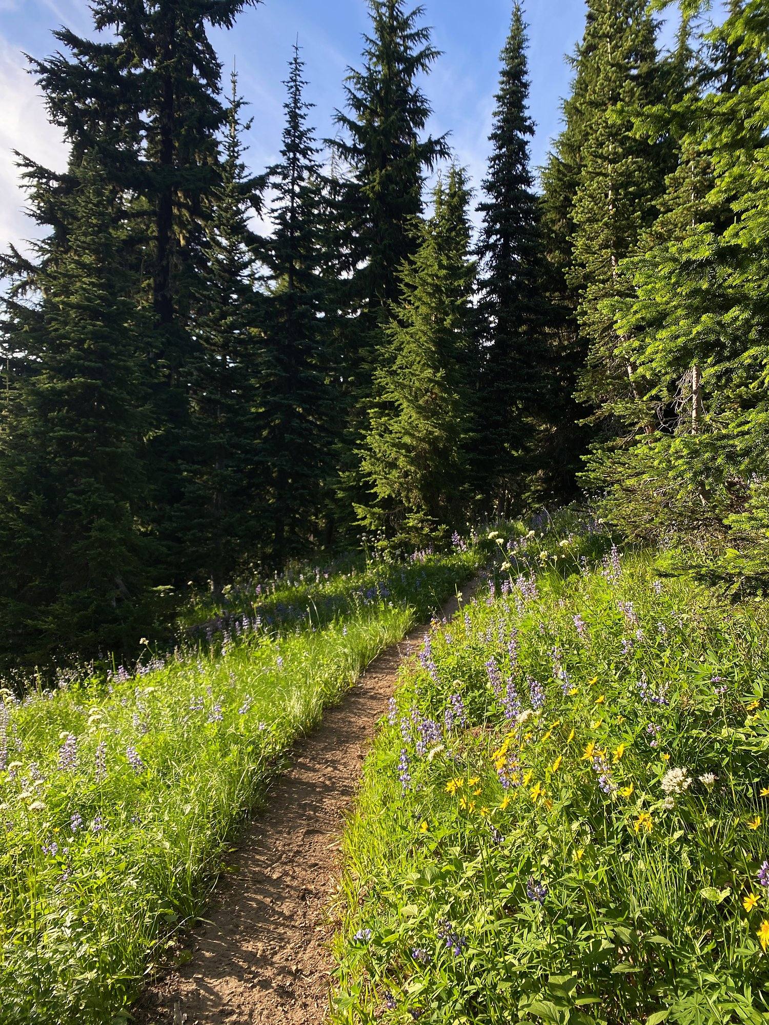
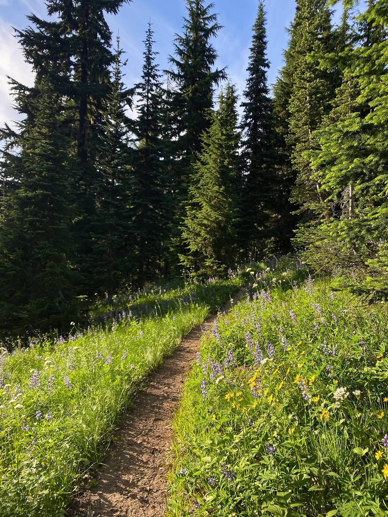
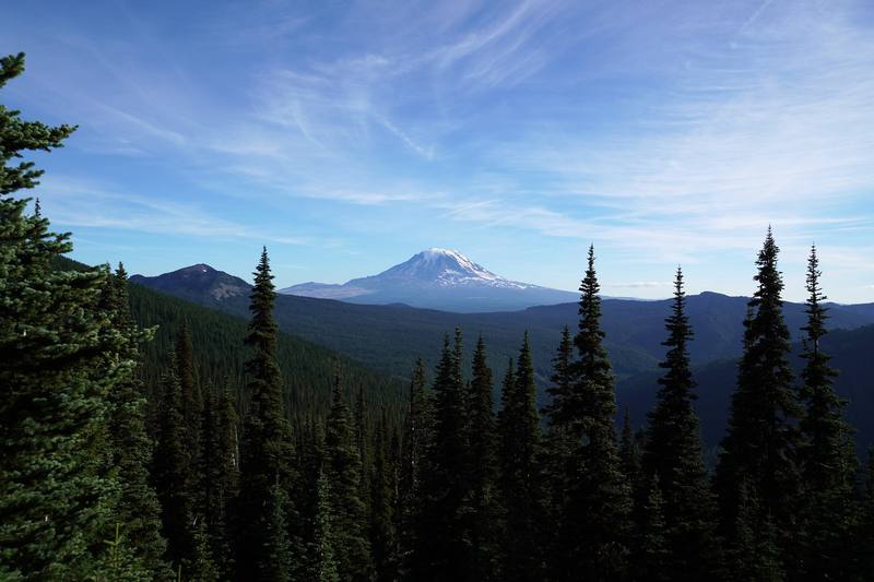
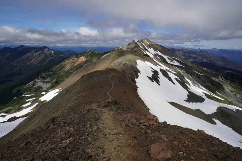
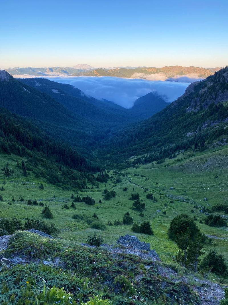
In August 2020 I spent three days backpacking a 40-mile loop alone in the Goat Rocks Wilderness in Washington: from Walupt Lake up to the Pacific Crest Trail, over Cispus Pass, to the top of Old Snowy Mountain, out along the Knife's Edge, down to Goat Lake, and back over Goat Ridge. It's the trip from my film Hiking 40 miles on the Goat Rocks Loop in Washington.
Kraig Adams
Effort at this pace: Hard · about 13 mi (21 km) and 2,496 ft (761 m) of climbing a day over 3 days, up to 7,897 ft (2,407 m). Our grade for the days given, worked out from distance, climbing and altitude a day; it isn't the trail's usual difficulty rating (under Basics) and doesn't rate exposure, terrain or weather.
From Kraig Adams's GPS recording and guide.
From Kraig Adams's GPS

Elevation3,333–7,897 ft39.3 mi
From Kraig Adams's GPS. Terrain: Mapzen Terrain Tiles (USGS 3DEP, SRTM) on AWS · Glaciers, rivers & lakes © OpenStreetMap contributors
Tap a day for his map of it
The film
Hiking 40 miles on the Goat Rocks Loop in Washington


Before you go
From Kraig Adams's guide
Northwest Forest Pass $30 a year or $5 a day, or an Interagency pass
NEMO Hornet 1P · NEMO Hornet 1P footprint · UGQ Bandit quilt · Outdoor Vitals Sleeping Bag Liner · a sleeping pad · Klymit Pillow X · Hyperlite Mountain Gear Southwest 2400 · Hyperlite Mountain Gear drawstring stuff sacks and 32 more.
From Kraig Adams's guide
From Kraig Adams's guide. For planning, not navigation: check before you go.
Their films and versions
1 creator so far: Kraig, 3 days, tent.
Hiking 40 miles on the Goat Rocks Loop in Washington
Walked Goat Rocks? Be the first to share your track: log it with your GPX.
Sign in and log a few hikes to see how long this one would take you.
Typical: 3 days (the hike's facts).
Planning questions about Goat Rocks, answered only from this page's facts, the creators' versions and hikers' public tracks, with where each answer comes from. When the data doesn't say, the answer says "not given".
From hikers
Sign in to comment. Free; your hikes stay private unless you share them.
Answered from the data
I did it in three: an afternoon on Day 1, a long Day 2, and a quick morning on Day 3. Four days would give you more time up high. See Other ways to do it.
From Kraig Adams's trip and guide.
Northwest Forest Pass $30 a year or $5 a day, or an Interagency pass. Walupt Lake Campground $25 a night if you want a site before or after. The permit is free.
From Kraig Adams's trip and guide.
Late July to September. The Forest Service says the high trails usually melt out by mid-July and snowfields can last into August; the busiest months are August and September. I went August 7 to 9, 2020, and still crossed snow near Old Snowy.
From Kraig Adams's trip and guide.
In 2026 the wilderness permit is free and you fill it out yourself at the trailhead; there's no quota or reservation. You also need a parking pass at Walupt Lake, Berry Patch and Snowgrass: a Northwest Forest Pass ($30 a year or $5 a day) or an Interagency pass.
From Kraig Adams's trip and guide.
My loop from Walupt Lake was 39.3 miles on my GPS (the film says 40), with about 7,490 ft of climbing, over three days in August 2020: up to the PCT and north below Cispus Pass, then Old Snowy, the Knife's Edge and Goat Lake, then down Goat Ridge to Berry Patch and back to Walupt Lake.
From Kraig Adams's trip and guide.
Yes, but not within 100 feet of the shore, and campfires are banned within a quarter mile of the lake. Camping is also banned within 100 feet of the PCT and anywhere in Snowgrass Flat. When I was there in August 2020 the lake was still frozen and very crowded.
From Kraig Adams's trip and guide.
My GPS read 7,897 ft (2,407 m) on top, the high point of my loop. It's a short scramble off the PCT's Old Snowy Alternate, with a very small top.
From Kraig Adams's trip and guide.
The Forest Service calls the PCT between Elk Pass and the Packwood Glacier narrow, rugged and treacherous. It's exposed, with loose rock and snow early in the season. I went out along it in good weather and turned back partway. Skip it in wind, storms or snow.
From Kraig Adams's trip and guide.