 Hiking the Dientes de Navarino Trail in Chile

Kraig AdamsMar 2025 · Solo
- Days
- 3 days
- Direction
- Loop from Puerto Williams, the reverse of the official direction
- Cost
- Registration and camping are free
- Lodging
- Tent
South America · Chile
Navarino Island, Chile
Hikes / South America / Dientes de Navarino
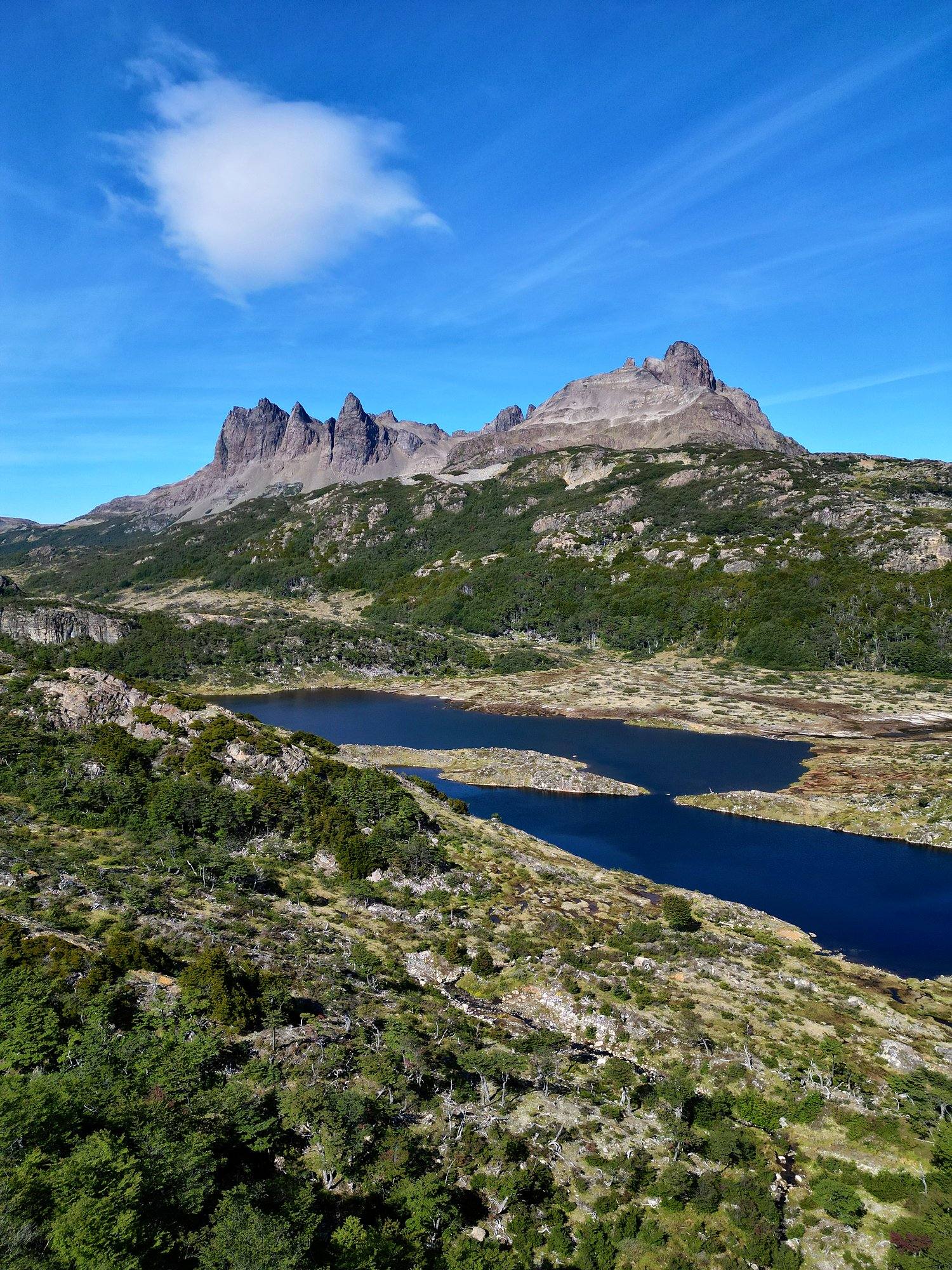
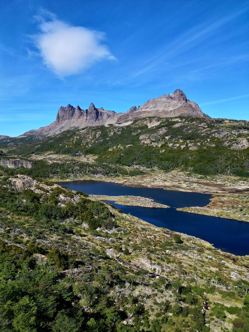
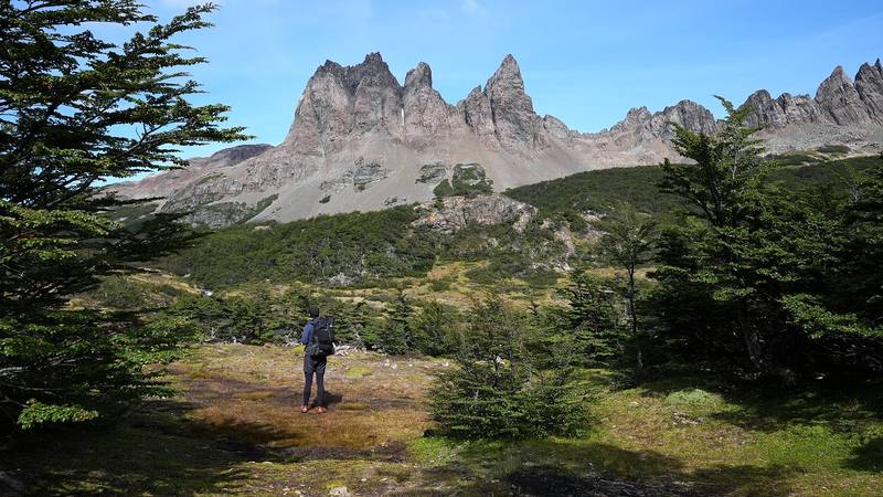
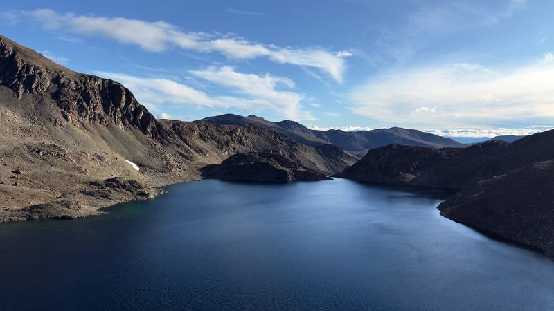
In March 2025 I hiked the Dientes de Navarino circuit on Navarino Island, Chile: the southernmost trek in the world. About 32 miles in three days, a loop on foot from Puerto Williams around the jagged peaks of the Dientes (the "Teeth of Navarino"), past dozens of lakes and over five passes, with the Beagle Channel below. It's the trip from my film Hiking the Dientes de Navarino Trail in Chile.
Kraig Adams
Effort at this pace: Hard · about 11 mi (17 km) and 2,209 ft (673 m) of climbing a day over 3 days, up to 2,808 ft (856 m). Our grade for the days given, worked out from distance, climbing and altitude a day; it isn't the trail's usual difficulty rating (under Basics) and doesn't rate exposure, terrain or weather.
From Kraig Adams's GPS recording and guide.
From Kraig Adams's GPS

Elevation13–2,808 ft32.1 mi
From Kraig Adams's GPS. Terrain: Mapzen Terrain Tiles (SRTM, GMTED) on AWS · Rivers & lakes © OpenStreetMap contributors
Tap a day for his map of it
The film
 Hiking the Dientes de Navarino Trail in Chile
Before you go
From Kraig Adams's guide
From Kraig Adams's guide
From Kraig Adams's guide. For planning, not navigation: check before you go.
Their films and versions
1 creator so far: Kraig, 3 days, tent.
Hiking the Dientes de Navarino Trail in Chile
Walked Dientes de Navarino? Be the first to share your track: log it with your GPX.
Sign in and log a few hikes to see how long this one would take you.
Typical: 3 days (the hike's facts).
Planning questions about Dientes de Navarino, answered only from this page's facts, the creators' versions and hikers' public tracks, with where each answer comes from. When the data doesn't say, the answer says "not given".
From hikers
Sign in to comment. Free; your hikes stay private unless you share them.
Answered from the data
I did it in three days of 9 to 12 miles. The municipality and Chile's tourism board say 4 to 5 days, and the official leaflet plans 5. Add a spare day for weather.
From Kraig Adams's trip and guide.
Registration and camping are free. DAP doesn't publish its fares outside its booking page; travel sites showed roughly CLP 100,000 to 120,000 one way from Punta Arenas in 2025-26 (check dapairline.com), plus CLP 2,000 a kilo over the baggage allowance. The Ushuaia boat and van was USD 160 one way with one operator in 2025-26. In March 2025 the notice board at the Hotel Forjadores in my photos listed a single room at CLP 70,000 a night with breakfast. Add a gas canister, and a guide if you want one.
From Kraig Adams's trip and guide.
From November 1 to about the end of March. The main section is closed by municipal decree every year from early April to October 31; in 2026 the closure ran April 1 to October 31. The official leaflet says December to February is best.
From Kraig Adams's trip and guide.
There's no permit or fee, but registering with the Carabineros in Puerto Williams (Piloto Pardo 287) before you start and again when you're back is mandatory.
From Kraig Adams's trip and guide.
My loop from Puerto Williams and back was 32.1 miles (51.6 km) on my GPS, with about 6,630 ft of climbing, in three days in March 2025. About 24.7 miles of it is trail; the rest is road at each end. The official leaflet gives about 41 km of trail and plans 5 days; the municipality says 4 to 5 days.
From Kraig Adams's trip and guide.
Poorly. The official leaflet calls it poorly marked and intermittent, with cairns on the passes and paint marks on trees in the last forest. Carry a GPX track offline and a backup way to navigate.
From Kraig Adams's trip and guide.
Aerovías DAP flies from Punta Arenas (in 2026 on Mondays, Wednesdays, Thursdays and Fridays) with a 10 kg hold baggage limit on this route. The Yaghan ferry from Punta Arenas takes about 30 hours, and in season boats cross from Ushuaia to Puerto Navarino with a van to town. You can't fly with stove gas; buy it in Puerto Williams.
From Kraig Adams's trip and guide.
No. The municipality says the route has no phone signal, no shelters and no permanent patrols, and that you need satellite gear such as an inReach, a VHF radio or a satellite phone.
From Kraig Adams's trip and guide.