Follow the Hiker
Find my next hikeGearSavedKraig Adams
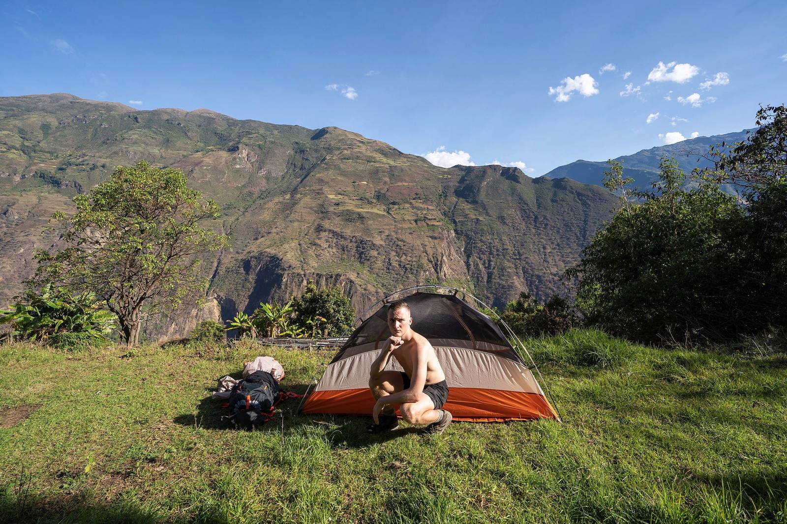
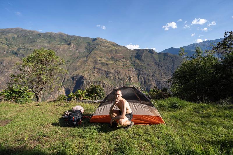
My tent on the afternoon of Day 1.

South America · Peru

Choquequirao and Ausangate

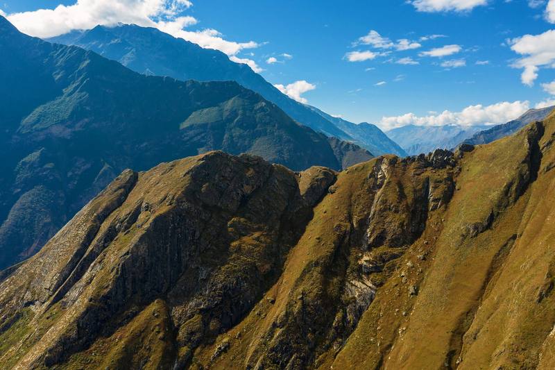
Apurímac canyon and the Andes near Cusco, Peru

Distance
29.3 mi47.2 km
Days
3 days3 days to Choquequirao
Elevation gain
12,461 ft3,798 m
High point
10,052 ft3,064 m
Season
The dry season, about May to September
Lodging
Tent
Plan this hike

Hikes / South America / Choquequirao and Ausangate

In May 2019 I flew to Peru with one goal: to hike to Choquequirao and make a film about it. Choquequirao is an Inca site high on a ridge above the Apurímac canyon, often called the sister city of Machu Picchu. There's no road to it. You walk down one side of the canyon, cross the river and climb the other side, then come back the same way. I did it alone in three days, from the Capuliyoc trailhead above the village of Cachora, about 30 miles with a tent.

Kraig Adams

Effort at this pace: Very hard · about 10 mi (16 km) and 4,154 ft (1,266 m) of climbing a day over 3 days, up to 10,052 ft (3,064 m). Our grade for the days given, worked out from distance, climbing and altitude a day; it isn't the trail's usual difficulty rating (under Basics) and doesn't rate exposure, terrain or weather.

Where these numbers come from

From Kraig Adams's GPS recording and guide.

Plan this hikeSave this hike

Plan: dates, gear, deadlines and stays in a private link. Save: keeps it on your account.

From Kraig Adams's GPS

The route, day by day

Relief map of the Choquequirao route: 3 days drawn in red with numbered day starts, labelled Capuliyoc and Santa Rosa Alta.

Elevation4,856–10,052 ft29.3 mi

From Kraig Adams's GPS. Terrain: Mapzen Terrain Tiles (SRTM, GMTED) on AWS · Glaciers, rivers & lakes © OpenStreetMap contributors

Tap a day for his map of it

  • Read day 1
  • Read day 2
  • Read day 3

The film

Watch it first

Hiking Alone in Peru

Kraig Adams · May 2019 · Solo

My tent on the afternoon of Day 1.
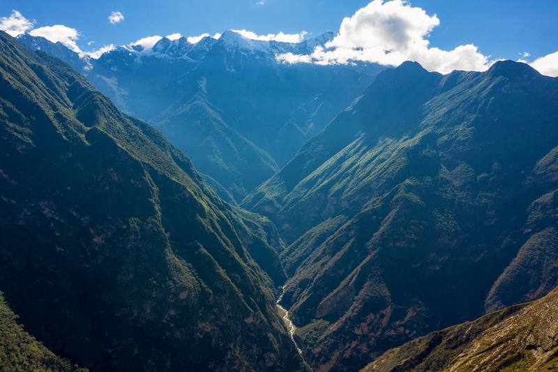
The Apurímac canyon and the snow peaks beyond it, on the way down on Day 1.
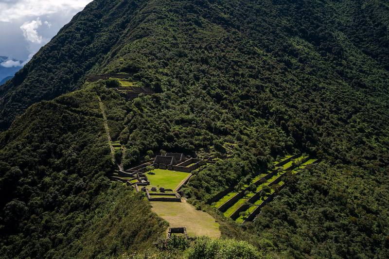
The terraces of Choquequirao from above, Day 2.
The canyon slopes that Day 3 climbs, seen on the way down on Day 1.

Before you go

The basics

Start
Capuliyoc, at the end of the road 11 km (7 mi) above Cachora
Finish
Capuliyoc, at the end of the road 11 km (7 mi) above Cachora
Direction
Out and back: down to the Apurímac, up to Choquequirao, and back the same way
Usual difficulty
Steep: two big climbs in the heat each way, on a clear mule trail. My Day 2 was one of the toughest things I've ever done
Best time
The dry season, about May to September. I walked May 25 to 27, 2019
Permits
No guide was required on my trip, and I found no official rule requiring one in 2026. You need an entry ticket, S/60 general or S/30 for students in 2026, valid for one day. I paid at the booth at Capuliyoc, and in September 2026 it wasn't sold online, so bring cash in soles.
Getting there
What I did. I flew to Cusco on May 22, 2019 and spent a couple of days there getting supplies. The airline lost my luggage. I left my computer and everything I didn't need at my hostel in Cusco. On May 24 I took a 4 p.m. Ferkaxi bus from Cusco toward Abancay (S/20) and got off at the Ramal de Cachora, the turnoff for Cachora. There was a little drama getting to the trailhead with the bus. From the turnoff I hired a taxi to Cachora (about $10).
Lodging
Tent

From Kraig Adams's guide

Costs and gear

What it cost

The ticket is still S/60

His costs, line by line

What Kraig carried

a 45-liter pack · CamelBak bladder · REI Passage tent · my sleeping bag · WellaX Ultralight Air Sleeping Pad · my water filter · Jetboil Flash · TOAKS Titanium Long Handle Spoon and 22 more.

The full gear list

From Kraig Adams's guide

Safety

Rescue numbers

  • Emergency numbers (2026). Police 105, fire service 116. The SAMU ambulance number 106 isn't listed for Cusco or Apurímac. iPerú, the government's tourist information service, answers on WhatsApp at 944 492 314; it isn't an emergency line. Don't count on phone signal in the canyon; a satellite messenger is the real backup.

Phone signal

  • There's no phone signal to count on, so leave your plan with someone at home.

Insurance

  • Make sure your travel insurance covers trekking and unexpected medical evacuation.

Bail-out points

  • Day 1, Capuliyoc to Santa Rosa Alta. Turn around and walk back up to Capuliyoc: the only way out is the way you came. The campsites have people on them in the season. The longest and hottest part of the walk out is the last few miles to Capuliyoc.
  • Day 2, Santa Rosa Alta to Choquequirao and back to Playa Rosalina. Marampata is the place to stop and rest: it has campsites, food and people. From anywhere on this day, the only way out is back down to the river and up to Capuliyoc.
  • Day 3, Playa Rosalina to Capuliyoc. There's nowhere else to go: keep climbing, slowly. Rest at Chiquisca or Cocamasana, or camp there and finish in the morning.

From Kraig Adams's guide. For planning, not navigation: check before you go.

Their films and versions

Creators who've done it

1 creator so far: Kraig, 3 days, tent.

Walked Choquequirao and Ausangate? Be the first to share your track: log it with your GPX.

Your time

Sign in and log a few hikes to see how long this one would take you.

Typical: 3 days to Choquequirao (the hike's facts).

Ask this hike

Planning questions about Choquequirao and Ausangate, answered only from this page's facts, the creators' versions and hikers' public tracks, with where each answer comes from. When the data doesn't say, the answer says "not given".

    From hikers

    Comments

    Sign in to comment. Free; your hikes stay private unless you share them.

    Answered from the data

    Questions people ask

    How many days do you need for Choquequirao and Ausangate?

    I did it alone in 3 walking days, 29.3 miles out and back from Capuliyoc, with 2 nights in my tent. Most people take 4 or 5 days, and my Day 2, up to the ruins and back down to the river, was far too long.

    From Kraig Adams's trip and guide.

    How much does Choquequirao and Ausangate cost?

    The ticket is still S/60 (S/30 for students). Bus fares, taxis, campsites and food on the trail are cash in soles; I couldn't check 2026 prices for them on any official site.

    From Kraig Adams's trip and guide.

    When is the best time to hike Choquequirao and Ausangate?

    The dry season, about May to September. Avoid January to April, when landslides damage the trail: the park closed from February 1, 2026 until the Cachora route reopened on April 15, 2026. I walked May 25 to 27, 2019.

    From Kraig Adams's trip and guide.

    Do you need a permit for Choquequirao and Ausangate?

    No guide was required on my trip, and I found no official rule requiring one in 2026. You need an entry ticket, S/60 general or S/30 for students in 2026, valid for one day. I paid at the booth at Capuliyoc, and in September 2026 it wasn't sold online, so bring cash in soles.

    From Kraig Adams's trip and guide.

    Where do you sleep on the Choquequirao trek?

    At the campsites along the trail; you can't camp inside the archaeological site. I slept in my tent at Santa Rosa Alta and Playa Rosalina, and I'd recommend at least one night at Marampata.

    From Kraig Adams's trip and guide.

    How do you get to the start of the Choquequirao trek?

    Take a bus from Cusco toward Abancay to the Cachora turnoff, then a taxi to Cachora, about 3 hours by road from Cusco. From Cachora it's about 11 km by taxi to the Capuliyoc trailhead. In 2019 I paid S/20 for the bus and about $10 for each taxi.

    From Kraig Adams's trip and guide.

    Plan this hikeThe route