 Summiting Mt Whitney in California

Kraig AdamsApr 2021 · Solo
- Days
- 2 days
- Direction
- Out and back on the Mount Whitney Trail
- Cost
- See his costs
- Lodging
- Tent
North America · United States
Sierra Nevada, California
Hikes / North America / Mount Whitney
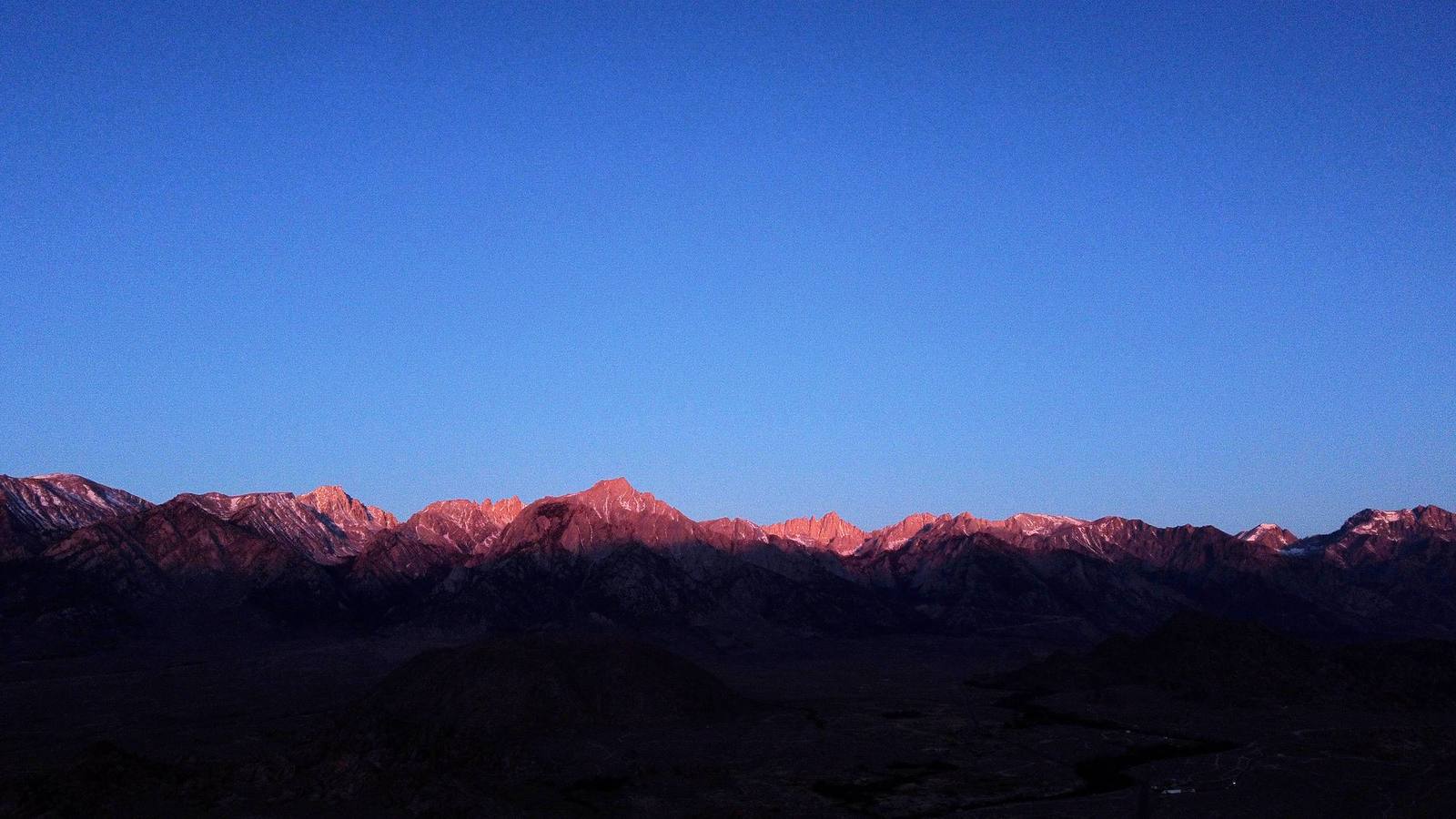
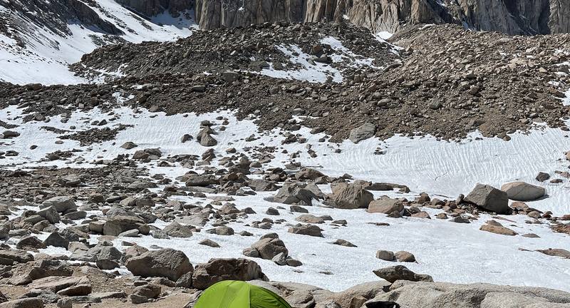
In April 2021 I hiked Mount Whitney, the highest point in the lower 48 states, 14,505 ft (4,421 m), on the Mount Whitney Trail from Whitney Portal. I flew from New York to Las Vegas, drove through Death Valley to the small town of Lone Pine, and did it in two days: up to Trail Camp, about 12,000 ft, on the first day, where I slept to get used to the altitude, then up the switchbacks to Trail Crest, along the back of the ridge to the summit, and all the way back down to my car on the second. About 20.8 miles by my GPS: 7.3 on the first day and 13.6 on the second. It's the trip from my film Summiting Mt Whitney in California.
Kraig Adams
Effort at this pace: Very hard · about 10 mi (17 km) and 3,250 ft (991 m) of climbing a day over 2 days, up to 14,505 ft (4,421 m). Our grade for the days given, worked out from distance, climbing and altitude a day; it isn't the trail's usual difficulty rating (under Basics) and doesn't rate exposure, terrain or weather.
From Kraig Adams's GPS recording and guide.
From Kraig Adams's GPS

Elevation8,268–14,478 ft20.4 mi
From Kraig Adams's GPS. Terrain: Mapzen Terrain Tiles (USGS 3DEP, SRTM) on AWS · Rivers & lakes © OpenStreetMap contributors
Tap a day for his map of it
The film
 Summiting Mt Whitney in California
Before you go
From Kraig Adams's guide
When bookings open, from the sources named under each. Dates move: confirm on the official site.
Apply February 1 to March 1; results March 15; leftover dates go on sale at 7 a.m. Pacific on April 22. From November 2 to April 30 there's no quota and permits open two weeks before your trip.
Next: Feb 1, 2027 to Mar 1, 2027
Book on recreation.gov, permit 445860.
Source: Kraig Adams's Mount Whitney guide: Permits and the rules (checked on Inyo National Forest and recreation.gov Oct 2, 2026). Checked October 2026.
From Kraig Adams's guide
From Kraig Adams's guide. For planning, not navigation: check before you go.
Their films and versions
1 creator so far: Kraig, 2 days, tent.
Summiting Mt Whitney in California
Walked Mount Whitney? Be the first to share your track: log it with your GPX.
Sign in and log a few hikes to see how long this one would take you.
Typical: 2 days (the hike's facts).
Planning questions about Mount Whitney, answered only from this page's facts, the creators' versions and hikers' public tracks, with where each answer comes from. When the data doesn't say, the answer says "not given".
From hikers
Sign in to comment. Free; your hikes stay private unless you share them.
Answered from the data
Two is what I did: up to Trail Camp on the first day, the summit and all the way down on the second. With a day permit you do it all in one long day. With the drive, I spent four days: in on the first, hike for two, out on the fourth.
From Kraig Adams's trip and guide.
The permit is $15 per person plus $6. Waste kits are free, a bear can rents for about $5 a day in Lone Pine, and Whitney Portal Campground is $34 a night. A three-night trip from Las Vegas by car comes to roughly $550 to $950 for one person before food, flights not included.
From Kraig Adams's trip and guide.
July to September, when the trail is usually snow-free and most people go. I went April 22 and 23, 2021, with snow above Lone Pine Lake.
From Kraig Adams's trip and guide.
Yes, for day hikes and overnight trips, all year. From May 1 to November 1 permits go by a lottery on recreation.gov (apply February 1 to March 1; leftover dates from April 22). From November 2 to April 30 there's no quota and you book two weeks ahead. $15 per person plus a $6 reservation fee.
From Kraig Adams's trip and guide.
Yes, in October 2026: the Inyo National Forest listed no trail closure and Whitney Portal Road was open all the way up. The road is gated below the trailhead in winter, and outside about late June to mid-October there's snow and ice above Trail Camp.
From Kraig Adams's trip and guide.
Officially 10.7 miles each way from Whitney Portal, 21.4 round trip, with over 6,000 ft of climbing. My GPS recorded 20.8 miles over two days: 7.3 to Trail Camp, then 13.6 to the summit and back down to the Portal.
From Kraig Adams's trip and guide.
It depends on the month. From about late June to mid-October you usually need neither crampons nor an ice axe. In spring, early summer and late autumn the Forest Service and the national park say ice axe and crampons; I wore microspikes in late April 2021 in a light snow year.
From Kraig Adams's trip and guide.
Yes: most permits are day permits. It's about 21 to 22 miles round trip with over 6,000 ft up and down, and day hikers take about 12 to 16 hours. Spend a night or two at around 8,000 ft first for the altitude.
From Kraig Adams's trip and guide.