 Hiking to Laguna 69 in Peru
South America · Peru
Laguna 69
Cordillera Blanca, Peru
- Distance
- 14.3 mi23.0 km
- Days
- 2 days
- Elevation gain
- 4,134 ft1,260 m
- High point
- 15,906 ft4,848 m
- Season
- The dry season, May to September, with…
- Lodging
- Huts
Hikes / South America / Laguna 69
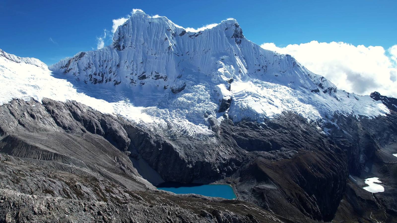
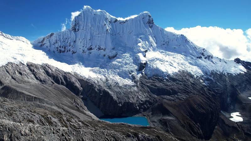
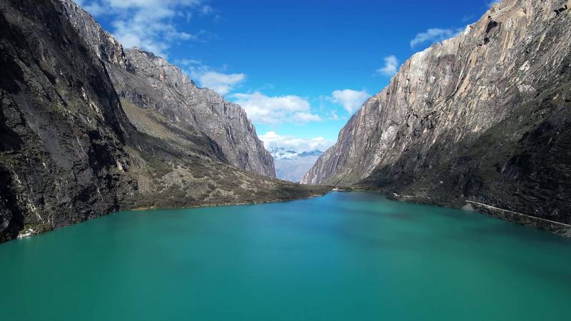
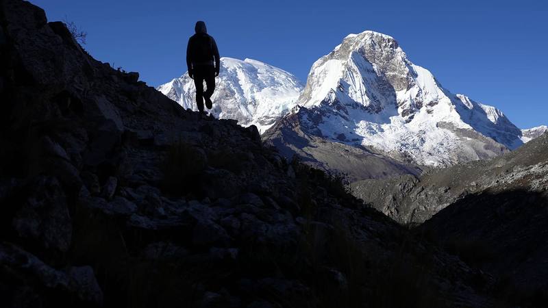
In June 2021 I hiked to Laguna 69 in Peru's Cordillera Blanca. I flew from New York to Lima, took the night bus up to Huaraz, spent a few days there getting used to the altitude, and then rode an early shuttle into Huascarán National Park. Instead of the usual day trip up to the lake and back, I made it two days: I walked up the Llanganuco valley to Refugio Perú, a stone mountain hut at about 15,320 ft (4,670 m), slept there, and crossed over a high shoulder the next morning to come down to Laguna 69 from above. About 14.3 miles (23 km) over two days by my GPS. It's the trip from my film Hiking to Laguna 69 in Peru.
Kraig Adams
Effort at this pace: Hard · about 7 mi (11 km) and 2,067 ft (630 m) of climbing a day over 2 days, up to 15,906 ft (4,848 m). Our grade for the days given, worked out from distance, climbing and altitude a day; it isn't the trail's usual difficulty rating (under Basics) and doesn't rate exposure, terrain or weather.
Where these numbers come from
From Kraig Adams's GPS recording and guide.
From Kraig Adams's GPS
The route, day by day

Elevation12,556–15,906 ft14.3 mi
From Kraig Adams's GPS. Terrain: Mapzen Terrain Tiles (SRTM, GMTED) on AWS · Glaciers, rivers & lakes © OpenStreetMap contributors
Tap a day for his map of it
Download GPX214 KB · free
The film
Watch it first
 Hiking to Laguna 69 in Peru
Before you go
The basics
- Start
- The road above Chinancocha, the first Llanganuco lake, about 12,600 ft (3,845 m), about 3 hours by road from Huaraz (about 10,000 ft)
- Finish
- The Cebollapampa trailhead, about 12,830 ft (3,910 m), the start of the usual Laguna 69 day hike
- Usual difficulty
- Good trails made hard by the altitude: you sleep above 15,000 ft
- Best time
- The dry season, May to September, with June to August almost rainless. The rains run from October to April. Start early: clouds build in the afternoon.
- Permits
- Book through an agency with a SERNANP contract; park ticket S/60 (S/30 for the day hike)
- Getting there
- My way in, 2021. I flew from New York to Lima, about 9 hours and about $500 one way. At the airport I took about 400 soles out of an ATM, then took a taxi, about $10, to the Plaza Norte bus terminal. (In 2021 they asked you to wear two masks and a face shield on the bus; none of that applies now.) The bus left at 9 p.m., I slept most of the way, and I woke up to a sunrise in Huaraz. It was about $10 or $11 one way.
- Lodging
- Huts
From Kraig Adams's guide
Costs and gear
What Kraig carried
a daypack-sized backpack · my sleeping bag · a puffy jacket and a beanie, and a hooded layer on the trail · a cap · a water bottle · the AllTrails app · Advil · Hyperlite Mountain Gear Waypoint 35 and 15 more.
From Kraig Adams's guide
Safety
Rescue numbers
- Emergency: police 105, ambulance 106. No reliable signal past the lakes; the hut has a radio.
Phone signal
- Plan as if there's none past the lakes.
- The hut has a radio.
Insurance
- Get travel insurance that covers trekking above 15,000 ft, rescue and medical evacuation.
Bail-out points
- Day 1, Chinancocha to Refugio Perú. The road to Cebollapampa is the easy part: you can wait for a bus or walk back down anytime. On the climb, if anyone has a bad headache, nausea or dizziness, go down: that's the only treatment that works, and the valley floor is 2,500 ft below the hut. Don't push on to sleep at 15,320 ft with symptoms.
- Day 2, Refugio Perú to Laguna 69 and Cebollapampa. If you wake at the hut with a bad headache, nausea or dizziness, don't go up to the shoulder: go back down the way you came to Cebollapampa, 3 miles and 2,500 ft below. On the shoulder, the weather can turn; if clouds hide the route, go back to the hut. Once you've reached the lake, the only way out is down the main trail, which is busy and clear.
From Kraig Adams's guide. For planning, not navigation: check before you go.
Their films and versions
Creators who've done it
1 creator so far: Kraig, 2 days, huts.
Hiking to Laguna 69 in Peru

Walked Laguna 69? Be the first to share your track: log it with your GPX.
Your time
Sign in and log a few hikes to see how long this one would take you.
Typical: 2 days (the hike's facts).
Ask this hike
Planning questions about Laguna 69, answered only from this page's facts, the creators' versions and hikers' public tracks, with where each answer comes from. When the data doesn't say, the answer says "not given".
From hikers
Comments
Sign in to comment. Free; your hikes stay private unless you share them.
Answered from the data
Questions people ask
How many days do you need for Laguna 69?
Kraig Adams hiked it in 2 days, about 14 miles.
From Kraig Adams's trip and guide.
How much does Laguna 69 cost?
In 2026 a day tour from Huaraz is about S/50 to 80 (about $15 to $23), and foreigners pay the S/30 park ticket on top (S/60 for a 2 to 3 day visit). A two-day trip with a night at Refugio Perú runs about $175 to $520 a person through an agency, depending on group size.
From Kraig Adams's trip and guide.
When is the best time to hike Laguna 69?
The dry season, May to September, with June to August almost rainless. The rains run from October to April. Start early: clouds build in the afternoon.
From Kraig Adams's trip and guide.
Do you need a permit for Laguna 69?
Book through an agency with a SERNANP contract; park ticket S/60 (S/30 for the day hike).
From Kraig Adams's trip and guide.
Can you hike Laguna 69 without a tour in 2026?
Not on your own. Since February 9, 2026, Huascarán National Park only lets visitors into Laguna 69 and the Nevado Pisco circuit through travel agencies with a SERNANP contract, which buy the digital tickets. A day tour from Huaraz is the simplest way to go.
From Kraig Adams's trip and guide.
How far is the Laguna 69 hike?
By my GPS the trail from the Cebollapampa trailhead to the lake is 4.2 miles (6.7 km) each way, about 8.3 miles round trip with about 2,300 ft of climbing, to about 15,090 ft (4,600 m). Most people take about 3 hours up and 2 down.
From Kraig Adams's trip and guide.
How high is Laguna 69 and do I need to acclimatize?
The lake is at about 15,090 ft (4,600 m), about 5,100 ft above Huaraz. Spend at least two or three nights in Huaraz first, with an acclimatization hike such as Laguna Wilcacocha or Laguna Churup.
From Kraig Adams's trip and guide.
Can you stay overnight near Laguna 69?
Yes, at Refugio Perú, a staffed hut at about 15,320 ft below Nevado Pisco, open May 1 to September 30. In 2026 a night with dinner and breakfast was S/212 with tax. You can't camp at the lake, and since 2026 the hut route also goes through an authorized agency.
From Kraig Adams's trip and guide.
Can you swim in Laguna 69?
No. Swimming is banned and there's a sign at the lake; in 2026 a visitor who swam faced a fine of up to S/55,000. Drones need a SERNANP permit and dogs aren't allowed.
From Kraig Adams's trip and guide.