
Content made there
The film is at the top of this page.
Hikes / Humphreys Peak / Kraig Adams's version
North America · United States
Nov 2020

I went, in November 2020. My film of it is below.
No written guide for this trip yet: watch the film.
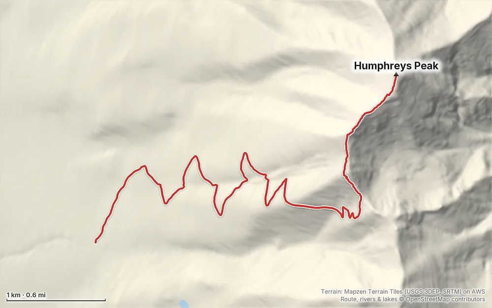
Terrain: Mapzen Terrain Tiles (USGS 3DEP, SRTM) on AWS · Route, rivers & lakes © OpenStreetMap contributors
The Forest Service trail page lists no permit or fee. Above the tree line (11,500 ft) you must stay on the trail unless on snow, and no camping (order in force to December 2029)
From the hike's facts; check the official page before you go.
The film is at the top of this page.
Planning questions about Humphreys Peak, answered only from this page's facts, the creators' versions and hikers' public tracks, with where each answer comes from. When the data doesn't say, the answer says "not given".
From hikers
Sign in to comment. Free; your hikes stay private unless you share them.
Something wrong or missing on this page? Send feedback.