
Content made there
The film is at the top of this page.
Photos
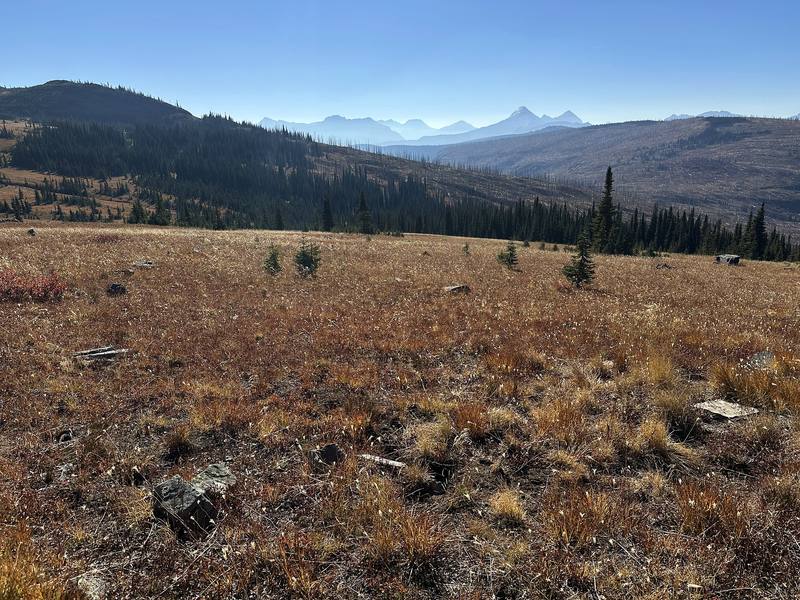
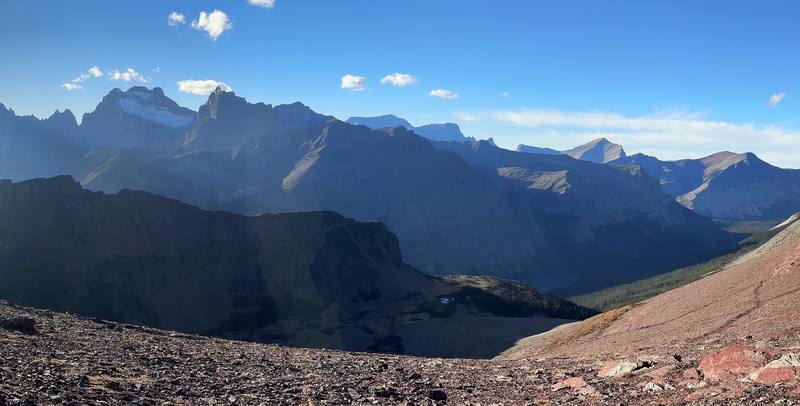
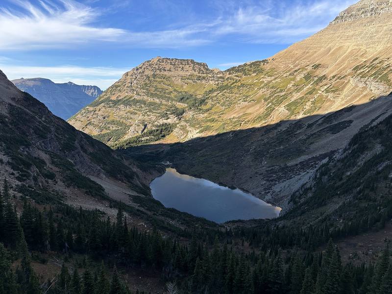
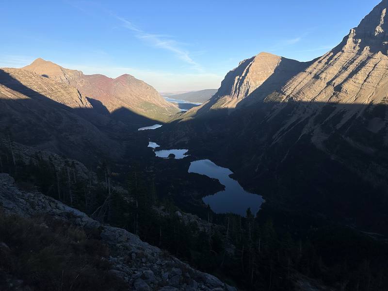
Hikes / Glacier National Park / Kraig Adams's version
North America · United States
Oct 2024 · 3 days · about 65 miles · Solo · Tent

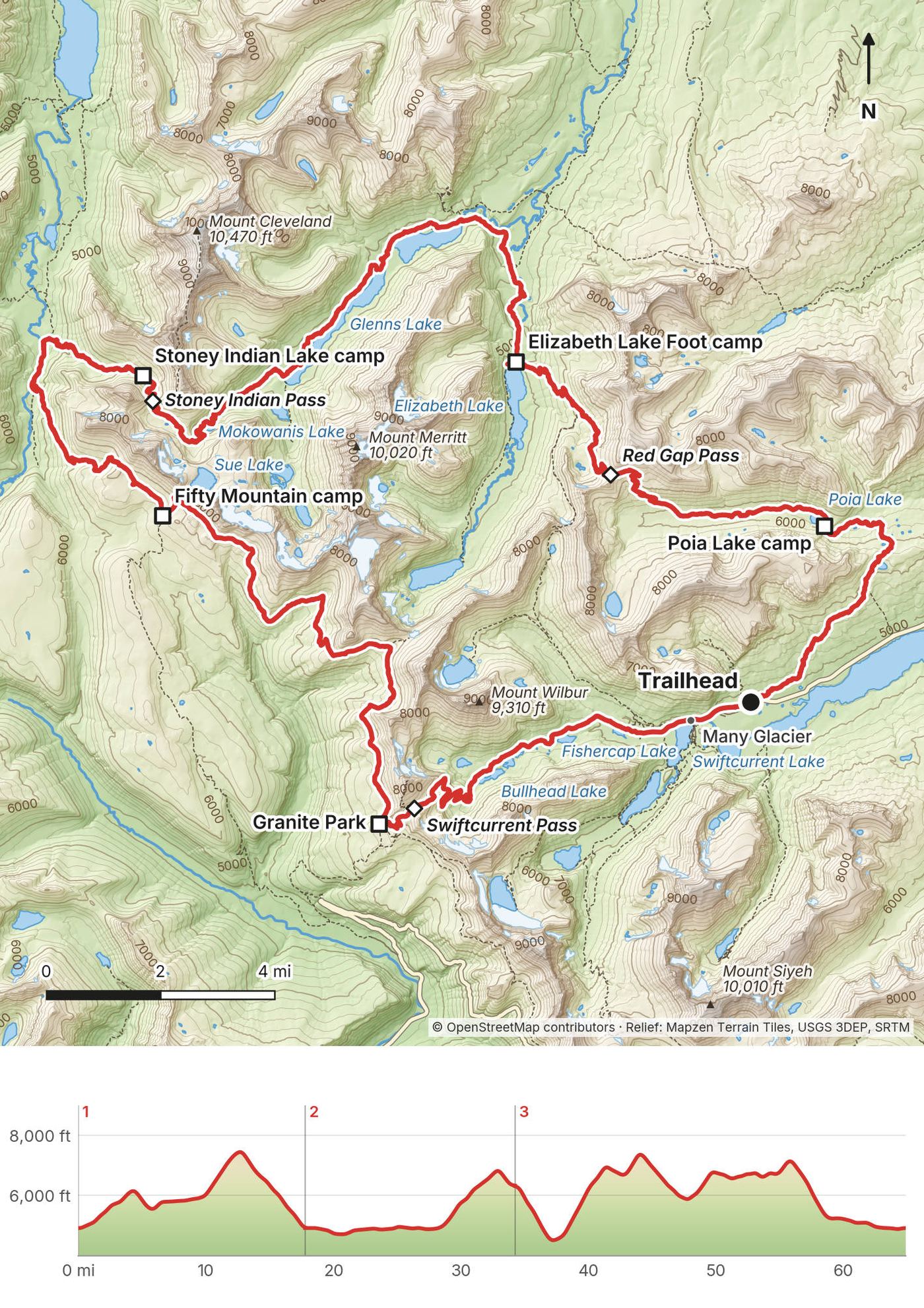
In October 2024 I hiked alone for three days in Glacier National Park, Montana: about 65 miles on a loop from the Many Glacier Road, over Red Gap Pass to Elizabeth Lake, along Cosley and Glenns lakes, over Stoney Indian Pass, up to Fifty Mountain, south on the Highline to Granite Park and over Swiftcurrent Pass back to Many Glacier. It's the trip from my film Hiking Alone in Glacier National Park.
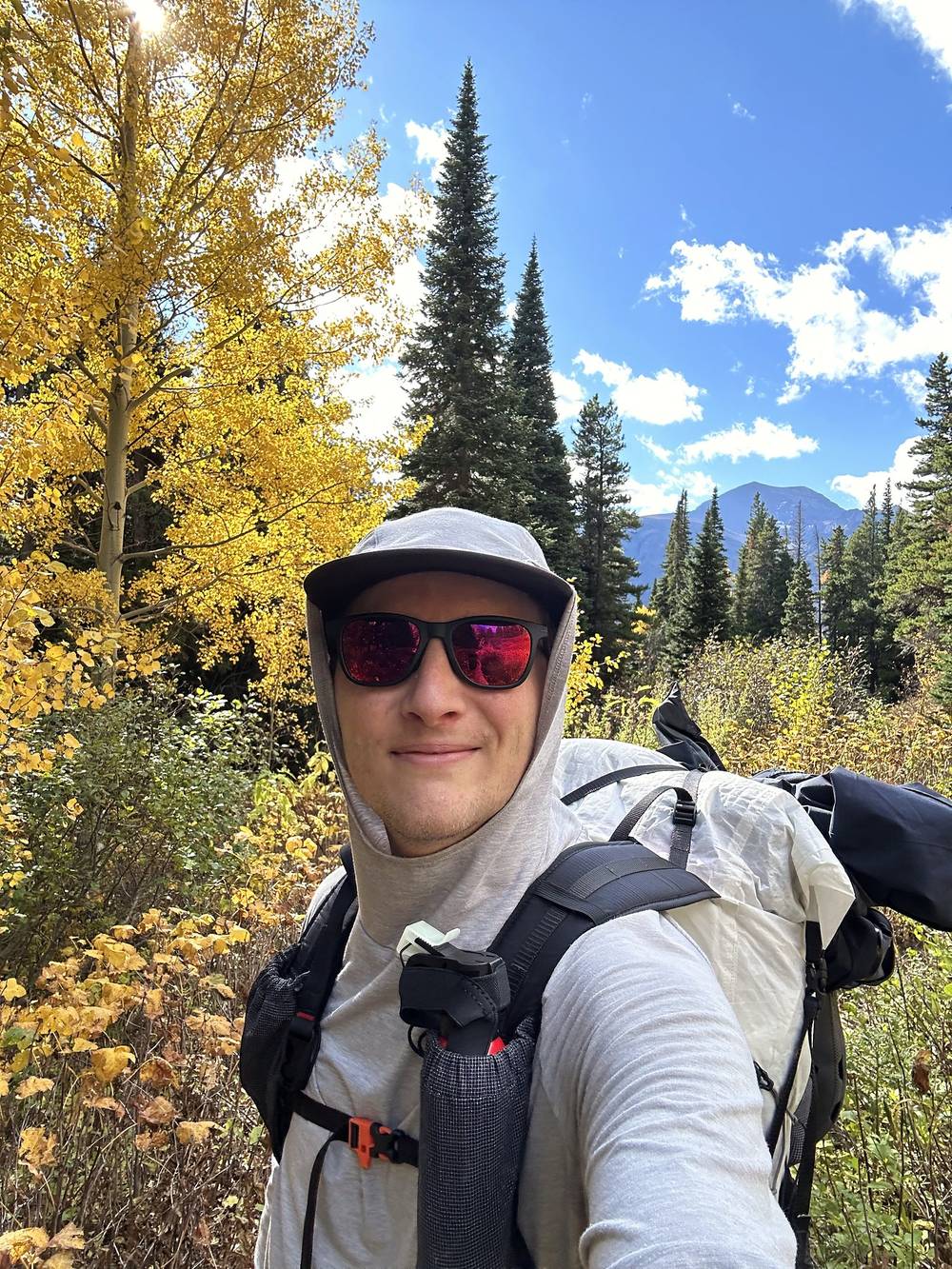
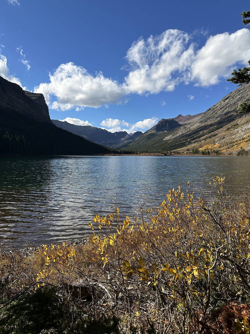
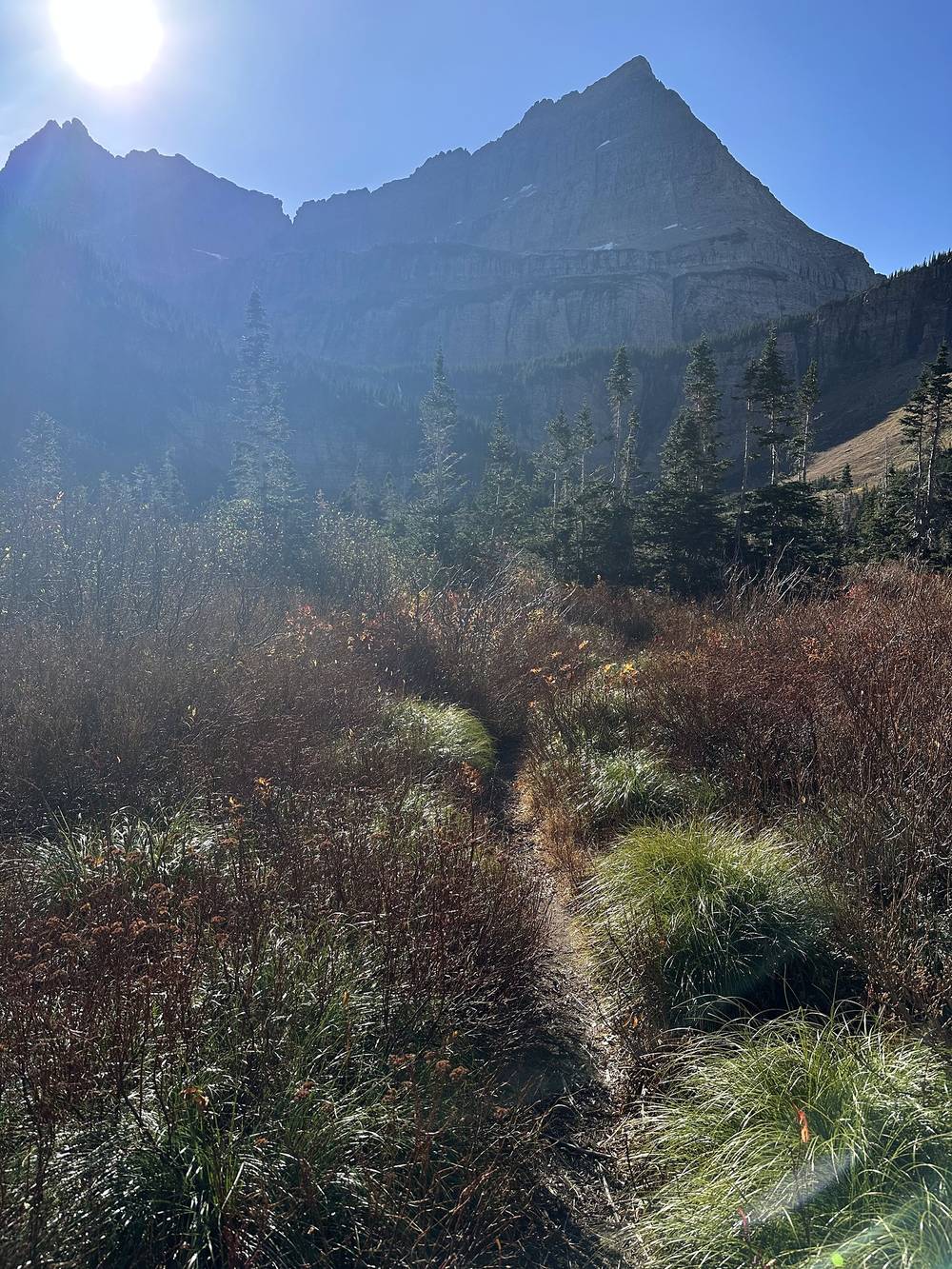
It was deep into shoulder season. The fall colors were in full effect, with all of the yellow down in the valleys, especially near the lakes. The park was very quiet: in three days and 65 miles I saw two other hikers.
| Quick facts | |
|---|---|
| Distance | 64.9 miles (104.5 km) in 3 days and 2 nights, a loop on foot from the Many Glacier Road (4,910 ft) |
| Climbing | about 11,180 ft (3,410 m) up and 11,140 ft (3,400 m) down |
| High point | Red Gap Pass, 7,525 ft (2,294 m) on my GPS, Day 1 |
| When | Summer to early fall. I walked October 10 to 12, 2024 |
| Difficulty | Three passes, long days, fords in fall, grizzly country, no phone signal |
| Permit | A wilderness permit for every night (2026: $10 plus $7 per person per night). In October, walk-up only |
| Status | On October 1, 2026 the park listed the Highline from Fifty Mountain to Granite Park as closed for bear activity, which cuts this loop. Check the park's trail status before you go |
| Day | Route | Miles (km) | Up / down (ft) | Sleep |
|---|---|---|---|---|
| 1 | Many Glacier Road over Red Gap Pass to Elizabeth Lake | 17.8 (28.6) | 3,303 / 3,288 | Tent, 4,920 ft |
| 2 | Elizabeth Lake past Glenns Lake to Stoney Indian Pass | 16.5 (26.5) | 2,432 / 1,016 | Tent, 6,320 ft |
| 3 | Fifty Mountain and the Highline to Many Glacier | 30.7 (49.4) | 5,441 / 6,836 | Off the trail |
Numbers are from my own GPS. My permit had a third night at Granite Park, and the park's own advance bookings allow at most 16 miles a day; I skipped that camp and walked out, which made Day 3 a 30-mile day. Most people take four to six days.
How I got there. I flew in from New York (JFK through Salt Lake City to Glacier Park International Airport at Kalispell, FCA), arriving at about midnight, and got a hotel in Kalispell because I needed to charge batteries and get one good night's sleep. I rented a car at the airport. Then it was a bit of driving: picking up supplies, bear spray and some food, my permit, and over to the Many Glacier Road. I started hiking just before noon.
The trailhead. The Poia Lake and Red Gap Pass trail starts on the Many Glacier Road at Apikuni Flat (the park also spells it Appekuny), about 10 miles west of Babb and 2 miles east of Swiftcurrent at the end of the road. I parked there and walked back to my car at the end. Parking is limited.
Driving from Kalispell. In October the Many Glacier Road is reached from the east side: US-2 over Marias Pass to East Glacier, US-89 north through Browning, St. Mary and Babb (roughly 145 to 150 miles and 3 to 3.5 hours; check in a map app). Going-to-the-Sun Road is shorter when it's open over Logan Pass, but slower, and closes in mid to late October. Remember that in October the walk-up permit office may only be at Apgar, on the west side, so plan the drive around it.
Other ways in. Amtrak's Empire Builder stops at West Glacier year round and at East Glacier Park seasonally. The park's shuttle ran only on Going-to-the-Sun Road, July 1 to September 7, in 2026; there's no shuttle to Many Glacier in October.
Gas and supplies. There's no gas in the park. Babb, on the way to Many Glacier, has a store and gas. Buy food and bear spray in Kalispell or on the way.
| Item | What I paid in 2024 |
|---|---|
| Wilderness permit, 3 nights, 1 person | $31 ($10 plus 3 nights at $7) |
| Flight, New York JFK to Kalispell (one way, Delta) | $358.98 |
| Hotel in Kalispell, the night before | $175 |
| Motel in Kalispell, the night I walked out | $67 |
| Rental car at Kalispell airport | $295.39 quoted for 7 days at booking |
| Park entrance | Not in my records |
| Food, bear spray, the flight home | Not in my records |
For your budget (2026 prices). Permit $10 plus $7 per person per night (May 1 to October 31). Park entrance $35 per vehicle for 7 days, or $70 for a Glacier annual pass; non-US residents 16 and older add $100 unless they hold an annual or America the Beautiful pass. Advance-lottery applications cost $10 more. There's no gas in the park.
| Night | Where | Height (my GPS) |
|---|---|---|
| Before Day 1 | A hotel in Kalispell | |
| 1 | My tent at the Elizabeth Lake Foot camp (Day 1 mile 17.7) | 4,920 ft (1,500 m) |
| 2 | My tent at the Stoney Indian Lake camp (Day 2 mile 16.5) | 6,320 ft (1,927 m) |
| 3 | Planned: Granite Park camp. I walked out instead and slept in a motel in Kalispell |
My permit had three camps, one night each: Elizabeth Lake Foot (ELF), Stoney Indian Lake (STO; spelled "Stony" on the permit) and Granite Park (GRN). Every one said no campfires, and food, garbage and anything scented had to be hung on the camp's food pole or put in its bear box. The permit said to bring durable bags and at least 25 ft of rope or paracord to hang them, because they aren't provided.
Lunch on Day 1 was plant-based noodles with olive oil added for calories. Something I keep forgetting is seaweed: it's not heavy on calories, but it adds great texture to soup and it's very light. Coffee in the morning, and spicy ramen at Stoney Indian Lake. Nearly at camp on Day 1, I wasn't even that hungry and wasn't sure I'd cook before bed. I bought my food and bear spray on the drive in. There's nothing to buy on the trail.
Streams and lakes most of the way. The low parts of Days 1 and 2 follow lakes and rivers. The high stretches (Red Gap Pass, the climb to Stoney Indian Pass, the Highline between Fifty Mountain and Granite Park) are higher and drier: fill up before you climb. Boil water for at least a minute or use a filter; the park warns about Giardia.
Every backcountry camp on this loop has a privy (Recreation.gov). Between camps, go well away from water and trails and bury your waste.
My 2024 kit, from the film and my photos. The film doesn't list everything I carried.
What this loop needs (the park's list and the season):
It was day one and almost high noon. I started a little late with a big day ahead, about 18 miles, so it was almost certain I'd get to camp in the dark. I felt optimistic. The weather was beautiful and the fall colors were in full effect: all of the yellow down in the valleys, especially near the lakes. I was out there by myself during the busy bear season before winter, so it was a bit more dangerous than usual.
I'd planned three days and two nights. After talking to the ranger and getting my permit, it became four days and three nights, because the Ptarmigan Tunnel had closed for the winter a couple of days before and I had to take an alternate path: Red Gap Pass. That was fine, not a big deal. The ranger was super nice, and there was absolutely no one out there, so I had my pick of camps.
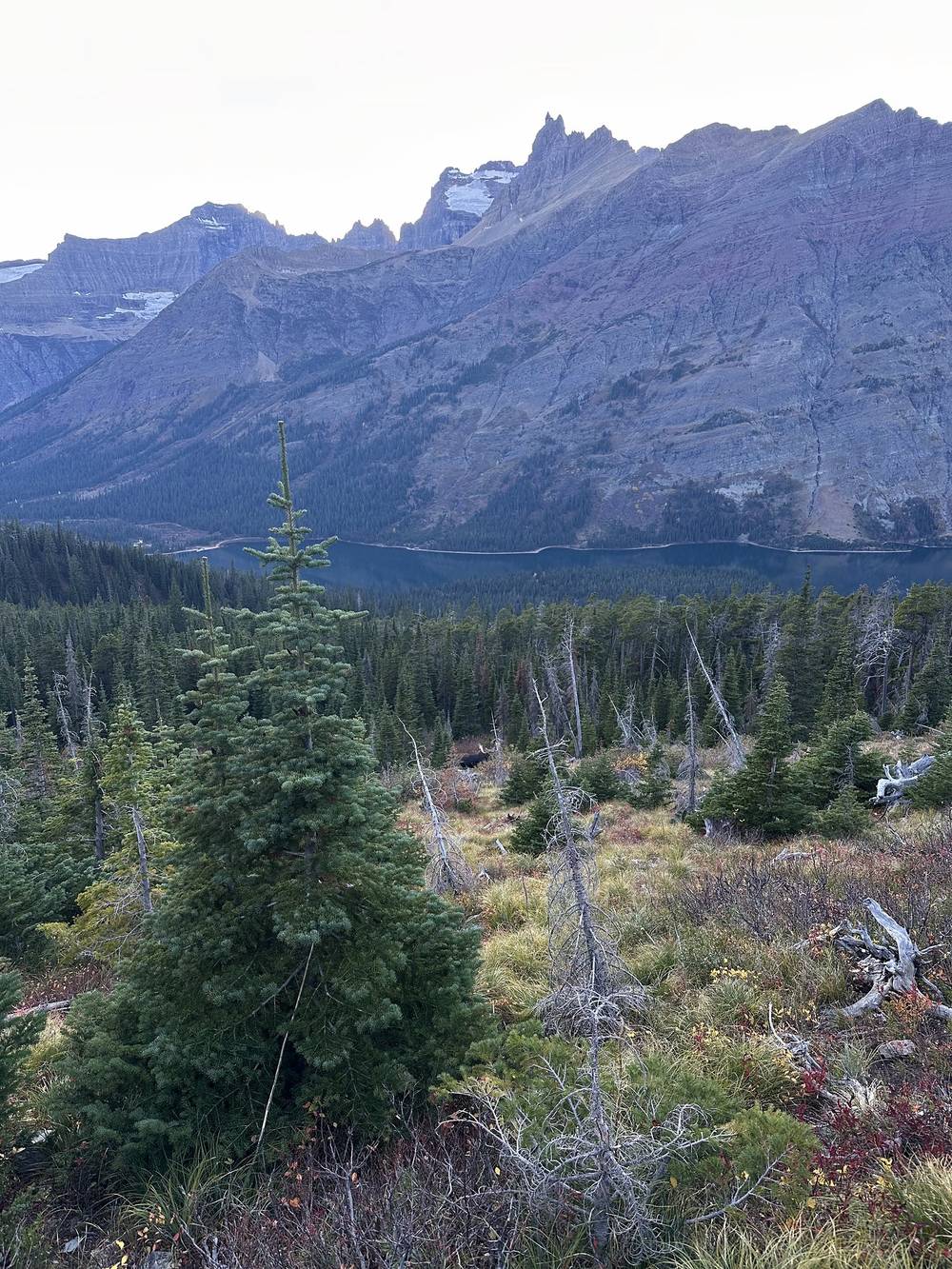
Lunch was plant-based noodles; I add olive oil to raise the calories, and it tastes a little better too. I didn't see a single person. Coming down toward Elizabeth Lake I thought I'd run into my first bear, down below the trail. It was a moose, and it ran off. I saw two moose that day.
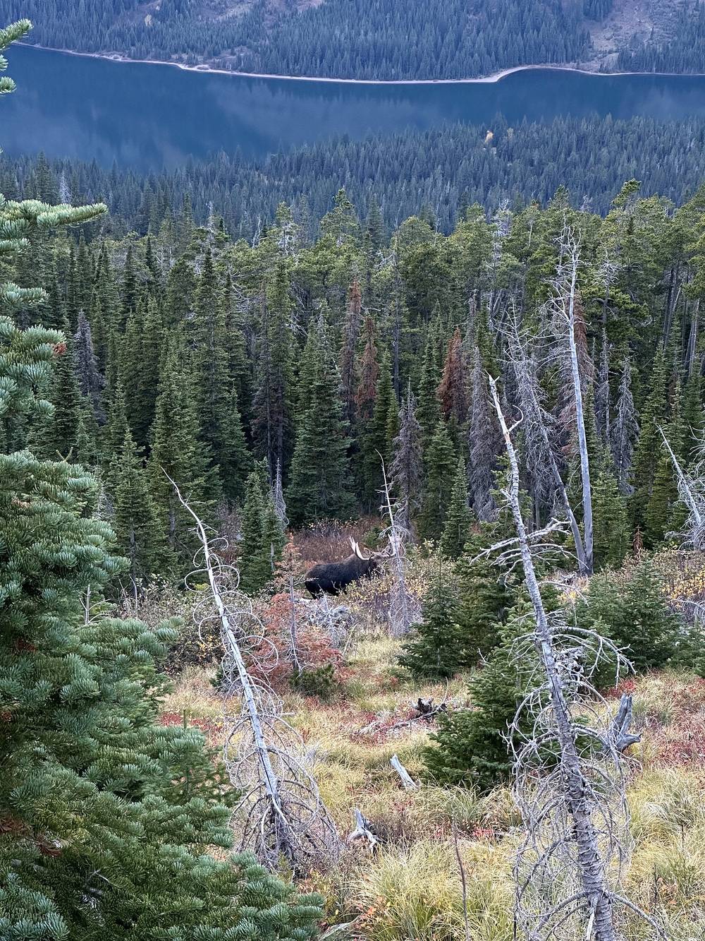
Almost at camp: a big day, and I felt accomplished. A little stream crossing right before camp, in the dark, was not fun and made my feet really cold.
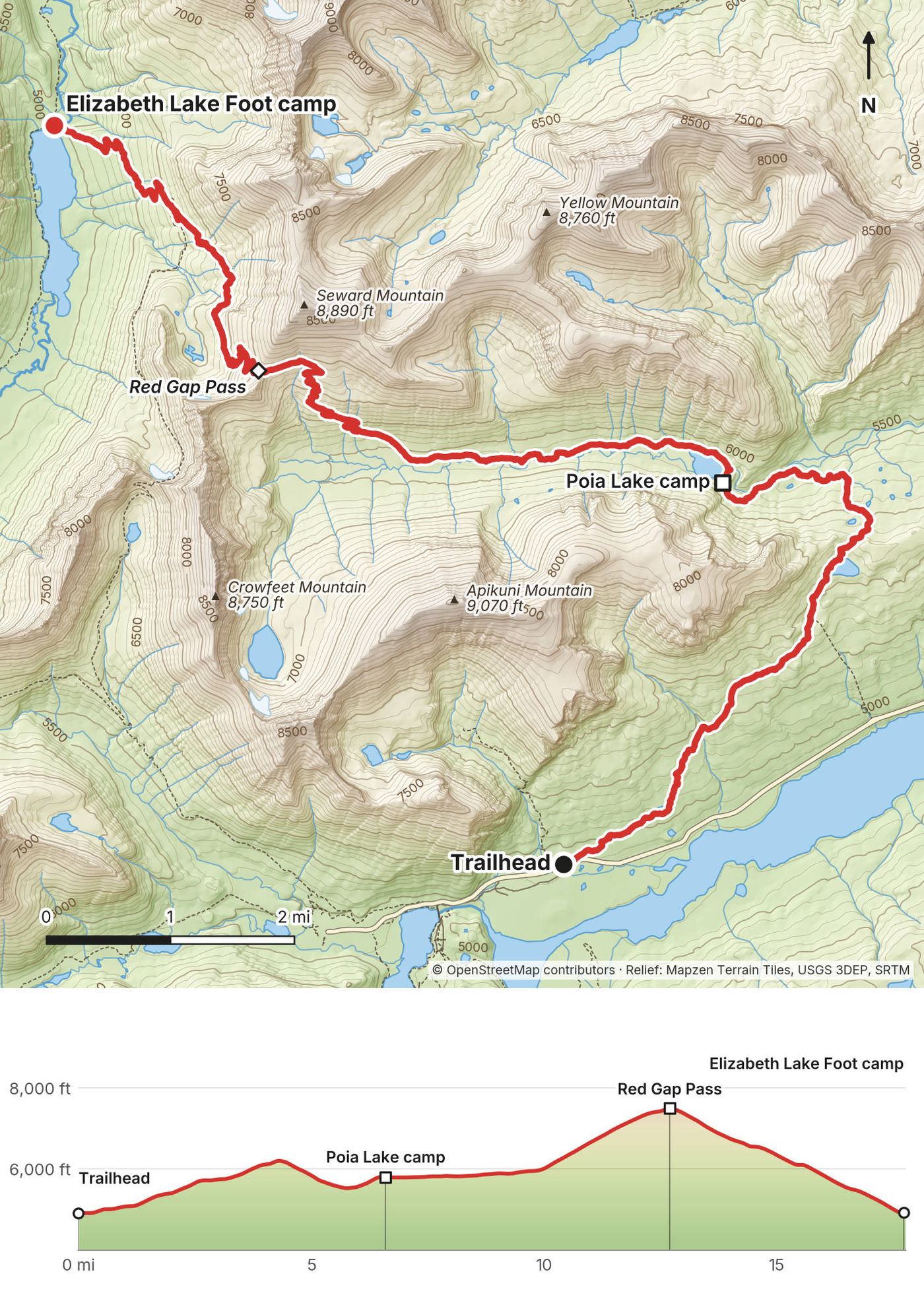
Up to Poia Lake. The trail leaves the Many Glacier Road at the Poia Lake / Red Gap Pass trailhead by Apikuni Flat and climbs through aspen and brush to a low ridge at about 6,100 ft (mile 4), then drops to Poia Lake and its camp at mile 6.6 (5,800 ft on my GPS).
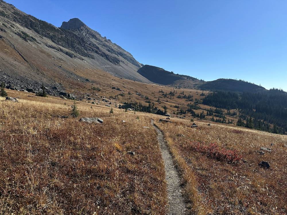
Over Red Gap Pass. From Poia Lake the trail runs up the valley, nearly flat for about 3 miles, then climbs about 1,500 ft in the last 2.5 miles on red rock to Red Gap Pass at mile 12.7, 7,525 ft (2,294 m) on my GPS, the high point of the loop. It's open and exposed to wind, with no shelter.
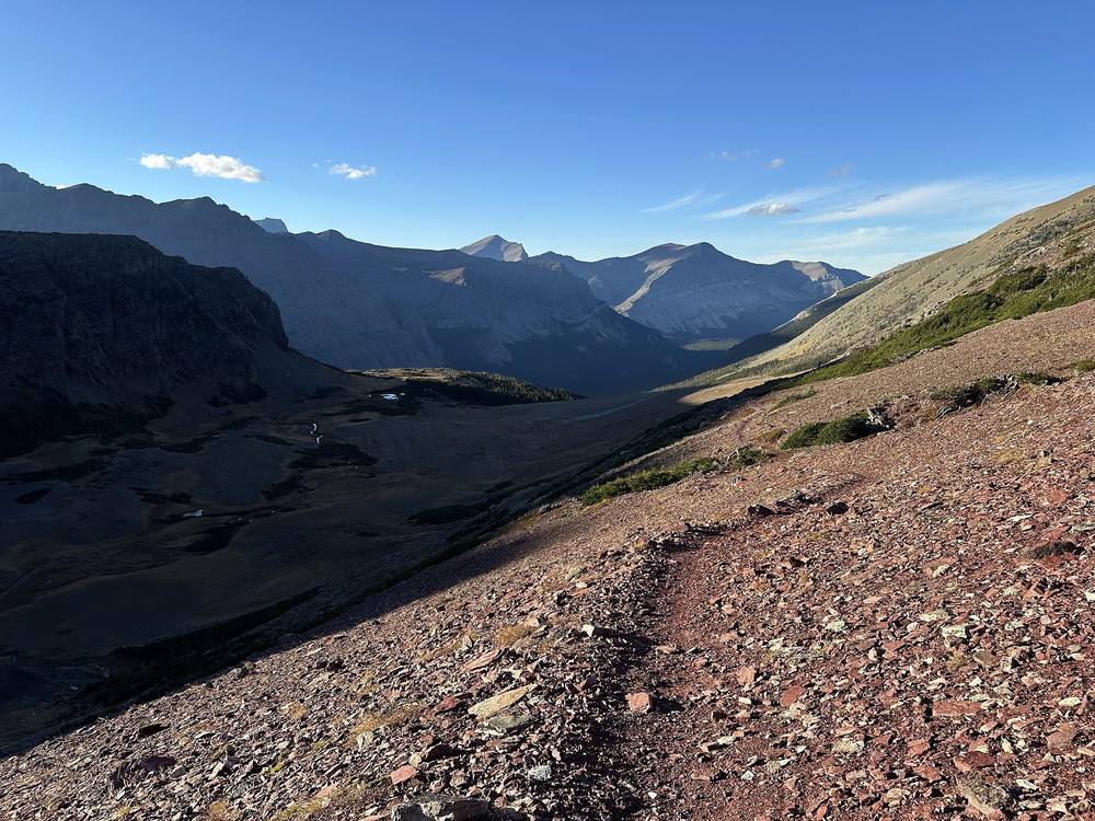
Down to Elizabeth Lake. The north side drops about 2,600 ft in 5 miles, on scree first and then through forest, to the Ptarmigan Trail at about mile 15.3 and down to the foot of Elizabeth Lake. The camp is at the lake's north end, mile 17.7 (4,920 ft). The Elizabeth Lake Suspension Bridge is here in summer; it's taken out by late September.
Before Red Gap Pass, walk back the way you came to the Many Glacier Road. Past the pass, the nearest road is still back over it; the Ptarmigan Trail toward the tunnel only helps when the tunnel is open. Don't start up the pass late in the day in bad weather: it's high, open and a long way from help.
Film, Day 1 · Behind the scenes
Good morning, day two, with coffee. Two hikers had just left camp. It was nice talking to them: they said they hadn't seen any bears and barely saw any people, and they were hiking for five or six days. The night was cold, but I was prepared. I had a really warm sleeping bag, but I did have to put my head inside it in the middle of the night. That's how you know it's cold.
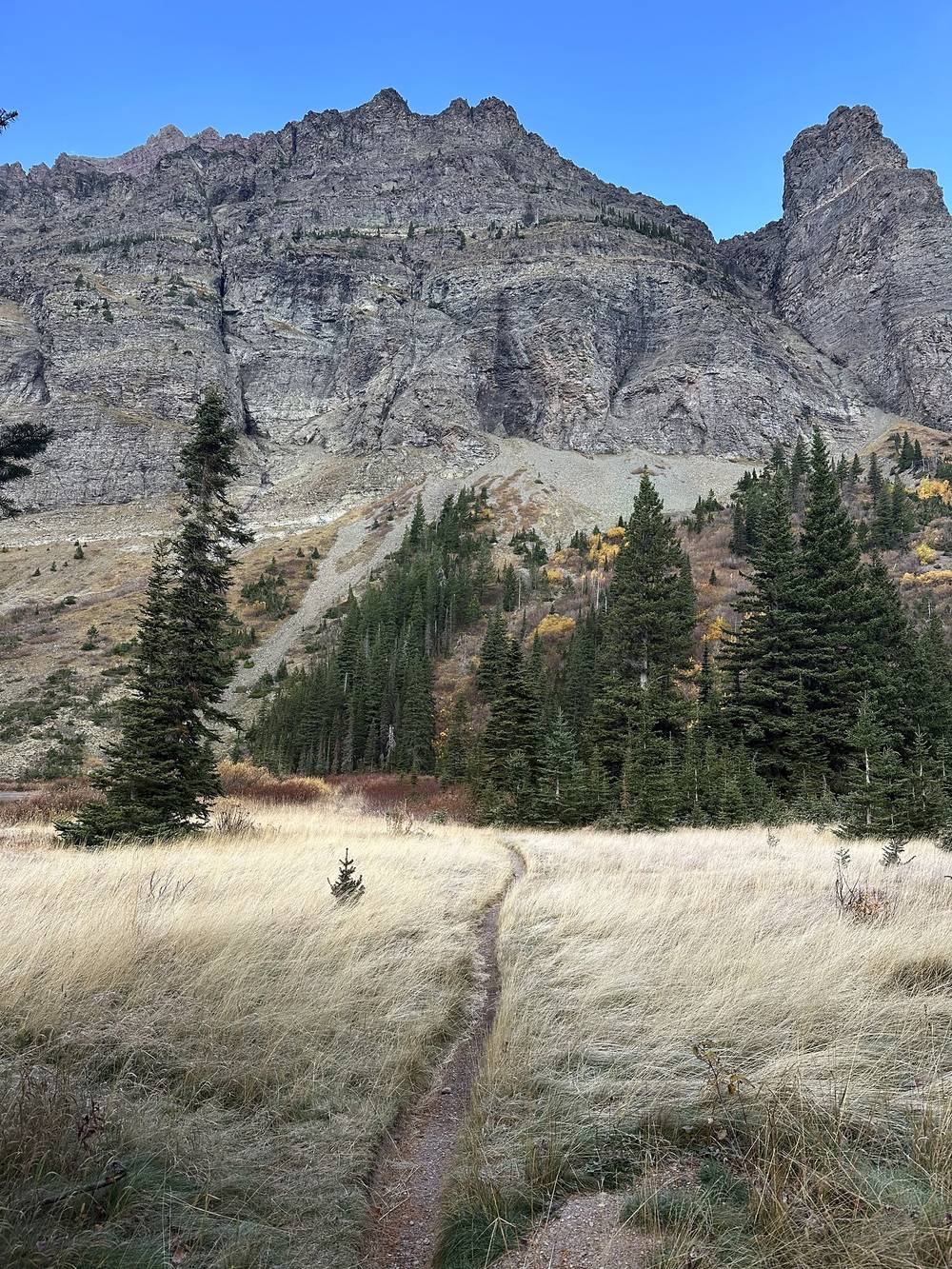
The sky was pretty gray with little patches of blue, and I hoped it would give way to more blue skies like the day before. It wasn't that hard of a day, and with a full day and no noon start I planned to take my time and have a proper lunch. Lovely, flat, lake-to-lake for the first half of the day, so I could catch up on an audiobook. Then the sun started to come out. Nothing better.
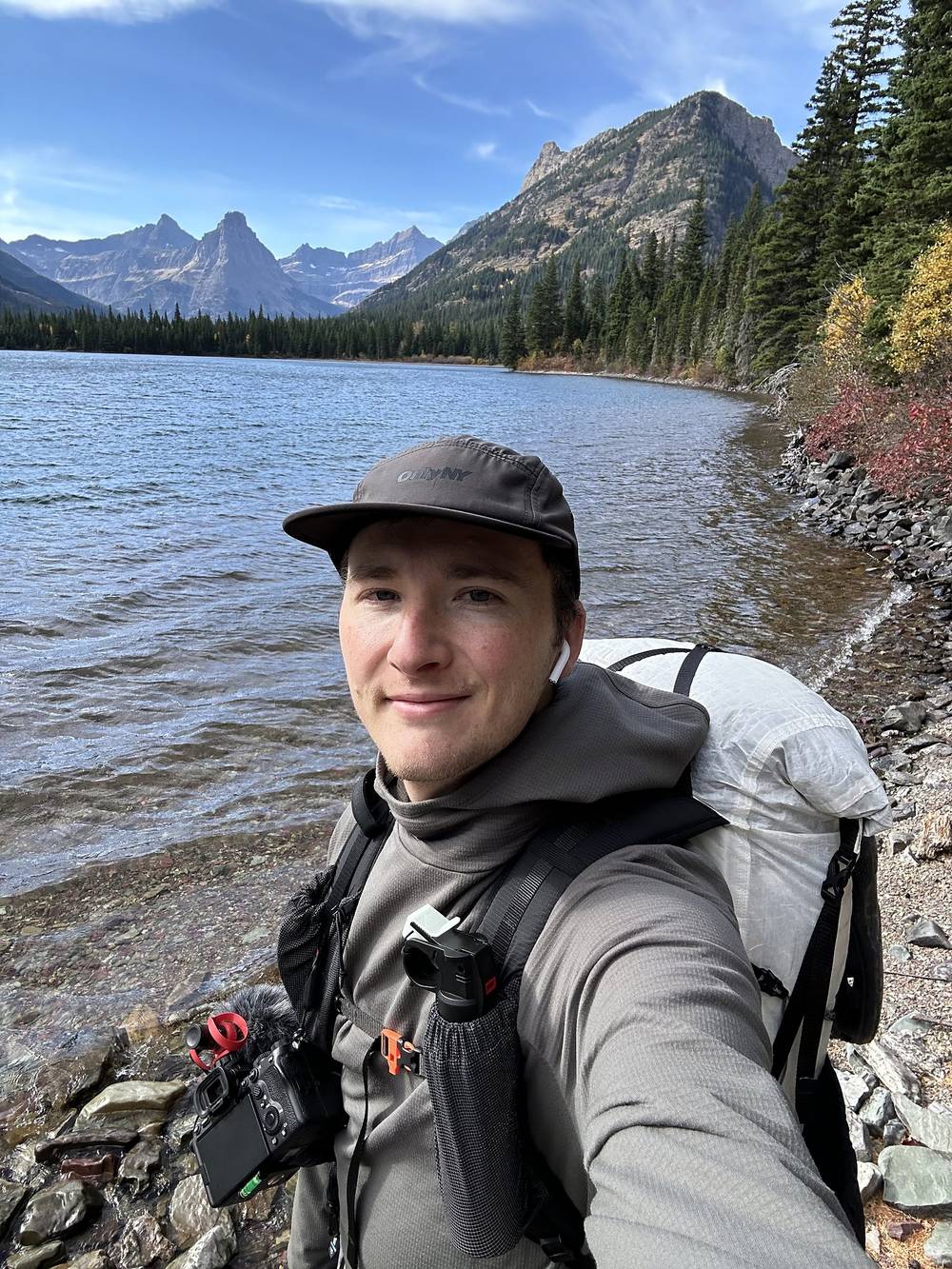
About halfway, about to start the climb up to the pass and then down to the lake where I'd camp, my biggest concern was wind. I'd forgotten my tent stakes, so I couldn't really hunker down my tent, and a really windy night is not fun, cold and not safe.
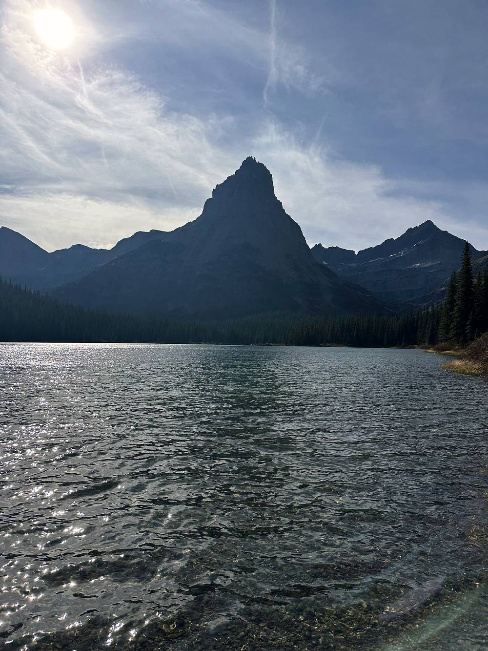
I made it to camp at the end of day two and ate spicy ramen. I didn't see a single person all day. These trails were very quiet: no animals other than birds and squirrels. I was a bit higher up, but the sun was blocked, so camp was all in shade. It was nice with the lake there, and nice being all alone. I started late and ended early, since it's a short distance between the campsites.
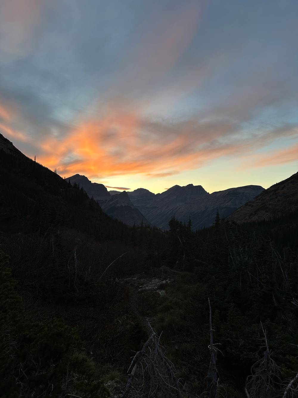
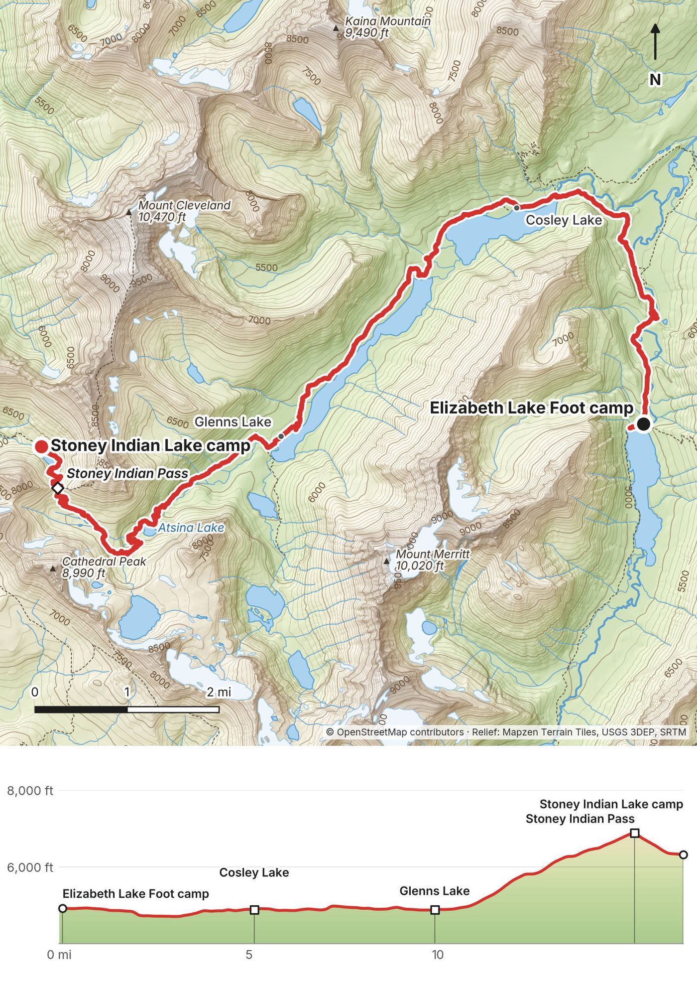
Down to the Belly River. From the Elizabeth Lake Foot camp the Ptarmigan Trail runs north down the valley to the Belly River, the low point of the day at mile 3.0 (4,700 ft), near the Belly River ranger station trail.
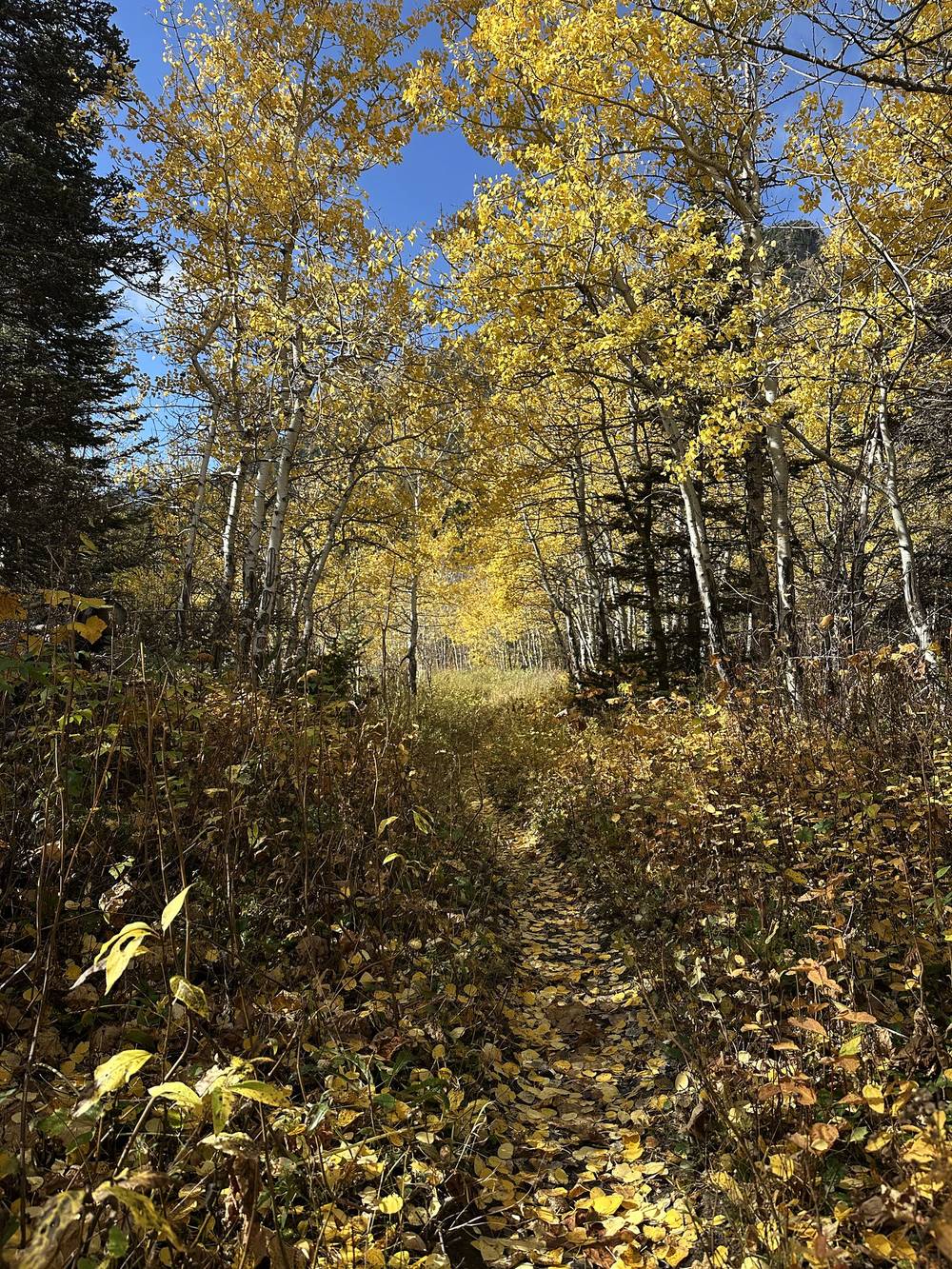
Cosley Lake and Glenns Lake. Below Cosley Lake the trail crosses the Belly River, on the Belly River Suspension Bridge in summer and by fording once it's out (late September). Then it turns west along Cosley Lake (miles 4.6 to 5.8) and then the long north shore of Glenns Lake, through aspens and forest, nearly flat for about 6 miles to the head of Glenns Lake at mile 9.9.
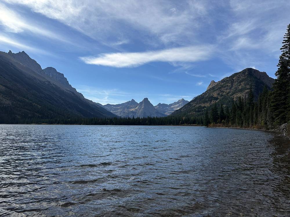
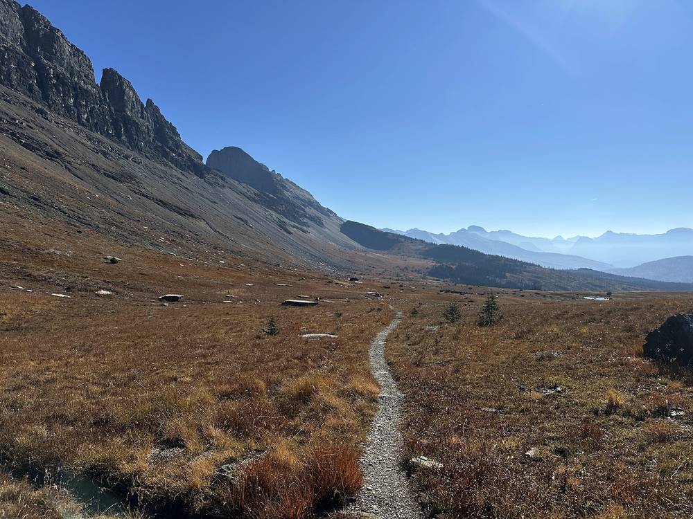
Up to Stoney Indian Pass. Past the head of Glenns Lake the Stoney Indian Pass Trail climbs about 2,000 ft in 5 miles, past Atsina Lake (mile 12.4) and up the switchbacks to Stoney Indian Pass at mile 15.2, 6,906 ft (2,105 m) on my GPS. From the pass you look down on Stoney Indian Lake. The camp is 1.3 miles on, by the lake, at mile 16.5 (6,320 ft).
Before the pass, go back down the valley to the Belly River and out to the north, or back to Elizabeth Lake and over Red Gap Pass. Past Stoney Indian Pass you're committed to Fifty Mountain and the Highline, or the long Waterton Valley Trail north to Goat Haunt. Cross the pass early in the day if wind or snow is coming.
Film, Day 2 · Behind the scenes
The night was very cold, with some frost when I woke up, but no wind, so it worked out fine. A big day: a lot of climbing and over 18 miles to Granite Park, so I woke up a little early and wasn't messing around. Big climb in the shade to start the day.
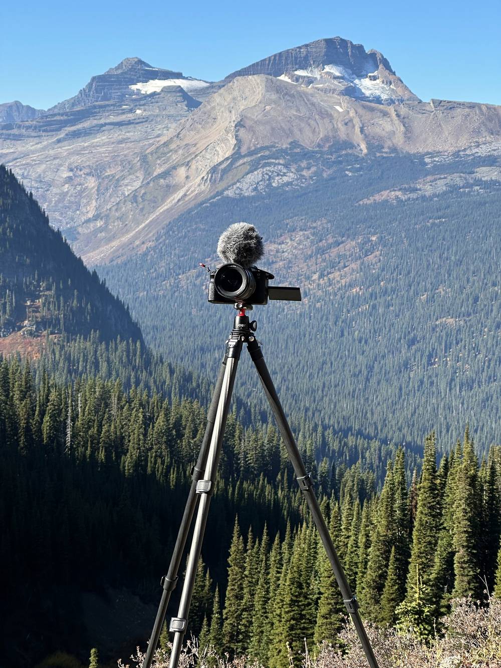
I started filming on the Highline, but honestly I thought it was a bit dry, dead and monotonous that late in the year. I want to revisit Glacier in early summer, with snow caps and green meadows.
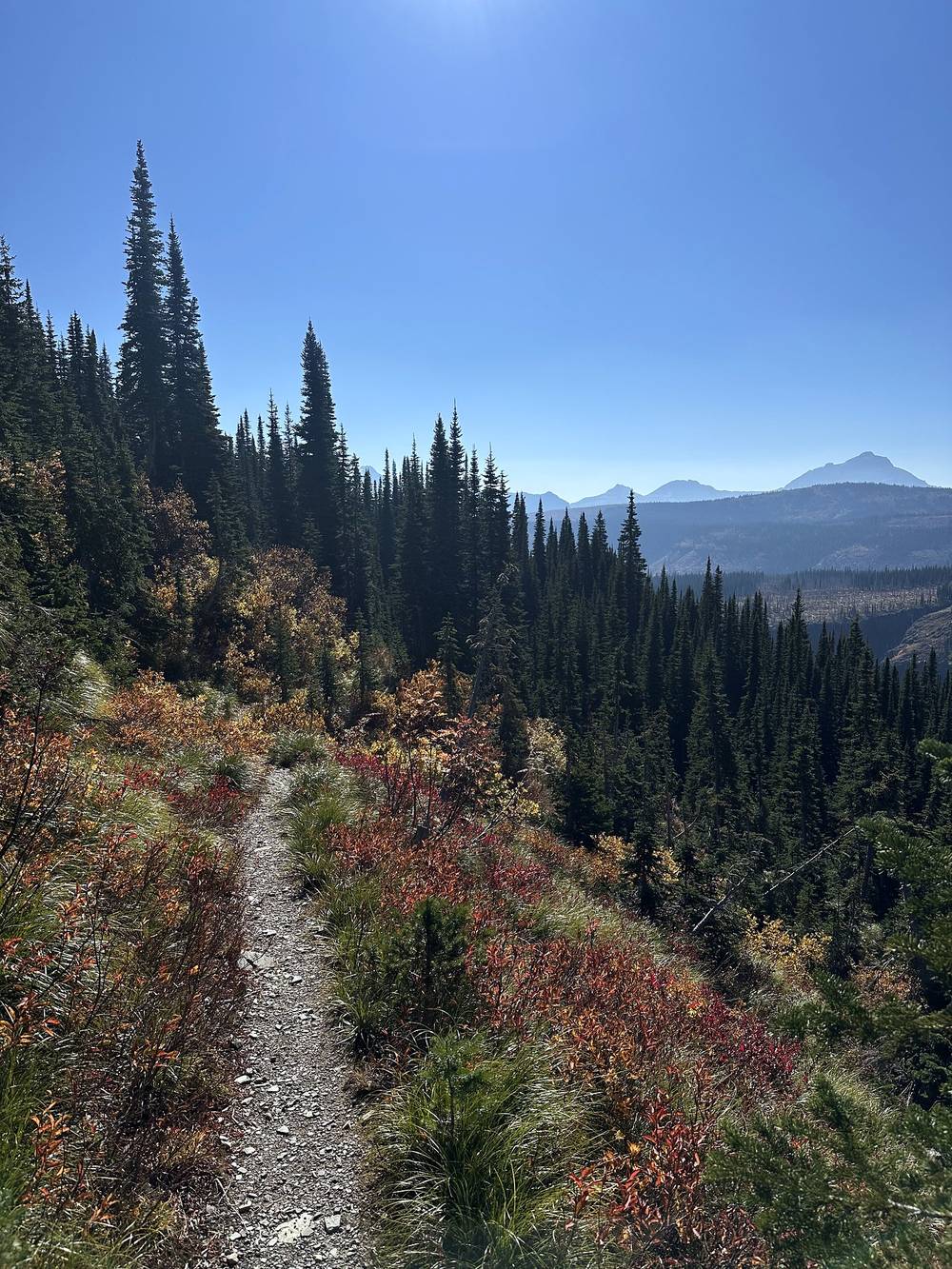
At about 20 miles I made a rash decision: I wasn't going to camp at Granite Park. I'd just passed it. I was going to continue all the way down to my car, because I thought I could do it. It was about 8 more miles and I had about an hour and a half of daylight, so I booked it, filmed less and went fast. I added 10 miles and ended in the dark, but I just didn't want to be out there anymore. Sometimes when I feel I have enough for a video and I'm lonely, I just want off the trail.
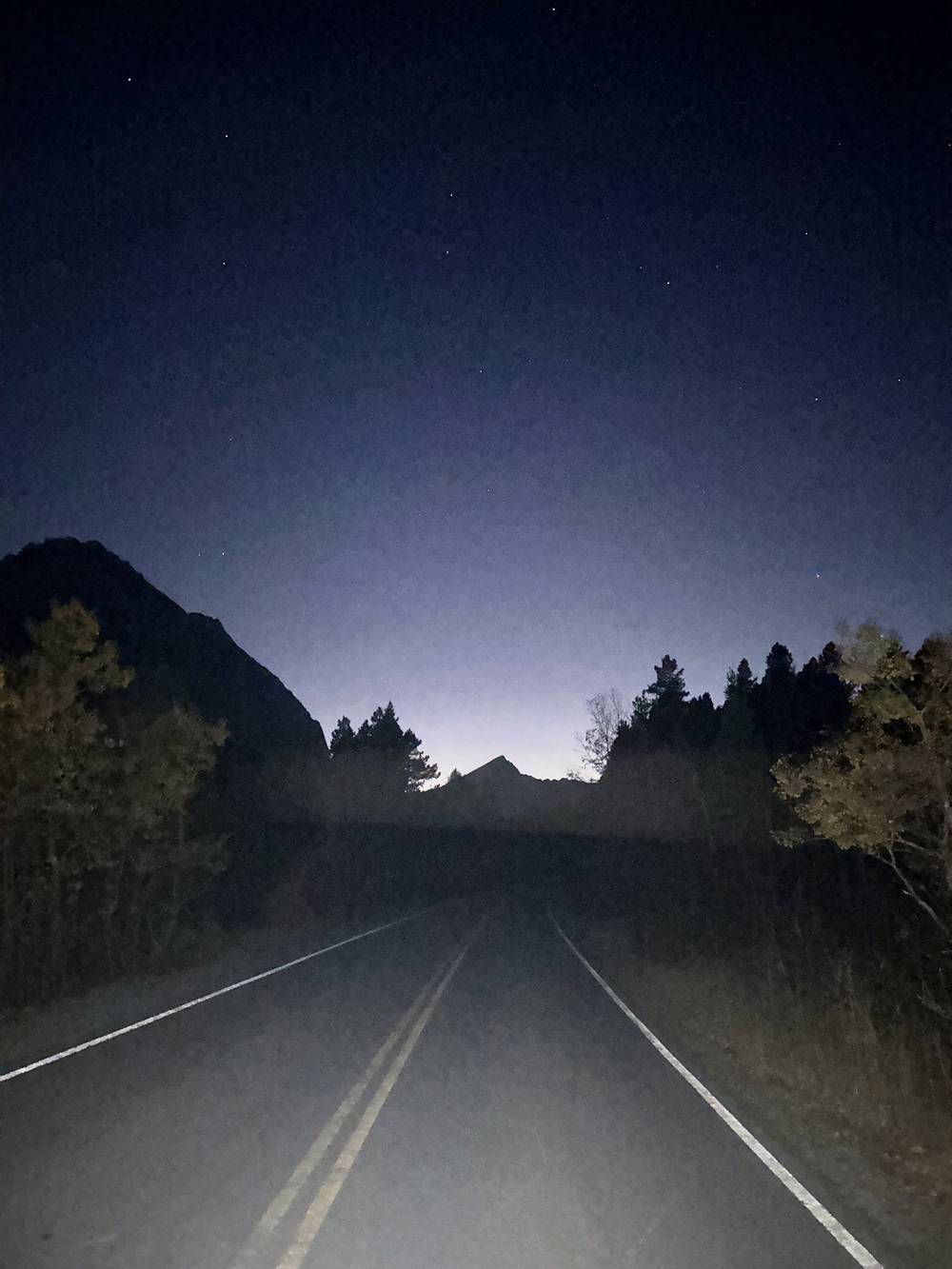
I made it to the road with maybe a mile and a half left. I felt much safer on the road, and it's much easier to walk in the dark. The moon was out, so I didn't even need a flashlight. I was tired, hungry, and my foot hurt. Super tired after this big day.
Down to the Waterton Valley. From the Stoney Indian Lake camp the trail drops about 1,800 ft in 3 miles to the Waterton Valley Trail, the low point of the day (4,476 ft, mile 3.0).
Up to Fifty Mountain. Then the long climb south on the Waterton Valley Trail: about 2,200 ft in 5.7 miles through forest and open meadows to Fifty Mountain camp at mile 8.7 (6,690 ft). This is where the Highline starts south.
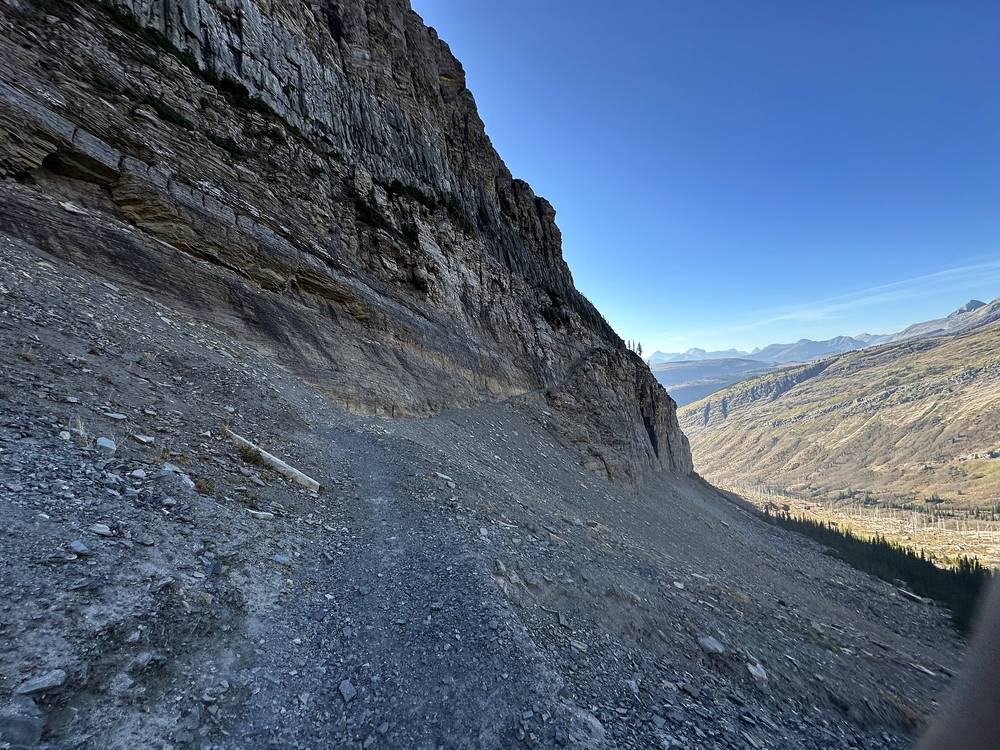
The Highline to Granite Park. The trail climbs to its high point just past Fifty Mountain, 7,461 ft at mile 9.8, drops to about 5,950 ft around mile 13, and then runs along the slopes below the Continental Divide, mostly between 6,500 and 7,000 ft, to Granite Park at mile 20.4 (6,670 ft). Much of it is open and exposed, with long stretches cut into steep slopes and some burned forest. Fill up with water before the high stretches.
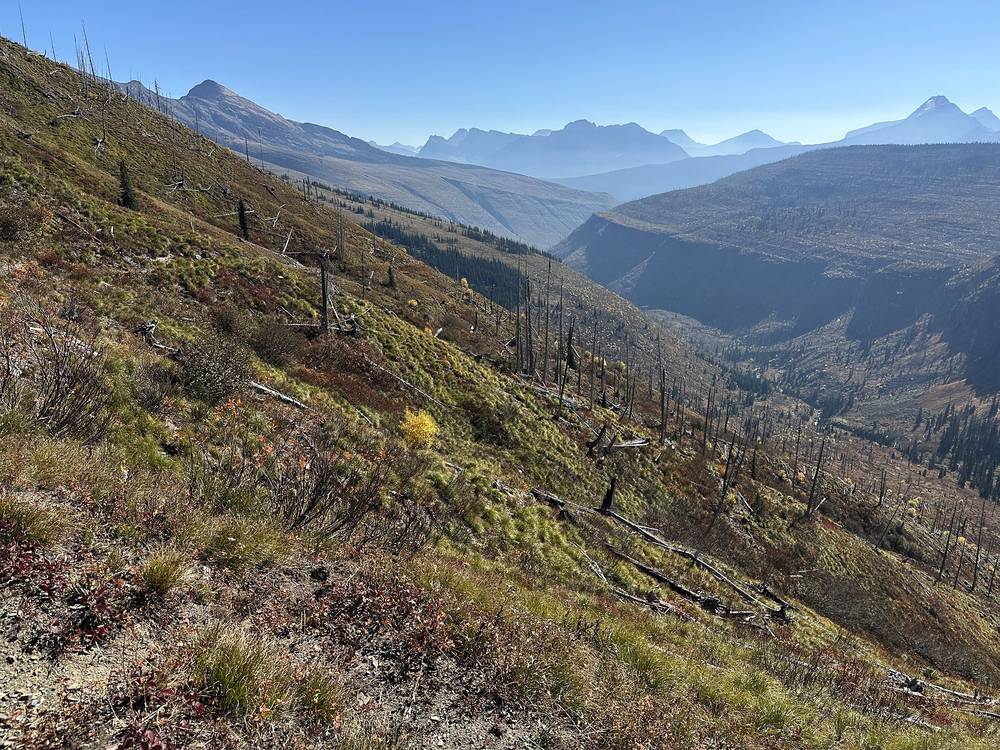
Over Swiftcurrent Pass. From Granite Park the trail climbs about 500 ft to Swiftcurrent Pass at mile 21.6 (7,200 ft on my GPS), then drops steeply on switchbacks below cliffs, about 2,000 ft in 3.5 miles, into the Swiftcurrent valley. Lower down, the trail crosses Swiftcurrent Creek on the Windmaker Suspension Bridge in summer; it's taken out by late September.
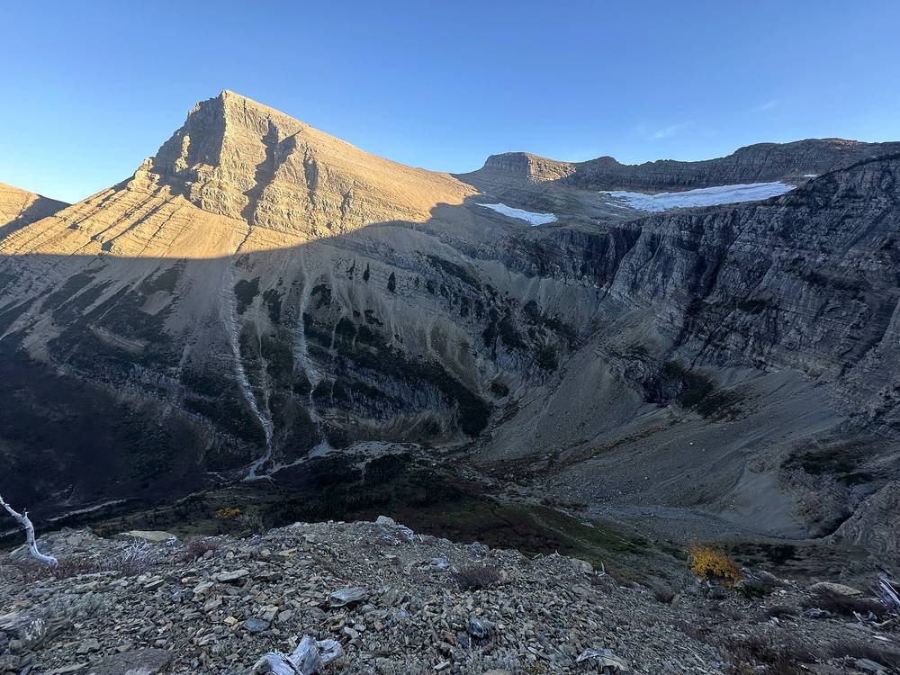
Down to Many Glacier. The valley trail passes Bullhead Lake (mile 24.9), Redrock Lake and Redrock Falls (miles 26.6 to 26.9) and Fishercap Lake to the Swiftcurrent area at Many Glacier, where the road starts (mile 28.5). From there I walked the Many Glacier Road east past Swiftcurrent Lake, about 2.2 miles, to the trailhead where I'd parked.
From Fifty Mountain the Waterton Valley Trail goes north to Goat Haunt at the head of Upper Waterton Lake, a long way from any road on the US side. On the Highline, Granite Park is the main way out: south to the Going-to-the-Sun Road at Logan Pass or The Loop, or over Swiftcurrent Pass to Many Glacier, as I did. Once Going-to-the-Sun Road closes for the winter (usually around the third Monday of October), Logan Pass and The Loop are on a closed road, so in late October Swiftcurrent Pass is the way out. Don't plan on walking out in the dark the way I did unless you have a headlamp and the energy for it.
Film, Day 3 · Behind the scenes
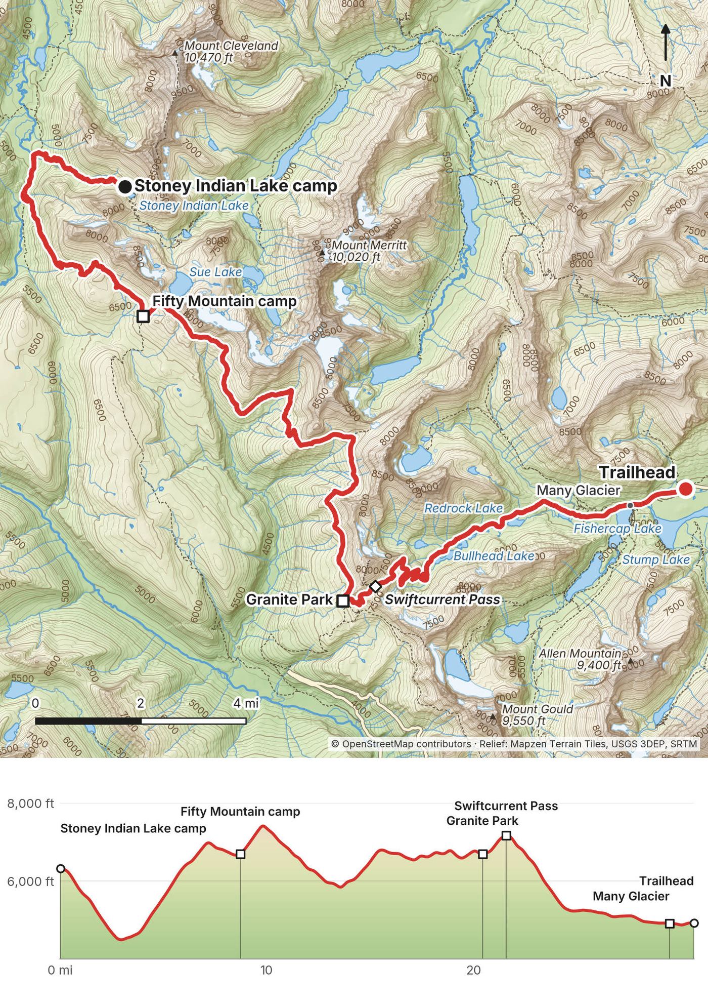
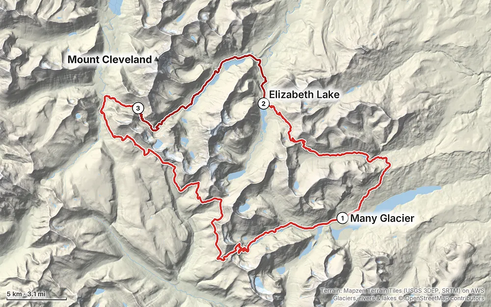
Elevation4,485–7,510 ft64.9 mi
Terrain: Mapzen Terrain Tiles (USGS 3DEP, SRTM) on AWS · Glaciers, rivers & lakes © OpenStreetMap contributors
Tap a map to open it full size.
All of this was checked on the park's own pages, Recreation.gov and the park's 2026 Superintendent's Compendium on October 1, 2026, except where it says otherwise.
Wilderness permit. Required for every night, at designated wilderness campgrounds only. In 2026: $10 per permit plus $7 per person per night, May 1 to October 31; card only. Winter permits (November 1 to April 30) are free and requested by email at least 7 days ahead. Every permit holder has to watch the park's wilderness safety video.
Advance reservations (June 15 to September 30). On Recreation.gov. In 2026 there were two early-access lotteries (groups of 1 to 8 applied March 15, with a $10 application fee) and a general first-come sale from May 1. About 70% of sites can be reserved; you pick up the permit in person by 4:30 p.m. the day before or the day you start. Online itineraries can't have more than 16 miles between camps. Nothing for 2027 had been announced on October 1, 2026; the same pattern is likely.
Walk-up permits. About 30% of sites are kept for walk-ups, in person only, the day before or the day you start, and no permits after 4:30 p.m. anywhere. From October 1 to 31 every permit is walk-up. On the 2026 schedule:
| Permit office | 2026 dates |
|---|---|
| Apgar Wilderness Permit Center (west side) | May 1 to October 31; in October 8 a.m. to 4 p.m., last permit 3:30 p.m. |
| St. Mary Visitor Center (east side) | May 22 to October 4 |
| Many Glacier Ranger Station | May 25 to September 27 |
My permit. I got my walk-up permit the morning I started, October 10, 2024, through the Apgar Wilderness Permit Center: one person, three nights, $31. My camps were Elizabeth Lake Foot, Stoney Indian Lake and Granite Park.
Camps on this loop. Elizabeth Lake Foot (5 sites), Stoney Indian Lake (3) and Granite Park (4) are one-night-per-trip camps from June to September, and in those months Granite Park has to be part of a trip of two nights or more. Poia Lake, Cosley Lake, Glenns Lake Foot and Head, Mokowanis Junction and Fifty Mountain allow up to three nights. Each site takes up to four people, and a group can be at most 12. Whether the one-night limits apply in October isn't stated: ask when you get your permit.
Food storage. From March 16 to November 30, at designated camps, all food, garbage and scented items go on the camp's food pole or in a certified bear-resistant container (the 2026 Compendium). My permit said the same and that durable bags and at least 25 ft of rope or paracord are needed and aren't provided. No campfires at any camp on this loop; a camp stove is allowed.
Wildlife distance. Stay at least 100 yards from bears and wolves and 25 yards from all other wildlife, moose included.
Park entrance. In 2026: $35 per vehicle for 7 days, or $70 for a Glacier annual pass. Since January 1, 2026, non-US residents 16 and older also pay a $100 nonresident fee unless they have an annual or America the Beautiful pass ($250 for non-residents). No vehicle reservations were needed anywhere in the park in 2026; nothing was announced for 2027 by October 1, 2026.
The Ptarmigan Tunnel. Its doors usually open in mid-July and close by late September (the park's trail status page). When it's closed, Red Gap Pass is the way from the Many Glacier Road to Elizabeth Lake.
Seasonal bridges. The park puts in its seasonal suspension and plank bridges from late May to mid-July and takes most of them out by late September. Three are on this loop: the Elizabeth Lake Suspension Bridge (end of Day 1), the Belly River Suspension Bridge below Cosley Lake (Day 2) and the Windmaker Suspension Bridge below Swiftcurrent Pass (Day 3). In 2026 all three came out on September 28 and 29. In October expect to wade all three, and don't cross swift water.
The season. The high camps open for reservations only once they're usually free of snow: Stoney Indian Lake and Fifty Mountain from August 1, Granite Park from July 15 (the park's 2024 wilderness campground map). Seasonal bridges go in from late May to mid-July and come out by late September. So the classic window for this loop is roughly August to mid-September, with the Ptarmigan Tunnel open.
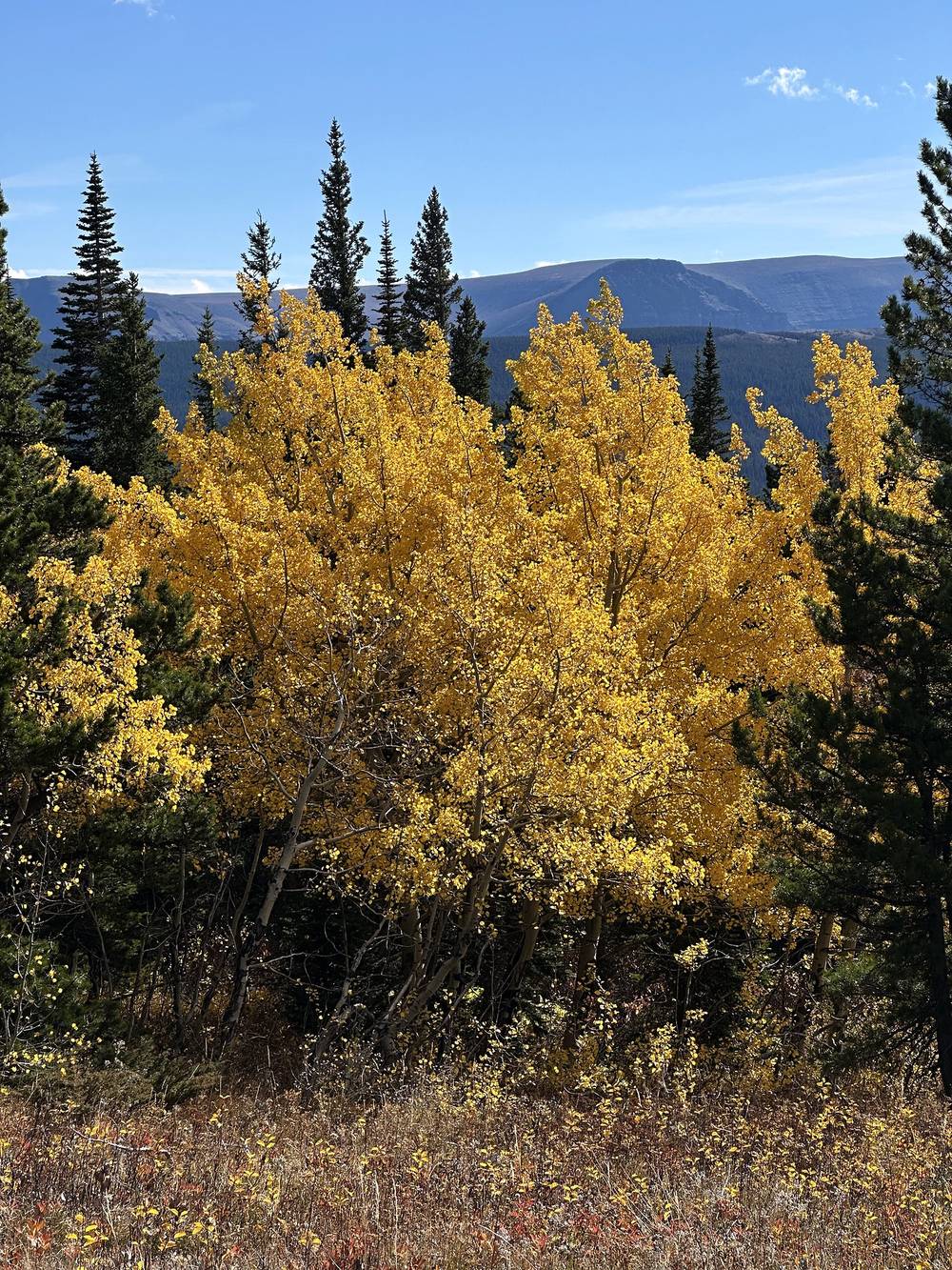
October, my month. It was October 10th and definitely deep into shoulder season. I'd say within a week there was probably going to be snow up high. In return the fall colors were great, and the park was nearly empty. Expect:
What I'd do next time. In my Strava notes after the Highline: I want to revisit Glacier in early summer, with snow caps and green meadows. In the film I said it would be nice to do Glacier in July, with the melting snowpack up high and the new green grass below, maybe with a group.
Emergencies. Call 911 if you have a signal. Most of the park has little or no cell service, and none on most of this loop. Carry a satellite messenger. The park's main line is 406-888-7800. Leave your route, camps and the day you'll be out with someone at home.
Bears. Glacier has grizzlies and black bears. In autumn bears forage for up to 20 hours a day, and camps can close at any time for bear activity. The park says groups are far safer, and that bells aren't enough: call out and clap at regular intervals, especially near streams, in brush and on blind corners. Carry bear spray where you can reach it, stay 100 yards from bears, and never leave food or scented items in your tent. In May 2026 a solo hiker was killed by a grizzly in the park after dark, the first fatal bear attack there since 1998 (news reports). Parts of the Highline were closed for bears in September 2024 and August 2026, and on October 1, 2026 the park listed the whole Highline from Fifty Mountain to Granite Park as closed for bear activity.
Moose. I saw two on Day 1. Give them 25 yards or more.
Hiking in the dark. I finished Day 3 after dark, on the road, by moonlight. Don't build your plan around that. Plan your days to reach camp before dusk, and carry a headlamp.
Cold and snow. In October nights drop to freezing and snow can fall on the passes. Red Gap Pass, Stoney Indian Pass, the Highline and Swiftcurrent Pass are high, open and exposed. Turn around if snow covers the trail on the steep sides of a pass.
Fords. With the seasonal bridges out, cold, swift water and bad footing are the risk. The park says to reconsider wading swift streams. Cross where it's wide and shallow, unbuckle your pack, and wait or turn back when it's high.
Water. Boil water for at least a minute or use a filter (the park warns about Giardia).
Do I need a permit? Yes, for every night in the backcountry, and only at the park's designated wilderness campgrounds. In 2026 it cost $10 per permit plus $7 per person per night, from May 1 to October 31. See Permits and rules.
Can I book it ahead? Only for trips from June 15 to September 30, on Recreation.gov, through early-access lotteries in March and a general sale from May 1 (the 2026 dates). Online bookings allow at most 16 miles a day between camps; longer days have to be arranged in person. In October, permits are walk-up only, in person, the day before or the day of your start.
Why Red Gap Pass and not the tunnel? The classic loop goes through the Ptarmigan Tunnel from Many Glacier to Elizabeth Lake. The park says its doors usually open in mid-July and close by late September. On October 10, 2024 it had closed a couple of days before, so the ranger and I planned my route over Red Gap Pass instead.
Is it open? Check the park's trail status first. On October 1, 2026 the Highline from Fifty Mountain to Granite Park was listed as closed for bear activity, and the park listed the Waterton Valley and Mokowanis Lake trails in winter status. Bear closures on the Highline happen most falls and can last days or weeks.
How many days do I need? I did it in three days of 17.8, 16.5 and 30.7 miles, and the last one ended after dark. My permit was for four days and three nights. Four to six days is a better plan for most people.
Is it safe to go alone? The park advises against hiking alone in grizzly country: groups make far fewer bad bear encounters, and no attack on a group of four or more has been reported in Glacier. I went alone, in the busy bear season before winter, so it was a bit more dangerous than usual. If you go alone, carry bear spray where you can reach it, call out often, and don't hike at dusk. I didn't see a bear; I saw two moose. See Weather and safety.
Is there water? Yes: Poia Lake, Elizabeth, Cosley and Glenns lakes, the Belly River, Stoney Indian Lake and many streams. The high stretches are drier. Boil or filter all of it.
Will I see other people? In October, very few. I saw two other hikers in three days.
When the tunnel is open (usually mid-July to late September), most people start at Many Glacier, go through the Ptarmigan Tunnel to Elizabeth Lake, and then follow my route from Day 2: the Belly River, Cosley and Glenns lakes, Stoney Indian Pass, Fifty Mountain, the Highline to Granite Park and Swiftcurrent Pass back to Many Glacier. Trip reports give about 53 to 65 miles depending on side trips (not an official figure). Starting and ending at Swiftcurrent also skips my road walk.
My permit had four days and three nights: Elizabeth Lake Foot, Stoney Indian Lake and Granite Park. In summer, online bookings allow at most 16 miles between camps, so plan more nights: for example Elizabeth Lake Foot (through the tunnel, or Poia Lake and then Elizabeth Lake Foot over Red Gap Pass), then Glenns Lake or Mokowanis Junction, then Stoney Indian Lake and Fifty Mountain (or Fifty Mountain alone), then Granite Park. Stoney Indian Lake to Granite Park is about 20 miles on my GPS, so an online plan needs Fifty Mountain in between. Check each camp's night limits and opening date when you book.
Three long days, walk-up permit, Red Gap Pass instead of the tunnel, and fords instead of bridges. My last day was 30.7 miles and ended after dark.
These change every year. Everything else in this guide stays the same.
Permits and rules
Conditions
Getting there
Your stuff
The film is at the top of this page.
Planning questions about Glacier National Park, answered only from this page's facts, the creators' versions and hikers' public tracks, with where each answer comes from. When the data doesn't say, the answer says "not given".
From hikers
Sign in to comment. Free; your hikes stay private unless you share them.
Something wrong or missing on this page? Send feedback.