
Content made there
The film is at the top of this page.
Photos
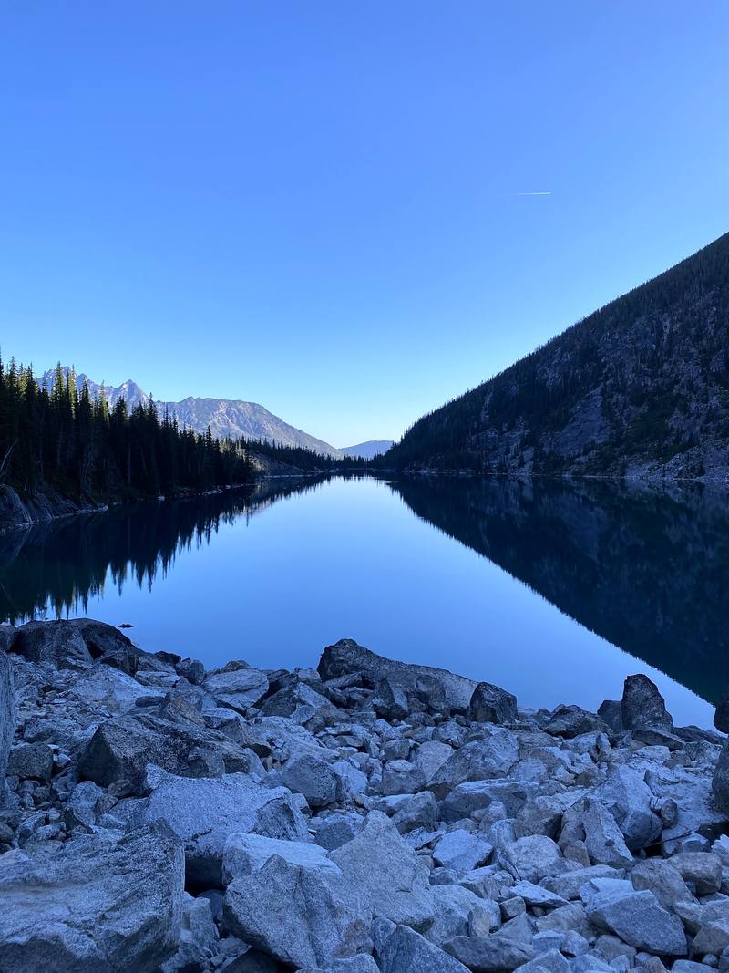
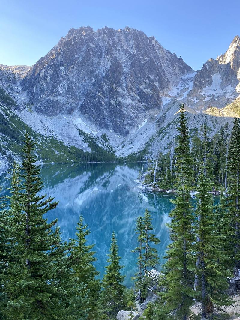
Hikes / The Enchantments / Kraig Adams's version
North America · United States
Aug 4, 2020 · 1 day · about 21 miles · Solo

On August 4, 2020, I hiked the Enchantments in Washington in one day, alone: 21 miles from the Stuart Lake Trailhead, up to Colchuck Lake, over Aasgard Pass, through the high granite basin of lakes they call the Core, and down past the Snow Lakes and Nada Lake to the Snow Lakes Trailhead outside Leavenworth. It took me about 11 hours.
This was different for me. I usually do multi-day hikes, camping and sleeping in a tent. This was the first video where it was just a day hike. The Enchantments are beautiful, and it's really hard to get a backpacking permit, so I couldn't sleep up in the mountains. But if you can do 21 miles with that kind of climbing, you fill out a free self-issued permit at the trailhead and you go.
| Quick facts | |
|---|---|
| Distance | 21.4 miles (34.4 km) by my GPS, one way |
| Climbing | about 4,630 ft (1,410 m) up and 6,740 ft (2,050 m) down |
| Days | 1, as a day hike. Overnight trips need a permit from the lottery |
| Start | Stuart Lake Trailhead, 3,430 ft (1,045 m) |
| Finish | Snow Lakes Trailhead, 1,300 ft (395 m), 4.3 miles from Leavenworth |
| High point | Aasgard Pass, about 7,840 ft (2,390 m) |
| Time I took | About 11 hours, 6:17 a.m. to 5:20 p.m. |
| Permits | Day hike: free, self-issued at the trailhead. Overnight: May 15 to October 31, by lottery |
| Getting between trailheads | A shuttle van, a second car, or a ride |
| Nearest town | Leavenworth, about 2.5 hours from Seattle by car |
| Trip date | Tuesday, August 4, 2020, solo |
| Place | mi (km) | Height | I got there |
|---|---|---|---|
| Stuart Lake Trailhead | 0 | 3,430 ft (1,045 m) | 6:17 a.m. |
| Colchuck Lake | 4.2 (6.8) | 5,600 ft (1,708 m) | 7:58 a.m. |
| Top of Aasgard Pass | 6.8 (11.0) | 7,840 ft (2,390 m) | 10:10 a.m. |
| Inspiration Lake | 8.8 (14.2) | 7,210 ft (2,197 m) | 11:30 a.m. |
| Lake Viviane | 10.7 (17.2) | 6,810 ft (2,075 m) | 12:33 p.m. |
| Snow Lakes | 13.2 (21.2) | 5,470 ft (1,668 m) | 2:03 p.m. |
| Nada Lake | 15.5 (24.9) | 4,920 ft (1,500 m) | 3:07 p.m. |
| Snow Lakes Trailhead | 21.4 (34.4) | 1,300 ft (395 m) | 5:20 p.m. |
The numbers come from my own GPS recording, smoothed the same way as in all my guides. I said "21 miles and 5,000 feet of climbing" in the film; my recording app's totals were 21.4 miles and 5,000 ft (1,523 m). The Washington Trails Association lists the through-hike as 18.0 miles with 4,500 ft of gain, measured from the trailhead to the trailhead on the standard line.
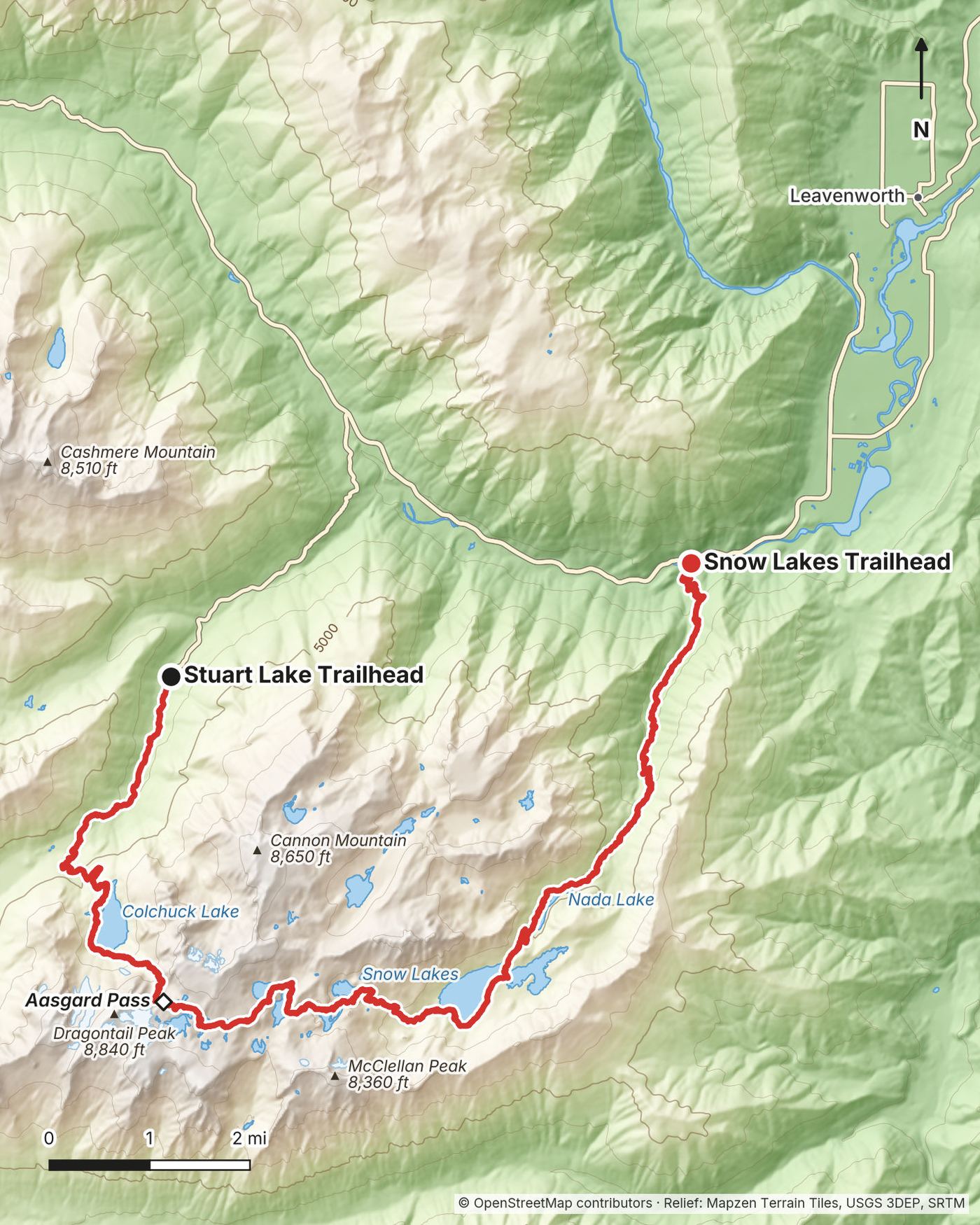
I was in Leavenworth the day before, prepping for the hike, with a rental car. On the morning of August 4, I left my car at the Snow Lakes Trailhead, and a shuttle van took me about half an hour up to the Stuart Lake Trailhead. The driver was actually super chill; we chatted the entire way up. My record doesn't show what I paid. At the end I walked down to my car and drove back to town.
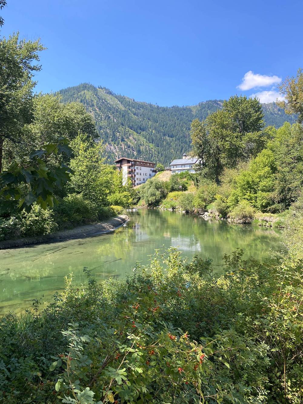
To Leavenworth. Leavenworth is about 117 miles (188 km) from Seattle on US 2 over Stevens Pass, about 2.5 hours with traffic. Amtrak's Empire Builder stops there once a day each way.
The two trailheads.
The shuttle (2026). Both run early in the morning from the Snow Lakes Trailhead up to the Stuart Lake Trailhead, so your car waits where you finish (with two cars you don't need one):
A warm layer and a rain shell, a headlamp, sun protection, a first-aid kit, more food than you think, and shoes with good grip on granite. Microspikes if there's snow on Aasgard, and the skills to use them.
Paid links: I earn a commission if you buy through these links, at no extra cost to you. As an Amazon Associate I earn from qualifying purchases.
This was a day hike in 2020, so I didn't need to bring that much. Here's what I carried, what I'd take now, and what I filmed with.
From my film.
 Water: Katadyn BeFree AC · 1L (Amazon). My 1-liter filter bottle. Lakes and streams all along the route, so I refilled it.
For a day hike here, from my current kit.
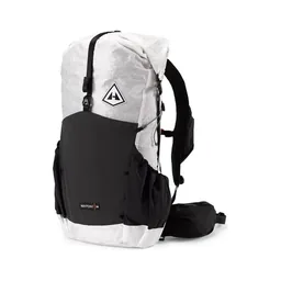 Day pack: Hyperlite Mountain Gear Waypoint 35 (Hyperlite)
 Warm layer: PATH Projects Lomond Hoodie (PATH Projects)
 Rain shell: Arc’teryx Beta AR Jacket (Arc’teryx)
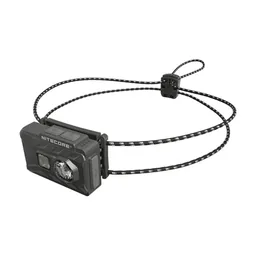 Headlamp: Nitecore NU20 Classic (Amazon). It's a long day.
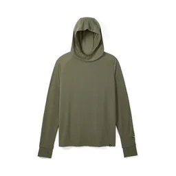 Sun hoodie: PATH Projects Pyrenees T19 Hoodie (PATH Projects). Sun protection on the open granite.
 Sunglasses: Goodr OG Sunglasses (Amazon)
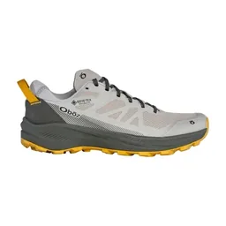 Shoes: Oboz Katabatic LT Low GTX (Amazon). You want good grip on granite. I wore them on Alta Via 1: lightweight and stable, and no blisters.
 Microspikes: Yatta Life Ice Spikes (Amazon). If there's snow on Aasgard, and the skills to use them.
 Poles: Black Diamond Alpine Carbon Z Poles (Amazon). For Aasgard Pass and the long way down.
What I filmed this trip with in 2020. My setup is much smaller now (below). No drones here: it's wilderness (see Permits: day hike or overnight).
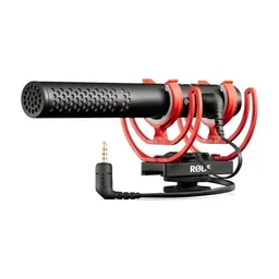 Mic: Rode VideoMic NTG (Amazon)
Since September 2026 I film with a smaller setup: the Pocket 4 and the Mic 3 on the trail.
 Camera: DJI Osmo Pocket 4 (Amazon)
 Mic: DJI Mic 3 · 1 TX + 1 RX (Amazon). It pairs with the Pocket 4.
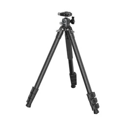 Tripod: SmallRig Carbon Fiber Tripod (Amazon)
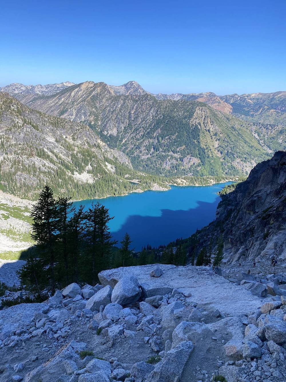
I started my hike early in the morning, at 6:17, and went up to Colchuck Lake. It was still in shade when I arrived, so it wasn't the best to shoot.
Then you make your way up over Aasgard Pass. It's very steep, a lot of elevation gain, some loose rocks, but very fun. You will sweat. I topped out at 10:10. Once you reach the top you are treated to an amazing couple of miles of rolling alpine hills and turquoise lakes.
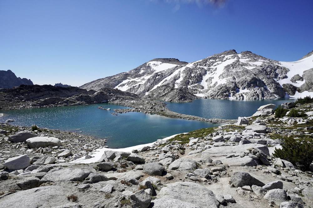
There were a lot of people on this hike: day hikers like myself, trail runners, and people backpacking. I saw a couple of tents set up along the way. Pretty magical up there, with lots of people. To the couple of subscribers who said hi on the trail: it meant the world to me.
On the way down I came across a giant water valve with water just blasting out. Someone told me it had something to do with salmon. If you stood facing the sun there was a rainbow. It was very jarring to come across that kind of water pressure on the side of the mountain. (It's the water release from Upper Snow Lake. The Bureau of Reclamation blasted a 2,500-ft tunnel through the granite, and the valve at its end, near Nada Lake, is open from July to October. The water goes to Icicle Creek and the Leavenworth National Fish Hatchery, which raises spring Chinook and coho salmon.)
After 10 hours of hiking I was pretty tired, but I think it was doable for a day hike. I made it down to the parking lot at 5:20, got in my car and drove back to town.
My times and heights are from my GPS.
Stuart Lake Trailhead to Colchuck Lake: 4.2 miles, 6:17 to 7:58. The Stuart Lake Trail through forest, then, about 2.5 miles in, the Colchuck Lake Trail at the junction (the Stuart Lake Trail goes on to Stuart Lake). It climbs to the lake at 5,600 ft (1,708 m). There are backcountry toilets along the way and at the lake.
Colchuck Lake to the top of Aasgard Pass: 2.6 miles, 7:58 to 10:10. Around the west shore of the lake on boulders and slabs to its south end, then straight up the gully. From the south end of the lake at 5,640 ft (1,719 m) to the top at about 7,840 ft (2,390 m) is about 2,200 ft (670 m) of climbing in 1.3 miles, and it took me 82 minutes. It's a steep, rocky climb with loose rock and scree; the Washington Trails Association calls it a hands-and-feet scramble. Snow can lie in the gully all summer.
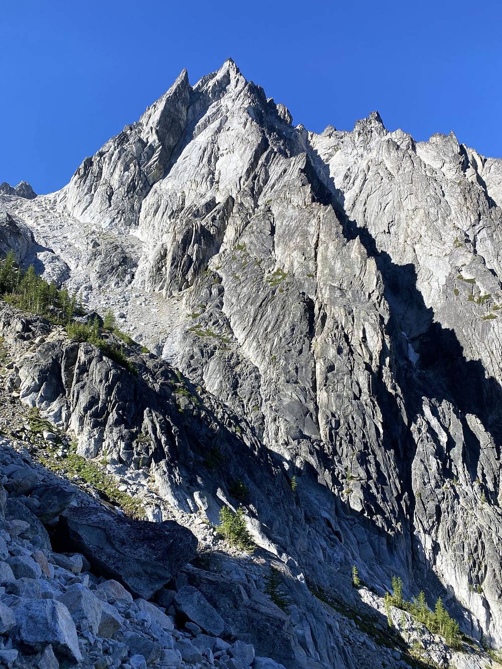
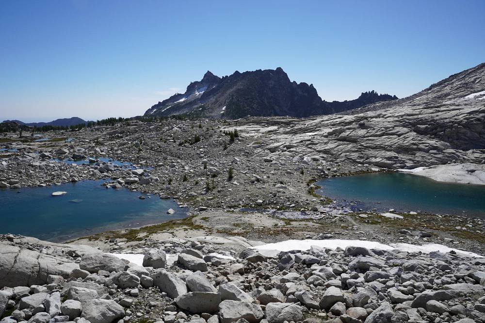
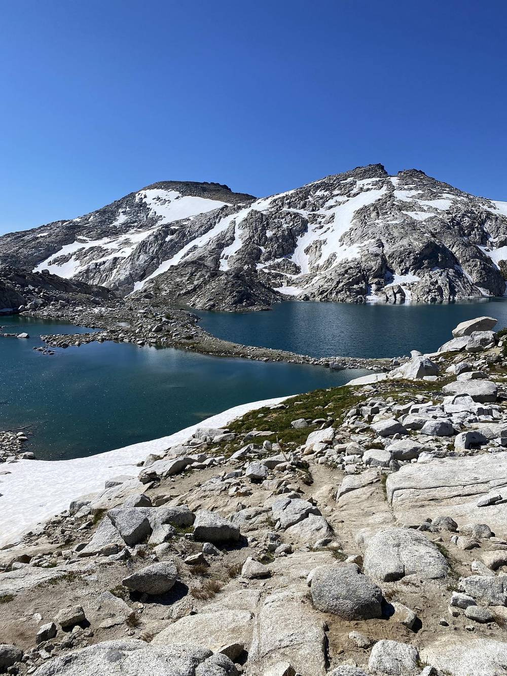
The Core: top of Aasgard to Lake Viviane, 3.9 miles, 10:10 to 12:33. The high basin: Isolation Lake and Tranquil Lake just past the top, then the little lakes of the upper basin, down to Inspiration Lake (7,210 ft, 2,197 m) at 11:30, Perfection Lake, Sprite Lake, Leprechaun Lake and Lake Viviane. Rolling granite and snow patches. My only long stop of the day was 14 minutes, a little past Tranquil Lake. Mountain goats live up here (see Weather and safety).
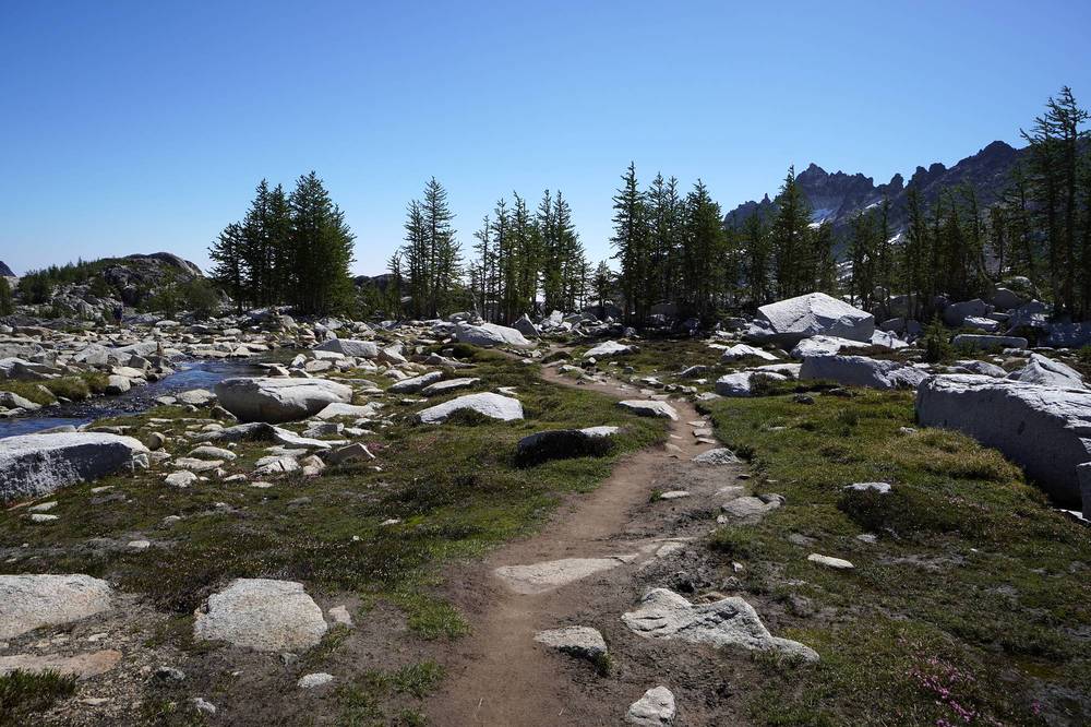
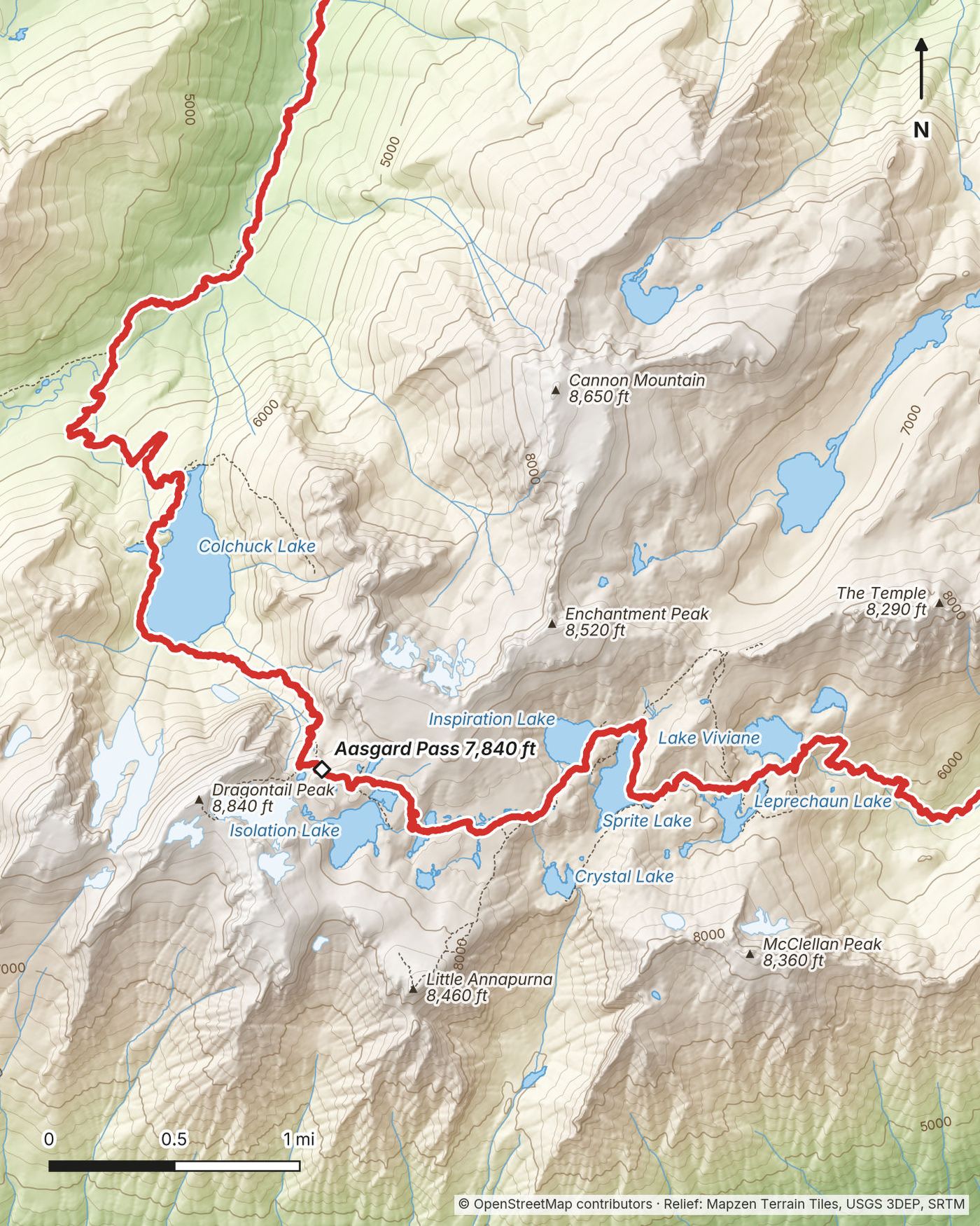
Lake Viviane to the Snow Lakes: 2.5 miles, 12:33 to 2:03. Down from the Core past Lake Viviane's outlet on steep granite slabs, with scramble sections, to the Snow Lakes at 5,470 ft (1,668 m). It took me an hour and a half for 1,340 ft (410 m) of descent.
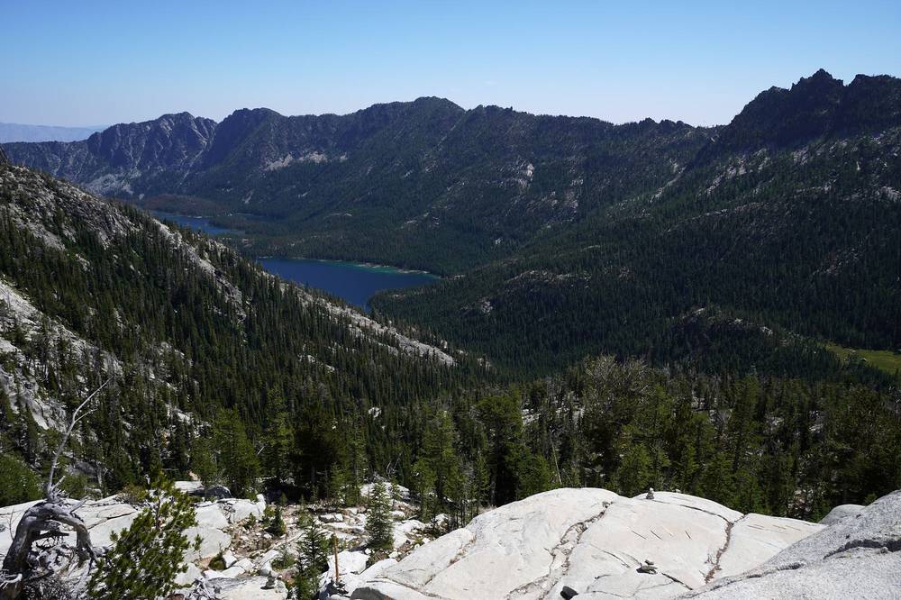
Snow Lakes to Nada Lake: 2.3 miles, 2:03 to 3:07. Along the Snow Lakes and past the water release, down to Nada Lake at 4,920 ft (1,500 m).
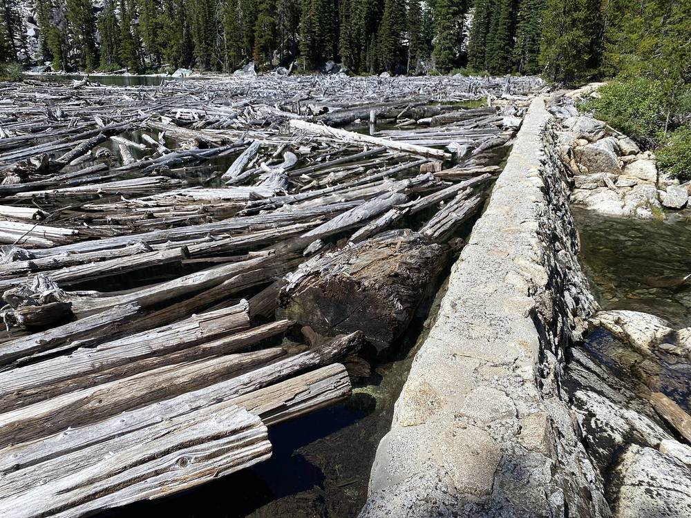
Nada Lake to the Snow Lakes Trailhead: 5.9 miles, 3:07 to 5:20. The long way down: 3,620 ft (1,105 m) of descent on a rocky trail, switchbacks through forest and open slopes down to Icicle Creek and the trailhead at 1,300 ft (395 m).
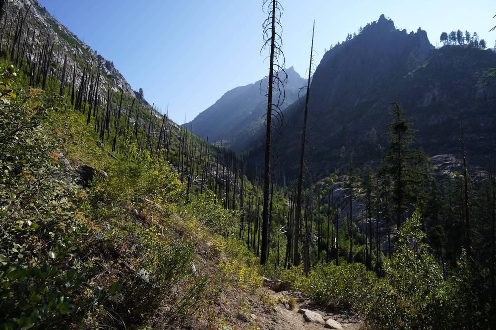
Before Aasgard Pass, turn around: Colchuck Lake is 4.2 miles back down to the Stuart Lake Trailhead. Once you're over the pass, there's no easy way out. From the top, going back down Aasgard is shorter (6.8 miles to the Stuart Lake Trailhead, against 14.6 miles on to the Snow Lakes Trailhead), but it means descending steep, loose rock, which the Forest Service doesn't advise for anyone not prepared and equipped for steep snow travel. The two ways even out at Lake Viviane (10.7 miles each); past it, going on is shorter. Weather, snow or an injury in the Core is why you start early and carry enough layers and light for a slow finish.
The hike · Leavenworth · Behind the scenes
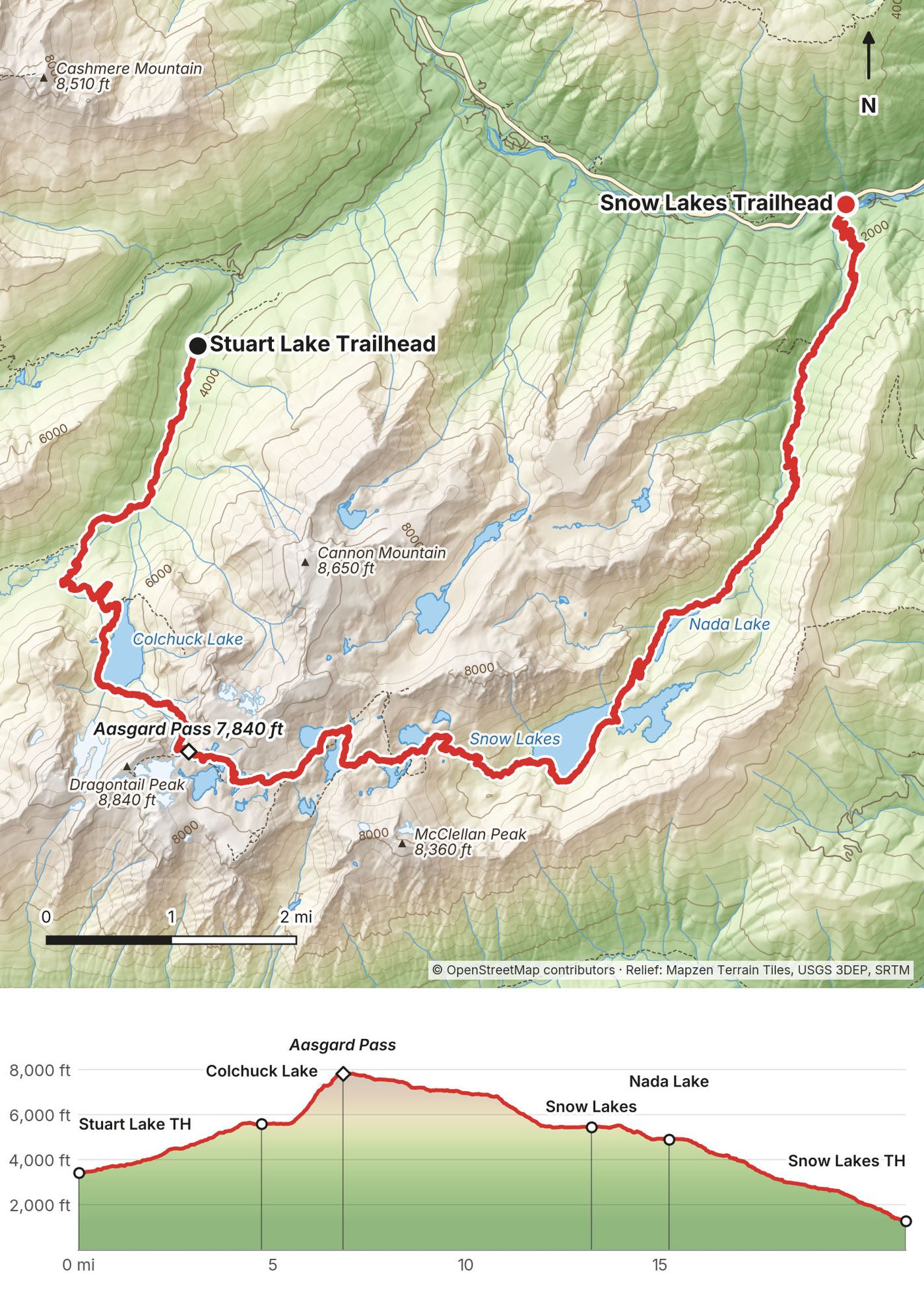
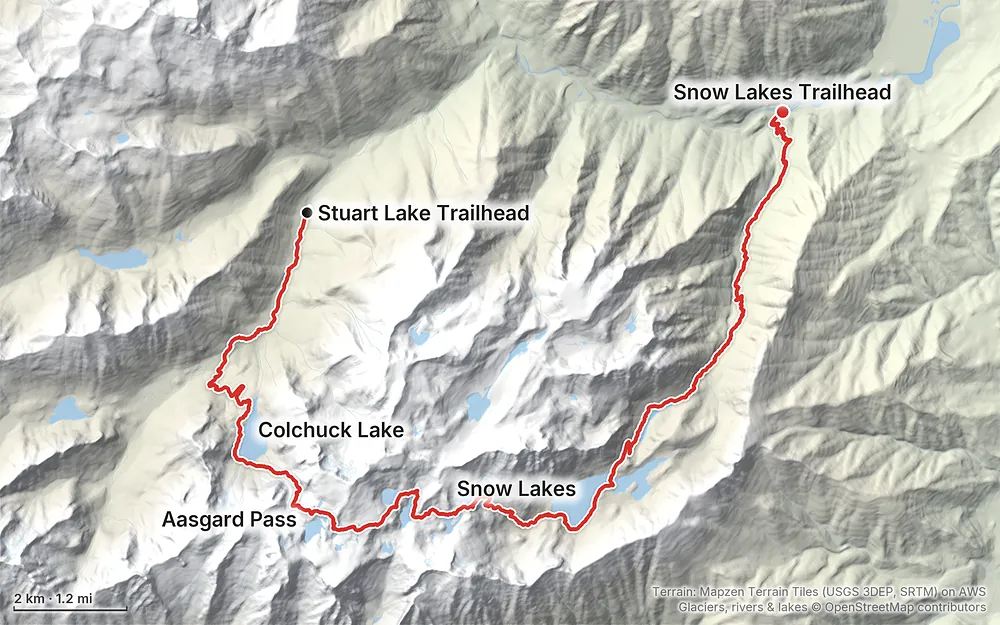
Terrain: Mapzen Terrain Tiles (USGS 3DEP, SRTM) on AWS · Glaciers, rivers & lakes © OpenStreetMap contributors
Tap a map to open it full size.
All of this is from the Forest Service and Recreation.gov, checked October 1, 2026.
Overnight permits are needed from May 15 to October 31 anywhere in the Enchantment Permit Area. It's split into five zones: Core, Colchuck, Stuart, Eightmile/Caroline and Snow. A Core permit lets you camp in any zone; the others are for that zone only.
I didn't try for an overnight permit. The day hike is the one I can tell you about.
The season. Overnight permits run May 15 to October 31, and the Forest Service opens Eightmile Road, the road to the Stuart Lake Trailhead, by May 15 each year. Aasgard Pass "typically melts out by late June", the Forest Service says, but snow often stays there all year. The road to the Stuart Lake Trailhead is closed in winter.
What I got. I went on August 4. It was sunny, and there was still snow in the Core, around the lakes and on the slopes above them. Colchuck Lake was still in shade when I got there just before 8 a.m., so it wasn't the best to shoot.
Daylight. An early start matters. I started at 6:17 a.m. and finished at 5:20 p.m. In autumn the days are much shorter.
Emergencies. Call 911.
Aasgard Pass. The Forest Service: Aasgard Pass "is not advised for hikers not prepared and equipped for steep snow travel." It typically melts out by late June, but snow often stays all year. Loose rock is the other danger: don't climb right below other people, and don't knock rocks down on anyone below you.
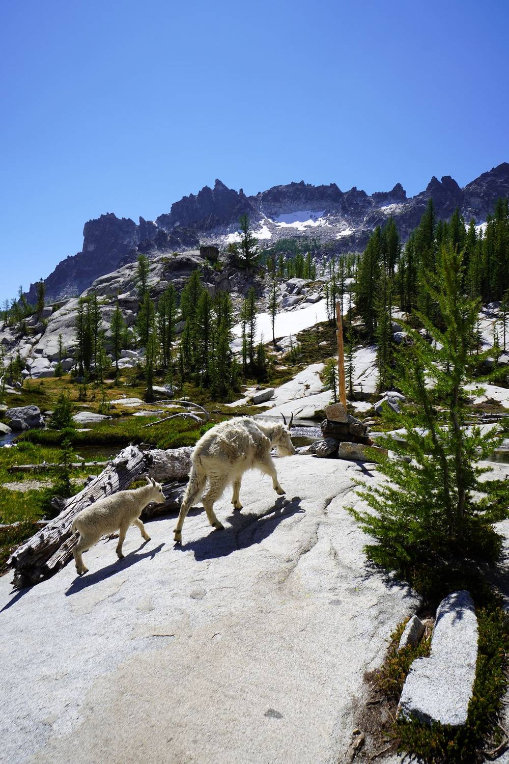
Mountain goats. They want the salt in urine. The Forest Service asks you not to urinate on vegetation or soil, because it draws goats in and makes them aggressive. Give them the trail and keep your distance.
Toilets and waste. There are toilets in the permit area. Otherwise dig a cat hole 6 to 8 inches deep, at least 200 ft from water, and pack out your toilet paper.
Route finding. In the Core and on the way down to the Snow Lakes the tread is faint in places, and the Washington Trails Association says to look for cairns. Keep the GPX file and your location on your phone.
The long descent. More than 6,000 ft down in the second half of the day is hard on knees and feet. Trekking poles help.
Weather. Check the National Weather Service forecast for the Enchantments before you go, and turn back at Colchuck Lake if storms or snow are coming. There's no shelter in the Core.
Fire season. Late summer brings fires and smoke to this part of Washington. Check the Okanogan-Wenatchee National Forest alerts page before you go for closures and fire restrictions.
Can you do the Enchantments in one day? Yes. Overnight permits are hard to get: the Forest Service says typically fewer than 10% of advanced lottery applicants win one. I did it as a day hike with a free day-use permit I filled out at the trailhead. It's long: 21 miles, about 11 hours for me, with a very steep climb in the middle and more than 6,000 ft of descent at the end. After 10 hours of hiking I was pretty tired, but I think it was doable for a day hike.
How hard is it? Hard. Aasgard Pass climbs about 2,200 ft (670 m) in 1.3 miles on loose rock and boulders; it took me 82 minutes. It's very steep, a lot of elevation gain, some loose rocks, but very fun. You will sweat. The way down to the Snow Lakes has steep granite slabs, and the last 5.9 miles from Nada Lake drop 3,620 ft (1,105 m). Try this at home first: 15 miles with 4,000 ft of climbing and a steep descent, and still feel fine the next day.
Which direction? I went from Stuart Lake to Snow Lakes, up Aasgard and down the long way. That's the usual direction: the Washington Trails Association says it saves 2,600 ft of climbing over the reverse. The Forest Service doesn't advise Aasgard Pass for anyone not prepared and equipped for steep snow travel, and says it's especially hazardous with snow on it.
Do I need a permit? For a day hike, a free day-use permit you fill out yourself at the trailhead, plus a parking pass. To camp anywhere in the Enchantment Permit Area between May 15 and October 31, you need an overnight permit from the lottery. See Permits: day hike or overnight.
How do I get between the trailheads? It's a point to point, not a loop. I was by myself with a rental car, so I needed help: I scheduled a shuttle van to pick me up at the Snow Lakes Trailhead and drive me about half an hour up to the Stuart Lake Trailhead. At the end of the day I walked down to my car. Two companies run this shuttle in 2026; see Getting there.
Can I bring my dog? No. Dogs and all pets are prohibited in the Enchantment Permit Area, except service animals, for day hikes too.
Will it be crowded? It was for me, on a Tuesday in August. There were a lot of people on this hike: day hikers like me, trail runners, and people backpacking. I saw a couple of tents set up along the way.
Is there water? Yes, lakes and streams all along the route. I carried one 1-liter BeFree filter bottle and refilled it. Filter or treat what you drink. There's no drinking water at either trailhead.
Phone signal? My record doesn't show whether I had any. Plan as if you won't, and carry a way to call for help if you can.
Where do I stay? I stayed in Leavenworth the night after the hike. See After the hike: Leavenworth.
I only did the day hike. These are the other common ways, stated from the Forest Service's rules, not from my own trip.
Camp in the Core. With a Core Zone permit from the lottery you can spread the same route over two or more days, and camp in any zone. Group size 8, no fires, no dogs.
Camp in another zone. Colchuck, Stuart, Snow and Eightmile/Caroline permits are for camping in that zone only. From a Colchuck or Snow zone camp you can day hike into the Core.
The reverse direction. Snow Lakes to Stuart Lake means about 2,600 ft more climbing (Washington Trails Association) and a descent of Aasgard Pass, which the Forest Service doesn't advise without snow gear and skills.
Just Colchuck Lake. An out and back from the Stuart Lake Trailhead: 4.2 miles each way by my GPS, about 2,200 ft (670 m) of climbing. Still needs the day-use permit and a parking pass.
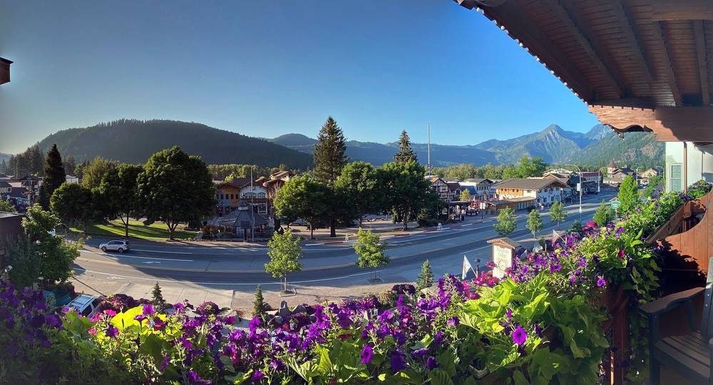
Leavenworth is a Bavarian-themed town. Why not. It's actually a lovely town, and there's lots to do.
I stayed at a hotel in the middle of town the night after the hike. To be clear about it: I wrote to the hotel from Leavenworth the day before my hike and asked if they'd host me in exchange for featuring the stay in the film, and they gave me a free room for that night. I had a balcony facing out over the town, it's central, and everyone there was super friendly. I emailed them that evening: "Hike done and all checked into the hotel room. The place is great." Because the room was free, this guide doesn't recommend a hotel; there are plenty of places to stay in town.
These change every year. Everything else in this guide stays the same.
Permits
Getting there
Trail and weather
The film is at the top of this page.
When bookings open, from the sources named under each. Dates move: confirm on the official site.
The advanced lottery takes applications February 15 through March 1; results around March 15; leftovers go back on recreation.gov on April 1. Day hikes need only a free self-issued permit.
Next: Feb 15, 2027 to Mar 1, 2027
Book on recreation.gov.
Source: Kraig Adams's Enchantments guide: Permits (from the Forest Service and recreation.gov, Oct 1, 2026). Checked October 2026.
Planning questions about The Enchantments, answered only from this page's facts, the creators' versions and hikers' public tracks, with where each answer comes from. When the data doesn't say, the answer says "not given".
From hikers
Sign in to comment. Free; your hikes stay private unless you share them.
Something wrong or missing on this page? Send feedback.