
Content made there
The film is at the top of this page.
Photos
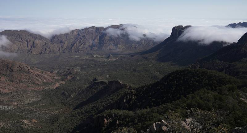
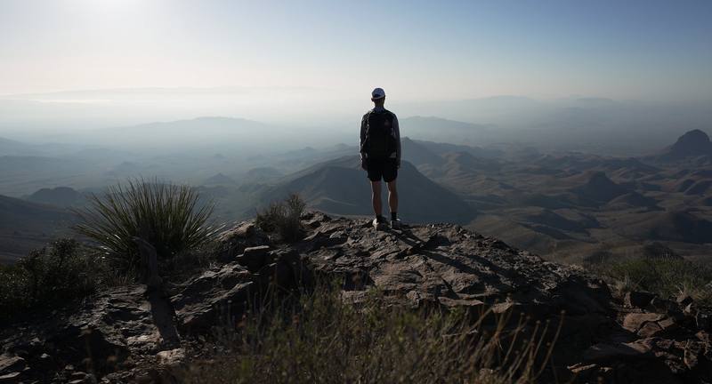
North America · United States
Apr 2021 · 2 days · about 27 miles · Solo · Tent

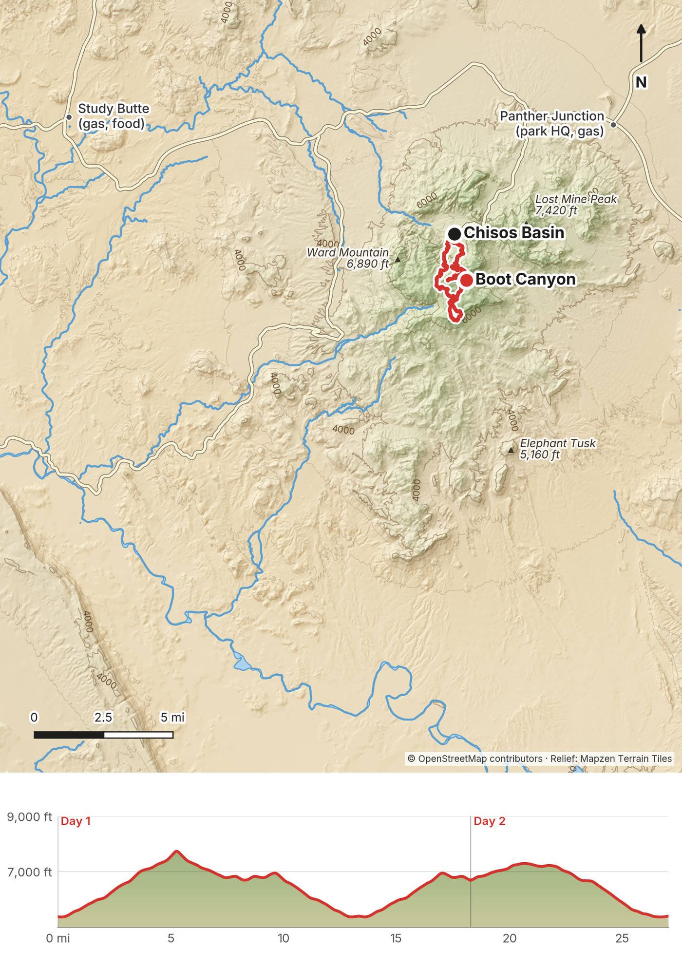
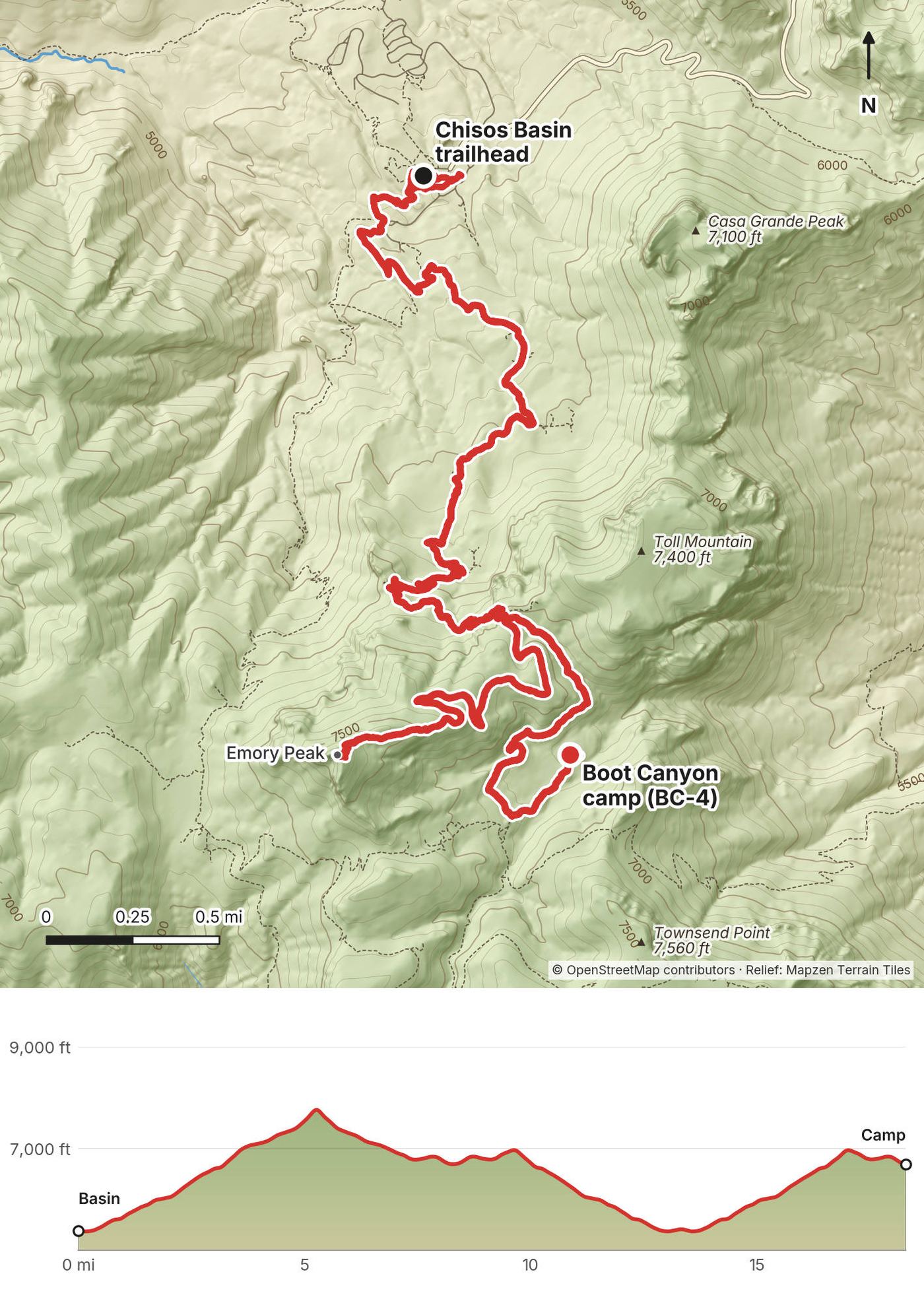
In April 2021 I hiked alone through the High Chisos, the mountains in the middle of Big Bend National Park in West Texas. I started in the Chisos Basin, climbed the Pinnacles Trail to Emory Peak, the highest point in the park, camped in Boot Canyon, and walked out along the South Rim the next morning, with the desert and Mexico spread out below, then down the Laguna Meadows Trail to the Basin. About 27.1 miles over two days by my GPS, but that includes a walk back down to the Basin for lunch on Day 1: the loop itself is about 17. It's the trip from my film Hiking 20 Miles Alone in Big Bend National Park.
It was my first time in the park, and this is the hike to do if you want to see as much of it as possible in a day or two. I could easily have done the whole loop in one day. I wanted the night out and the light.
| Quick facts | |
|---|---|
| Distance | 27.1 miles (43.5 km) over 2 days by my GPS, including a 10-mile walk back down to the Basin and up again on Day 1. The loop alone (Basin, Emory Peak, Boot Canyon, the South Rim, Laguna Meadows) is about 17 miles |
| Climbing | About 5,250 ft (1,600 m) up and down in all, by my GPS. Without my lunch trip, about 3,000 ft up |
| Days | 2: a long first day, a short morning out |
| Start and finish | The Chisos Basin trailhead, by the visitor center and store, about 5,400 ft (1,640 m) |
| High point | Emory Peak, 7,825 ft (2,385 m); my GPS read about 7,800 ft |
| Sleep | Boot Canyon campsite BC-4, about 6,690 ft (2,040 m) |
| Difficulty | Steady climbing on good trails. The last few yards of Emory Peak are a short, exposed scramble |
| Water | None you can count on. Carry it all from the Basin |
| Permits (2026) | A backcountry permit for a named campsite, $10 a night; the park entrance fee, $30 a vehicle |
| Day | Route | Miles (km) | Up / down (ft) | Sleep |
|---|---|---|---|---|
| 1 | Chisos Basin to Emory Peak and Boot Canyon (with my lunch trip back to the Basin) | 18.3 (29.4) | 4,526 / 3,206 | Boot Canyon BC-4, about 6,690 ft |
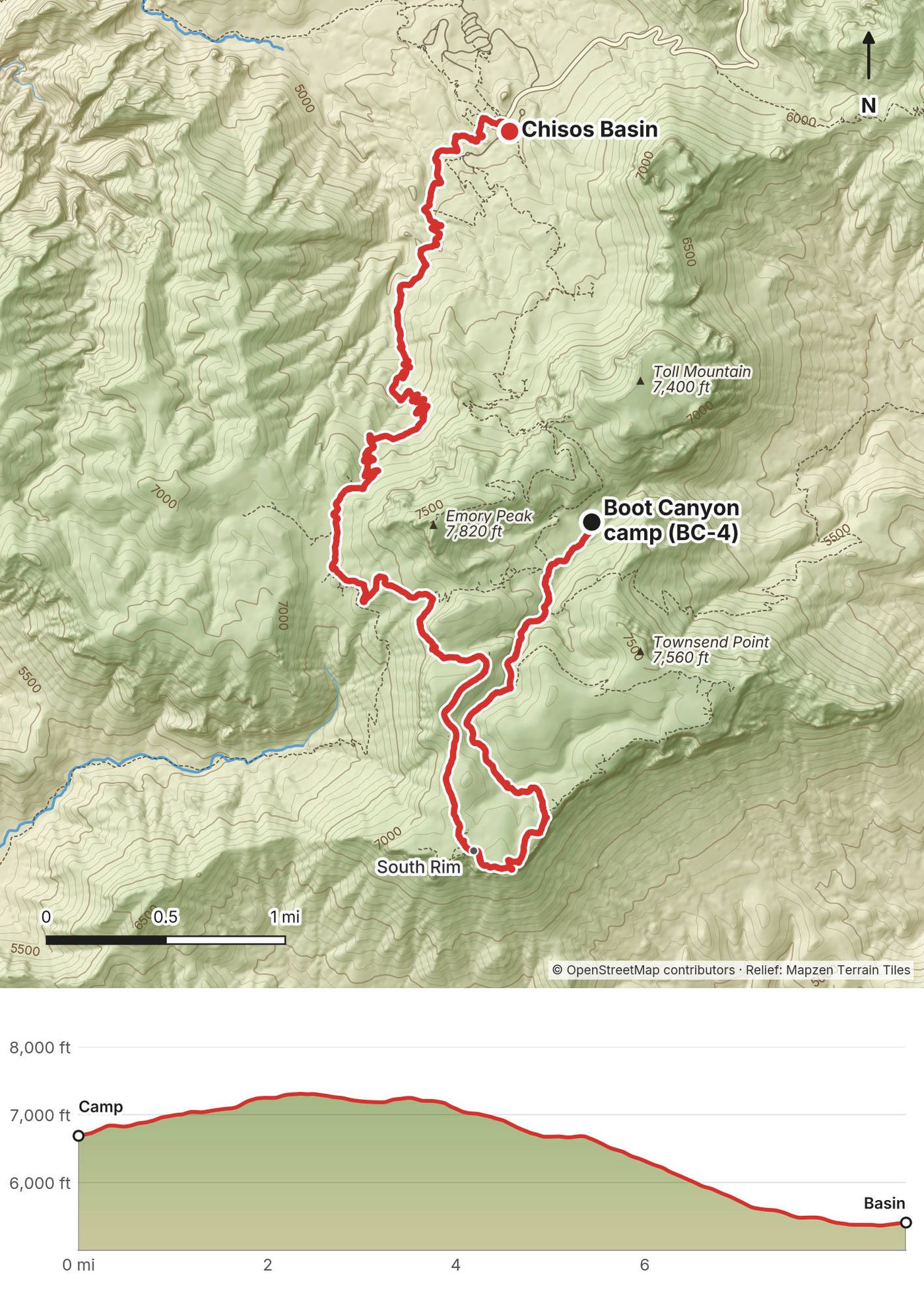
| 2 | Boot Canyon to the South Rim and down the Laguna Meadows Trail | 8.8 (14.1) | 728 / 2,027 |
My way in, 2021. I flew from New York City to Midland-Odessa and rented a car. It's a long drive down: you pass a lot of oil rigs and fields and cattle, and the farther south you go, the more isolated it gets and the more desert you get. The day I flew in I drove right into the park. I'd booked a night at the Chisos Mountains Lodge, so I'd have a nice place to take a shower, charge batteries and be ready to hike in the morning.
Flying in. Midland-Odessa is about 235 miles from park headquarters at Panther Junction, about 4 to 4.5 hours by car. El Paso is about 330 miles, 5 to 6 hours (it's on Mountain Time, an hour behind the park). San Antonio is 400 to 430 miles, 6.5 to 8 hours. There's no public transportation to or inside the park, so you need a car; any normal car makes it to the Chisos Basin.
Gas. There's no gas in the Chisos Basin. Fill up in Fort Stockton or Marathon from Midland, or in Alpine from El Paso. In the park, Panther Junction has gas around the clock by card. Outside the west entrance, Study Butte has gas.
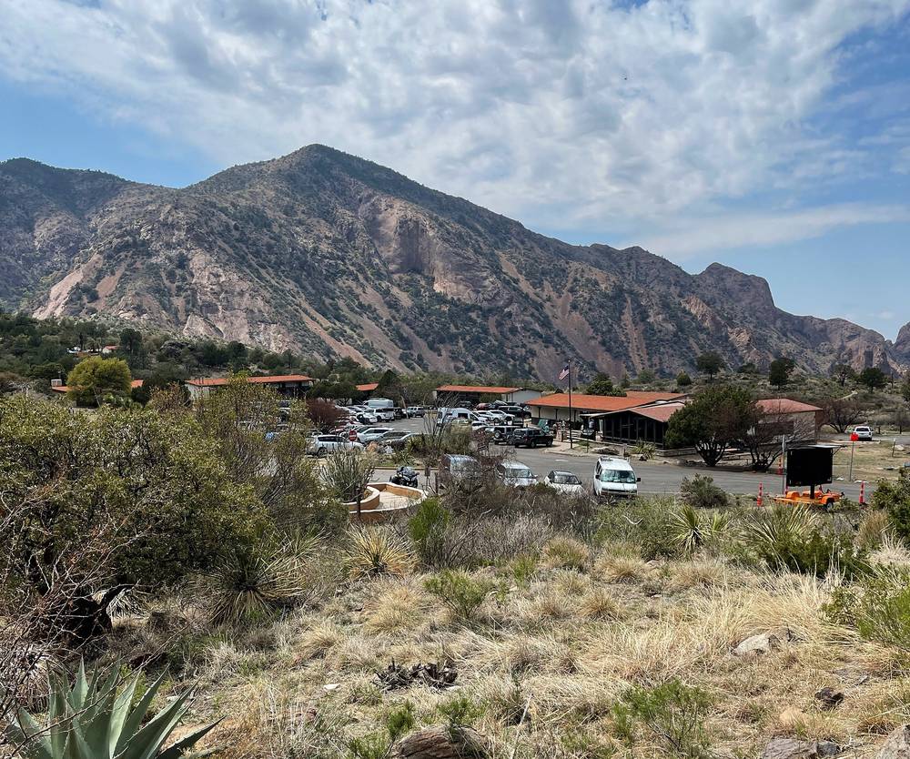
The Chisos Basin. From Panther Junction it's about 3 miles west on the main park road, then about 6 miles up the Chisos Basin Road: steep, with hairpins, and no trailers over 20 ft or RVs over 24 ft. The trailhead is by the visitor center and the store, at about 5,400 ft. Backpackers park overnight in the Chisos Basin amphitheater lot, not at the lodge.
The night before. The Chisos Mountains Lodge is the only lodging in the park, from about $177 a night before tax in 2026 (chisosmountainslodge.com, 855-765-1324). The Chisos Basin Campground is $16 a night, by reservation on Recreation.gov. Otherwise, Study Butte and Terlingua outside the west entrance are about 35 to 45 minutes away.
I didn't keep a list of what this trip cost me. In 2021 the camping at Coyote Crossing was $10.
For your budget (US dollars, as checked in October 2026):
| Item | Cost |
|---|---|
| Park entrance | $30 a vehicle for 7 days, or an America the Beautiful pass ($80 for US residents, $250 for non-residents in 2026). Cards only |
| Backcountry permit | $10 a night |
| A rental car from Midland, 3 days | About $135 to $300 |
| Gas, about 600 miles | About $85 to $105 |
| The night before | $16 at the Chisos Basin Campground, about $25 at Coyote Crossing, or about $200 with tax at the Chisos Mountains Lodge |
| A river float (optional) | About $75 to $185 with a guide |
That's about $350 to $400 for one person camping, or about $950 to $1,150 with the lodge, a cabin after, meals out and a float, before flights.
These were checked on the Park Service's Big Bend pages, the park's Chisos Mountains backcountry campsite booklet and its 2026 Superintendent's Compendium on October 3, 2026.
The permit. To camp in the High Chisos you need a backcountry permit for a named campsite for each night, $10 a night ($5 with a Senior or Access pass). The park's pages don't agree on the dates. The backpacking page says you can book on Recreation.gov ("Big Bend Backcountry Camping") from November 1 to April 15, up to six months ahead, and that from April 16 to October 31 permits are only given in person, up to 24 hours before your first night, at the Panther Junction or Chisos Basin visitor center. The permits page says in person only from May 1 to October 31, and, after the 2026 floods, that until further notice all backcountry campsites are only given in person at Panther Junction. Plan for in person from spring to fall, and check the permits page. If you book online, the confirmation email isn't your permit: print it no more than 14 days before you arrive.
The campsites. There are 42 campsites in 14 areas, reached only on foot, each with a cleared tent spot and a bear box. You camp only at your site. Boot Canyon has four (BC-1 to BC-4), about 4.5 miles from the Basin by the Pinnacles Trail. I had BC-4. I couldn't get a site on the South Rim, but that's really what you want to try for: being up along the edge for sunrise and sunset. The South Rim sites are SR-2 to SR-4 and the East Rim ones ER-1 to ER-9, and on both rims you have to pack out your human waste in a waste bag, because of the 2021 fire.
The falcon closure. From February 1 to May 31, part of the East Rim Trail and campsites ER-4 to ER-9 usually close for nesting peregrine falcons (in 2026 the park kept them open). The South Rim, Boot Canyon, Emory Peak, the Pinnacles and Laguna Meadows trails aren't part of it.
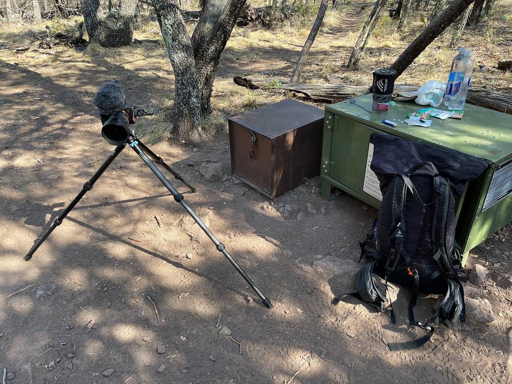
Food. Everything with a scent goes in your site's bear box: food, trash, toiletries, sunscreen, water bottles and dirty dishes. Never in your tent or pack at night. Bears have torn up tents left with smelly shoes inside.
Other rules. Stoves only: no wood or ground fires anywhere in the park, and no smoking on High Chisos trails and campsites. No hammocks. No pets on trails. No drones anywhere in the park. Groups of 15 or fewer. Up to 14 nights on a permit. Pack out your toilet paper (burning it is banned); there are composting toilets at Pinnacle Pass, in Boot Canyon and at Laguna Meadow.
| Night | Where | Height |
|---|---|---|
| Before | Chisos Mountains Lodge, Chisos Basin | about 5,400 ft |
| 1 | Boot Canyon campsite BC-4 (Day 1 mile 8.2) | about 6,690 ft (2,040 m) |
| After | Coyote Crossing, a campground outside the park near Study Butte |
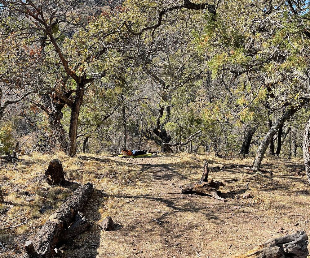
Boot Canyon BC-4. A flat, shaded spot under the oaks with a bear box, a short walk off the trail. It's in the trees in a canyon: pleasant and sheltered, but no view at sunrise or sunset.
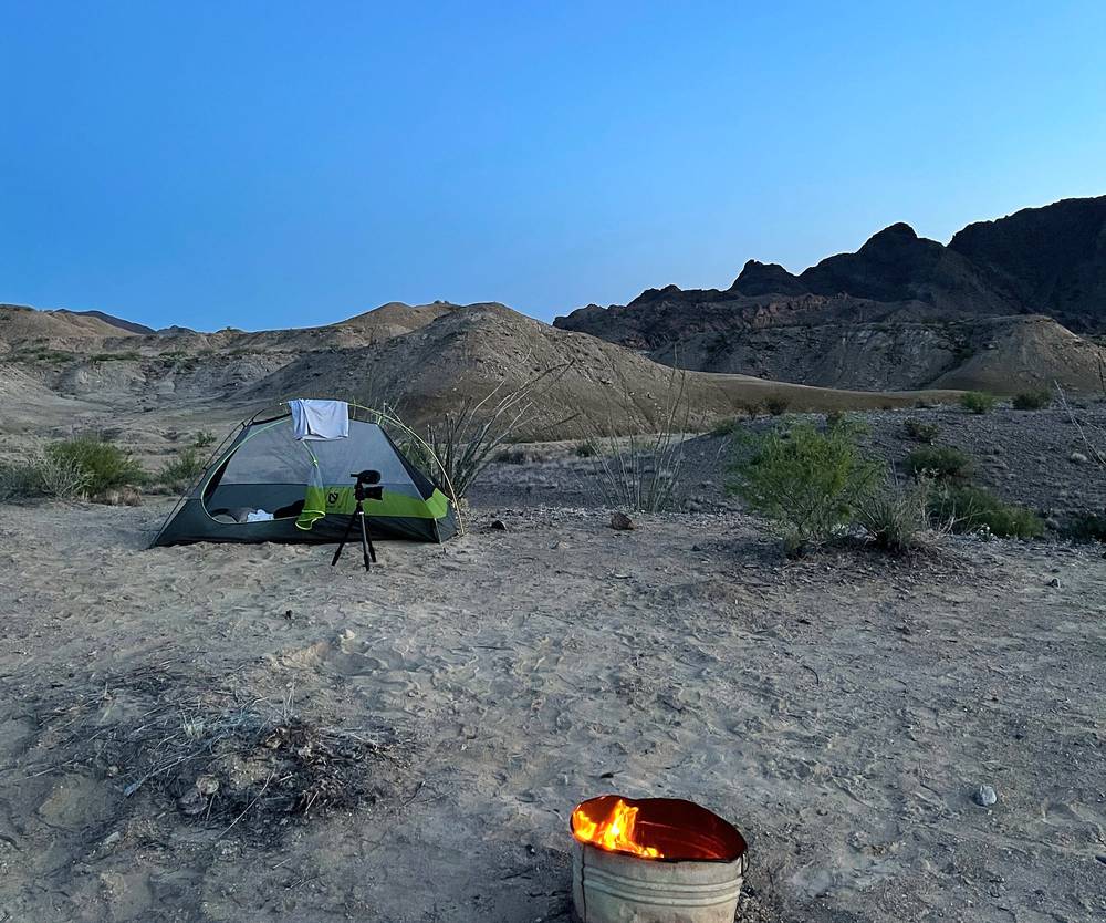
After. Coyote Crossing is outside the park on Highway 118 near Study Butte: open desert, a wide sky and mountains on the horizon.
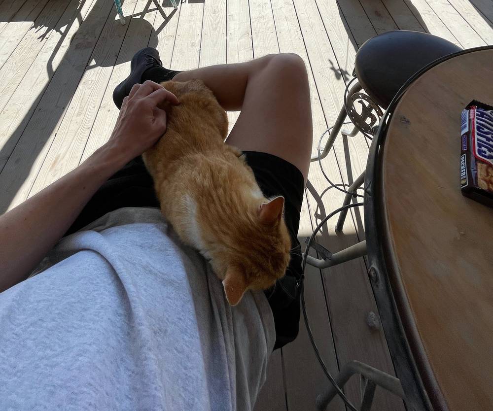
I liked making friends with the orange cat at the little country store I visited. The tacos at Rio Bravo were really good (it's on FM 170 in Study Butte, and still open in 2026, as reported). The $10 camping at Coyote Crossing was pleasant; it's still there in 2026, tent-only with no water, booked on Hipcamp (about $25 a night in recent listings). The Big Bend Boating and Hiking Company were very nice, and they had dogs. It was a nice little float down the Rio Grande, but the river was pretty low, so we didn't go where the big canyons are. It was a lot of sun: I think I got a little sunburned.
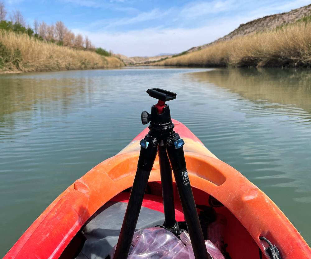
Food. I had lunch in the Basin on Day 1. The Chisos Basin store sells supplies, drinks and basic hiking stuff, and it had fuel canisters for my Jetboil in 2021. Its stock isn't listed now: buy a canister on the drive in (you can't fly with one) and treat the park stores as a backup. The lodge restaurant is closed in 2026; a food truck by the lodge sells hikers' lunches.
Water. There's no reliable water on the route: the Park Service says Boot Spring is usually dry, and pools after rain in Boot Canyon can't be counted on. Carry at least a gallon (4 liters) a person a day from the Basin: for an overnight in Boot Canyon, about 2 gallons (about 16 lb). My trip back to the Basin at lunch was also a water run. Fill up before you drive up to the Basin too: its water supply has had problems.
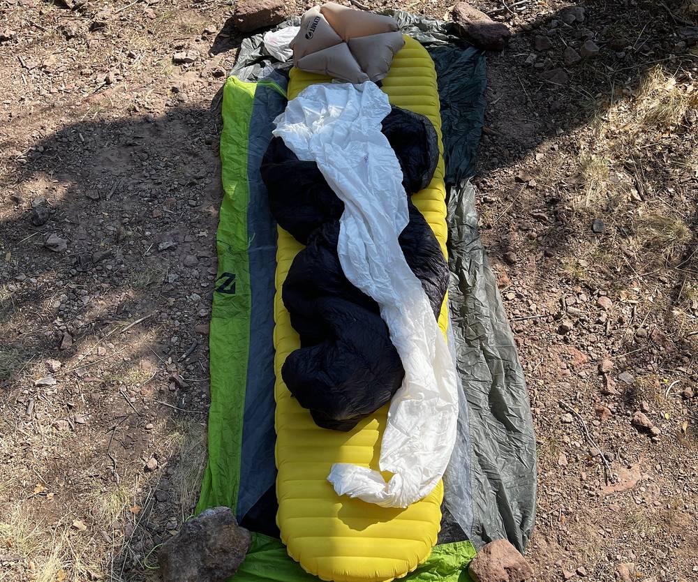
From my film and photos (I have no full gear list for this trip):
What this hike needs:
I started up from the Basin at 8:19 a.m. The Pinnacles Trail climbs steadily, switchback after switchback, toward the cliffs at the top of the Basin. Clouds were hanging over the peaks that morning.
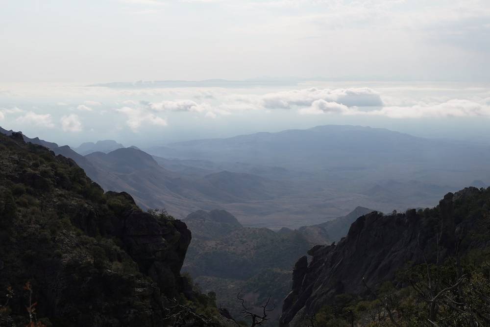
At the top of the climb, Pinnacle Pass, the Emory Peak Trail branches off. I went all the way up to Emory Peak, the highest point in the park. It was very easy compared to what I'm used to. Most people can do it, and the scramble at the top was barely a scramble. I was on the summit at 10:46 a.m. and stayed about 20 minutes.
Then I went on to my campsite in Boot Canyon. I got there early, so it's not in the video, but I dropped my stuff, took just my AirPods and a water bottle, went all the way back down to the Basin to have lunch, and walked all the way back up. I pretty much did Day 1 twice, and still had time to relax and chill. I was a little overprepared for this hike.
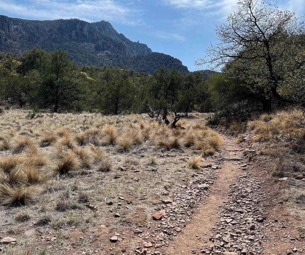
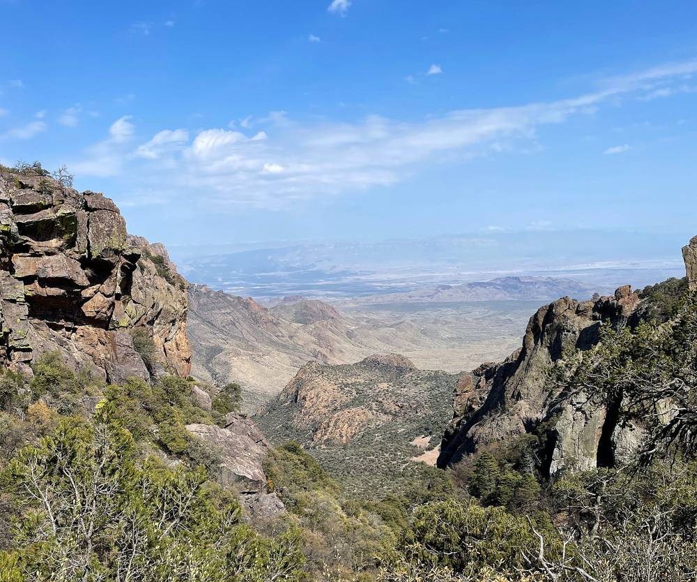
I was back at camp at 4:50 p.m. There were a lot of signs that there are bears in these mountains, and bear boxes at every campsite, but I didn't see anything.
The Pinnacles Trail. From the trailhead by the store the trail heads south across the Basin, past the Laguna Meadows turn, and climbs the Pinnacles Trail in switchbacks to Pinnacle Pass, at about mile 3.5 by my GPS, about 6,870 ft. It's the steeper of the two trails up from the Basin, with log steps. There's a composting toilet near the pass.
Emory Peak. At the pass, the Emory Peak Trail goes right (west). It's about 1.4 miles one way to the summit by the Park Service's count. The last quarter mile climbs steeply, and the last 25 ft or so are a scramble up an exposed rock face to the top, at 7,825 ft. Don't go up there in a thunderstorm.
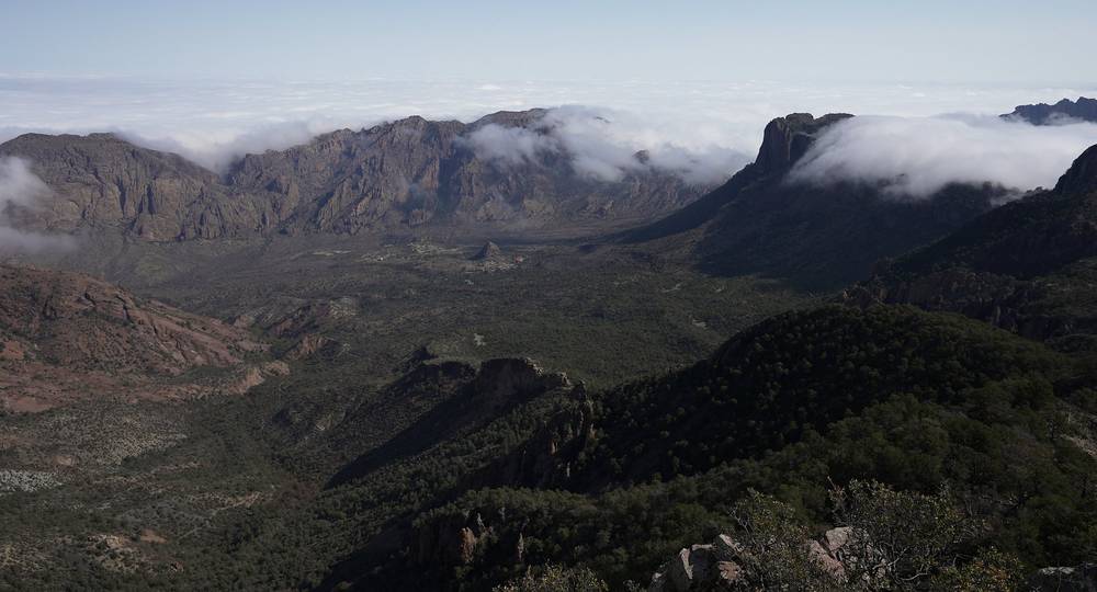
Boot Canyon. Back at the pass, the Boot Canyon Trail drops gently south into Boot Canyon, an oak and pine woodland that's a different world from the desert. The Boot Canyon campsites are along the trail; BC-4 is at about mile 8.2 by my GPS, about 6,690 ft. Without my lunch trip, that's your day: about 8.2 miles from the Basin with Emory Peak, or about 4.5 without it.
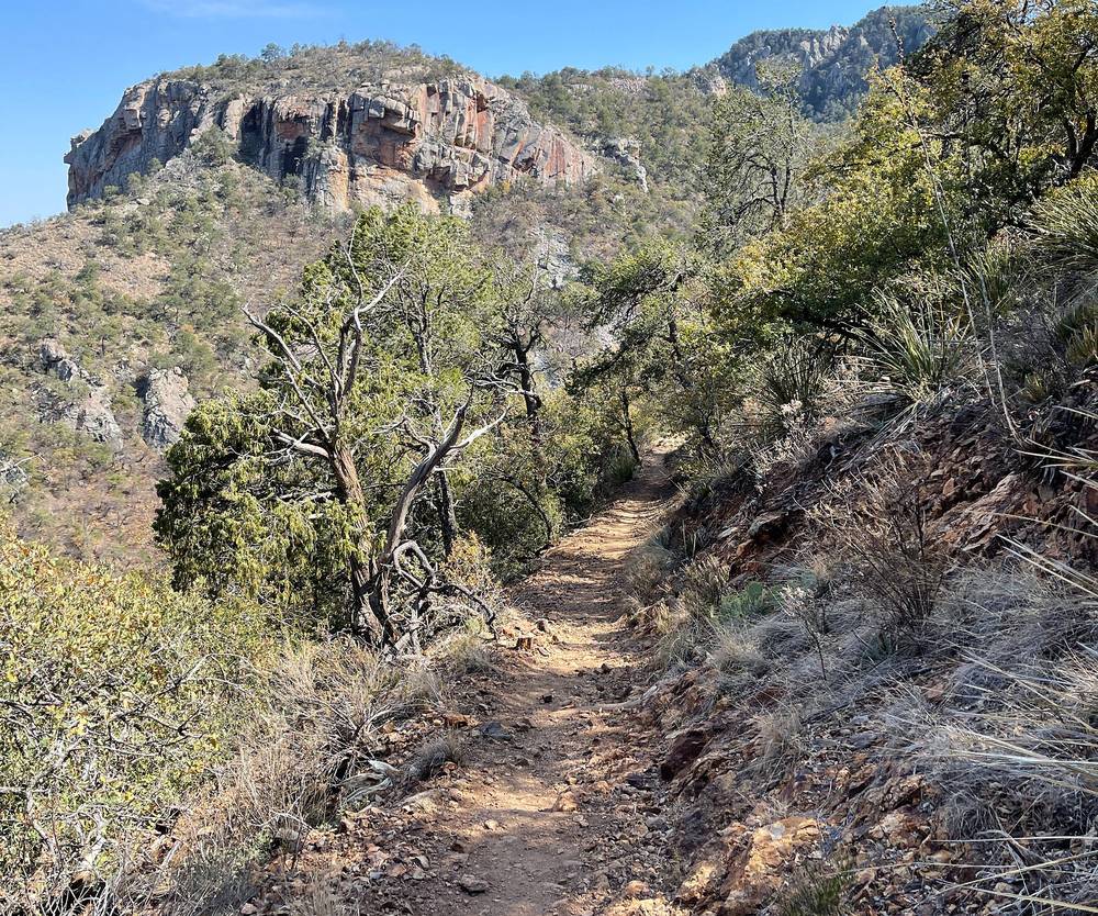
Pinnacle Pass is the place to decide. If storms are building, skip Emory Peak: the summit and the ridge are no place to be in lightning. If you're slow on the climb or short on water, the Basin is about 3.5 miles back down. Leave the Emory summit if the rock is wet or icy, or if you're not comfortable on the scramble: the view from below the top is almost as good.
Day 1 · How I got there and the loop on the map (from 9:00)
I left camp at 7:48 a.m. The highlight of the hike was definitely coming up on the South Rim that morning, with a nice, expansive view down toward Mexico. You can't really see the river, but the river's out there.
Then, to wrap up the loop, I just sped all the way downhill most of the time, back to the visitor center area. I was back in the Basin at 11:19 a.m.
Boot Canyon to the rim. From the campsites the Boot Canyon Trail continues south, gently, past Boot Spring (usually dry) and out of the trees onto the rim at about mile 2 by my GPS. The East Rim Trail branches off here: a 2.4-mile loop along the eastern edge, closed in falcon season in most years.
The South Rim. The South Rim Trail runs west along the edge, about 7,000 to 7,300 ft, high above the desert, with Mexico beyond. The main viewpoint is at about mile 2.7 by my GPS. It's open and exposed: windy and cold at sunrise, hot in the afternoon sun.
Laguna Meadows. At about mile 4.3 the trail turns north and drops into Laguna Meadow, then down the long, gradual Laguna Meadows Trail to the Basin. It's the gentler of the two trails, and open to the sun, which is why the Park Service suggests going up it in the morning and down the Pinnacles. I did it the other way round: the steep side up, the gentle side down.
You're heading out. If a storm comes in on the rim, get off the edge and down into the trees. If you're short on water or time, keep going: from the South Rim viewpoint it's about 6 miles down the Laguna Meadows Trail to the Basin, shorter than going back. Where you first reach the rim, the two ways are about the same, about 6.5 miles.
Day 2 · Behind the scenes (from 9:15)
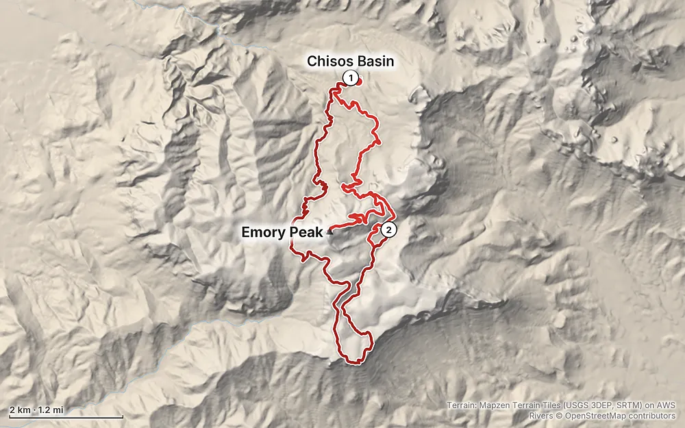
Elevation5,344–7,799 ft27.1 mi
Terrain: Mapzen Terrain Tiles (USGS 3DEP, SRTM) on AWS · Rivers © OpenStreetMap contributors
Tap a map to open it full size.
Checked on the National Park Service's pages for Big Bend National Park (alerts and conditions, backpacking, permits, fees, lodging, the 2026 Superintendent's Compendium) and on Recreation.gov, on October 3, 2026.
Open. The park planned to close the whole Chisos Basin from May 2026 for about two years to replace the lodge and the water system. On April 1, 2026 it cancelled the project for lack of money: "Previously planned closures of the Chisos Basin will not take place." The Basin road, the trailheads, the lodge, the campground, the store and the visitor center are open. The October 1, 2026 alerts list no closures in the High Chisos.
What might change. The park will put the Basin's water system work out to bid again, with no dates yet. A future project could close parts of the Basin for a time. The Basin's water supply is fragile too: its pumps failed in December 2025 and water was trucked in for weeks. Check the alerts page before you go.
In the Basin now. The lodge restaurant is closed; a food truck by the lodge runs 7 a.m. to 3 p.m. (closed 10 to 11 a.m.) The store is open 8 a.m. to 8 p.m., and the visitor center 8:30 a.m. to 4 p.m., closed for lunch.
Elsewhere in the park. Flash floods in 2026 closed several dirt roads and the paved road from Cottonwood Campground to Santa Elena Canyon. None of them are on the way to the Chisos Basin.
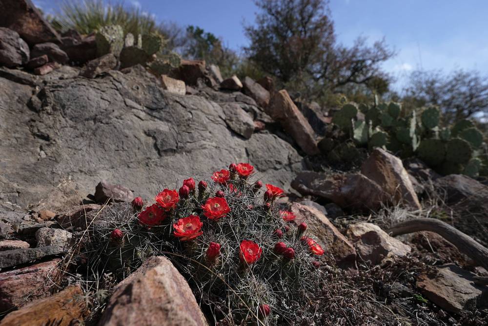
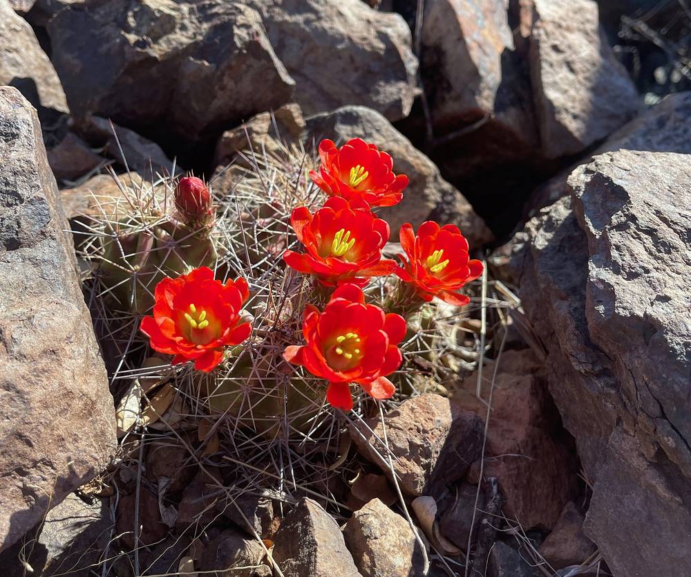
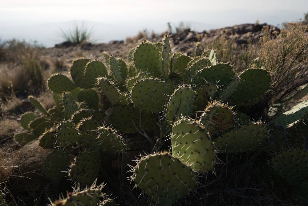
Early April. I went on April 4 and 5, 2021. It was sunny and warm in the day, with clouds hanging over the peaks in the morning on Day 1, and cool enough at camp in the evening for a puffy jacket. The cactus was blooming. A week later the South Rim Fire burned through these mountains; the trails reopened, and you'll walk through a patchwork of burned and green forest.
The best months. October to November, and late February to April. Spring is the park's busiest season, and the campsites book out. The Chisos are 10 to 15 °F cooler than the desert, so they're the place to hike in summer, but it's hot and you have to carry a lot of water.
Monsoon. July to September brings afternoon thunderstorms. Lightning is the danger on Emory Peak and the rim: the Park Service says don't try the last mile of Emory Peak in a storm.
Winter. Mild and sunny days, but it freezes at night in the mountains, and light snow and ice are possible.
Weather. Averages for the Chisos Basin, 5,401 ft (1,646 m), the start and finish (National Park Service):
| Month | High / low °F (°C) |
|---|---|
| March | 70 / 46 (21 / 8) |
| April | 77 / 53 (25 / 12) |
| May | 84 / 62 (29 / 17) |
| July | 87 / 67 (31 / 19) |
| October | 74 / 53 (23 / 12) |
| November | 65 / 45 (18 / 7) |
Boot Canyon and the South Rim are 1,300 to 2,000 ft higher, so expect them to be cooler, and windy on the rim.
Light. The South Rim is the place for sunrise and sunset: the view is open, and the light and color are there. My camp in Boot Canyon was in the trees in a canyon, kind of boring for sunrise and sunset. In mid-April the sun rises at about 7:30 a.m. and sets at about 8:20 p.m. Big Bend is at the far west of Central Time, so the sun comes up late.
Emergencies. Call 911; there's usually a signal in the Chisos Basin and at Panther Junction, but mostly not on the trails, so carry a satellite messenger. Park headquarters is 432-477-2251. Leave your permit itinerary and return time with someone at home.
Heat. From May to September the desert is well over 100 °F, and even the Basin reaches the high 80s. Hike early, rest in the shade at midday, and turn back if your water is running low.
Water. The rule: carry it all. Don't count on Boot Spring.
Lightning. July to September afternoon storms hit Emory Peak and the rim first. Be off the summit and away from the edge by early afternoon.
The Emory Peak scramble. The last 25 ft are hands-on rock with a drop. Keep three points of contact, and don't climb it wet, icy or in the wind.
Bears and mountain lions. Black bears and mountain lions both live in the Chisos. Keep food and anything with a scent in the bear box. If you meet a bear or a lion, don't run: stand tall, make noise, back away slowly, and throw rocks if it comes closer. Report sightings to a ranger.
Wildlife on the ground. Rattlesnakes and scorpions live here. Watch where you put your hands and feet.
How hard is it? Not hard, by mountain standards. It's steady climbing on good, well-built trails, about 1,500 ft up the Pinnacles Trail from the Basin to Pinnacle Pass by my GPS. Emory Peak was very easy compared to what I'm used to, and the scramble at the top was barely a scramble. Most people can do it. I could easily have done the whole loop in one day with much less gear.
How far is it? The loop from the Basin, up the Pinnacles Trail, to Emory Peak, Boot Canyon and the South Rim, and down the Laguna Meadows Trail, is about 17 miles by my GPS: 8.2 to my camp in Boot Canyon with the Emory Peak side trip, and 8.8 out the next morning. My film title says 20 miles; my Day 1 recording says 18.3, because I went back down to the Basin for lunch and climbed up again.
Do I need a permit? Yes, to camp: a backcountry permit naming your campsite for each night, $10 a night. From November to mid-April you can normally book on Recreation.gov up to six months ahead; from spring to fall it's in person only, up to 24 hours ahead, at the Panther Junction visitor center. After the 2026 floods the park's permits page said all backcountry permits were in person only until further notice, so check it first (see The rules and the campsites). A day hike needs no permit. The park entrance fee applies either way.
Is it the second highest peak in Texas? No. In the film I said I believed it was. Emory Peak, 7,825 ft, is the highest point in Big Bend National Park, but Guadalupe Peak, 8,751 ft, is the highest in Texas, and Emory ranks about tenth.
Is there water? No reliable water. The Park Service says Boot Spring is "usually dry." Carry all your water from the Basin: at least a gallon (4 liters) a person a day.
Are there bears? Yes, Mexican black bears live in the Chisos. There were a lot of signs of them, and bear boxes at every campsite, but I didn't see one. The park says no bear has ever attacked a person there. Everything with a scent goes in the box.
Can I fly a drone? No. Drones are banned everywhere in Big Bend National Park. My drone shots in the film were taken from outside the park, which is why the opening shot is from so far away.
Can I have a campfire? No. Wood and ground fires are banned in the whole park. Bring a stove.
Can I bring my dog? No. Pets aren't allowed on trails or in the backcountry.
Is there a phone signal? Around the Chisos Basin and Panther Junction, usually. On the trails, mostly not. Carry a satellite messenger and leave your plan with someone.
The whole loop, Basin to Emory Peak to the South Rim and back by Laguna Meadows, is about 15 to 17 miles with about 3,000 ft of climbing. I could easily have done it in one single day and carried much less. It needs no permit, but start early, carry at least a gallon of water, and be off the peaks before afternoon storms in summer.
I wasn't able to get a site on the South Rim, but that's really what you want to try to do: being up along the edge for the sunrise and sunset. The South Rim sites are SR-2 to SR-4; the East Rim sites (ER-1 to ER-9) are also on the edge. Book on Recreation.gov the day the window opens if you're going in the cool season and online booking is open again (check the permits page). Remember the waste bags.
The Park Service's suggested direction: the gentle, sunny Laguna Meadows Trail up in the cool of the morning, the South Rim, then Boot Canyon and down the steeper Pinnacles. Emory Peak is a side trip from Pinnacle Pass either way.
Emory Peak alone is about 10.5 miles round trip from the Basin. Lost Mine Trail, 4.8 miles round trip from the Basin road, is the best short hike in the Chisos. The Window, 5.6 miles round trip from the Basin, goes down to a pour-off; the climb back up is the hard part.
The Outer Mountain Loop, about 30 miles over three days, joins the High Chisos to the desert, with water caches you place by car beforehand. It's for the cool months only.
These change every year. Everything else in this guide stays the same.
Is it open?
Getting there
Your stuff
The film is at the top of this page.
When bookings open, from the sources named under each. Dates move: confirm on the official site.
Online from November 1 to April 15, up to six months ahead; from spring to fall in person only, up to 24 hours before your first night (after the 2026 floods, in person at Panther Junction until further notice).
Opens a set time before your start date: make a plan with your dates to see yours.
Book on recreation.gov.
Source: Kraig Adams's Big Bend guide: The rules and the campsites (checked Oct 3, 2026). Checked October 2026.
Planning questions about Big Bend, answered only from this page's facts, the creators' versions and hikers' public tracks, with where each answer comes from. When the data doesn't say, the answer says "not given".
From hikers
Sign in to comment. Free; your hikes stay private unless you share them.
Some lodging links earn me a small commission at no cost to you.
Something wrong or missing on this page? Send feedback.