Follow the Hiker
Find my next hikeGearSavedKraig Adams
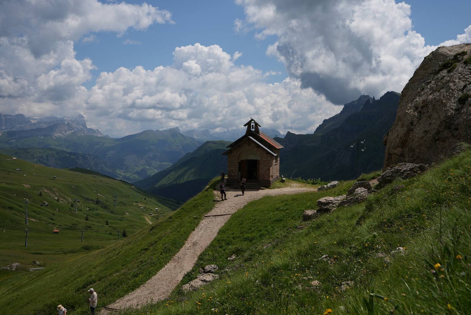
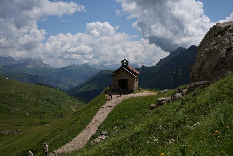
A small chapel on the Viel dal Pan trail on Day 3.
Distance
46.9 mi75.5 km
Days
5 days
Elevation gain
22,034 ft6,716 m
High point
10,341 ft3,152 m
Season
July to mid-September
Lodging
Huts
Plan this hike

Hikes / Europe / Alta Via 2

I spent five days hiking roughly 50 miles alone on the Alta Via 2 in the Italian Dolomites in late July 2021. I walked from Alta Badia past the Sella group and the Marmolada glacier to Passo San Pellegrino and on to Passo Valles, and slept in huts and hotels along the way. The days were full of alpine passes, minestrone soup lunches, limestone peaks, quiet valleys, espressos, grassy hillsides and lots of pasta.

Kraig Adams

Effort at this pace: Very hard · about 9 mi (15 km) and 4,407 ft (1,343 m) of climbing a day over 5 days, up to 10,341 ft (3,152 m). Our grade for the days given, worked out from distance, climbing and altitude a day; it isn't the trail's usual difficulty rating (under Basics) and doesn't rate exposure, terrain or weather.

Where these numbers come from

From Kraig Adams's GPS recording and guide.

Plan this hikeSave this hike

Plan: dates, gear, deadlines and stays in a private link. Save: keeps it on your account.

From Kraig Adams's GPS

The route, day by day

Relief map of the Alta Via 2 route: 5 days drawn in red with numbered day starts, labelled La Villa, Passo Valles, Piz Boè and Rifugio Contrin.

Elevation4,731–10,322 ft46.9 mi

From Kraig Adams's GPS. Terrain: Mapzen Terrain Tiles (EU-DEM, SRTM) on AWS · Glaciers, rivers & lakes © OpenStreetMap contributors

Tap a day for his map of it

  • Read day 1
  • Read day 2
  • Read day 3
  • Read day 4
  • Read day 5

The film

Watch it first

Alta Via 2 - Hiking 5 Days Alone in the Dolomites, Italy

Kraig Adams · Jul 21–25, 2021 · Solo

A small chapel on the Viel dal Pan trail on Day 3.
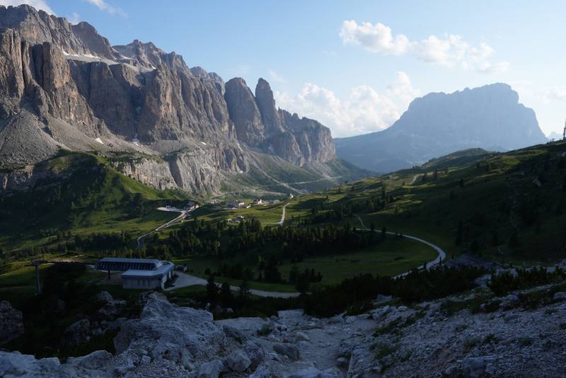
The Sella group from the Cir ridge at the end of Day 1.
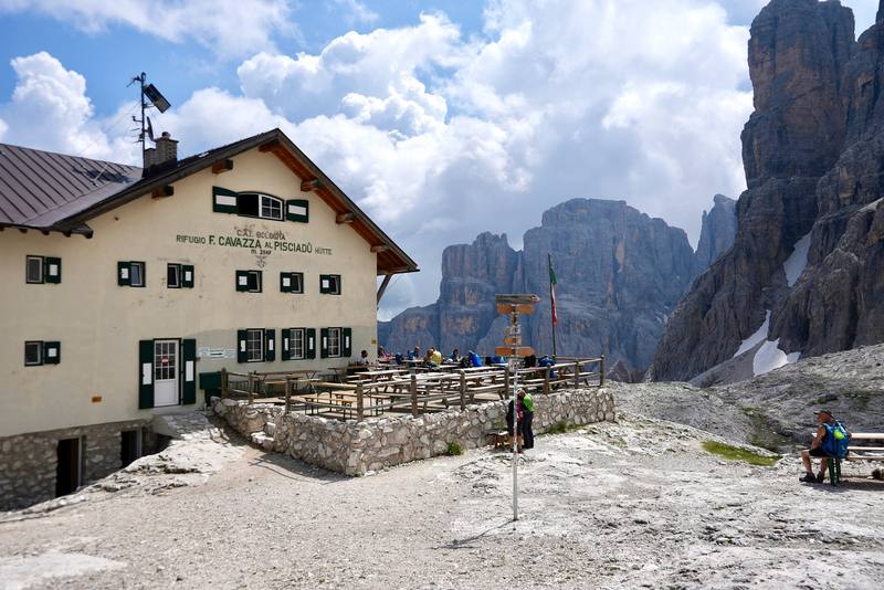
Rifugio Pisciadù, where I stopped for lunch on Day 2.
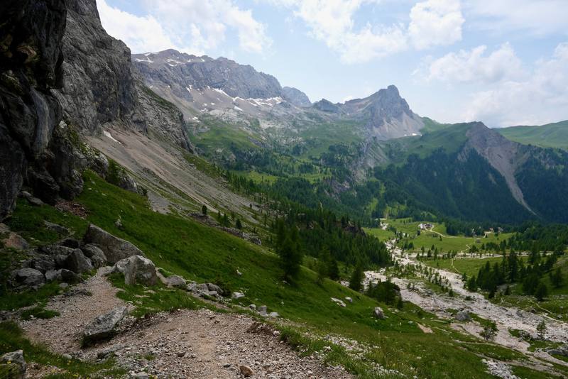
Val Contrin on the way down from Passo Ombretta to Rifugio Contrin.
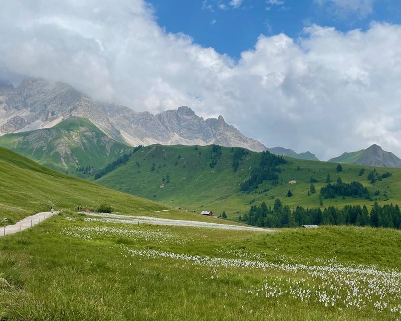
The meadows between Rifugio Fuciade and Passo San Pellegrino.

Before you go

The basics

Start
La Villa and Corvara, Alta Badia (South Tyrol)
Finish
Passo Valles, above Moena and Falcade (Trentino)
Usual difficulty
Pretty easy and not very challenging, in my words, but I hike for a living. Short cabled sections, one 10,000 ft summit and loose scree on two passes
Best time
July to mid-September
Permits
Book every hut bed ahead (each hut or a booking agency). There is no wild camping on the high route: camping is banned in the South Tyrol nature parks, Trentino bans it outside campsites with narrow exceptions, and Paneveggio-Pale di San Martino bans it at Passo Valles
Getting there
I flew into Venice and spent a night in the city. From Venice I booked a one-way bus to Cortina d'Ampezzo. It was about a 3-hour drive north and I think it cost about $30. In Cortina I asked around and found a bus that took about an hour to Corvara, the trailhead town. I checked into my hotel and met a representative of the agency there.
Nearest airport: Venice Marco Polo (VCE); Innsbruck and Munich to the north
Lodging
Huts

From Kraig Adams's guide

Costs and gear

What Kraig carried

Hyperlite Mountain Gear Southwest 2400 · a liner · Katadyn BeFree AC · 1L · an LED headlamp · a sun hoodie and hiking shorts · Patagonia Nano Puff Jacket · The North Face Resolve 2 · Patagonia Terrebonne Joggers and 23 more.

The full gear list

From Kraig Adams's guide

Safety

Rescue numbers

  • Emergency: 112.

Phone signal

  • Patchy.
  • On Day 3 the hut where I stopped by Lago di Fedaia was the first Wi-Fi I'd had all day.

Insurance

  • Mountain rescue in Italy can be billed to you, so check that your travel insurance covers helicopter rescue.

Bail-out points

  • Day 1, La Villa to Passo Gardena. From Furcela de Ciampëi, trails go down to Colfosco; that's the way the agency wanted me to go. Passo Gardena is on a road. Rifugio Jimmy sits at the top of the Plans and Frara gondolas, which go down to Colfosco; in 2026 they ran from June 13 to September 27, 8:30 to 17:30. That's the gondola I missed by about 30 minutes.
  • Day 2, Corvara to Rifugio Kostner. From Rifugio Boè, trail 627 goes to Forcella Pordoi and the Sass Pordoi cable car down to Passo Pordoi, about an hour. From Kostner, the Vallon chairlift and the Boè gondola go down to Corvara in summer. In 2026 the Boè gondola ran June 13 to October 4, 8:30 to 17:30, and the Vallon chairlift 8:45 to 17:15.
  • Day 3, Rifugio Kostner to Passo Fedaia. Passo Pordoi is on the main road with buses in summer. The Viel dal Pan has no road, but it's never far from Pordoi or Fedaia. Passo Fedaia is also on a road. In summer 2026, bus 472 ran from Passo Pordoi to Passo Sella and Val Gardena one way and to Arabba and Corvara the other, bus 131 ran from Passo Fedaia to Penia and Canazei in Val di Fassa, and Dolomitibus line 54 ran from Lago di Fedaia down to Malga Ciapela (to September 9).
  • Day 4, Malga Ciapela to Rifugio Contrin. Before Passo Ombretta, go back down Val Ombretta to Malga Ciapela, on the road with buses. From Contrin, a track goes down Val Contrin to Alba di Canazei in Val di Fassa, on bus line 101.
  • Day 5, Rifugio Contrin to Passo Valles. Fuciade has a road down to Passo San Pellegrino. San Pellegrino is the obvious place to finish if the weather turns. Bus B123 runs from Passo San Pellegrino down to Moena in about 25 minutes. In 2026 it ran June 27 to September 20, eight times a day on working days, leaving the pass at 8:46, 9:46, 10:46, 11:46, 14:46, 15:46, 16:46 and 17:46: there's no bus between 11:46 and 14:46.

From Kraig Adams's guide. For planning, not navigation: check before you go.

Their films and versions

Creators who've done it

1 creator so far: Kraig, 5 days, huts.

Walked Alta Via 2? Be the first to share your track: log it with your GPX.

Your time

Sign in and log a few hikes to see how long this one would take you.

Typical: 5 days (the hike's facts).

Ask this hike

Planning questions about Alta Via 2, answered only from this page's facts, the creators' versions and hikers' public tracks, with where each answer comes from. When the data doesn't say, the answer says "not given".

    From hikers

    Comments

    Sign in to comment. Free; your hikes stay private unless you share them.

    Answered from the data

    Questions people ask

    How many days do you need for Alta Via 2?

    I did my section, about 47 miles from La Villa to Passo Valles, in 5 days. If you haven't done back-to-back mountain days, plan 6 or 7 days for it. The full route from Bressanone to Feltre is 13 official stages.

    From Kraig Adams's trip and guide.

    How much does Alta Via 2 cost?

    It was very expensive, probably the most expensive hike I've ever done. My Tour du Mont Blanc cost way less because I slept in my tent. The price of my agency package isn't in my records. Booking the huts yourself at 2026 prices, plan on roughly €70 to €100 a night with half board, plus lunches, drinks, the €18 Sass Pordoi cable car and your buses. See what I paid.

    From Kraig Adams's trip and guide.

    When is the best time to hike Alta Via 2?

    July to mid-September. The huts open from about mid-June to mid or late September. I went in late July 2021 and still hit snow and hail near the high point, so aim for mid-July to early September for passes without snow.

    From Kraig Adams's trip and guide.

    Where do you sleep on the Alta Via 2?

    In huts and hotels. My nights were two in a Corvara hotel, then Rifugio Kostner, Rifugio Passo Fedaia and Rifugio Contrin, and a hotel in Moena. There's no wild camping on the high route, but there are campsites in the valleys.

    From Kraig Adams's trip and guide.

    How do you get to the start of the Alta Via 2 section?

    From Venice airport, Cortina Express runs to Cortina in about 2 hours, then in summer Dolomitibus lines 52 and 465 go on to La Villa and Corvara. From the north, take the Brenner railway to Brunico and bus 460 to La Villa.

    From Kraig Adams's trip and guide.

    Do I need via ferrata gear for the Alta Via 2?

    Not for my line. I skipped the via ferrata over Forcella della Marmolada and went around by Malga Ciapela and Passo Ombretta. Val Setus and the way down to Kostner have fixed cables on steep hiking trails.

    From Kraig Adams's trip and guide.

    Plan this hikeThe route