
Content made there

Photos
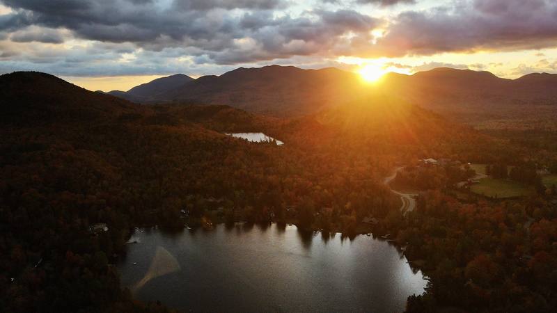
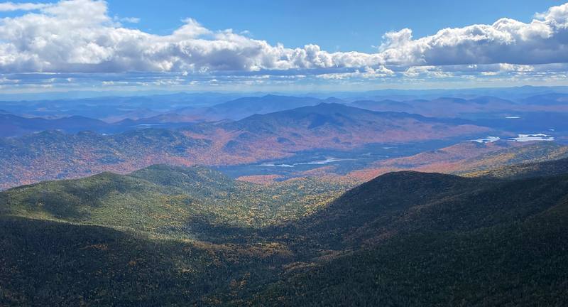
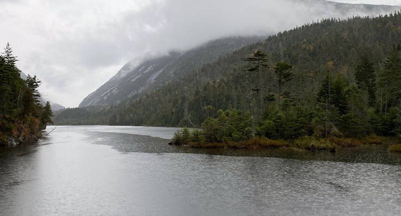
Every time he hiked it
- Mount Marcy and Algonquin: Oct 2020 · 2 days (the guide's trip)
- Adirondack High Peaks in the rain: Sep 2019 · 3 days · Solo
Hikes / Adirondack High Peaks / Kraig Adams's version
North America · United States
Oct 2020 · 2 days · Tent

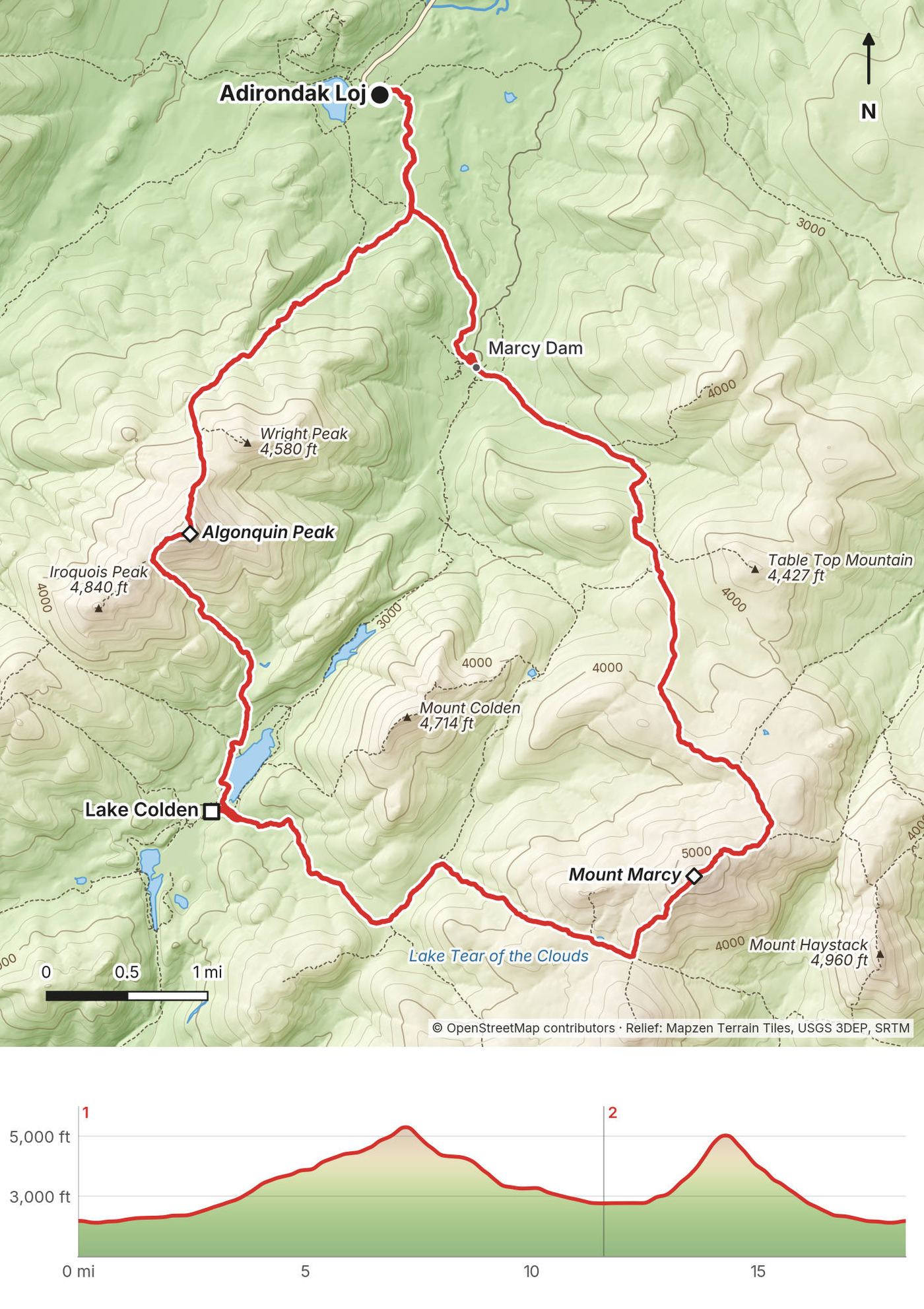
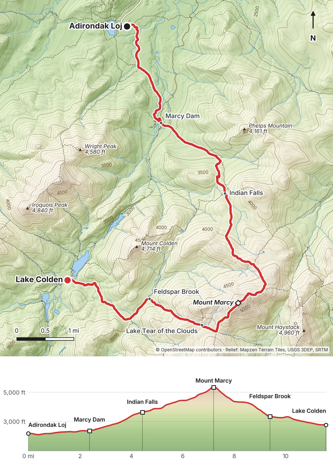
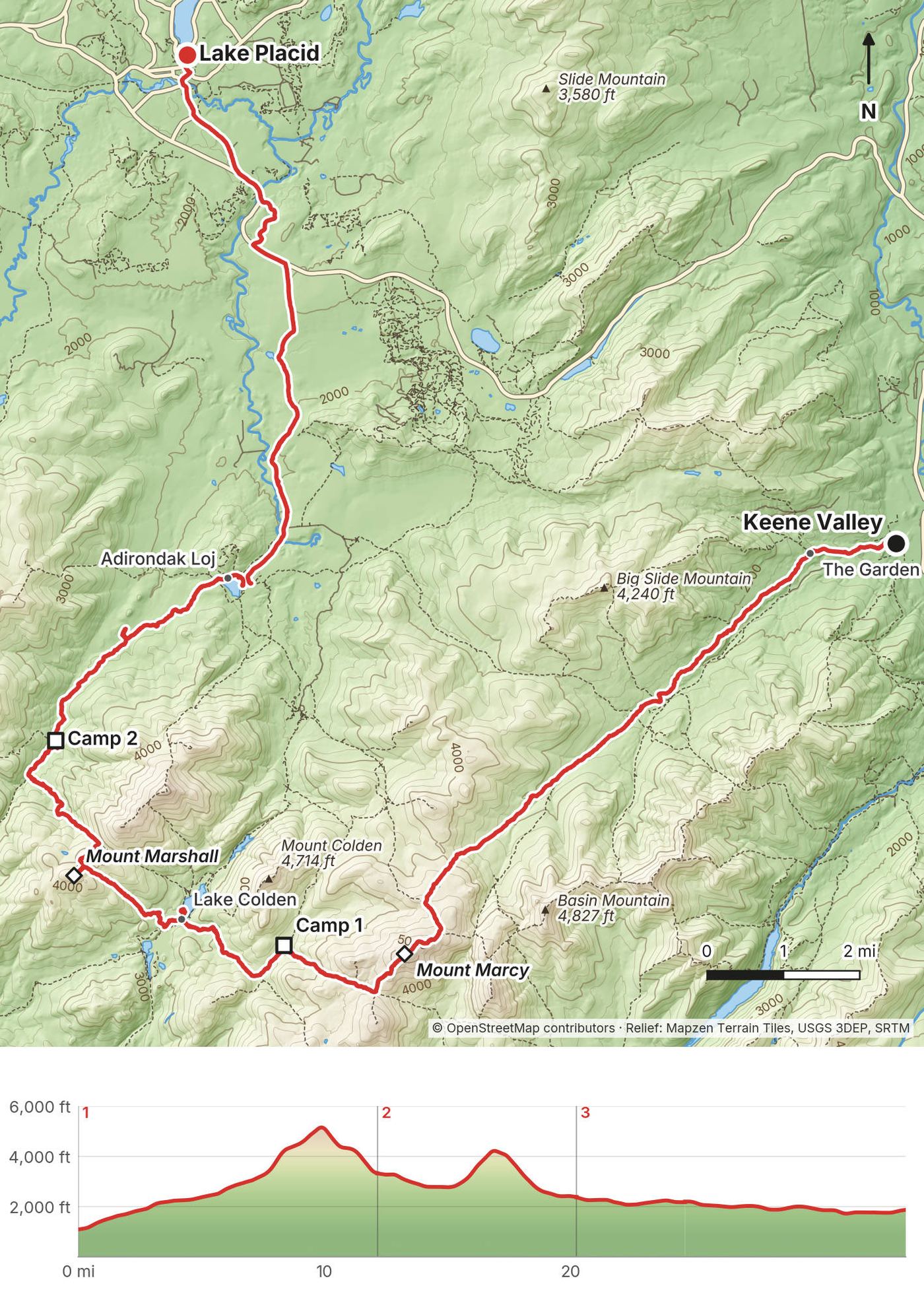
In early October 2020 I hiked a loop over the two highest mountains in New York, alone except for my parents' yellow lab, Shia: from the Adirondak Loj at Heart Lake up the Van Hoevenberg Trail to the summit of Mount Marcy, down the west side past Lake Tear of the Clouds to a lean-to at Lake Colden, then up the steep side of Algonquin Peak and back down to the Loj. Two days, about 18 miles on my GPS. It's the trip from my film Hiking the Mount Marcy Loop in the Adirondacks.
The Adirondack High Peaks are a place I've been to multiple times, and I'll probably visit every fall or summer for the rest of my life. I grew up about five hours away in New York State, and I've been going there since I was a kid. I've probably been over Mount Marcy six or seven times now. It's a special place.
| Quick facts | |
|---|---|
| Distance | 18.3 miles (29.4 km) on my GPS, a loop from the Adirondak Loj. I called it "the 22-mile loop" in the film |
| Climbing | about 5,760 ft (1,755 m) up and the same down |
| Days | 2. I did 11.6 miles on Day 1 and 6.7 on Day 2 |
| Start and finish | The Adirondak Loj trailhead at Heart Lake, about 9 miles by road from Lake Placid |
| High points | Mount Marcy, 5,344 ft, the highest point in New York (Day 1); Algonquin Peak, 5,114 ft, the second highest (Day 2) |
| Low point | About 2,090 ft, near the Loj. My camp at Lake Colden: about 2,760 ft |
| When | I went October 1 and 2, 2020, in the fall color |
| Difficulty | Not long, but rocky, rooty, wet and steep. Both summits are open rock above the trees |
| Permit | None, but sign the trail register. A hard bear canister is required for overnight trips from April 1 to November 30 (2026) |
| Day | Route | Miles (km) | Up / down (ft) | Sleep |
|---|---|---|---|---|
| 1 | Adirondak Loj over Mount Marcy to Lake Colden | 11.6 (18.7) | 3,351 / 2,764 | Opalescent Lean-to, Lake Colden |
| 2 | Lake Colden over Algonquin Peak to the Adirondak Loj | 6.7 (10.7) | 2,407 / 2,994 | Home |
The numbers are from my own GPS, smoothed the same way every day (see Using the GPX files).
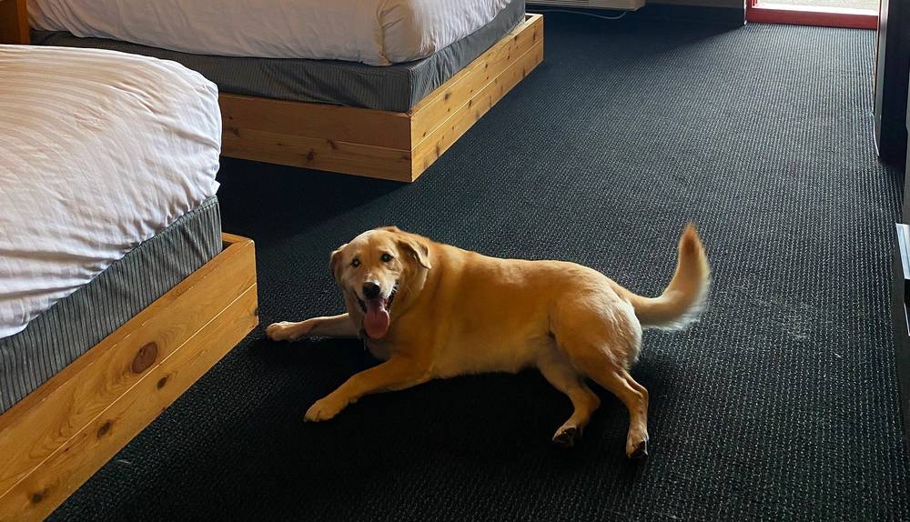
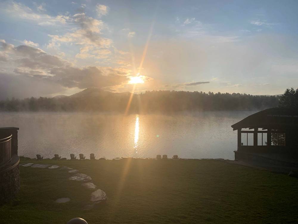
My way in, 2020. I drove, with Shia, who doesn't really get out hiking that often, so she was a little skeptical of the long ride all the way to the Adirondacks. The night before, I stayed where I always stay, the Lake House in Lake Placid. It's a great spot, and they allow dogs; they welcome dogs. I picked up little booties for Shia, but after trying them on in the hotel room she did not like them at all, so we ditched that. That was a bad idea. In the morning I drove to the Adirondak Loj, paid for parking, checked in at the log book and started hiking.
My way in, 2019. I almost always find myself taking the train or bus up from New York City at least once a year to hike. In 2019 I came up on the Friday (my photos pass the Saratoga Springs train and bus station that afternoon) and started walking from Keene Valley on the Saturday morning. Exactly how I traveled isn't in my records.
By car. The Adirondak Loj is at the end of Adirondack Loj Road, which leaves Route 73 between Lake Placid and Keene. From the trailhead to the village of Lake Placid it's about 9 miles on the road; I walked it in 2019 (see My 2019 traverse).
Parking at the Loj (2026). The Adirondack Mountain Club (ADK) runs the lot: non-members $25 a day, $15 for a half day (after 1 p.m.), $120 for a multi-day or full-week stay; ADK members $10, $6 and $50. ADK's page doesn't say how a one-night trip is charged, so ask at the booth. ADK says its lots often fill before 6 a.m. on summer weekends and before 9 a.m. on weekdays. When they're full, ADK sends overflow parking to the lot at the end of Meadows Lane or the right side of Adirondack Loj Road from Meadows Lane toward Route 73 (about a mile), so you add a walk; there's no parking on the Loj Road between the booth and Meadows Lane, or along Meadows Lane. In 2020 I parked my car for two days for about $10 ($7 if you're an ADK member, I think it was).
Without a car (2026). Amtrak's Adirondack runs every day from New York to Westport, but its October 2026 timetable lists no bus on to Lake Placid, so you'd need a car service. Adirondack Trailways runs buses from New York's Port Authority to Lake Placid, about 10 hours with a change. Cape Air flies from Boston and New York JFK to Saranac Lake, about 20 minutes from Lake Placid. From Lake Placid to the Loj you need a taxi or car service: Lake Placid's visitor site lists a few, but no scheduled shuttle to the Loj, and says rides are sparse even in peak season, so book ahead.
Bear canisters. The High Peaks Information Center at the Loj rents them and sells maps and supplies (2026). It opens at 7 a.m. on weekdays and 6 a.m. on weekends, so for an early start, rent your canister the afternoon before. In 2020 I rented mine in Lake Placid at Eastern Mountain Sports. It was cheap: less than $20 for three days. Whether the Lake Placid EMS store still rents canisters wasn't confirmed in October 2026; call first.
The Adirondak Loj. I don't even know what "Loj" stands for, but there's a lodge, a gift shop and a small grill where you can get a delicious hamburger. ADK also runs a campground and the High Peaks Information Center there, and its food stand by the information center is the Hungry Hiker.
| Item | What I paid |
|---|---|
| Parking at the Adirondak Loj, two days (2020) | About $10, I think ($7 for ADK members) |
| Bear canister rental, Eastern Mountain Sports, Lake Placid (2020) | Less than $20 for three days |
| The Lake House, Lake Placid (2020) | Not in my records |
| Permit | None |
| Food (2019, bought in town) | Not in my records |
| Train and travel from New York City (2019) | Not in my records |
For your budget (2026). Parking at the Loj is $25 a day or $120 for a multi-day or full-week stay for non-members ($10 and $50 for ADK members). The Garden lot in Keene Valley is $10 a day. There's no fee for the wilderness. A bus from New York to Lake Placid starts at about $136.
| Night | Where | Height (my GPS) |
|---|---|---|
| Before Day 1 | The Lake House in Lake Placid | |
| 1 | The Opalescent Lean-to at Lake Colden (Day 1 mile 11.6) | about 2,760 ft (842 m) |
In 2019 I slept in Feldspar Lean-to (about 3,320 ft) and at a campsite near Scott Clearing on the Indian Pass Trail (about 2,380 ft).
Lake Colden. A camping area with lean-tos and designated tent sites along the lake, all first come, first served. Lean-tos are shared until full, normally 8 people; no tents inside.
At the Loj (2026). ADK's Adirondak Loj has rooms for up to 38 guests, and its Wilderness Campground has campsites, lean-tos and cabins, by reservation. Good for the night before if you'd rather not drive in the morning.
In Lake Placid (2026). The Lake House is now one of the buildings of the High Peaks Resort, on Mirror Lake. It takes up to two dogs per room, up to 75 pounds each, for $75 per dog per night, and dogs can't be left alone in the room.
All mine, carried in the canister. In 2019 I bought it in town on the way: Twix, oatmeal, jerky, apples and oranges. In 2020 my gear list included Mountain House meals and a Jetboil. There's nothing to buy on the trail. At the Loj, the Hungry Hiker food stand serves American food, ice cream and beer; ADK's two pages disagree on its hours (daily 1 to 8 p.m., or 1 to 7:30 p.m. Thursday to Monday) and neither gives a fall closing date, so check before you count on it.
Plenty: Marcy Brook, Feldspar Brook, the Opalescent River, Lake Colden and streams on both days. The summits are dry, so fill up before you climb. Treat or filter everything. In 2017 I learned that a straw filter is good for drinking from a stream but not for filling bottles; bring a filter that fills bottles.
Use the restrooms at the Loj before you start. On the trail, use a privy where there is one; otherwise bury waste at least 150 ft from water, camps and trails, and pack out toilet paper. Nothing goes into the water.
Paid links: I earn a commission if you buy through these links, at no extra cost to you. As an Amazon Associate I earn from qualifying purchases.
I carried everything for two days and a night at Lake Colden in October 2020, with my parents' dog. Here's what I carried, what I'd take now, and what I filmed with.
From my 2020 film's gear list.
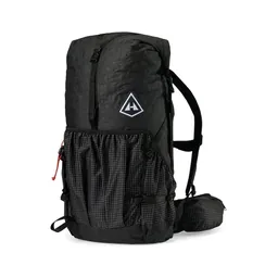 Pack: Hyperlite Mountain Gear Southwest 2400 (Hyperlite)
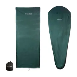 Liner: Outdoor Vitals Sleeping Bag Liner (Amazon)
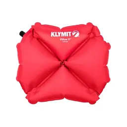 Pillow: Klymit Pillow X (Amazon)
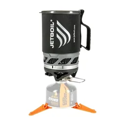 Stove: Jetboil MicroMo (Amazon). No campfires in the Eastern High Peaks.
 Water: Katadyn BeFree AC · 1L (Amazon)
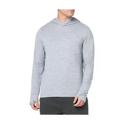 Shirt: Amazon Essentials Quick-Dry Tech Hoodie (Amazon)
 Puffy: Patagonia Nano Puff Jacket. Similar: Arc’teryx Cerium Hoody (Arc’teryx).
 Rain shell: The North Face Dryzzle jacket. Similar: Arc’teryx Beta AR Jacket (Arc’teryx).
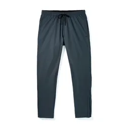 Pants: Patagonia Terrebonne Joggers. Similar: PATH Projects Killam PX Pant (PATH Projects).
 Winter hat: Muji boucle watch cap. Similar: PATH Projects Hoyt Merino Beanie (PATH Projects).
 Sunglasses: Warby Parker Barkley sunglasses. Similar: Goodr OG Sunglasses (Amazon).
What I'd add for this route from my current kit.
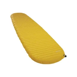 Sleeping pad: Therm-a-Rest NeoAir XLite NXT (Amazon)
 Sleeping bag: Hyperlite Mountain Gear 20° Mummy Bag (Hyperlite). It's cold on top in October.Rain shell: Arc’teryx Beta AR Jacket (Arc’teryx). Cold and windy on top in October.
 Poles: Black Diamond Alpine Carbon Z Poles (Amazon). For mud and wet rock.
 Microspikes: Yatta Life Ice Spikes (Amazon). Late in the fall.
What I filmed this trip with in 2020. My setup is much smaller now (below). No drones in the wilderness: see Permits and rules.
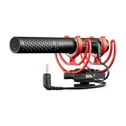 Mic: Rode VideoMic NTG (Amazon). With a dead cat for the wind.
 Tripod head: Joby ball head (Amazon)
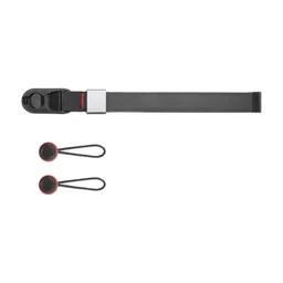 Wrist strap: Peak Design Cuff Wrist Strap (Amazon)
 Drone: DJI Mavic Air 2. Flown only outside the wilderness. Similar: DJI Mini 5 Pro (Amazon).
Since September 2026 I film with a smaller setup: the Pocket 4 and the Mic 3 on the trail, and the Mini 5 Pro in the air.
 Camera: DJI Osmo Pocket 4 (Amazon)
 Mic: DJI Mic 3 · 1 TX + 1 RX (Amazon). It pairs with the Pocket 4.Drone: DJI Mini 5 Pro (Amazon)
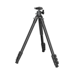 Tripod: SmallRig Carbon Fiber Tripod (Amazon)
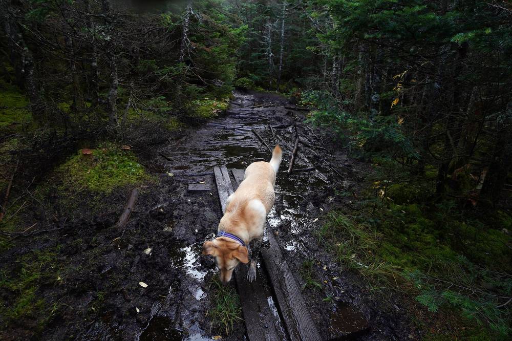
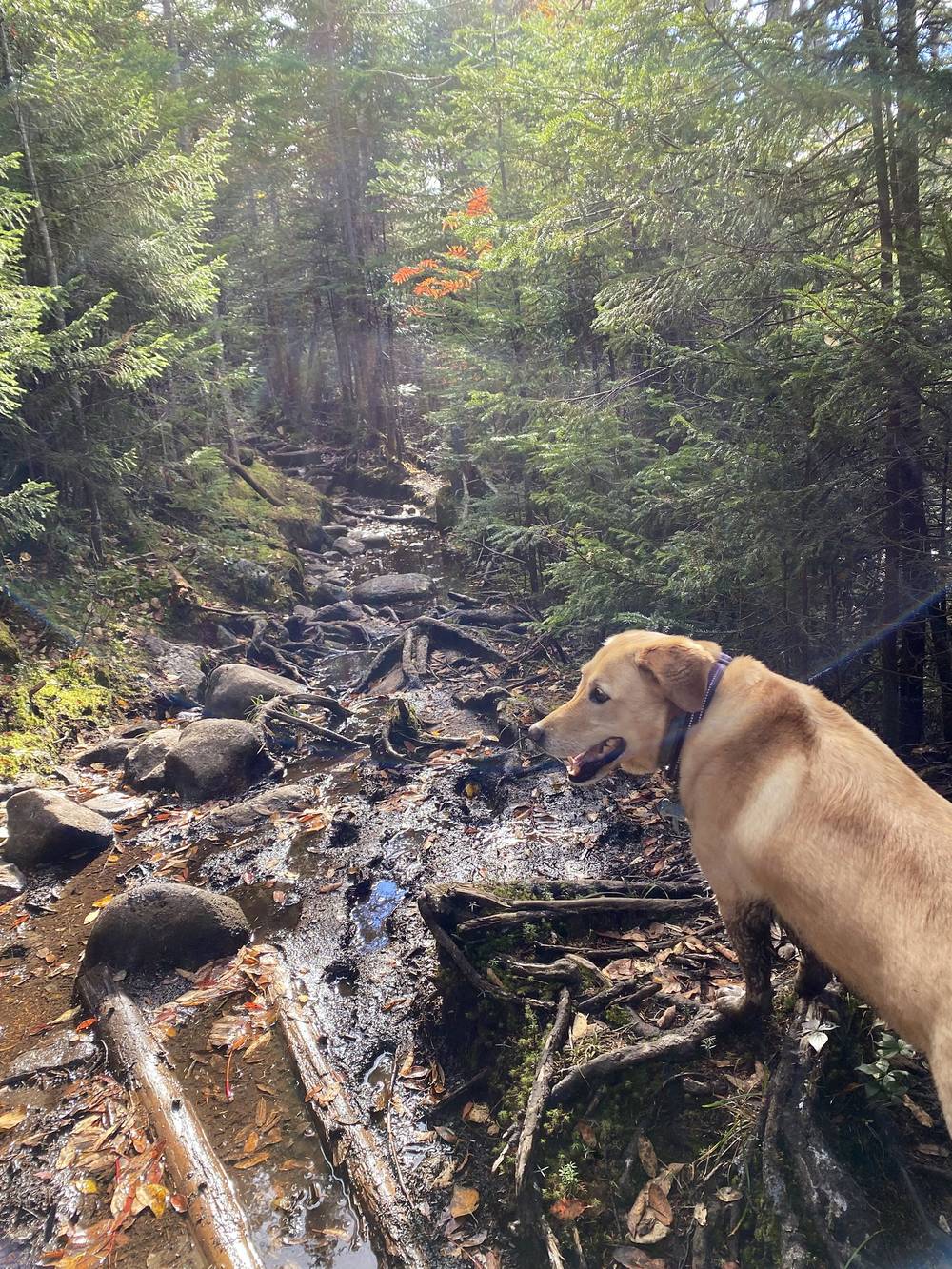
I parked at the Loj, signed the log book and started up the Van Hoevenberg Trail with Shia a little before 8:30. Once she was there, it was wolf mode activated: she was hiking faster than me. She was having so much fun, and whenever I stopped to set up the camera for a shot and then went back to get it, she was so confused. She would even whine. She just wanted to keep hiking.
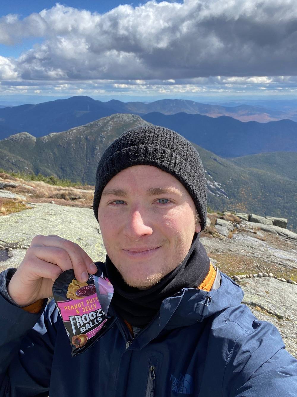
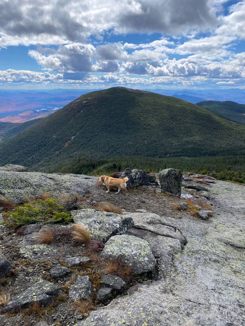
I got to the summit of Mount Marcy at about 12:30 and stayed half an hour: blue sky, big clouds and fall color in the valleys below. It was pretty windy on the peaks.
Then it was down the west side, past Lake Tear of the Clouds, and down Feldspar Brook and the Opalescent River to Lake Colden. There are a lot of campsites around there, and it's a beautiful spot. I made a custom AllTrails map at the time so people could see where I camped: "Spent 2 days hiking this loop. Summited two peaks and spent the night at a lean-to at Lake Colden."
To Marcy Dam. From the trailhead and register at the Loj, the Van Hoevenberg Trail is wide and fairly flat for the first 2.4 miles, past the junction with the trail to Algonquin (mile 1.0, where you'll come back on Day 2), to Marcy Dam (about 2,360 ft). The dam itself is gone; there's a trail register and lean-tos there, and the trail toward Avalanche Pass leaves here.
Up to Indian Falls. Past Marcy Dam the trail climbs along Phelps Brook, past the trail to Phelps Mountain (mile 3.3), to Indian Falls (mile 4.4, about 3,630 ft), where the trail crosses Marcy Brook at the top of the falls. DEC lists the Phelps Brook crossing above Marcy Dam and the crossing at Indian Falls among the crossings hit by high water, and OpenStreetMap shows a high-water route just past Marcy Dam.
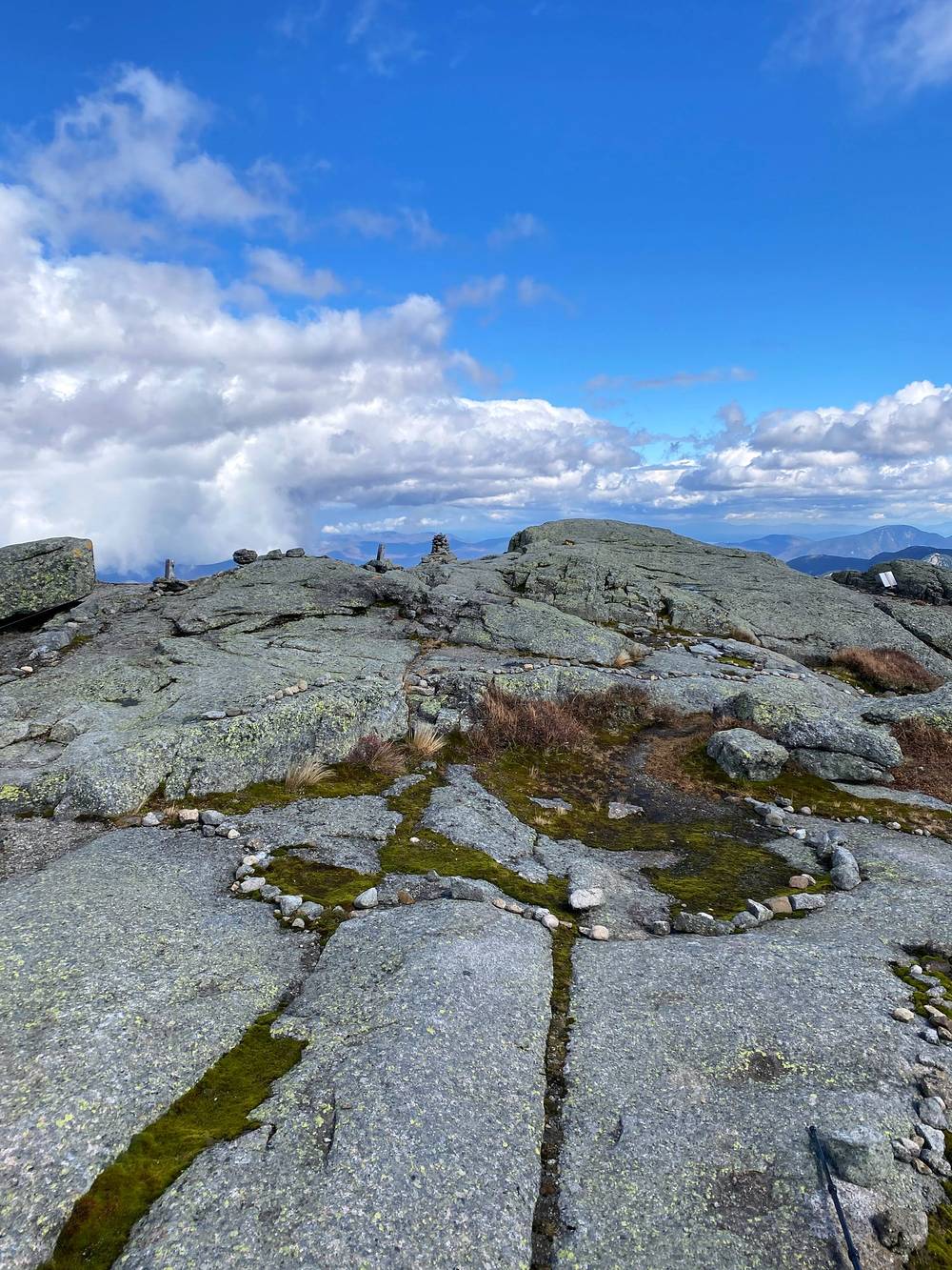
To the summit. The trail keeps climbing through spruce and fir past the Hopkins Trail junction (mile 6.0) and the Phelps Trail from Johns Brook (mile 6.6). Above that the trees get short and then stop, and the last stretch is open rock to the summit of Mount Marcy at mile 7.2: 5,344 ft, the highest point in New York. Stay on the rock: the summit's alpine plants are rare and easily killed.
Down the west side. From the summit the Mount Marcy trail drops southwest over open rock and through the trees to Four Corners (mile 8.0, about 4,350 ft), the junction with the trails to Skylight and Elk Lake. From there it turns west past Lake Tear of the Clouds (mile 8.3), the little pond often called the highest source of the Hudson River, and down Feldspar Brook to the junction with the Lake Arnold trail beside Feldspar Lean-to (mile 9.4, about 3,330 ft).
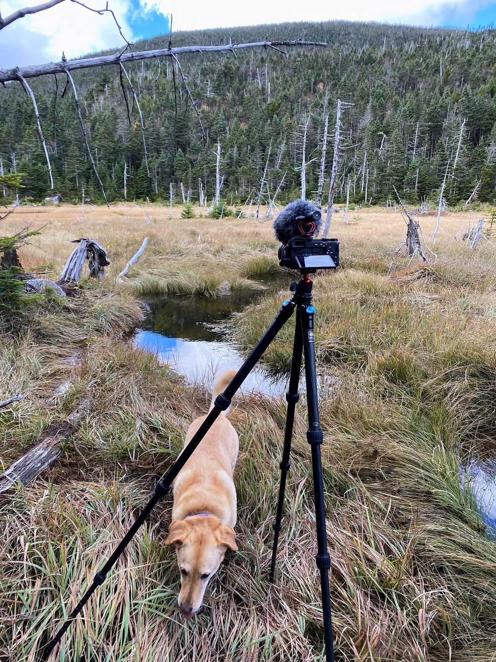
Down the Opalescent to Lake Colden. Below Feldspar the trail follows the Opalescent River down past Uphill Lean-to (mile 9.9) to the Lake Colden camping area, where the trail from Avalanche Pass comes in (mile 11.4). My lean-to was a few minutes farther, at mile 11.6.
Before the summit, turn around: the Loj is the way you came. From Four Corners the trails to Skylight and Elk Lake lead away from your car. At Feldspar (mile 9.4) the Lake Arnold trail goes north to Avalanche Camp and Marcy Dam, then back to the Loj. DEC says in 2026 it's open, but at its Opalescent River crossing the trail is flooded, the water can be knee deep or deeper and the old bog bridges float, and it lists that crossing among the ones hit by high water: don't count on it in heavy rain. From Lake Colden the lowest way back to the Loj is the Avalanche Pass trail past Avalanche Lake to Marcy Dam. It was closed by slides off Mount Colden in July 2025 and reopened on August 26, 2026, with repair work going on through 2027.
Film, Day 1 · How I did it (behind the scenes)
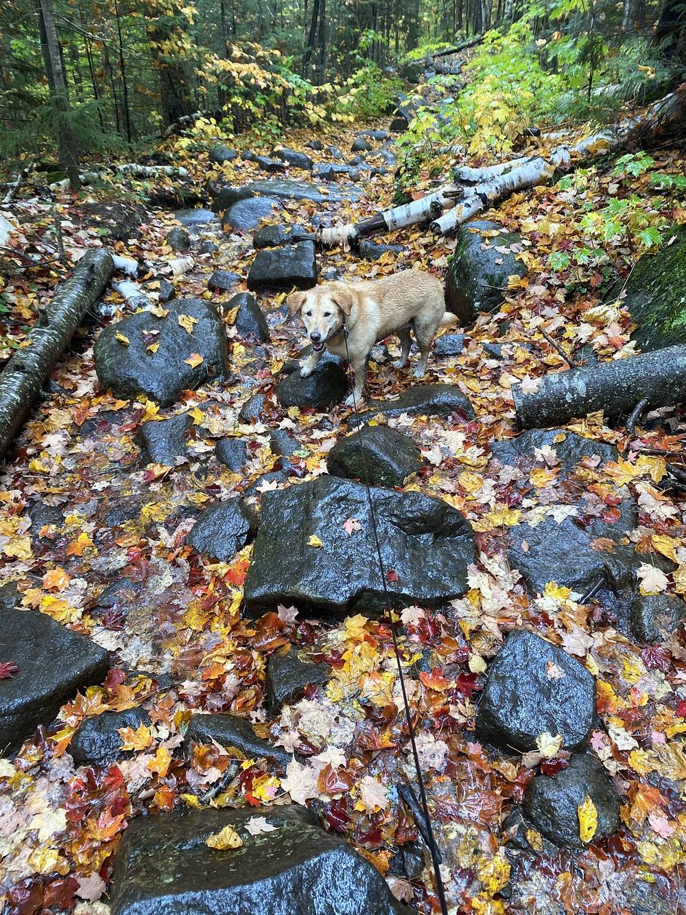
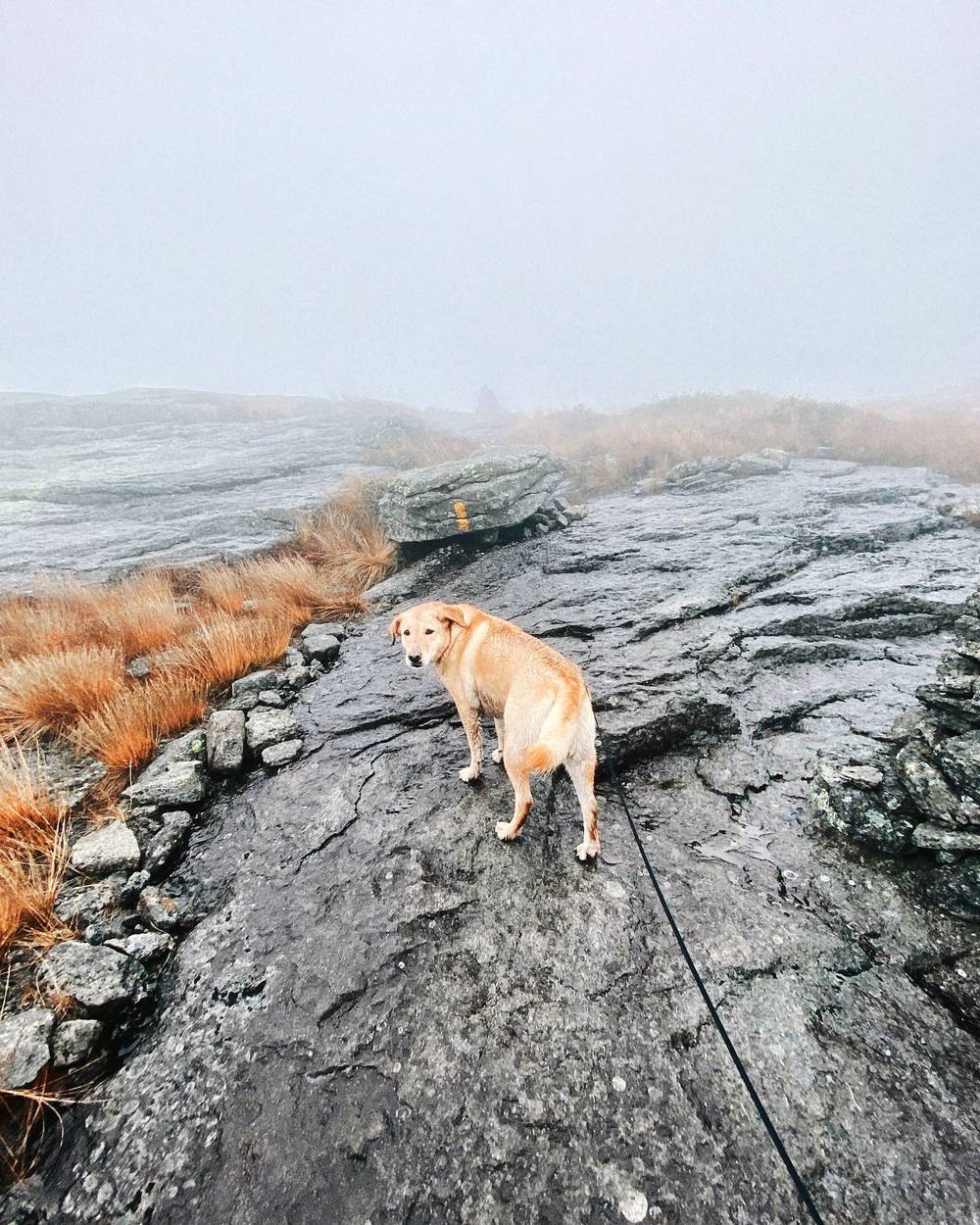
Day two, it was raining so much. Crazy weather: it was raining, then the sun was out up high, and then it was raining again. It was cold up there. Shia was a fast hiker, waiting for me.
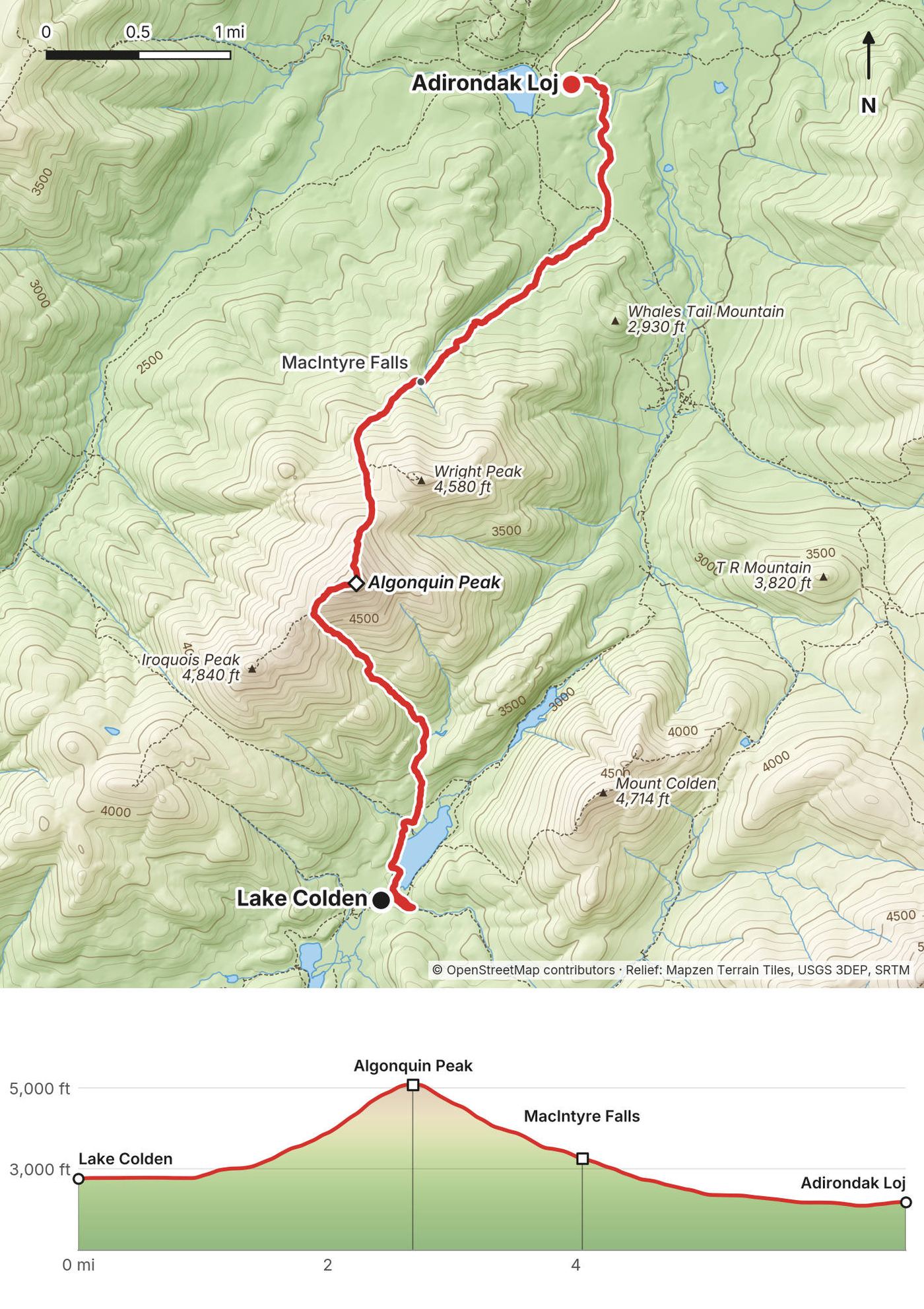
From Lake Colden I went up the steep side of Algonquin, over the top and down the other side to the Loj by about 2 p.m. Then I sat down at the grill at the Loj, covered Shia with my shell because she was a little cold, and was ready to dig in and enjoy a beautiful bacon cheeseburger. My camera battery died right before. That's the second time a camera has messed up during the burger, the final clip of a hiking film. Oh well, next time.
Along Lake Colden. From the lean-tos near the dam, the trail runs north along Lake Colden's west shore to the junction where the trail up Algonquin leaves (mile 0.9, about 2,770 ft). DEC has replaced the bridge at this junction, north of Lake Colden (its October 2026 notices).
Up the Lake Colden side. This is the steepest climb of the trip: from the lake to the summit of Algonquin, about 2,330 ft in 1.75 miles on my GPS. It took me two hours. Steep rock is slippery when it's wet; take your time.
Algonquin Peak. The summit, at mile 2.7, is 5,114 ft, the second highest in New York, and open rock with alpine plants: stay on the rock. It's exposed in bad weather.
Down to the Loj. The trail drops north off the summit, back into the trees at about mile 3.0, past the side trail to Wright Peak (mile 3.4) and MacIntyre Falls (mile 4.1), to the Van Hoevenberg Trail (mile 5.7), the trail you started on. The trailhead is a mile farther.
If the weather is bad, don't go up Algonquin. From Lake Colden the low way out is the Avalanche Pass trail past Avalanche Lake to Marcy Dam and the Van Hoevenberg Trail back to the Loj (reopened in August 2026; expect trail crews). Once you're over the summit, the Loj is the closest way out.
Film, Day 2 · How I did it (behind the scenes)
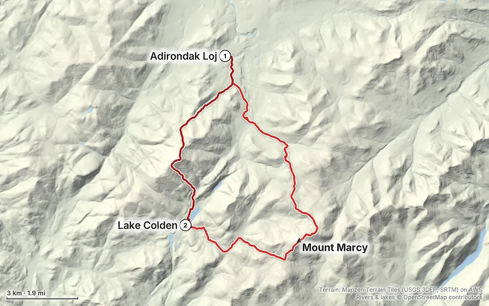
Terrain: Mapzen Terrain Tiles (USGS 3DEP, SRTM) on AWS · Rivers & lakes © OpenStreetMap contributors
Tap a map to open it full size.
These are New York State Department of Environmental Conservation (DEC) rules for the Eastern High Peaks Wilderness, checked on DEC's own pages and in the regulation (6 NYCRR 190.13) on October 1, 2026. The whole loop and my 2019 route are in the Eastern High Peaks.
Permits. None for hiking or camping in 2026, and no fee. Sign in and out at the trail register so people know where you went in and came out; the rule is to sign every DEC register you pass. In April 2026 DEC released consultants' visitor-use reports for the High Peaks and asked for comments. For Adirondack Loj Road (the Loj and South Meadow trailheads) they recommend a limit of about 400 visitors a day, by managing parking or with a hiking reservation system, and press reports on the full report say it suggests parking attendants and permits there Thursday to Sunday, June to October, starting in summer 2027. In June 2026 DEC said no policy changes were anticipated, and it hadn't adopted the recommendations by October 2026. If you're going in 2027, check DEC's High Peaks page for a permit or parking reservation.
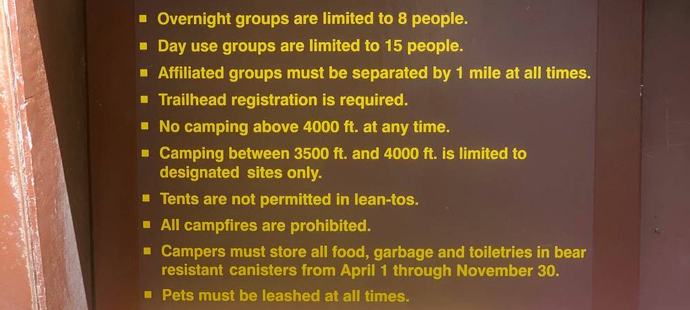
Group size. At most 15 people on a day trip and 8 overnight. DEC doesn't give permits for bigger groups here.
Bear canisters. Required for overnight campers in the Eastern High Peaks from April 1 to November 30: all food, garbage and toiletries, in a commercially made hard canister. Bag hangs don't count. DEC warns that bears here "have regularly defeated bear-resistant canisters made of clear plastic." In 2019 I went to REI right before the trip and bought one of the clear blue smaller ones, thinking it would be okay. On the trail a ranger checked my bear canister and told me that bears can open and crack those. You really need the heavy-duty ones: the big, thick black plastic canisters you can rent. See Getting there for where.
Camping. No camping above 4,000 ft, and between 3,500 and 4,000 ft only at designated sites. Use designated sites where you can, and pitch within 15 ft of the site's DEC disk; anywhere else, camp at least 150 ft from any road, trail or water. No camping on summits. From South Meadow to Flowed Lands, which takes in Marcy Dam and Lake Colden, the regulation keeps camping to designated sites once DEC has marked them all, and you must follow its posted camping signs. At Lake Colden there are lean-tos and designated sites.
Lean-tos. First come, first served; they can't be reserved. Share them until they're full, normally 8 people. No tents inside a lean-to, and DEC says to pitch tents at least 150 ft from one.
Fires. No campfires anywhere in the Eastern High Peaks. Carry a stove.
Dogs. Leashed at all times in the Eastern High Peaks, never left alone, and carry proof of your dog's current rabies vaccination.
Other rules. No drones, no bikes, no glass containers. Quiet hours 10 p.m. to 7 a.m. As I said in 2019: this is a wilderness, so that's no drones, no fires, and you sign in and out. Leave no trace. Just know the rules, and please respect these places. A DEC sign at the trail register at Heart Lake lists the same rules.
Above the trees. Marcy and Algonquin have rare alpine plants on their summits. Summit stewards ask you to walk only on bare rock.
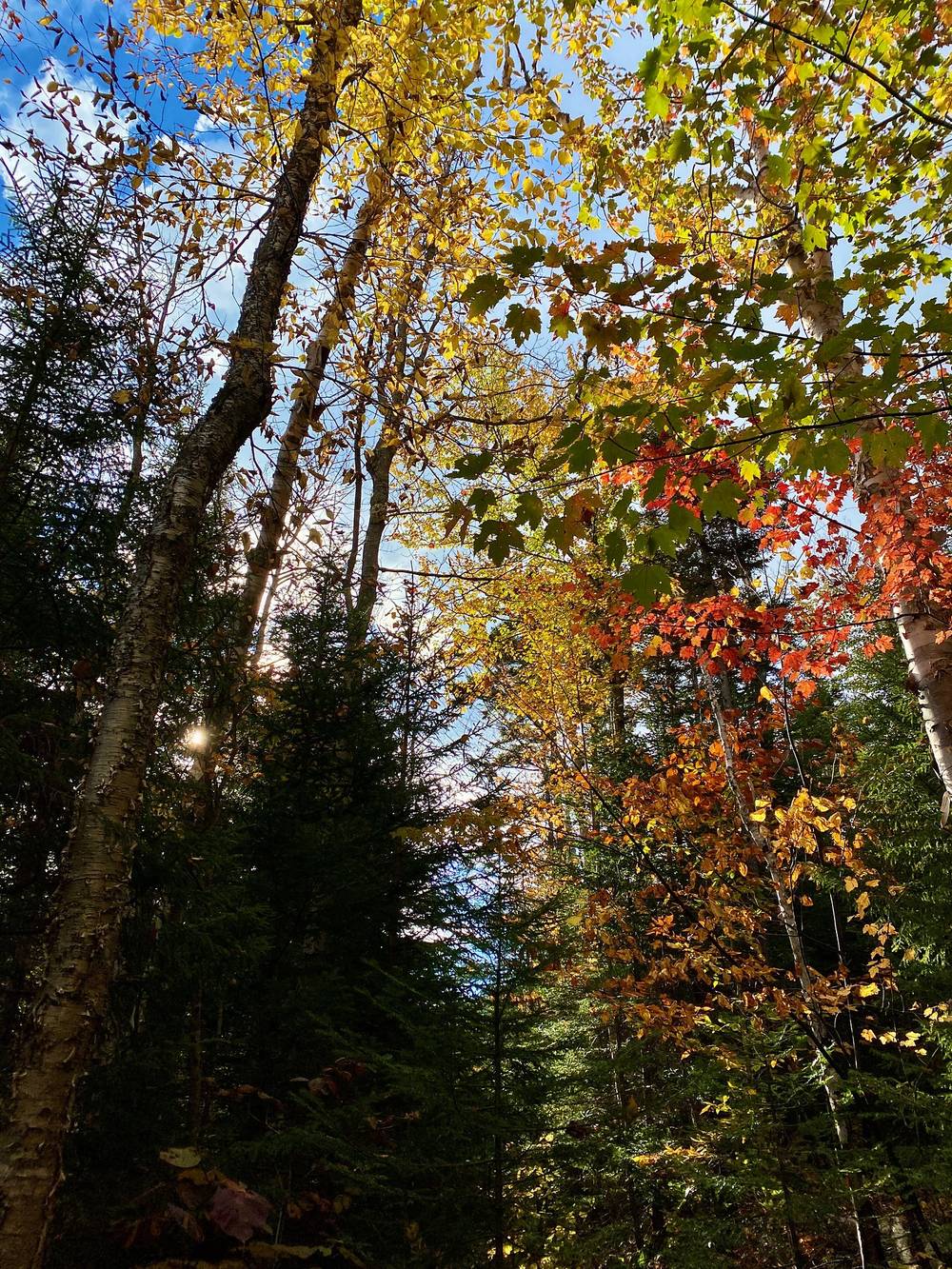
Fall. I did this hike the first week of October. The first, second and third weeks of October are peak for fall, and you're going to get those burnt orange, amber, red and yellow leaves. It's different at different heights: the valleys are a bit different than up in the mountains. I LOVE NY's foliage report had Lake Placid at peak for September 30 to October 6 in 2026.
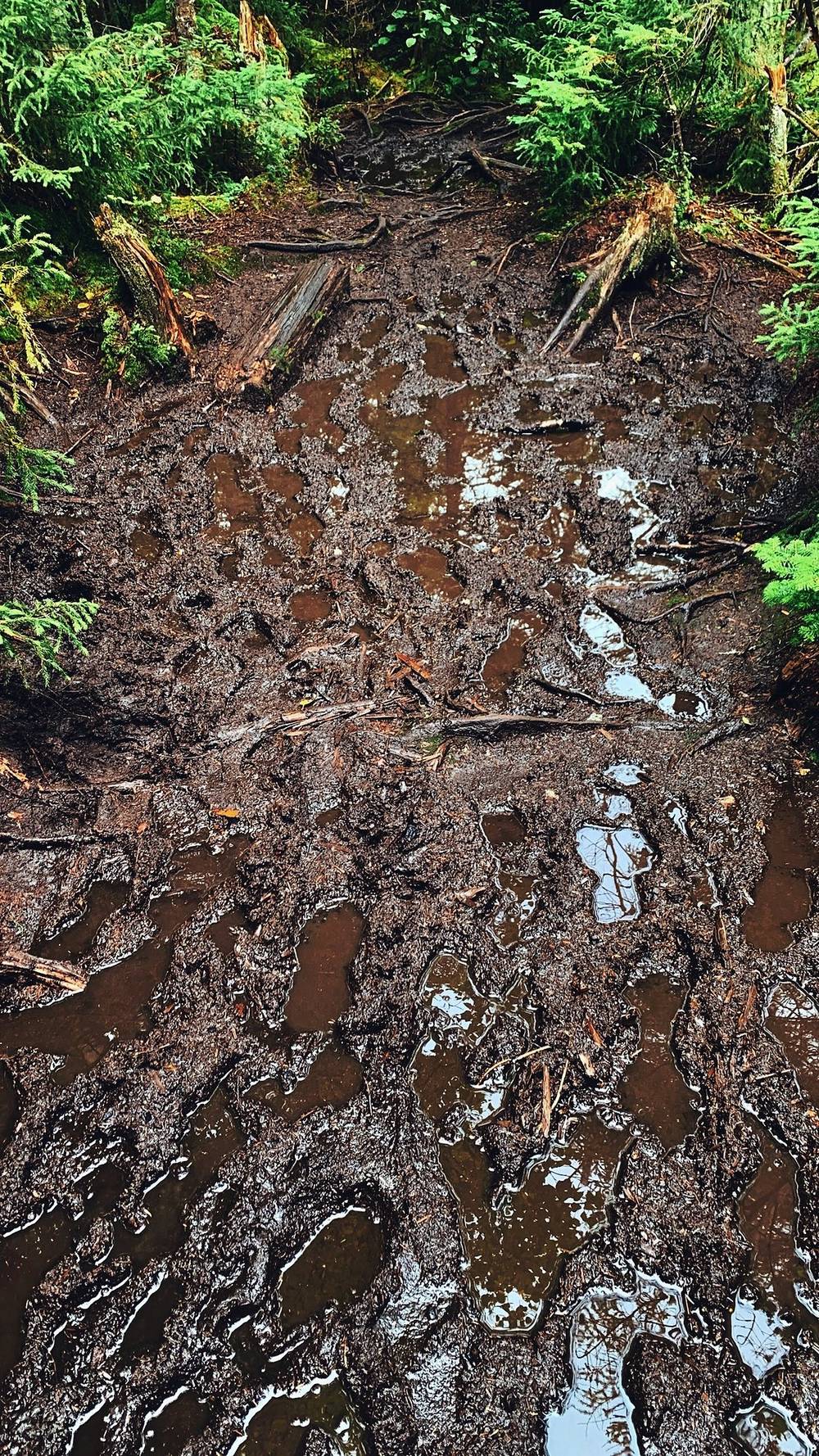
Summer. My 2019 trip was in early September. It rained the first day, and that made the trails very muddy.
Weather. The Adirondacks almost have their own weather system. Rain can come in out of nowhere, and it can be beautiful on one side and rainy on the other. That's what I got in 2020: blue sky on Marcy, and on the second day rain, then sun, then rain again. In October it can be below freezing on the summits; check the mountain forecast (see Weather and safety).
Hunting season. October is hunting season in the Northern Zone: bear from September 19 to December 6, 2026, and the regular deer season from October 24. Wear something bright orange, and put an orange vest on your dog.
Emergencies. Call 911 or the DEC Forest Ranger emergency dispatch, 833-NYS-RANGERS (1-833-697-7264). If you're lost or hurt, stay calm and stay put. Don't count on a phone signal in the valleys.
Mountain weather. Use the National Weather Service's mountain forecast for Mount Marcy (weather.gov/btv/mountain). The summits are often much colder and windier than Lake Placid. Turn back if it's bad: you can go around Algonquin through Avalanche Pass.
Wet rock and slabs. The steep side of Algonquin and the summit rock are slippery when wet, and in October they can ice up. Later in the fall, carry traction such as microspikes (the information center rents trail crampons); once there are 8 inches or more of snow, the rules require snowshoes or skis.
High water. DEC warns that streams can become impassable within minutes in heavy rain. On this loop, DEC lists the Van Hoevenberg Trail's crossings of Phelps Brook above Marcy Dam and at Indian Falls among the crossings hit by high water; the Lake Arnold trail's Opalescent crossing, a way off on Day 1, is another. If one is high on your way out, DEC's advice is to be ready to wait it out.
Hypothermia. Wet and windy is the danger, even in summer. Carry dry layers.
Bears. Use your canister for all food, garbage and toiletries, and keep it away from your sleeping spot.
Hunting. October is hunting season in the Northern Zone; wear orange.
Leave a plan with someone at home: your start, your route, your camp and when you'll be out.
How many days do I need? I did it in two: 13 miles summiting Mount Marcy the first day, as I put it in the film, and only 8 back out to Heart Lake over Algonquin the second (11.6 and 6.7 on my GPS). I think it's a good loop most people can do; you just have to be prepared for the weather. If you want an easier time, take three days and spend two nights at Lake Colden. See Other ways to do it.
How hard is it? Harder than the miles look. If you watch my videos you're probably thinking that's not that many miles for a full day of hiking, and that's the thing about the Adirondacks: it's tough to do more than 15 miles in a day. It's so dense and wooded and muddy and rocky. The climb up Algonquin from Lake Colden is the steepest part: about 2,300 ft in under 2 miles on my GPS.
Do I need a permit? No permit or reservation for the High Peaks Wilderness in 2026. You do sign in at the trail register at the trailhead. There's no quota yet, but a state study recommends limiting the Loj's road to about 400 visitors a day from 2027, possibly with permits (see Permits and rules).
Do I need a bear canister? Yes, for any overnight trip in the Eastern High Peaks from April 1 to November 30. It has to be a hard canister. In 2019 a ranger told me bears can crack the clear one I'd bought (see Permits and rules).
Where do I park? At the Adirondack Mountain Club's lot at the Adirondak Loj. In 2026 it's $25 a day for non-members, or $120 for a multi-day or full-week stay, and it fills early. In 2020 I paid about $10 for two days.
Can I have a campfire? No. Campfires are banned everywhere in the Eastern High Peaks. Bring a stove.
Can I bring my dog? Yes, on a leash. In the Eastern High Peaks dogs must be leashed at all times. Shia came with me in 2020. See Hiking with a dog.
Where do I sleep? Lake Colden has lean-tos and designated campsites. I slept in the Opalescent Lean-to. Lean-tos are first come, first served, and you share them.
Which way should I go? I went over Marcy first, so the longer day came first and I climbed up Algonquin's steep Lake Colden side. Going the other way, you'd go down that side instead.
Spend two nights at Lake Colden. On the middle day you could climb Mount Colden from the lake, or go up and back to Iroquois Peak from the col beside Algonquin, or just rest. Remember that you can't camp above 3,500 ft except at designated sites.
Up Algonquin from the Loj first, down its steep side to Lake Colden, then over Marcy on Day 2. The Lake Colden side of Algonquin is then a steep descent, which is harder on the knees and worse when it's wet.
Instead of going over Algonquin on Day 2, walk out from Lake Colden through Avalanche Pass, past Avalanche Lake, to Marcy Dam and the Loj. It's the low route and the one to use in bad weather. On my 2017 trip, from Heart Lake, I went in this way, past Avalanche Lake, camped near Lake Colden, climbed Algonquin, and came out over Mount Colden the next day. The pass reopened in August 2026 after the 2025 slides; the two designated campsites at Avalanche Lake are closed.
Up and back from the Loj on the Van Hoevenberg Trail: 7.2 miles each way on my GPS, about 14.4 miles round trip (the usual figure is 14.8). Start early.
My 2019 route: from the Garden up Johns Brook to Marcy. See My 2019 traverse.
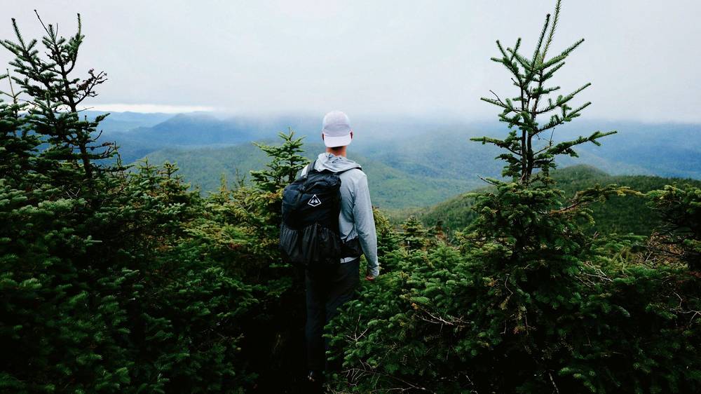
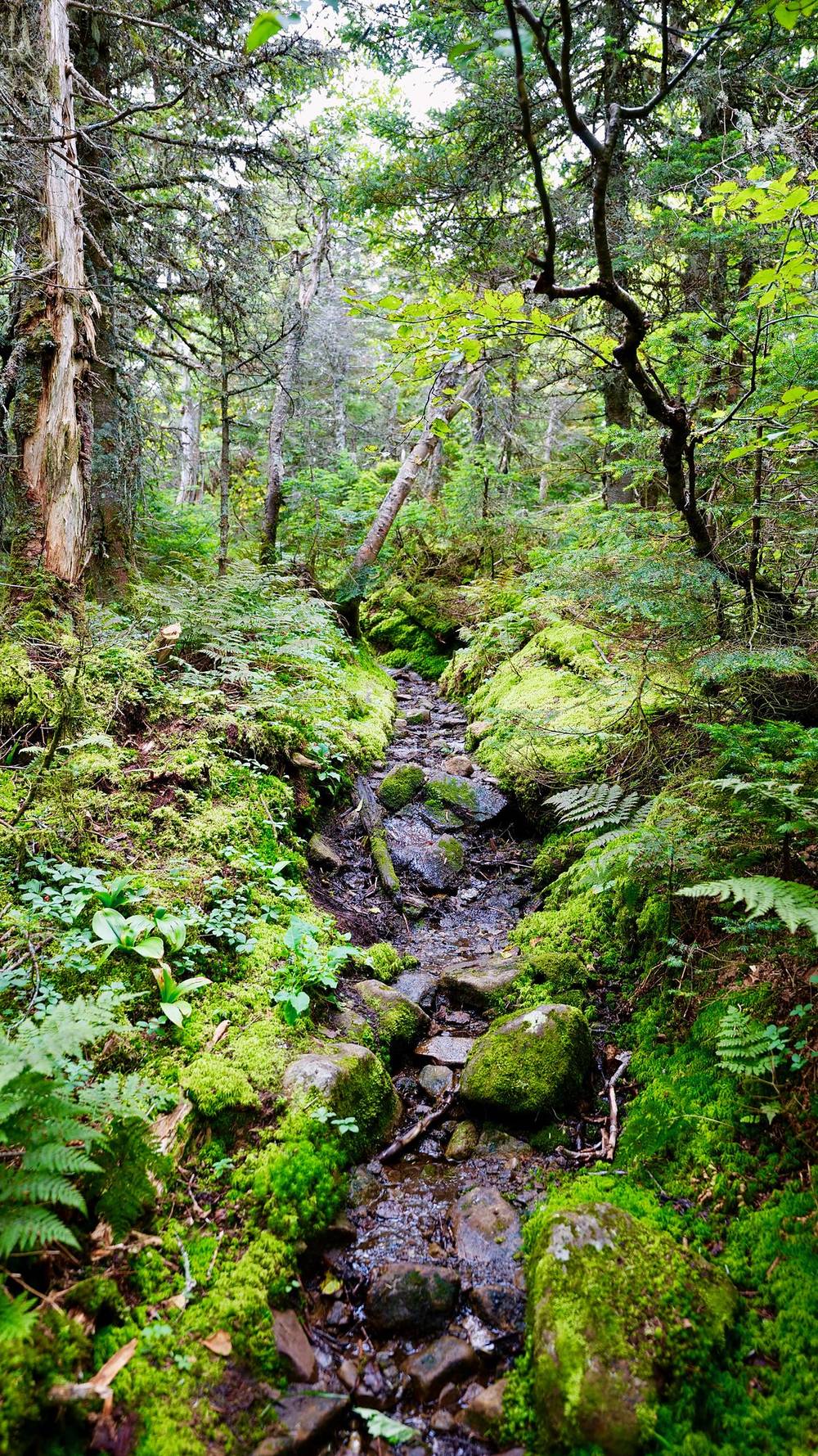
This hike was a little more challenging than I expected. It rained the first day, and that made the trails very muddy. The Adirondacks are very forested. It's very difficult to get through this dense, mossy, rooted trail, and extremely difficult when it's muddy like it was. But to be honest, that's what I love about hiking: you face challenges and you overcome them, no matter what. Figure it out, get creative, and tough it through.
It's a one-way trip: it starts in Keene Valley and ends at Heart Lake, so you need a ride, or you do what I did and walk the road into Lake Placid.
| 2019 | Route | Miles (km) | Up / down (ft) | Sleep |
|---|---|---|---|---|
| Day 1 | Keene Valley, the Garden, Johns Brook, the Hopkins Trail, Mount Marcy, Lake Tear of the Clouds to Feldspar Lean-to | 12.2 (19.6) | 4,291 / 2,044 | Feldspar Lean-to |
| Day 2 | The Opalescent, Lake Colden, the Herbert Brook herd path, Mount Marshall, Cold Brook Pass to the Indian Pass Trail | 8.1 (13.1) | 1,814 / 2,758 | Campsite near Scott Clearing |
| Day 3 | The Indian Pass Trail past Rocky Falls to Heart Lake | 4.4 (7.1) | 231 / 428 | Lake Placid |
| Day 3 | Adirondack Loj Road and Route 73 to the village of Lake Placid | 9.0 (14.4) | 480 / 812 |
I bought my food in town right before I headed out: Twix, oatmeal, jerky, apples, oranges, all of that. I started walking from Keene Valley at about 8:45 a.m., up Johns Brook Lane to the Garden trailhead (mile 1.3), then up the Johns Brook valley on the Phelps Trail, onto the Hopkins Trail near Bushnell Falls (mile 6.2), and up to the Van Hoevenberg Trail below Marcy's summit. I summited Mount Marcy, the highest point in New York, in rain and wind at about 2 p.m. (mile 9.9). Then down the west side past Lake Tear of the Clouds to Feldspar Lean-to (mile 12.2) by about 5. It rained a lot that trip. I had a black rain jacket that says it's waterproof. Not really: I was just soaked that entire first day.
I had my hammock on this trip, and I think I'm not going to hammock camp anymore. It always sounds better than it actually is. On the first night it was raining, so I decided to just sleep in the lean-to. There were four other people, so it was kind of tight quarters. They say six max, but that would be kind of crazy. (DEC's rule is to share a lean-to until it's full, normally 8 people.)
Down the Opalescent to Lake Colden, then toward Flowed Lands to the start of the Herbert Brook herd path (mile 2.9), and up it to the summit of Mount Marshall (4,360 ft, mile 4.8) by about 2:15 p.m. Mount Marshall has no maintained trail: the herd path is unofficial, and hikers describe it as crossing the brook many times and unmarked near the top. From the summit I went down the herd path to Cold Brook Pass and the Cold Brook Pass trail to the Indian Pass Trail (mile 7.2) and camped near Scott Clearing (mile 8.1) at about 6:20 p.m. It took me ten hours to go 8 miles.
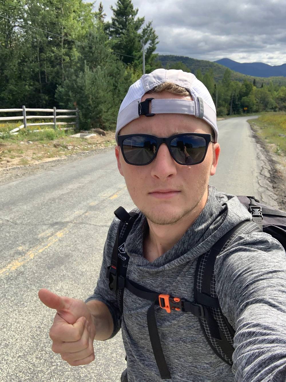
The Indian Pass Trail north is nearly flat, about 230 ft of climbing: past Rocky Falls (mile 1.8) to the trail register at Heart Lake (mile 4.0) and the Adirondak Loj (mile 4.4) in two hours. Then I walked to Lake Placid: Adirondack Loj Road to Route 73 and into the village, 9 miles in three hours.
DEC's trail notices on October 1, 2026 list problems on or near the 2019 route:
Mount Marshall's herd path needs map and compass skills, and the Cold Brook descent is rough. If you're not comfortable off marked trails, do the loop in this guide instead, or climb Marshall and go back the way you came.
Getting to the start. The Garden trailhead at the top of Johns Brook Lane is $10 a day (2026); when it's full, the Town sends you to the Rooster Comb lot. The Town of Keene ran a shuttle from Marcy Field to the Garden on weekends from July 4 to October 11, 2026, $10 a person for a round trip, cash only. The Town tows cars parked along Johns Brook, Market and Adirondack Streets in Keene Valley.
Keene Valley. In 2019 I listed my places to visit in Keene Valley: Valley Grocery for groceries, the Noon Mark Diner, Old Mountain Coffee Company and the bar at the Keene Valley Ausable Inn. All four were still listed in 2026. I also listed the Keene Valley Hostel, which may have closed: check before you plan on it.
Film, Day 1 · Day 2 · Day 3 · Behind the scenes
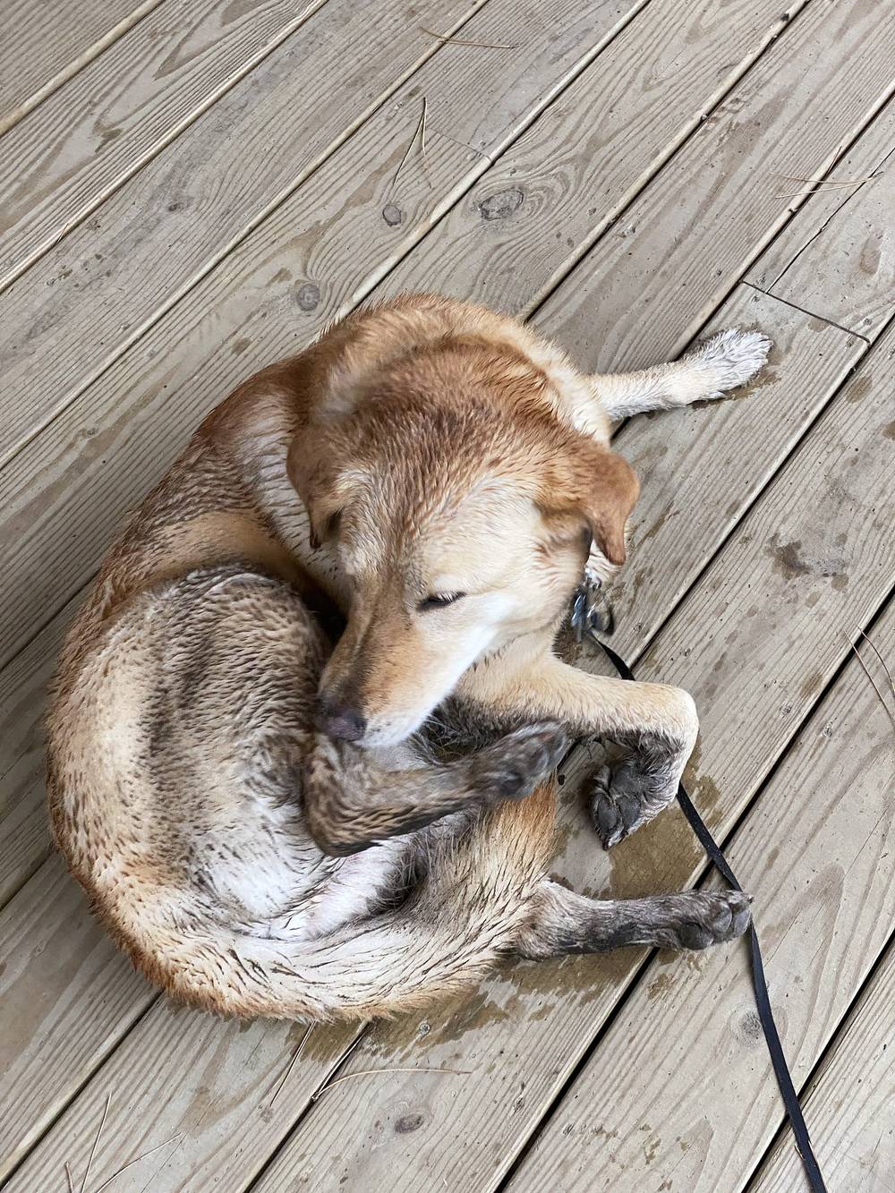
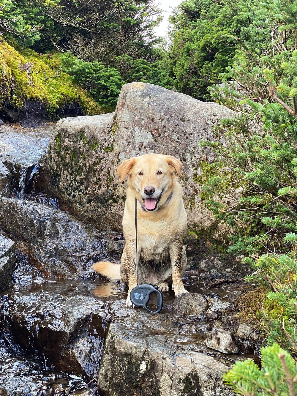
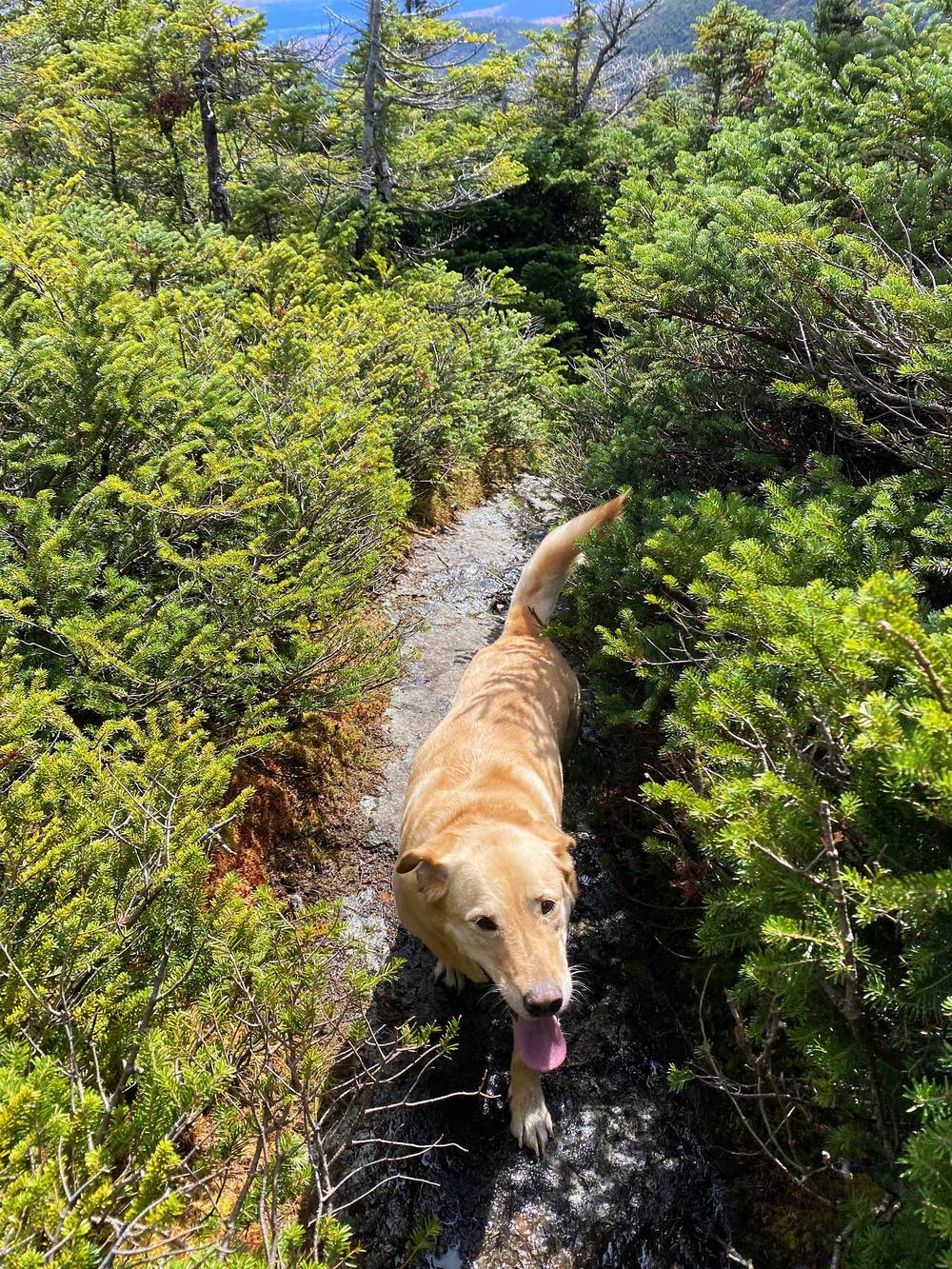
Shia is my parents' dog. I grew up with her; she was about nine, a yellow lab mixed with something. She doesn't really get out hiking that often, but once she was there she was hiking faster than me. She does not like going back and forth while I set up the camera.
The rules (2026). Dogs must be leashed at all times in the Eastern High Peaks, kept under control and never left alone, and you must carry proof of your dog's current rabies vaccination. Dog food goes in the bear canister with yours. Dogs aren't allowed at all on the Adirondack Mountain Reserve (the Ausable Club land at St. Huberts), which this loop doesn't use.
What I learned. She wouldn't wear the booties I bought her, so we ditched them. She was a little cold at the end of Day 2, and I covered her with my shell. She got very muddy. Bring a towel for the car, and something warm for the dog in the fall.
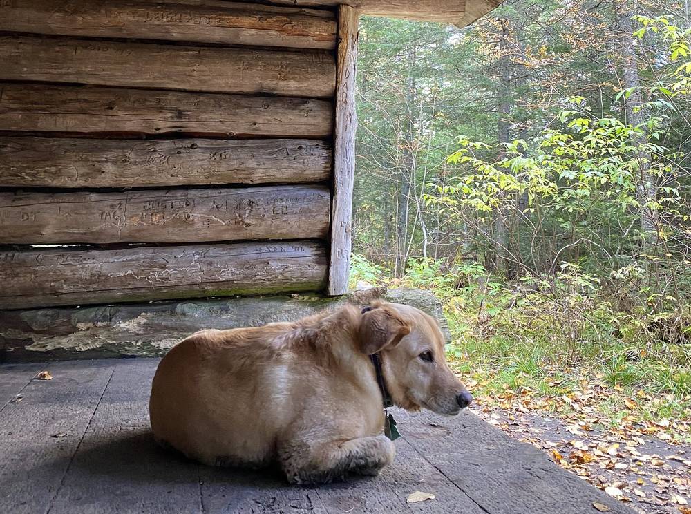
Hunting season. In October, put a bright orange vest on your dog.
Lodging. The Lake House in Lake Placid welcomes dogs (2026: up to two per room, up to 75 pounds each, $75 per dog per night).
These change every year. Everything else in this guide stays the same.
Rules and closures
Getting there
Conditions
Your stuff
Planning questions about Adirondack High Peaks, answered only from this page's facts, the creators' versions and hikers' public tracks, with where each answer comes from. When the data doesn't say, the answer says "not given".
From hikers
Sign in to comment. Free; your hikes stay private unless you share them.
Some lodging links earn me a small commission at no cost to you.
Something wrong or missing on this page? Send feedback.